The best road cycling routes around Tisleifjorden
5.0
(1)
30
riders
3
rides
Road cycling routes around Tisleifjorden are set within the Golsfjellet region of Norway, characterized by a large lake, surrounding hills, and varied terrain. The area features a mix of accessible cycling paths, with sections ranging from relatively flat to frequent ascents. Surfaces include asphalt, paved roads, and some compacted gravel paths. The landscape encompasses lakes, rivers, and plateaus, offering diverse road cycling experiences.
Best road cycling routes around Tisleifjorden
- The most popular road cycling route is Kamben Mountain Hotel –…
Last updated: October 27, 2026
5.0
(1)
10
riders
75.8km
04:17
980m
980m
Hard road ride. Very good fitness required. Some segments of this route may be unpaved and difficult to ride.
13
riders
46.5km
02:06
440m
440m
Moderate road ride. Good fitness required. Mostly well-paved surfaces and easy to ride.

7
riders
135km
07:55
2,200m
2,200m
Hard road ride. Very good fitness required. Some segments of this route may be unpaved and difficult to ride.
Our route recommendations are based on thousands of hikes, rides, and runs completed by other people on komoot.
Start today with a free account
Your next adventure awaits.
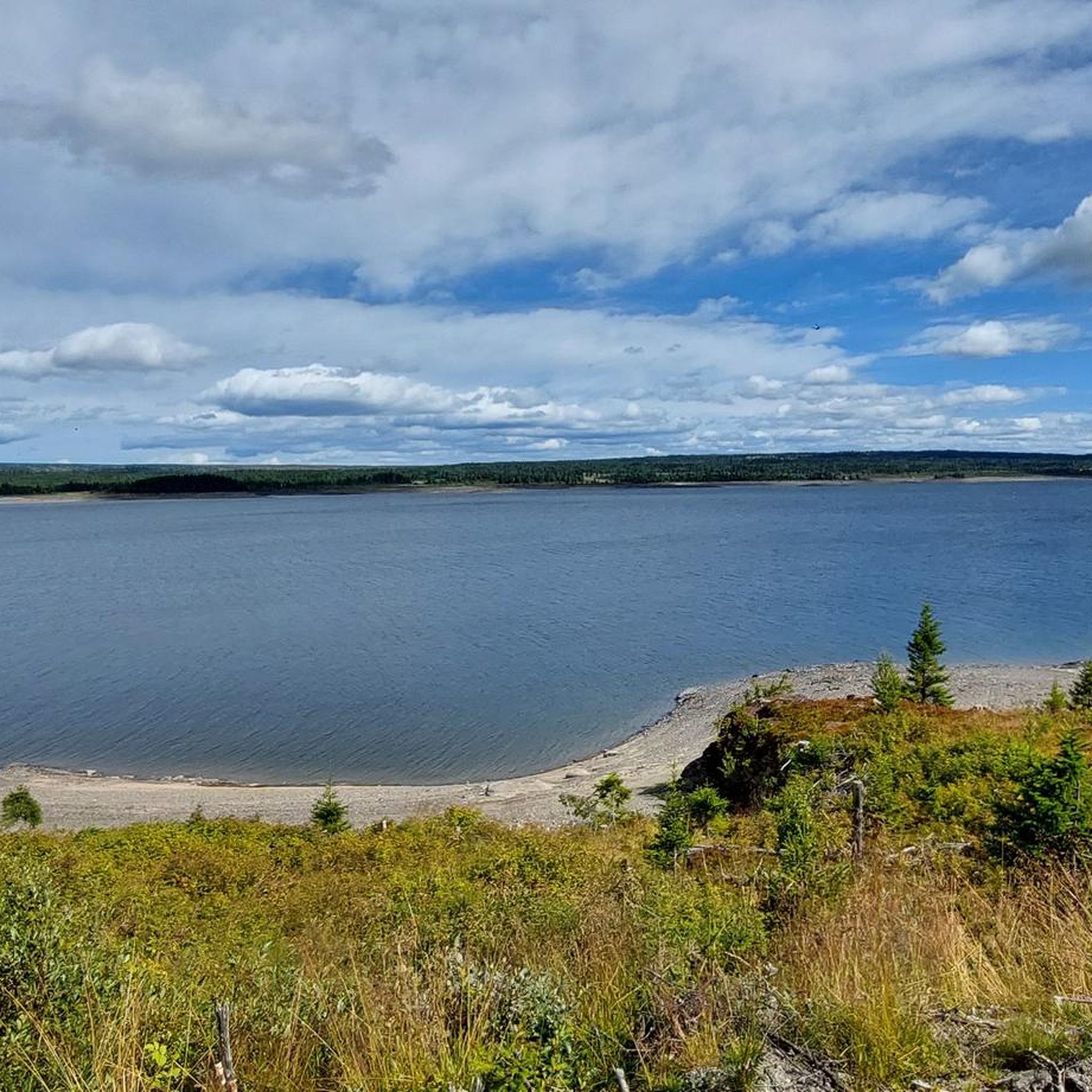
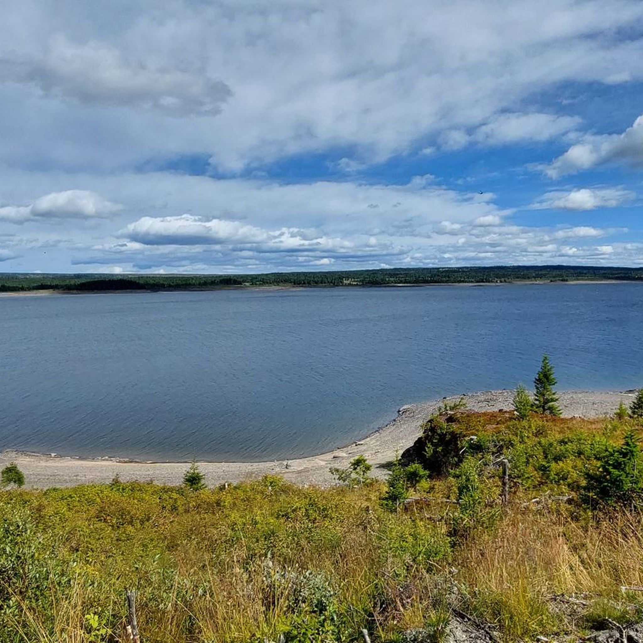
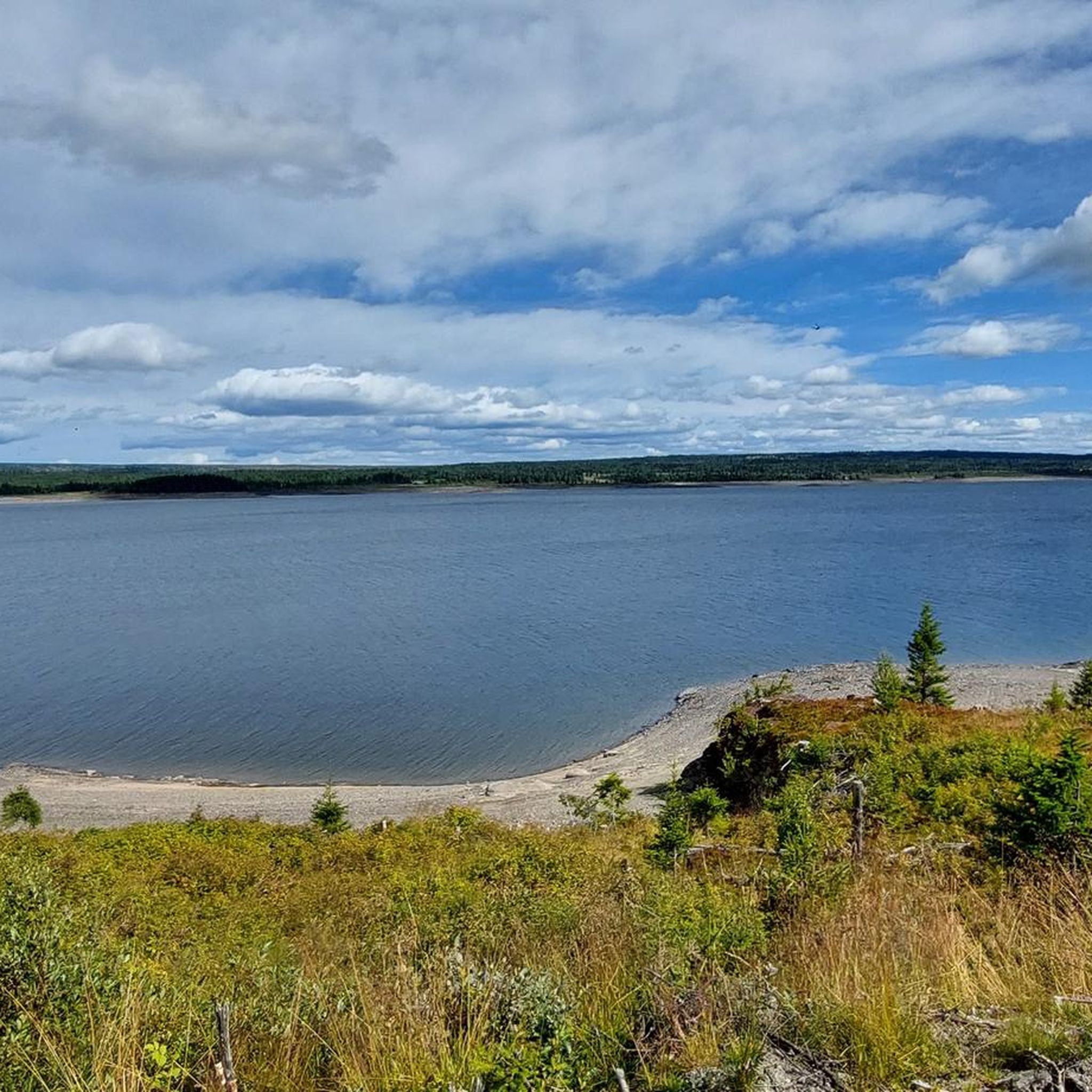

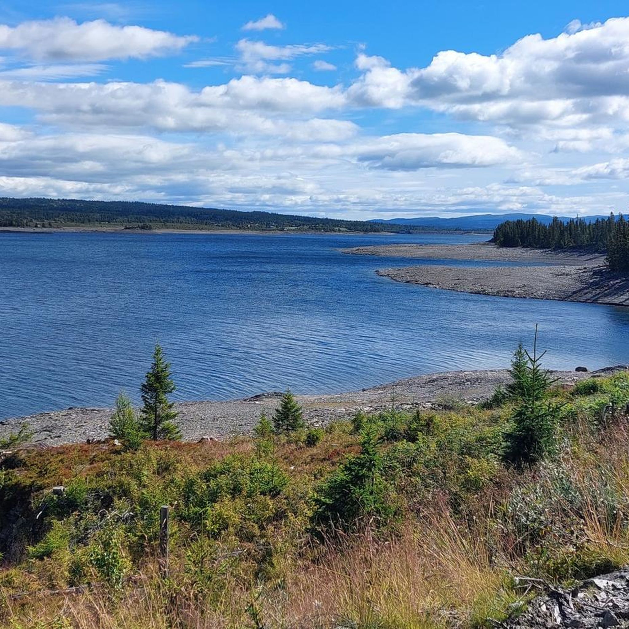
Tips from the Community


Kamben Høyfjellshotell is a Mjølkevegen Partner on the Golsfjellet mountain plateau. Dine and sleep well and enjoy the great service!
0
0
The rest shelters by Mjølkevegen along the route are called "Mjølkerampe" in Norwegian, referring to the stands where milk buckets were placed to be collected by the passing milk vehicle. This one is located at Furuset where the two route alternatives via Gauklie and Tyrisholt/Langestølen meet again. Enjoy your break, and please do not litter.
0
0
Langestølen Kolonial & Kafé is a Mjølkevegen Partner and offers passing cyclists food and beverages as well as a small shop. You can also charge your e-bike here. The place Langestølen is named after its shape - the long farm village. It is located on the Stølsvidda mountain plateau, a Selected Cultural Landscape with the highest number of active mountain farms in all of Northern Europe. The area comprises a unique biodiversity and is especially important for birds. Enjoy and do not disturb!
1
0
The rest shelters by Mjølkevegen along the route are called "Mjølkerampe" in Norwegian, referring to the stands where milk buckets were placed to be collected by the passing milk vehicle. This one is located centrally at Vaset. Enjoy your break, and please do not litter.
0
0

Lonely, beautiful highlands with a perfect racing bike road
0
0
Frequently Asked Questions
What kind of terrain can I expect when road cycling around Tisleifjorden?
The terrain around Tisleifjorden offers a varied experience. While generally considered relatively flat, you will encounter frequent ascents and descents. For example, the popular 'Tisleifjorden rundt' route includes a steep downhill stretch followed by a challenging two-kilometer uphill climb to Nøreli.
Are there challenging road cycling routes in the Tisleifjorden area?
Yes, for those seeking a more demanding ride, the region offers challenging options. The Buahaugen – Høgefoss loop from Metubba naturreservat is a difficult 135.1 km trail with significant elevation gain, typically taking nearly 8 hours to complete.
Are there family-friendly road cycling options around Tisleifjorden?
The 'Tisleifjorden rundt' route is often considered suitable for families with older children due to its moderate to easy difficulty and approximately 37-38.5 km length. It provides an accessible way to experience the scenic beauty of the lake.
When is the best season for road cycling in Tisleifjorden?
The best season for road cycling in Tisleifjorden is typically during the warmer months when the roads are clear of snow and ice. This allows for optimal conditions to enjoy the varied terrain and scenic landscapes.
Are there places to stop for refreshments or amenities along the road cycling routes?
Yes, along the 'Tisleifjorden rundt' route, you can find amenities such as a shop and kiosk at Langestølen. Golsfjell Fjellstue and Golsfjellet Hotell are also situated nearby, offering potential stops for refreshments.
What natural features or viewpoints can I see while cycling around Tisleifjorden?
Road cycling routes around Tisleifjorden offer stunning views of the large lake itself, covering about 13.54 square kilometers. You'll also follow sections of the Flya River and experience the picturesque landscapes of the Golsfjellet region, characterized by hills, plateaus, and dramatic natural beauty.
What types of road surfaces will I encounter on Tisleifjorden's cycling routes?
The routes around Tisleifjorden feature a mix of surfaces. You can expect asphalt and paved roads, but some sections may also include compacted gravel or unpaved paths, adding to the varied cycling experience.
Where can I park my car when starting a road cycling tour around Tisleifjorden?
While you have the flexibility to start the 'Tisleifjorden rundt' route at any point, Oset Fjellhotell is a commonly suggested starting location, implying parking facilities may be available there.
Are there circular road cycling routes available in the Tisleifjorden region?
Yes, the most prominent route is the 'Tisleifjorden rundt' (around Tisleifjorden), which is a circular route approximately 37-38.5 kilometers long. Other circular options in the wider Golsfjellet area include Vesle Golsfjellrunden and the Lauvsjøen circuit.
Are there options for longer road cycling tours beyond the immediate Tisleifjorden loop?
Absolutely. Beyond the Tisleifjorden loop, the broader Golsfjellet area provides access to longer cycling tours. A notable example is the Mjølkevegen, a significantly longer route spanning approximately 230 km, offering an extended adventure.
How many road cycling routes are available in the Tisleifjorden area?
There are several road cycling routes available in the Tisleifjorden area, with komoot featuring a selection of routes for various abilities. This guide highlights a few, including moderate and difficult options.
What do other road cyclists say about the routes around Tisleifjorden?
Over 23 road cyclists have used komoot to explore Tisleifjorden's varied terrain. They often praise the diverse landscapes, from the large lake to the surrounding hills, and the mix of accessible paths and more challenging sections.
Is it possible to rent road bikes in the Tisleifjorden area?
While specific rental locations are not detailed in the guide, the popularity of cycling in the Golsfjellet region suggests that local accommodations or sports shops might offer bike rental services. It's advisable to check with local tourist information or hotels in advance.
Most popular routes around Tisleifjorden

Get inspired with the komoot mobile app


Explore more
Browse the best Road cycling routes in other regions.
