The best walks and hikes around Otrøvatnet
4.7
(52)
337
hikers
17
hikes
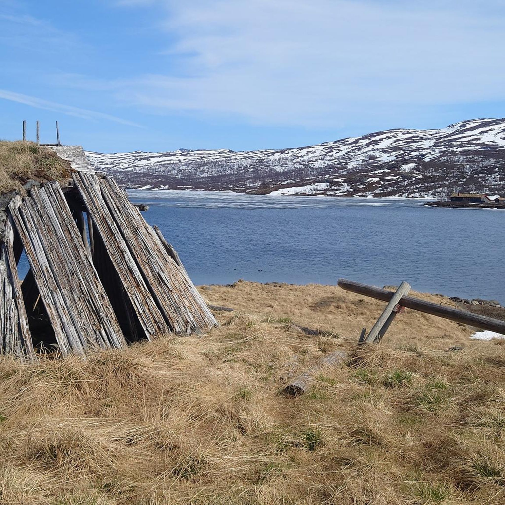
Hiking around Otrøvatnet offers diverse landscapes, from forested slopes to bare mountain terrain. The region, situated in the Filefjell area, features a lake spanning 2 square kilometers, which is the source of the Begna River. To the south, forested slopes ascend to a plateau around 1,200 meters above sea level, providing varied elevation for hikers. This area is also known for its historical routes, including parts of the ancient Kongevegen.
Best hiking trails around Otrøvatnet
- The most popular hiking route is Aluminum Footbridge Over Gorge loop from Otrøvatnet, a 3.3 miles (5.2 km) trail that takes 1 hour 41 minutes to complete. This easy route features an elevation gain of 732 feet (223 meters).
- Another top favourite among local hikers is Gamlestøvegen – Gamlestøga loop from Otrøvatnet, a moderate 10.2 miles (16.4 km) path. This trail includes an ascent of 1,624 feet (495 meters) and offers varied terrain.
- Local hikers also love the Nystøga – Hiking trail to Nystøgo loop from Otrøvatnet, a 10.5 miles (16.9 km) trail leading through mountain landscapes, often completed in about 5 hours 3 minutes.
- Hiking around Otrøvatnet is defined by forested slopes, mountain plateaus, and historical routes like the Kongevegen. The network offers options for different ability levels, from easy loops to more challenging mountain trails.
- The routes in Otrøvatnet are highly rated by the komoot community with an average score of 4.7 stars from over 30 reviews. More than 170 hikers have used komoot to explore Otrøvatnet's varied terrain.
Last updated: October 13, 2026
5.0
(2)
14
hikers
16.7km
05:00
470m
470m
Hard hike. Very good fitness required. Easily-accessible paths. Suitable for all skill levels.
5.0
(1)
4
hikers
23.5km
06:55
630m
630m
Hard hike. Very good fitness required. Easily-accessible paths. Suitable for all skill levels.

8
hikers
11.4km
03:40
450m
450m
Moderate hike. Good fitness required. Easily-accessible paths. Suitable for all skill levels.
5.0
(1)
10
hikers
5.24km
01:42
220m
220m
Easy hike. Great for any fitness level. Easily-accessible paths. Suitable for all skill levels.
5.0
(1)
5
hikers
13.7km
04:09
460m
460m
Moderate hike. Good fitness required. Easily-accessible paths. Suitable for all skill levels.
Get access to more routes and recommendations from other explorers.
Already have an account?
Our route recommendations are based on thousands of hikes, rides, and runs completed by other people on komoot.
Start today with a free account
Your next adventure awaits.
Popular around Otrøvatnet
Tips from the Community

Sulebu is a self-service DNT cabin at 1,330 metres above sea level and a popular overnight stop in the Skarvheimen mountains. The cabin sleeps 22 guests and is equipped with a kitchen, food supplies and everything needed for a comfortable stay. It can be booked in advance, while a limited number of beds are kept available for drop-in visitors. More info at https://hyttebestilling.dnt.no/hytte/10686
0
0

Once a former royal estate, Nystøga is now a beautifully restored guesthouse that welcomes hikers. Its traditional wooden buildings and peaceful surroundings make it perfect for a break or an overnight stay.
1
0

There is absolute silence here and the reindeer walk past behind the house.
0
0

Beautiful hiking trail with beautiful views and lots of birds.
1
0
Frequently Asked Questions
How many hiking trails are there in Otrøvatnet, and what are their difficulty levels?
The Otrøvatnet area offers a diverse range of hiking experiences with over 15 trails. You'll find options for various skill levels, including 1 easy route, 12 moderate routes, and 2 difficult trails, ensuring there's something for everyone.
Are there any family-friendly hiking trails around Otrøvatnet?
Yes, for families or those seeking a less strenuous walk, the area provides easy options. A great choice is the Aluminum Footbridge Over Gorge loop from Otrøvatnet. This 5.2 km trail is considered easy and takes approximately 1 hour 41 minutes to complete, offering a pleasant experience for all ages.
What historical landmarks or natural features can I see while hiking around Otrøvatnet?
Hiking around Otrøvatnet offers a journey through history and nature. Many trails, including parts of the well-known Otrøvatnet Lake Loop, follow the historic Kongevegen (King's Road), which was recognized with the EU prize for Cultural Heritage. Along these paths, you can discover Iron Age bloomeries, ancient coal pits, and ruins of houses dating back centuries. You'll also encounter two mountain lodges steeped in local legends and experience the scenic beauty of the Begna River's source.
Are there any circular hiking routes available in the Otrøvatnet area?
Yes, many of the trails around Otrøvatnet are circular, allowing you to start and end at the same point. A notable example from the region is the 'Otrøvatnet Lake Loop,' an 11.7-kilometer trail that typically takes around four hours. Komoot also features several loop trails, such as the moderate Gamlestøvegen – Gamlestøga loop from Otrøvatnet, which covers 16.4 km.
What is the best time of year to go hiking around Otrøvatnet?
The best time for hiking around Otrøvatnet is generally during the warmer months, from late spring to early autumn, when the trails are clear of snow and the weather is most favorable. This period allows you to fully appreciate the lush forest belts and the bare mountain terrain. The region is also a significant seasonal migration corridor for wildlife, offering unique viewing opportunities.
Is there parking available near the hiking trailheads around Otrøvatnet?
While specific parking details for every trailhead are not provided, the Filefjell area, where Otrøvatnet is located, is a popular outdoor destination. It is generally advisable to look for designated parking areas near common starting points for trails, especially those leading to popular routes like the Kongevegen or the Otrøvatnet Lake Loop. Always check local signage upon arrival.
What kind of terrain can I expect on the hiking trails around Otrøvatnet?
The terrain around Otrøvatnet is quite varied. You can expect to traverse paths that lead from lush forested slopes up to more exposed, bare mountain terrain. To the south of the lake, trails gradually ascend to a plateau approximately 1,200 meters above sea level, offering diverse elevation changes. This mix provides both challenging climbs and scenic, gentler sections.
What do other hikers enjoy most about hiking in Otrøvatnet?
The hiking experiences in Otrøvatnet are highly regarded by the komoot community, with an average rating of 4.7 stars from over 30 reviews. Hikers frequently praise the diverse landscapes, which range from forested areas to mountain plateaus, and the historical significance of routes like the Kongevegen. The variety of trails catering to different ability levels is also a key highlight.
Are there any longer, more challenging hikes for experienced trekkers?
Yes, for experienced trekkers looking for a challenge, Otrøvatnet offers several difficult routes. One such option is the Nystøga – Hiking trail to Nystøgo loop from Otrøvatnet, a 16.9 km trail that leads through mountain landscapes and typically takes around 5 hours to complete. Another demanding route is the Gamlestøga – DNT Sulebu loop from Otrøvatnet, spanning 23.5 km.
Can I bring my dog on the hiking trails around Otrøvatnet?
While specific regulations for dogs on every trail are not detailed, generally, dogs are welcome on hiking trails in Norway, often on a leash, especially during certain seasons to protect wildlife. Given that the region is a significant seasonal migration corridor for deer and elk, it's particularly important to keep dogs under control. Always check for local signage or specific rules at trailheads regarding pets.
What is the elevation gain like on trails around Otrøvatnet?
The elevation gain varies significantly across the trails in Otrøvatnet, reflecting the diverse landscape. For instance, an easy route like the Aluminum Footbridge Over Gorge loop has an elevation gain of about 223 meters. More challenging routes, such as the Gamlestøvegen – Gamlestøga loop, involve ascents of around 495 meters, with some difficult trails reaching over 600 meters of elevation gain.
Most popular routes around Otrøvatnet

Get inspired with the komoot mobile app


Explore more
Browse the best Hikes in other regions.
