The best road cycling routes in Curry County
4.9
(6)
99
riders
11
rides
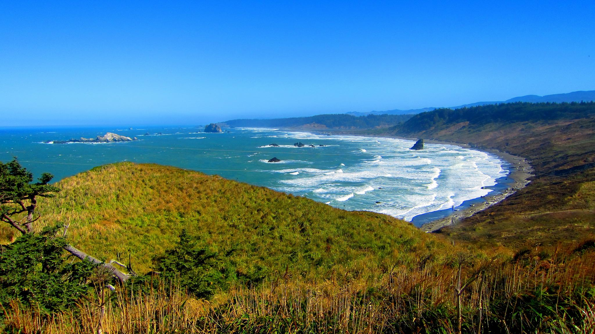
Road cycling in Curry County offers diverse terrain along Oregon's rugged coastline and through lush forests. The region is characterized by dramatic cliffs, secluded beaches, and the winding Lower Rogue River. Cyclists encounter varied landscapes, from coastal bluffs to dense woodlands, with routes often featuring elevation changes. The area provides a mix of dedicated bikeways and scenic roadways, including sections of Highway 101.
Best road cycling routes in Curry County
- The most popular road cycling route is Powers to Agness…
Last updated: July 26, 2026
5.0
(1)
2
riders
69.5km
03:53
1,320m
1,320m
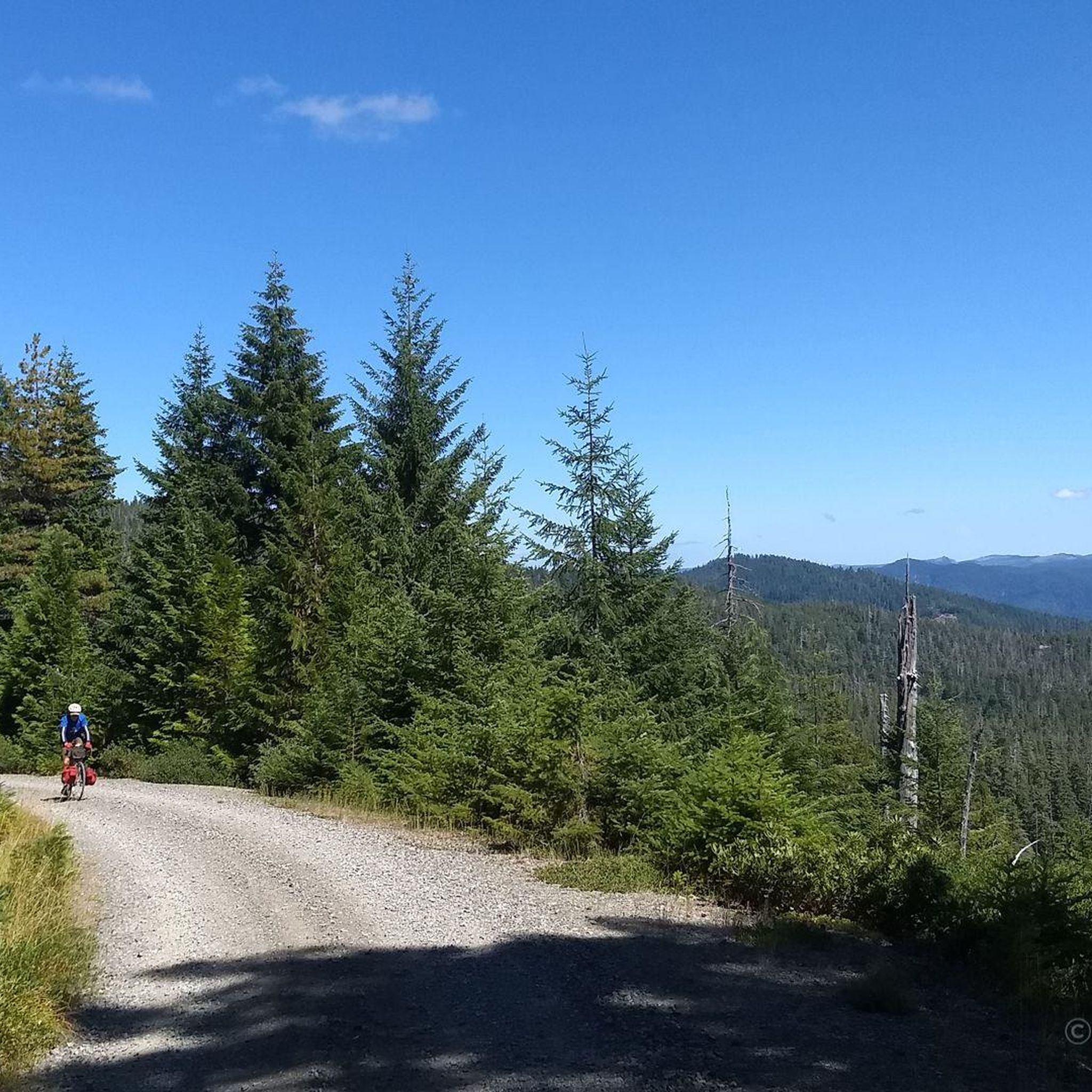
Cycle the difficult 43.2-mile Powers to Agness Saddle route in Rogue River-Siskiyou National Forest, gaining 4333 feet through ancient fores
5.0
(1)
22
riders
178km
07:56
1,740m
1,740m
Hard road ride. Very good fitness required. Mostly well-paved surfaces and easy to ride.

Sign up for free
5.0
(1)
10
riders
Moderate road ride. Good fitness required. Mostly well-paved surfaces and easy to ride.
6
riders
Moderate road ride. Good fitness required. Mostly well-paved surfaces and easy to ride.
3
riders
45.8km
02:33
780m
780m
Moderate road ride. Good fitness required. Mostly well-paved surfaces and easy to ride.
6
riders
Moderate road ride. Good fitness required. Mostly well-paved surfaces and easy to ride.
5
riders
Moderate road ride. Good fitness required. Mostly well-paved surfaces and easy to ride.
5.0
(1)
4
riders
28.7km
01:18
240m
240m
Easy road ride. Great for any fitness level. Mostly well-paved surfaces and easy to ride.
5.0
(1)
7
riders
35.5km
01:41
350m
350m
Moderate road ride. Good fitness required. Mostly well-paved surfaces and easy to ride.
Get access to more routes and recommendations from other explorers.
Sign up for free
Already have an account?
Our route recommendations are based on thousands of hikes, rides, and runs completed by other people on komoot.
Start today with a free account
Your next adventure awaits.
Login or Signup



Other adventures in Curry County

Tips from the Community

There is an American Indian legend about this place. Some say they hear the voice of a maiden in the wind, and when standing on the cliff overlooking the ocean, one can easily pick out the face on Face Rock. There is a well-maintained path to the beach and several rocky tidal areas to explore at low tide.
0
0

The Rogue River Bridge, also known as the Isaac Lee Patterson Bridge, was completed in 1932 and named after the Oregon governor who advocated for its construction. It offers a fantastic view where the Rogue River meets the Pacific Ocean. As you cross the bridge, you will likely see a variety of boats on the river, including fishing vessels, pleasure crafts, and the famous Rogue River jet boats. Keep an eye out for coastal birds such as seagulls and pelicans, and during migration seasons, you might even spot whales in the distance.
0
0
Otter Point Recreation Site is a secret paradise on the Oregon Coast. This unmarked gem requires insider knowledge to find, but a short, effortless walk from the parking area leads to the breathtaking Otter Point, a sandstone peninsula high above the Pacific. On a clear day, you can see nearly 100 miles of coastline, from Cape Blanco down to northern California. There are beaches on either side of the point, perfect for finding your own secluded spot to enjoy this beautiful place.
0
0
Battle Rock Wayside Park gets its name from the historic battle that occurred at Battle Rock, a basalt promontory located at the north end of the park. In 1851, the Qua-to-mah Native Americans fought against Captain William Tichenor’s men in this area. The park features picnic tables and a beautiful, secluded stretch of beach. Keep an eye out for pelicans diving into the water close to the nearby dock, which is a busy spot for commercial fishermen.
1
0
South Slough National Estuarine Research Reserve is a jewel of the Oregon coast. This 4,700-acre reserve offers beautiful views of the estuary and surrounding forests with a great visitor center that provides information on the area's ecosystem, history, and ongoing research. There are miles of hiking trails and opportunities to go kayaking or canoeing, or you can take a guided tour to learn more about the estuary's diverse flora and fauna. There is no entry fee, and the visitor center and restrooms are open Tuesday to Saturday from 10 a.m. to 4 p.m.
0
0

$8 for bike and hiker. very good, with showers.
0
0

Trip advice is inaccurate. The road from Powers is paved, but only to the saddle on the route shown. (My understanding is that it is paved you turn west at a Y just shy of the saddle, which joins the road into Gold Beach about half way there.) It is decent gravel down to the Agness Jct -- but with lots of rafting traffic in summer. A far more scenic, even bucolic, route is to take the eastern dirt road at the saddle which winds its way down. Just above the Rogue River Trailhead, the road becomes paved and a few miles later joins the main road down from the saddle. Very little traffic on this road.
0
0

Port Orford, a quaint artistic fishing town on the Southern Oregon coast, where mountains and forests meet the ocean. It holds the distinction of being the oldest platted town.
0
0
Frequently Asked Questions
How many road cycling routes are available in Curry County?
Curry County offers a selection of 9 road cycling routes, catering to various skill levels. These routes explore the region's diverse landscapes, from coastal stretches to inland forests.
What kind of difficulty levels can I expect for road cycling routes in Curry County?
You'll find a range of difficulties. There are 2 easy routes, 6 moderate routes, and 1 difficult route. This variety ensures options for both casual riders and those seeking a challenge, such as the demanding Powers to Agness Saddle route.
What natural attractions can I see along road cycling routes in Curry County?
Curry County's routes offer access to stunning natural features. You can cycle near the dramatic cliffs and hidden beaches of the Samuel H. Boardman State Scenic Corridor, or explore the rugged coastline around Cape Blanco State Park, Oregon's westernmost point. Other highlights include Agate Beach, known for collecting, and the unique sandstone formations at Otter Point.
Are there any loop road cycling trails in Curry County?
Yes, Curry County features several excellent loop routes. Popular options include the Elk Mountain loop from Brookings, the scenic Rogue River Bridge – Gold Beach loop from Cape Sebastian State Scenic Corridor, and the shorter Rogue River Bridge loop from Kimball Hill.
What is the best time of year for road cycling in Curry County?
Curry County's coastal climate generally offers good cycling conditions for much of the year. While specific weather can vary, the spring and fall often provide pleasant temperatures and fewer crowds. Summer is also popular, though coastal fog can occur. Winter cycling is possible, but be prepared for potential rain and cooler temperatures.
Are there family-friendly road cycling routes in Curry County?
While many routes involve elevation changes, the city of Brookings is known for its bike-friendly streets, which can be suitable for families. Additionally, sections of the Rumley Hill loop from Geisel Monument State Park offer an easier experience.
What do other road cyclists enjoy the most about road cycling in Curry County?
The road cycling routes in Curry County are highly rated by the komoot community, with an average score of 4.8 stars. Reviewers often praise the dramatic coastal scenery, the challenge of the inland climbs, and the diverse terrain that makes each ride unique.
Are there any unique or 'hidden gem' road cycling routes in Curry County?
For a unique experience, consider the section of Old Highway 101 north of Humbug Mountain State Park. This part of the road is closed to vehicles, offering cyclists magnificent ocean views in a tranquil setting. The Roadbike loop from Silver Butte also provides a less-trafficked option.
Where can I find parking for road cycling routes in Curry County?
Many state parks and scenic corridors along the coast, such as Samuel H. Boardman State Scenic Corridor and Cape Blanco State Park, offer designated parking areas that can serve as starting points for rides. Specific trailheads for routes like the Rumley Hill loop from Geisel Monument State Park also provide parking facilities.
Are there opportunities for long-distance road cycling in Curry County?
Yes, Curry County is home to the Wild Rivers Coast State Scenic Bikeway, which guides cyclists along more than sixty miles of natural beauty and historical sites. Routes like the Powers to Agness Saddle (43.2 miles) and the Rogue River Bridge – Gold Beach loop from Cape Sebastian State Scenic Corridor (46.8 miles) also offer significant distances for endurance riders.
Can I cycle along Highway 101 in Curry County?
Yes, cycling along Highway 101 is possible in Curry County, particularly near Port Orford, where cyclists can benefit from wide shoulders, enhancing safety and enjoyment. However, for a vehicle-free experience, consider the section of Old Highway 101 north of Humbug Mountain State Park.
Most popular attractions in Curry County

Get inspired with the komoot mobile app


Didn’t find what you were looking for?
Check out more Road cycling routes throughout Curry County below and find the perfect route in your destination.
Explore more
Browse the best Road cycling routes in other regions.
