The best MTB trails around Breisjøen
4.3
(100)
1,304
riders
104
rides
Mountain biking around Breisjøen offers a diverse range of routes within the natural landscape of Oslo, Norway. The area features a beautiful lake, surrounded by lush forests and varied terrain shaped by glacial activity. Riders can expect a mix of elevations and paths, providing both tranquil sections and more challenging climbs. This region provides accessible wilderness experiences close to urban centers, making it a popular destination for outdoor enthusiasts.
Best mountain bike trails around Breisjøen
- The most popular mountain bike…
Last updated: May 14, 2026
7
riders
10.8km
01:13
320m
320m
Moderate mountain bike ride. Good fitness required. Advanced riding skills necessary.
5.0
(1)
6
riders
10.0km
01:11
280m
280m
Moderate mountain bike ride. Great for any fitness level. Advanced riding skills necessary.

Sign up for free
3
riders
28.6km
02:19
480m
480m
Hard mountain bike ride. Good fitness required. Advanced riding skills necessary. Some portions of the route may require you to push your bike.
4.5
(2)
16
riders
8.57km
01:01
310m
310m
Moderate mountain bike ride. Good fitness required. Advanced riding skills necessary.
6
riders
18.3km
01:48
430m
430m
Moderate mountain bike ride. Good fitness required. Advanced riding skills necessary.
Get access to more routes and recommendations from other explorers.
Sign up for free
Already have an account?
Our route recommendations are based on thousands of hikes, rides, and runs completed by other people on komoot.
Start today with a free account
Your next adventure awaits.
Login or Signup
Tips from the Community

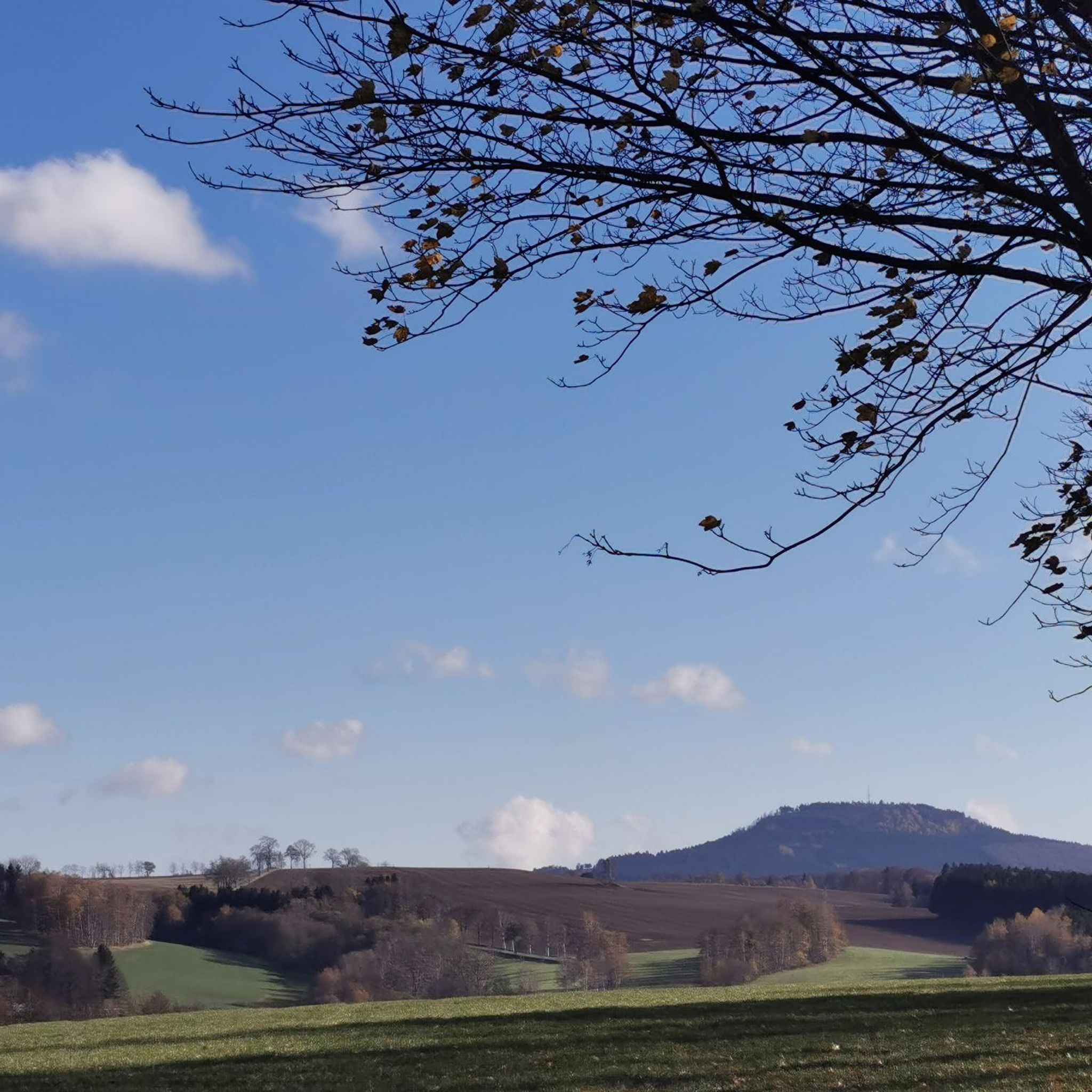
Røverkollen is a 404-meter-high hill located on the border between Oslo and Nittedal municipalities, featuring a prominent TV mast and a concrete lookout tower. The area is ecologically valuable due to its unique limestone pine forest and diverse vegetation, and it includes old burial cairns and historical significance as a site linked to ancient road robbers; part of it has been protected as Røverkollen Nature Reserve since 1993.
0
0
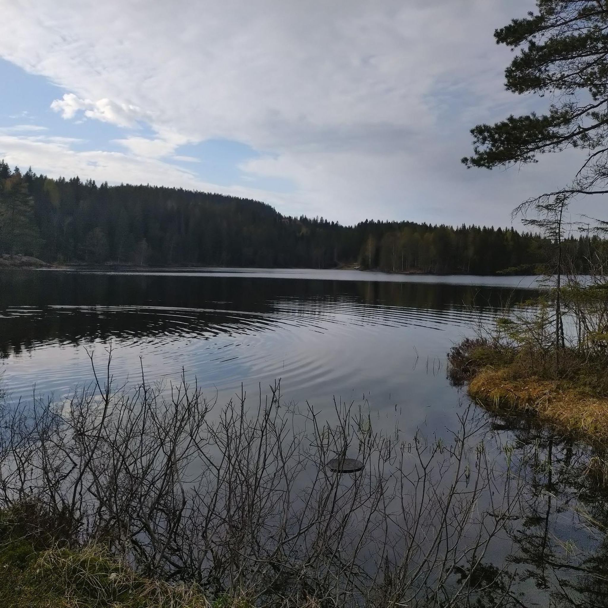
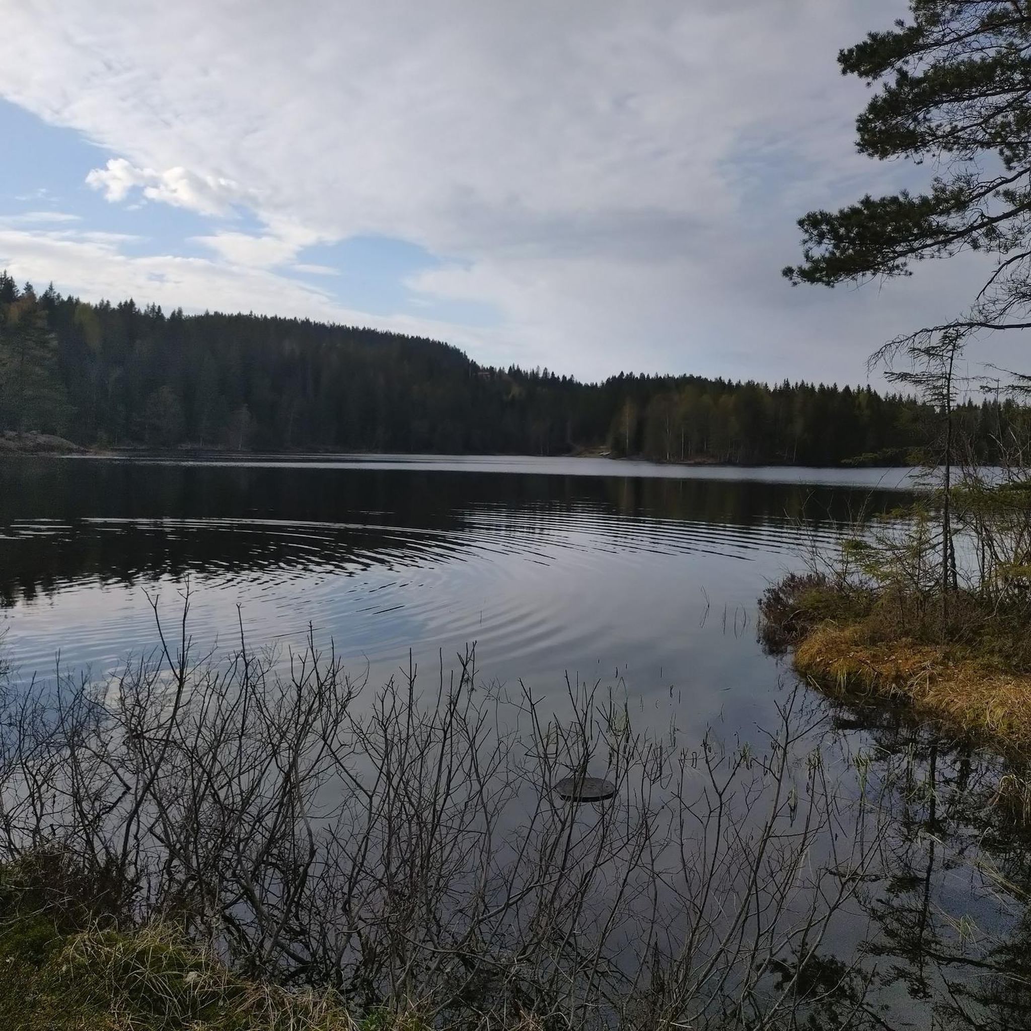
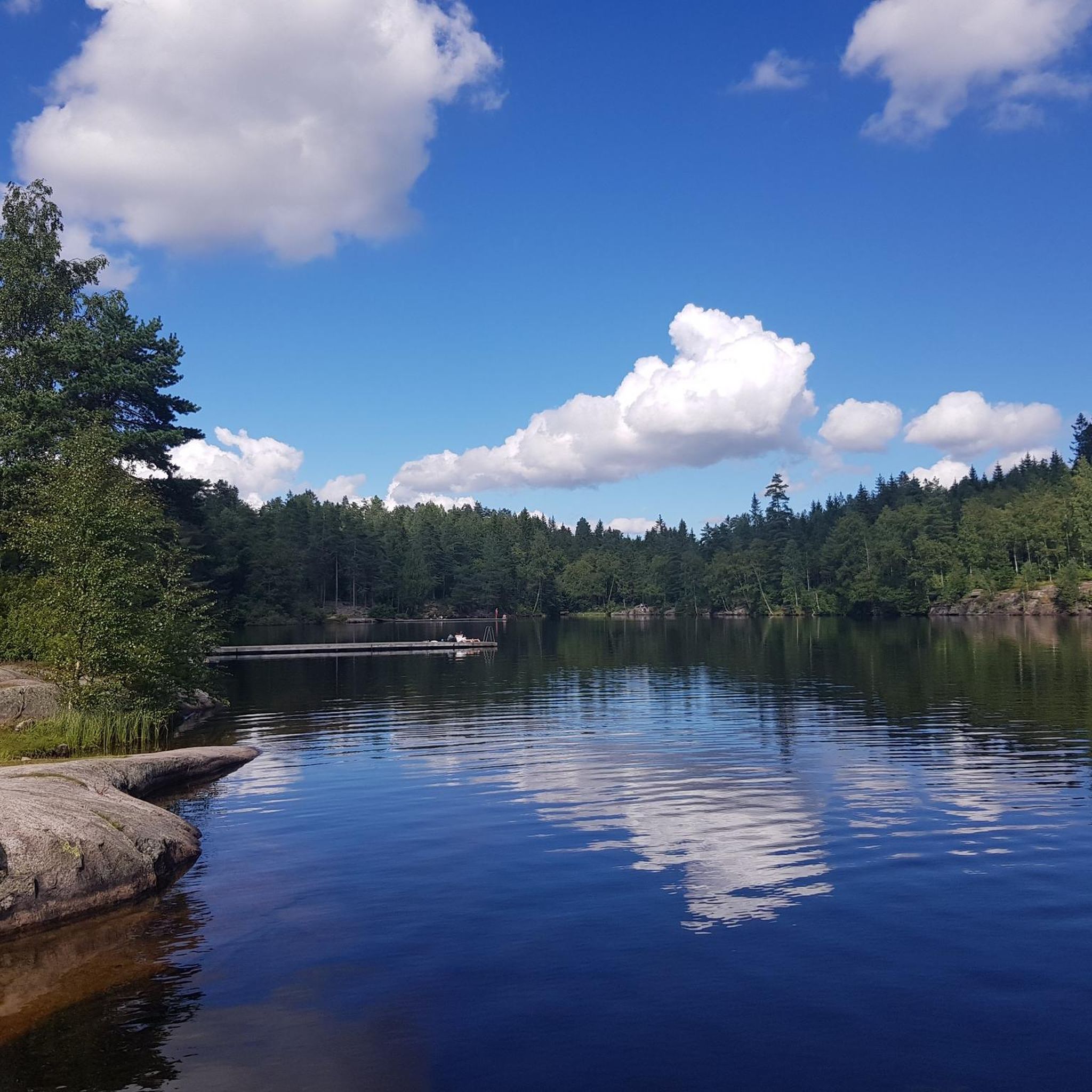
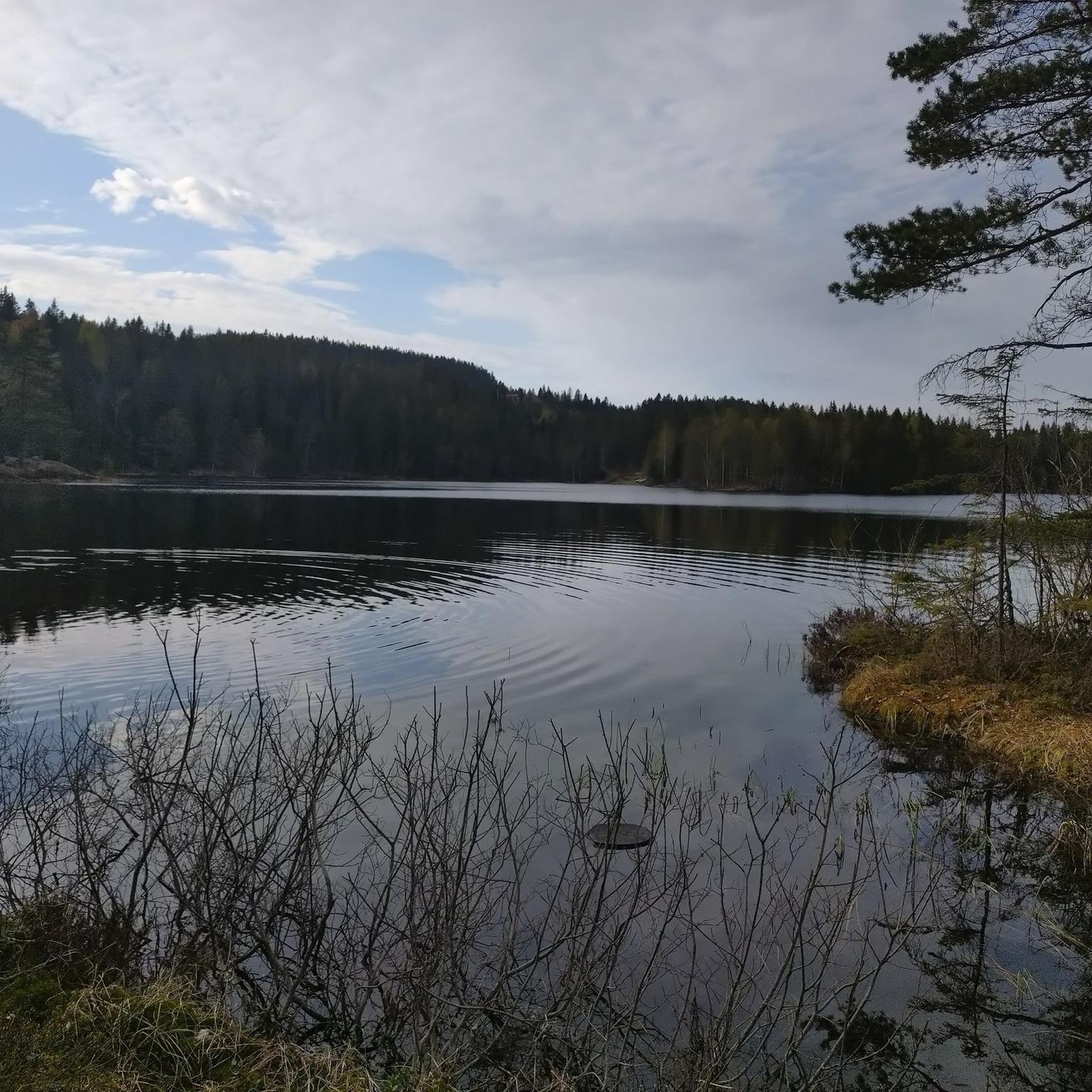
The lake is part of the Slattumsrøa Nature Reserve, with inflow from Lusevasan in the north and outflow to Steinbruvannet in the south. A lit trail runs along the eastern side, providing easy access from Skytta in the north and Steinbruvannet and Grorud in the south.
0
0

Nice picnic spot of Setertjen. Located in the middle of the forest it is a perfect location for a break.
0
0

Lillostua is a fantastic place to stop during a ski, kicking or cycling trip
0
0

Then you know what you took the drone with you for...
1
0

Commonly used for XC races at Langsetløkka for classes M/F6 to M/F10, with one or two rounds depending on age. Mix of gravel and singletrail.
0
0
Frequently Asked Questions
What kind of terrain can I expect when mountain biking around Breisjøen?
The terrain around Breisjøen is diverse, shaped by glacial activity. You'll find a mix of elevations and paths, ranging from tranquil sections through lush forests to more challenging climbs. The area features crystal-clear lakes and expansive forests, characteristic of Norway's rugged natural landscape.
How many mountain bike trails are available in the Breisjøen area?
There are over 100 mountain bike trails around Breisjøen listed on komoot, offering a wide variety of options for different skill levels and preferences.
Are there mountain bike trails suitable for beginners or families in Breisjøen?
Yes, Breisjøen offers several easier paths. There are 7 easy routes available, providing accessible options for those new to mountain biking or looking for a more relaxed ride with family. While specific 'family-friendly' routes aren't explicitly tagged, easy routes are generally suitable.
What are some options for more experienced mountain bikers looking for a challenge?
For experienced riders, Breisjøen has 41 difficult mountain bike routes. One challenging option is the Traversen Trail – Green Course at Langsetløkka loop from Grorud, which is 17.8 miles (28.6 km) long and leads through diverse forest landscapes with significant elevation changes.
What do other mountain bikers say about the trails in Breisjøen?
The mountain bike trails around Breisjøen are highly rated by the komoot community, with an average score of 4.3 stars from over 90 reviews. Many riders appreciate the varied terrain, the beautiful lake and forest scenery, and the accessibility to wilderness close to urban centers.
Are there any circular mountain bike routes in Breisjøen?
Yes, many routes in Breisjøen are designed as loops. For example, the Lillomarka Arena – Romstjern Lake loop from Grorud is a moderate 6.7-mile (10.8 km) circular trail exploring the area around Romstjern Lake.
What are the typical lengths of mountain bike trails in this region?
Trail lengths vary significantly. You can find shorter routes like the Forest Path in Nordmarka – Forest Trail in Nordmarka loop from Bjerke at 8.5 km, up to longer, more demanding trails such as the Traversen Trail – Green Course at Langsetløkka loop from Grorud which spans 28.6 km.
Is Breisjøen suitable for mountain biking with dogs?
The natural environment around Breisjøen, with its forests and lakes, is generally welcoming for outdoor activities with dogs. However, it's always recommended to keep dogs on a leash, especially in protected areas or during wildlife breeding seasons, and to check local regulations for specific trail rules.
What is the best time of year to go mountain biking in Breisjøen?
The best time for mountain biking in Breisjøen is typically during the warmer months, from late spring to early autumn (May to October), when trails are clear of snow and ice. During winter, many trails may be covered in snow and more suitable for cross-country skiing or fat biking, depending on conditions.
Are there any specific access points or starting locations for mountain bike trails around Breisjøen?
Many routes start from accessible points like Grorud or Bjerke. For instance, the Romstjern Lake – Krutthuset at Steinbruvann loop begins from Grorud, offering convenient access to the trail network.
What natural features can I expect to see while mountain biking in Breisjøen?
You'll encounter beautiful natural features such as the crystal-clear Breisjøen lake itself, surrounded by lush, expansive forests. The varied terrain, shaped by ancient glaciers, also offers a dynamic landscape with different elevations and scenic views.
Are there any moderate mountain bike trails that connect different scenic spots?
Yes, a popular moderate route is the Romstjern Lake – Krutthuset at Steinbruvann loop from Grorud. This 6.2-mile (10.0 km) path connects two scenic lakes, Romstjern and Steinbruvann, offering varied forest scenery throughout the ride.
Most popular routes around Breisjøen

Get inspired with the komoot mobile app


Explore more
Browse the best MTB trails in other regions.
