The best MTB trails around Langvann
4.4
(59)
864
riders
65
rides
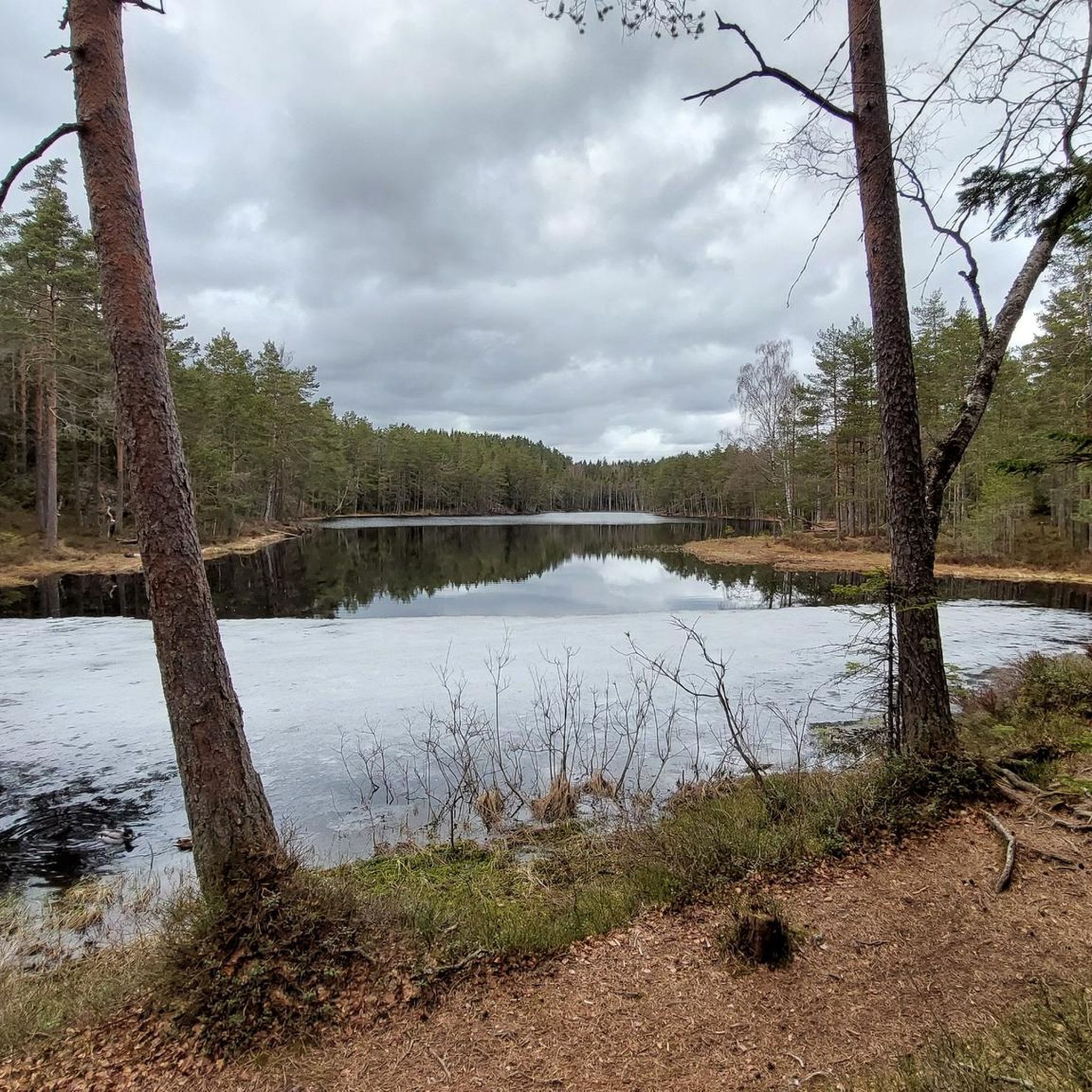
Mountain biking around Langvann offers diverse terrain, featuring a mix of lush forests, open rocky areas, and serene lakes. The region includes varied ecosystems with trails traversing dense woodlands and more barren sections. Riders can expect significant elevation gains across many routes. This landscape provides varied riding conditions suitable for different skill levels.
Best mountain bike trails around Langvann
- The most popular mountain bike trail is View of the Forest in Østmarka loop from Østensjø, a 4.6 miles (7.3…
Last updated: October 13, 2026
3.0
(2)
78
riders
26.8km
02:33
460m
460m
Moderate mountain bike ride. Good fitness required. Advanced riding skills necessary.
5.0
(1)
22
riders
7.49km
00:40
90m
90m
Moderate mountain bike ride. Great for any fitness level. Advanced riding skills necessary.

4.3
(3)
37
riders
19.1km
01:57
370m
370m
Hard mountain bike ride. Good fitness required. Advanced riding skills necessary. Some portions of the route may require you to push your bike.
4.3
(16)
105
riders
16.5km
01:43
280m
280m
Moderate mountain bike ride. Great for any fitness level. Advanced riding skills necessary.
4.5
(4)
69
riders
72.8km
05:30
990m
990m
Hard mountain bike ride. Very good fitness required. Advanced riding skills necessary.
Get access to more routes and recommendations from other explorers.
Already have an account?
Our route recommendations are based on thousands of hikes, rides, and runs completed by other people on komoot.
Start today with a free account
Your next adventure awaits.
Tips from the Community

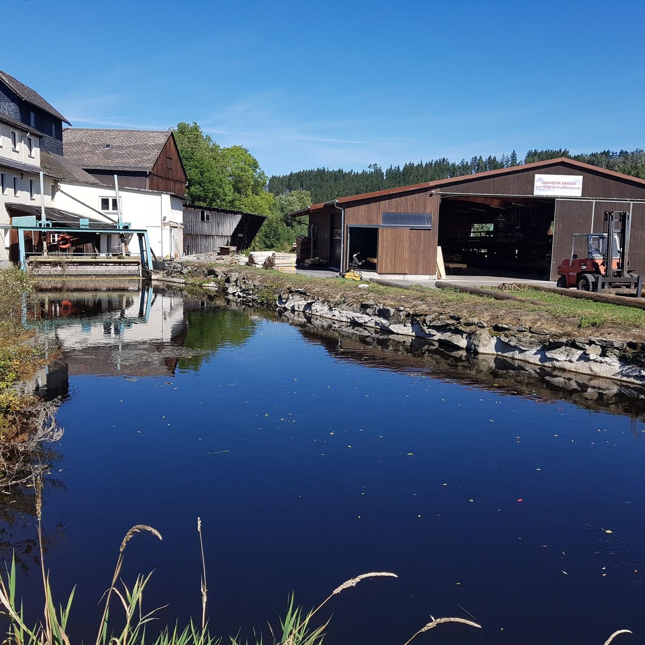
Rustadsaga has welcomed walkers and skiers for over a century. Originally built in 1916 as the sawmaster's house under the name Saghøy, it has been serving visitors to Østmarka since the early 1920s and remains one of the area's most popular trail cafés.
0
0

Sandbakken Sportsstue is basically my local. The place is absolutely lovely. Prices are decent, the food (especially cakes and soups) is phenomenal, and the folks there are great ☺️ Gunn and family made this place fantastic. Oh! Don't forget to try their homemade bread! Sandbakken is also a great spot to start or finish many surrounding trails.
0
0

The area surrounding the lodge features a rugged coastal landscape where the forest meets the water's edge. This location serves as a primary hub for those exploring the outdoor opportunities of the Sørreisa region, providing a functional base for both land and water-based activities.
0
0


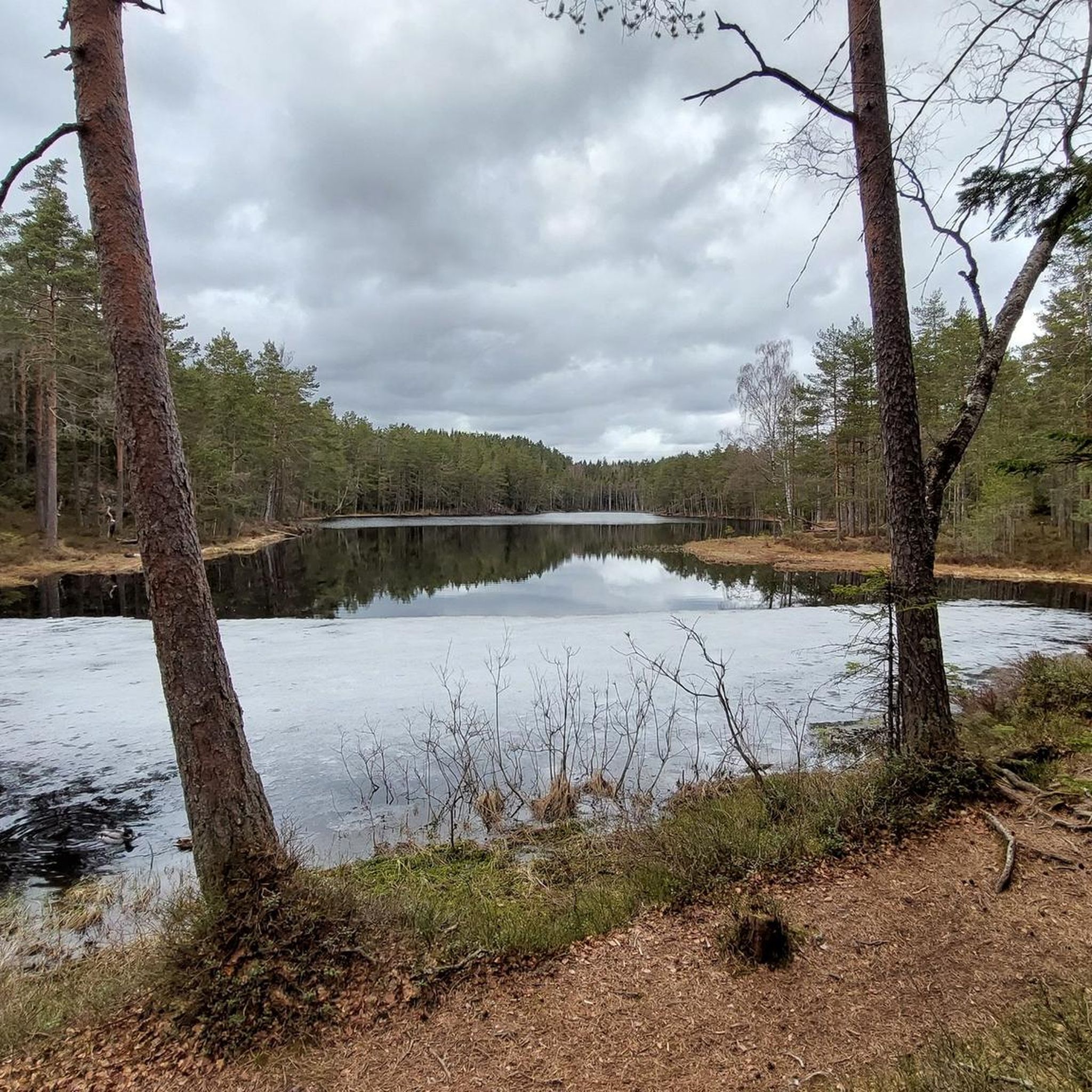
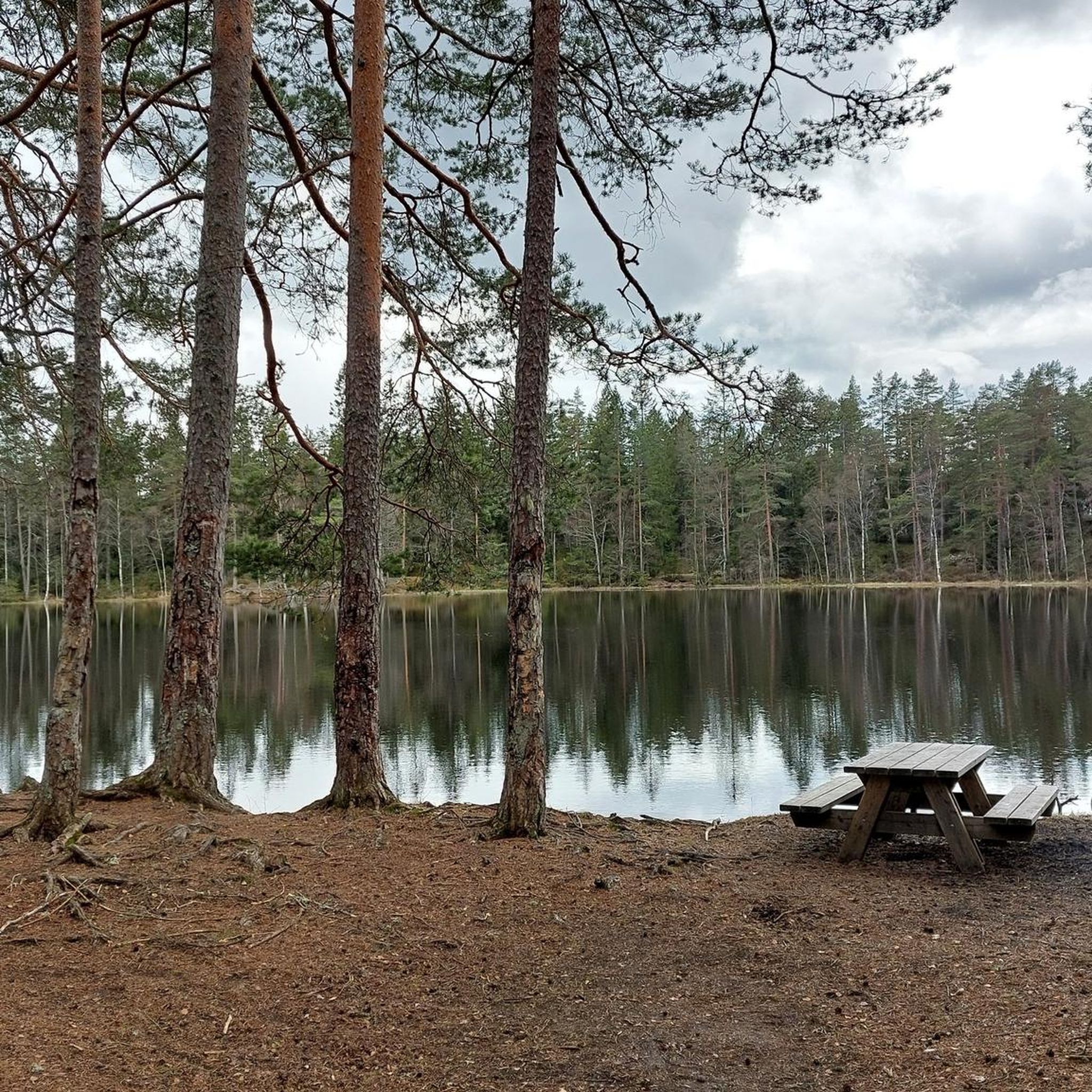
Cosy cabin café tucked into the forest, a perfect stop for a coffee or waffle after a walk around the lake.
0
0

Nestled in the forest above Nøklevann, Sarabråten was once the summer estate of Christiania’s 19th-century elite, hosted by timber baron Thorvald Meyer. Today, only a few ruins remain, but the place still carries a quiet grandeur, perfect for a reflective pause in the woods.
1
0

Nice as a stage stop. A nice little stone staircase down into the water, which is very decorative. Here there is also runoff from the Ulsrudvannet in a stream under the road. If you are observant enough, you will see that there are a lot of fugitive boxes hung up in the trees around here.
0
0
Frequently Asked Questions
How many mountain bike trails are available in Langvann?
Langvann offers a diverse network of nearly 70 mountain bike trails. These routes cater to various skill levels, with 11 easy, 43 moderate, and 15 difficult options available.
Are there family-friendly mountain bike trails in Langvann?
Yes, Langvann has several family-friendly options. The region features trails with gentle ascents and encircling routes around serene lakes, suitable for a more relaxed ride. Look for trails classified as 'easy' for the most family-friendly experience.
Can I bring my dog on the mountain bike trails in Langvann?
Many trails in Langvann are suitable for dogs, especially those winding through lush forests and open areas. However, it's always recommended to check local regulations or specific trail descriptions for any restrictions, and ensure your dog is well-behaved and on a leash where required.
Are there circular mountain bike routes in Langvann?
Yes, many of the mountain bike trails in Langvann are designed as loops, offering a convenient way to explore the area without retracing your steps. For example, the View of the Forest in Østmarka loop from Østensjø is a popular moderate circular route.
What kind of natural features and landmarks can I expect to see on the trails?
Mountain bike trails in Langvann showcase diverse scenery, including tranquil lakes, dense forests, and open rocky areas. You might encounter historical features like old ruins or the Ulfsbakktjonn tunnel, a historical water supply line. Some areas also offer views over majestic peaks and opportunities for wildlife observation.
What is the best time of year to go mountain biking in Langvann?
The best time for mountain biking in Langvann is typically from spring through autumn when the trails are clear of snow and ice. During certain periods, especially after heavy rain, some trails might have wet bogs, so checking current conditions is advisable.
Are there any cafes or places to get refreshments along the trails?
Yes, some routes in the Langvann area pass by cafes or rest stops. For instance, the Mariholtet waffle café – Lakeside Rest Area at Østmarka loop from Bogerud is a moderate trail that includes a stop at a waffle café, perfect for a break.
What do other mountain bikers say about the trails in Langvann?
The mountain bike trails in Langvann are highly regarded by the komoot community, holding an average rating of 4.6 stars from over 40 reviews. Riders often praise the diverse terrain, scenic landscapes, and the variety of routes available for all skill levels.
Are there any challenging mountain bike trails for experienced riders?
Absolutely. For experienced riders seeking a challenge, Langvann offers 15 difficult trails with substantial elevation gains. A notable option is the Østmarka Stipatruljen trail, an 11.9-mile route winding through varied forest terrain with significant climbs.
Where can I find parking for mountain biking in Langvann?
Parking availability varies depending on the specific trailhead you choose. Many popular starting points for trails in the Langvann region offer designated parking areas. It's advisable to check the details of your chosen route on komoot for specific parking information.
Are there any longer mountain bike routes for endurance rides?
Yes, Langvann features longer routes for those looking for extended rides. The Skjærsjøen Lake – Kikutstua loop from Bøler is a challenging 45.2-mile (72.8 km) route with nearly 1000 meters of elevation gain, offering a substantial endurance test.
What are the typical trail conditions like in Langvann?
Trail conditions in Langvann are varied, reflecting the region's diverse ecosystems. You'll encounter a mix of forest paths, open rocky sections, and lakeside trails. While generally well-maintained, some areas, particularly in dense woodlands, can be wet or muddy, especially after rain.
Most popular routes around Langvann

Get inspired with the komoot mobile app


Explore more
Browse the best MTB trails in other regions.
