The best road cycling routes in Tulare County
96
riders
19
rides
Road cycling in Tulare County offers diverse terrain, from the expansive mountains and deep canyons of Sequoia & Kings Canyon National Parks to twisting foothills and river valleys. The region features significant elevation changes, with routes traversing well-paved surfaces through natural settings. Cyclists can explore areas like the Kaweah Oaks Preserve, which protects valley oak riparian forests, and dedicated bikeways within more urbanized areas. This varied landscape provides a range of road cycling experiences.
Best road cycling routes in Tulare…
Last updated: September 27, 2026
12
riders
40.5km
02:23
820m
820m
Embark on the Grant Grove Visitor Center to Hume Lake loop, a moderate road cycling adventure through Kings Canyon National Park. This route spans 25.1 miles (40.5 km) and challenges…
4
riders
40.3km
02:44
1,260m
1,260m
Road cycling the Hospital Rock to Tunnel Log via Generals Highway is a difficult 25.0-mile route with 4127 feet of gain through Sequoia Nati

4
riders
117km
05:02
890m
890m
This difficult 72.8 miles (117.1 km) road cycling loop from Exeter to Springville offers challenging climbs and scenic views in Tulare Count
1
riders
23.7km
01:17
430m
430m
Start your road cycling adventure from Little Baldy Saddle, where you'll immediately encounter expansive panoramic views stretching across the Central Valley to the impressive Silliman Crest, Kings-Kaweah Divide, and Great…
2
riders
66.0km
03:22
1,010m
1,010m
This difficult 41.0 miles (66.0 km) road cycling route from Lake Kaweah to Hospital Rock gains 3315 feet (1010 metres) in Sequoia National P
81.4km
03:42
350m
350m
Cycle the moderate 50.6-mile St. John's River Trail to Lake Kaweah, gaining 1162 feet through scenic Tulare County.
18.4km
01:00
330m
330m
Embark on a moderate road cycling adventure from Big Stump to Kings Canyon Overlook via General's Highway. This 11.4-mile (18.4 km) route takes you through the majestic landscapes of Sequoia…
29.7km
01:36
560m
560m
Prepare for a moderate road cycling adventure on the Generals Highway, stretching 18.4 miles (29.7 km) with a significant 1847 feet (563 metres) of elevation gain. This route offers a…
91.0km
05:24
2,320m
2,320m
Road cycling the Three Rivers to Mineral King Valley via Mineral Road is a challenging 56.5-mile climb with stunning views in Sequoia Nation
11
riders
85.1km
04:10
1,210m
1,210m
Hard road ride. Very good fitness required. Mostly well-paved surfaces and easy to ride.
Get access to more routes and recommendations from other explorers.
Already have an account?
Our route recommendations are based on thousands of hikes, rides, and runs completed by other people on komoot.
Start today with a free account
Your next adventure awaits.
Popular around Tulare County
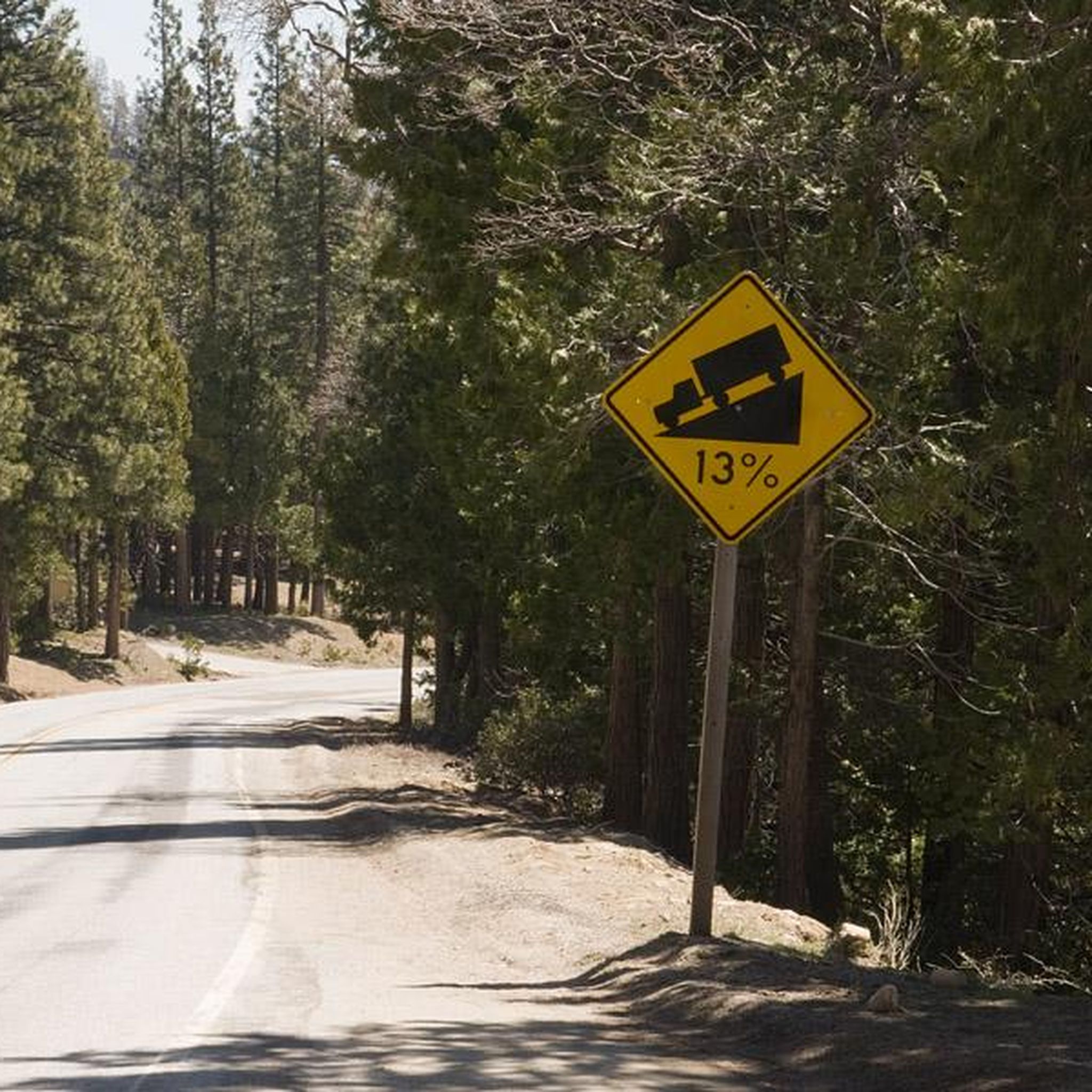
Road Cycling Routes in Sequoia National Forest
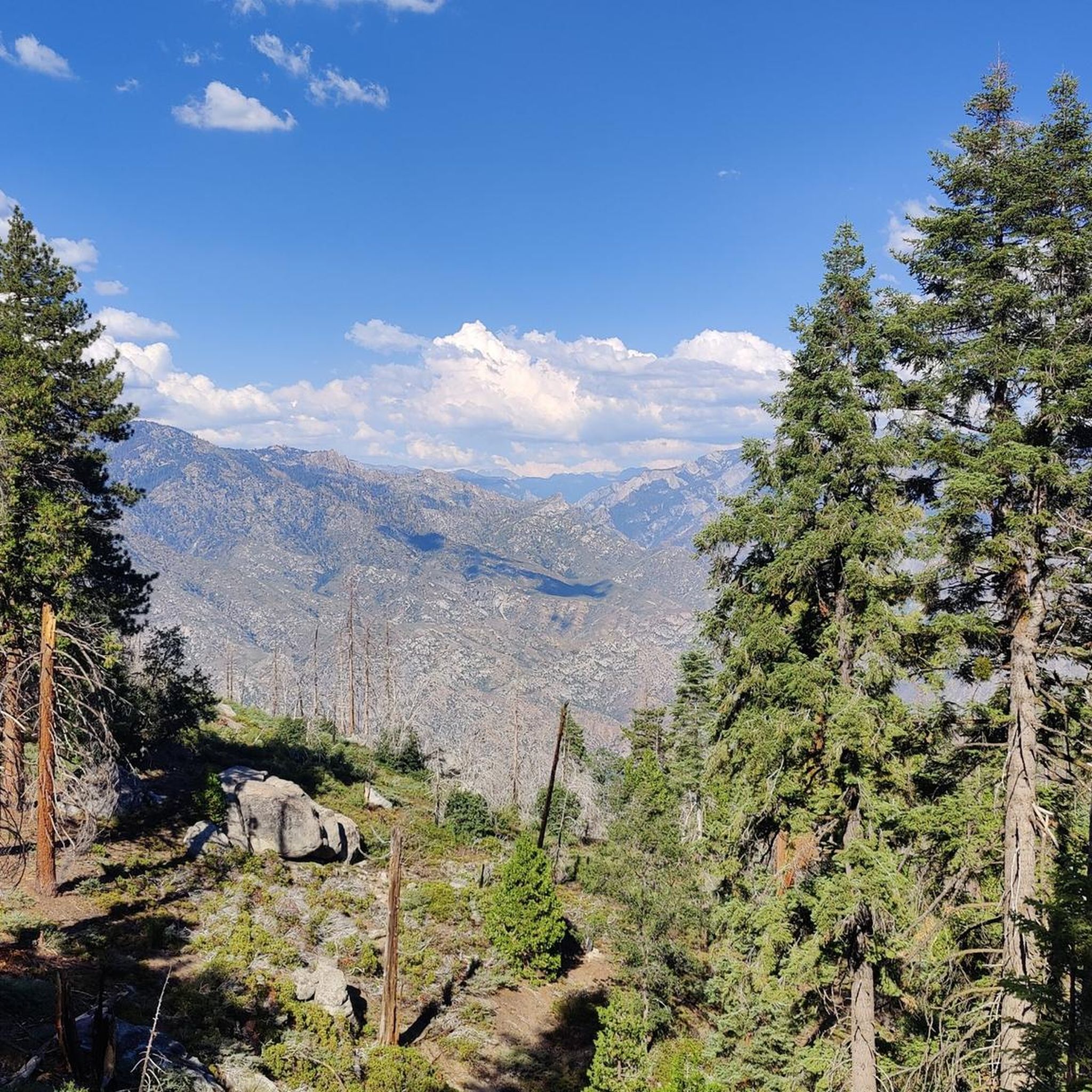
Road Cycling Routes in Giant Sequoia National Monument
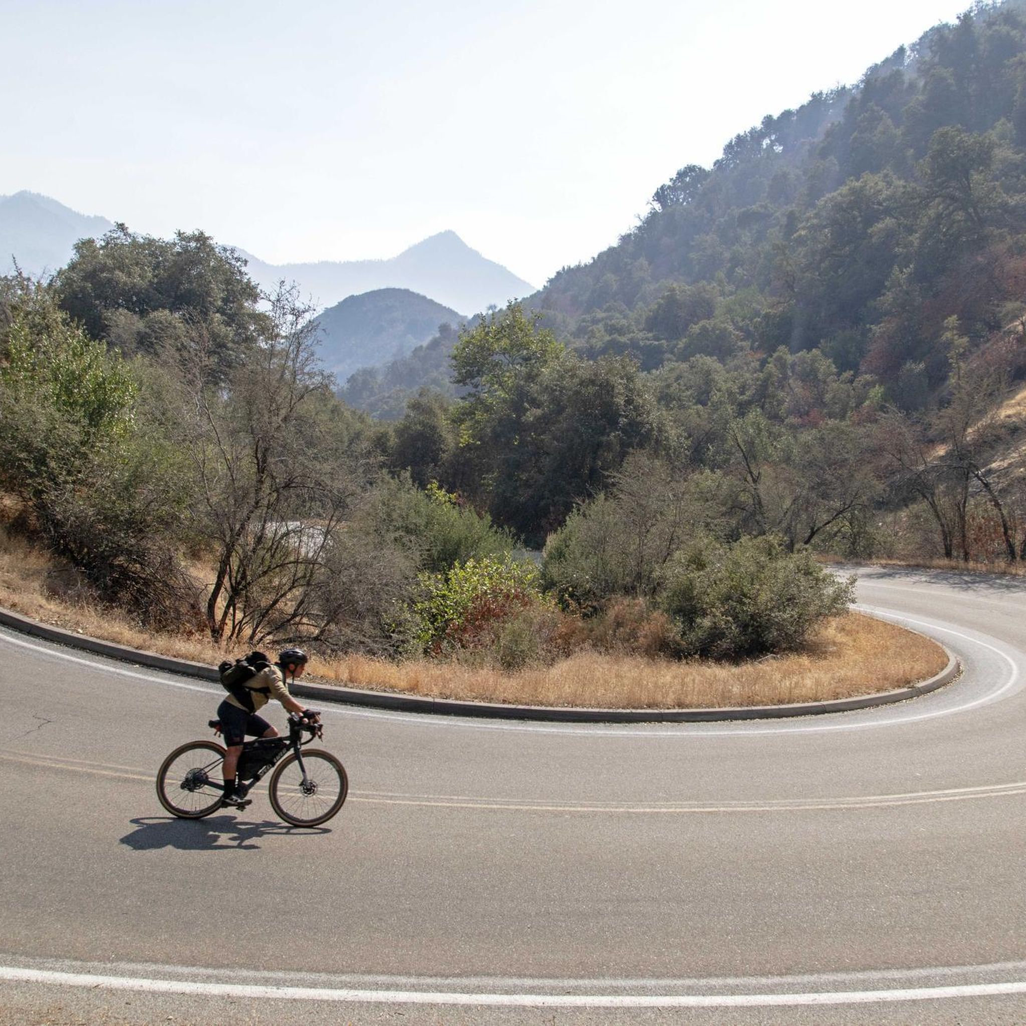
Road Cycling Routes in Sequoia National Park
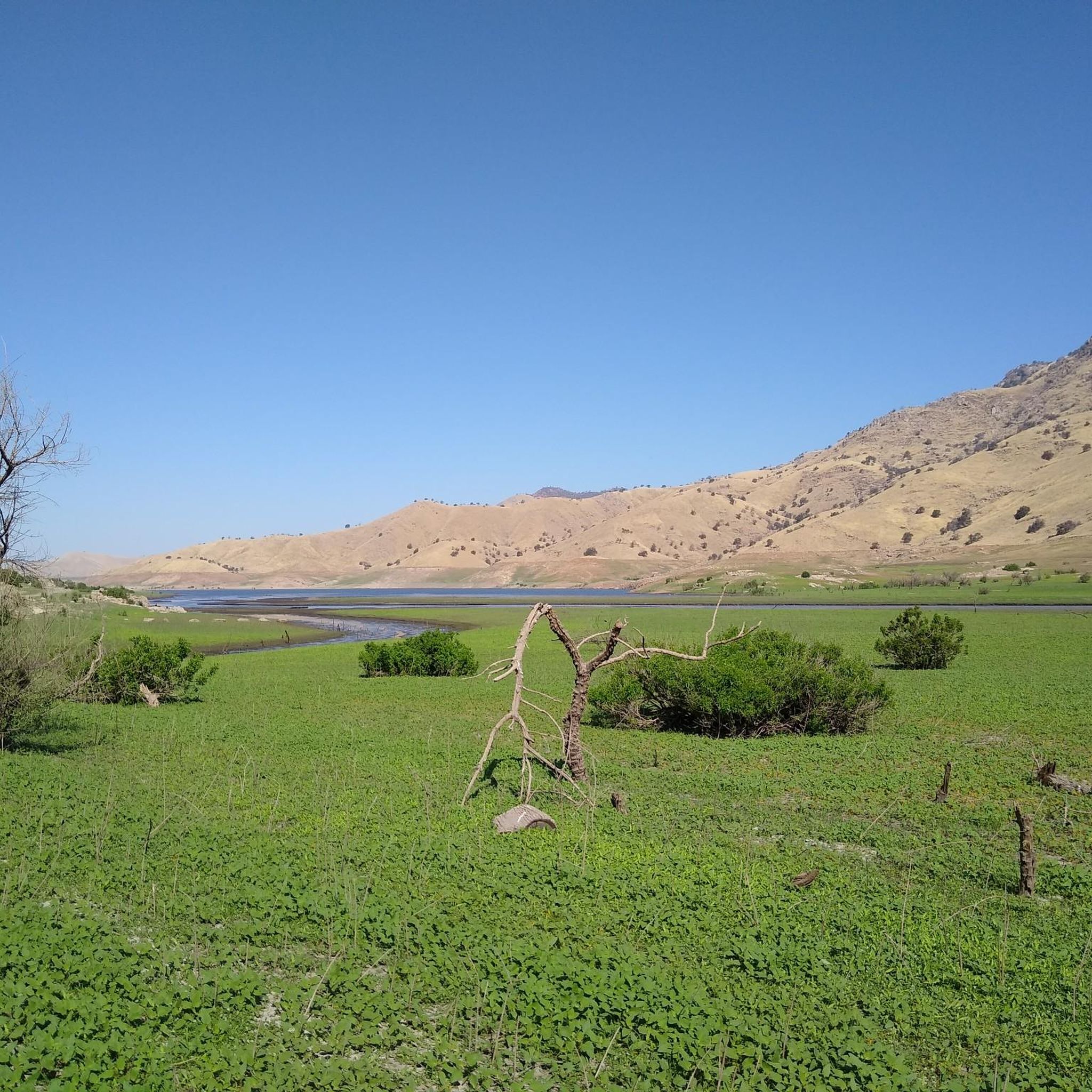
Road Cycling Routes around Three Rivers

Road Cycling Routes around Farmersville

Road Cycling Routes around Patterson Tract
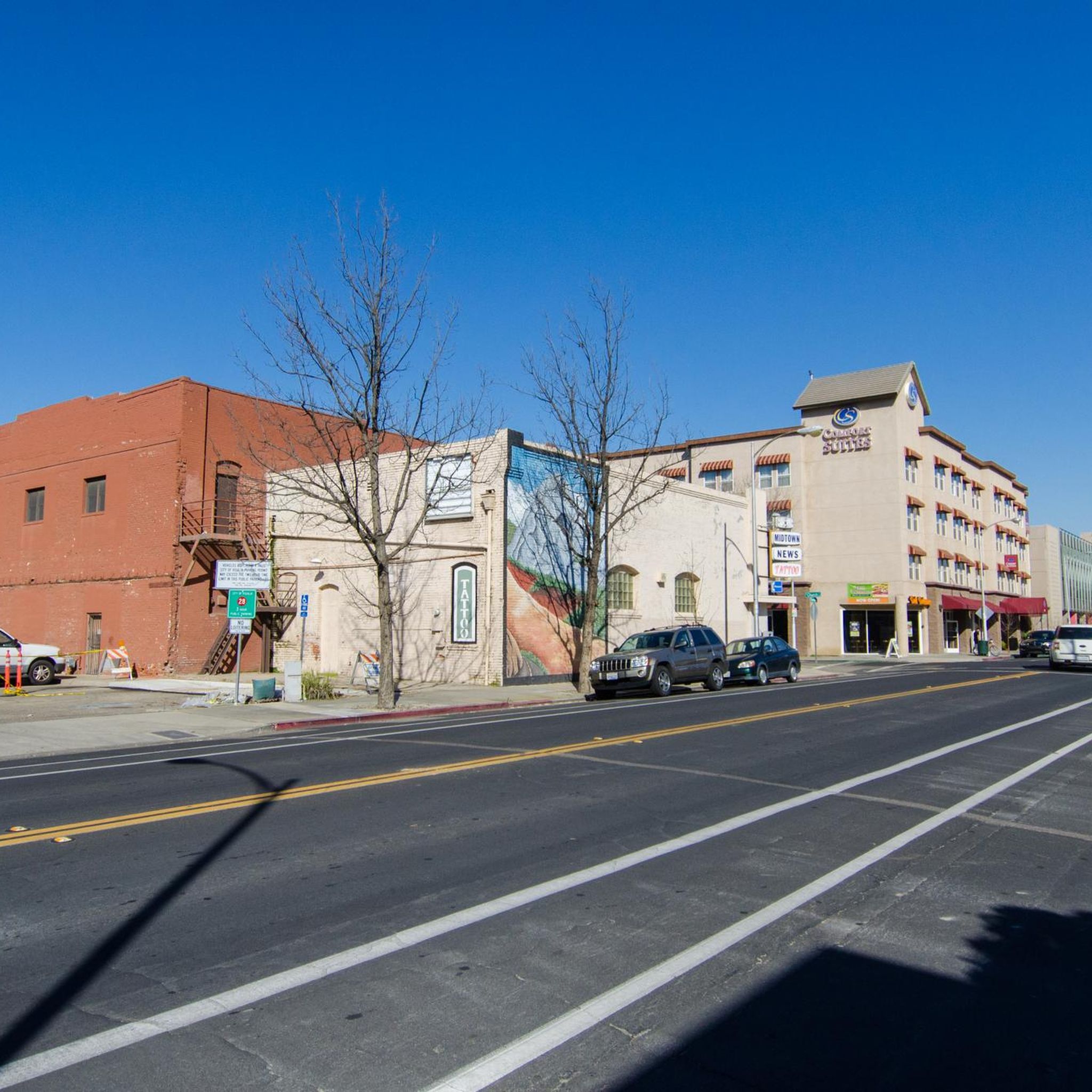
Road Cycling Routes around Visalia

Road Cycling Routes around Goshen

John Muir Trail – Along the legendary trail through the magical Sierra Nevada

Pacific Crest Trail from Mexico to Canada – 4,200 kilometres of wilderness
Other adventures in Tulare County


Tips from the Community

Excellent Warmhowers experience in Springville. Rode early to avoid traffic on a narrow road.
0
0

In the NP there are some fallen trees with tunnels. This one is so big that a car can drive through. To make sure that this works, there is a specially constructed bypass. A great photo opportunity...
0
0

Sierra Drive offers a beautiful and picturesque road biking adventure, perfect for cyclists seeking scenic routes. Along the way, there are several ideal spots to stop and take a water break, allowing you to soak in the stunning views and serene environment.
0
0
General's Highway connects State Route 180 and State Route 198, traversing Sequoia National Park, Sequoia National Forest, Giant Sequoia National Monument, and Kings Canyon National Park in California's Sierra Nevada. Named after the renowned General Sherman and General Grant trees, this scenic route offers breathtaking views of majestic giant sequoias and diverse landscapes, making it a memorable journey through some of the region's most iconic natural wonders.
0
0
Sequoia National Park's Tunnel Log, a fallen giant sequoia on Crescent Meadow Road fell naturally in 1937 and, the following summer, a tunnel was cut through it as a visitor attraction. Originally standing at 275 feet tall and 21 feet in diameter, the tree's tunnel remains in use today, measuring 17 feet wide and 8 feet high. There's also a bypass for taller vehicles.
0
0
At Hospital Rock, you'll find sacred petroglyphs that hold deep significance for local Native American communities. Created hundreds of years ago, these pictographs are a vital part of their traditional belief systems, akin to places of worship. The National Park Service, in collaboration with local tribes, emphasizes the importance of respecting this sacred site.
0
0
Tunnel Rock in Sequoia is a fascinating granite boulder that once created a tunnel over Generals Highway until the road was rerouted. Accessible parking and a paved path allow for easy access to the old roadway beneath Tunnel Rock. However, be cautious of poison oak in the area.
0
0
At the Kaweah River bridge, the starting point of the Tokopah Falls Trail, you can catch a glimpse of small waterfalls formed by the Kaweah River. While biking to the falls isn't possible, this bridge offers a scenic preview. The river’s name, derived from the Yokutsan word for the Kaweah tribelet, traditionally means "crow cry".
0
0
Frequently Asked Questions
How many road cycling routes are available in Tulare County?
Tulare County offers a selection of 16 road cycling routes. These routes cater to various fitness levels, with 2 easy, 9 moderate, and 5 difficult options, ensuring a diverse range of experiences from gentle rides to challenging climbs.
What kind of terrain can I expect on road cycling routes in Tulare County?
Road cycling in Tulare County features incredibly diverse terrain. You'll encounter the majestic mountains and deep canyons of Sequoia & Kings Canyon National Parks, twisting foothills, and scenic river and lake areas. Routes often involve significant elevation changes, from steady climbs to more demanding high-altitude rides, predominantly on well-paved surfaces.
Are there any family-friendly road cycling routes in Tulare County?
While many routes in Tulare County involve significant elevation and distance, some of the easier sections or dedicated bikeways within more urbanized areas, like parts of the Tulare Santa Fe Trail Route, might be suitable for families. For specific family-friendly options, it's best to check the route details for distance and elevation to match your family's comfort level.
What are some of the most scenic road cycling routes in the National Parks?
Within the National Parks, routes like the Grant Grove Visitor Center to Hume Lake loop offer significant elevation through stunning natural scenery. Another option is Kings Canyon Overlook to Lost Grove via Generals Highway, which provides moderate climbs and iconic national park views.
Are there any long-distance road cycling routes in the region?
Yes, Tulare County offers several long-distance routes. For instance, the Exeter to Springville loop covers 72.8 miles (117.1 km) through varied foothill terrain. Another substantial ride is the St. John's River Trail to Lake Kaweah, spanning 50.6 miles (81.4 km) through picturesque river and lake areas.
What notable landmarks or attractions can I see along road cycling routes in Tulare County?
Many routes traverse areas rich in natural beauty and landmarks. Within Sequoia & Kings Canyon National Parks, you can find attractions like the General Sherman Tree, the Giant Forest, and the View from Moro Rock. The region also features the Kaweah Oaks Preserve, protecting unique valley oak riparian forests. Routes like Hospital Rock to Tunnel Log via Generals Highway pass by significant park features.
Are there challenging road cycling routes for experienced riders?
Absolutely. Tulare County is home to several difficult routes designed for experienced cyclists. The Three Rivers to Mineral King Valley via Mineral Road route, for example, involves a substantial 2316 meters of elevation gain over 91 km. Other challenging options include the Lake Kaweah to Hospital Rock via Sierra Drive and the Steve Barton Point – Sentinel Butte loop from Woodlake, both offering significant climbs.
What is the best time of year for road cycling in Tulare County?
Tulare County offers good cycling conditions for much of the year, but the best time depends on the specific area. Lower elevations and valley routes are pleasant in spring and fall. For higher-altitude rides within the National Parks, summer and early fall are ideal when roads are clear of snow and temperatures are milder. Always check local weather forecasts, especially for mountain passes.
Are there any circular road cycling routes available?
Yes, many of the road cycling routes in Tulare County are designed as loops, allowing you to start and end at the same point. Examples include the popular Grant Grove Visitor Center to Hume Lake loop and the challenging Exeter to Springville loop. These circular routes provide a convenient way to explore the diverse landscapes.
What do other road cyclists enjoy most about road cycling in Tulare County?
The road cycling routes in Tulare County are highly rated by the komoot community, with an average score of 4.6 stars. Cyclists frequently praise the stunning natural settings, particularly the breathtaking landscapes of Sequoia & Kings Canyon National Parks, and the variety of terrain that caters to different skill levels, from scenic river valleys to challenging mountain climbs.
Are there specific permit requirements for cycling in Sequoia & Kings Canyon National Parks?
While general entry to Sequoia & Kings Canyon National Parks requires a fee, specific cycling permits are not typically needed for riding on paved roads within the parks. However, it's always advisable to check the official National Park Service website for the most current regulations, road closures, and any specific requirements, especially during peak seasons or for special events. You can find more information at nps.gov/seki.
Where can I find parking for road cycling routes in Tulare County?
Parking availability varies by route. For routes within Sequoia & Kings Canyon National Parks, designated parking areas are available at visitor centers and trailheads. For routes starting in towns or near specific attractions, local parking lots or street parking may be an option. It's recommended to check the starting point of your chosen route for specific parking information.
Most popular routes in Tulare County
Most popular attractions in Tulare County

Get inspired with the komoot mobile app


Didn’t find what you were looking for?
Check out more Road cycling routes throughout Tulare County below and find the perfect route in your destination.
Explore more
Browse the best Road cycling routes in other regions.
