The best road cycling routes around Halssjøen
4.1
(13)
1,344
riders
33
rides
Road cycling routes around Halssjøen are situated within the Romerike Landscape Protection Area, offering varied terrain. The region is characterized by a mix of forests and routes along rivers, providing diverse scenery for cyclists. Roads are often well-paved and less trafficked, contributing to a tranquil cycling experience. Elevation gains vary, with some routes featuring significant climbs and others remaining relatively flat.
Best road cycling routes around Halssjøen
- The most popular road cycling route is Lovers' Bridge – Lillestrøm Bicycle Highway…
Last updated: May 11, 2026
56
riders
87.4km
03:51
670m
670m
Moderate road ride. Good fitness required. Mostly well-paved surfaces and easy to ride.
5.0
(1)
41
riders
95.6km
03:53
480m
480m
Moderate road ride. Good fitness required. Mostly well-paved surfaces and easy to ride.

Sign up for free
20
riders
53.0km
02:18
400m
400m
Moderate road ride. Good fitness required. Mostly well-paved surfaces and easy to ride.
8
riders
26.4km
01:11
230m
230m
Easy road ride. Great for any fitness level. Mostly well-paved surfaces and easy to ride.
4
riders
25.2km
01:14
300m
300m
Easy road ride. Great for any fitness level. Mostly well-paved surfaces and easy to ride.
Get access to more routes and recommendations from other explorers.
Sign up for free
Already have an account?
Our route recommendations are based on thousands of hikes, rides, and runs completed by other people on komoot.
Start today with a free account
Your next adventure awaits.
Login or Signup

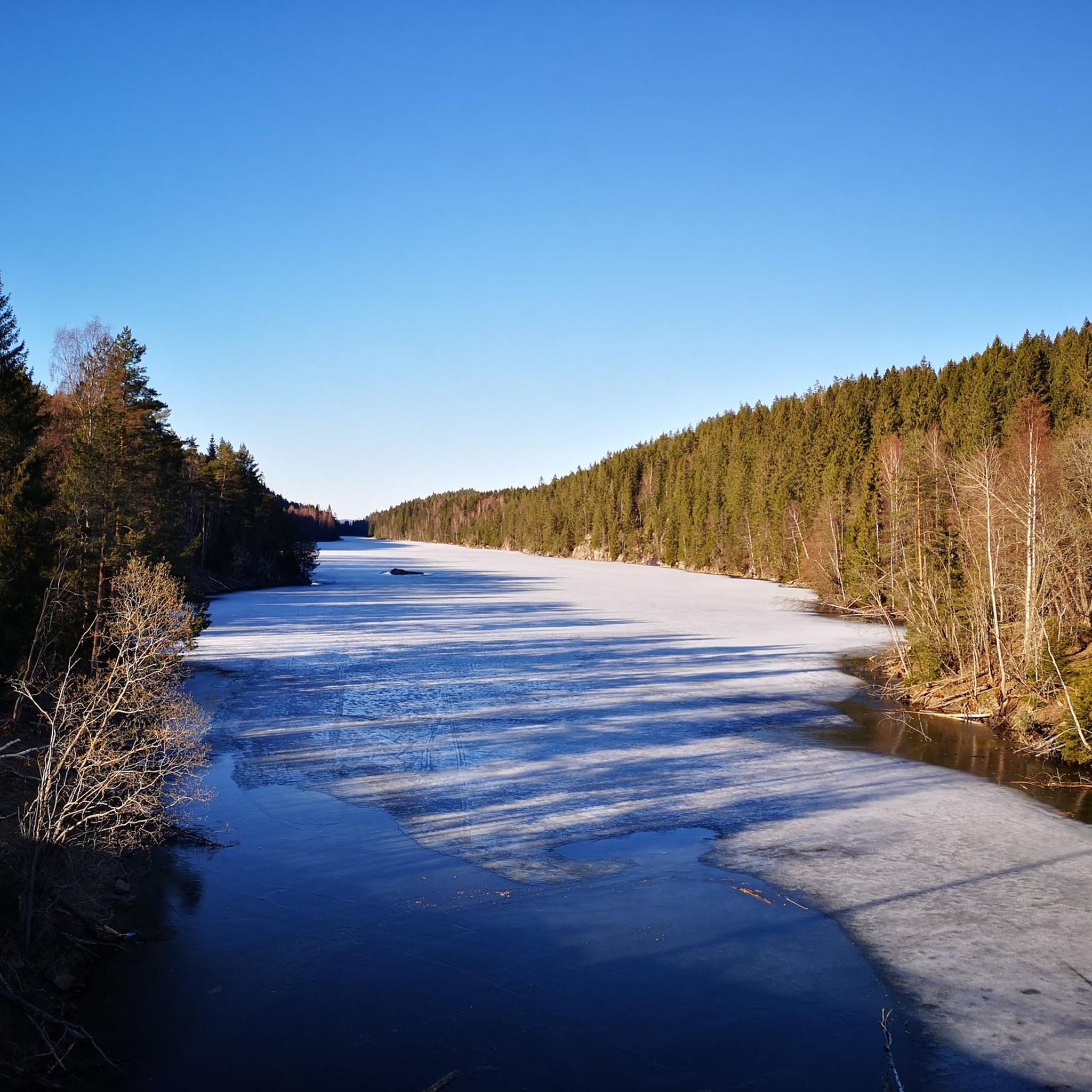
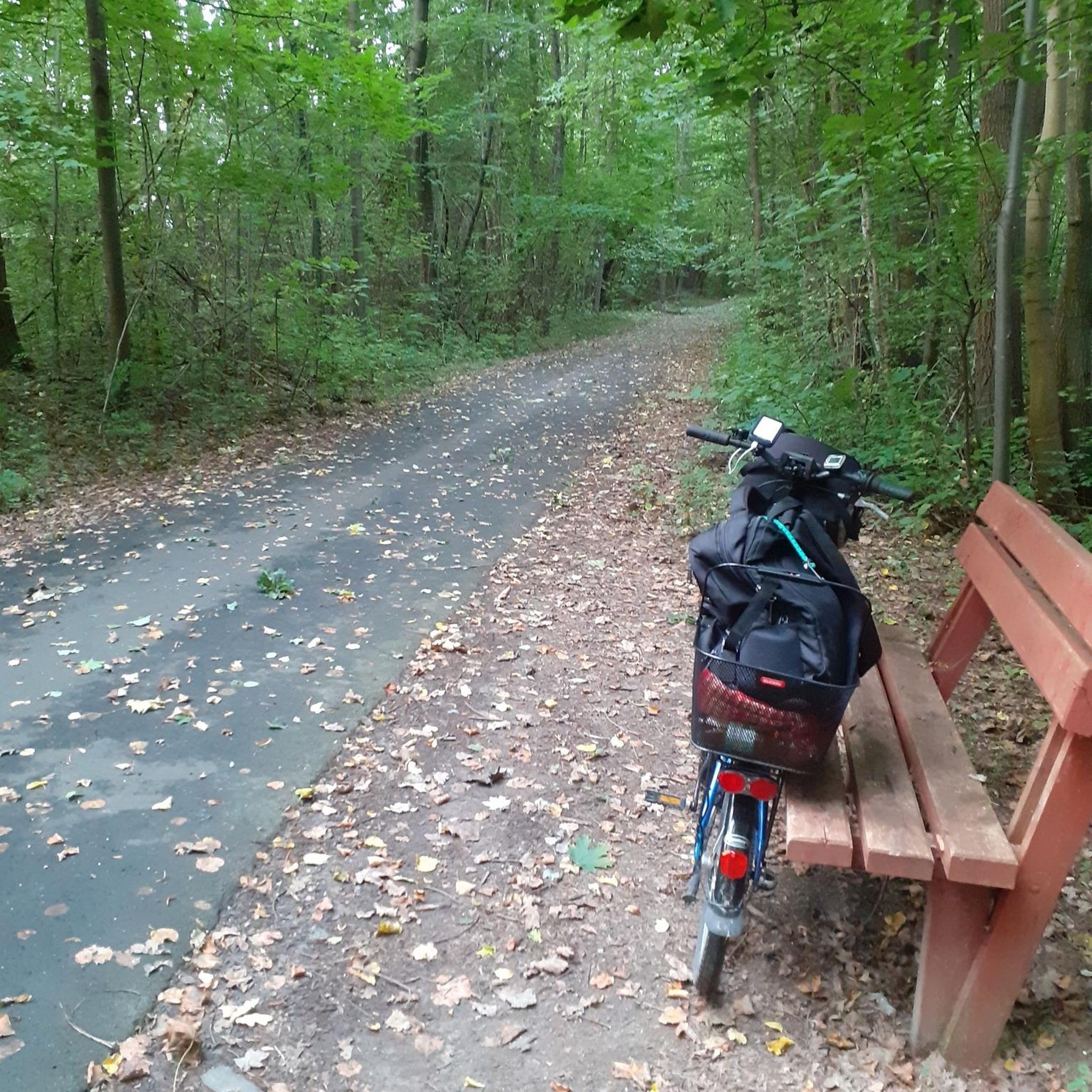

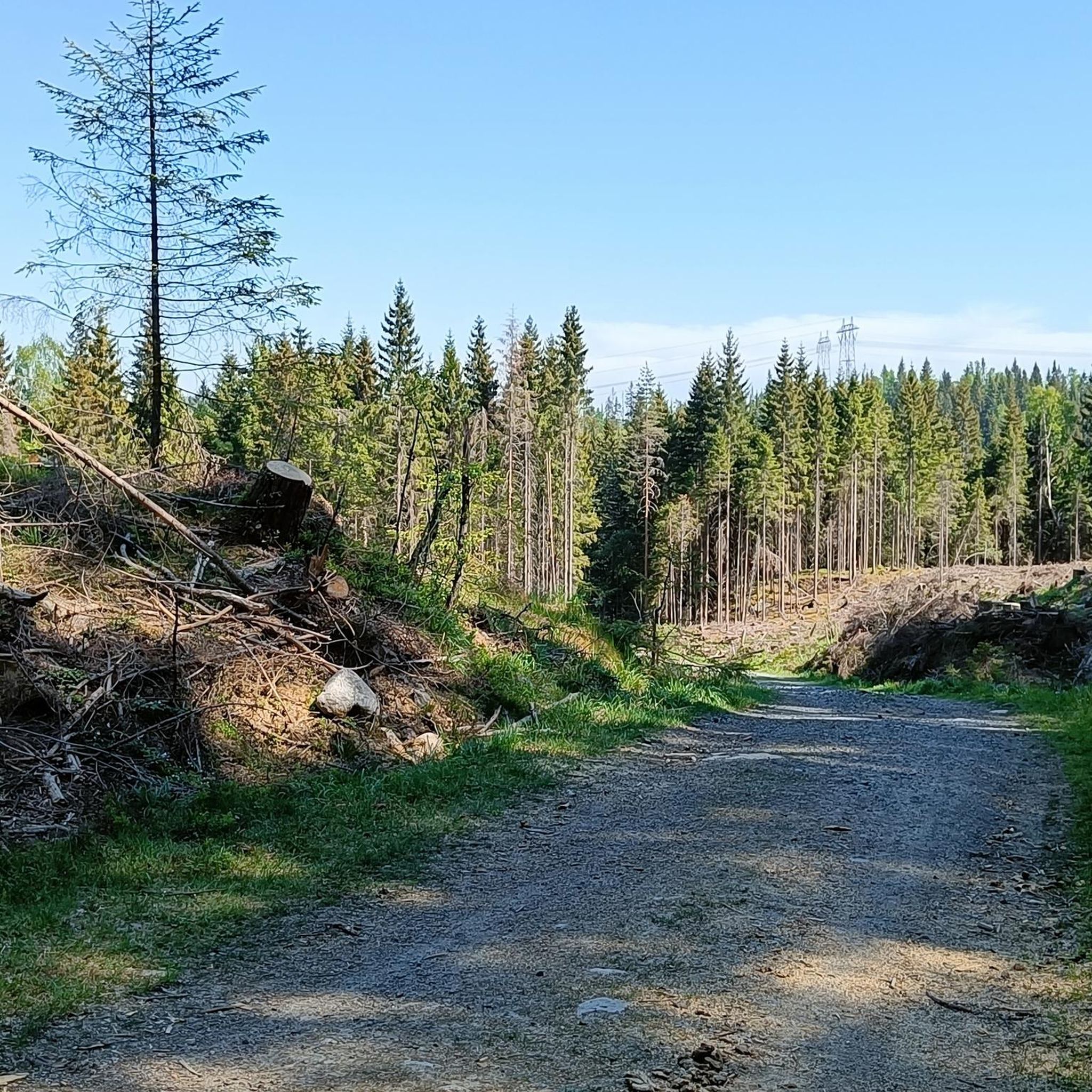
Tips from the Community

The Aurmoen landskapsvernområde is a nature reserve north of Oslo Airport. Here you will find a car park that serves as the starting point for the many paths that criss-cross the area. As it borders a military base, you should check in advance whether any exercises are taking place. You can find the barracks' telephone number here: https://www.forsvaret.no/om-forsvaret/tjenestesteder/sessvollmoen.
0
0

The Lillestrøm Bicycle Highway (Sykkelstamveien) is one of Norway’s showcase cycling routes, built as a fast, direct commuter corridor linking Lillestrøm with Oslo. It’s wide, smooth and fully separated from traffic, making it both safe and stress-free.
1
0

Nice neighborhoods with undisturbed roads!
0
0


Nice area overlooking the Nitelva river, with some tables, so good place for a break.
0
0

Frequently Asked Questions
What kind of terrain can I expect when road cycling around Halssjøen?
The Halssjøen area, situated within the Romerike Landscape Protection Area, offers diverse terrain for road cyclists. You'll find a mix of forests and routes that follow rivers like the Vorma and Mjøsa. Roads are generally well-paved and often less trafficked, providing a tranquil cycling experience. Elevation gains vary significantly, from relatively flat sections to routes with considerable climbs.
Are there road cycling routes suitable for beginners in Halssjøen?
Yes, Halssjøen offers several routes suitable for beginners. There are 4 easy routes available. For example, the Fjellhammardammen loop from Lørenskog is an easy 20.8 km (12.9 miles) ride with moderate elevation gain, typically completed in just under an hour. Another easy option is the Recommended Detour – Scenic Country Road loop from Hanaborg, which is 25.2 km (15.7 miles).
What are the options for more advanced road cyclists in the Halssjøen region?
For experienced road cyclists seeking a challenge, Halssjøen provides 13 difficult routes. These routes often feature significant climbs and longer distances. The region's varied terrain ensures that advanced riders can find demanding excursions that test their endurance and climbing skills.
How many road cycling routes are available in total around Halssjøen?
There are over 35 road cycling routes available around Halssjøen. These routes cater to various skill levels, including easy, moderate, and difficult options, ensuring there's something for every road cyclist.
What do other road cyclists enjoy most about the routes in Halssjøen?
The road cycling routes around Halssjøen are highly rated by the komoot community, with an average score of 4.1 stars from over 10 reviews. Cyclists often praise the diverse landscapes, including forests and river paths, as well as the well-paved and less-trafficked roads that contribute to a peaceful riding experience.
Are there any circular road cycling routes around Halssjøen?
Yes, many of the road cycling routes around Halssjøen are designed as loops, allowing you to start and finish at the same point. Examples include the popular Lovers' Bridge – Lillestrøm Bicycle Highway loop from Hanaborg and the Lillestrøm Hill loop from Hanaborg, which offer comprehensive tours of the region's varied landscapes.
What kind of natural features or viewpoints can I expect along the road cycling routes?
The Romerike region, where Halssjøen is located, is known for its diverse natural beauty. Road cycling routes often traverse forests and follow rivers like the Vorma and Mjøsa, offering picturesque scenery. While specific named viewpoints are not detailed, the varied terrain and natural landscapes provide numerous opportunities for scenic vistas throughout your ride.
Is Halssjøen suitable for family-friendly road cycling?
While many routes are moderate to difficult, there are easy routes available that could be suitable for families looking for less challenging rides. These easier options typically have less elevation gain and shorter distances, providing a more relaxed experience for all ages.
What is the best time of year to go road cycling in Halssjøen?
The Romerike region generally offers excellent conditions for outdoor activities. For road cycling, spring through autumn typically provides the most favorable weather. During winter, conditions can become challenging due to snow and ice, so it's advisable to check local weather forecasts and road conditions before planning a ride.
Are there any amenities like cafes or accommodation near the road cycling routes in Halssjøen?
While specific cafes or accommodations directly on the routes are not detailed, the Halssjøen area is part of the broader Romerike region, which is well-equipped for outdoor enthusiasts. You can expect to find amenities in nearby towns and villages, making it convenient to plan stops for refreshments or overnight stays.
What is the longest road cycling route available in Halssjøen?
One of the longer routes is the Lovers' Bridge – Lillestrøm Bicycle Highway loop from Lørenskog, which spans 95.6 km (59.4 miles). This moderate route offers extensive views across the Romerike area, often following quiet country roads, and takes approximately 3 hours 53 minutes to complete.
Most popular routes around Halssjøen

Get inspired with the komoot mobile app


Explore more
Browse the best Road cycling routes in other regions.
