The best running trails around Lutvann
4.4
(189)
20,266
runners
726
runs
Jogging around Lutvann offers diverse landscapes within the expansive Østmarka forested area, easily accessible from Oslo. The region features a mix of gravel roads and forest trails, providing varied running surfaces. Terrain ranges from mostly paved paths to more challenging forest sections with significant elevation gains, including rolling hills. Lutvann Lake itself is a central feature, enhancing the scenic views along many routes.
Best jogging routes around Lutvann
- The most popular jogging route is View of Østmarka – Utsikt loop from Alna, a 4.0 miles (6.5 km) trail that takes 50 minutes to complete. This moderate route offers views of the surrounding Østmarka landscape.
- Another top favourite among local runners is Running loop from Alna, a moderate 3.2 miles (5.1 km) path. This route provides a straightforward running experience through the local area, typically completed in 34 minutes.
- Local runners also love the View of Østmarka loop from Lindeberg, a 7.0 miles (11.3 km) trail leading through varied forest terrain, often completed in about 1 hour 24 minutes.
- Jogging around Lutvann is defined by extensive forests, rolling hills, and the pristine Lutvann Lake. The network offers options for different ability levels, from easy paths to more challenging trails with elevation.
- The routes in Lutvann are highly rated by the komoot community with an average score of 4.4 stars from over 100 reviews. More than 16,000 runners have used komoot to explore Lutvann's varied terrain.
Last updated: August 20, 2026
5.0
(1)
38
runners
6.47km
00:50
190m
190m
Moderate run. Good fitness required. Mostly paved surfaces. Suitable for all skill levels.
9
runners
5.10km
00:34
110m
110m
Moderate run. Good fitness required. Mostly paved surfaces. Suitable for all skill levels.

Sign up for free
2
runners
11.5km
01:25
320m
320m
Hard run. Very good fitness required. Mostly paved surfaces. Suitable for all skill levels.
12
runners
9.40km
01:10
240m
240m
Moderate run. Good fitness required. Mostly paved surfaces. Suitable for all skill levels.
8
runners
5.89km
00:38
90m
90m
Moderate run. Good fitness required. Mostly paved surfaces. Suitable for all skill levels.
Get access to more routes and recommendations from other explorers.
Sign up for free
Already have an account?
Our route recommendations are based on thousands of hikes, rides, and runs completed by other people on komoot.
Start today with a free account
Your next adventure awaits.
Login or Signup

Tips from the Community

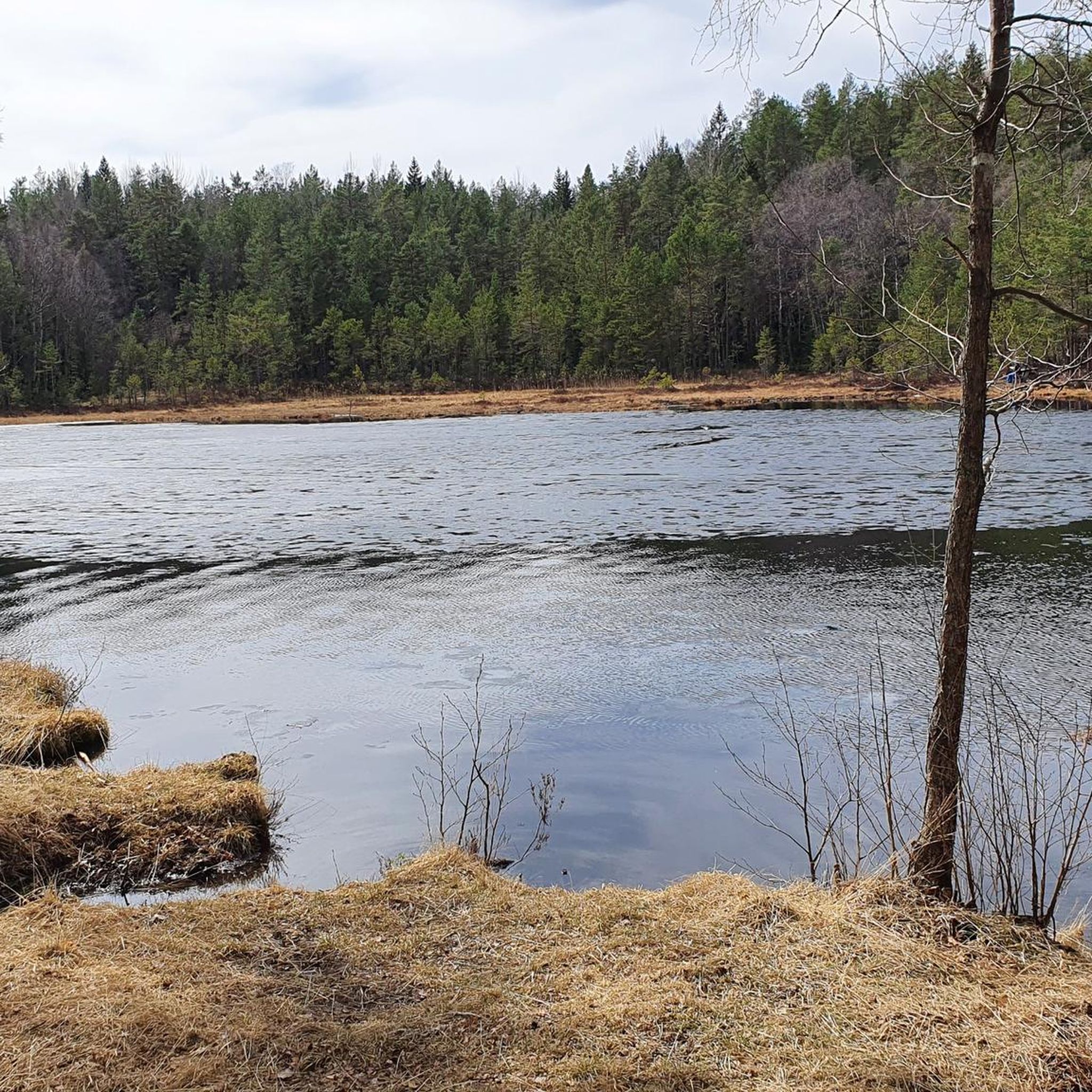
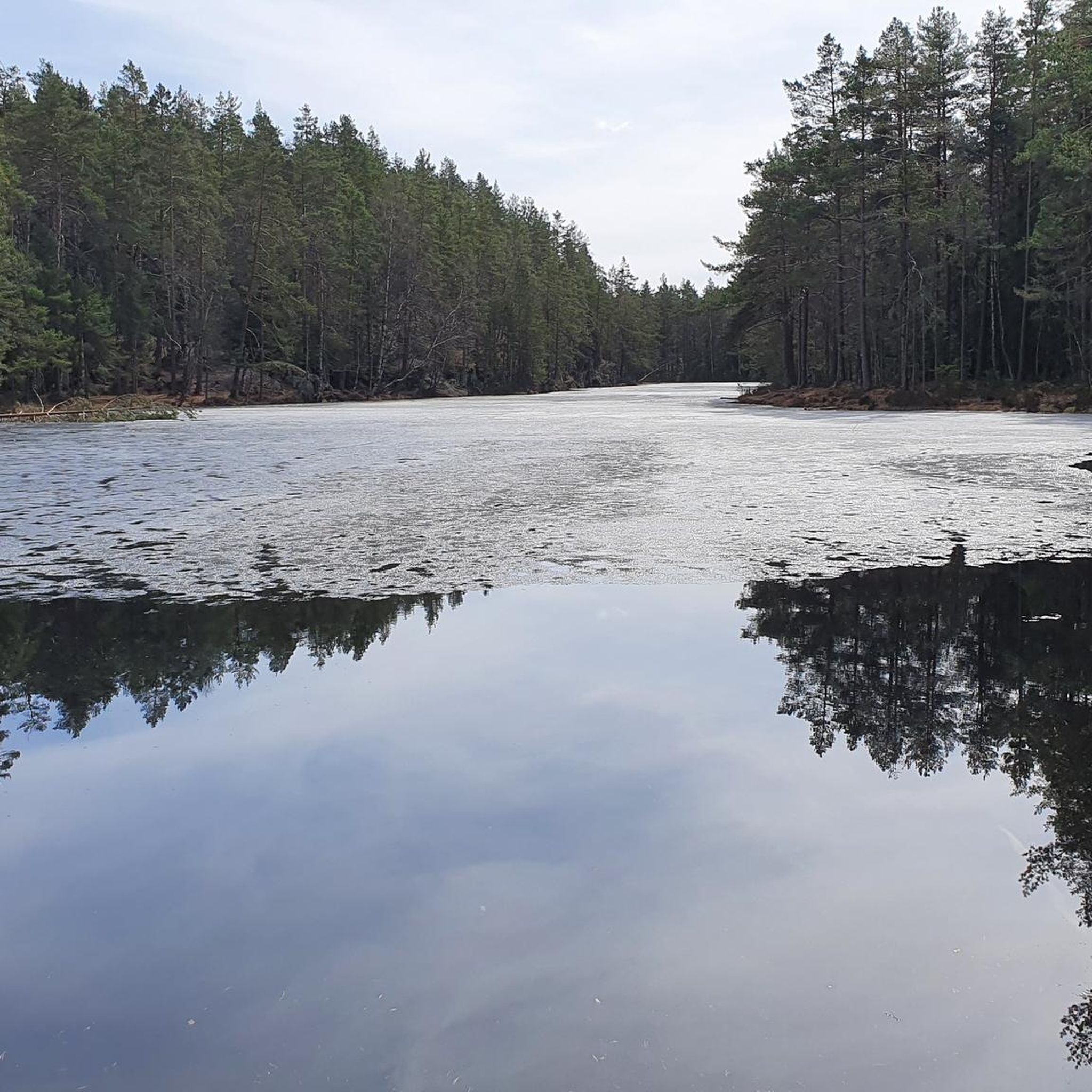
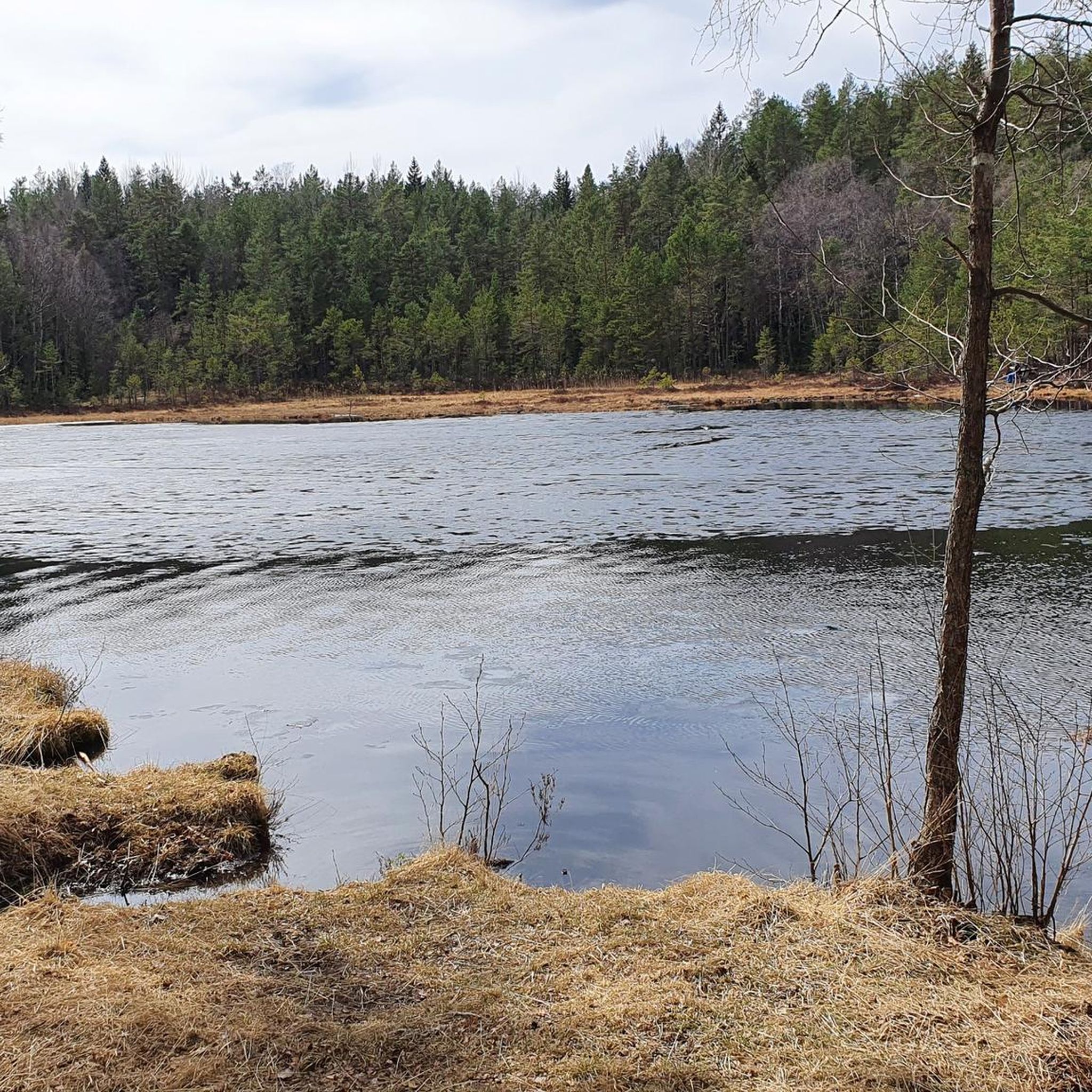
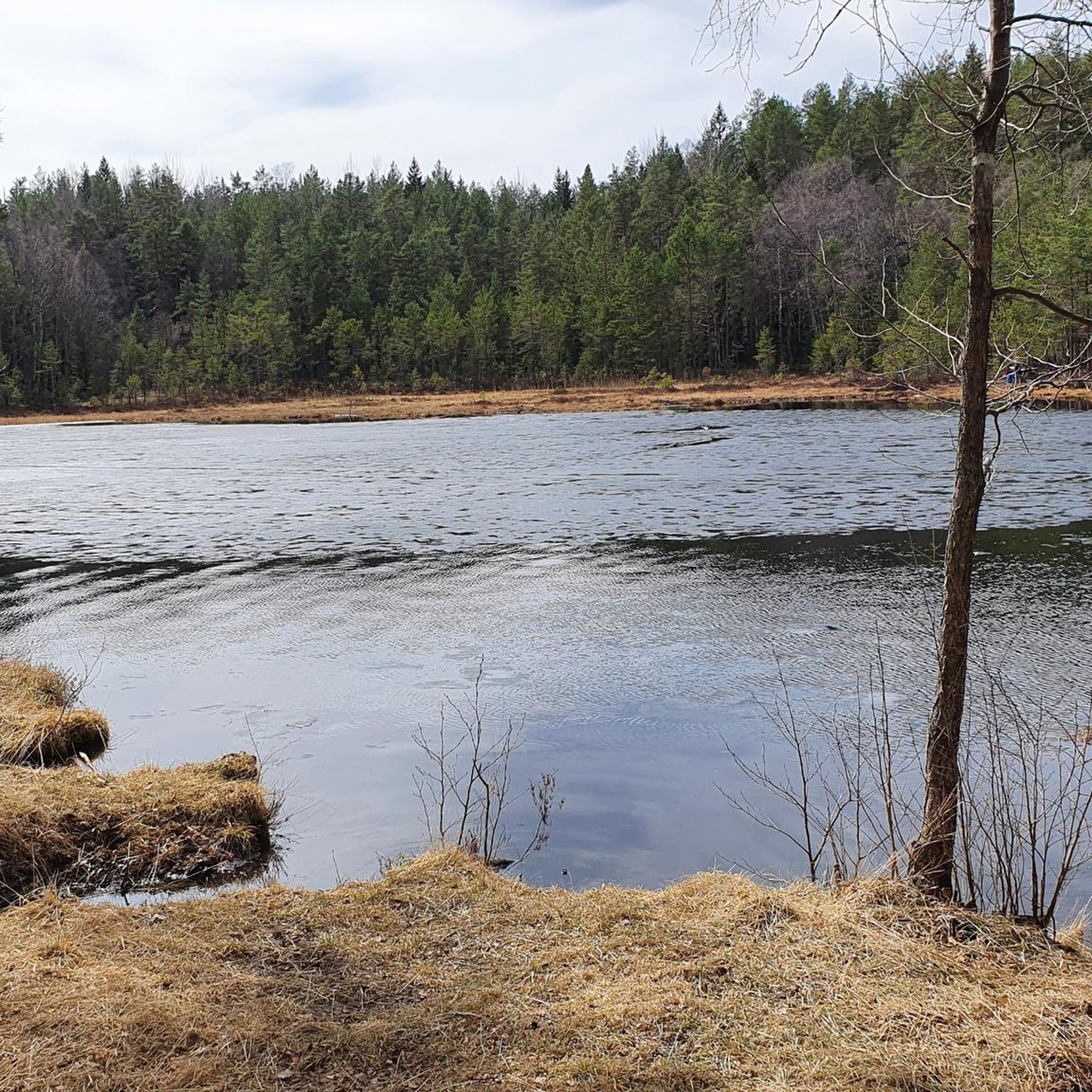
Lindebergåsen is a wooded ridge on the outskirts of Oslo and forms part of the wider Østmarka National Park nature and recreation area. The area is criss-crossed with paths and dotted with small viewing points, making it perfect for short walks.
0
0


This small bridge is always interesting to look at because it blends in well with the surroundings. The two elements on the left and right are made of solid stone, while the bridge itself is constructed of wood.
0
0

Very popular area in the summer. Good for grilling or for a swim in the lake.
0
0

Nice walk along the forests and the Ulsrudvannet lake. Be careful as paths might be slippery in winter.
0
0
Frequently Asked Questions
How many running routes are available around Lutvann?
Lutvann and the surrounding Østmarka area offer a vast network of trails. You'll find over 700 running routes, catering to various preferences and fitness levels, from easy paths to more challenging runs.
What kind of terrain can I expect on the jogging trails in Lutvann?
The terrain around Lutvann is quite varied. You'll encounter a mix of gravel roads and forest trails. While some paths are mostly paved and easy, others delve into more challenging forest sections with significant elevation gains and rolling hills, providing diverse running surfaces.
Are there any easy running routes suitable for beginners or casual joggers?
Yes, Lutvann has options for all skill levels. There are 61 easy routes available, many of which feature mostly paved surfaces, making them suitable for beginners or those looking for a more relaxed run.
Are there any routes that feature waterfalls or other natural landmarks?
Yes, for those interested in natural landmarks, consider the Sarabråten Ruins – Waterfall in Østmarka loop from Alna. This moderate 14.9 km route includes a waterfall within the Østmarka area, offering scenic views along the way.
What do other runners enjoy most about jogging in Lutvann?
The running routes around Lutvann are highly rated by the komoot community, with an average score of 4.4 stars from over 120 reviews. Runners often praise the diverse landscapes, the sense of wilderness within easy reach of Oslo, and the varied terrain that keeps runs interesting.
Can I find circular running routes around Lutvann?
Many of the routes in Lutvann are designed as loops, allowing you to start and finish at the same point. For example, the popular View of Østmarka – Utsikt loop from Alna is a moderate 6.5 km circular trail offering great views.
Are there any longer, more challenging running trails for experienced runners?
Absolutely. For experienced runners seeking a challenge, there are 128 difficult routes. A notable option is the View of Østmarka loop from Lindeberg, an 11.3 km difficult trail leading through varied forest terrain with significant elevation changes.
Is Lutvann easily accessible by public transport for runners?
Yes, Lutvann is well-connected to Oslo, making it an easy escape from the city. Public transport options are available, allowing you to reach the trailheads conveniently and immerse yourself in nature without needing a car.
What are some scenic viewpoints or attractions along the running paths?
The pristine Lutvann Lake itself is a central feature, providing scenic views along many routes. The larger Østmarka area offers extensive forests and rolling hills, and many trails, like the Svingen Bridge – View of Lake Ulsrud loop from Østensjø, provide beautiful vistas of the surrounding landscape.
Are the running trails around Lutvann suitable for families?
Yes, with a good selection of easy and moderate routes, many trails around Lutvann are suitable for families. The varied terrain means you can choose paths that are less strenuous and more enjoyable for all ages, especially those on the gravel roads or less challenging forest sections.
Can I bring my dog on the running trails in Lutvann?
Lutvann and the Østmarka area are generally dog-friendly, offering a great environment for running with your canine companion. However, it's always recommended to keep dogs on a leash, especially in protected areas or during wildlife breeding seasons, and to check local regulations for specific trail rules.
What is the best time of year to go running in Lutvann?
Lutvann is a versatile recreational area throughout the year. While summer offers pleasant conditions for running and even swimming in the lake, autumn provides stunning foliage. Winter also offers opportunities for cross-country skiing, and some trails may be suitable for winter running, depending on snow conditions.
Most popular routes around Lutvann

Get inspired with the komoot mobile app


Explore more
Browse the best Running Trails & Routes in other regions.
