The best road cycling routes in Montgomery County
4.7
(67)
3,003
riders
218
rides
Road cycling in Montgomery County, Maryland, features a diverse landscape that blends urban areas with rural tranquility. The region is characterized by extensive trail systems, including flat river towpaths and routes through agricultural reserves. Terrain varies from gentle, paved paths suitable for leisurely rides to more challenging routes with moderate elevation changes through wooded parks and rolling hills. This variety provides options for different skill levels and preferences.
Best road cycling routes in Montgomery County
- The most popular road cycling…
Last updated: October 5, 2026
4.8
(9)
410
riders
55.6km
02:49
180m
180m
Moderate road ride. Good fitness required. Mostly well-paved surfaces and easy to ride.
4.5
(15)
460
riders
Moderate road ride. Good fitness required. Mostly well-paved surfaces and easy to ride.

5.0
(2)
100
riders
25.9km
01:23
70m
70m
Easy road ride. Great for any fitness level. Mostly well-paved surfaces and easy to ride.
4.0
(2)
85
riders
26.8km
01:16
170m
170m
Moderate road ride. Great for any fitness level. Some segments of this route may be unpaved and difficult to ride.
5.0
(1)
80
riders
49.7km
02:49
220m
220m
Moderate road ride. Good fitness required. Some segments of this route may be unpaved and difficult to ride.
4.7
(3)
72
riders
32.5km
01:44
130m
130m
Easy road ride. Great for any fitness level. Mostly well-paved surfaces and easy to ride.
5.0
(1)
159
riders
31.3km
01:25
200m
200m
Easy road ride. Great for any fitness level. Mostly well-paved surfaces and easy to ride.
5.0
(1)
55
riders
19.3km
01:25
40m
40m
Easy road ride. Great for any fitness level. Mostly well-paved surfaces and easy to ride.
58
riders
97.5km
06:11
610m
610m
Hard road ride. Very good fitness required. Some segments of this route may be unpaved and difficult to ride.
5.0
(1)
52
riders
103km
06:38
560m
560m
Hard road ride. Very good fitness required. Some segments of this route may be unpaved and difficult to ride.
Get access to more routes and recommendations from other explorers.
Already have an account?
Our route recommendations are based on thousands of hikes, rides, and runs completed by other people on komoot.
Start today with a free account
Your next adventure awaits.
Popular around Montgomery County
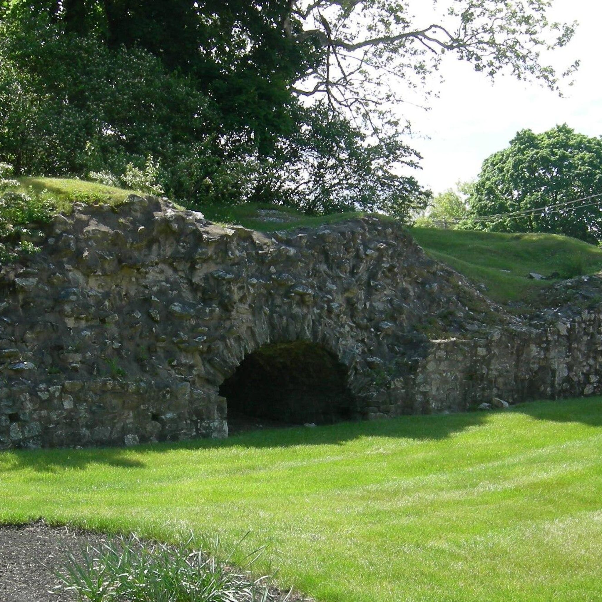
Road Cycling Routes around Plymouth Meeting
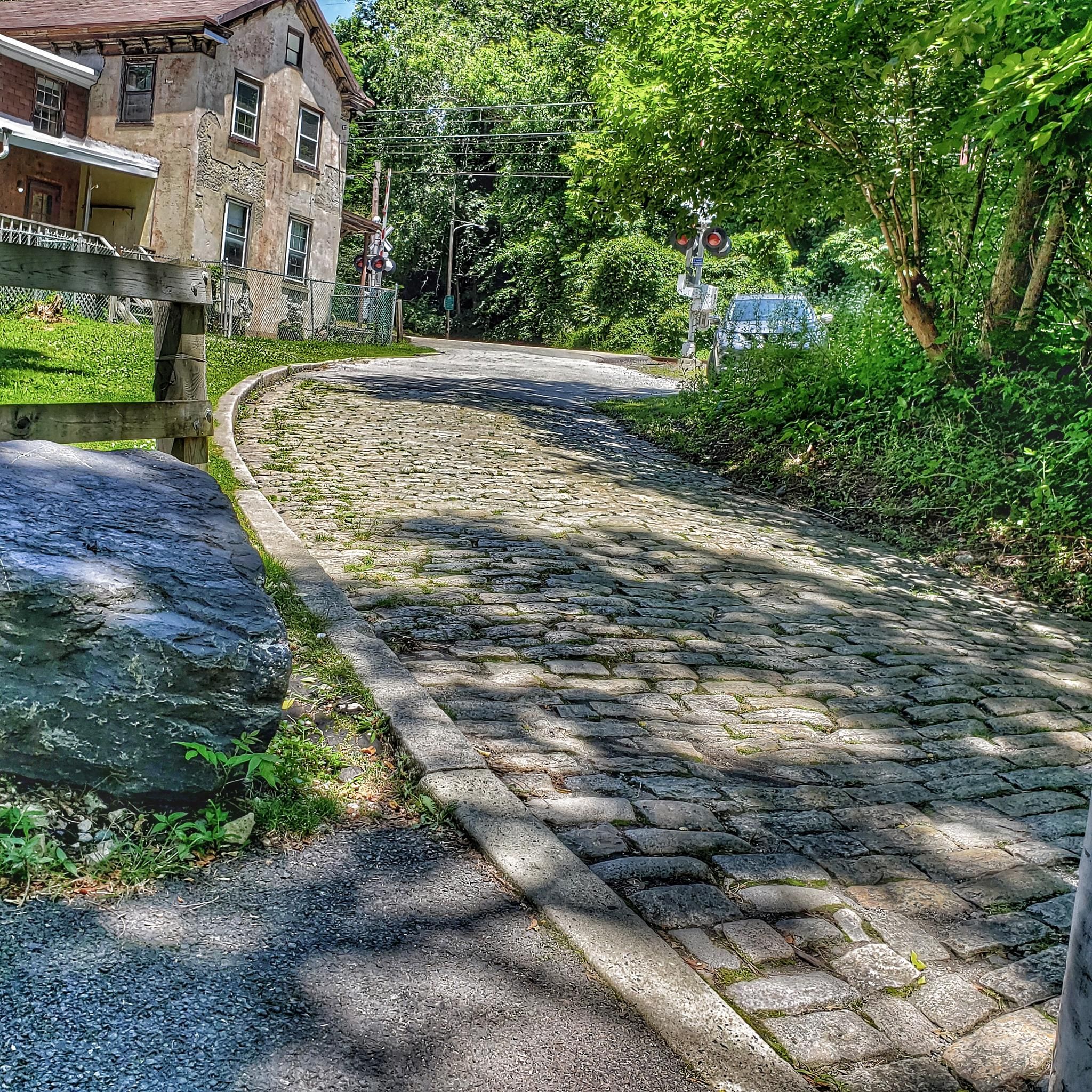
Road Cycling Routes around Norristown
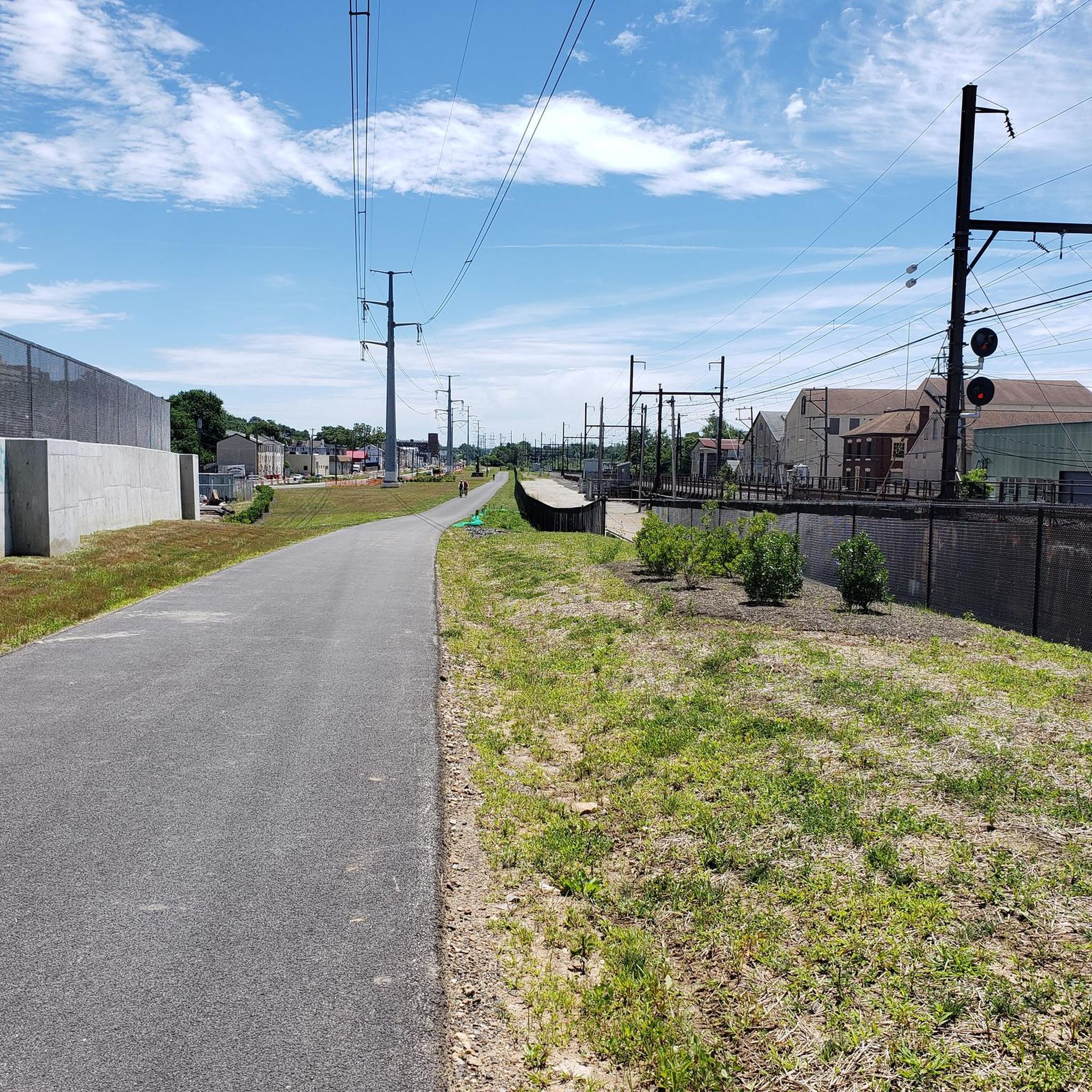
Road Cycling Routes around Swedeland

Road Cycling Routes around Rosemont

Road Cycling Routes around Bridgeport

Road Cycling Routes around West Conshohocken

Road Cycling Routes around Trooper
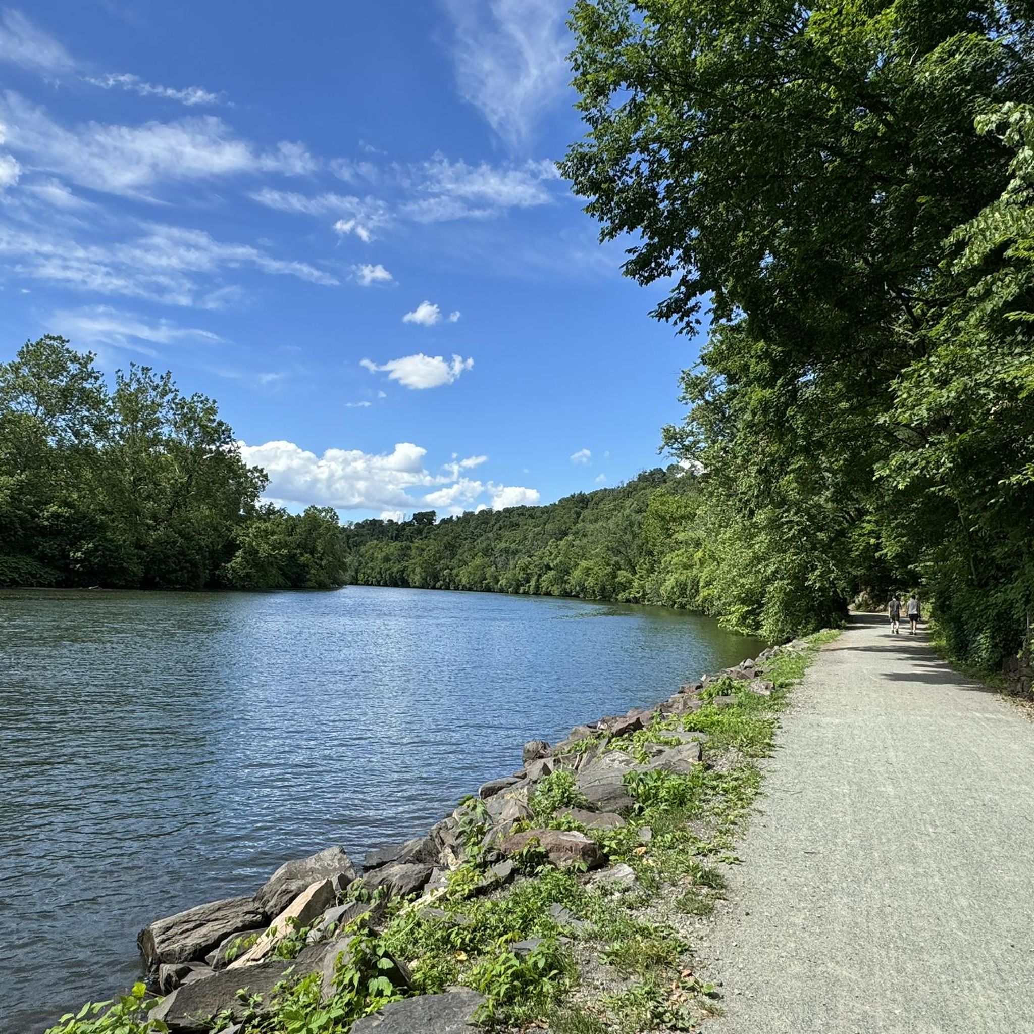
Road Cycling Routes around Mont Clare

Road Cycling Routes around Audubon
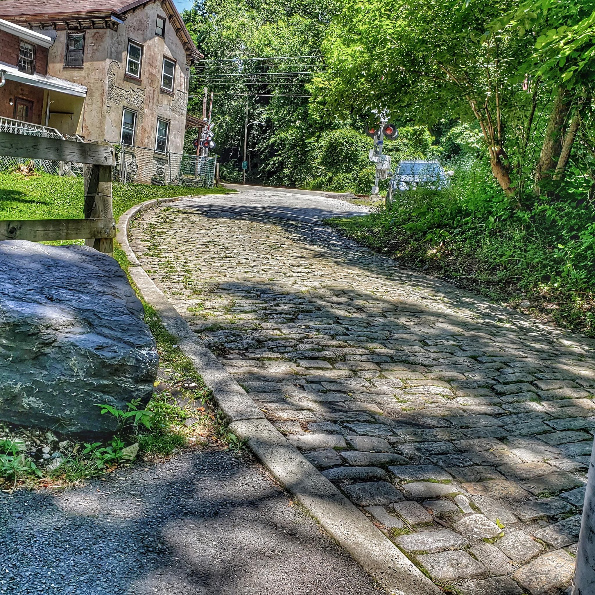
Road Cycling Routes around Conshohocken
Other adventures in Montgomery County

Tips from the Community

Be sure to top for a drink at one of the many brew pubs along the route.
0
0


The Falls Bridge is a 556-foot steel bridge that crosses the Schuylkill River through Fairmount Park. It was built in 1894.
0
0
The Schuylkill Center for Environmental Education is a 365-acre park with over three miles of trails. The space is known for its environmentally-focused art installations and ecological restoration efforts.
0
0

The Schuylkill River Trail is a 120-mile path stretching from Frackville in Schuylkill County to Philadelphia. This scenic trail winds through the rich landscapes of southeastern Pennsylvania, showcasing rural farmlands that wind along the river. It's named after the Schuylkill River Dutch for Hidden River.
1
0
Boathouse Row is a historic stretch of that sits on the Schuylkill River. It features 15 boathouses that host social and rowing clubs with their racing shells. It's a nice place to hop off your bike, take a break, and people watch.
1
0
This is a perfect spot to access the Schuylkill River Trail. At this trailhead, you'll find a dog park and a picnic area—an excellent place to start your journey or turn around and head back.
1
0
As you make your way along the trail you will see the impressive Strawberry Mansion Bridge. It is a steel arch truss bridge spanning the Schuylkill River.
0
0
Frequently Asked Questions
How many road cycling routes are available in Montgomery County?
Montgomery County offers a wide variety of road cycling experiences, with over 240 routes available on komoot. These routes cater to different skill levels, from easy, flat paths to more challenging rides with moderate elevation changes.
What types of terrain can I expect on road cycling routes in Montgomery County?
The region features diverse terrain. You'll find extensive trail systems, including flat river towpaths like the C&O Canal Towpath, and routes through picturesque agricultural reserves with rolling hills. Other areas, such as those around Sugarloaf Mountain, offer more rugged trails with steeper climbs. Many routes combine paved paths with sections through wooded parks.
Are there family-friendly road cycling routes in Montgomery County?
Yes, Montgomery County has several family-friendly options. Parks like Black Hill Regional Park offer over 20 miles of diverse trails, including paths suitable for families around Little Seneca Lake. The C&O Canal Towpath is also an excellent choice, providing a flat and scenic ride along the Potomac River, ideal for all ages.
What are some of the most scenic road cycling routes in the area?
For scenic rides, consider routes that pass through the Agricultural Reserve, offering views of farmland and historic barns. The C&O Canal Towpath provides beautiful riverside scenery and opportunities for wildlife sightings. Routes like the View from Sullivan's Bridge – Lower Perkiomen Valley Park loop from DeKalb Street offer picturesque views through Lower Perkiomen Valley Park.
What do other road cyclists enjoy most about cycling in Montgomery County?
The komoot community highly rates road cycling in Montgomery County, with an average score of 4.8 stars from over 60 reviews. Cyclists often praise the region's extensive trail systems, the blend of urban and rural scenery, and the variety of routes that cater to different abilities.
Are there any long-distance road cycling routes in Montgomery County?
Yes, for longer rides, you can explore routes that utilize the extensive trail network. The C&O Canal Towpath, for example, stretches 184.5 miles, offering a significant long-distance option. Routes like the View from Sullivan's Bridge – Schuylkill River Trail loop from Mont Clare cover over 34 miles, providing a substantial ride.
Where can I find parking for road cycling routes in Montgomery County?
Many parks and trailheads throughout Montgomery County offer dedicated parking facilities. For popular trails like the Capital Crescent Trail or the C&O Canal Towpath, various access points have parking lots. It's advisable to check specific trail information for parking availability at your chosen starting point.
Are there any circular road cycling routes available?
Yes, many routes in Montgomery County are designed as loops, offering convenient starting and ending points. Examples include the Lower Perkiomen Valley Park – Perkiomen Trail loop from Washington Memorial Chapel, which is 17 miles long, and the Chester Valley Trail – Chester Valley Trail loop from Hughes Park, a moderate 33-mile ride.
What attractions or landmarks can I see along the road cycling routes?
Road cycling routes in Montgomery County often pass by significant natural and historical attractions. You can encounter lakes like Duck Pond or Knight Lake. Historical sites such as the National Memorial Arch are also accessible from some routes, offering cultural points of interest during your ride.
What is the best time of year for road cycling in Montgomery County?
Spring and fall are generally considered the best times for road cycling in Montgomery County due to milder temperatures and beautiful scenery. Spring brings blooming peach trees in areas like the Agricultural Reserve, while fall offers vibrant foliage. Summer can be enjoyable, but be prepared for warmer temperatures, especially during midday.
Are there options for advanced road cyclists seeking a challenge?
While many routes are moderate, advanced cyclists can find challenges, particularly in areas with more elevation. Sugarloaf Mountain, though offering rugged trails, provides stunning views and more thrilling experiences. Look for routes with higher elevation gains or combine multiple moderate routes for a longer, more demanding ride.
Can I access road cycling routes using public transport?
Yes, some road cycling trails in Montgomery County are accessible via public transport. The Capital Crescent Trail, for instance, connects urban areas like Silver Spring and Bethesda, which have public transport links. It's recommended to check local transit schedules and bike-on-bus/train policies for specific routes and access points.
Most popular routes in Montgomery County
Most popular attractions in Montgomery County

Get inspired with the komoot mobile app


Didn’t find what you were looking for?
Check out more Road cycling routes throughout Montgomery County below and find the perfect route in your destination.
Explore more
Browse the best Road cycling routes in other regions.
