The best road cycling routes around Bogstadvannet
4.4
(72)
4,867
riders
41
rides
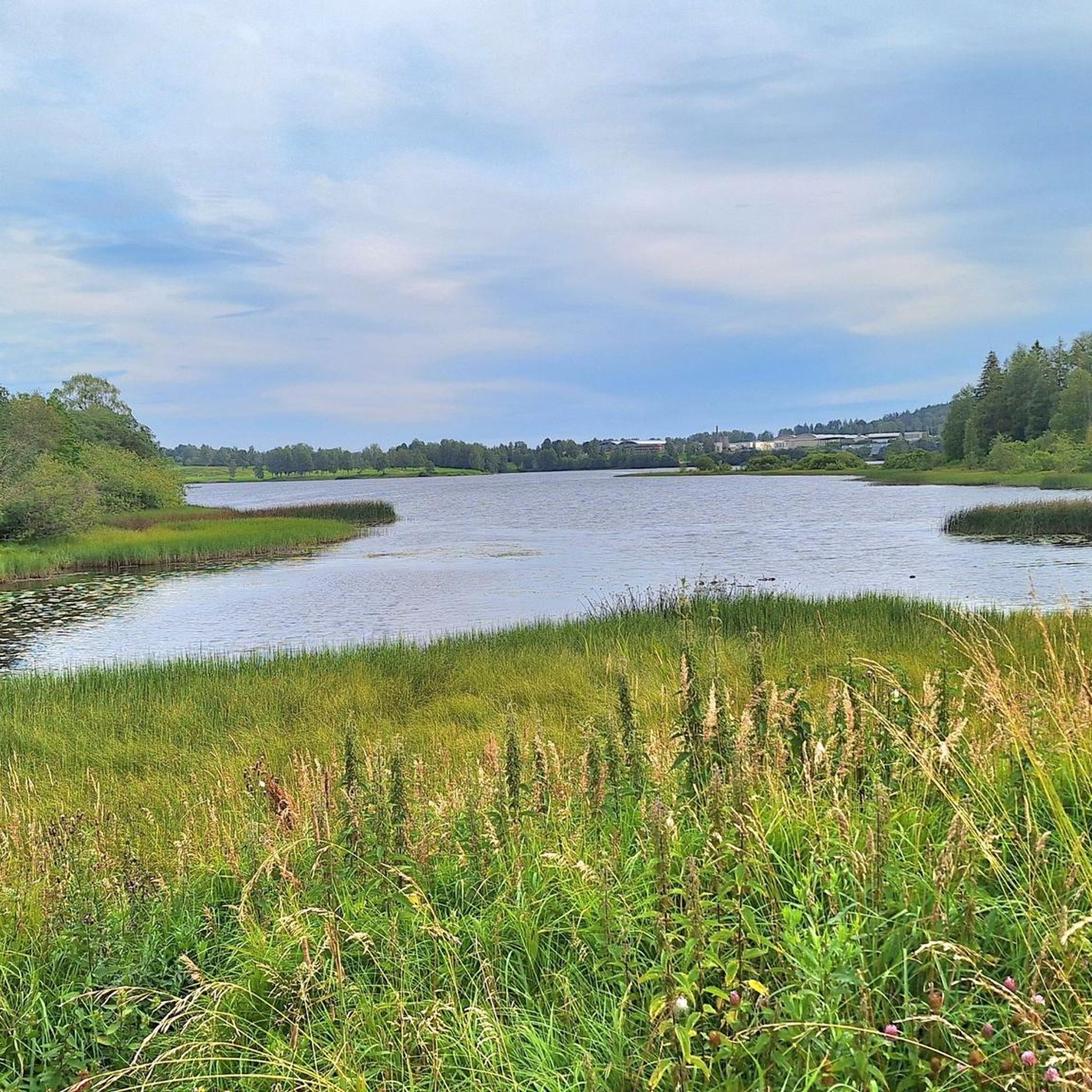
Road cycling around Bogstadvannet offers diverse landscapes, from the shores of the lake to the extensive Sørkedalen forest. The region features well-paved surfaces suitable for road bikes, with routes that traverse green areas and connect to urban landmarks in Oslo. Cyclists can expect varied terrain, including segments with significant elevation gains and some paths shared with hikers. The area is characterized by its lake views, surrounding forests, and accessible natural features.
Best road cycling routes around Bogstadvannet
- The most popular…
Last updated: October 8, 2026
3.5
(2)
139
riders
76.2km
03:44
970m
970m
Hard road ride. Very good fitness required. Mostly well-paved surfaces and easy to ride.
18
riders
45.2km
02:15
620m
620m
Moderate road ride. Good fitness required. Mostly well-paved surfaces and easy to ride.

7
riders
140km
06:24
1,350m
1,350m
Hard road ride. Very good fitness required. Some segments of this route may be unpaved and difficult to ride.
2
riders
96.9km
04:07
570m
570m
Moderate road ride. Good fitness required. Some segments of this route may be unpaved and difficult to ride.
5.0
(1)
101
riders
89.2km
04:13
1,130m
1,130m
Hard road ride. Very good fitness required. Mostly well-paved surfaces and easy to ride.
Get access to more routes and recommendations from other explorers.
Already have an account?
Our route recommendations are based on thousands of hikes, rides, and runs completed by other people on komoot.
Start today with a free account
Your next adventure awaits.
Tips from the Community

Bånkallia Nature Trail combines an easy woodland walk with interpretive signs about the area's forests, wildlife, plants and cultural history. It's an enjoyable route for families and anyone looking to learn more about the natural and cultural heritage of the Grorud Valley.
0
0
One of the oldest historic farms in the Grorud Valley, Bånkall Farm is now home to a popular café serving seasonal food, homemade cakes and locally sourced ingredients. It's a great place to take a break before or after exploring the surrounding woodland trails.
0
0
Asker has been an important settlement for centuries, with a history that stretches from Iron Age burial sites to its development as a railway town in the late 19th century. Today, traces of this history can still be found throughout the town centre, where historic buildings, churches and cultural landmarks tell the story of Asker’s past.
0
0
Kadettangen is one of Bærum’s most popular waterfront recreation areas, known for its sandy beach, swimming facilities and open green spaces. The diving platform is a favourite summer attraction, offering a refreshing way to enjoy the clear waters of the Oslofjord.
0
0
Completed in 1926 and later expanded, Bærum Town Hall is one of Sandvika’s most distinctive public buildings. Outside, you’ll find Friheten (“Freedom”), Arnold Haukeland’s striking equestrian sculpture, which has become a local landmark and an important example of modern Norwegian public art.
0
0

Well-visited and yet there never is a feeling of crowding here... For friends of the well-maintained selfie... the ideal posing spot...😉
3
1

One of the liveliest spots along the Oslofjord, Vollen Harbor combines a working marina with cafés, waterfront walks and beautiful views across the water. A great place to take a break and watch the boats come and go.
0
0

A narrow path along the Sandvikselva river. The banks and the riverbed are still in their natural state here.
0
0
Frequently Asked Questions
What types of road cycling routes can I find around Bogstadvannet?
Bogstadvannet offers a diverse range of road cycling routes, catering to various fitness levels. You'll find everything from moderate rides with balanced terrain to more challenging routes featuring significant elevation gains, some reaching up to 3,000 feet. The routes often combine well-paved surfaces with scenic views of the lake, forests, and connections to urban landmarks in Oslo.
How many road cycling routes are available in the Bogstadvannet area?
There are over 50 road cycling routes available around Bogstadvannet, offering a wide selection for cyclists. These routes are categorized by difficulty, ensuring options for different skill levels.
Are there any challenging road cycling routes with significant climbs near Bogstadvannet?
Yes, for those seeking a challenge, the Bogstadvannet area features several routes with substantial elevation gains. For example, the Roadbike loop from Ekraveien is a difficult 75 km route with over 950 meters of ascent. Another demanding option is the Holmenkollen Ski Jump – Lovers' Bridge loop from Voksenlia, which covers 138 km with over 1300 meters of climbing.
What landmarks and attractions can I see along the road cycling routes?
Many routes around Bogstadvannet offer opportunities to see notable landmarks and natural features. You can cycle past the picturesque Bogstadvannet Lake itself, explore the beginning of the Sørkedalen forest, or discover the historic Bogstad Manor. Some routes also connect to Oslo's urban environment, passing sights like the Royal Palace and Frognerparken, or the iconic Holmenkollen Ski Jump.
Are there any family-friendly road cycling routes in the Bogstadvannet area?
While many routes are designed for road bikes and can be moderate to difficult, some segments and paths are suitable for families. The area features extensive green spaces and asphalt paths, and a 'Green Bike Route' follows the scenic Mærradalsbekken stream, which could be a good option for a more relaxed family ride. Always check the route details for specific difficulty and terrain.
When is the best time of year to go road cycling around Bogstadvannet?
The best time for road cycling around Bogstadvannet is generally during the warmer months, from spring through autumn, when the weather is mild and the paths are clear of snow and ice. This allows for optimal enjoyment of the well-paved surfaces and scenic landscapes. Always check local weather conditions before heading out.
How can I get to the Bogstadvannet cycling routes using public transport?
Bogstadvannet is conveniently located a short distance from central Oslo, making it accessible by public transport. You can often reach starting points of routes, such as those from Voksenlia or Eiksmarka, via local buses or trams from Oslo. It's advisable to check the local public transport schedules and routes for the most current information on reaching your desired starting point.
Are there parking facilities available for cyclists near Bogstadvannet?
Yes, there are parking facilities available in the vicinity of Bogstadvannet, especially near popular starting points for outdoor activities. For instance, if you're starting a route from Ekraveien or Eiksmarka, you'll typically find designated parking areas. It's recommended to check specific parking options for your chosen route's starting point beforehand.
What do other road cyclists enjoy most about cycling in Bogstadvannet?
The Bogstadvannet area is highly rated by the komoot community, with an average score of 4.3 stars from over 50 reviews. Cyclists often praise the diverse landscapes, which include beautiful lake views, lush forested areas, and the unique combination of natural escapes with connections to Oslo's urban environment. The variety of routes, from moderate to challenging, is also a frequently highlighted positive aspect.
Are there any cafes or places to stop for refreshments along the road cycling routes?
While specific cafes directly on every route segment are not guaranteed, the Bogstadvannet area and its proximity to Oslo mean you'll find options for refreshments. Bogstadvannet itself is a popular recreational area, and routes that pass through or near urban areas like Oslo will offer numerous cafes and pubs. It's a good idea to plan your stops in advance, especially on longer rides.
Can I combine urban sightseeing with road cycling around Bogstadvannet?
Absolutely! Many routes around Bogstadvannet are designed to offer a blend of natural beauty and urban exploration. For example, the Frognerstranda Cycleway – The Royal Palace, Oslo loop from Voksenlia allows you to cycle through both natural landscapes and past iconic Oslo landmarks like the Royal Palace and Frognerparken, often utilizing separate bike lanes.
Most popular routes around Bogstadvannet

Get inspired with the komoot mobile app


Explore more
Browse the best Road cycling routes in other regions.
