The best cycling routes in Rio Arriba County
5.0
(1)
16
riders
6
rides
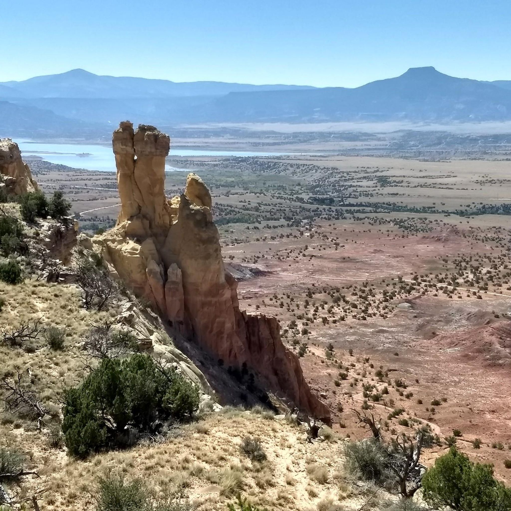
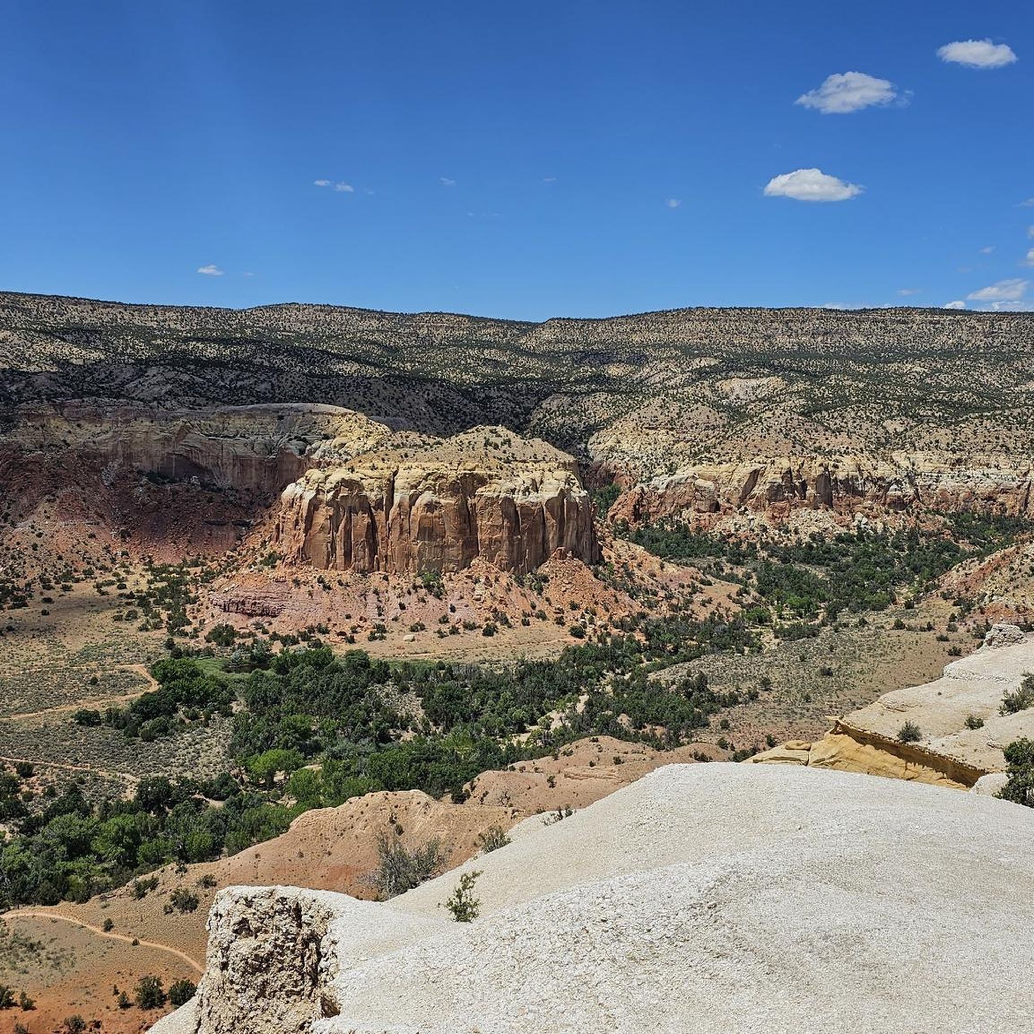
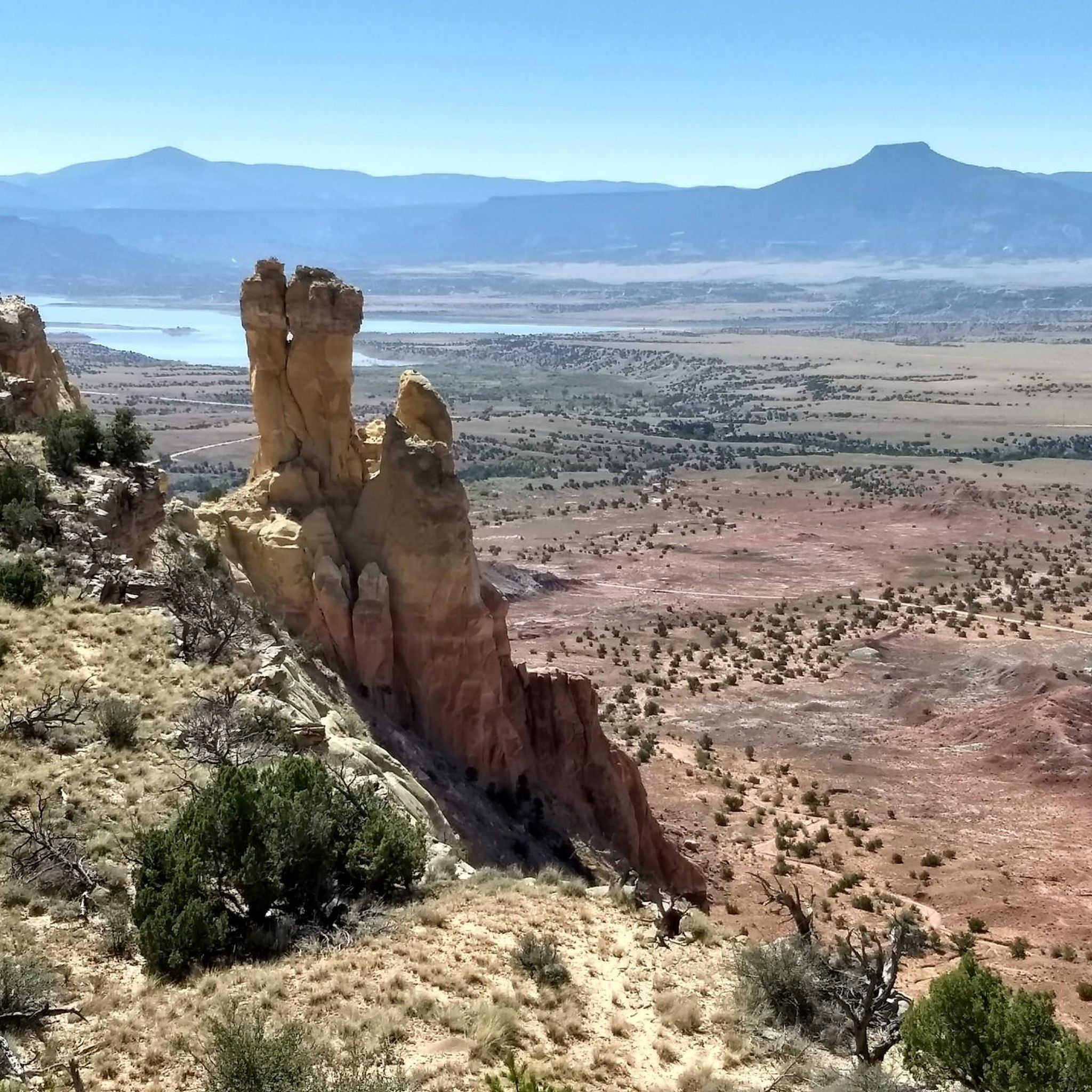
Touring cycling in Rio Arriba County offers diverse landscapes, characterized by dramatic red rock formations, mesas, and expansive mountain ranges like the Jemez Mountains. The region is shaped by significant waterways, including the Rio Grande and Rio Chama, which carve out picturesque river valleys. Large portions of the county are covered by national forests, such as Carson National Forest, providing varied terrain for cycling. This combination of geological features and natural areas creates a dynamic environment for touring cyclists.
Best…
Last updated: October 10, 2026
4
riders
47.7km
03:07
670m
670m
The Juniper Campground loop offers a challenging yet incredibly scenic touring cycling experience, winding through varied terrain on Mount Diablo's western slopes. You'll navigate unpaved surfaces and fire roads, tackling…
1
riders
23.0km
01:32
380m
380m
The South Mesa loop near Los Alamos, New Mexico, offers a distinctive touring cycling experience across sweeping mesa landscapes. You'll find yourself on mostly flat terrain, meandering through open meadows…

38.3km
02:17
190m
190m
Cycle the moderate 23.8-mile Trading Post loop near Cuba, New Mexico, offering scenic views of badlands and mountains.
12.7km
00:53
130m
130m
The Canyon Rim Loop in Los Alamos offers a truly accessible and scenic touring cycling experience, perfect for a relaxed outing. This easy 7.9-mile (12.7 km) route, with a gentle…
26.5km
01:45
250m
250m
Experience a moderate 16.5-mile touring cycling segment of the Great Divide Mountain Bike Route through Carson National Forest, featuring Ab
5.0
(1)
6
riders
19.7km
01:25
390m
390m
Moderate bike ride. Good fitness required. Mostly paved surfaces. Suitable for all skill levels.
5
riders
21.6km
01:24
260m
260m
Moderate bike ride. Good fitness required. Mostly paved surfaces. Suitable for all skill levels.
4
riders
Hard bike ride. Very good fitness required. Mostly paved surfaces. Suitable for all skill levels.
4
riders
36.1km
03:58
1,150m
1,150m
Hard bike ride. Very good fitness required. Mostly paved surfaces. Suitable for all skill levels.
2
riders
13.0km
01:26
470m
470m
Hard bike ride. Very good fitness required. Mostly paved surfaces. Suitable for all skill levels.
Our route recommendations are based on thousands of hikes, rides, and runs completed by other people on komoot.
Start today with a free account
Your next adventure awaits.

Other adventures in Rio Arriba County

Tips from the Community

The Quemazon Trail is an excellent running and hiking trail on the westside of Los Alamos. It is typically run as a downhill trail accessed from either the Knapp/Los Alamos Canyon Trail or Pipeline Road, but it can be run uphill. The Quemazon Trail is a technical trail with stretches of flowy singletrack intermixed with rocks, ledges, and small drops to keep things interesting.
0
0

If you appreciate a rocky terrain and varied slopes, Kinnikinnik Park is the perfect starting point for your adventure. This park serves as an excellent base to delve into Acid Canyon and the surrounding trail network.
0
0

Run up Forest Road 103, to Rock Creek Mesa. Rock Creek Mesa is at an elevation of 8452 feet above sea level. Forest Road 103 is a smooth gravel road that begins at Highway 126 and continues past Rock Creek Mesa into Santa Fe National Forest.
0
0
The Palomas Trailhead is a loop off Forest Road 70, with no facilities. There are a few parking spots, but otherwise, it's just an area to park and get started on your adventure.
0
0
This part of New Mexico Highway 4 has great views of the Los Alamos Valley, with the Jemez Hairpin Curve being an especially nice spot. If hiking this road, the shoulder is narrow, so be careful.
0
0
The Guaje Ridge Trail is a long, open trail that traverses the amazing ridges of several mountain tops (most unnamed) north of Los Alamos. This section of trail stretches from the intersection with the Mitchell Trail and the Upper Guaje Ridge Trail. Although you're only a few miles from town (as the crow flies), this is an incredibly remote feeling trail.
0
0
The Quemazon Trail is an excellent mountain biking and hiking trail on the westside of Los Alamos. It is typically ridden as a downhill trail accessed from either the Knapp/Los Alamos Canyon Trail or Pipeline Road, but it can be ridden uphill. The Quemazon Trail is a technical trail with stretches of flowy singletrack intermixed with rocks, ledges, and small drops to keep things interesting.
0
0
The Acid Canyon Trail is a part of the popular Bridges Loop, a relatively easy mountain biking loop close to downtown Los Alamos, New Mexico. This section of trail is also popular with hikers so be on the lookout for other trail users!
0
0
Frequently Asked Questions
What types of touring cycling routes are available in Rio Arriba County?
Rio Arriba County offers a diverse range of touring cycling routes, catering to various skill levels. You'll find everything from moderate paths to more challenging routes that traverse dramatic red rock formations, river valleys, and forested mountain slopes. There are over 8 touring cycling routes documented, including 2 difficult and 3 moderate options, ensuring a varied experience for every cyclist.
Are there any challenging touring cycling routes for experienced riders in the area?
Yes, experienced touring cyclists can find challenging routes in Rio Arriba County. For instance, the Juniper Campground loop is a difficult 29.7-mile (47.7 km) trail with significant elevation changes through forested areas. Another demanding option is the Pueblo Canyon view – Acid Canyon Trail loop from Los Alamos, which covers 21.8 km with substantial climbs.
What are some scenic natural features or landmarks I can see while cycling in Rio Arriba County?
Rio Arriba County is rich in stunning natural features. Cyclists can encounter iconic red rock formations and mesas, especially around areas like Ghost Ranch. The region also boasts expansive mountain ranges such as the Jemez Mountains and parts of the San Juan Mountains. Significant waterways like the Rio Grande and Rio Chama carve out picturesque river valleys, offering beautiful routes alongside their banks. You might also spot the majestic Brazos Cliffs in the northern part of the county.
Are there any loop routes for touring cyclists who prefer to start and end in the same location?
Yes, many touring cycling routes in Rio Arriba County are designed as loops. Popular options include the South Mesa loop, a 14.3-mile (23.0 km) trail through mesa landscapes, and the Trading Post loop. For a shorter ride, consider the Canyon Rim Loop.
What is the best time of year to go touring cycling in Rio Arriba County?
The diverse terrain of Rio Arriba County, with its mountain ranges and river valleys, means that conditions can vary. Generally, spring and fall offer pleasant temperatures for touring cycling, avoiding the peak heat of summer and potential snow in higher elevations during winter. Always check local weather forecasts and trail conditions before heading out, especially if planning to ride in mountainous areas.
Are there any family-friendly touring cycling routes in Rio Arriba County?
While specific 'easy' routes are available, the region's touring cycling options range from moderate to difficult. For families, it's advisable to look for routes with minimal elevation gain and paved or well-maintained surfaces. The Canyon Rim Loop is an easy option that might be suitable, but always review the route details and difficulty grade to ensure it matches your family's capabilities.
Where can I find information about parking or public transport access to cycling trails?
Information regarding parking at trailheads is often available on individual route pages or through local land management agencies. For example, areas like the Orilla Verde Recreation Area, managed by the BLM, provide access points and facilities. Public transport options directly to trailheads might be limited, so planning for vehicle access is generally recommended. Always check specific route details for parking recommendations.
What do other touring cyclists say about their experiences in Rio Arriba County?
The touring cycling routes in Rio Arriba County are highly rated by the komoot community, with an average score of 5.0 stars. Cyclists often praise the varied terrain, from red rock formations to forested areas, and the scenic views offered along the routes. The combination of natural beauty and diverse riding conditions makes it a favorite among those who have explored the area.
Are there any specific attractions or points of interest near the cycling routes?
Many cycling routes offer proximity to notable attractions. For example, areas around Ghost Ranch provide access to unique geological formations and cultural sites. The Abiquiu area is known for its scenic lake and the historic Georgia O'Keefe's Abiquiu house. The Orilla Verde Recreation Area along the Rio Grande is excellent for other outdoor activities like hiking and fishing, and offers dramatic gorge scenery. You can also find viewpoints like Brazos Ridge Overlook.
Are there any long-distance touring routes that pass through Rio Arriba County?
Yes, Rio Arriba County is part of longer touring networks. The Great Divide Mountain Bike Route, a moderate 16.5-mile (26.5 km) path, offers scenic views and varied terrain suitable for touring, and is a segment of a much larger, iconic route. This suggests opportunities for multi-day touring, connecting with broader networks.
Can I bring my dog on the touring cycling trails in Rio Arriba County?
While many outdoor areas in Rio Arriba County are dog-friendly, specific regulations regarding pets on cycling trails can vary. It's always best to check the rules for the particular trail or park you plan to visit. National Forests and BLM lands generally allow dogs on leash, but some wilderness areas or specific trails might have restrictions. Always ensure your dog is on a leash and you clean up after them.
Are there any permits required for cycling on trails in Rio Arriba County?
Most general touring cycling trails in national forests and on BLM lands in Rio Arriba County do not require specific permits for day use. However, if you plan to enter designated wilderness areas or engage in activities like overnight camping, permits may be necessary. It's always advisable to check with the relevant land management agency (e.g., Carson National Forest, BLM for Orilla Verde Recreation Area at blm.gov) for the most current information regarding permits and regulations.
Most popular routes in Rio Arriba County
Most popular attractions in Rio Arriba County

Get inspired with the komoot mobile app


Didn’t find what you were looking for?
Check out more Cycling routes throughout Rio Arriba County below and find the perfect route in your destination.
Explore more
Browse the best Cycling routes in other regions.
