The best walks and hikes in Calhoun County
4.8
(3)
46
hikers
13
hikes
Hiking in Calhoun County, Alabama, offers a variety of trails through diverse natural landscapes. The region is characterized by sections of the Pinhoti Trail, which traverses hills and forests, including parts of the Talladega National Forest. Elevations vary, with some routes leading to higher points like Dugger Mountain, providing expansive views. Natural features include varied forest types and open areas, suitable for different hiking preferences.
Best hiking trails in Calhoun County
- The most popular hiking route is Dugger Mountain via Pinhoti Trail, a 2.5 miles (4.0 km) trail that takes 1 hour 22 minutes to complete. This moderate route offers views from Dugger Mountain.
- Another top favourite among local hikers is Pinhoti Trail: High Point Trailhead to Maxwell Gap, a moderate 5.4 miles (8.7 km) path. This section of the Pinhoti Trail winds through forested terrain with notable elevation changes.
- Local hikers also love the Choccolocco Park, a 1.9 miles (3.1 km) trail leading through parkland, often completed in about 47 minutes.
- Hiking in Calhoun County is defined by sections of the Pinhoti Trail, varied forest environments, and rolling hills. The network offers options for both easy walks and more challenging moderate routes.
- The routes in Calhoun County are highly rated by the komoot community with an average score of 4.75 stars from 3 reviews. More than 39 hikers have used komoot to explore Calhoun County's varied terrain.
Last updated: September 28, 2026
15
hikers
3.09km
00:47
0m
0m
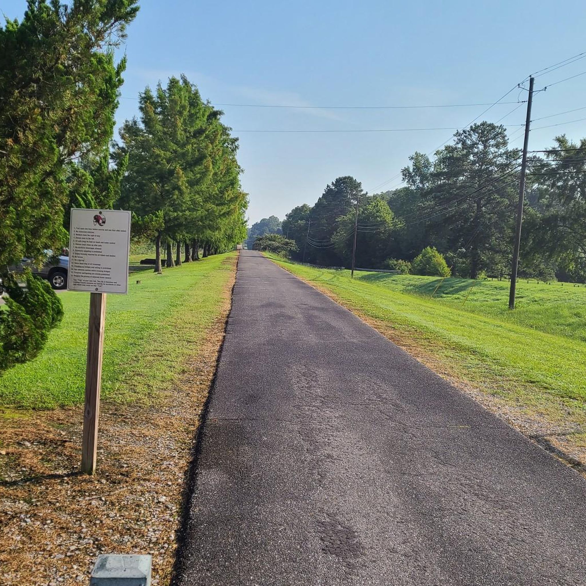
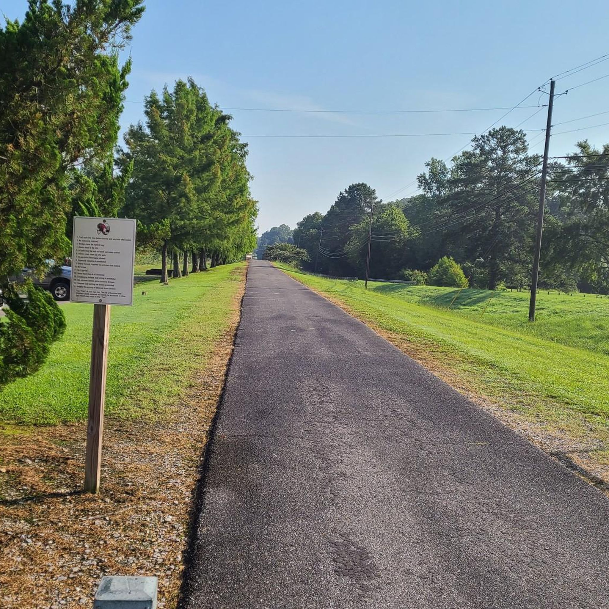
Embark on an easy hike through Choccolocco Park, a serene and picturesque route that winds around a 33-acre lake and a peaceful creek. This trail offers a gentle outdoor experience, covering 1.9 miles (3.1 km) with a minimal elevation gain of just 15 feet (5 metres). You can expect to complete this pleasant journey in about 46 minutes, making it ideal for a quick escape into nature. As you walk, you'll pass through diverse natural habitats, including woods, grasslands, and open fields. Keep an eye out for various bird species, as the park is a notable spot for birding and wildlife observation.
The trails at Choccolocco Park are well-maintained, offering a mix of primarily paved surfaces and some gravel walking paths. You'll find benches strategically placed around the lake, perfect for a short rest or to simply enjoy the views. Covered docks and gazebos also provide shaded spots to relax. The park is designed with accessibility in mind, featuring several trails that are wheelchair friendly, ensuring a welcoming experience for a wide range of visitors. Parking is readily available, making it easy to start your hike.
Beyond the natural beauty, Choccolocco Park offers a unique historical dimension. You can explore an interpretive trail that highlights the rich history of the Muscogee (Creek) Nation. This trail also features a historic Native American mound, providing a glimpse into the region's past. The combination of easy hiking, wildlife viewing, and cultural insights makes this park a distinctive destination for a leisurely outdoor activity.
1
hikers
3.61km
01:00
80m
30m
Embark on an easy 2.2-mile (3.6 km) hike along the Pinhoti Trail, gaining 264 feet (81 metres) in about 59 minutes. This route takes you through rolling hillsides and dense forests, offering a genuine Southern Appalachian wilderness experience. You will pass the tranquil Morgan Lake, a 14-acre lake nestled in a narrow valley. Further along, you can enjoy the charming Little Hillabee Waterfall, which is particularly impressive after a good rain. The trail meanders through native ecosystems, providing a scenic journey.
Accessing this section of the Pinhoti Trail is straightforward, with general parking available right at the Morgan Lake trailhead. As you plan your hike, be aware that the route includes a required crossing of Hillabee Creek. For this reason, it is advisable to bring water shoes, as your feet will likely get wet. This ensures you can comfortably navigate the creek and continue your journey.
This segment of the Pinhoti Trail is nestled within the expansive Talladega National Forest, offering a true taste of the Southern Appalachian wilderness. The trail provides an opportunity to immerse yourself in a natural environment rich with diverse flora and fauna. It is a popular choice for those seeking a quick, accessible outdoor adventure within this significant regional forest.

17.1km
04:51
380m
380m
Embark on the Bomb Dog Loop, a moderate hike stretching 10.6 miles (17.1 km) through an Alabama hardwood forest. You will encounter a mix of rolling terrain and steady climbs, gaining 1233 feet (376 metres) in elevation. The route offers beautiful rock outcroppings as you ascend, providing scenic views. Plan for a rewarding journey that typically takes around 4 hours and 50 minutes to complete at a steady pace, offering a good challenge for a day out.
To begin your adventure, head to the Cold Springs Trailhead, which provides convenient access to the Bomb Dog Loop. Parking information is usually available directly at the trailhead. Keep in mind that this is a multi-use trail, so you will be sharing the path with mountain bikers; stay aware of your surroundings. There are no specific permits or fees required to enjoy this trail, making it an accessible option for your next outing.
What makes this route particularly unique is its dual nature, being primarily designed for mountain biking yet offering a fantastic hiking experience. As you reach the higher sections, you will discover a poignant memorial for Floyd, a beloved local bomb dog, marked by a headstone near the summit. This special landmark adds a touch of local history and character to your hike, distinguishing it from other trails in the region.
8.01km
02:08
90m
80m
Embark on a moderate hiking adventure along the Pinhoti Trail: Pine Glen to FR 523, a 5.0-mile (8.0 km) route that takes you through the diverse landscapes of Talladega National Forest. You will experience dense pine and hardwood forests, traverse ridgelines, and discover shallow hollows and mountain streams. With an elevation gain of 290 feet (88 metres), this hike is estimated to take about 2 hours and 7 minutes, offering a rewarding experience without being overly strenuous. Keep an eye out for the peaceful setting around Shoal Creek, a notable feature along the way. This segment of the Pinhoti Trail provides a true taste of the region's natural beauty. You will find yourself immersed in the quiet atmosphere of the forest. The trail offers a pleasant mix of terrain, making it an engaging journey for hikers.
Planning your visit to the Pinhoti Trail is straightforward, with parking conveniently available at both the Pine Glen and FR 523 trailheads. If you are considering an overnight stay, the Pine Glen Recreation Area offers amenities such as campsites and sanitary facilities. Generally, you can camp on Forest Service lands unless specific restrictions are posted. Always check local regulations before you go to ensure a smooth trip. This makes the trail accessible for both day trips and longer excursions. Starting early in the morning can help you avoid crowds and enjoy the cooler temperatures.
This particular segment of the Pinhoti Trail highlights the rich natural environment of the Talladega National Forest, known for its extensive woodlands and varied topography. The trail itself is part of a much larger, iconic long-distance hiking route, making this a great opportunity to experience a piece of it. As you hike, you might spot local wildlife drawn to the diverse habitats and water sources like Shoal Creek. The blend of pine and hardwood forests creates a dynamic ecosystem that changes with the seasons. This trail offers a chance to connect with nature and appreciate the ecological diversity of the area.
3.48km
00:57
40m
90m
Embark on an easy hike along the Pinhoti Trail to Lower Shoal Shelter, a peaceful journey through pine and hardwood forests. This route covers 2.2 miles (3.5 km) with a gentle elevation gain of 129 feet (39 metres), taking about 57 minutes to complete. You will wind through shadowy vales and hollows, where vibrant greens often emerge on sunny days. The trail's highlight is the Lower Shoal Shelter, beautifully situated by a small rolling stream with a nearby waterfall, offering a serene spot to pause.
This trail is generally accessible and well-marked, making it a suitable option for beginners or families looking for a quick outdoor escape. Parking is typically available at the trailhead, which you will often find located at a ridge summit. Keep in mind that while the initial path to the shelter is a descent, your return trip will involve an uphill climb.
The Pinhoti Trail to Lower Shoal Shelter is nestled within the Talladega National Forest, providing a tranquil escape into nature. This section of the Pinhoti Trail is known for its idyllic setting, especially around the shelter where the stream and waterfall create a picturesque scene. It offers a wonderful opportunity to experience the quiet beauty of the forest.
4.01km
01:06
70m
60m
Embark on an easy hike along a segment of the Pinhoti Trail, stretching 2.5 miles (4.0 km) from Highrock Lake to Pine Glen Campground. You'll experience a peaceful journey through dense pine and hardwood forests, gaining 233 feet (71 metres) in elevation over approximately 1 hour and 6 minutes. The path often follows Shoal Creek, starting gently before you encounter some rolling hills. Keep an eye out for the distinctive native longleaf pine forests and the diverse wildlife that thrives in this Southern Appalachian wilderness.
Accessing this trail is straightforward, with Pine Glen Campground providing direct entry points. This primitive camping area offers basic amenities like pit toilets and picnic tables, making it a convenient starting or ending point. You can also find Highrock Lake nearby, a small 19-acre lake that presents opportunities for fishing before or after your hike. Consider starting early to enjoy the tranquility of the forest.
This route offers a glimpse into the Talladega National Forest, a significant Southern Appalachian wilderness. The presence of native longleaf pine forests highlights the region's unique ecosystem and conservation efforts. It's a great way to connect with nature and explore a part of the longer Pinhoti Trail, known for its scenic beauty and diverse habitats.
4.04km
01:22
340m
0m
Embark on the Dugger Mountain via Pinhoti Trail, a moderate hike that covers 2.5 miles (4.0 km) with a significant elevation gain of 1121 feet (342 metres). You can expect to complete this journey in about 1 hour and 21 minutes. The route offers a true backcountry feel as you follow singletrack paths along a wilderness ridgeline. You will pass through diverse habitats, from dry open slopes to areas with gleaming white boulderfields, enjoying scenic views of surrounding valleys and distant peaks.
When planning your visit, be prepared for rugged climbs and potentially steep, rocky slopes, as the trail is considered challenging. You might encounter fallen trees, known as blowdowns, and patches of poison ivy, especially during late spring. While water sources are usually available along the way, they can dry up during arid periods, so it is wise to carry enough water with you. Always check conditions before you head out.
This trail leads you through the heart of the Dugger Mountain Wilderness, culminating at the summit of Dugger Mountain, which stands as Alabama's second-highest peak. The journey through oak, hickory, and pine forests provides a genuine wilderness experience, making it a notable destination for hikers seeking a rewarding ascent in the region. It's a great way to immerse yourself in the natural environment.
7.82km
02:06
80m
130m
Embark on a moderate hike along the Pinhoti Trail from Coleman Lake to Sweetwater Lake, covering 4.9 miles (7.8 km) with an elevation gain of 259 feet (79 metres). This route typically takes around 2 hours and 6 minutes to complete. As you walk, you will experience a pleasant journey through mixed forests of hardwoods and pines, often following ridge tops and descending into hollows. You will also pass by the picturesque Sweetwater Lake, offering a perfect spot for a break.
For your visit, you will find general parking available at trailheads along this route. The Coleman Lake Recreation Area, located near the start of the trail, provides amenities such as campsites, bathhouses, and picnic areas. The trail is well-maintained, thanks to dedicated volunteers, ensuring a good hiking experience for everyone.
This section of the Pinhoti Trail winds through the Choccolocco Wildlife Management Area, where you might spot white-tailed deer, squirrels, and various bird species. The trail's path often meanders alongside mountain streams, adding to the natural beauty of the Talladega National Forest. It offers a great way to explore the diverse ecosystems of this region.
3.73km
01:01
0m
150m
Explore Sweet Birch Canyon via Pinhoti Trail for an easy hike that takes you through a scenic canyon area. This gentle route covers 2.3 miles (3.7 km) with a minimal elevation gain of just 4 feet (1 metres), making it a perfect choice for a quick outdoor escape. You can expect to spend about 1 hour immersing yourself in the diverse ecosystems of the Southern Appalachian Mountains. As you hike, the path winds through dense pine and hardwood forests, offering glimpses of remnant mountain longleaf and American chestnut trees. Keep an eye out for a cascading creek that might run alongside the trail, adding to the peaceful atmosphere.
Planning your visit to the Sweet Birch Canyon via Pinhoti Trail is straightforward. The Pinhoti Trail is known for being well-marked and maintained, often by dedicated volunteers, which helps ensure a clear path. Parking at the trailhead should be easy to find, as many sections of the Pinhoti Trail are designed with forest road access in mind. You won't need to worry about specific permits or fees for this segment, making it an accessible option for a spontaneous outing.
This particular segment of the Pinhoti Trail offers a unique opportunity to experience the natural beauty of the Southern Appalachian Mountains. While hiking, you might spot local wildlife such as deer and various bird species, adding to the sense of solitude in the wilderness. The trail's gentle nature through the canyon provides a distinct experience within the broader Pinhoti system, highlighting the varied terrain of the Talladega National Forest.
6
hikers
8.32km
02:16
120m
120m
Moderate hike. Good fitness required. Easily-accessible paths. Suitable for all skill levels.
Get access to more routes and recommendations from other explorers.
Already have an account?
Our route recommendations are based on thousands of hikes, rides, and runs completed by other people on komoot.
Start today with a free account
Your next adventure awaits.




Other adventures in Calhoun County

Tips from the Community

Dugger Mountain, nestled in the Dugger Mountain Wilderness, is the second-highest peak in Alabama, reaching 2,140 feet. The USDA Forest Service manages the area and has a large restoration goal following years of logging.
0
0
Choccolocco State Forest got its name from the creek "Choccolocco." In the Creek language, "Chahko" means "shoals," and "logo" means "big." This creek runs north to south, roughly dividing the forest in half. This area was home to Native Americans thousands of years ago, and archaeologists at Jacksonville State University have found artifacts dating back to the Archaic period, approximately 8,000 years ago.
0
0
Shoal Creek was once called Sycamore River, and snakes 68 miles across Tennessee and Alabama. It is a branch of the Tennessee River and was once dotted with mills and distilleries.
0
0
Frequently Asked Questions
How many hiking trails are available in Calhoun County?
There are 12 hiking routes in Calhoun County, offering a diverse range of experiences. You'll find 6 easy trails and 6 moderate trails, with no difficult routes listed in this guide, making it accessible for various skill levels.
What kind of terrain can I expect on Calhoun County trails?
Calhoun County, particularly in Alabama where many of these trails are located, features varied terrain. You'll encounter sections of the Pinhoti Trail winding through the Talladega National Forest, offering mountain views and forested paths. Other areas, like Choccolocco Park, provide flatter, more accessible walking surfaces. In Michigan's Calhoun County, trails often traverse wetlands, hardwood forests, and along rivers.
Are there any family-friendly hiking options in Calhoun County?
Yes, Calhoun County offers several family-friendly options. For a gentle walk, consider the trail at Choccolocco Park, which is an easy route. The Pinhoti Trail: Morgan Lake to Little Hillabee Falls is another easy option, offering a pleasant experience for all ages. In Michigan, the Calhoun County Trailway and Historic Bridge Park are popular for families.
Can I bring my dog on the hiking trails in Calhoun County?
Many trails in Calhoun County are dog-friendly, but it's always best to check specific park or trail regulations before you go. Generally, trails within the Talladega National Forest, including sections of the Pinhoti Trail, welcome leashed dogs. For example, the Bomb Dog Loop is a moderate trail that could be enjoyed with a well-behaved, leashed dog.
Are there any trails with waterfalls in Calhoun County?
While the guide's routes don't explicitly highlight major waterfalls, the Pinhoti Trail: Morgan Lake to Little Hillabee Falls route suggests a smaller waterfall feature. In Calhoun County, Michigan, the Marshall Riverwalk offers views of the South Marshall Dam waterfall, providing a scenic water feature.
What are some notable natural features or landmarks to see while hiking?
Calhoun County boasts several natural highlights. In Alabama, you can explore sections of the Pinhoti Trail that wind through the Talladega National Forest, offering spectacular mountain views. Cheaha State Park, home to Alabama's highest point, is a significant landmark and a trailhead for the Pinhoti. The Mountain Longleaf National Wildlife Refuge protects unique Longleaf Pine stands. In Michigan, the Ott Biological Preserve features spring-fed kettle lakes and extensive wetlands, while the Kalamazoo River offers scenic views along its banks.
Are there any circular hiking routes in Calhoun County?
Yes, for those who prefer to end their hike where they started, the Bomb Dog Loop is a moderate circular route that offers a substantial hiking experience without retracing your steps.
What is the best time of year to hike in Calhoun County?
The spring and fall seasons are particularly pleasant for hiking in Calhoun County, Alabama, offering comfortable temperatures and vibrant foliage. During these times, trails like those in the Talladega National Forest provide spectacular nature and mountain views. Summer can be hot and humid, while winter offers a different, often quieter, experience.
Where can I find parking for trailheads in Calhoun County?
Parking availability varies by trailhead. For routes like Pinhoti Trail: High Point Trailhead to Maxwell Gap, designated parking areas are typically available at the start of the trail sections. Larger parks such as Choccolocco Park also offer ample parking. It's advisable to check specific route details or park websites for precise parking information before your visit.
What do other hikers enjoy most about hiking in Calhoun County?
The area is highly rated by the komoot community, with an average score of 4.75 stars. Reviewers often praise the natural beauty and the variety of trails available, from easy walks to more challenging sections of the Pinhoti Trail. The opportunity to explore diverse landscapes, from forests to open parks, is frequently highlighted.
Are there any longer, more challenging hikes in Calhoun County?
While this guide features moderate as its highest difficulty, some routes offer a good distance. The Bomb Dog Loop, at over 17 kilometers, provides a substantial moderate challenge. Sections of the Pinhoti Trail, such as Pinhoti Trail: High Point Trailhead to Maxwell Gap, also offer significant elevation gain and distance for a rewarding experience.
What kind of wildlife can I expect to see on the trails?
Calhoun County's diverse ecosystems support a variety of wildlife. In Alabama, the Mountain Longleaf National Wildlife Refuge is excellent for birdwatching. Throughout the Talladega National Forest, you might spot deer, various bird species, and smaller mammals. In Michigan, the Ott Biological Preserve and areas along the Kalamazoo River are known for diverse flora and fauna, including unique plant species in prairie fens and various wetland birds.
Most popular routes in Calhoun County

Get inspired with the komoot mobile app


Didn’t find what you were looking for?
Check out more Hikes throughout Calhoun County below and find the perfect route in your destination.
Explore more
Browse the best Hikes in other regions.
