The best road cycling routes in Polk County
4.4
(14)
861
riders
66
rides
Road cycling in Polk County, Oregon, offers a network of routes through varied landscapes. The region features rolling terrain with moderate elevation gains, suitable for diverse cycling experiences. Routes often connect towns and pass through areas with parks and local landmarks. The landscape provides a mix of open roads and scenic sections, catering to different preferences for road cyclists.
Best road cycling routes in Polk County
- The most popular road cycling route is Salem to Stayton loop, a 44.5…
Last updated: May 10, 2026
28
riders
89.2km
04:54
230m
230m
Cycle the moderate 55.4-mile Willamette Valley Scenic Bikeway Loop through Oregon's wine country, passing orchards, vineyards, and historic
4.0
(2)
17
riders
46.4km
02:32
130m
130m
Cycle the moderate 28.8-mile Willamette Valley Scenic Bikeway: Willamette Mission Park Loop through diverse landscapes and along the Willame

Sign up for free
2
riders
51.5km
02:10
140m
140m
Cycle the moderate 32.0-mile Keizer to Gallon House Covered Bridge loop, enjoying Willamette Valley views and historic landmarks.
1
riders
141km
05:40
430m
430m
Cycle the challenging 87.5-mile Willamette Valley Scenic Bikeway Loop, gaining 1402 feet through Oregon's vineyards and pastoral landscapes.
71.5km
03:05
330m
330m
Cycle the moderate 44.5-mile Salem to Stayton loop, exploring the Mid-Willamette Valley's farmlands and historic covered bridges.
35
riders
40.4km
01:44
170m
170m
Easy road ride. Great for any fitness level. Mostly well-paved surfaces and easy to ride.
5.0
(1)
8
riders
43.8km
02:13
330m
330m
Moderate road ride. Good fitness required. Mostly well-paved surfaces and easy to ride.
12
riders
7.82km
00:20
30m
30m
Easy road ride. Great for any fitness level. Mostly well-paved surfaces and easy to ride.
13
riders
35.0km
01:35
120m
120m
Easy road ride. Great for any fitness level. Mostly well-paved surfaces and easy to ride.
5
riders
41.1km
01:46
140m
140m
Easy road ride. Great for any fitness level. Mostly well-paved surfaces and easy to ride.
Get access to more routes and recommendations from other explorers.
Sign up for free
Already have an account?
Our route recommendations are based on thousands of hikes, rides, and runs completed by other people on komoot.
Start today with a free account
Your next adventure awaits.
Login or Signup




Tips from the Community

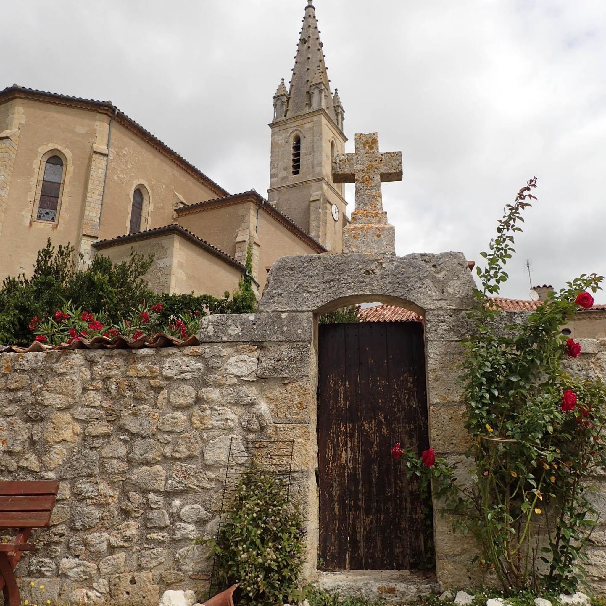
Just west of Salem, Eola Hills Legacy Estate Vineyard is a fun detour for bikers looking to unwind with a view. Open Friday to Sunday from 12–5 pm, the tasting room offers wine flights, glasses, bottles, sparkling, and dessert wines. Enjoy sweeping vineyard views from the patio, bring your own food, or take a short “wiking” hike around the property.
0
0
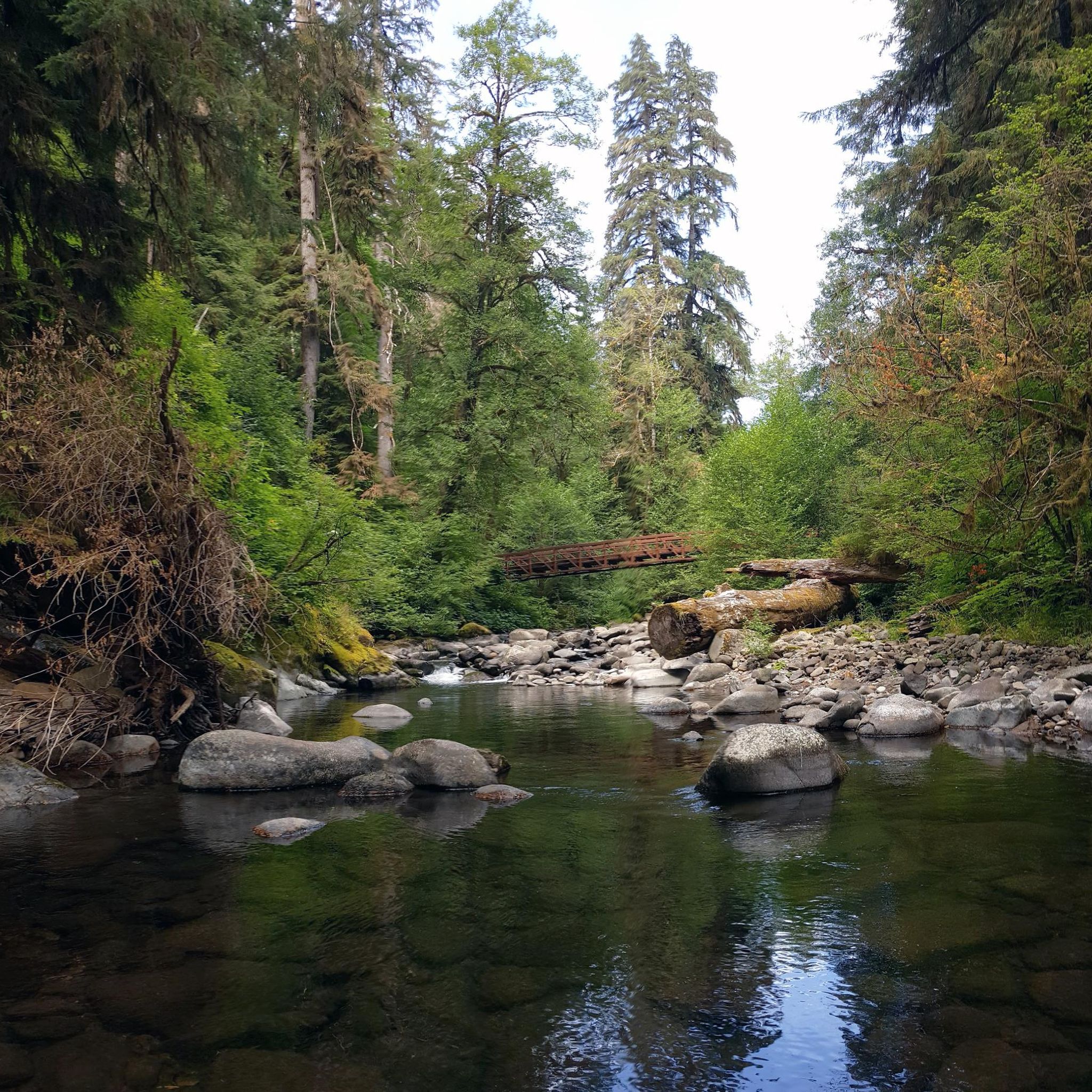
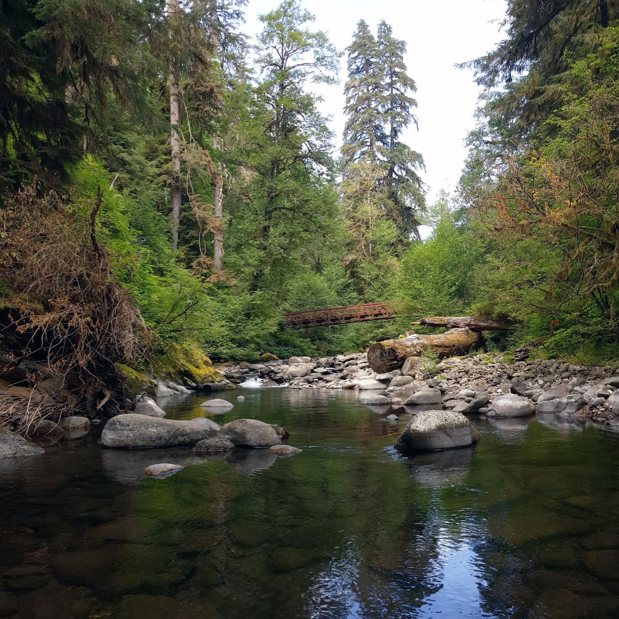
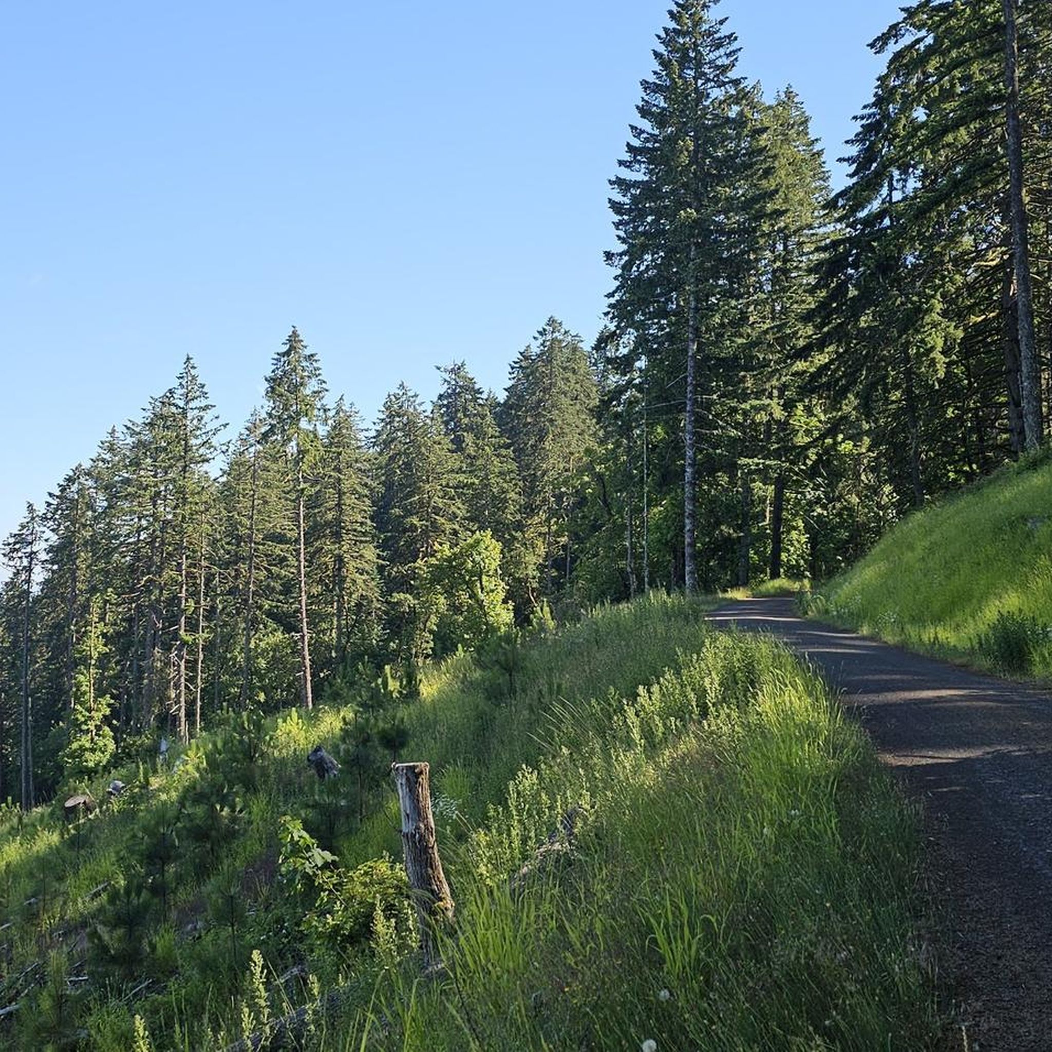
This bridge leads cyclists over Highway 22, and there is a small outcrop to take a break and enjoy some views.
0
0


Riverfront Park in Salem is a scenic area with paved trails, boat docks, picnic shelters, wide open fields, and numerous sculptures. The park was once an industrial area that has since been converted. The entirety of the trails are ADA compliant, making this area accessible to wheelchairs and strollers.
0
0
Riverfront Park in Salem is a scenic area with paved trails, boat docks, picnic shelters, wide open fields, and numerous sculptures. The park was once an industrial area that has since been converted. The entirety of the trails are ADA compliant, making this area accessible to wheelchairs and strollers.
0
0
Minto-Brown Island Park is the largest park in Salem Oregon. At 1,205 acres, this park is a great option for hikers, runners, and adventurers to get out in nature without having to venture too far from the city. The park has a nice mix of wooded areas, open fields, and waterfront paths.
1
0

At over 100 acres, Wallace Marine Park features a number of different paths that circle around the sports complex on the property and that get right up next to the Willamette River. You can do your entire run within the park, or you can just add on a park loop to your jog.
0
0

Located in the town of Stayton, this 10 acre park is a good stop point on a ride for water and restrooms. It is also worth the time to take a look at the historic Stayton-Jordan covered bridge. Originally built in 1937, it was relocated to Stayton from Linn County in 1988. It burned in 1994 and was restored to its orginal structure and is a scenic centerpiece of the park.
0
0
Frequently Asked Questions
What kind of terrain can I expect on road cycling routes in Polk County, Oregon?
Polk County, Oregon, offers road cycling routes characterized by rolling hills and moderate elevation gains. The landscape provides a mix of open roads and scenic sections, often connecting local towns and passing through areas with parks and local landmarks. This varied terrain is suitable for diverse cycling experiences.
Are there road cycling routes suitable for beginners or those looking for an easy ride?
Yes, Polk County, Oregon, has several easy road cycling routes. For example, the Minto-Brown Island Park – Union Street Bridge loop from Independence is an easy 25.1-mile trail that takes you through riverfront areas and local parks. Another easy option is The Brew Coffee and Taphouse – Ovenbird Bakery loop from Independence, covering about 21.7 miles.
What are some popular moderate road cycling routes in Polk County, Oregon?
For those seeking a moderate challenge, the Salem to Stayton loop is a popular choice, spanning 44.5 miles with rolling hills. Another favorite is the Minto-Brown Island Park – Union Street Bridge loop from Salem, a 27.4-mile route offering a mix of urban and natural scenery, including views of the Willamette River.
What can I see along the road cycling routes in Polk County, Oregon?
Many road cycling routes in Polk County, Oregon, offer scenic views and pass by interesting landmarks. You might encounter natural features like the Luckiamute Landing or cross historic structures such as the Union Street Bridge. Some routes also pass by local attractions like the Eola Hills Vineyard Tasting Room.
Are there any loop routes for road cycling in Polk County, Oregon?
Yes, many road cycling routes in Polk County are designed as loops, offering a convenient way to start and end your ride in the same location. Examples include the Salem to Stayton loop and the Minto-Brown Island Park – Union Street Bridge loop from Independence.
What do other road cyclists enjoy most about road cycling in Polk County, Oregon?
The road cycling routes in Polk County, Oregon, are highly rated by the komoot community, with an average score of 5.0 stars from over 100 road cyclists. Riders often praise the varied terrain, the scenic river views, and the routes that connect charming local towns, providing a diverse and engaging cycling experience.
Are there any long-distance road cycling routes in Polk County, Oregon?
While many routes are moderate in length, options like the Salem to Stayton loop at 44.5 miles (71.5 km) offer a good distance for a longer ride. For an even more extended journey, the Ovenbird Bakery – The Brew Coffee and Taphouse loop from Independence covers approximately 51 miles (82 km).
What is the best time of year for road biking in Polk County, Oregon?
While specific seasonal data isn't provided, Oregon's Willamette Valley region, where Polk County is located, generally offers pleasant cycling conditions from late spring through early autumn (May to October). During these months, you can expect milder temperatures and less rainfall, making for more enjoyable rides through the rolling hills and scenic landscapes.
Are there family-friendly road cycling options in Polk County, Oregon?
Many of the easy-grade routes in Polk County, Oregon, are suitable for families, especially those with some cycling experience. Routes that pass through local parks and offer relatively flat sections, such as the Ovenbird Bakery – The Brew Coffee and Taphouse loop from Suver, can be great for a family outing.
Where can I find parking for road cycling routes in Polk County, Oregon?
Specific parking details for each route are best found on the individual route pages. However, routes that start or pass through towns like Salem, Independence, or Stayton often have public parking available near trailheads or in town centers. Look for parking options near parks or local businesses mentioned in the route descriptions.
Are there any routes that offer views of the Willamette River?
Yes, several routes provide scenic views of the Willamette River. The Minto-Brown Island Park – Union Street Bridge loop from Salem is a great example, offering a mix of urban and natural scenery along the river. Another option is the Willamette River Bridge – Oregon State Capitol Park loop from Salem Audubon Nature Reserve.
How many road cycling routes are available in Polk County, Oregon?
There are 16 road cycling routes documented in Polk County, Oregon, on komoot. These include 9 easy routes and 7 moderate routes, providing options for various fitness levels and preferences.
Most popular routes in Polk County
Most popular attractions in Polk County

Get inspired with the komoot mobile app


Didn’t find what you were looking for?
Check out more Road cycling routes throughout Polk County below and find the perfect route in your destination.
Explore more
Browse the best Road cycling routes in other regions.
