The best running trails in Deschutes County
4.9
(26)
3,350
runners
285
runs
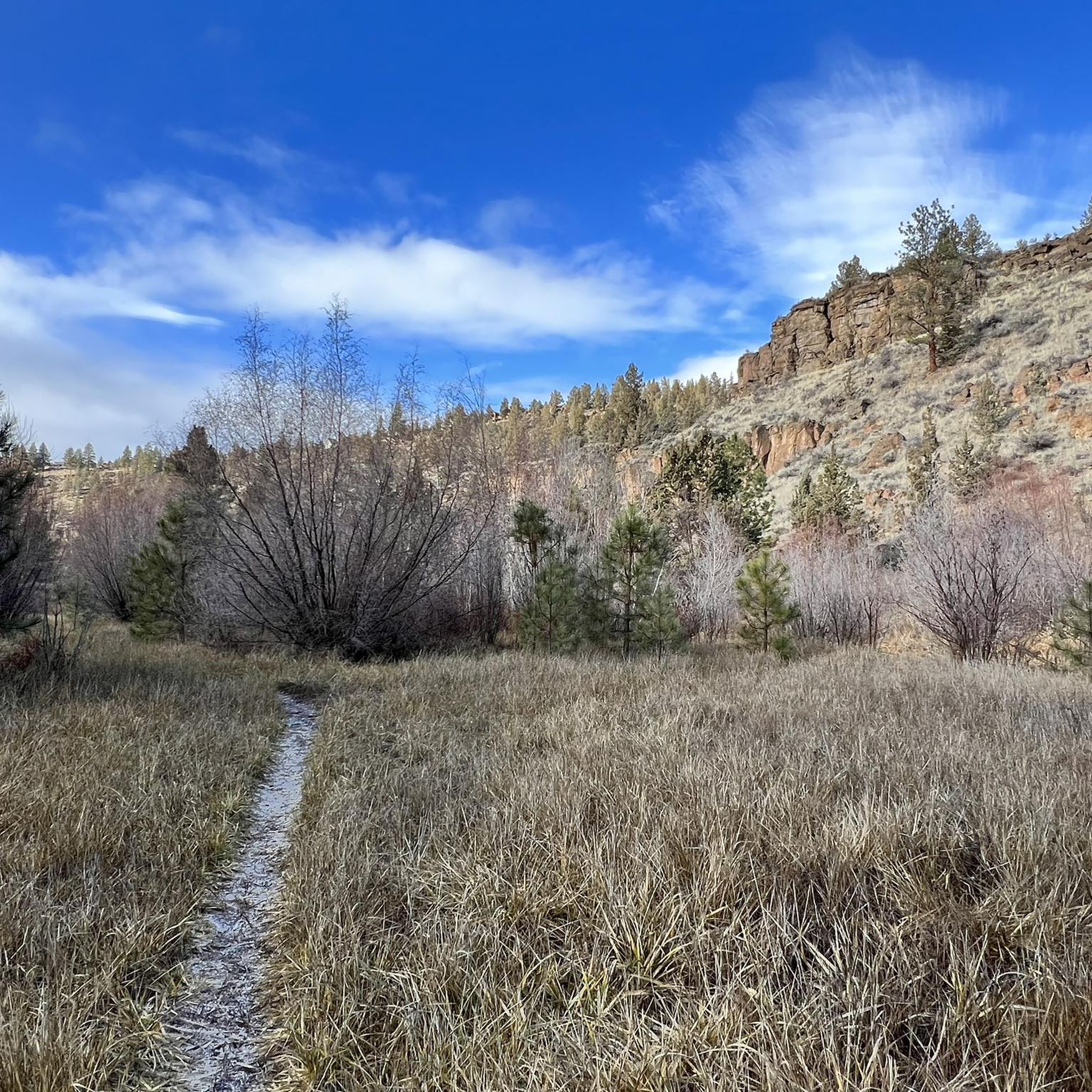
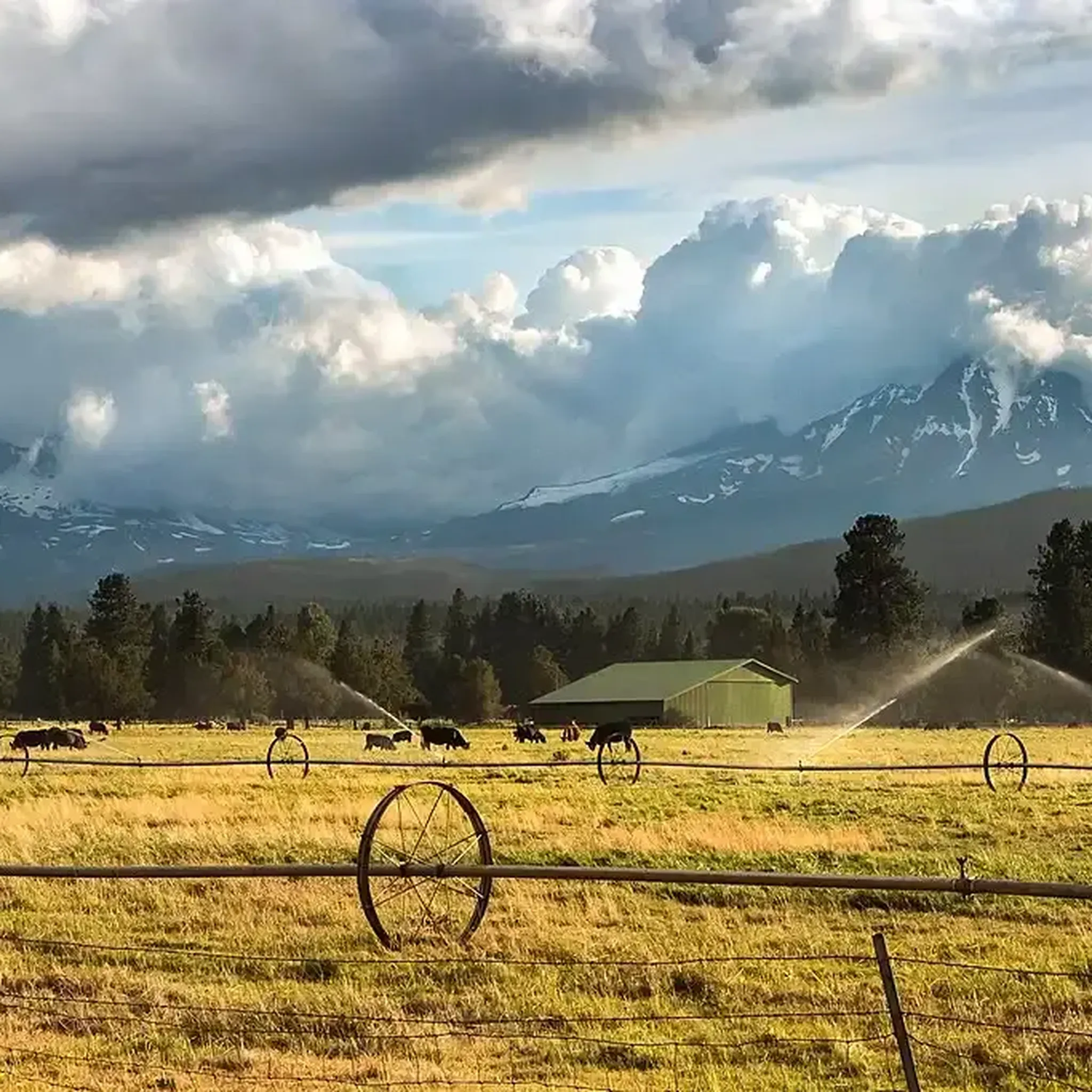
Jogging routes in Deschutes County offer a diverse range of environments, from high desert and volcanic formations to extensive forest trails and pristine waterways. The region is characterized by its unique blend of landscapes, including the Deschutes River, the vast Deschutes National Forest, and various volcanic features. This varied terrain provides numerous opportunities for runners to explore scenic pathways and challenging ascents.
Best jogging routes in Deschutes County
- The most popular jogging route is Shevlin Park Loop, a 4.7 miles (7.6 km) trail that takes 51 minutes to complete, winding through a popular local park.
- Another top favourite among local runners is Bend 5k Run — Bend, a moderate 3.1 miles (5.0 km) path that offers a quick urban run with minimal elevation gain.
- Local runners also love the Summit Trail loop, a 7.2 miles (11.6 km) trail leading through varied terrain with significant elevation, often completed in about 1 hour 30 minutes.
- Jogging in Deschutes County is defined by river trails, volcanic landscapes, and forest paths, with options ranging from easy, flat routes to more challenging trails with considerable elevation.
- The routes in Deschutes County are highly rated by the komoot community with an average score of 4.8 stars from more than 20 reviews. More than 3,000 runners have used komoot to explore Deschutes County's varied terrain.
Last updated: August 3, 2026
5.0
(1)
75
runners
5.03km
00:31
20m
20m
Lace up for the Bend 5k Run, a moderate jogging route that takes you along the scenic Deschutes River. This 3.1-mile (5.0 km) path offers a peaceful experience, especially as you pass Farewell Bend Park, where you can enjoy the sounds of the water. With a gentle elevation gain of just 53 feet (16 metres), you can expect a mix of paved and unpaved surfaces, including sections of dirt and gravel, making for a varied and enjoyable run that typically takes around 31 minutes to complete.
Planning your visit to this Central Oregon gem is straightforward, as the trails in Bend are generally well-maintained and easily accessible. You can enjoy this route year-round, thanks to the region's often sunny weather, which makes it a great option for any season. Parking is usually available near the trailheads, ensuring a convenient start to your jogging adventure.
This route provides a fantastic opportunity to experience the natural beauty of Bend on foot, offering continuous scenic views, particularly along the riverbanks. It's a prime example of the accessible outdoor recreation that makes Central Oregon so appealing, allowing you to immerse yourself in the local environment without venturing far from the city.
71
runners
7.62km
00:52
70m
70m
Embark on the Shevlin Park Loop for a refreshing jogging experience through old-growth Ponderosa pine forests. This moderate route spans 4.7 miles (7.6 km) and involves a gentle elevation gain of 244 feet (74 metres), typically completed in about 51 minutes. As you jog, you will follow the winding path of Tumalo Creek, enjoying its refreshing views and crossing several bridges, with the sounds of nature surrounding you. Keep an eye out for vibrant wildflower displays in season or the striking yellow of larch trees in the autumn, and you might even catch glimpses of the distant Cascade Mountains.
Planning your visit to Shevlin Park is straightforward, as the area offers ample parking right at the trailhead. You will find convenient amenities such as restrooms and picnic areas, and water fountains are available along the trail to help you stay hydrated during your jog. The park is open year-round, allowing for seasonal exploration, but be mindful that winter snow can make certain sections of the trail treacherous. If you plan to bring your canine companion, they are welcome to join you, provided they remain on a leash throughout the park.
Shevlin Park Loop stands out as a popular local trail, offering a rewarding outdoor experience suitable for joggers of varying skill levels. The route's natural setting, characterized by its mature Ponderosa pine ecosystem and the constant presence of Tumalo Creek, provides a serene backdrop for your activity. This trail is a prime example of how the region integrates accessible recreation with beautiful natural landscapes, making it a cherished spot for both quick workouts and leisurely jogs in a tranquil environment.

Sign up for free
63
runners
6.22km
00:52
250m
250m
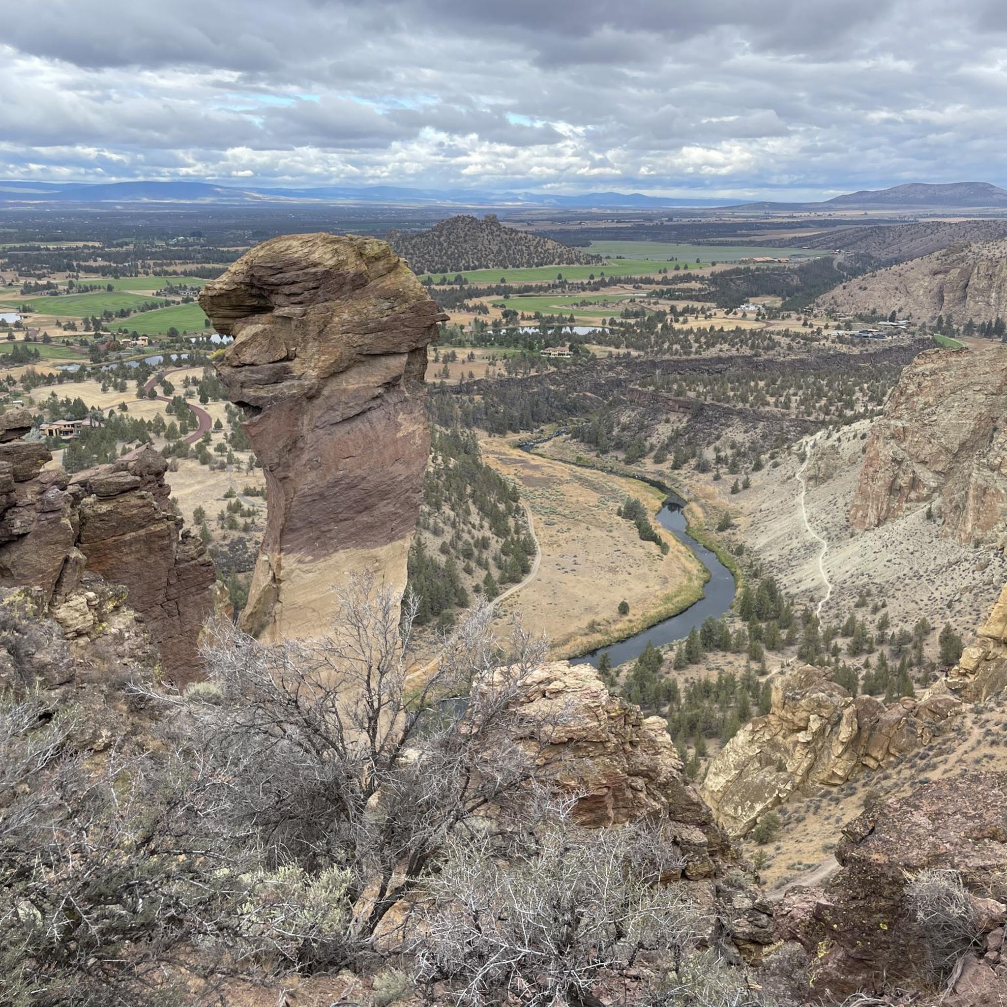
The Misery Ridge and River Trail Loop offers a moderate jogging experience through Smith Rock State Park, combining challenging ascents with peaceful riverside paths. You'll cover 3.9 miles (6.2 km) and gain 812 feet (247 metres) in elevation, typically completing the route in about 51 minutes. Along the way, you'll be treated to panoramic views of deep river canyons and dramatic rock formations, including a close-up of the iconic Monkey Face.
When planning your visit, be aware that the climb up Misery Ridge features steep inclines that can be slick with sand and loose pebbles; trekking poles might be helpful for stability. This route is very popular, especially the Misery Ridge section, so expect to share the path with many other visitors. Consider an early start to avoid the busiest times and enjoy a more serene experience.
This loop is a highlight within Smith Rock State Park, known for its unique geological features and as a world-renowned climbing destination. The trail showcases a striking contrast between the high desert landscape and the lush riparian zones along the winding Crooked River. It's a fantastic way to experience the park's diverse environment and see why it draws so many outdoor enthusiasts.
5.0
(1)
61
runners
11.6km
01:31
350m
350m
If you are looking for a challenging jogging route with incredible scenery, the Summit Trail loop delivers. This difficult 7.2-mile (11.6 km) loop will have you gaining 1150 feet (351 metres) in elevation, typically taking around 1 hour and 30 minutes to complete. As you jog, you will experience continuous, expansive views of towering cliffs and dramatic rock formations, including the distinctive Monkey Face. The meandering Crooked River flows far below, adding to the dramatic landscape. On clear days, the panoramic vistas stretch out to distant Cascade peaks like Mount Jefferson and the Three Sisters, making every effort worthwhile.
Plan your visit to the Summit Trail loop during spring or fall to avoid the intense heat of summer, as much of the route is exposed to direct sunlight. Smith Rock State Park provides ample parking for visitors, making access straightforward. Be aware that while the jogging trail itself might not close, seasonal climbing closures sometimes happen in the park to protect nesting raptors, which could affect your overall experience. Always check park conditions before heading out.
This route is a substantial workout for runners seeking a significant challenge within Smith Rock State Park. The park is renowned for its unique geological features, formed by volcanic activity and erosion over millions of years, creating the striking rock formations you will encounter. It is a popular destination for outdoor enthusiasts, offering a diverse landscape that supports various activities beyond jogging, from rock climbing to hiking.
34
runners
17.3km
01:52
90m
90m
Embark on a challenging jogging adventure along the Deschutes River Trail, stretching 10.8 miles (17.3 km) from Dillon Falls to Benham Falls. You will experience continuous, beautiful vistas of the Deschutes River, a designated National Wild & Scenic River, as you gain 297 feet (90 metres) in elevation. The route weaves through diverse environments, including forests and tranquil meadows, offering excellent viewpoints of the river's power and the area's distinct geology. Expect a difficult but rewarding experience, taking around 1 hour and 52 minutes to complete.
When planning your visit, be aware that some sections of this rocky forest trail, especially near the falls, might require careful footing. The terrain is natural and untamed in places, so watch for potential slippery conditions depending on the season. This trail offers a true sense of wilderness, yet it remains easily accessible from Bend, Oregon, making it a convenient escape into nature.
This segment of the Deschutes River Trail is notable for showcasing impressive natural features like Dillon Falls and Benham Falls, where the river dramatically narrows and cascades through volcanic canyons. You will encounter unique volcanic rock formations along the way, highlighting the region's distinct geological history. The trail provides a unique opportunity to connect with the raw power and beauty of the Deschutes River ecosystem.
32
runners
14.1km
01:29
70m
70m
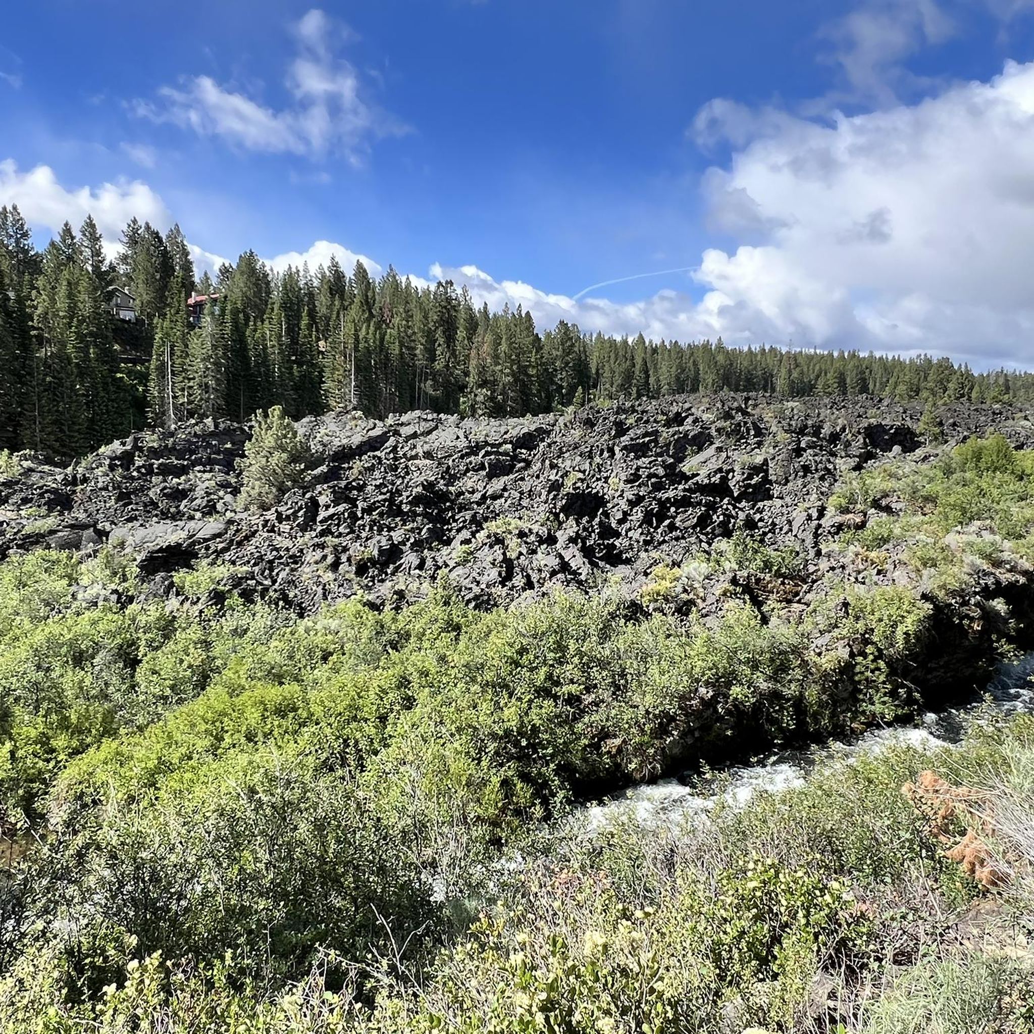
Embark on a moderate jogging route along the Deschutes River Trail, where you'll experience Central Oregon's diverse natural beauty. This 8.8-mile (14.1 km) path winds alongside the crystal-clear Deschutes River, offering views of ancient lava flows, juniper-covered hills, and towering ponderosa pines. You can expect to gain about 214 feet (65 metres) in elevation over approximately 1 hour and 28 minutes of jogging. Keep an eye out for dramatic canyon views and the exhilarating sights of waterfalls like Upper Falls and Dillon Falls as you make your way along the river.
The Deschutes River Trail is easily accessible, featuring various access points along its extensive system, so you can choose where to begin your jogging adventure. General parking is available at the trailheads, making it convenient to start your journey. The trail's diverse segments allow you to customize your run, whether you prefer smooth pathways or more rugged singletrack sections. There are no specific warnings regarding road closures or permit requirements noted for this route.
This trail is a fantastic opportunity to immerse yourself in the natural environment of Central Oregon, providing a chance to observe local wildlife such as deer, eagles, and otters. Beyond the scenic beauty, you might also catch glimpses of whitewater rafters navigating the rapids, adding an extra layer of excitement to your outing. The route's blend of natural features and recreational activities makes it a notable destination for outdoor enthusiasts in the region.
32
runners
6.58km
01:02
400m
400m
Tumalo Mountain Trail #38 offers a difficult jogging experience, covering 4.1 miles (6.6 km) with a significant 1318 feet (402 metres) of elevation gain. As you ascend, you will jog through a dense hemlock and pine forest, noticing the path grow steeper closer to the summit. The effort is rewarded with spectacular panoramic views from the top, where you can see iconic peaks like Mount Bachelor, the Three Sisters, and Broken Top, alongside sweeping vistas of Bend and Sunriver. This challenging route typically takes around 1 hour and 2 minutes to complete.
When planning your visit to Tumalo Mountain Trail #38, be aware of the required parking permits. From May 1 to October 30, you will need a Northwest Forest Pass to park at the trailhead. During the winter months, specifically from November 1 to April 30, a Sno-Park pass is necessary instead. Always check local conditions before heading out, especially during seasonal transitions, to ensure you have the correct pass and are prepared for the weather.
This trail is situated within the vast Deschutes National Forest, offering a unique glimpse into the region's natural environment. Near the summit, you will encounter distinctive red lava rocks, which are part of a fragile ecosystem. These geological features add to the trail's character and highlight the volcanic history of the area, making the views from the top even more meaningful as you survey the landscape shaped by these forces.
22
runners
19.2km
02:30
470m
470m
If you are looking for a challenging jogging adventure, the Green Lakes and Broken Top Loop offers a difficult 11.9-mile (19.2 km) route through varied terrain. You will gain 1528 feet (466 metres) in elevation, which typically takes around 2 hours and 30 minutes to complete. Expect to navigate everything from smooth paths to aggressive climbs over loose rock and scree, all while enjoying the stunning alpine scenery around Green Lakes and the glacier-carved slopes of Broken Top.
Planning your visit requires attention to permits, as both day trips and overnight stays need them between June 15th and October 15th. Additionally, you will need a parking pass for the trailhead, so make sure to secure these before you head out. This route is best suited for experienced trail runners who are prepared for its demanding nature and the necessary pre-trip arrangements.
This loop truly immerses you in the Three Sisters Wilderness, providing a constantly changing panorama. You will encounter not only Green Lakes but also No Name Lake, set against a dramatic backdrop of volcanic landscapes. The trail also features numerous cascading waterfalls along Fall Creek and offers expansive views of surrounding Cascade Peaks, including South Sister, making it a memorable experience.
15
runners
4.20km
00:30
70m
70m
The Juniper, Sage Flat, and Canyon Loop offers an easy jogging experience through diverse landscapes. This route covers 2.6 miles (4.2 km) with a gentle elevation gain of 232 feet (71 metres), making it a perfect choice for a quick outing. You can expect to complete it in about 29 minutes, enjoying views that range from open meadows to dense juniper forests and the rugged Deschutes River Canyon.
Located within the Riley Ranch Nature Reserve, this trail system provides accessible options for your visit. Parking is generally available at the reserve, offering convenient access to the trailhead. The interconnected loops allow you to customize your run, whether you prefer a shorter jog or want to link up with other trails for a longer adventure.
As you jog, keep an eye out for wildlife like deer and rabbits, especially when you follow the Deschutes River through the ponderosa pine forest on the Canyon Loop. The upper sections of the trail provide panoramic vistas of the Deschutes River Canyon and distant Cascade Mountain peaks, including Mt. Bachelor, from spots like the Ben Newkirk Mountain Overlook. You might even discover old cabin ruins, adding a touch of history to your run.
16
runners
7.07km
00:49
50m
50m
Embark on the Dry Canyon Trail for a moderate jogging experience that blends urban convenience with high desert scenery. This 4.4 miles (7.1 km) route offers a gentle 164 feet (50 metres) of elevation gain, making it achievable in about 48 minutes. As you jog, you'll pass under the distinctive wide arches of the Maple Avenue Bridge, enjoying views of juniper groves and striking rock cliffs.
Accessing the trail is straightforward, with multiple entry points available for your convenience. You can find restrooms, picnic spots, and water refill stations along the route, ensuring a comfortable outing. To enjoy a more peaceful jog and avoid larger crowds, consider starting your adventure early in the morning.
The Dry Canyon Trail is notable for its unique ecosystem, showcasing a blend of natural high desert beauty within an accessible urban setting. Keep an eye out for local wildlife such as marmots, magpies, and hawks, especially in the more secluded natural sections. This route provides a great opportunity to connect with nature without venturing far from the city.
Get access to more routes and recommendations from other explorers.
Sign up for free
Already have an account?
Our route recommendations are based on thousands of hikes, rides, and runs completed by other people on komoot.
Start today with a free account
Your next adventure awaits.
Login or Signup
Popular around Deschutes County
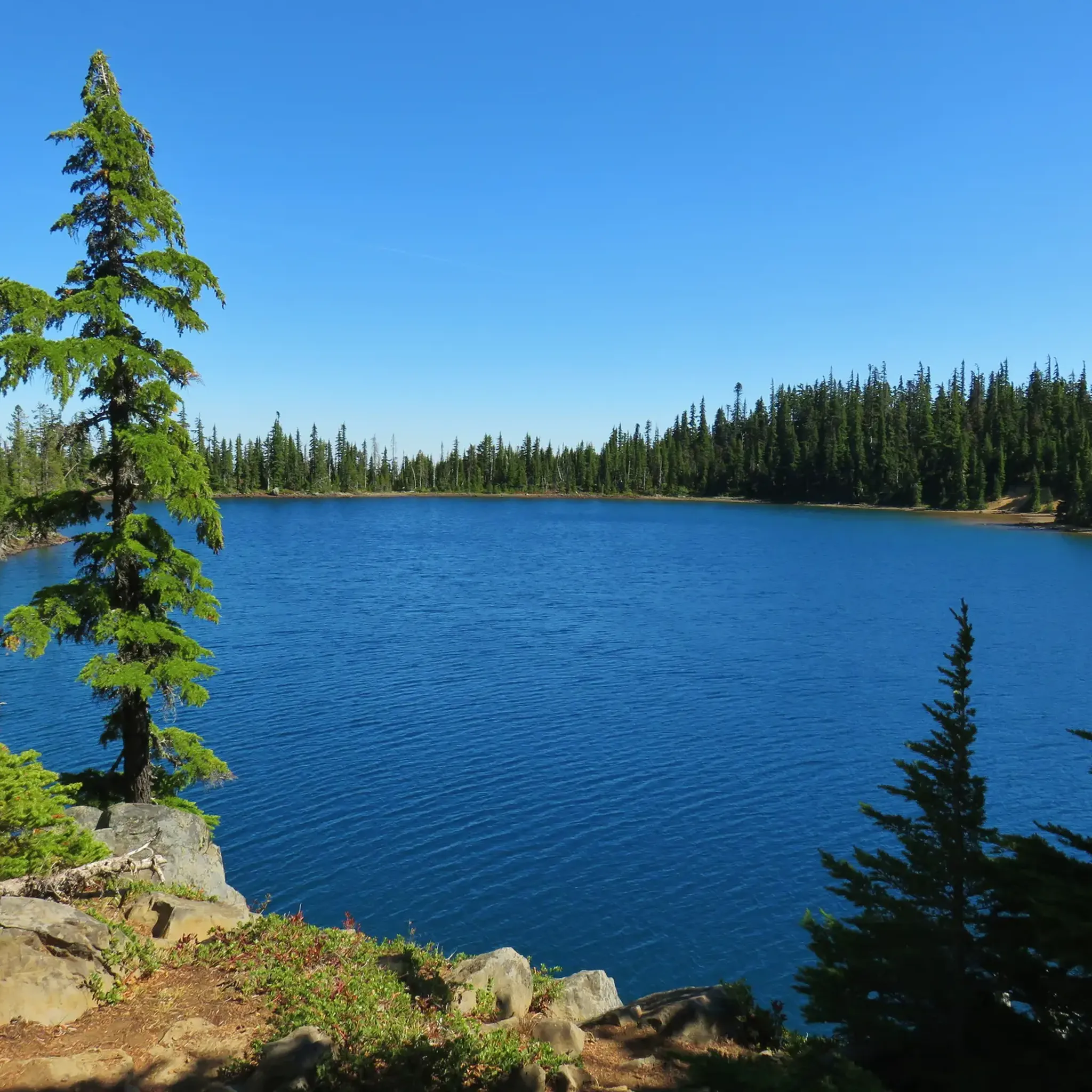
Running Trails in Deschutes National Forest
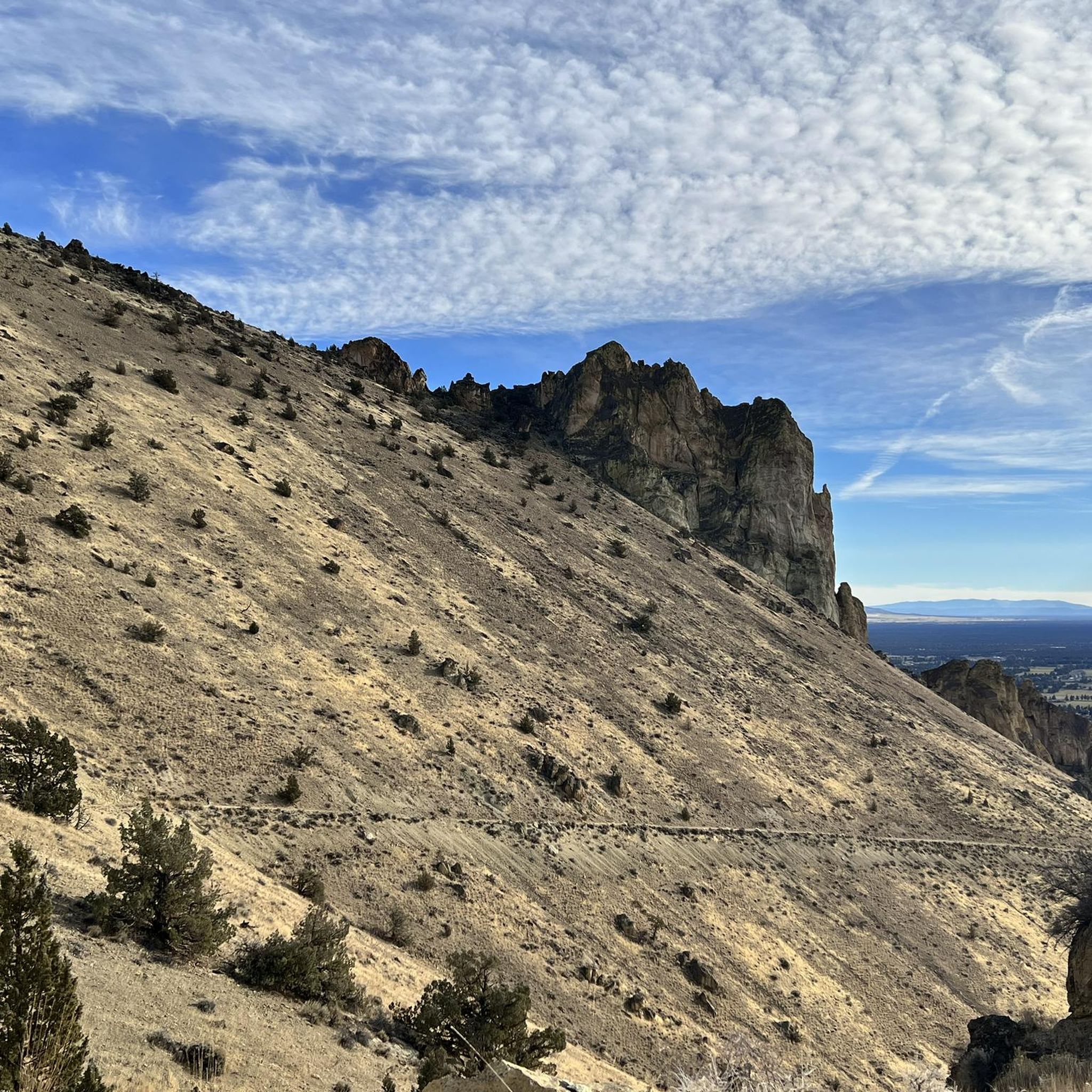
Running Trails around Redmond
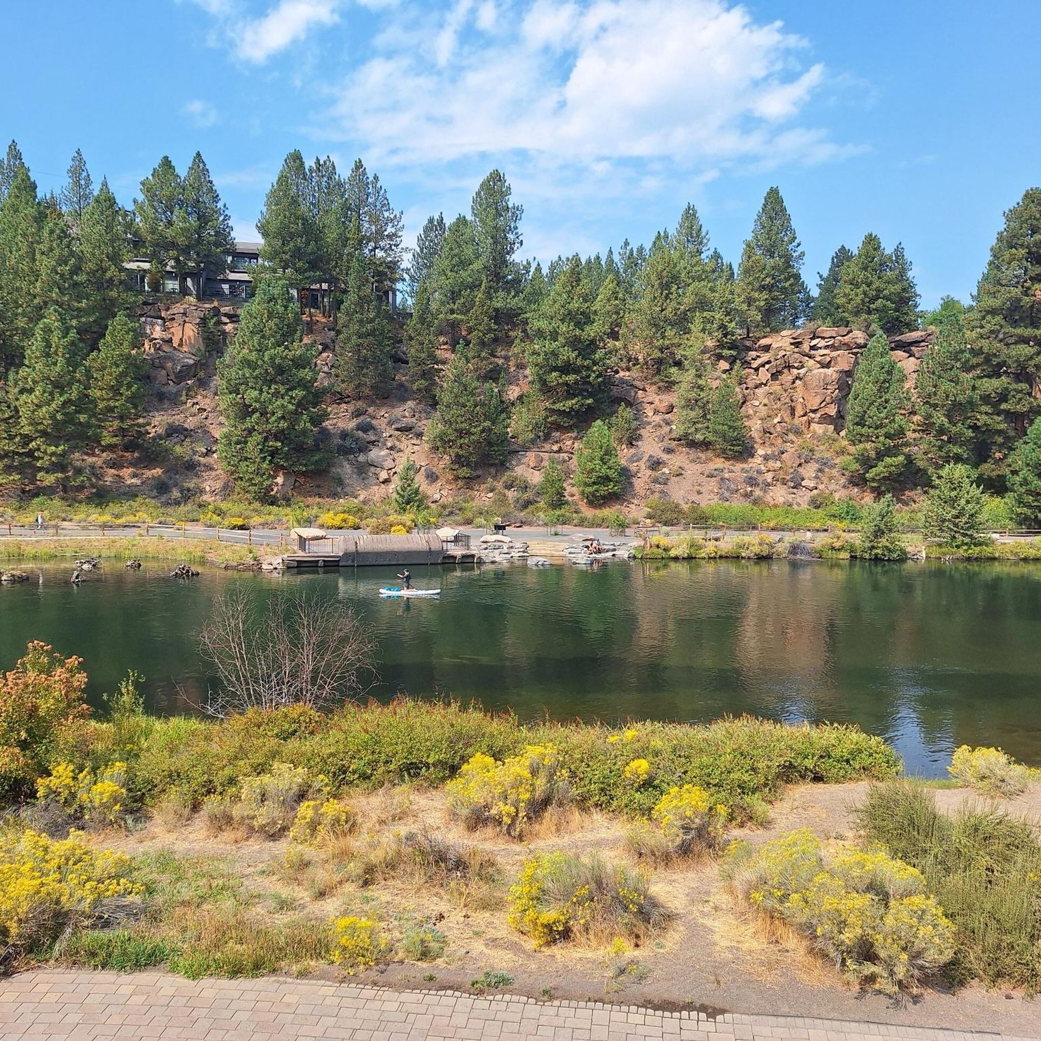
Running Trails around Bend
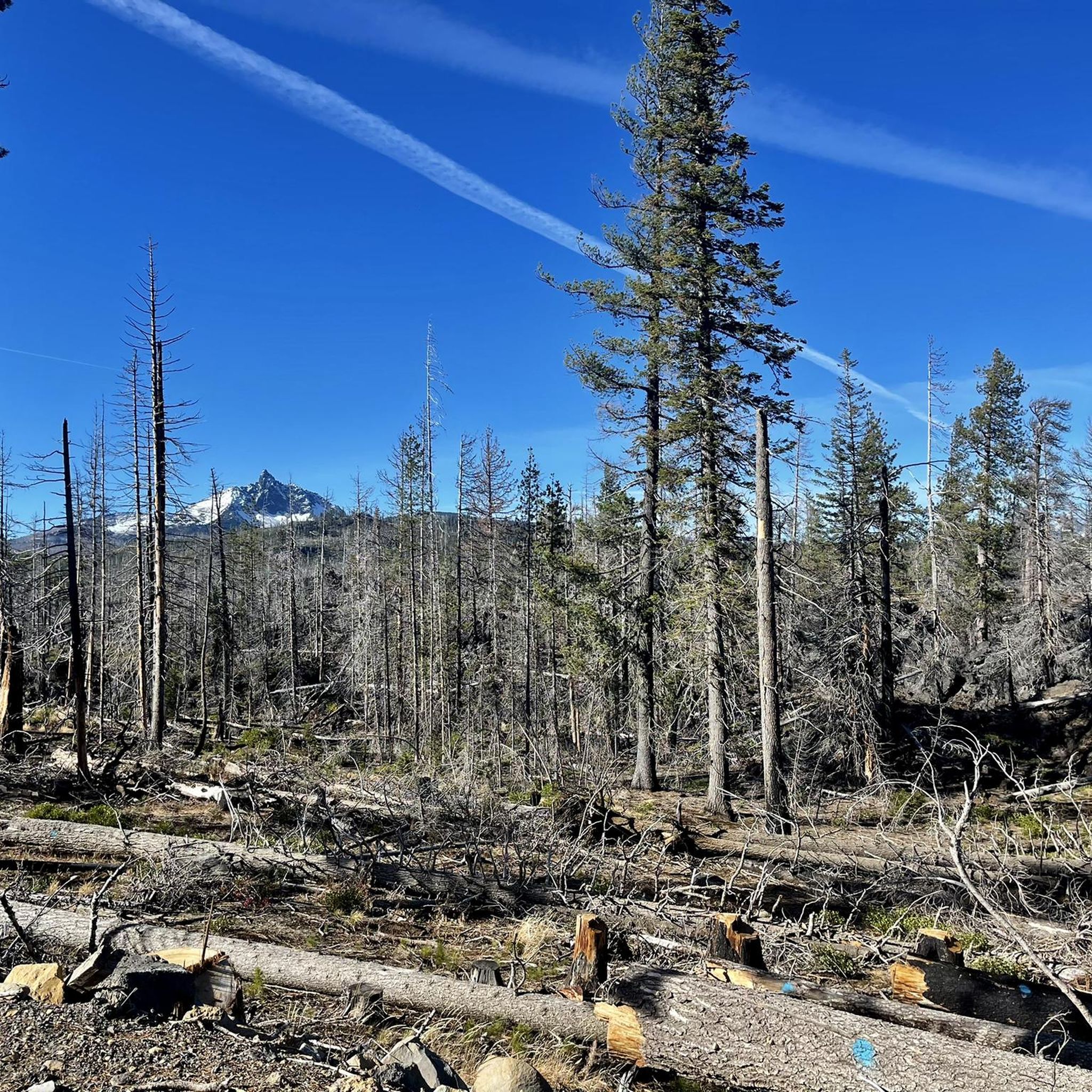
Running Trails around Black Butte Ranch
Running Trails around Eagle Crest
Running Trails around Sisters
Running Trails around Deschutes River Woods
Running Trails in Smith Rock State Park
Running Trails around Terrebonne

Running Trails around Tumalo
Other adventures in Deschutes County


Tips from the Community

Strongly suggest you walk this trail clockwise. This means you descend on steps rather than very slippy gravel & sand.
0
0


The greenest I have ever seen the lakes has been under cloudy skies, so don’t be afraid to hike this one when the skies are gray. Green Lakes is not typically accessible until mid-June due to snow. A Central Cascades permit is required for hiking to Green Lakes between June 15 and October 15.
0
0
A popular park with miles of hiking, running and mountain biking trails both on trail and pavement. Tumalo Creek offers a place to cool off on a warm day.
0
0
The Crooked River meanders slowly through the Smith Rocks, providing a home for herons, mergansers, geese and other birds.
0
0
Parking is available along the road. A small beach near the bridge is used for launching a float and for dipping in to the refreshing waters of the Deschutes River. Hike or run the trails leading off in all directions.
0
0
The climb to Green Lakes follows Falls Creek, and you'll get a lot of fun views of small waterfalls as you climb. Falls Creek Falls is one of the larger features you'll see in the first part of the hike.
0
0
Look closely on Monkey Face for climbers. You'll often see them resting in the "mouth".
2
0
Frequently Asked Questions
How many running routes are available in Deschutes County?
Deschutes County offers a wide variety of running experiences, with over 300 routes available on komoot. These range from easy, flat paths to more challenging trails with significant elevation gain, catering to all fitness levels.
Are there any easy running paths suitable for beginners in Deschutes County?
Yes, Deschutes County has numerous easy running paths perfect for beginners. For example, the Bend 5k Run — Bend is a moderate 3.1-mile path with minimal elevation, ideal for a quick urban run. Another great option is the Juniper, Sage Flat, and Canyon Loop, which is an easy 2.6-mile route.
Can I find challenging trails for advanced runners in Deschutes County?
Absolutely. For advanced runners seeking a challenge, Deschutes County offers routes with significant elevation and longer distances. The Summit Trail loop is a difficult 7.2-mile trail with considerable elevation, often completed in about 1 hour 30 minutes. Another demanding option is the Green Lakes and Broken Top Loop, a difficult 11.9-mile route with over 1,500 feet of ascent.
Are there any loop running trails in Deschutes County?
Yes, many running routes in Deschutes County are designed as loops, offering varied scenery without retracing your steps. Popular loop options include the Shevlin Park Loop, a 4.7-mile trail through a local park, and the Misery Ridge and River Trail Loop, which combines river views with a challenging ridge climb.
What kind of scenery can I expect on the running routes in Deschutes County?
Deschutes County boasts incredibly diverse scenery for runners. You can experience everything from high desert landscapes with ancient juniper trees, volcanic formations like those near Newberry National Volcanic Monument, to lush forest paths within the Deschutes National Forest, and scenic river trails along the Deschutes River. Many routes offer stunning viewpoints of mountains like the Three Sisters and Broken Top.
Are there dog-friendly running trails in Deschutes County?
Deschutes County is generally very dog-friendly, with many trails welcoming leashed dogs. While specific regulations can vary by park or wilderness area, popular spots like the Deschutes River Trail and trails within the Deschutes National Forest are often great choices for running with your canine companion. Always check local signage for specific rules.
Are there family-friendly jogging routes in Deschutes County?
Yes, several routes are suitable for families looking to jog together. Trails that pass through parks, such as portions of the Deschutes River Trail near Drake Park and Farewell Bend Park in Bend, offer accessible and scenic options. These areas often have amenities and flatter terrain, making them enjoyable for all ages.
What are some notable landmarks or attractions I might see while jogging?
While jogging in Deschutes County, you can encounter a variety of natural and historical landmarks. Along the Deschutes River, you might pass through Drake Park. Trails in the region can also lead you past unique geological features like the Crooked River, or offer views of prominent peaks such as Paulina Peak and Broken Hand.
What do other runners say about the trails in Deschutes County?
The running routes in Deschutes County are highly rated by the komoot community, with an average score of 4.8 stars from more than 20 reviews. Runners frequently praise the diverse terrain, from river trails to forest paths, and the stunning natural beauty. Many appreciate the variety of options available, whether they're looking for an easy jog or a challenging trail run.
Are there running routes that feature waterfalls or river views?
Absolutely. The Deschutes River Trail is a prime example, offering miles of scenic pathways that wind along the river, often passing through parks and providing views of calm river sections and even waterfalls further south. A notable segment is the Deschutes River Trail: Dillon Falls to Benham Falls, which is a difficult 10.8-mile route with beautiful river scenery.
What are the seasonal considerations for running in Deschutes County?
Deschutes County experiences warm summers and snowy winters, offering different running conditions throughout the year. Summer is ideal for high-elevation trails, but caution is advised in arid areas like the Oregon Badlands Wilderness due to heat. Fall brings cooler temperatures and vibrant foliage. Winter running is possible, especially on lower elevation trails, but higher mountain routes may require snowshoes or skis. Spring offers thawing trails and blooming wildflowers.
Are there options for long-distance running in the area?
Yes, Deschutes County provides excellent opportunities for long-distance running. The extensive trail systems, particularly within the Deschutes National Forest and along the Deschutes River, offer routes that can be combined or extended for longer distances. The Deschutes River Trail itself offers a 8.8-mile segment, and the Green Lakes and Broken Top Loop is nearly 12 miles, perfect for endurance training.
Where can I find parking for the running trails in Deschutes County?
Many popular running trails in Deschutes County have designated parking areas. For example, trails within Shevlin Park and along the Deschutes River in Bend typically have accessible parking. For trails in the Deschutes National Forest or Newberry National Volcanic Monument, trailheads often have parking lots. It's always recommended to check specific route details on komoot or local park websites for precise parking information and any potential fees or permits required.
Most popular routes in Deschutes County
Most popular attractions in Deschutes County

Get inspired with the komoot mobile app


Didn’t find what you were looking for?
Check out more Running Trails & Routes throughout Deschutes County below and find the perfect route in your destination.
Explore more
Browse the best Running Trails & Routes in other regions.
