The best road cycling routes in Stearns County
5.0
(20)
124
riders
13
rides
Road cycling routes in Stearns County traverse a landscape characterized by agricultural fields, remnant prairies, and wooded areas. The region features numerous lakes and rivers, including the Sauk River, providing varied scenery for cyclists. Terrain is generally gentle, with low elevation changes, making it suitable for a range of abilities. The county's network of paved trails and quiet roads offers opportunities to explore its natural and agricultural heritage.
Best road cycling routes in Stearns County
- The most popular road cycling…
Last updated: October 28, 2026
5.0
(10)
22
riders
35.2km
01:21
80m
80m
Easy road ride. Mostly well-paved surfaces and easy to ride.
15
riders
65.5km
02:50
160m
160m
Moderate road ride. Good fitness required. Mostly well-paved surfaces and easy to ride.

5.0
(1)
5
riders
103km
04:13
260m
260m
Moderate road ride. Good fitness required. Mostly well-paved surfaces and easy to ride.
11
riders
32.7km
01:17
110m
110m
Easy road ride. Mostly well-paved surfaces and easy to ride.
5.0
(1)
9
riders
Moderate road ride. Good fitness required. Mostly well-paved surfaces and easy to ride.
5
riders
Easy road ride. Mostly well-paved surfaces and easy to ride.
8
riders
20.6km
00:56
170m
170m
Easy road ride. Mostly well-paved surfaces and easy to ride.
5
riders
28.3km
01:14
100m
100m
Easy road ride. Mostly well-paved surfaces and easy to ride.
5
riders
21.2km
00:51
60m
60m
Easy road ride. Mostly well-paved surfaces and easy to ride.
5
riders
25.9km
01:08
100m
100m
Easy road ride. Mostly well-paved surfaces and easy to ride.
Get access to more routes and recommendations from other explorers.
Already have an account?
Our route recommendations are based on thousands of hikes, rides, and runs completed by other people on komoot.
Start today with a free account
Your next adventure awaits.
Popular around Stearns County

Road Cycling Routes around Holdingford

Road Cycling Routes around Albany
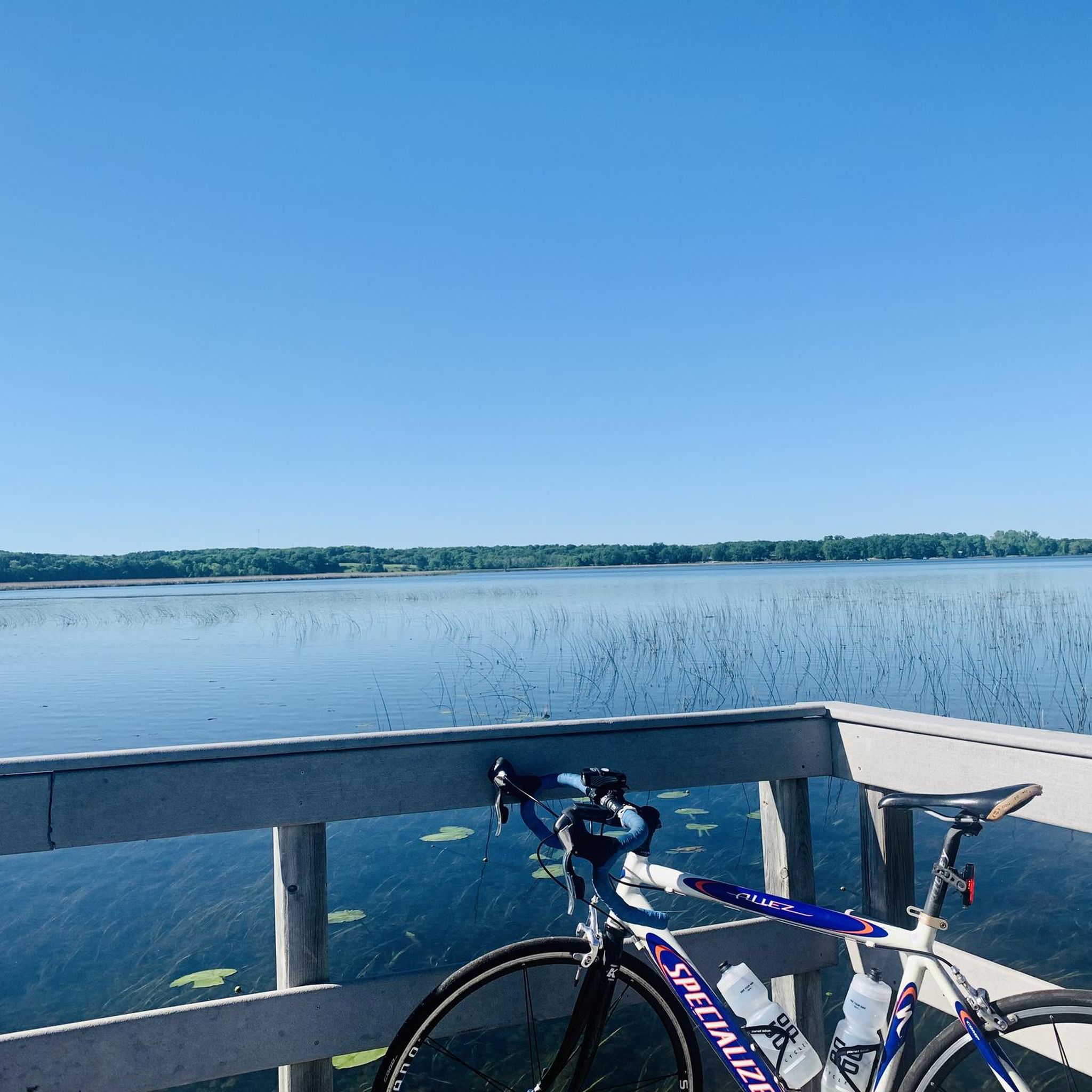
Road Cycling Routes around Avon

Road Cycling Routes around St. John'S University
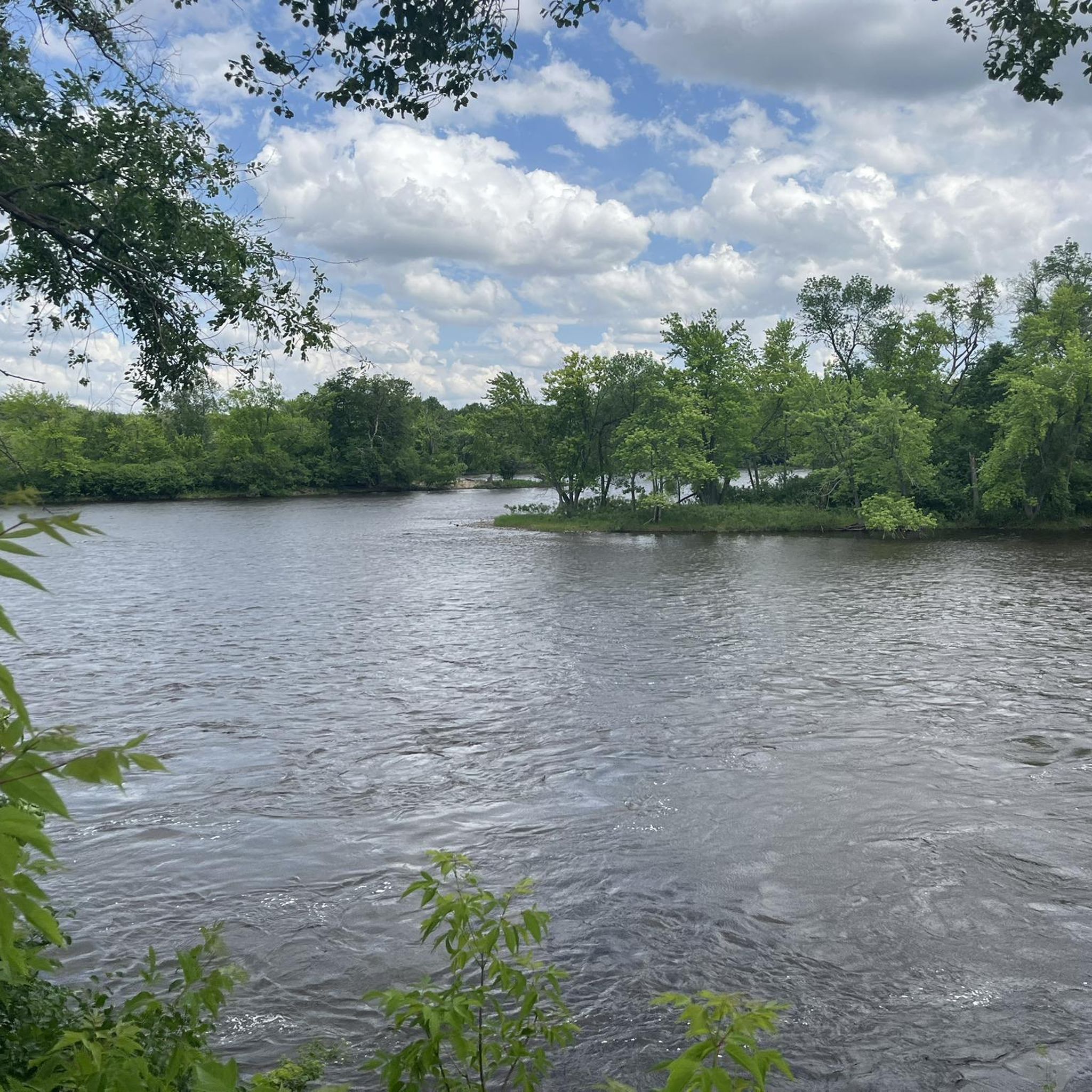
Road Cycling Routes around St. Cloud
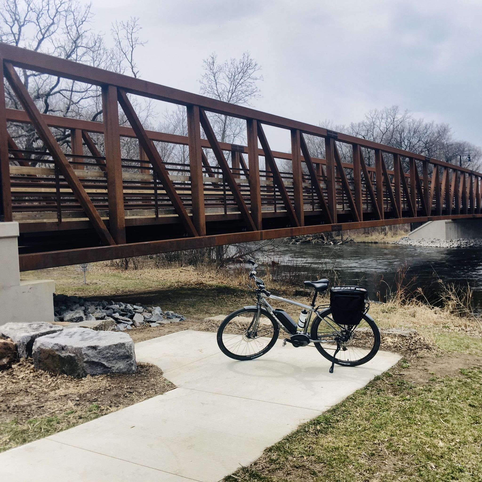
Road Cycling Routes around Waite Park
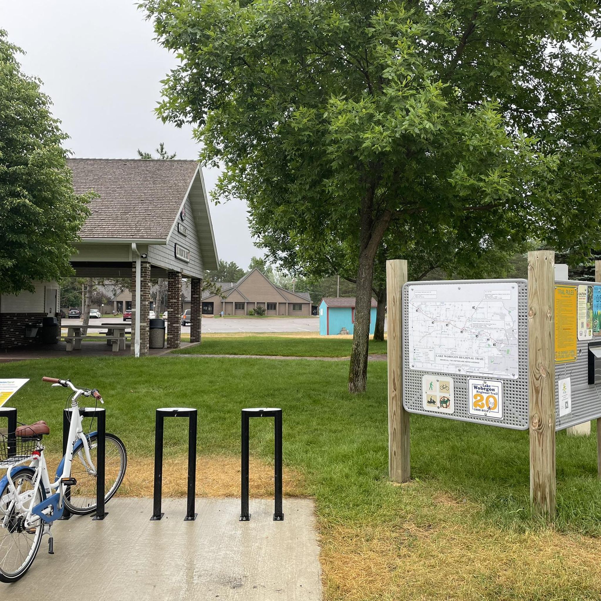
Road Cycling Routes around St. Joseph

Road Cycling Routes around Sartell
Around the World in 80 Days

Hiking in Stearns County
Other adventures in Stearns County

Tips from the Community

Very cool place to finally see inside! I was last past here in 2020 or 2021 and it wasn't open. Their last day of this season is the end of October, so I was getting close to missing it again on this trip. I had a decent sandwich, some great broccoli salad, and tasty beer from local breweries on tap.
2
0
Cool covered bridge, probably more impressive than the one in Zumbrota, although I don't know if this is original.
2
0
Cool covered bridge, probably more impressive than the one in Zumbrota, although I don't know if this is original.
2
0
A big dam on the Mississippi, reminiscent of the Coon Rapids Dam. Saw people fishing on the concrete at the foot of the dam, that's dangerous!
2
0

The Beaver Island Trail is a beautiful 5-mile long trail. It follows the Mississisppi River from St. Cloud. The trail is paved and gives you great views of the water.
1
0
Nice view of the St. Cloud Hydroelectic Facility and dam. From the trail, you also get a great view of the Mississippi River.
1
0
Frequently Asked Questions
What kind of terrain can I expect on road cycling routes in Stearns County?
Stearns County offers generally gentle terrain, characterized by expansive dairy farms, cornfields, and remnant prairies. Many routes feature paved surfaces, making them accessible for various skill levels. You'll also find sections winding through forests and past wetlands, with views of lakes and rivers like the Sauk River.
Are there any easy or beginner-friendly road cycling routes in Stearns County?
Yes, Stearns County has several easy routes suitable for beginners. For example, the Roadbike loop from Upper Spunk Lake is an easy 21.9-mile (35.2 km) ride. Another great option is the Lower Spunk Lake loop from Avon Township, which is 24.0 miles (38.7 km) and also rated easy. Many routes utilize dedicated paved trails with minimal elevation changes.
What natural features or landmarks can I see along the road cycling routes?
Cyclists can enjoy diverse scenery including dairy farms, cornfields, and remnant prairies. Routes often pass through wooded areas, wetlands, and offer views of lakes and rivers. Notable landmarks include the Lake Wobegon Trail Covered Bridge. While primarily known for mountain biking, the historic quarries of Quarry Park Scientific and Natural Area contribute to the region's unique granite landscape.
Are there any loop-style road cycling routes in Stearns County?
Yes, many road cycling routes in Stearns County are designed as loops. Popular options include the Lake Wobegon Regional Trail – Mississippi River Dam loop from Albany, a moderate 40.7-mile (65.5 km) ride, and the Lower Spunk Lake loop from Saint Joseph, an easy 26.4-mile (42.4 km) route. These loops allow you to experience varied scenery without retracing your path.
What is the best time of year for road cycling in Stearns County?
The most pleasant time for road cycling in Stearns County is typically from spring through fall. During these seasons, the weather is generally favorable, and the landscapes of farms, prairies, and forests are at their most vibrant. Winter road biking can be challenging due to snow and ice conditions.
Are there family-friendly road cycling options in Stearns County?
Absolutely. The paved trails and gentle terrain of Stearns County make it ideal for family cycling. The Lake Wobegon Trail, a 65-mile paved rail-trail, is particularly well-suited for families due to its flat surface and scenic views through towns, farms, and natural areas. The Roadbike loop from Third Island is another easy, shorter option at 12.8 miles (20.6 km).
What do other road cyclists enjoy most about road cycling in Stearns County?
The komoot community highly rates road cycling in Stearns County, with an average score of 5.0 stars from over 30 reviews. Cyclists often praise the region's expansive dairy farms, cornfields, and scenic lake views, as well as the network of well-maintained paved trails that offer options for different ability levels.
Are there any long-distance road cycling routes in the area?
Yes, Stearns County offers longer routes for those seeking more distance. The Mississippi River Dam – Lake Wobegon Regional Trail loop from United States Post Office is a moderate 63.9-mile (102.8 km) ride. The Lake Wobegon Trail itself spans 65 miles, with 57 miles within Stearns County, connecting to other trails for extended rides.
Where can I find parking for road cycling trails in Stearns County?
Many of the major trails in Stearns County, such as the Lake Wobegon Trail and the Dairyland Trail, have designated trailheads in towns along their routes. These trailheads typically offer parking facilities. For specific parking information, it's advisable to check local park and trail websites, such as those provided by Stearns County Parks.
Are there specific trails that connect to other regions for longer rides?
Yes, the Lake Wobegon Trail is a key connector. It links with the Central Lakes Trail to the west and the Soo Line Trail to the north, allowing cyclists to extend their rides beyond Stearns County into neighboring regions and explore a broader network of trails.
What is the Dairyland Trail and is it suitable for road cycling?
The Dairyland Trail is an 18-mile aggregate surface trail in Stearns County, named for the region's dairy production. While it's suitable for biking, its aggregate surface means it's best enjoyed on a road bike with wider tires or a gravel bike, rather than a traditional thin-tire road bike, to ensure a comfortable ride through its landscape of farms and prairies.
Are there any routes that feature the Mississippi River?
Yes, some routes incorporate views of the Mississippi River. For instance, the Lake Wobegon Regional Trail – Mississippi River Dam loop from Albany features views of the Mississippi River Dam, offering a different scenic element to your ride.
Most popular attractions in Stearns County

Get inspired with the komoot mobile app


Didn’t find what you were looking for?
Check out more Road cycling routes throughout Stearns County below and find the perfect route in your destination.
Explore more
Browse the best Road cycling routes in other regions.
