The best road cycling routes around Hurwenensche Kil
4.5
(294)
11,431
riders
164
rides
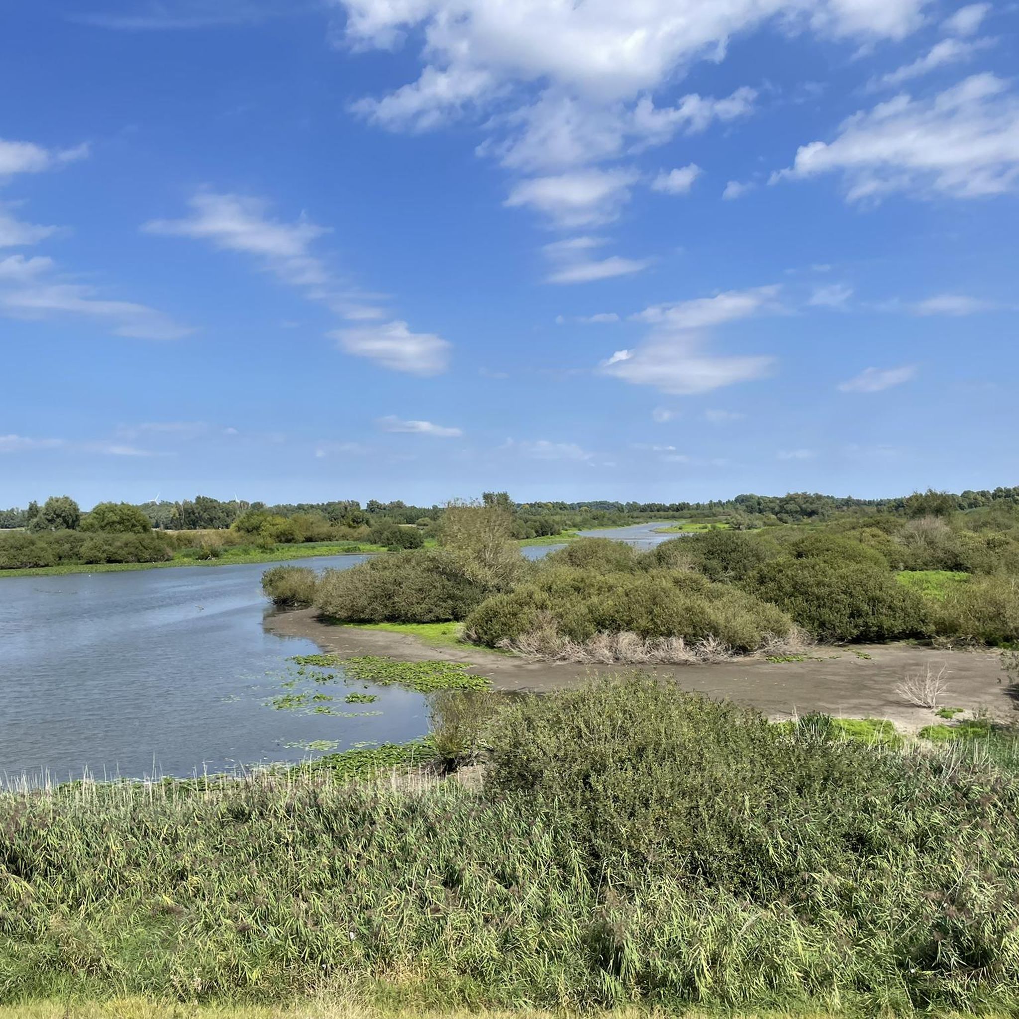
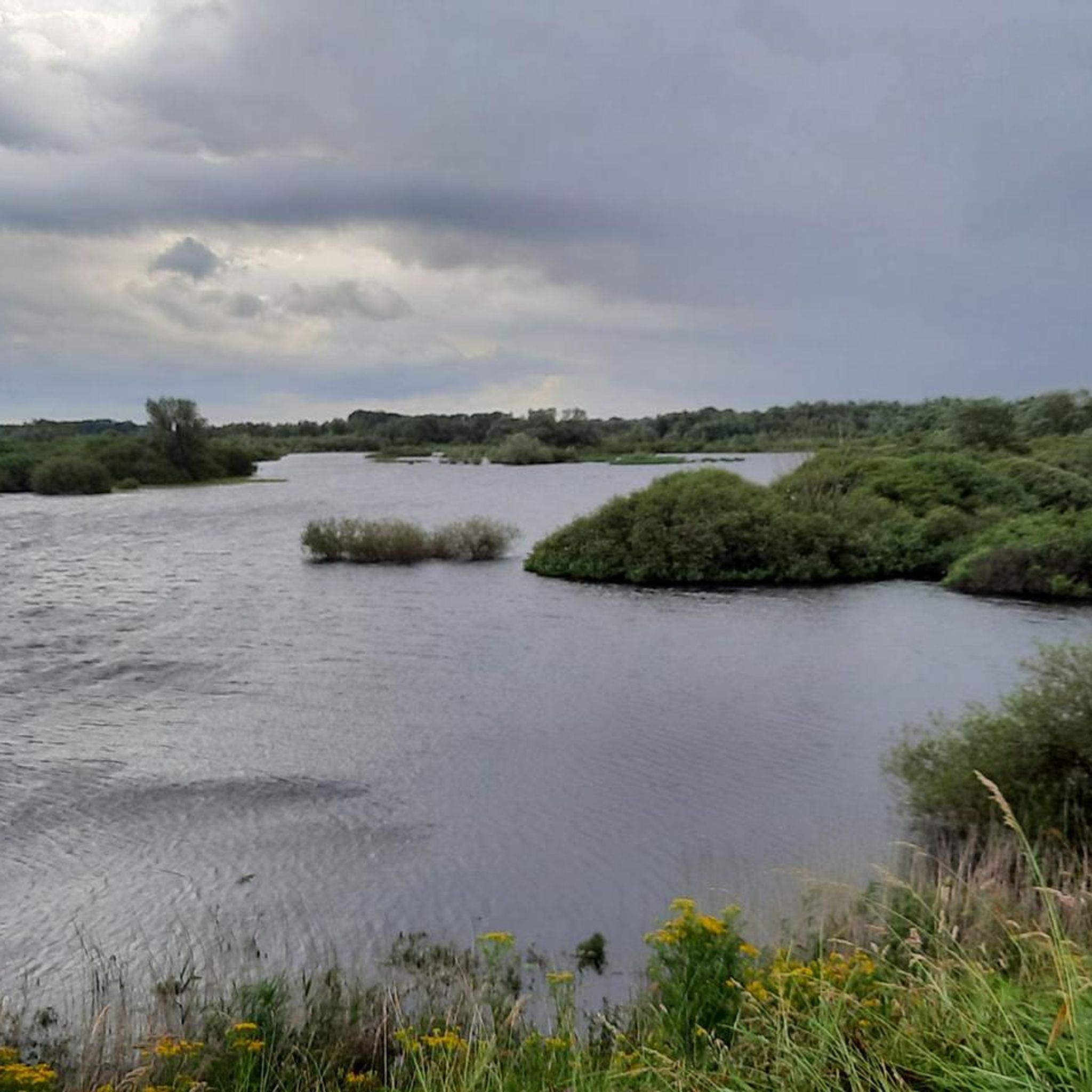
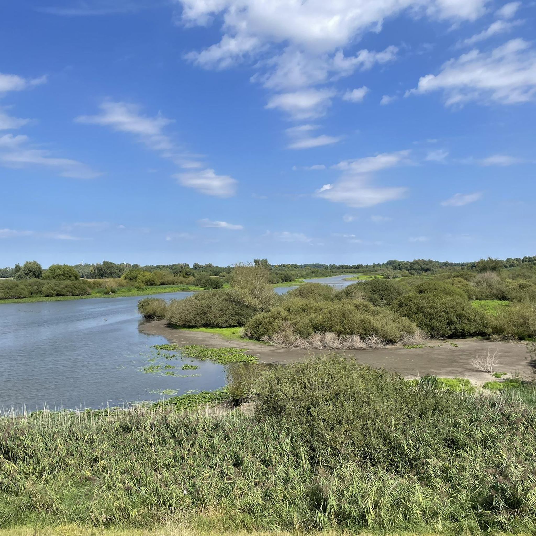
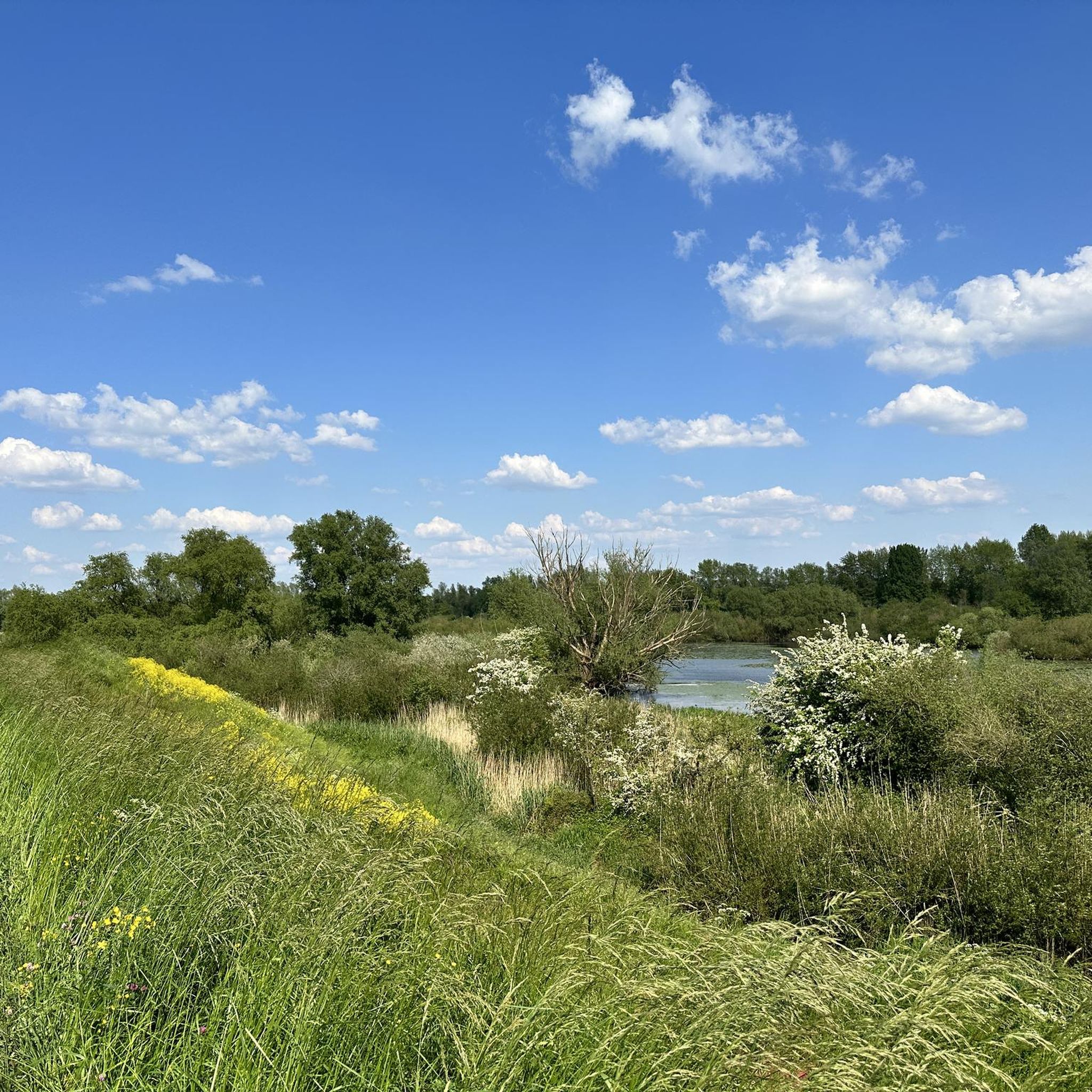
Road cycling routes around Hurwenensche Kil are defined by the region's flat, riverine landscapes, shaped by the Waal river. The area features well-maintained dike paths that offer views over the Kil van Hurwenen and surrounding floodplains. This former meander of the Waal is now an ecologically rich nature reserve, providing a serene environment for road cyclists. The terrain is generally flat, with minimal elevation changes, making it suitable for various cycling abilities.
Best road cycling routes around Hurwenensche Kil
- The…
Last updated: May 15, 2026
4.6
(17)
546
riders
49.9km
01:59
60m
60m
Easy road ride. Great for any fitness level. Mostly well-paved surfaces and easy to ride.
4.8
(5)
189
riders
43.1km
01:49
50m
50m
Easy road ride. Great for any fitness level. Mostly well-paved surfaces and easy to ride.

Sign up for free
4.3
(12)
738
riders
60.6km
02:31
90m
90m
Moderate road ride. Good fitness required. Some segments of this route may be unpaved and difficult to ride.
5.0
(1)
38
riders
Hard road ride. Very good fitness required. Mostly well-paved surfaces and easy to ride.
4.6
(5)
162
riders
Easy road ride. Great for any fitness level. Mostly well-paved surfaces and easy to ride.
Get access to more routes and recommendations from other explorers.
Sign up for free
Already have an account?
Our route recommendations are based on thousands of hikes, rides, and runs completed by other people on komoot.
Start today with a free account
Your next adventure awaits.
Login or Signup

Tips from the Community

This electric pumping station was commissioned in 1936 by then-dike reeve H.C. de Jongh. Two memorial plaques on the pumping station commemorate the two previous (steam) pumping stations. The pumping station was modernized in 1998. Today, it is controlled by a computer in Druten.
0
0

A very beautiful fortified town
1
0
Measure the water level.
1
0

Watch out for the finger, this is the maximum height the water can reach before the Zaltbommers get wet feet🤔
1
0

You can drive through here quite easily. It's right next to the highway.
0
0

Good segment for practicing powerful uphills. Be careful, it can get windy.
1
0

Frequently Asked Questions
What kind of terrain can I expect on road cycling routes around Hurwenensche Kil?
The road cycling routes in Hurwenensche Kil are predominantly flat, characterized by well-maintained dike paths that follow the Waal river and its floodplains. The terrain offers minimal elevation changes, making it suitable for various cycling abilities. You'll experience open, sometimes windy sections with expansive views over the Kil van Hurwenen.
How many road cycling routes are available in the Hurwenensche Kil area?
There are nearly 170 road cycling routes available around Hurwenensche Kil. This includes a wide range of options, with 60 easy routes, 104 moderate routes, and a few more challenging options for experienced cyclists.
Are there any long-distance road cycling routes for experienced riders?
Yes, for experienced riders seeking a longer challenge, routes like the Culemborg Town Hall – Martinus Nijhoff Bridge loop from Zaltbommel offer a difficult 158.1 km (98.2 miles) ride, typically completed in over 6 hours.
What natural features or landmarks can I see along the cycling routes?
The primary attractions are the natural beauty and the expansive views over the Kil van Hurwenen and the surrounding floodplains. The area is an ecologically rich nature reserve, home to many bird species, especially during migration. You might also spot beavers in the willow thickets. The routes often follow dikes, offering continuous scenic vistas of this dynamic riverine landscape.
What do other road cyclists enjoy most about cycling in Hurwenensche Kil?
The area is highly rated by the komoot community, with an average score of 4.5 stars from over 280 reviews. Cyclists often praise the well-maintained dike paths, the serene natural environment, and the beautiful views over the Kil van Hurwenen and the Waal river.
Are there any easy, circular road cycling routes suitable for a relaxed ride?
Absolutely. An easy and popular option is the Poederoijen Dike Route – Well Castle loop from Zaltbommel, which is 49.9 km (31.0 miles) long and takes about 2 hours. This route follows dikes and includes a loop around Well Castle.
Can I find routes that combine natural scenery with historical points of interest?
Yes, routes like the Woudrichem Fortress – Fort Vuren loop from Zaltbommel offer a moderate 60.6 km (37.7 miles) ride that explores historical fortresses while providing varied scenery along the river.
What is the best time of year for road cycling in Hurwenensche Kil?
The region is enjoyable for road cycling for much of the year. The open nature of the dikes means it can be windy, so checking weather conditions is always advisable. The nature reserve itself is accessible for walking in surrounding fields from May 1 to October 1 (sunrise to sunset), suggesting pleasant conditions during these months.
Are there any routes that focus purely on the river and floodplains?
For a route focused on the riverine landscape, consider the Waalbandijk – Martinus Nijhoff Bridge loop from Zaltbommel. This easy 43.1 km (26.8 miles) trail leads directly through the floodplains, offering continuous views of the Waal.
Is the Hurwenensche Kil area suitable for beginner road cyclists?
Yes, the generally flat terrain and numerous easy routes make Hurwenensche Kil very suitable for beginner road cyclists. Many routes, like the Dijkgraaf H.C. de Jongh Pumping Station – Waal Bridge, Zaltbommel loop from Zaltbommel (44.2 km, easy), offer manageable distances and minimal elevation gain.
Are there any specific considerations for cycling during high water periods?
The Hurwenensche Kil is a floodplain area and is still influenced by high water from the Waal river. While dike paths are generally elevated, it's always advisable to check local conditions and weather forecasts, especially during periods of heavy rainfall, to ensure routes are clear and safe.
Most popular routes around Hurwenensche Kil

Get inspired with the komoot mobile app


Explore more
Browse the best Road cycling routes in other regions.
