The best road cycling routes in Columbia County
4.4
(16)
309
riders
28
rides
Road cycling routes in Columbia County traverse a varied landscape, featuring riverfront paths, rolling hills, and forested areas. The region offers diverse terrain, from flat, easy sections along waterways to more challenging climbs with significant elevation gains. Road cyclists can explore routes that wind through rural settings, past agricultural lands, and alongside large bodies of water.
Best road cycling routes in Columbia County
- The most popular road cycling route is Scappoose Bay Loop, a 59.3 miles (95.4 km) trail…
Last updated: May 16, 2026
12
riders
95.4km
03:41
1,070m
1,070m
Hard road ride. Very good fitness required. Mostly well-paved surfaces and easy to ride.
5.0
(1)
59
riders
19.7km
00:46
40m
40m
Easy road ride. Great for any fitness level. Mostly well-paved surfaces and easy to ride.

Sign up for free
4.5
(2)
28
riders
Moderate road ride. Great for any fitness level. Some segments of this route may be unpaved and difficult to ride.
13
riders
93.1km
04:39
1,180m
1,180m
Hard road ride. Very good fitness required. Some segments of this route may be unpaved and difficult to ride.
6
riders
Moderate road ride. Good fitness required. Some segments of this route may be unpaved and difficult to ride.
5
riders
93.1km
04:36
1,210m
1,210m
Hard road ride. Very good fitness required. Mostly well-paved surfaces and easy to ride.
3
riders
28.6km
01:15
120m
120m
Easy road ride. Great for any fitness level. Mostly well-paved surfaces and easy to ride.
5.0
(1)
5
riders
28.6km
01:16
180m
180m
Easy road ride. Great for any fitness level. Mostly well-paved surfaces and easy to ride.
6
riders
137km
06:36
1,250m
1,250m
Hard road ride. Very good fitness required. Some segments of this route may be unpaved and difficult to ride.
Get access to more routes and recommendations from other explorers.
Sign up for free
Already have an account?
Our route recommendations are based on thousands of hikes, rides, and runs completed by other people on komoot.
Start today with a free account
Your next adventure awaits.
Login or Signup
Popular around Columbia County
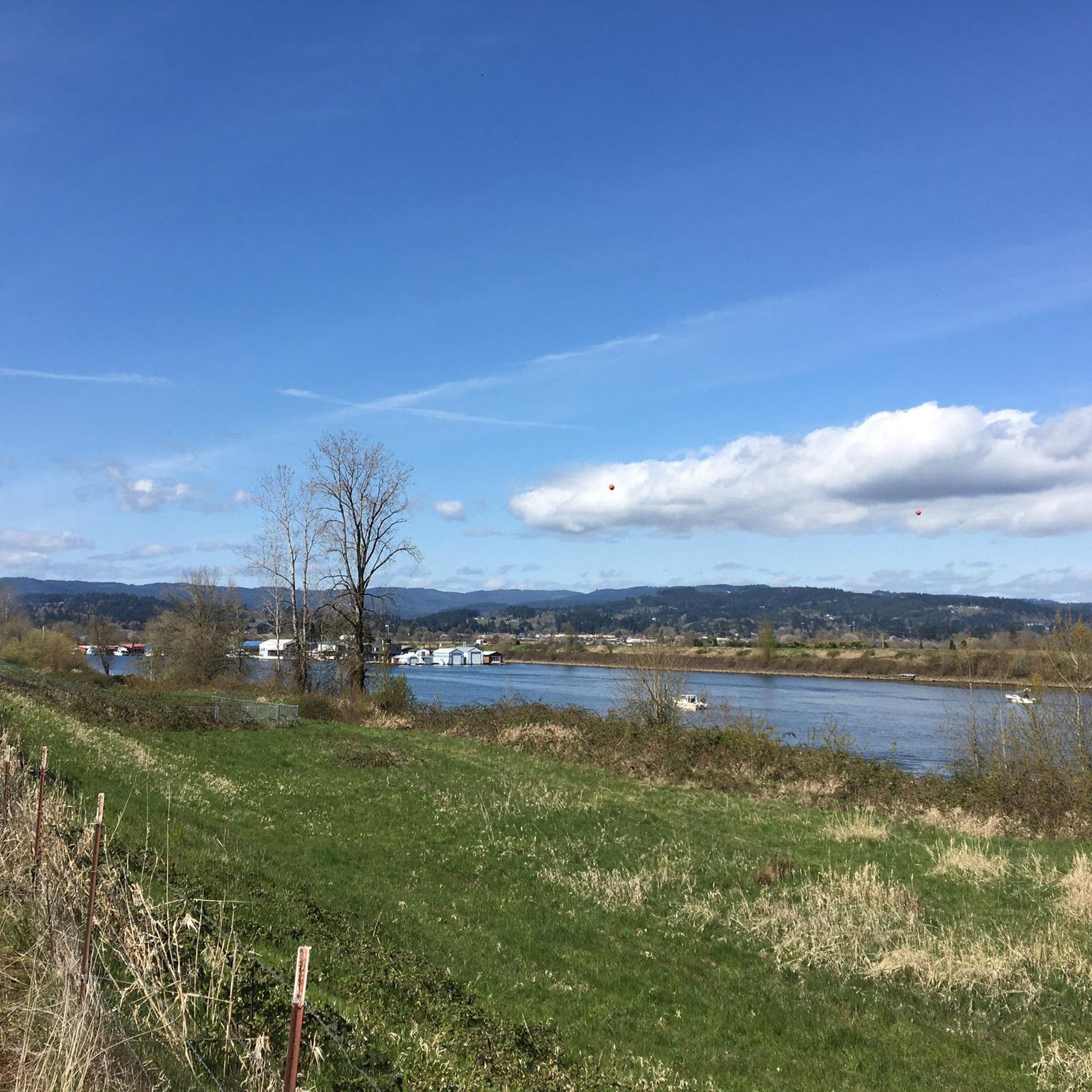
Road Cycling Routes around Scappoose

Road Cycling Routes around Saint Helens
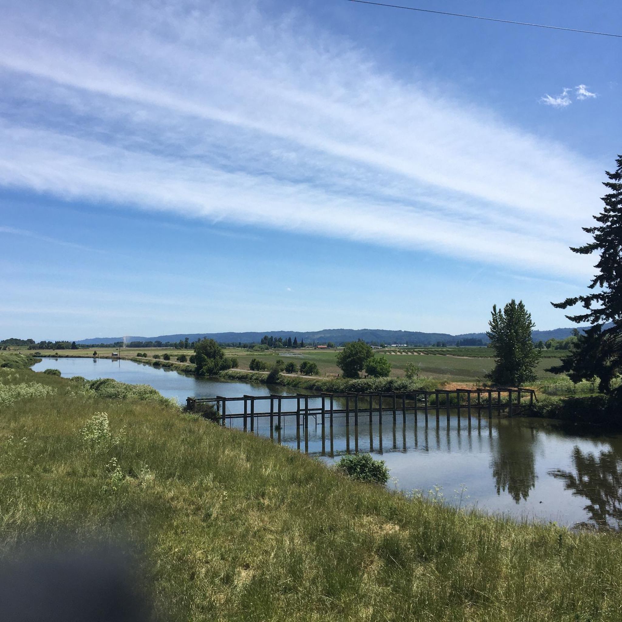
Road Cycling Routes around Warren

Road Cycling Routes around Columbia City

Road Cycling Routes around Deer Island
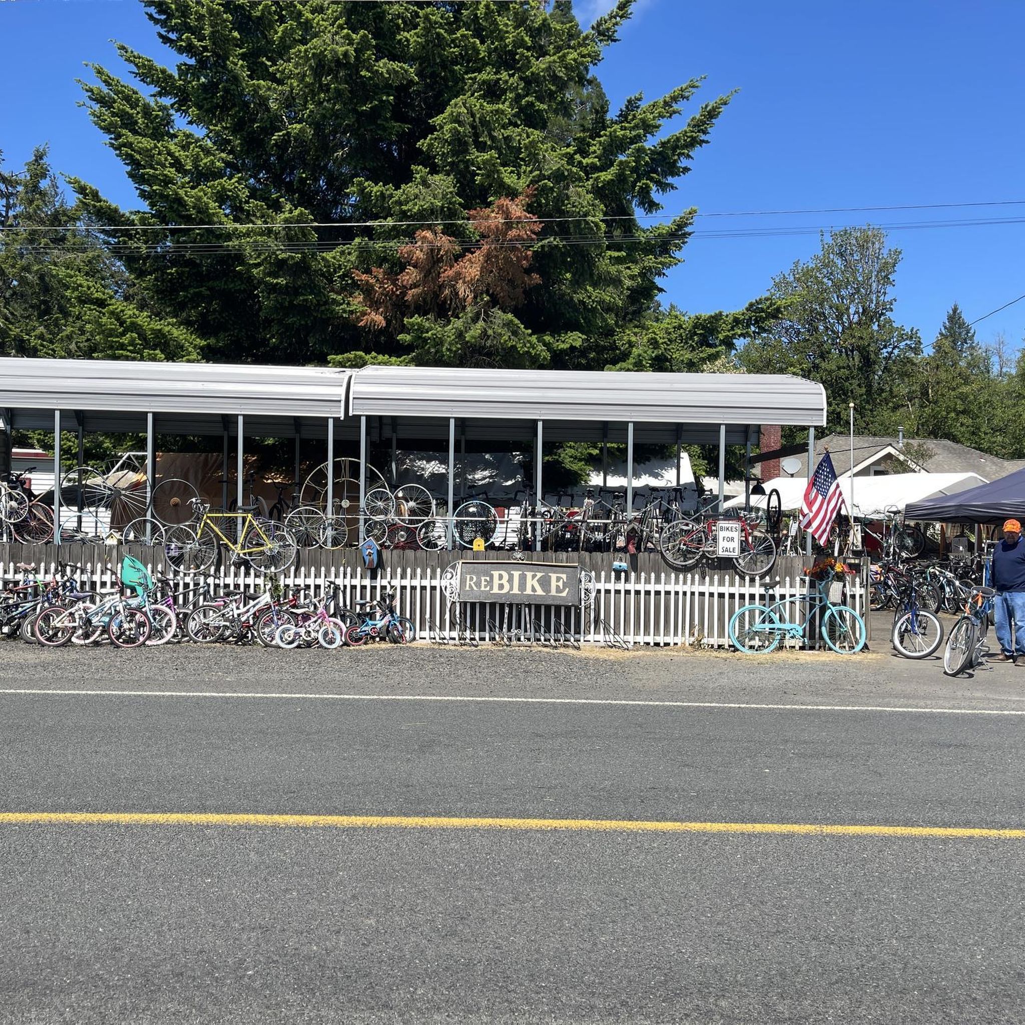
Road Cycling Routes around Vernonia
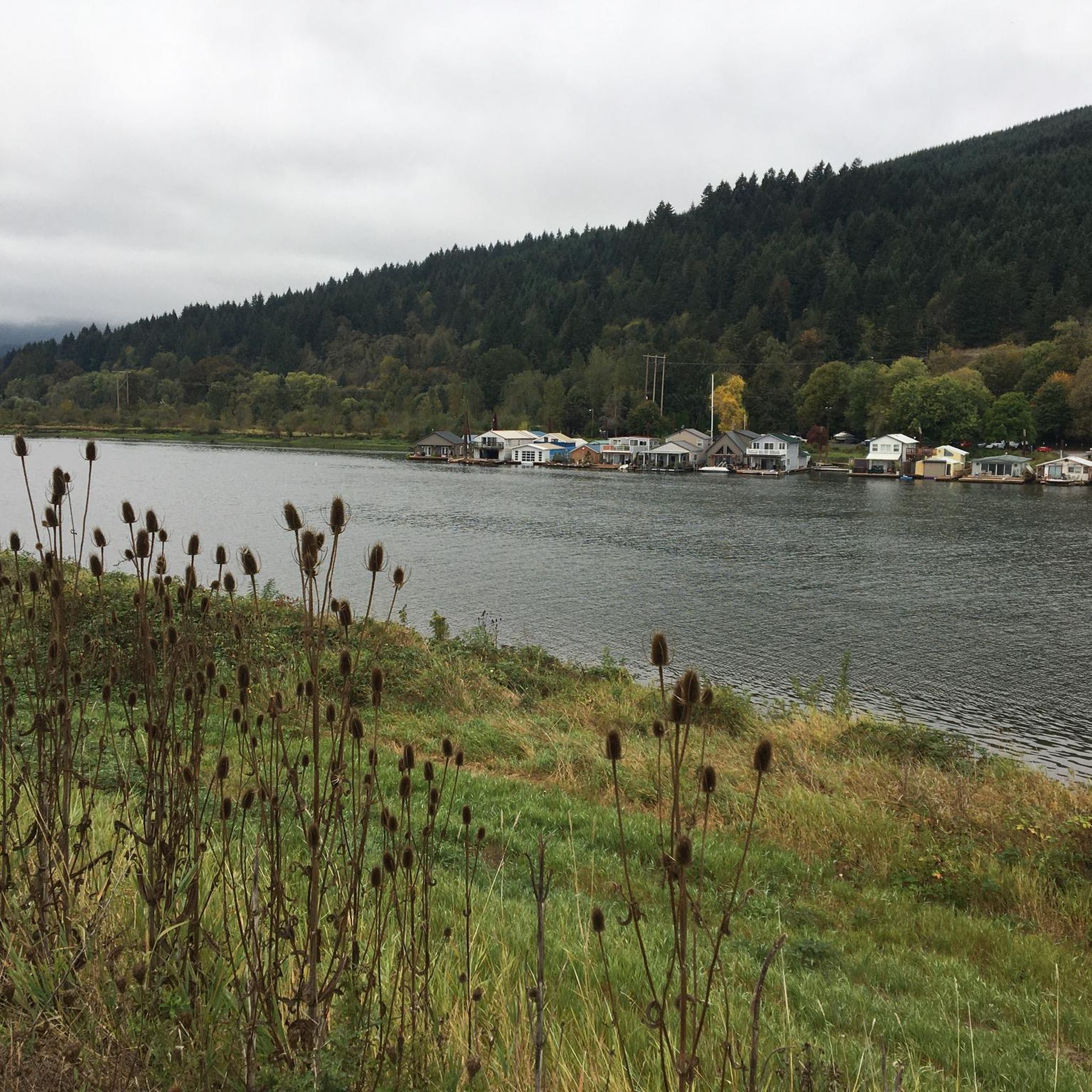
Hiking in Columbia County
MTB Trails in Columbia County
Cycling in Columbia County
Running Trails in Columbia County
Tips from the Community

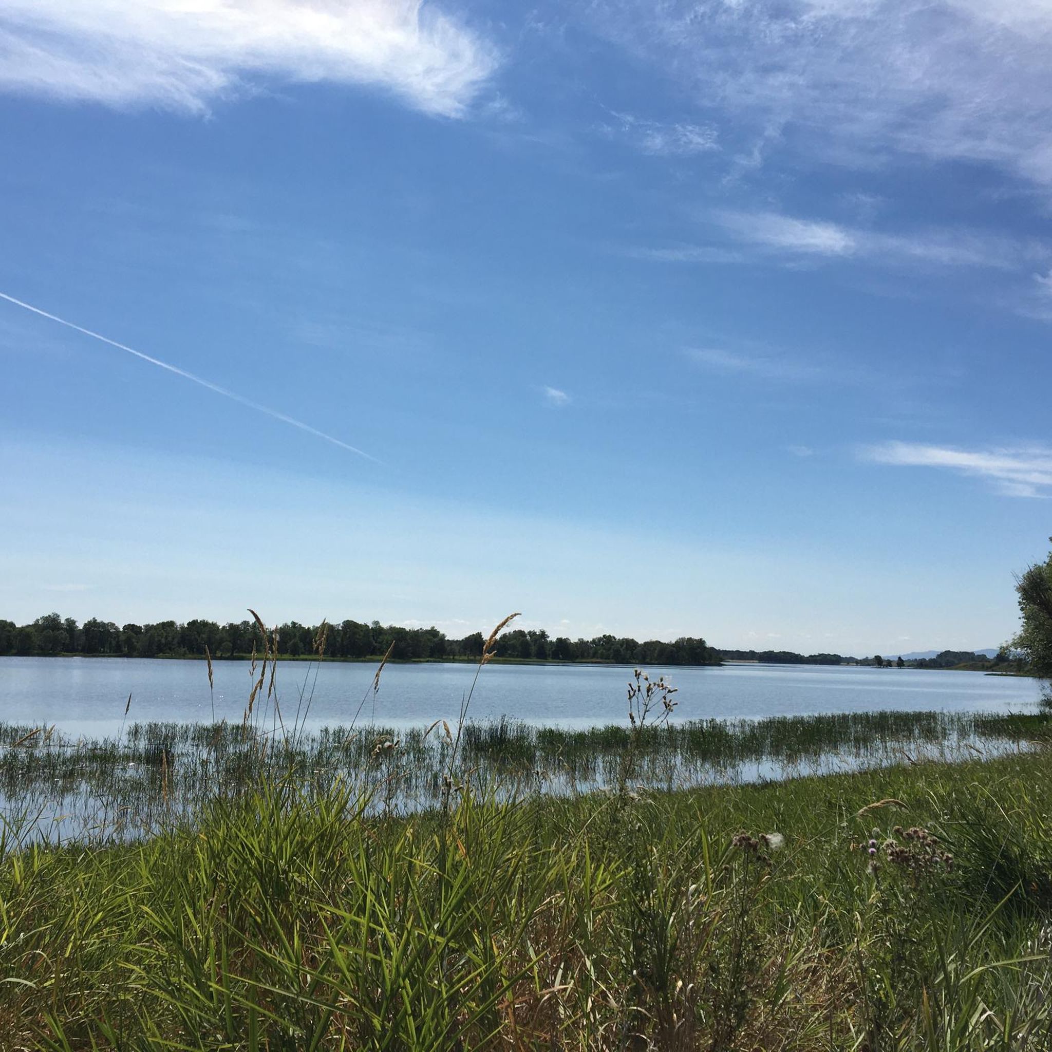
Here you can view Burnt Bridge Creek as it flows west to Vancouver Lake, which drains into Lake River and eventually feeds into the Columbia River.
0
0

Vancouver Lake is a large, shallow lake located near Vancouver, Washington. The lake is popular for kayaking, canoeing, paddleboarding, and windsurfing due to its calm waters. The Vancouver Lake Regional Park is located on its western shore and provides amenities such as picnic areas, open fields, restrooms, and a sandy beach for relaxing. The park is a great spot for birdwatching, as the area is home to diverse waterfowl and other wildlife. While swimming is permitted, water quality can vary, and advisories are posted as needed.
0
0
Frenchman Bar is a narrow strip of land created by Vancouver Lake and the Columbia River. This scenic bit of land has several parks and great views over both bodies of water.
0
0
Vancouver Lake is a large, shallow lake located near Vancouver, Washington. The lake is popular for kayaking, canoeing, paddleboarding, and windsurfing due to its calm waters. The Vancouver Lake Regional Park is located on its western shore and provides amenities such as picnic areas, open fields, restrooms, and a sandy beach for relaxing. The park is a great spot for birdwatching, as the area is home to diverse waterfowl and other wildlife. While swimming is permitted, water quality can vary, and advisories are posted as needed.
1
0
Frenchman’s Bar Regional Park in Vancouver, Washington, is a 120-acre park situated along the Columbia River. It features a sandy beach, grassy picnic areas, and scenic views of the river and Mount Hood in the distance. The park is popular for activities such as swimming, picnicking, fishing, and birdwatching. A paved trail connects Frenchman’s Bar to Vancouver Lake, making it a favorite spot for walking, running, and biking. The park includes picnic tables, barbecue grills, restrooms, and parking facilities.
0
0
The Banks-Vernonia State Trail is Oregon's first "rails-to-trails" park, repurposing a 21-mile abandoned railroad between Banks and Vernonia. This is where the trails begins/ends in Banks. There is a parking area, a water fountain, and a restroom here. The trail features an 8-foot wide paved path for hiking and biking, alongside a 4-foot gravel equestrian trail. It is at a generally gentle grade and passes through fields, forests, and farmlands with scenic mountain views, in Washington and Columbia counties.
0
0
The Banks-Vernonia State Trail is Oregon's first "rails-to-trails" park, repurposing a 21-mile abandoned railroad between Banks and Vernonia. This is where the trails begins/ends in Banks. There is a parking area, a water fountain, and a restroom here. The trail features an 8-foot wide paved path for hiking and biking, alongside a 4-foot gravel equestrian trail. It is at a generally gentle grade and passes through fields, forests, and farmlands with scenic mountain views, in Washington and Columbia counties.
0
0
The Banks-Vernonia State Trail is Oregon's first "rails-to-trails" park, repurposing a 21-mile abandoned railroad between Banks and Vernonia. The trail features an 8-foot wide paved path for hiking and biking, alongside a 4-foot gravel equestrian trail. It is at a generally gentle grade and passes through fields, forests, and farmlands with scenic mountain views, in Washington and Columbia counties. Key highlights include 13 bridges and the impressive Buxton Trestle, a 733-foot long, 80-foot high bridge, which is open to hikers and bikers.
1
0
Frequently Asked Questions
What kind of terrain can I expect on road cycling routes in Columbia County?
Columbia County offers a diverse road cycling landscape, featuring everything from flat, easy sections along waterways to more challenging climbs with significant elevation gains. You'll find routes winding through rural settings, past agricultural lands, and alongside large bodies of water like the Columbia River.
How many road cycling routes are available in Columbia County?
There are nearly 30 road cycling routes documented in Columbia County on komoot, catering to various skill levels. This includes 8 easy routes, 13 moderate routes, and 6 difficult routes, ensuring options for every cyclist.
Are there any easy, flat road cycling routes suitable for beginners or a relaxed ride?
Yes, Columbia County has several easy, flat routes. For instance, the Sturgeon Lake loop from Birds to See at Coon Point is an easy 19.7 km (12.3 miles) ride with minimal elevation gain, perfect for a relaxed outing. Another easy option is the Chapman Landing loop from Pisgah, which covers 28.6 km (17.8 miles) with gentle inclines.
What are some challenging road cycling routes for experienced riders in Columbia County?
For experienced riders seeking a challenge, Columbia County offers several difficult routes. The Scappoose Bay Loop is a demanding 95.4 km (59.3 miles) route with over 1,070 meters (3,500 feet) of elevation gain. Another significant challenge is the Old Mill Fuel Building – Vernonia Lake loop from Vernonia, which spans 136.6 km (84.9 miles) and features over 1,240 meters (4,000 feet) of climbing.
What do other road cyclists say about the routes in Columbia County?
The road cycling routes in Columbia County are highly rated by the komoot community, with an average score of 4.5 stars from over 15 reviews. Cyclists often praise the varied terrain, scenic views, and the network's ability to cater to different ability levels.
Are there any circular road cycling routes in Columbia County?
Yes, many routes in Columbia County are designed as loops, offering a convenient way to start and end your ride in the same location. Examples include the Sturgeon Lake loop from Birds to See at Coon Point and the Roadbike loop from McNulty, which provide diverse experiences from riverside paths to more challenging climbs.
What natural features or landmarks can I see along the road cycling routes?
Road cycling routes in Columbia County often pass by significant natural features and landmarks. You can cycle near Scappoose Bay, enjoy views of Vernonia Lake, or cross the impressive Lewis and Clark Bridge. The region's riverfront paths and forested areas also offer scenic beauty.
Are there any historical sites accessible by road bike in Columbia County?
Yes, some routes offer glimpses of historical interest. For example, the Old Mill Fuel Building – Vernonia Lake loop from Vernonia passes by the Old Mill Fuel Building, a notable historical site. The region's history is often intertwined with its waterways and industrial past, providing interesting points of interest along your ride.
What is the best time of year for road cycling in Columbia County?
Columbia County offers good road cycling conditions through much of the year. Spring and fall generally provide pleasant temperatures and vibrant scenery, making them ideal. Summer can also be excellent, especially for early morning or late afternoon rides to avoid the midday heat. Winter cycling is possible, but riders should be prepared for cooler temperatures and potentially wet conditions.
Are there any routes that offer views of the Columbia River?
Absolutely. The Columbia River is a prominent feature of the region, and several road cycling routes offer stunning views of it. The Frenchman Bar – Vancouver Lake loop from Shillapoo South Wildlife Area, for instance, provides excellent vistas of the Columbia River and Vancouver Lake.
Can I find long-distance road cycling routes in Columbia County?
Yes, Columbia County is home to several long-distance road cycling routes. The Old Mill Fuel Building – Vernonia Lake loop from Vernonia is a substantial 136.6 km (84.9 miles) ride, and the Scappoose Bay Loop covers 95.4 km (59.3 miles), both offering extensive cycling experiences.
Most popular routes in Columbia County
Most popular attractions in Columbia County

Get inspired with the komoot mobile app


Didn’t find what you were looking for?
Check out more Road cycling routes throughout Columbia County below and find the perfect route in your destination.
Explore more
Browse the best Road cycling routes in other regions.
