The best walks and hikes in Graham County
4.5
(29)
375
hikers
24
hikes
Hikes in Graham County are characterized by the rugged terrain of the Appalachian Mountains in western North Carolina. The region is largely covered by the Nantahala National Forest and includes sections of long-distance paths like the Appalachian Trail and the Benton MacKaye Trail. Routes navigate through old-growth hardwood forests, follow creek beds, and ascend to high-elevation balds with expansive views.
Best hiking trails in Graham County
- The most popular hiking route is Cheoah Bald — Nantahala National Forest, a…
Last updated: September 27, 2026
3
hikers
5.37km
01:41
280m
60m
Embark on a journey through dense hardwood forests that eventually open up to the stunning mountaintop meadow of Bob Bald. This trail offers a dynamic experience, starting on an old…
4
hikers
9.03km
03:51
670m
120m
The Cheoah Bald via Appalachian Trail offers a fantastic opportunity to experience one of the region's most prominent peaks. You'll ascend through diverse forested paths, eventually breaking out onto the…

2
hikers
5.09km
01:41
280m
160m
The Brown Fork Gap via Appalachian Trail offers a delightful immersion into the lush, historical Appalachian Mountains of North Carolina. You'll wind through vibrant greenery, with rhododendrons and mountain laurels…
2
hikers
4.70km
01:24
160m
130m
The Fontana Loop Trail offers a delightful and easy hike through the forested slopes of the Nantahala National Forest, providing tranquil views of Fontana Lake. You'll navigate natural ground, sometimes…
3.83km
01:38
530m
0m
The Hangover Lead Trail delivers an intense, rewarding experience through the ancient forests of the Joyce Kilmer-Slickrock Wilderness. You'll climb steadily through dense rhododendron thickets and old-growth trees before emerging…
41.3km
11:22
680m
690m
Embark on the Tsali Left and Right Loop Trail, a difficult hiking route that immerses you in the diverse landscapes of Nantahala National Forest. This challenging journey spans 25.7 miles…
4.94km
01:39
300m
150m
The Hangover via Wolf Laurel Road offers a fantastic taste of the Joyce Kilmer-Slickrock Wilderness, leading you through diverse mountainous terrain dotted with rocks and laurel bushes. The real draw…
546m
00:09
0m
10m
The Hooper Bald Trail offers a delightful escape into the Nantahala National Forest, leading you through pleasant forested sections before opening up to a stunning grassy bald. This unique mountain…
1.22km
00:21
20m
60m
The Cheoah Dam Overlook Trail offers a delightful, short escape into the dense Appalachian woodlands of North Carolina. You'll wander through lush forests, enjoying the quiet atmosphere before reaching the…
1.04km
00:18
40m
0m
If you're seeking a peaceful, short escape into nature, the Big Snowbird Trail delivers a delightful experience. This easy 0.6-mile (1.0 km) hike, which takes about 18 minutes to complete…
Get access to more routes and recommendations from other explorers.
Already have an account?
Our route recommendations are based on thousands of hikes, rides, and runs completed by other people on komoot.
Start today with a free account
Your next adventure awaits.
Popular around Graham County
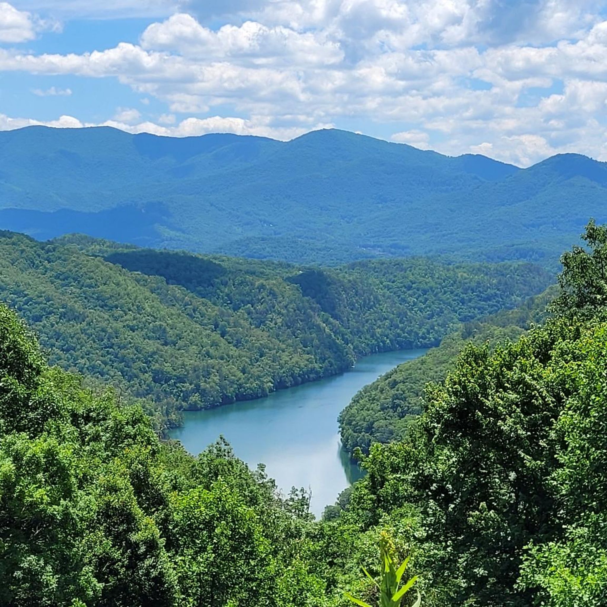
Hiking around Fontana Lake
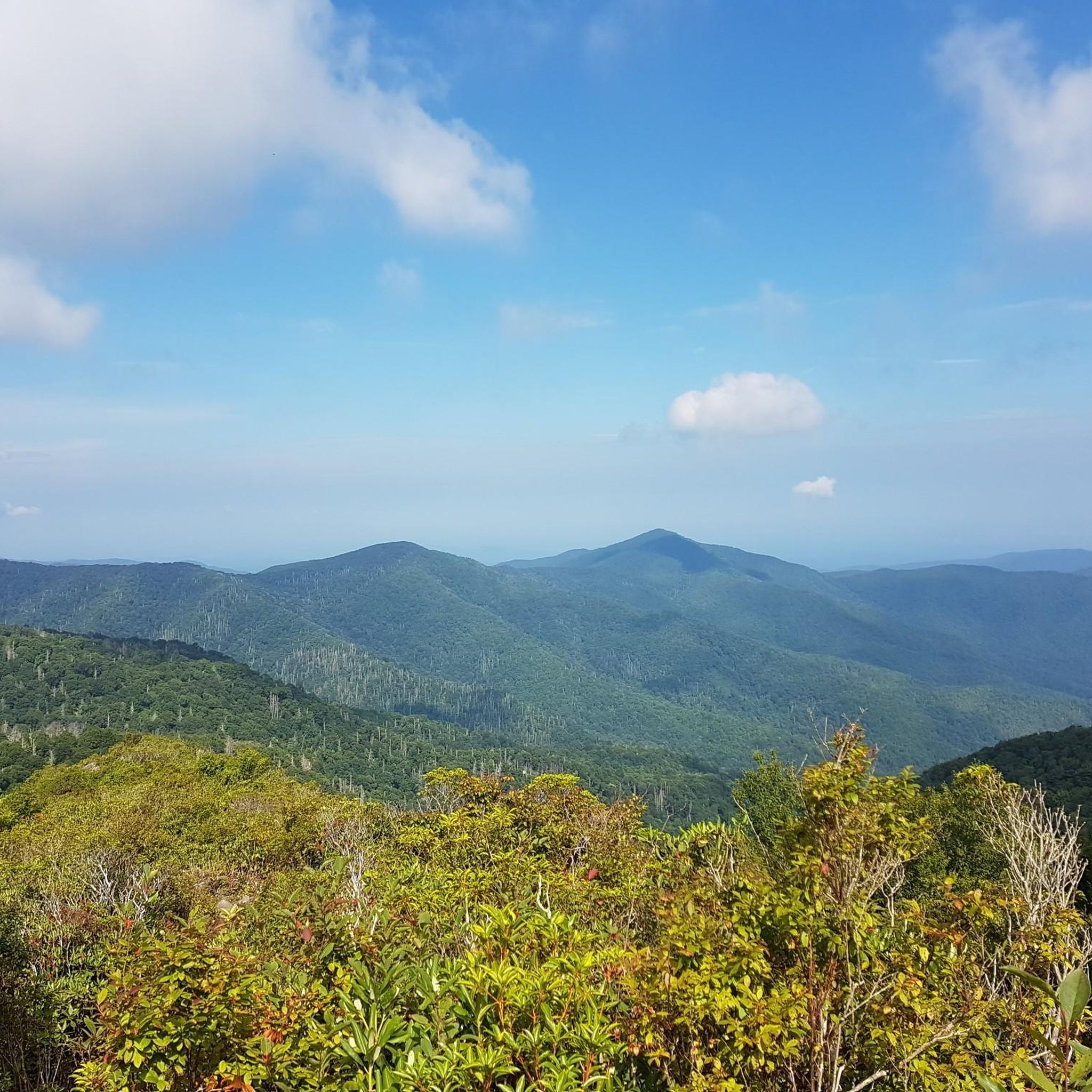
Hiking in Joyce Kilmer-Slickrock Wilderness

Hiking around Fontana Dam

Hiking in Snowbird Wilderness Study Area

Hiking around Robbinsville

Benton MacKaye Trail — Hiking from Georgia to the Smokies
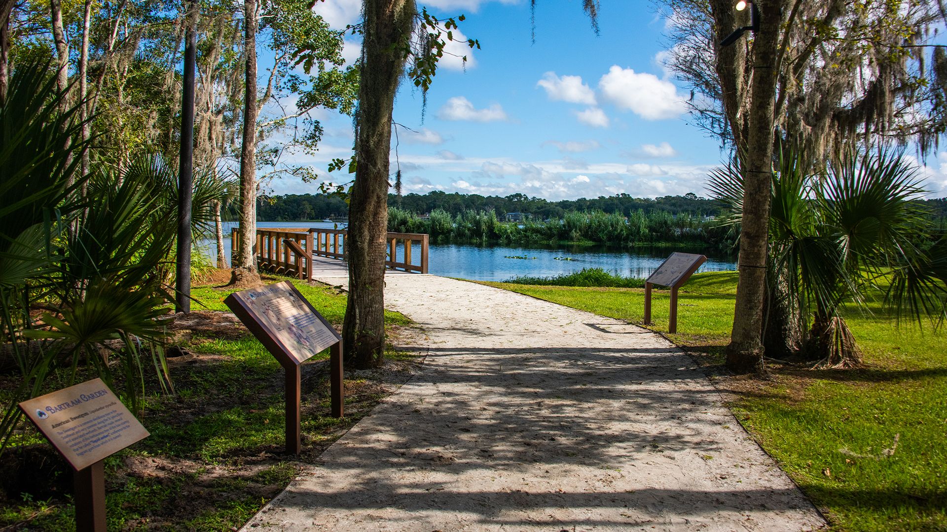
The Bartram Trail — In the footsteps of William Bartram

Cycling in Graham County
Road Cycling Routes in Graham County


Tips from the Community

The Cheoah River flows through the rugged mountains of western North Carolina, carving a narrow gorge before joining the Little Tennessee River near Tapoco. Known for its steep gradient and powerful rapids, it’s a popular whitewater destination when water is released from Santeetlah Dam. The river is also a scenic backdrop along the Benton MacKaye Trail. If you’re nearby, you can also visit the impressive Santeetlah Dam.
0
0
Tapoco Lodge is a historic 1930s lodge set along the Cheoah River near the Tennessee–North Carolina border. Rooms start around $200 per night, with riverfront cabins and lodge rooms available. Even if you don’t stay overnight, the lodge is a nice spot to enjoy a meal or relax before continuing your journey.
0
0
Joyce Kilmer-Slickrock Wilderness is a remote gem straddling western North Carolina and eastern Tennessee. Famous for its old-growth forests, including the Joyce Kilmer Memorial Forest, it’s home to towering trees over 400 years old and diverse hardwoods like poplar, hemlock, and oak. Hike through lush coves, listen to the creeks, and soak in the solitude.
0
0

This is one of the mountain passes on the Appalachian Trail, a great place to stop and take a break after the uphill climb.
0
0
Cheoah Bald is a 5062 ft summit, the highest in the Cheoah Mountains Range. There are three routes to the summit, all of which are considered difficult. The hike is rewarding when you get to the grassy bald at the top with scenic views of the forest.
1
0

The Tsali IMBA Epic Trail Loop is a great 25 miles long singletrack loop. Please keep in mind that mountain bikers and equestrians are kept separated by alternating days on the trails. So make sure you check out this schedule before you go: https://www.fs.usda.gov/recarea/nfsnc/recarea/?recid=48922.
1
0

One of the numerous shelters at the AT. There are also a few places for a tent, but not exactly comfortable. There is a spring very close by.
2
0
Frequently Asked Questions
Are there any easy, family-friendly hikes in Graham County?
Yes, the area offers some gentle walks. For an easy outing with great views, consider the Huckleberry Knob — Cherokee National Forest trail. It's a relatively short walk to a grassy bald. Another classic family-friendly experience is the two-mile loop through the Joyce Kilmer Memorial Forest, where you can walk among giant, old-growth poplar trees.
Can I bring my dog on the trails?
Dogs are generally permitted on trails within the Nantahala National Forest, which covers most of Graham County, as long as they are on a leash. However, they are not allowed in the Joyce Kilmer Memorial Forest to protect the sensitive ecosystem. Always check specific regulations for the trail you plan to hike.
What are some good hikes to see waterfalls?
The region has several beautiful waterfalls. For a rewarding hike that includes cascades, the Slickrock Creek Trail loop to Lower Falls is a great moderate option. For a more challenging adventure with waterfalls as a reward, you could try the Slickrock Creek Trail & Windy Gap Trail loop to Wildcat Falls.
Are there any circular walks or loop trails available?
Yes, there are several excellent loop trails. For a moderate route with lake views, the Tsali Thompson loop in the Nantahala National Forest is a popular choice. If you're looking for a longer, more challenging loop, the Tsali Right Loop offers a strenuous day out.
What section of the Appalachian Trail runs through Graham County?
A beautiful and strenuous 29-mile section of the Appalachian Trail (A.T.) crosses through Graham County. It traverses the high ridges of the Cheoah Mountains and passes over Fontana Dam. A great day hike on this section is the route to Brown Fork Gap via Apalachian Trail, which offers a taste of the A.T. experience.
What is hiking in the Joyce Kilmer-Slickrock Wilderness like?
Hiking in this area offers two distinct experiences. The Joyce Kilmer Memorial Forest side features a gentle, accessible trail through a rare old-growth forest. In contrast, the adjacent Slickrock Wilderness provides a rugged, challenging backcountry adventure with steep trails and stream crossings, perfect for experienced hikers seeking solitude.
Are there trails with good views of Fontana Lake?
Yes, the Tsali Recreation Area is known for its trails that hug the shoreline of Fontana Lake, offering beautiful water and mountain views. The Tsali Left loop is a moderate hike that provides excellent perspectives of the lake.
How difficult are the hiking trails in Graham County?
The trails range from easy to difficult. The region has 1 easy trail, 8 moderate routes, and 5 difficult treks. You can find everything from short, flat walks like the one in Joyce Kilmer Memorial Forest to strenuous, high-elevation climbs like the ascent to Cheoah Bald.
What do other hikers think of the trails in Graham County?
The area is highly regarded by the komoot community, with an average rating of 4.5 stars. Hikers often praise the pristine, untouched nature of the forests, the solitude on more remote trails, and the stunning panoramic views from the high-elevation balds.
Where can I find information on parking or access points?
Most trailheads have designated parking areas, though they can be small and fill up quickly, especially for popular routes. For official information on access, parking, and any potential fees or closures within the national forest, it's best to check with the local authorities. You can find a welcome center in the area for the most current details.
What is the best time of year to hike in Graham County?
Spring and fall are ideal for hiking in Graham County. Spring offers beautiful blooming wildflowers and flame azaleas, while fall provides spectacular foliage colors. Summer can be hot and humid at lower elevations, but it's a great time to explore the cooler high-country trails. Winter hiking is possible but requires preparation for cold and potentially icy conditions.
Most popular attractions in Graham County

Get inspired with the komoot mobile app


Didn’t find what you were looking for?
Check out more Hikes throughout Graham County below and find the perfect route in your destination.
Explore more
Browse the best Hikes in other regions.
