The best running trails in Los Alamos County
4.3
(7)
182
runners
57
runs
If you've ever tried to plan jogging in Los Alamos County, you know how quickly the sheer number of trails can feel overwhelming. It's tough to tell which routes are genuinely worth your time and effort, and which are just filler. That's where we come in. Our komoot community has mapped, ridden, and reviewed these routes, so we've done the legwork to bring you a curated shortlist of the very best, saving you the guesswork.
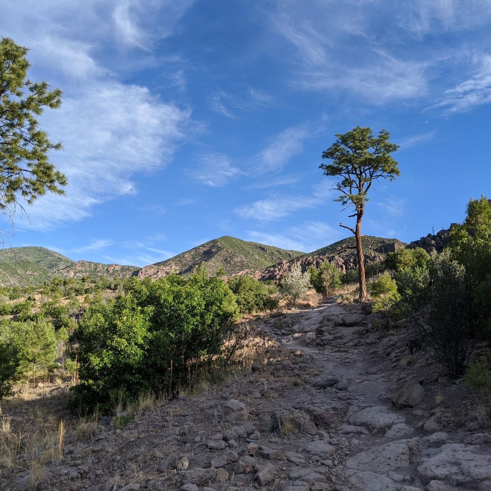
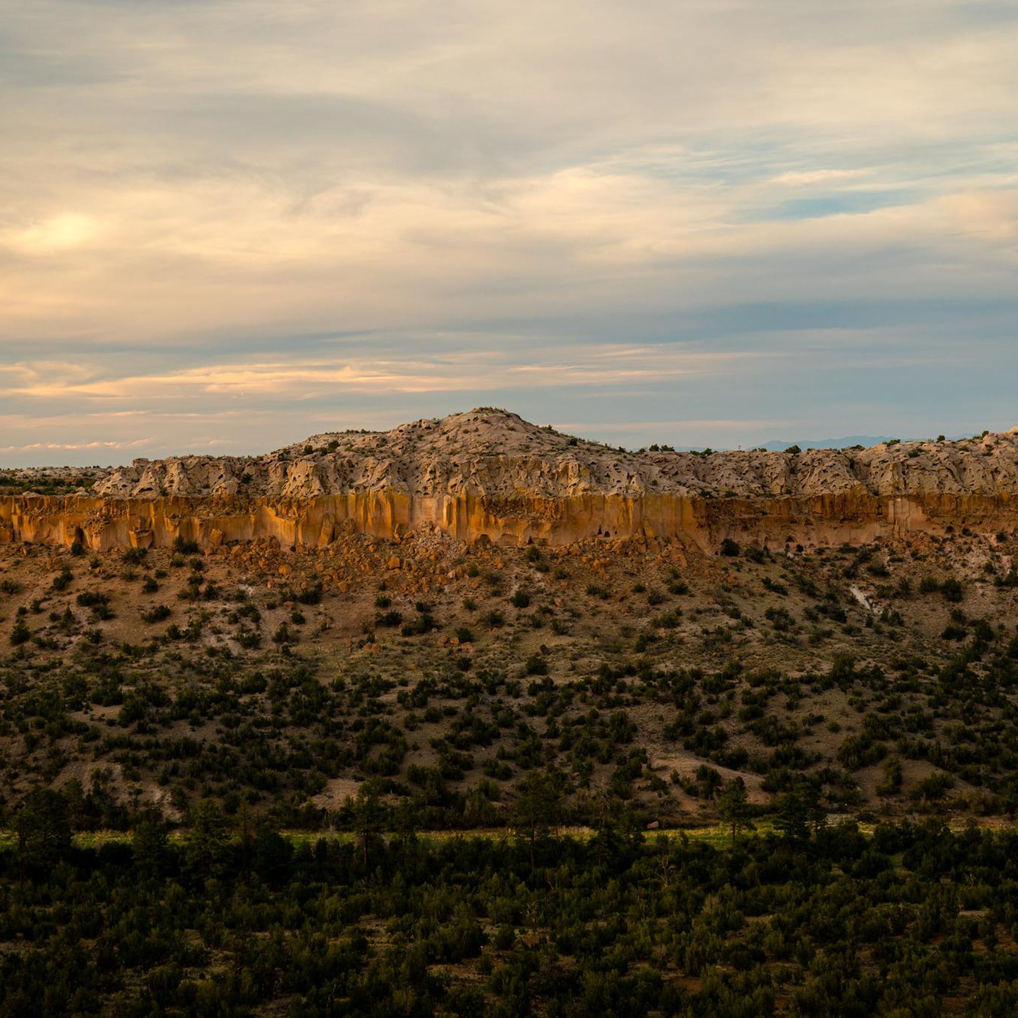
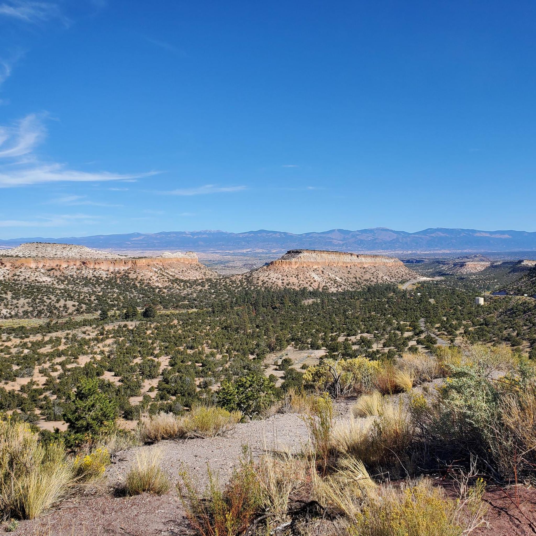
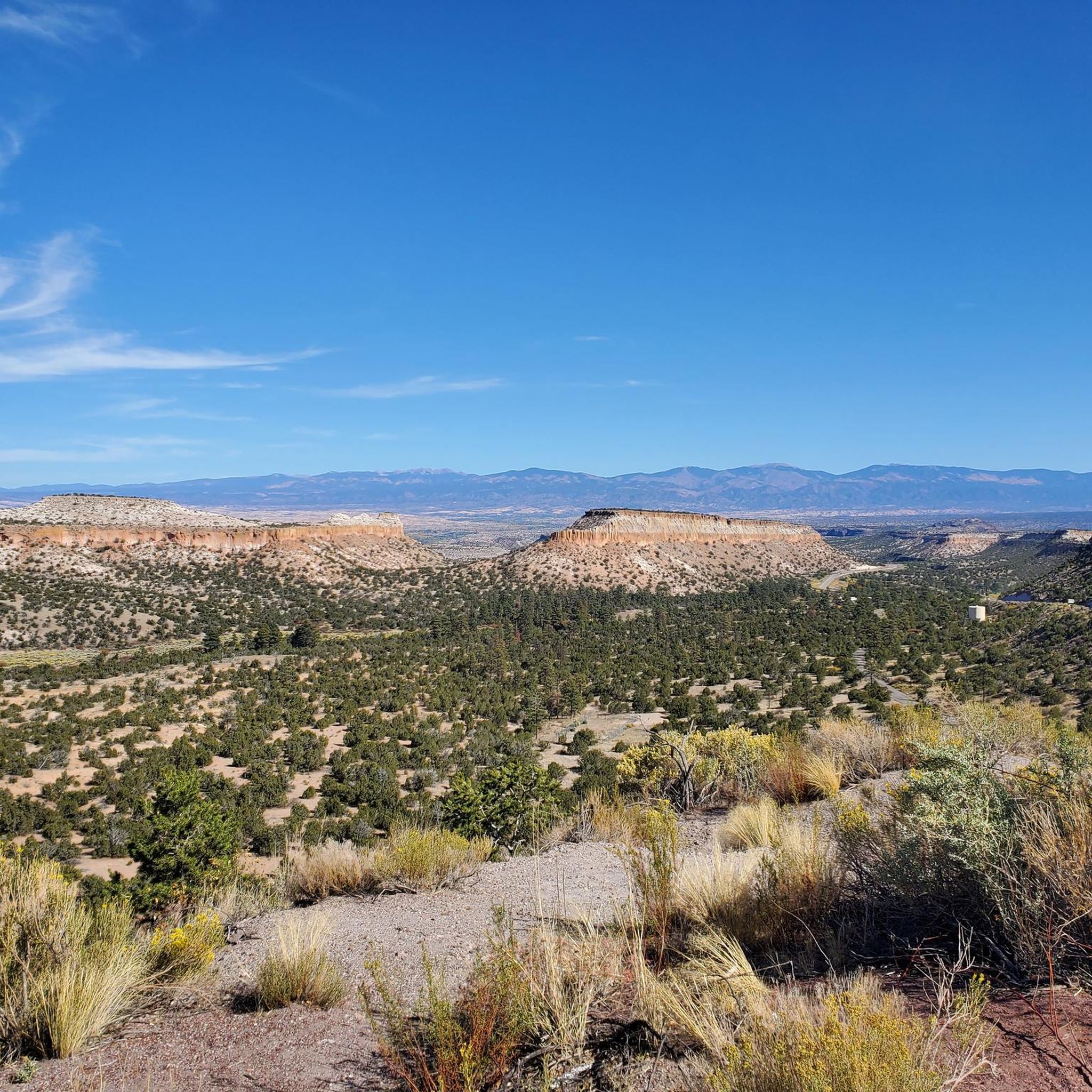
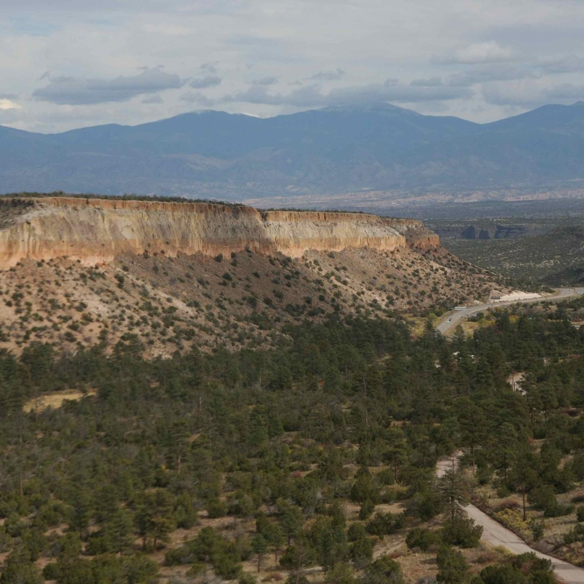
Jogging here means immersing yourself in a truly unique landscape of volcanic mesas and dramatic, deep canyons. You'll find everything from easy paths winding through pine forests to challenging routes with significant elevation gains across high desert terrain. The region's diverse topography, shaped by ancient volcanic activity, offers stunning views and varied surfaces, ensuring there's a run for every mood and fitness level.
For a fantastic introduction to the area, we'd start with the Bayo Benches Loop. This moderate 5.1-mile (8.2 km) route is a community favorite, offering rewarding canyon views and a pleasant run through the pines. If you're looking for something a bit different, the Kwage Mesa Loop, at 4.3 miles (6.9 km), provides desert views and a glimpse into the region's history. With over 180 runners already exploring Los Alamos County with komoot, you're in good company.
Last updated: May 10, 2026
8
runners
17.3km
02:17
560m
560m
The Guaje Ridge/Perimeter Loop offers a challenging jogging experience through the diverse landscapes north of Los Alamos. You'll navigate varied terrain, from rugged singletrack to steep dirt roads, passing through areas impacted by past fires that now show a unique blend of burn scars and verdant growth. The highlight is undoubtedly the 360-degree panoramic views from Guaje Ridge, showcasing Guaje Canyon and the broader New Mexico scenery, while the Perimeter Trail section provides expansive vistas of the Los Alamos Townsite and the Sangre de Cristo Mountains.
This difficult 10.8-mile (17.3 km) route, with its 1824 feet (556 metres) of elevation gain, typically takes around 2 hours and 17 minutes for jogging. For optimal conditions, aim to visit in late May or early June, as later in the summer, overgrown "locust thorn bushes" can make parts of the trail less enjoyable. Remember to bring ample water and sun protection, as many sections are exposed to the elements.
Part of the larger Los Alamos County Trail Network, this loop provides a true backcountry feel within the Santa Fe National Forest. Its significant length and elevation make it a demanding outing, appealing to those seeking a rigorous workout and a deep immersion in the region's unique ecosystems. You'll share the multi-use trail system with hikers and mountain bikers, so stay aware of other users.
6
runners
8.23km
01:03
200m
200m
The Bayo Benches Loop offers a dynamic jogging experience through the Los Alamos County Trail Network, blending packed dirt paths with historic wagon roads carved into volcanic rock. You'll traverse through shaded ponderosa pine forests, encounter fascinating orange tuff cliffs, and be treated to expansive views of Bayo Canyon and the Sangre de Cristo Mountains, particularly from the North Bench Overlook. Keep an eye out for mule deer often spotted resting in the cooler, shaded areas along the route.
This moderate 5.1-mile (8.2 km) loop involves a total elevation gain of 645 feet (196 metres), which most joggers can complete in about 1 hour and 3 minutes. While some sections are technical with rocks or sandy pitches, the trail is generally well-suited for those with good fitness looking for a varied and scenic run. The Bayo Canyon Trailhead serves as the starting point, and the trail is enjoyable across various seasons, with shade providing comfort on warmer days.
Beyond its natural beauty, the Bayo Benches Loop holds a quiet historical significance, incorporating old homestead roads where wagon ruts are still visible in the volcanic rock. This blend of geological wonders, diverse ecosystems, and a touch of local history makes it a notable option among popular trails routes in the region. It's a great way to experience the unique landscape and wildlife of Los Alamos County.

4
runners
13.4km
01:34
290m
290m
If you're seeking a rewarding jogging experience near Los Alamos, the Perimeter Trail delivers a moderate challenge over 8.3 miles (13.4 km). You'll navigate a route with 948 feet (289 metres) of elevation gain, which typically takes about 1 hour and 34 minutes to complete. The trail offers a good mix of terrain, providing both a workout and a chance to enjoy the natural environment, including a notable Pueblo Canyon view.
Planning your visit to the Perimeter Trail is generally straightforward, with good accessibility from Los Alamos. It's always wise to check current weather conditions before you go and ensure you carry sufficient water, especially on warmer days. The trail is popular, so consider an early start if you prefer fewer people on the path.
This Perimeter Trail is a local favorite for its accessibility and the consistent workout it provides, making it a staple for jogging enthusiasts in the Los Alamos area. It's a great option for those who appreciate a well-maintained route that allows for a good pace while offering glimpses of the surrounding natural beauty.
4
runners
6.92km
00:51
90m
90m
The Kwage Mesa Loop offers a dynamic jogging experience through varied terrain, from smooth dirt paths to challenging single-track and slickrock sections. You'll be treated to expansive vistas of the surrounding mesas and canyons, with distant views of the Sangre de Cristo and Jemez Mountains, making it a scenic workout. Keep an eye out for local wildlife and interesting desert flora as you navigate the route.
This moderate 4.3-mile (6.9 km) loop, with 280 feet (85 metres) of elevation gain, typically takes around 51 minutes to complete. Be aware that shade is limited on the mesa top, so bring plenty of water, especially in warmer weather. It's a popular multi-use trail within the Los Alamos County Open Space, so you'll share the path with other outdoor enthusiasts.
Beyond the natural beauty, the Kwage Mesa Loop is steeped in history, with evidence of human activity spanning over 10,000 years. Interpretive signs share details of homesteading, and you might even spot ancient pottery sherds. The trail also offers views into Bayo Canyon, a site with historical significance related to the Manhattan Project, adding a unique layer to your jogging adventure.
4
runners
12.5km
01:44
420m
420m
The Dot-to-Dot Loop in White Rock Canyon is a formidable challenge, offering a rugged 7.8-mile (12.5 km) journey through dramatic desert landscapes. You'll navigate steep slopes, some with grades up to 35%, and encounter loose rock on the switchbacks, particularly on the Blue Dot Trail. The reward is spectacular panoramic views from the rim down to the Rio Grande River and intimate riverside scenery, complete with ancient petroglyphs and a diverse mix of juniper and cacti.
This difficult route, with its 1385 feet (422 metres) of elevation gain and an estimated duration of 1 hours and 43 minutes, is best suited for experienced trail runners or hikers seeking a strenuous workout. Trekking poles are highly recommended for stability on the unstable footing, and many find it more manageable to descend the Blue Dot Trail and ascend the Red Dot Trail. It's crucial to be in good physical condition for this demanding loop.
What makes this trail truly stand out are its exceptionally challenging grades combined with the breathtaking views of the Rio Grande Canyon. Beyond the physical test, the opportunity to witness extensive petroglyphs and experience diverse desert and riverside ecosystems adds a unique cultural and natural dimension, making it a memorable adventure for those prepared for its rigors.
3
runners
9.25km
01:20
420m
420m
If you're an experienced trail runner looking for a serious challenge with big rewards, the Quemazon Trail delivers. This difficult 5.7-mile (9.3 km) route climbs a substantial 1374 feet (419 metres) through mixed conifer forests and over volcanic tuff rock, offering sweeping views of Los Alamos and the distant Sangre de Cristos mountain range. The ascent is steep and demanding, but the
2
runners
6.81km
00:52
170m
170m
The Rendija Crack Loop offers a refreshing jogging experience through the scenic Rendija Canyon in Los Alamos. You'll navigate a mix of dirt paths and rocky sections, winding past distinctive porous tuff cliffs and enjoying the shade of tall pine trees. The trail's namesake 'narrows created by cliffs' provide a unique geological feature, making this a memorable outing.
This moderate 4.2-mile (6.8 km) loop, with 558 feet (170 metres) of elevation gain, is typically completed in about 52 minutes. It's easily accessible with multiple parking options and no permits or fees are required. Be sure to check local weather conditions, as flash flooding can be a risk during severe thunderstorms in this high desert environment.
Part of the extensive Los Alamos County Trail Network, this route is popular with both joggers and mountain bikers. It's also considered dog-friendly, provided your canine companion is on a leash. The canyon truly shines in spring with wildflowers and in autumn when the foliage turns vibrant.
1
runners
24.5km
03:26
970m
970m
If you're looking for a serious challenge in the Los Alamos area, the Guaje Canyon, Pipeline, and Quemazon Trail Loop delivers a diverse and demanding experience. This route guides you through varied New Mexico scenery, from alpine trees to the unique, raw aesthetic of the Guaje Canyon's burn scar, and offers outstanding views of Los Alamos from Pipeline Road. Expect a journey across varied terrain, including the steep, rocky doubletrack climb of the Quemazon Trail, which feels like navigating volcanic slickrock.
This difficult 15.2-mile (24.5 km) loop packs in 3187 feet (971 metres) of elevation gain, typically requiring about 3 hours and 26 minutes to complete. The Quemazon Trailhead is easily accessible near Los Alamos. Be prepared for potential heat exposure on open sections during summer and carry ample water. Note that some burn scar areas in Guaje Canyon can be tricky to navigate and are prone to flash flooding during thunderstorms.
What makes this trail notable is its blend of challenging terrain and diverse ecosystems, showcasing the natural recovery process after wildfires alongside grand vistas. It's a true test of endurance, often used for the annual Guaje mountain running race, and offers a unique glimpse into the region's geology and post-fire landscapes. Keep an eye out for local wildlife like snakes and deer, especially in warmer months.
4.45km
00:33
80m
80m
The Bridges Loop in Los Alamos County, New Mexico, offers a delightful mix of natural beauty and varied surfaces, making it an ideal jogging route. You'll jog past unique geological formations within Acid Canyon and be treated to sweeping vistas over Pueblo Canyon. Expect a blend of natural paths, asphalt, and gravel underfoot, making for an engaging run on this easy 2.8-mile (4.5 km) route with 265 feet (81 metres) of elevation gain, typically completed in about 33 minutes.
Located in Los Alamos County, New Mexico, the Bridges Loop is easily accessible for a quick escape into nature. While specific trailhead parking information isn't detailed, its reputation as an accessible route suggests convenience for local visitors. It's a great option for a quick workout, but always consider checking local weather conditions before you go to ensure a comfortable experience.
This particular Bridges Loop stands out among other "among Bridges Loop jogging trails" for its focus on natural landscapes rather than urban bridge crossings, differentiating it from similar named routes in other regions. It provides a fantastic opportunity to experience the unique geology and expansive views of the Los Alamos area, offering a refreshing alternative to more strenuous trails. It's a perfect choice for those seeking a rewarding, low-impact run.
8.44km
00:55
160m
160m
The Deer Trap Mesa Trail Loop offers a dynamic jogging experience across the Pajarito Plateau, treating you to expansive views of the Sangre de Cristo Mountains and Barranca's Canyon. This moderate 5.2-mile (8.4 km) loop, with 509 feet (155 metres) of elevation gain, can be completed in about 55 minutes, making it a perfect option for a vigorous outing. You'll navigate varied terrain, including packed dirt, sections of light bouldering, and rock stairs, ensuring a engaging run with plenty of visual interest.
When planning your visit, aim for spring, fall, or winter, as the open mesa provides little shade, making summer afternoons quite warm. Near the trailhead, you'll encounter a short, narrow, and steep descent on an Ancestral Pueblo stairway, which requires careful footing but is generally manageable. This varied terrain contributes to the Deer Trap Mesa Trail Loop jogging difficulty, offering a good challenge without being overly strenuous.
Beyond the physical challenge, the trail is rich with features, including a historic game pit that gives the mesa its name. Interpretive signs along the way detail the area's homesteading history, adding a cultural layer to your jog. The panoramic views from the open mesa tops are particularly stunning during sunrise or sunset, providing excellent Deer Trap Mesa Trail Loop viewpoints.
Get access to more routes and recommendations from other explorers.
Already have an account?
Our route recommendations are based on thousands of hikes, rides, and runs completed by other people on komoot.
Start today with a free account
Your next adventure awaits.
Tips from the Community

A paved pathway leads to a viewing platform at the northern tip, providing stunning vistas of the Rio Grande River and the picturesque White Rock Canyon. The river gracefully winds its way through the canyon, creating a stunning contrast against the rugged terrain.
0
0

After the long (probably hot!) descent down the mesa, you are treated to up close views of the Rio Grande River. This is a great spot to cool off by the water and admire the views of this majestic, famous river.
0
0
The Quemazon Trail is an excellent running and hiking trail on the westside of Los Alamos. It is typically run as a downhill trail accessed from either the Knapp/Los Alamos Canyon Trail or Pipeline Road, but it can be run uphill. The Quemazon Trail is a technical trail with stretches of flowy singletrack intermixed with rocks, ledges, and small drops to keep things interesting.
0
0
The Kwage Mesa Trail is an easy, flat trail that takes you out into the desert northeast of Los Alamos, New Mexico. Archeologists have found evidence of human activity on the Kwage (KWA-hee) Mesa, which is also known as the Pajarito Plateau, dating back over 10,000 years. This unique trail is a great place to run through both natural and human history close to town.
0
0
Explore the 1.2-mile Rendija Trail, a vital east-west link connecting numerous north-south trails. Beginning at Guaje Pines Cemetery, the trail offers diverse scenery. Be cautious as it is a flash-flooding zone; avoid it during severe thunderstorms or when there is significant water flow in the stream.
0
0
Here you will find the trailhead for the Bayo Canyon Trail. The trail runs from the rotary next to Loma Linda Park to the bottom of Bayo Canyon. At the bottom of the canyon the trail levels out before turning into a dirt road that eventually leads out to the highway.
0
0
Pipeline Road is a rough, steep dirt road that takes you up to the Pajarito Mountain Ski Area and the Guaje Ridge. The road starts in town on the west side of the Perimeter Trail and is closed to cars and other motor vehicles. Although the climb is hard, the views are excellent.
0
0
The Dear Trap Mesa Trail is a popular trail on the northeast side of Los Alamos. This section of the trail is the furthest out on loop and offers great views of the desert, canyons, and surrounding mountains.
0
0
Frequently Asked Questions
How many running routes are available in Los Alamos County?
Los Alamos County offers a comprehensive network of over 50 running routes. These trails cater to various skill levels, from easy paths to challenging routes with significant elevation gains, ensuring there's a suitable option for every runner.
Are there easy running routes suitable for beginners or families in Los Alamos County?
Yes, Los Alamos County has several easy running routes perfect for beginners or families. One excellent option is the Bridges Loop, which is approximately 2.8 miles (4.4 km) long and features minimal elevation changes. Another great choice is the Kwage Mesa Loop, a moderate 4.3-mile path offering desert views and historical insights, which is generally considered accessible.
What are some challenging running trails for experienced runners in Los Alamos County?
For experienced runners seeking a challenge, Los Alamos County provides several difficult routes. The Guaje Ridge/Perimeter Loop is a demanding 10.8-mile (17.3 km) trail with substantial elevation changes. Another technical option is the Quemazon Trail, known for its flowy singletrack and rocky sections, offering a rigorous workout.
Can I find running routes with scenic views in Los Alamos County?
Absolutely! Los Alamos County is renowned for its stunning volcanic landscape, offering numerous routes with panoramic views. The Bayo Benches Loop provides breathtaking canyon vistas and passes through beautiful pine forests. You can also visit the North Bench Overlook for views of Bayo Canyon, Barranca Mesa, and the Sangre de Cristo Mountains, or the Los Alamos Natural Arch for a picturesque viewpoint.
Are there any loop running trails in Los Alamos County?
Yes, many of the running routes in Los Alamos County are loops, offering varied scenery without retracing your steps. Popular loop options include the Bayo Benches Loop, the Kwage Mesa Loop, and the Rendija Crack Loop. These provide excellent opportunities to experience the diverse landscapes of the region.
What kind of natural features or attractions can I expect to see along the running trails?
Running in Los Alamos County offers a chance to experience unique natural features. You'll encounter dramatic mesas, deep canyons, and extensive pine forests. Keep an eye out for diverse ecosystems, especially in areas like South Mesa, which is home to ponderosa pines and over 200 species of birds. You might also spot the Los Alamos Natural Arch or enjoy views from the White Rock Canyon Overlook.
What do other runners say about the trails in Los Alamos County?
The running routes in Los Alamos County are highly regarded by the komoot community, with an average rating of 4.2 stars from over 7 reviews. Runners often praise the diverse terrain, the stunning canyon and mesa views, and the well-maintained trail network that offers options for all ability levels.
Are there any long-distance running options in Los Alamos County?
Yes, Los Alamos County provides several routes suitable for longer runs. The Guaje Ridge/Perimeter Loop spans over 10 miles (17.3 km), while the Guaje Canyon, Pipeline, and Quemazon Trail Loop is an extensive 15.2-mile (24.4 km) route, perfect for those looking to cover significant distances.
What should I be aware of when running in Los Alamos County, especially regarding elevation?
Los Alamos County is situated on the Pajarito Plateau at an elevation of around 7,000 feet. Visitors coming from lower elevations should be mindful of this and consider acclimatizing before attempting longer or more strenuous runs. It's advisable to start with shorter routes and gradually increase your distance and intensity.
Are there any historical sites or cultural attractions near the running trails?
Yes, the region is rich in history. While running, you might encounter sites like the Ancestral Pueblo Dwelling and the Romero Cabin. Additionally, the Kwage Mesa Loop offers insights into human history dating back over 10,000 years. Nearby, Bandelier National Monument features ancient Puebloan dwellings carved into rock cliffs, providing a fascinating glimpse into the past.
Are there any running routes that are approximately 5 miles long?
For a run around 5 miles, the Bayo Benches Loop is an excellent choice. It's a moderate 5.1-mile (8.2 km) trail that offers beautiful canyon views and takes about an hour to complete, making it a perfect distance for a solid workout.
Most popular routes in Los Alamos County
Most popular attractions in Los Alamos County

Get inspired with the komoot mobile app


Didn’t find what you were looking for?
Check out more Running Trails & Routes throughout Los Alamos County below and find the perfect route in your destination.
Explore more
Browse the best Running Trails & Routes in other regions.
