The best road cycling routes around Valevattnet
4.0
(1)
124
riders
5
rides
Road cycling routes around Valevattnet are situated in Västra Götaland, Sweden, centered around a notable lake. The region offers a mix of terrain suitable for road cyclists, characterized by rolling landscapes and proximity to natural reserves. Routes often feature views of the lake and surrounding forests, with some extending towards coastal areas. The elevation gains on these routes indicate a varied profile, providing both flatter sections and moderate climbs.
Best road cycling routes around Valevattnet
- The most popular road cycling…
Last updated: November 9, 2026
31
riders
40.2km
01:47
300m
300m
Easy road ride. Mostly well-paved surfaces and easy to ride.
8
riders
Moderate road ride. Good fitness required. Some segments of this route may be unpaved and difficult to ride.

3
riders
32.5km
01:25
300m
300m
Moderate road ride. Good fitness required. Mostly well-paved surfaces and easy to ride.
2
riders
86.8km
04:53
690m
690m
Moderate road ride. Good fitness required. Some segments of this route may be unpaved and difficult to ride.
4.0
(1)
27
riders
64.3km
02:46
470m
470m
Moderate road ride. Good fitness required. Some segments of this route may be unpaved and difficult to ride.
Our route recommendations are based on thousands of hikes, rides, and runs completed by other people on komoot.
Start today with a free account
Your next adventure awaits.

Tips from the Community

Good asphalt, but more traffic than expected.
0
0

Vassbovik is the standard end point of the 11th stage of the Bohusleden long-distance trail and, by extension, the start of the 12th stage to Glimmingen. The next 12 kilometers (7.5 mi) from here are relatively straightforward, taking you through woodland and agricultural landscapes.
0
0


...and not only that, but also a tourist attraction. They also serve coffee for customers. This bakery has been in existence since 1877.
0
0

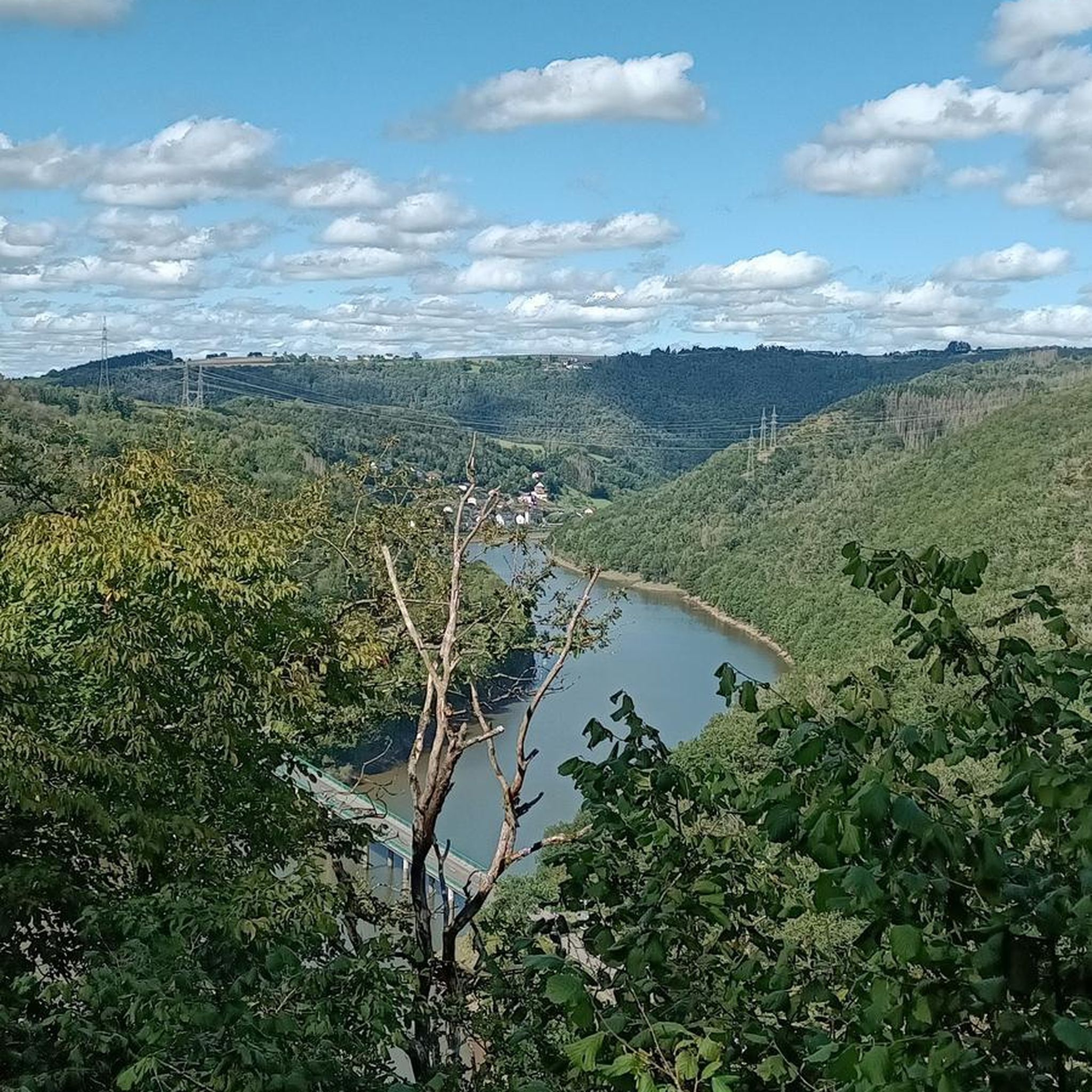
Along the road you can get great views of the small lakes on the side.
0
0
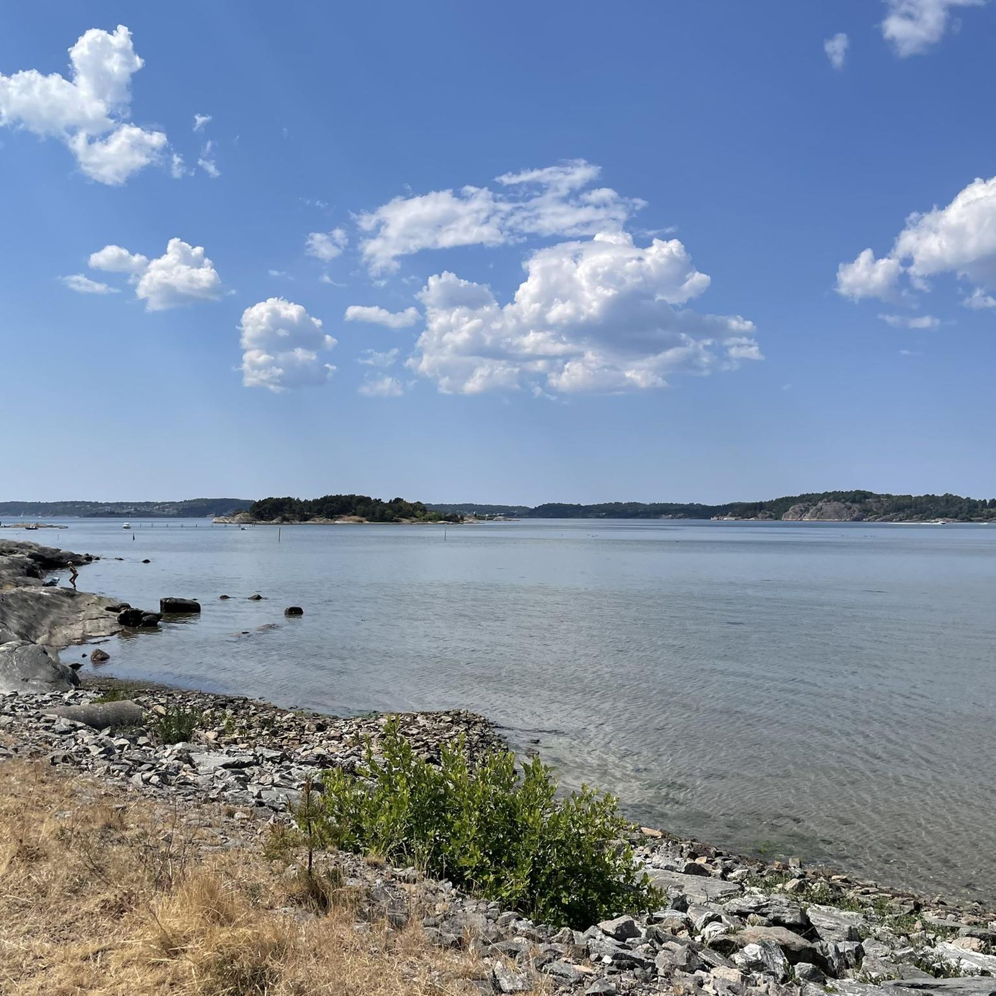
From this point you get a great view of the beach.
1
0

Although the fortress is closed in winter, it is still worth visiting.
1
0

In the Middle Ages, Bohus Fortress was considered one of the largest, most massive and impregnable fortresses in Northern Europe. The fortress was the southernmost border fortress in Norway, built in 1308 by the Norwegian King Håkon V. Magnusson. The fortress is located on a 40 metre high cliff on the island of Bagaholmen. At that time, Bagaholmen was surrounded by the River Göta and lay at the intersection of the three neighbouring kingdoms (Norway to the west, Sweden to the east and Denmark to the south). From the fortress there was good control over shipping on the river.
0
0
Frequently Asked Questions
How many road cycling routes are available in Valevattnet?
There are 5 road cycling routes around Valevattnet listed on komoot, offering a variety of experiences for cyclists.
Are there easy road cycling routes for beginners in Valevattnet?
Yes, Valevattnet offers at least one easy road cycling route. For instance, the Bohus Fortress loop from Ranebolunds naturreservat is an easy 24.7-mile (39.8 km) trail that explores historical sites and natural areas.
What kind of scenery can I expect on road cycling routes in Valevattnet?
Road cycling in Valevattnet is characterized by diverse scenery, including views of the notable lake, surrounding forests, and rolling landscapes. Some routes also extend towards coastal areas, offering glimpses of the sea and significant bridges.
Are there any circular road cycling routes around Valevattnet?
All the road cycling routes listed for Valevattnet are circular loops, designed to bring you back to your starting point. Examples include the View of Tjörn Bridge and Beach – Skåra Hantverksbageri loop from Ucklum and the Hasteröd damm loop from Ucklum.
What do other cyclists say about road cycling in Valevattnet?
The komoot community rates road cycling in Valevattnet highly, with an average score of 4.0 stars. Cyclists often appreciate the varied terrain, which includes lake views, forested sections, and options that extend to coastal features.
Are there routes that offer coastal views or extend towards the coast?
Yes, some routes in Valevattnet provide scenic views towards the coast. The View of Tjörn Bridge and Beach – Skåra Hantverksbageri loop from Ucklum is a moderate 47.9-mile (77.1 km) path that specifically highlights views of the Tjörn Bridge and the coast.
What are the typical distances and durations for road cycling routes in Valevattnet?
Routes in Valevattnet vary in length and duration. For example, the Hasteröd damm loop from Ucklum is 20.3 miles (32.6 km) and takes about 1 hour 26 minutes, while the Västersjön – Rest Spot by the Lake loop from Ucklum is 78.4 km (48.7 miles) and typically takes over 3 hours.
What are the typical elevation gains on road cycling routes in Valevattnet?
The routes in Valevattnet feature a varied profile, providing both flatter sections and moderate climbs. Elevation gains can range from around 290 meters (950 feet) for shorter routes like the Bohus Fortress loop to over 640 meters (2100 feet) for longer, more challenging rides such as the Västersjön loop.
Are there any moderate difficulty road cycling routes in Valevattnet?
Yes, the majority of road cycling routes in Valevattnet are rated as moderate. These include the Rännorna – Bratteforsåns naturreservat loop from Ucklum, which is 33.5 km (20.8 miles) with an elevation gain of approximately 330 meters.
What is the best time of year for road cycling in Valevattnet?
While specific seasonal details for Valevattnet are not available, road cycling in Västra Götaland, Sweden, is generally most enjoyable from late spring through early autumn (May to September), when the weather is milder and daylight hours are longer. Always check local weather conditions before heading out.
Are there options for longer road cycling tours in Valevattnet?
Yes, Valevattnet offers longer road cycling options for those seeking more extensive rides. The Västersjön – Rest Spot by the Lake loop from Ucklum, for example, covers 78.4 km (48.7 miles) and features significant elevation gain, making it a substantial tour.
Most popular routes around Valevattnet

Get inspired with the komoot mobile app


Explore more
Browse the best Road cycling routes in other regions.
