The best cycling routes in Mono County
4.1
(11)
628
riders
44
rides
Touring cycling in Mono County offers diverse landscapes, from the high desert valleys to the majestic Sierra Nevada Mountains. The region is characterized by dramatic mountain ranges, alpine lakes, and unique volcanic formations, with U.S. Highway 395 winding along the Eastern Sierra. Cyclists will find varied terrain including forests of pine and juniper, vibrant aspen groves, and sage-covered high desert. This area provides extensive public lands within the Inyo and Humboldt-Toiyabe National Forests, offering numerous routes for exploration.
Best touring…
Last updated: September 27, 2026
9.42km
00:28
50m
260m
Embark on the Mammoth Scenic Ride, an easy touring cycling route that winds through a dense Jeffrey pine forest. As you pedal, you might catch the distinct vanilla scent of…
5.0
(1)
89
riders
20.4km
01:29
410m
410m
Embark on a moderate touring bicycle ride along the Lakes Basin Path, a paved route that stretches 12.7 miles (20.4 km) through the scenic Inyo National Forest. As you cycle,…

70
riders
25.7km
02:00
380m
380m
Embark on the Mammoth Scenic Loop for a moderate touring bicycle ride that combines paved and unpaved sections through a dense Jeffrey pine forest. This 16.0-mile (25.7 km) route will…
21
riders
22.7km
01:39
460m
460m
Embark on a difficult touring bicycle journey along the Minaret Summit loop, a challenging ride that spans 14.1 miles (22.7 km). You will conquer a substantial 1499 feet (457 metres)…
4.0
(1)
12
riders
34.1km
02:32
390m
390m
Cycle the moderate 21.2-mile June Lake Loop in Inyo National Forest, passing four alpine lakes and enjoying stunning mountain views.
2
riders
36.7km
02:44
450m
450m
The Mammoth Lakes to Convict Lake loop is a challenging touring cycling route that immerses you in the raw beauty of the Eastern Sierra. As you pedal, you'll transition from…
3
riders
27.1km
02:02
610m
610m
This touring cycling route from Mammoth Mountain Resort to Devil's Postpile National Monument offers an incredible journey through the Eastern Sierra's dramatic landscape. You'll descend through dense forests and canyons,…
2
riders
34.0km
02:05
220m
220m
Cycle the 21.1-mile Twin Lakes Road near Bridgeport, California, for moderate touring with scenic Eastern Sierra views and two lovely lakes.
1
riders
34.0km
02:37
270m
260m
Cycle the moderate 21.1-mile Mono Lake loop from Lee Vining, California, for unique tufa formations and volcanic landscapes.
43.5km
03:05
330m
330m
Cycle 27.0 miles from Mammoth Lakes to Wild Willie Hot Springs, a difficult route with mixed terrain and scenic Sierra views.
Get access to more routes and recommendations from other explorers.
Already have an account?
Our route recommendations are based on thousands of hikes, rides, and runs completed by other people on komoot.
Start today with a free account
Your next adventure awaits.

Tips from the Community

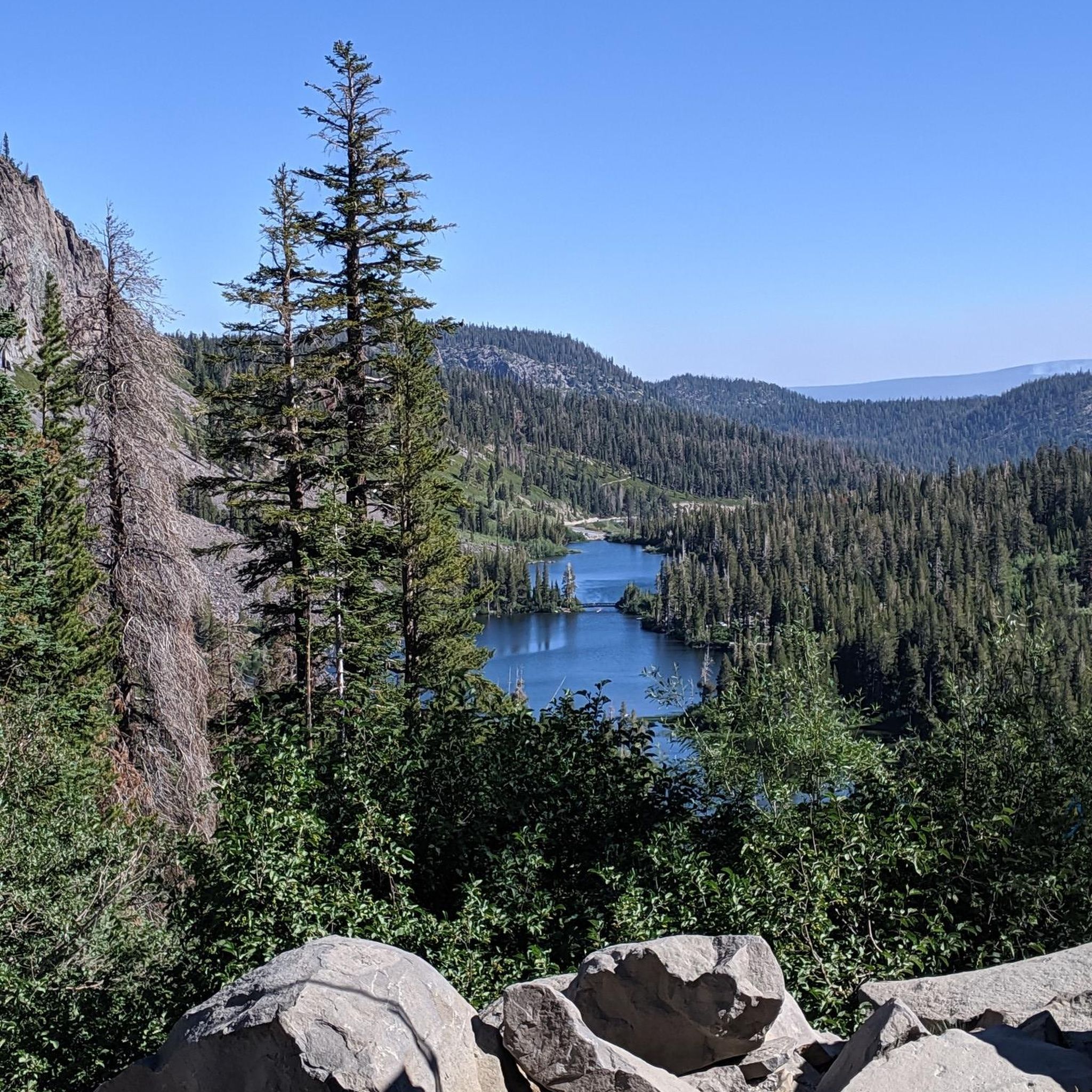
Twin Falls connects Twin Lakes and Mamie Lake. This small stretch of river cascades down the rocks, flowing through a small patch of forest. It can be viewed from the trail or the road, and if you venture a little further up, you’ll also get a view of Twin Lakes.
0
0

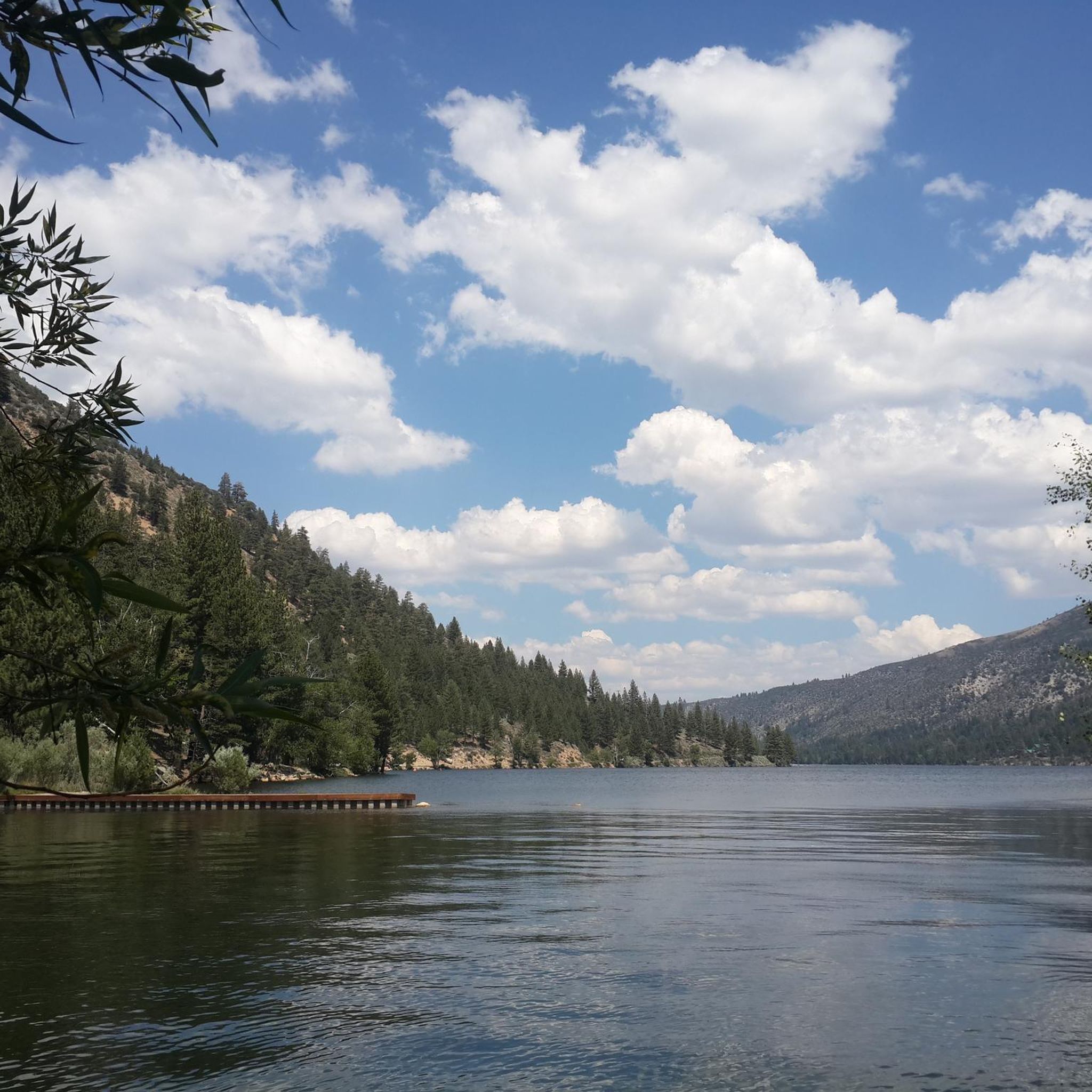
Great mountain lake that invites you to swim and is ideal for a short walk.
0
0

Minaret Vista offers a stunning view of Mammoth Lakes' iconic skyline, the Minarets, which are part of the Ritter Range. You will recognize them by the sharp, jutting spires that are outstanding. You can also spot Mount Ritter at 13,157 feet and Banner Peak at 12,945 feet (3,945 meters), the two tallest peaks in the range.
0
0

Mammoth Lakes is a popular and busy year-round tourist destination. While the town is small, the area is huge and has something to offer for everyone. Skiing and snowboarding dominate during winter, but the summer has everything from hiking and biking to music festivals, fishing, swimming and more.
0
0
Twin Falls tumbles 250 feet down from Lake Mamie to Twin Lakes in the valley below. The incredible view allows you to take in Panorama Dome, the falls, Twin Lakes and more.
0
0
At 650 years old, Panum Crater is a fairly young volcanic crater in the Mono Lake Area. A rim trail leads around, the short plug trail directly up to the maw.
0
0
The otherworldly tufa towers of Mono Lake are formed by the mixing of the heavily alkaline lake water with fresh natural spring water, bubbling up from below. The tufas and their surroundings are an important habitat for the 1-2 million birds feed, nest, or rest at Mono Lake each year.
0
0
Lee Vining is the gateway to Yosemite for those entering or exiting the park via Tioga Pass. This small town is well stocked and ready to deal with the hordes of tourists that make the trek to park each year. You'll find great food, interesting souvenirs, and a unique charm that is endemic to the Eastern Sierra.
0
0
Frequently Asked Questions
How many touring cycling routes are available in Mono County?
Mono County offers a diverse selection of touring cycling routes, with over 50 routes documented on komoot. These routes cater to various skill levels, including 6 easy, 28 moderate, and 16 difficult options, ensuring there's a ride for every cyclist.
Are there any easy touring cycling routes suitable for beginners or families?
Yes, Mono County has several easy touring cycling routes perfect for beginners or families. One excellent option is the Mammoth Scenic Ride, which offers a gentle introduction to the region's beautiful landscapes. The June Lake Loop is also celebrated for its moderate elevation gains, making it suitable for less-experienced cyclists while winding through a glacial-carved canyon and passing four alpine lakes.
What are some challenging touring cycling routes for experienced riders?
For experienced cyclists seeking a challenge, Mono County delivers with routes like the Minaret Summit loop, which features significant elevation changes. Another demanding option is the Mammoth Mountain Resort to Devil's Postpile National Monument route, known for its substantial climbs. Additionally, the Mammoth Lakes to Convict Lake loop provides a difficult yet rewarding experience with stunning views.
Are there any circular touring cycling routes in Mono County?
Yes, Mono County features several excellent circular touring cycling routes. The June Lake Loop is a highly scenic option, winding through a glacial-carved canyon and passing four alpine lakes. Another popular choice is the Mono Lake loop from Lee Vining, California, which showcases unique tufa formations and volcanic landscapes. For a more challenging circular ride, consider the Minaret Summit loop.
What kind of landscapes can I expect to see while touring cycling in Mono County?
Mono County offers incredibly diverse landscapes for touring cyclists. You'll encounter dramatic mountain ranges of the Sierra Nevada, high desert valleys, pristine alpine lakes, and unique volcanic formations. Routes often traverse forests of Jeffrey and lodgepole pine, junipers, and vibrant aspen groves, alongside sage-covered high desert. U.S. Highway 395, a state-designated Scenic Byway, provides breathtaking vistas along the foot of the Eastern Sierra.
What are some notable natural attractions or landmarks to explore along the cycling routes?
Mono County is rich with natural attractions. You can cycle past the otherworldly tufa towers of Mono Lake (South Tufa Area), explore the scenic beauty of Twin Lakes, or visit the Mono Basin Scenic Area Visitor Center for more insights into the region's ecology. The Mammoth Scenic Loop offers views of the Inyo Craters, showcasing the area's volcanic history. For a unique experience, the Mammoth Lakes, California to Wild Willie Hot Springs route leads to natural hot springs.
What do other touring cyclists say about the routes in Mono County?
The touring cycling routes in Mono County are highly regarded by the komoot community, with an average rating of 3.8 stars from over 7 reviews. Cyclists frequently praise the stunning Sierra Nevada mountain vistas, the beauty of the alpine lakes, and the unique volcanic landscapes that define the region. Many appreciate the variety of routes available for different ability levels, from easy rides to challenging mountain passes.
Are there any routes that pass by lakes or offer water views?
Absolutely. Mono County is dotted with numerous alpine lakes, and many routes offer stunning water views. The June Lake Loop is famous for passing four distinct alpine lakes. The Lakes Basin Path provides scenic views of Twin Lakes and Horseshoe Lake. Additionally, the Robinson Creek & Twin Lakes via Twin Lakes Road route also offers beautiful lakeside scenery.
What is the best season for touring cycling in Mono County?
The best season for touring cycling in Mono County is generally from late spring through early fall. During these months, the weather is typically mild, and most mountain passes and roads are clear of snow. Summer offers warm, sunny days, while fall brings vibrant aspen colors, creating a spectacular backdrop for your ride. Always check local weather and road conditions before heading out, especially for higher elevation routes.
Are there opportunities for multi-day bike touring in Mono County?
While specific multi-day touring routes are not explicitly detailed in the guide, Mono County's extensive network of roads and scenic byways, combined with its numerous towns and accommodation options, makes it an excellent region for planning multi-day bike tours. You can link various routes, such as the June Lake Loop with sections of U.S. Highway 395, to create longer journeys. The presence of huts and cabins, like those listed in the Huts and Cabins in Mono County guide, can also support multi-day adventures.
Can I find routes that offer views of the Sierra Nevada Mountains?
Yes, nearly all touring cycling routes in Mono County offer spectacular views of the Sierra Nevada Mountains. The region is situated directly at the foot of the Eastern Sierra, with U.S. Highway 395, a state-designated Scenic Byway, traversing the county and providing continuous breathtaking vistas. Routes like the Mammoth Scenic Loop and the June Lake Loop are particularly renowned for their panoramic mountain backdrops.
Most popular routes in Mono County
Most popular attractions in Mono County

Get inspired with the komoot mobile app


Didn’t find what you were looking for?
Check out more Cycling routes throughout Mono County below and find the perfect route in your destination.
Explore more
Browse the best Cycling routes in other regions.
