The best road cycling routes in Franklin County
4.8
(15)
497
riders
33
rides
Road cycling in Franklin County offers a diverse landscape characterized by rolling hills, river valleys, and forested areas. The region provides a mix of terrain, from flatter sections along waterways to more challenging ascents through rural countryside. Road cyclists can expect routes that navigate through historic towns and past natural features, with varying elevation profiles suitable for different skill levels.
Best road cycling routes in Franklin County
- The most popular road cycling route is Route 66 from Pacific, a…
Last updated: November 7, 2026
66.2km
03:08
620m
620m
Embark on a journey along a historic stretch of the Mother Road with the "Route 66 from Pacific" road cycling route. This moderate 41.2-mile (66.2 km) ride, with its 2039…
32
riders
Moderate road ride. Good fitness required. Mostly well-paved surfaces and easy to ride.

23
riders
78.7km
04:21
740m
740m
Moderate road ride. Good fitness required. Some segments of this route may be unpaved and difficult to ride.
23
riders
Easy road ride. Mostly well-paved surfaces and easy to ride.
12
riders
87.0km
06:22
720m
720m
Hard road ride. Very good fitness required. Some segments of this route may be unpaved and difficult to ride.
9
riders
21.3km
00:55
120m
120m
Easy road ride. Mostly well-paved surfaces and easy to ride.
8
riders
87.5km
04:38
1,050m
1,050m
Hard road ride. Very good fitness required. Mostly well-paved surfaces and easy to ride.
5.0
(1)
10
riders
Moderate road ride. Good fitness required. Mostly well-paved surfaces and easy to ride.
3
riders
77.5km
03:50
520m
520m
Moderate road ride. Good fitness required. Some segments of this route may be unpaved and difficult to ride.
5.0
(1)
7
riders
59.6km
03:15
370m
380m
Moderate road ride. Good fitness required. Some segments of this route may be unpaved and difficult to ride.
Get access to more routes and recommendations from other explorers.
Already have an account?
Our route recommendations are based on thousands of hikes, rides, and runs completed by other people on komoot.
Start today with a free account
Your next adventure awaits.
Popular around Franklin County





Tips from the Community

Known locally as “Devil’s Boot Cave,” this natural overhang carved in sandstone resembles the shape of a boot and stretches roughly 25 feet deep and wide, near Marthasville. Once used as a pioneer shelter and noted by local schools for nature trips, the site offers a little geological curiosity beside the trail—a hands-on reminder of Missouri’s limestone landscape and early frontier life. Great for a quick stop and photo op!
0
0

This is a paved trail that runs on top of the Levee that protects the Chesterfield Valley from the flood waters of the Missouri River. It is well-used and you can expect to encounter other cyclists, runners, in line skaters, and folks just out for a walk. The Monarch Levee Trail is linked to the World Famous KATY Trail via a separated bike lane on the Interstate 64 bridge across the Missouri River. There are plenty of parking areas along the trail length. I chose the trail head parking off of the Centaur Road. Expect to see wildlife such as foxes, turkey, deer, raccoons, and other critters mainly on the river side of the trail. On the Valley side is an airport, outlet mall, shopping centers, and entertainment venues. If you are looking for a peaceful serene ride this is NOT it. On a historical note, this levee was built after the devastating floods of 1993. This levee is nearly twice as high as the original levee. If you can imagine when you are looking out over the valley, the airport and all the buildings there, that in 1993 there was nearly 20 feet of water covering all of it! Rescue personnel used the interstate, which crosses the valley, as a boat ramp. All in all this is a well maintained wide trail that you will enjoy riding.
0
0
Had to include this very unusual find. I am assuming that this was a family cemetery and when the new levee, on top of which this bike trail runs, was built it must been over the old cemetery. So they relocated the cemetery to the top of the levee. These are very old, dating back to the 1890's. Be respectful and do not desecrate this place.
0
0

Busy road with broad shoulders. Lots of debris on the shoulders. But still a good ride.
0
0
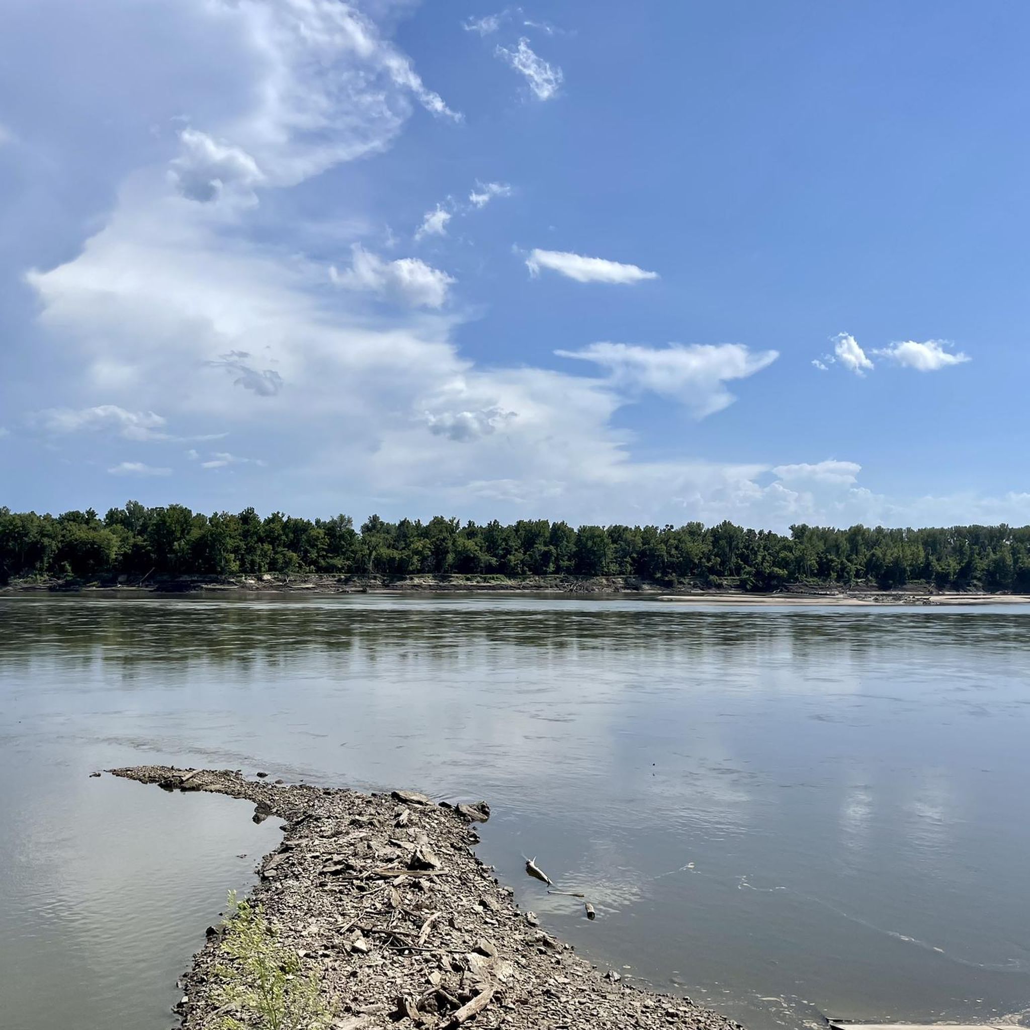
Fantastic trail along the Missouri. Can be busy with pedestrians.
0
0
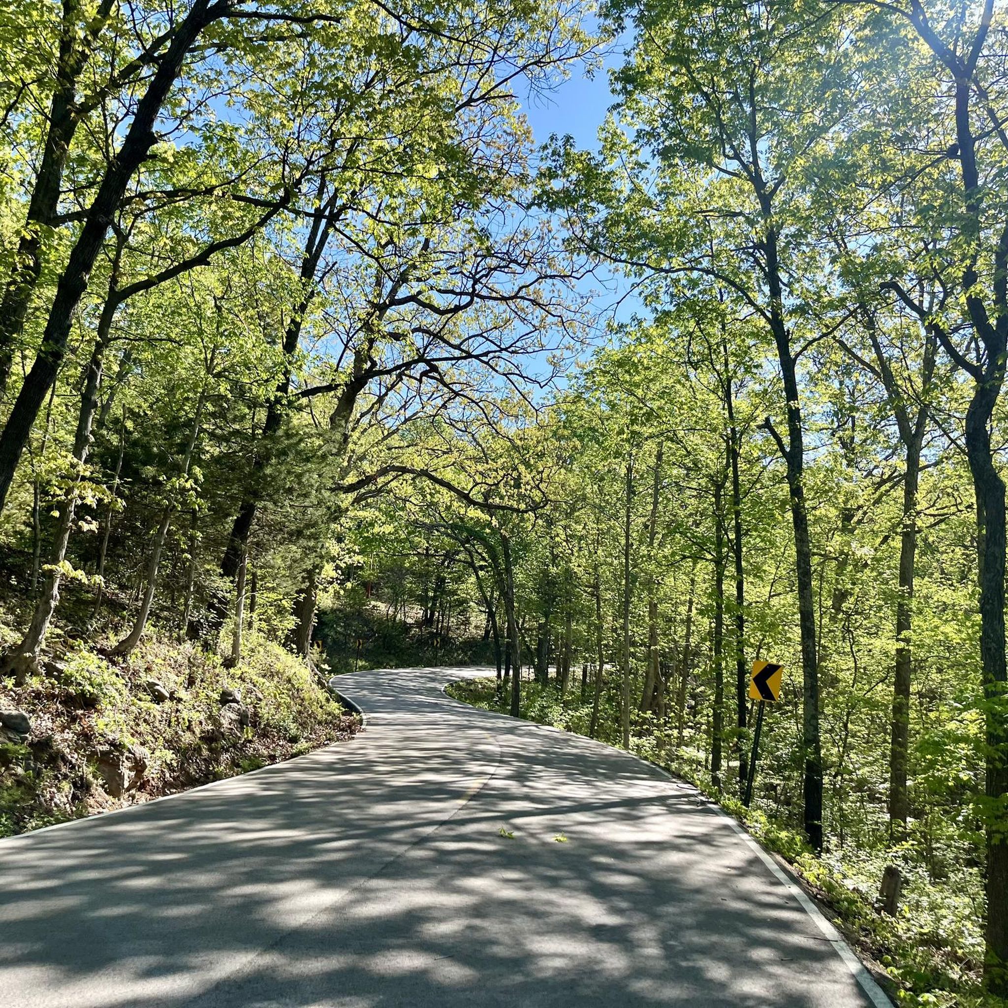
Scenic ride on Woods Avenue through the woods. Moderate climb if you’re going Eastbound, downhill otherwise.
0
0
Lovely ride through the valley
0
0
Frequently Asked Questions
How many road cycling routes are available in Franklin County?
Franklin County offers a wide selection of road cycling routes, with over 35 options available. These routes cater to various skill levels, from easy rides to more challenging ascents.
Are there easy road cycling routes suitable for beginners or families?
Yes, Franklin County has several easy road cycling routes. For a shorter, gentle ride through forested parkland, consider the Babler Monument loop from Dr. Edmund A. Babler Memorial State Park, which is about 8.9 miles (14.3 km) long. Another accessible option is the Monarch Levee Trail – Chesterfield Settlers Cemetery loop from Monarch-Chesterfield Levee Trail Parking, offering minimal elevation gain over 7.5 miles (12 km).
What are some longer distance road cycling routes in Franklin County?
For those seeking longer distances, Franklin County provides several routes over 40 miles. The popular Route 66 from Pacific covers 41.2 miles (66.2 km) with significant elevation gain. Another excellent choice is the Historic Bridge – Defiance loop from Lost Valley Trail Parking, extending to 48.9 miles (78.7 km) and offering extensive views.
Where can I find parking for road cycling routes in Franklin County?
Many routes in Franklin County start from designated parking areas. For example, the Historic Bridge – Defiance loop begins from Lost Valley Trail Parking. The Babler Monument loop starts conveniently from Dr. Edmund A. Babler Memorial State Park. Another option is the Monarch-Chesterfield Levee Trail Parking, which serves routes like the Le Cave Memorial Trailhead – Centaur Road loop.
Are there challenging road cycling routes for advanced riders?
Yes, Franklin County offers routes with significant elevation for advanced cyclists. The Bums Cave loop from Marthasville is classified as difficult, covering 48.4 miles (77.8 km) with over 1,700 feet (530 meters) of climbing. Routes like the Le Cave Memorial Trailhead – Centaur Road loop also present considerable elevation challenges over their 44-mile (71 km) distance.
What is the best time of year to go road cycling in Franklin County?
The best times for road cycling in Franklin County are typically spring and fall. During these seasons, the weather is generally mild and pleasant, with comfortable temperatures and beautiful scenery as foliage changes. Summer can be warm and humid, while winter can bring cold temperatures and potential for ice or snow, making spring and fall ideal for most riders.
What do other road cyclists enjoy most about the routes in Franklin County?
The road cycling routes in Franklin County are highly regarded by the komoot community, holding an average rating of 4.8 out of 5 stars. Reviewers frequently praise the diverse landscapes, which include rolling hills, scenic river valleys, and peaceful forested sections, offering a varied and engaging riding experience.
Are there any circular road cycling routes in Franklin County?
Many of the road cycling routes in Franklin County are designed as loops, allowing you to start and end at the same point. Examples include the Babler Monument loop, the Historic Bridge – Defiance loop, and the Old Highway 100 loop from Washington, providing convenient round-trip experiences.
What kind of terrain can I expect on road cycling routes in Franklin County?
Road cycling in Franklin County features a diverse terrain. You can expect a mix of rolling hills, flatter sections along river valleys, and rides through forested areas. This variety ensures routes suitable for different preferences, from gentle cruises to more demanding climbs.
Are there routes that pass through historic towns or offer scenic viewpoints?
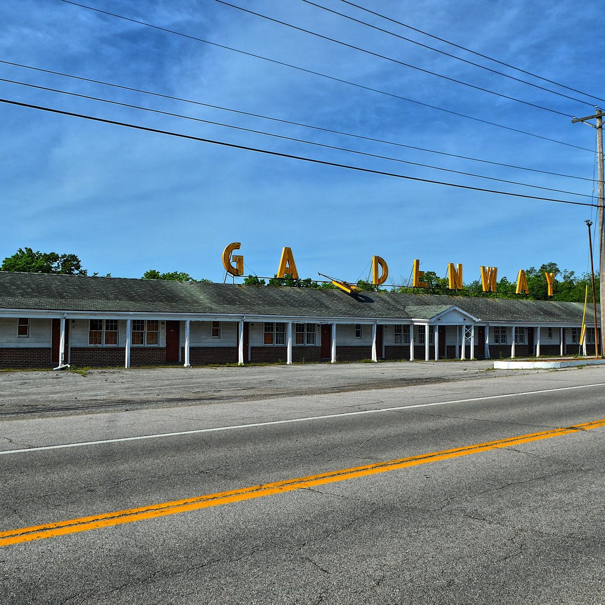
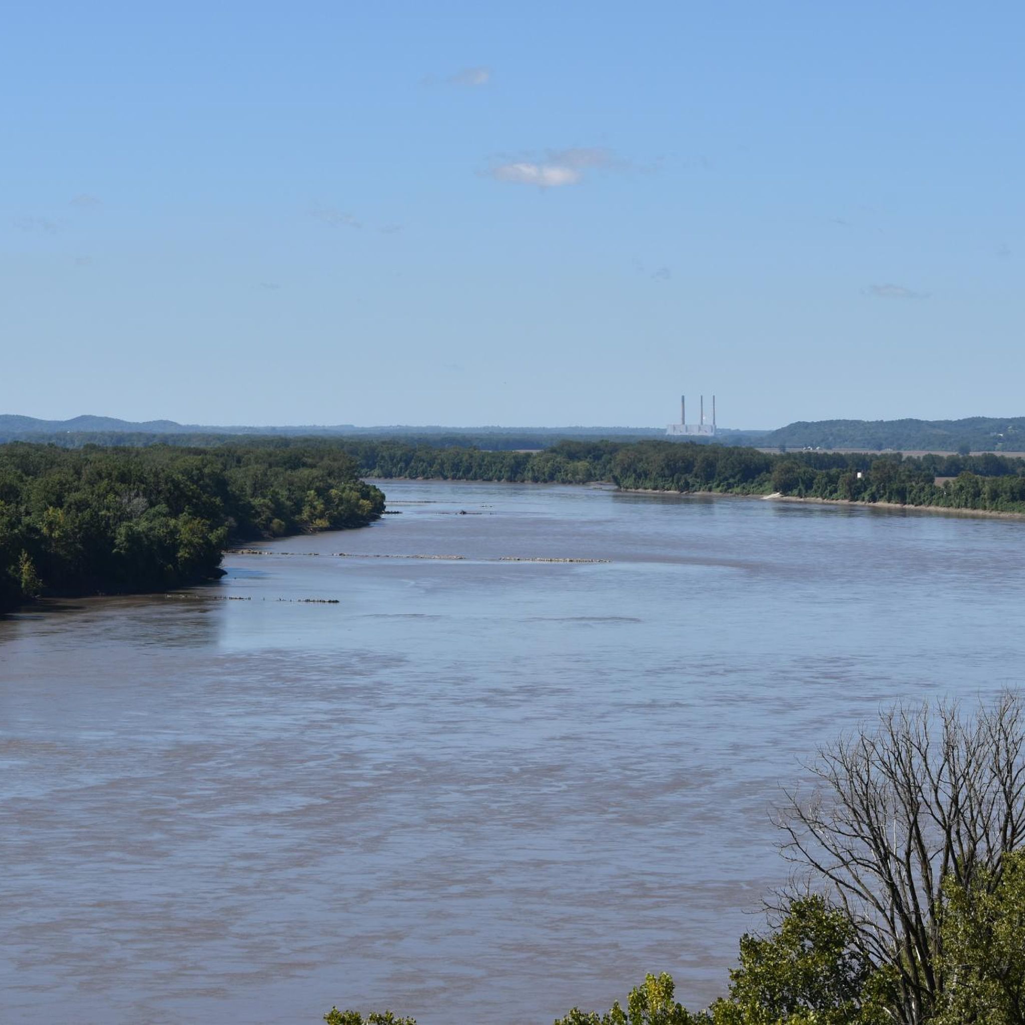
Yes, many routes in Franklin County navigate through charming historic towns and offer picturesque views. The Route 66 from Pacific takes you along a historic corridor, while the Historic Bridge – Defiance loop provides extensive views of the countryside, often including glimpses of the Missouri River valley.
Can I find road cycling routes that are less crowded or considered 'hidden gems'?
While popular routes like Route 66 are well-known, Franklin County's extensive network means you can often find quieter roads, especially away from major trailheads. Exploring routes like the Old Highway 100 loop from Washington can offer a more serene experience through rural landscapes, allowing you to discover less-traveled paths.
Most popular routes in Franklin County

Get inspired with the komoot mobile app


Didn’t find what you were looking for?
Check out more Road cycling routes throughout Franklin County below and find the perfect route in your destination.
Explore more
Browse the best Road cycling routes in other regions.
