The best walks and hikes in Burlington County
4.4
(39)
764
hikers
59
hikes
Hiking in Burlington County offers diverse natural features across its park systems and preserved areas. The region is characterized by the unique Pine Barrens ecosystem, featuring pine and oak forests, wetlands, and sandy soils. Trails also wind through deciduous forests, open grasslands, and along waterways like the Rancocas Creek and Mullica River. While generally flat, some areas present minimal elevation changes, such as Arney's Mount.
Best hiking trails in Burlington County
- The most popular hiking route is Peaceful Partners Trail…
Last updated: July 22, 2026
4.0
(2)
25
hikers
6.49km
01:40
30m
30m
Embark on the easy Batsto White Trail, a 4.0 miles (6.5 km) hike that takes about 1 hours and 40 minutes to complete. You will experience a gentle elevation gain…
3
hikers
3.05km
00:47
10m
10m
Embark on the Long Bridge Park Full Loop, an easy hiking route that offers a unique urban-natural experience. This paved trail spans 1.9 miles (3.1 km) with a gentle elevation…

Sign up for free
1
hikers
1.89km
00:29
0m
0m
The Atsion Lake Blue Trail offers a delightful, easy stroll through the unique New Jersey Pinelands, showcasing picturesque views of Atsion Lake and its cedar-tinted waters. You'll wander along smooth,…
2
hikers
3.73km
00:56
0m
0m
The Pompeston Creek Trail is an easy 2.3-mile (3.7 km) hike that offers a surprising variety of scenery for its short length. You'll follow the creek, enjoying the sounds of…
1
hikers
15.1km
03:48
20m
10m
The Mullica River Trail offers a deep dive into the unique ecosystem of the Pine Barrens, providing a sense of true wilderness. You'll traverse sandy paths under dense pine canopies,…
2
hikers
3.02km
00:46
10m
10m
Step into an otherworldly landscape on the Atlantic White Cedar Trail, an easy 1.9-mile (3.0 km) hike that takes about 45 minutes to complete. You'll gain a gentle 21 feet…
2
hikers
8.86km
02:14
20m
20m
If you're eager to explore the diverse landscapes of New Jersey's Pine Barrens, the 1808, Sand and Water, and Batona Trail Loop offers a fantastic experience. This moderate 5.5-mile (8.9…
1
hikers
6.75km
01:44
40m
10m
The Batona Trail: Carranza Memorial to Apple Pie Hill offers a distinct hiking experience through the New Jersey Pine Barrens. This easy 4.2-mile (6.8 km) route, with only 129 feet…
1
hikers
1.23km
00:19
0m
0m
The Boundary Creek Park Loop Trail offers a delightful and easy stroll through a varied landscape of forests, wetlands, and open fields, all while providing scenic views of the Rancocas…
6.27km
01:36
20m
20m
Explore the Peaceful Partners Trail and Long Path Loop, an easy hiking route spanning 3.9 miles (6.3 km) with a gentle elevation gain of 76 feet (23 metres). You can…
Get access to more routes and recommendations from other explorers.
Sign up for free
Already have an account?
Our route recommendations are based on thousands of hikes, rides, and runs completed by other people on komoot.
Start today with a free account
Your next adventure awaits.
Login or Signup
Popular around Burlington County





Other adventures in Burlington County

Tips from the Community

A twelve-foot stone pillar honors pilot Emilio Carranza, who crashed on his way home to Mexico after a goodwill flight over New York City in 1928. Carranza was returning Charles Lindbergh's goodwill flight over Mexico City from the previous year when he was caught in a thunderstorm over the pine barrens.
0
0
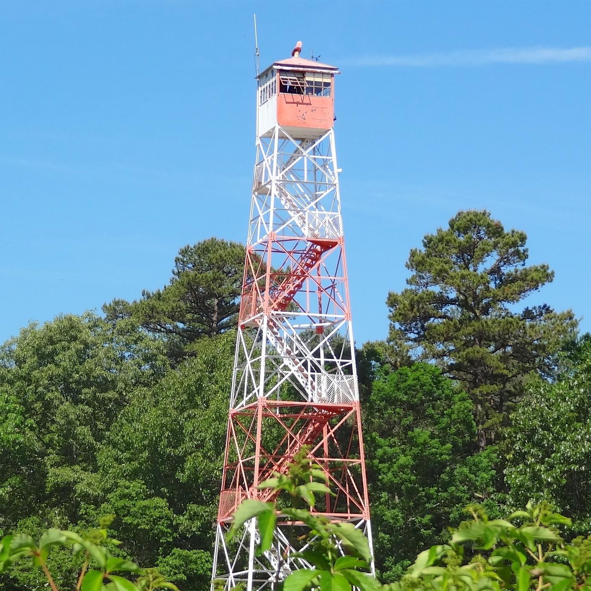
This is a great picnic spot with a table in view of the tower. The fire tower is fenced in around the base and closed when not on fire watch.
0
0
This accessible primitive campground has no water sources, but there is a vault toilet. The six spaces are all along the east side of the loop and are open to tent or RV camping. You can reserve ahead at https://www.njportal.com/DEP/NJOutdoors/Park/Search; the cost is $3 for New Jersey residents and $5 for non-residents. All sites are pet-friendly and you can add a pet for $5 when making the reservation.
0
0

Known for its serene lake, the area offers swimming, boating, and fishing opportunities during the summer months. Visitors can also enjoy picnicking, exploring nature trails, and playing in the playground. The surrounding forest provides a picturesque backdrop for outdoor activities such as hiking, biking, and birdwatching.
0
0
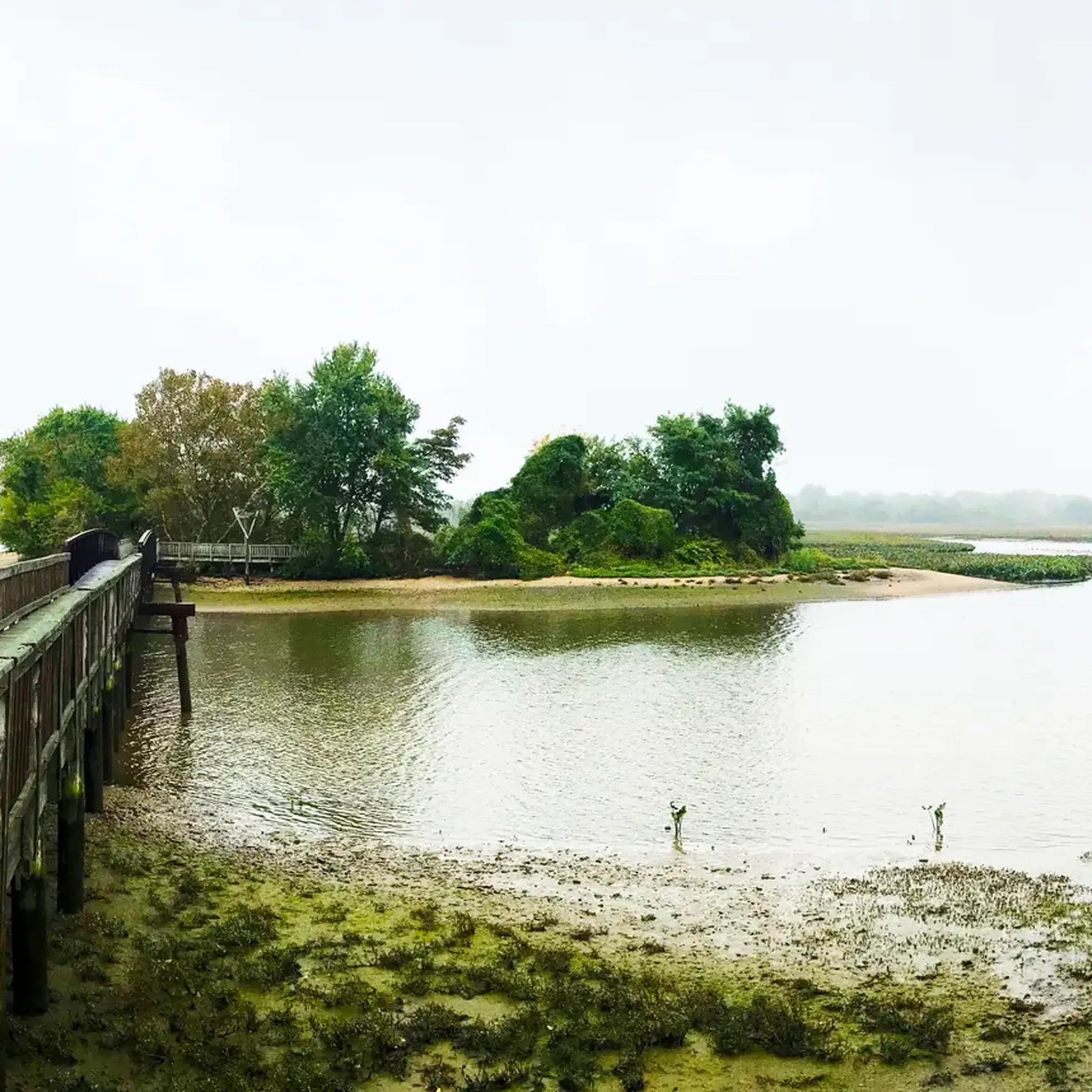
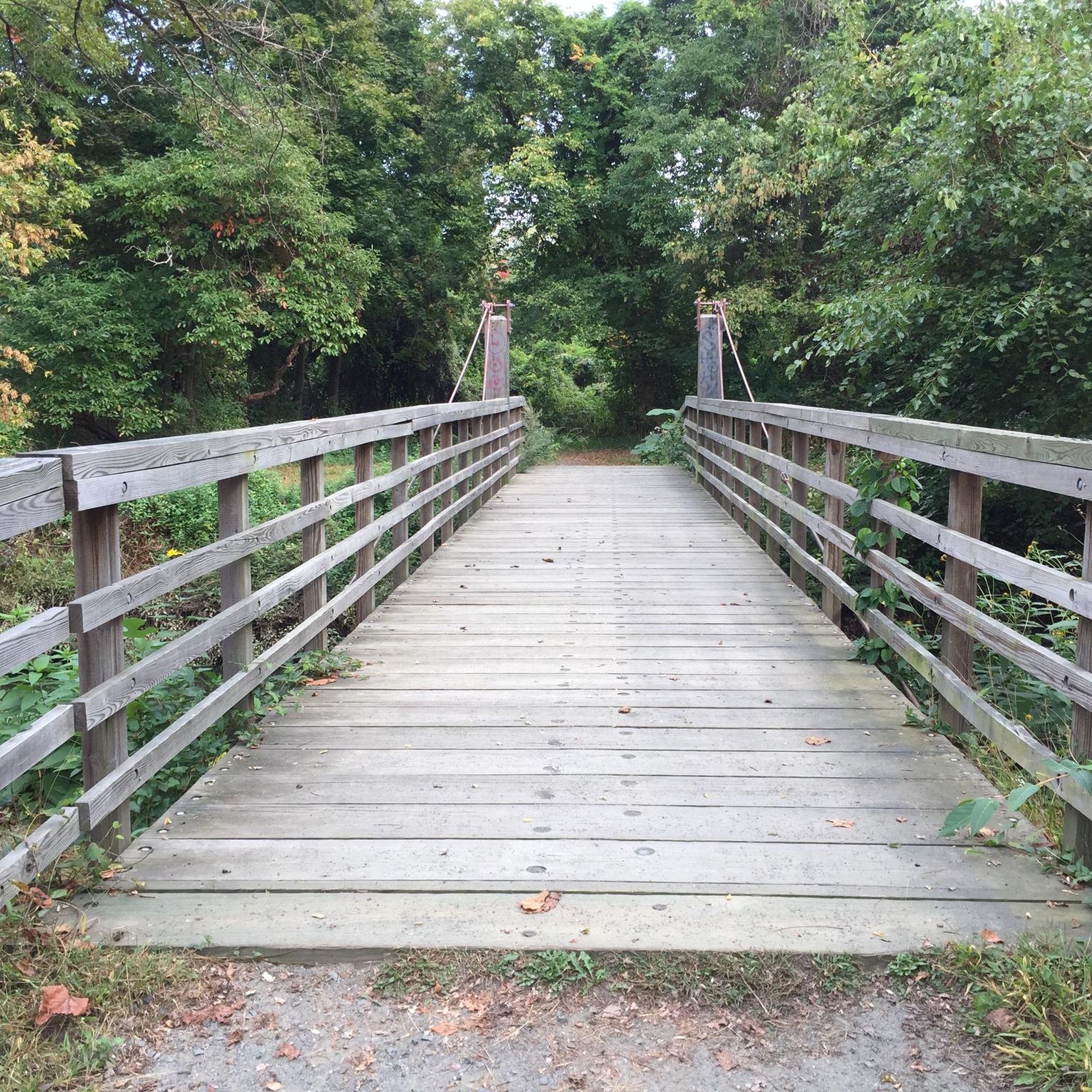
This short bridge going over Mechescatauxin Creek allows you to admire the beauty of this peaceful tributary to Mullica River, as you enjoy a serene escape into the heart of the Pine Barrens.
0
0
Frequently Asked Questions
How many hiking trails are available in Burlington County?
Burlington County offers a wide variety of hiking experiences, with over 30 routes documented on komoot. These range from easy strolls to more challenging excursions, catering to different skill levels.
Are there easy hiking trails suitable for beginners or families?
Yes, Burlington County has many easy trails perfect for beginners and families. Out of the 36 routes, 23 are rated as easy. A great option is the Creekside Trail loop — Rancocas State Park, which is 3.1 miles long and leads through forests and along the Rancocas Creek. Another family-friendly choice is the Peaceful Partners Trail & Long Path loop — Black Run Preserve, an easy 3.3-mile route exploring a unique ecosystem.
What kind of terrain can I expect on Burlington County hiking trails?
The terrain in Burlington County is quite diverse. A significant portion lies within the New Jersey Pine Barrens, featuring unique pine and oak forests, wetlands, and sandy soils. You'll also find trails winding through deciduous forests, open grasslands, and along waterways like the Rancocas Creek and Mullica River. While generally flat, some areas like Arney's Mount Park offer slight elevation changes.
Are there any trails with notable elevation changes for a more challenging hike?
While Burlington County is generally known for its flatter trails, some routes offer more significant distances and moderate elevation gains. For a more challenging experience, consider the Pakim Pond via Batona Trail — Brendan T. Byrne State Forest, which is a difficult 16.7-mile route with an elevation gain of about 220 feet (67 meters).
What interesting landmarks or natural features can I see along the hiking trails?
Burlington County's trails offer several points of interest. You can explore the unique Pine Barrens ecosystem in areas like Wharton State Forest and Brendan T. Byrne State Forest. Many trails follow rivers and creeks, providing opportunities for birdwatching. Notable attractions include Atsion Lake and Pakim Pond, both popular spots for recreation. Historic sites like Batsto Village in Wharton State Forest also offer a glimpse into the region's past.
Are there many circular hiking routes in Burlington County?
Yes, many of the hiking routes in Burlington County are designed as loops, offering convenient starting and ending points. Examples include the Red Footpath loop — Franklin Parker Preserve and the Harrisville Lake loop — Wharton State Forest.
Can I bring my dog on the hiking trails in Burlington County?
Generally, dogs are welcome on many hiking trails in Burlington County, provided they are kept on a leash. However, it's always recommended to check the specific rules and regulations of individual parks or preserves before your visit, as policies can vary.
What do other hikers enjoy most about hiking in Burlington County?
The hiking experiences in Burlington County are highly rated by the komoot community, with an average score of 4.3 stars. Reviewers often praise the diverse natural features, from the unique Pine Barrens to scenic river paths, and the well-maintained trails that cater to various ability levels.
Are there any trails that offer views or scenic overlooks?
While Burlington County is largely flat, areas like Arney's Mount Park, the highest point in the county at 243 feet, offer expansive views of farmlands and forests. Amico Island County Park is also praised for its great views and sandy coastline, providing scenic perspectives of the Delaware River.
What are some of the longer hiking options available?
For those seeking longer hikes, Burlington County offers several options. The Mount Misery Trail loop — Brendan T. Byrne State Forest is a moderate 9.8-mile route. Another substantial option is the Batona Trail & Cranberry Trail loop — Brendan T. Byrne State Forest, which covers 7 miles. The longest route listed is the difficult Pakim Pond via Batona Trail — Brendan T. Byrne State Forest at 16.7 miles.
Are there specific parks known for birdwatching or wildlife observation?
Yes, several parks in Burlington County are excellent for birdwatching and wildlife observation due to their diverse habitats. Boundary Creek Natural Resource Area, with its upland and lowland forests, fields, and tidal wetlands along the Rancocas Creek, is specifically designed for quiet nature study and offers great opportunities to spot birds and other wildlife.
Most popular routes in Burlington County
Most popular attractions in Burlington County

Get inspired with the komoot mobile app


Didn’t find what you were looking for?
Check out more Hikes throughout Burlington County below and find the perfect route in your destination.
Explore more
Browse the best Hikes in other regions.
