The best road cycling routes in Maricopa County
4.4
(229)
8,251
riders
440
rides
Road cycling in Maricopa County offers diverse landscapes, from rugged desert to majestic mountains and serene waterways. The region is characterized by its unique Sonoran Desert flora and fauna, providing sweeping vistas of cacti and dramatic rock formations. Numerous regional parks feature mountainous terrain, offering both scenic beauty and challenging climbs. Paved surfaces are common, with routes ranging from gentle pathways to significant elevation gains.
Best road cycling routes in Maricopa County
- The most popular road cycling route is McDowell…
Last updated: July 21, 2026
3.8
(4)
325
riders
79.0km
03:26
680m
680m
Moderate road ride. Good fitness required. Mostly well-paved surfaces and easy to ride.
5.0
(1)
158
riders
37.3km
01:49
560m
570m
Moderate road ride. Good fitness required. Mostly well-paved surfaces and easy to ride.

Sign up for free
4.7
(3)
112
riders
46.6km
02:20
600m
600m
Moderate road ride. Good fitness required. Mostly well-paved surfaces and easy to ride.
92
riders
73.4km
04:16
1,400m
1,400m
Hard road ride. Very good fitness required. Mostly well-paved surfaces and easy to ride.
4.6
(7)
80
riders
50.1km
02:08
370m
370m
Moderate road ride. Good fitness required. Mostly well-paved surfaces and easy to ride.
5.0
(2)
79
riders
57.7km
02:31
260m
260m
Moderate road ride. Good fitness required. Mostly well-paved surfaces and easy to ride.
4.0
(1)
53
riders
36.7km
01:39
190m
190m
Easy road ride. Great for any fitness level. Mostly well-paved surfaces and easy to ride.
5.0
(2)
38
riders
45.2km
01:50
170m
170m
Easy road ride. Great for any fitness level. Mostly well-paved surfaces and easy to ride.
5.0
(6)
40
riders
44.2km
01:59
70m
70m
Easy road ride. Great for any fitness level. Mostly well-paved surfaces and easy to ride.
5.0
(1)
26
riders
84.0km
03:19
180m
180m
Moderate road ride. Good fitness required. Mostly well-paved surfaces and easy to ride.
Get access to more routes and recommendations from other explorers.
Sign up for free
Already have an account?
Our route recommendations are based on thousands of hikes, rides, and runs completed by other people on komoot.
Start today with a free account
Your next adventure awaits.
Login or Signup
Popular around Maricopa County
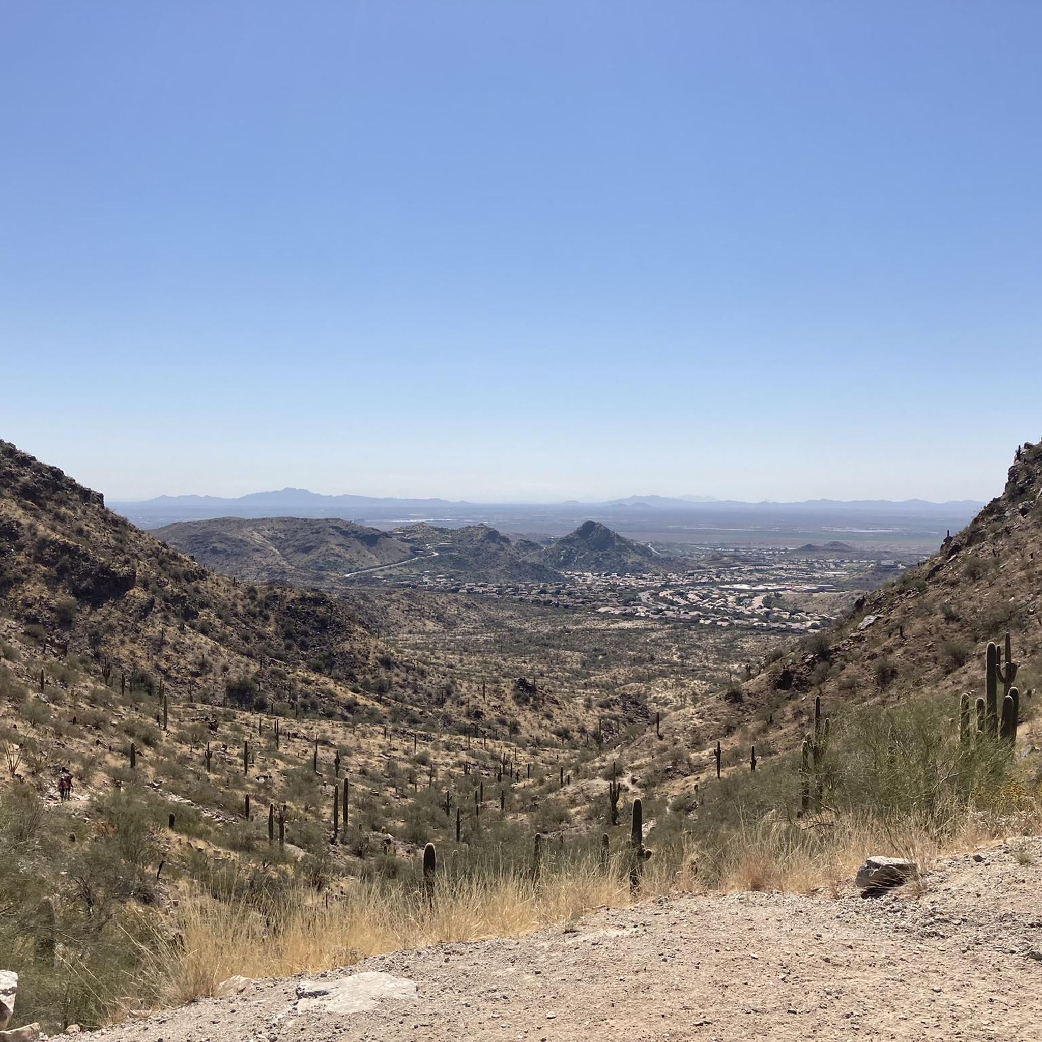
Road Cycling Routes around Phoenix
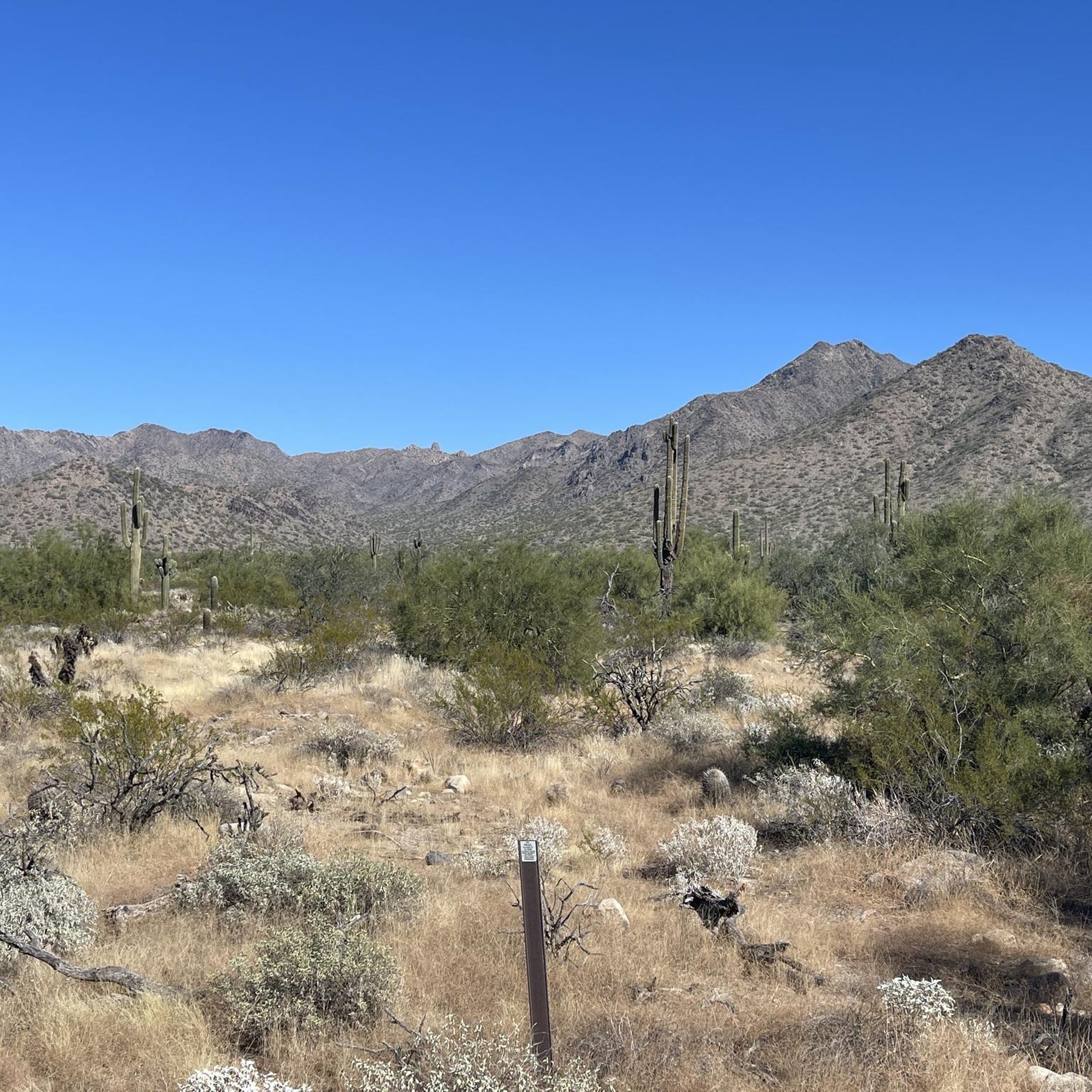
Road Cycling Routes around Scottsdale
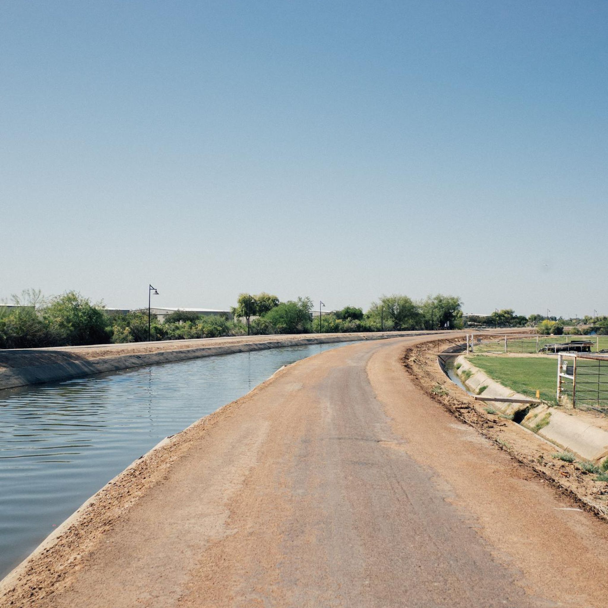
Road Cycling Routes around Chandler
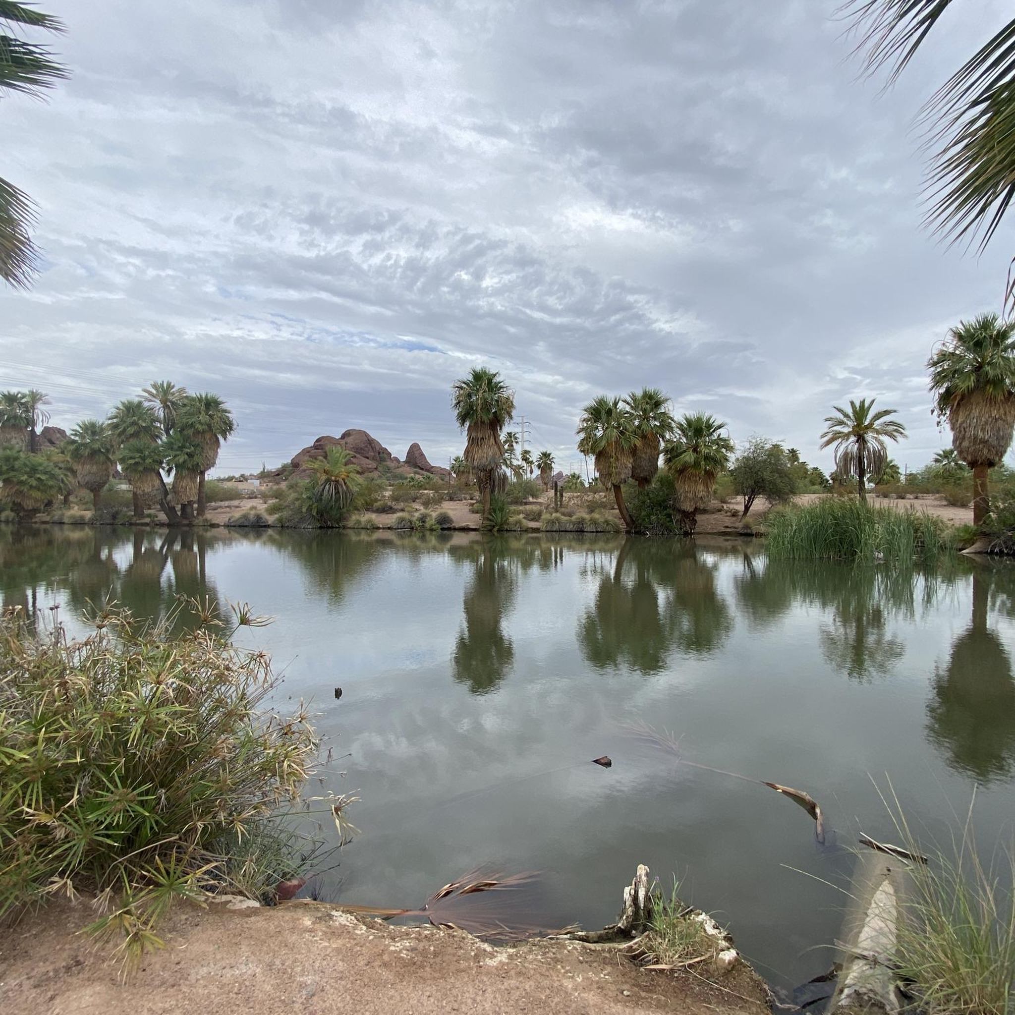
Road Cycling Routes around Tempe
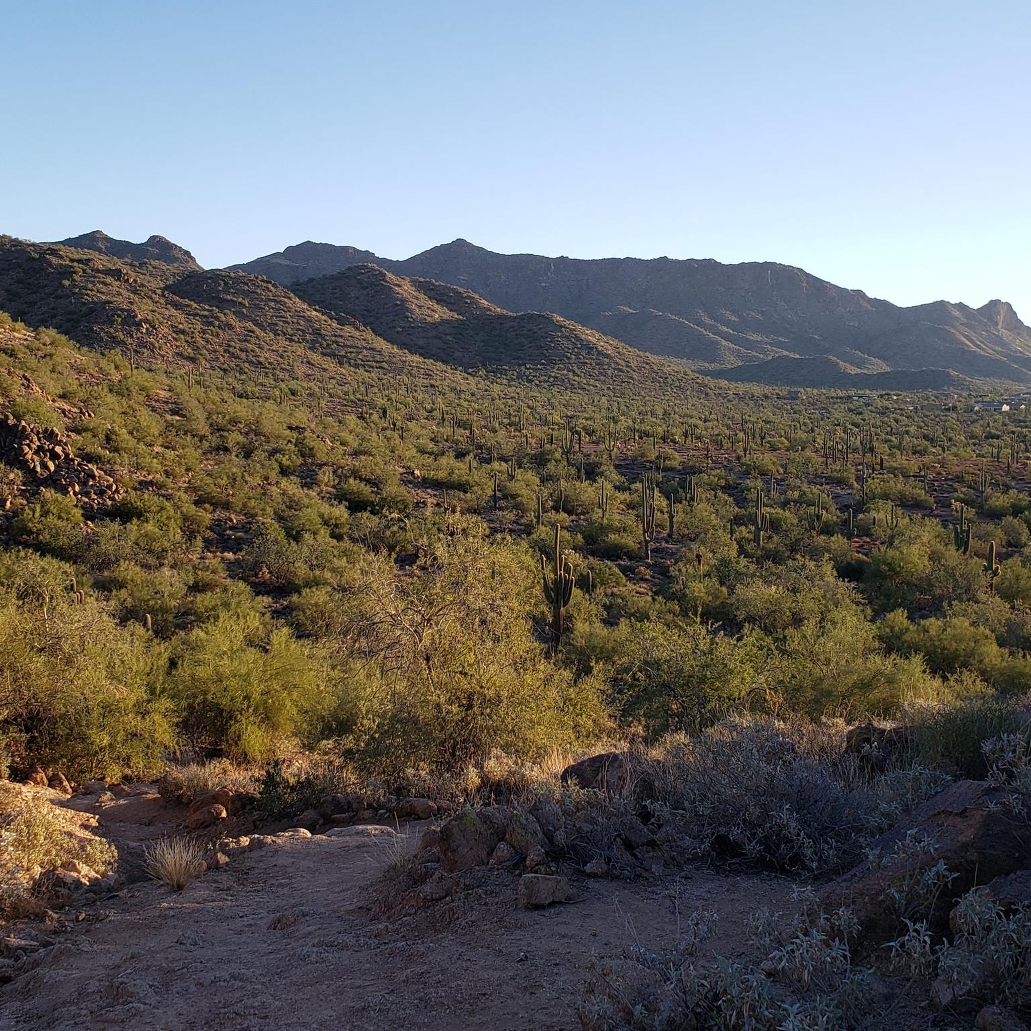
Road Cycling Routes around Mesa
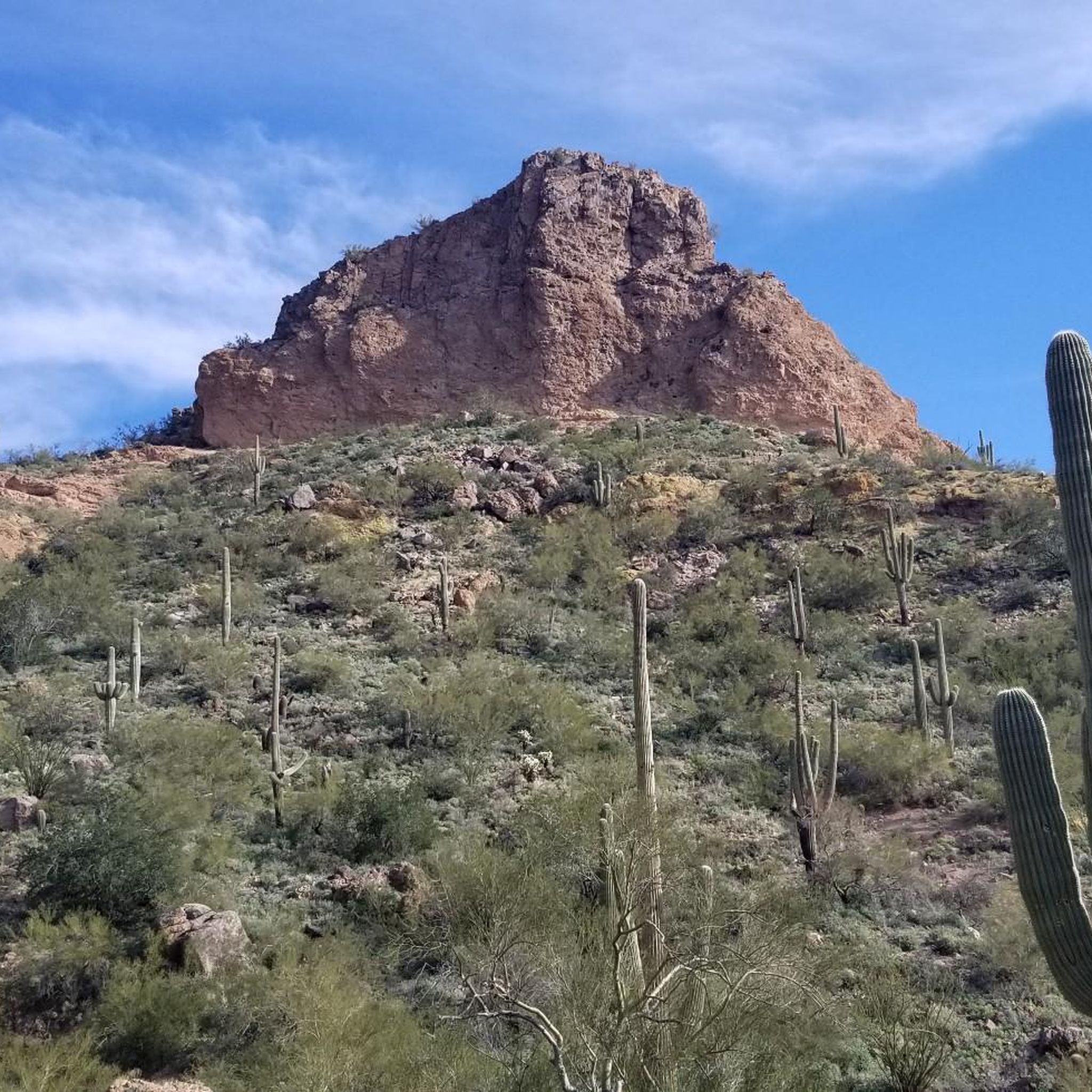
Road Cycling Routes in Usery Mountain Regional Park
Road Cycling Routes around Youngtown
Road Cycling Routes around El Mirage
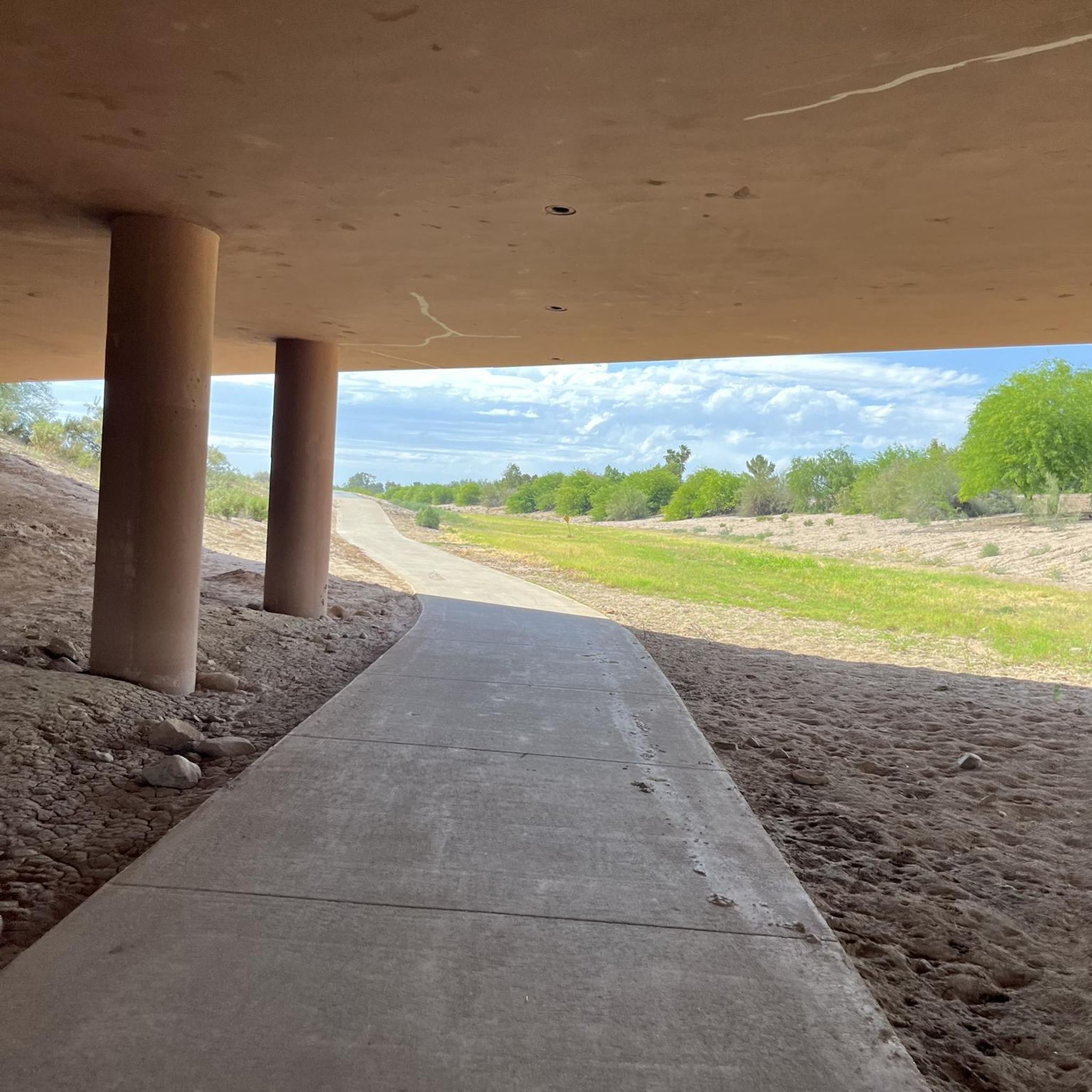
Road Cycling Routes around Gilbert
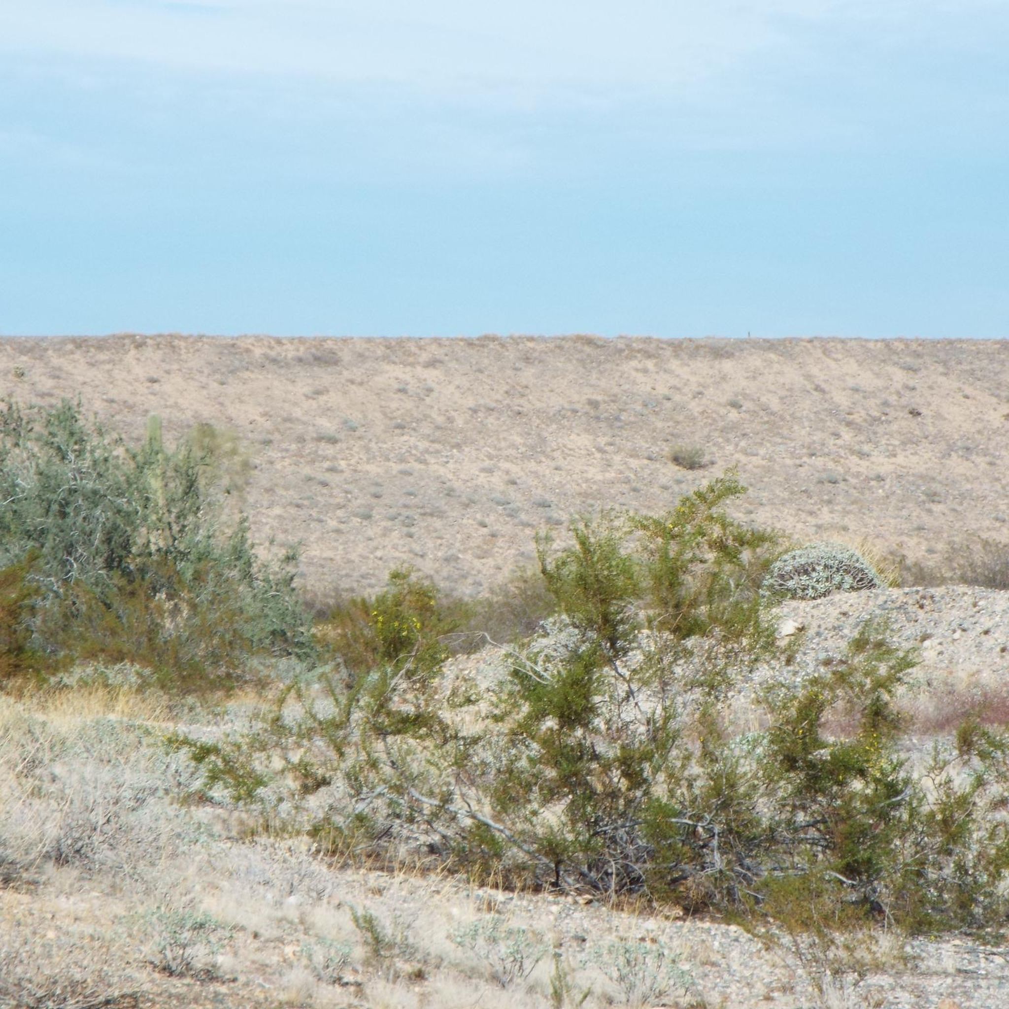
Road Cycling Routes in Cave Buttes Recreation Area
Other adventures in Maricopa County


Tips from the Community

The fitness loop around the golf course is perfect for a Gravel bike.
1
0

Easy to access from the city, perfect for post work laps
0
0

Pass over the Central Arizona Central Canal and continue up the road for about 0.6 miles (1km) to Taliesin West. This area was Frank Lloyd Wright’s desert laboratory and winter home. It is now a UNESCO World Heritage Site. It is open to the public, and reservations are strongly recommended. Taliesin West is open from 10:00 a.m. to 5:00 p.m.
0
0
Enjoy this climb up to this South Mountain Peak! Stay hydrated and consider riding up during the cooler hours of the day. The mountain has an elevation of about 2710 feet. The road is smooth and though it's challenging to ride up the last .5 mile at 15% grade, it makes for a fun ride down.
0
0
West Chandler Boulevard runs parallel to the AZ 202 Loop Highway. It is a bike route running through the residential neighborhood and through some open desert landscape in between!
0
0

Kiwanis Park has playgrounds, a lake, sports fields, and a paved trail around the lake. It's a popular spot for families in Tempe and is perfect for a slow ride with the kids.
0
0
Easy riding for the family around a couple of small lakes in South Phoenix.
0
0
Frequently Asked Questions
How many road cycling routes are available in Maricopa County?
Maricopa County boasts a wide selection of road cycling routes, with over 400 options available. These routes cater to various preferences, from leisurely rides to challenging climbs, ensuring there's something for every cyclist.
Are there road cycling routes suitable for beginners or those seeking an easy ride?
Yes, Maricopa County offers numerous routes perfect for beginners or those looking for an easier ride. With over 180 easy-rated routes, you can enjoy gentle pathways and scenic desert views. A great option for a relatively flat and accessible ride is the Sun Circle Trail, which offers minimal elevation gain.
What are some challenging road cycling routes for experienced riders in Maricopa County?
For experienced riders seeking a challenge, Maricopa County provides several routes with significant elevation gains. The Bartlett Reservoir via Bartlett Dam Road route is a difficult option, featuring over 1,400 meters of ascent. Another challenging climb can be found on the South Mountain Summit Road, known for its sustained gradients.
What kind of scenery can I expect on road cycling routes in Maricopa County?
Road cycling in Maricopa County offers diverse and stunning scenery. You'll experience the unique Sonoran Desert with its iconic cacti and dramatic rock formations, especially beautiful during the spring wildflower bloom. Many routes also feature majestic mountain backdrops, serene waterways like Lake Pleasant and Canyon Lake, and even urban landscapes blending with nature.
Are there any scenic viewpoints or landmarks along the road cycling routes?
Absolutely! Maricopa County's routes often pass by or lead to impressive viewpoints and natural landmarks. You can find rewarding views at the Gila Valley Lookout on South Mountain, or explore areas like the Phoenix Mountains Preserve. The Buena Vista Lookout & Mount Suappoa loop is specifically designed to offer rewarding vistas.
What is the best time of year to go road cycling in Maricopa County?
The generally favorable weather conditions make Maricopa County excellent for road cycling for much of the year. Spring, particularly March and April, is highly recommended as wildflowers bloom, adding vibrant color to the desert landscape. Winter also offers pleasant temperatures for riding, while summer can be very hot, requiring early morning rides and ample hydration.
Are there any family-friendly road cycling options in Maricopa County?
Yes, Maricopa County has options suitable for families. Many of the easier routes, particularly those on multi-use pathways like sections of the Arizona Canal Trail or the Phoenix Sonoran Preserve loop, offer relatively flat and safe environments for family rides. These routes often provide a chance to enjoy the desert scenery without significant challenges.
Can I find long-distance road cycling routes in Maricopa County?
Yes, Maricopa County offers several long-distance road cycling routes for those looking to cover more ground. The McDowell Mountain loop is nearly 50 miles long, and the Saguaro Lake & Salt River loop extends for over 60 miles, providing extensive riding opportunities through diverse landscapes.
Are there any road cycling routes that are loops?
Many road cycling routes in Maricopa County are designed as loops, offering a convenient way to start and end your ride in the same location. Popular loop routes include the McDowell Mountain loop, the Buena Vista Lookout & Mount Suappoa loop, and the Ahwatukee Foothills loop.
What do other road cyclists say about the routes in Maricopa County?
The road cycling routes in Maricopa County are highly regarded by the komoot community, holding an impressive average rating of 4.4 stars from over 200 reviews. Cyclists frequently praise the diverse desert scenery, the well-maintained paved surfaces, and the variety of routes available for all fitness levels.
Are there road cycling routes near water features or lakes?
Yes, Maricopa County offers scenic road cycling opportunities near its beautiful lakes and waterways. The roads leading to and around Lake Pleasant Regional Park provide picturesque views, and the Saguaro Lake & Salt River loop offers stunning vistas of these natural features. Canyon Lake, located in the Tonto National Forest, is also part of a scenic route past the Superstition Mountains.
Most popular routes in Maricopa County
Most popular attractions in Maricopa County

Get inspired with the komoot mobile app


Didn’t find what you were looking for?
Check out more Road cycling routes throughout Maricopa County below and find the perfect route in your destination.
Explore more
Browse the best Road cycling routes in other regions.
