The best cycling routes in Shasta County
4.7
(8)
213
riders
28
rides
Touring cycling routes in Shasta County traverse a diverse landscape at the northern end of the Sacramento Valley. The region features a mix of towering peaks, lush forests, rolling hills, and fertile valleys, with the Sacramento River flowing through its heart. This topography provides varied terrain for cycling, from paved river trails to more challenging routes with elevation changes.
Best touring cycling routes in Shasta County
- The most popular touring cycling route is Oak Savannah Arboretum – Sundial Bridge loop from Pilgrim Congregational Church, an 18.8 miles (30.3 km) trail that takes 2 hours 5 minutes to complete. This route offers scenic views along the Sacramento River.
- Another top favourite among local touring cyclists is Sundial Bridge – Ribbon Bridge loop from Enterprise, a moderate 25.4 miles (40.8 km) path. This route connects key landmarks and showcases the region's varied terrain.
- Local touring cyclists also love the Historic Downtown Redding – Ribbon Bridge loop from Redding, a 16.0 miles (25.7 km) trail leading through urban and natural landscapes, often completed in about 2 hours 11 minutes.
- Touring cycling in Shasta County is defined by the Sacramento River, extensive forests, and rolling hills. The network offers options for different ability levels, from easy paved paths to more demanding routes.
- The guide includes highly-rated routes that showcase the best of the region's landscape. Nearly 200 touring cyclists have used komoot to explore Shasta County's varied terrain.
Last updated: July 11, 2026
4.0
(4)
29
riders
16.1km
01:00
60m
60m
Easy bike ride. Great for any fitness level. Mostly paved surfaces. Suitable for all skill levels.
22
riders
33.1km
02:15
300m
300m
Moderate bike ride. Good fitness required. Mostly paved surfaces. Suitable for all skill levels.

Sign up for free
5.0
(2)
22
riders
46.6km
02:54
450m
450m
Moderate bike ride. Good fitness required. Mostly paved surfaces. Suitable for all skill levels.
8
riders
8.98km
00:32
40m
40m
Easy bike ride. Great for any fitness level. Mostly paved surfaces. Suitable for all skill levels.
7
riders
35.6km
02:14
320m
320m
Moderate bike ride. Good fitness required. Mostly paved surfaces. Suitable for all skill levels.
6
riders
25.4km
02:10
390m
390m
The Historic Downtown Redding – Ribbon Bridge loop offers a fantastic touring bicycle experience, blending urban exploration with stunning riverfront scenery. You'll pedal along the Sacramento River Trail, enjoying continuous river vistas and discovering murals by local artists, especially around the unique Stress Ribbon Bridge. While the southern portion is mostly flat, the northern side presents a moderate challenge with noticeable hills, making it a dynamic ride for those who enjoy varied terrain.
This 15.8-mile (25.4 km) route, with 1272 feet (388 metres) of elevation gain, typically takes around 2 hours and 9 minutes to complete. It's best suited for cyclists with good fitness levels, though some sections are quite easy. Consider starting your ride in the morning or late afternoon to make the most of the shade in certain areas and avoid the midday heat, especially near the more exposed Stress Ribbon Bridge.
Beyond the ride itself, the loop connects seamlessly with the broader Sacramento River Trail system, a designated National Recreation Trail. You'll pass by significant landmarks like the historic Diestelhorst Bridge and the
5.0
(2)
11
riders
Hard bike ride. Very good fitness required. Mostly paved surfaces. Suitable for all skill levels.
7
riders
16.7km
01:11
210m
210m
Moderate bike ride. Good fitness required. Mostly paved surfaces. Suitable for all skill levels.
6
riders
16.7km
01:33
190m
190m
The Keswick Reservoir loop from Quartz Hill offers a diverse touring cycling experience, winding through oak woodlands with constant views of the reservoir and glimpses of Mount Shasta. You'll encounter a mix of surfaces, from the single-track Hornbeck Trail, which follows a historic mining railroad bed, to the wider, mellower FB Trail, and sections of the paved Sacramento River Rail Trail. This route provides a dynamic journey through varied landscapes, making it ideal for cyclists who appreciate changing terrain and scenic vistas.
This moderate 10.4-mile (16.7 km) loop, with 617 feet (188 metres) of elevation gain, typically takes about 1 hour and 33 minutes to complete. While the Hornbeck Trail's single-track nature is generally easy, touring cyclists with traditional bikes might find a gravel or mountain bike more suitable for comfort and stability on these sections. Access from Quartz Hill Road is convenient, but always carry ample water, especially during warmer months, and consider an early start to avoid midday heat.
The historical significance of the area adds another layer to your ride, with the Hornbeck Trail tracing the alignment of the early 1900s Quartz Hill Railroad, used for mining operations. This extensive trail system connects Shasta Dam to the Sacramento River Trail, offering over 25 miles of dirt single-track in the broader area. The combination of historical elements, diverse scenery, and connectivity makes this loop a notable option for touring cycling in the Keswick Reservoir area of California.
5
riders
13.5km
01:18
320m
320m
Moderate bike ride. Good fitness required. Mostly paved surfaces. Suitable for all skill levels.
Get access to more routes and recommendations from other explorers.
Sign up for free
Already have an account?
Our route recommendations are based on thousands of hikes, rides, and runs completed by other people on komoot.
Start today with a free account
Your next adventure awaits.
Login or Signup
Popular around Shasta County
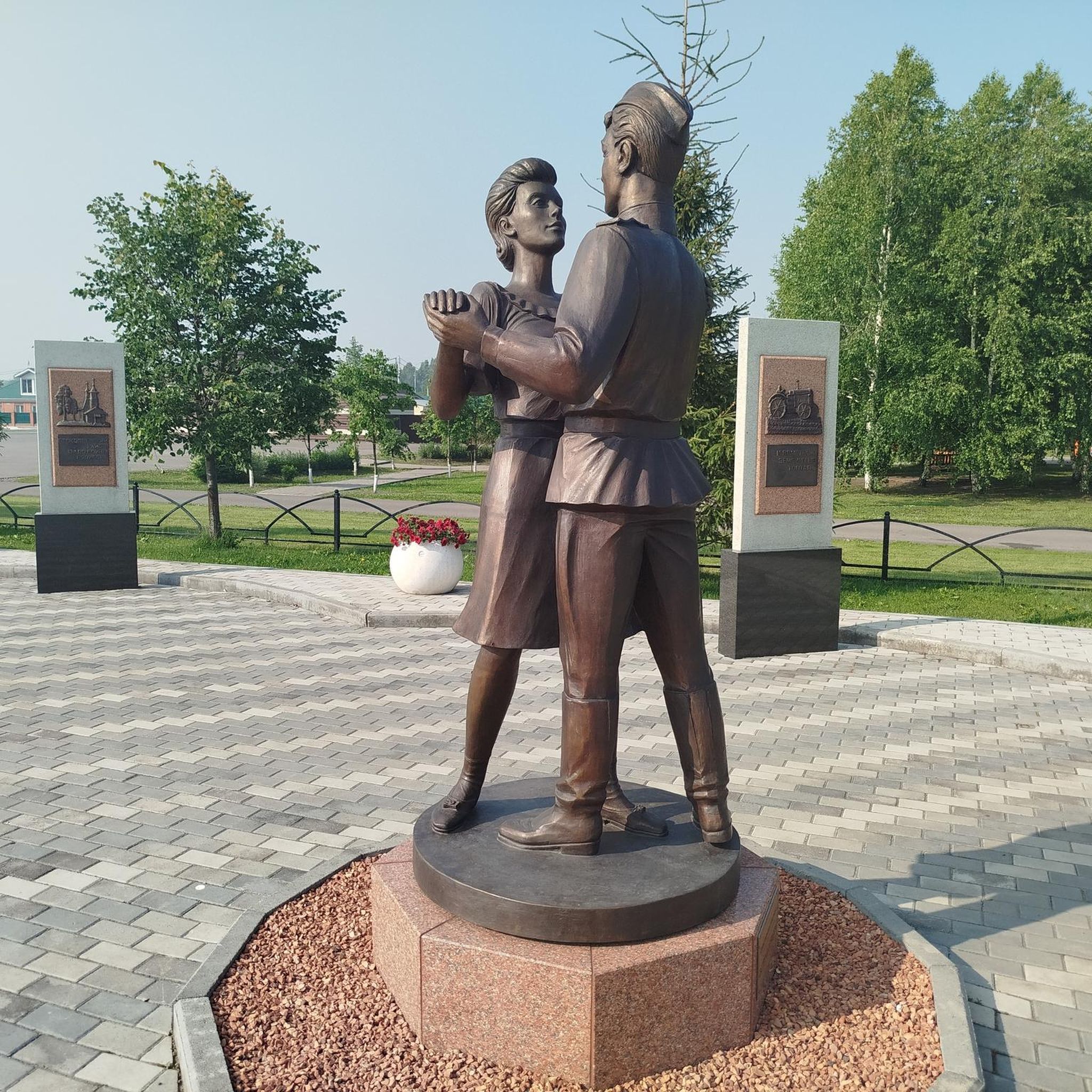
Cycling around Happy Valley
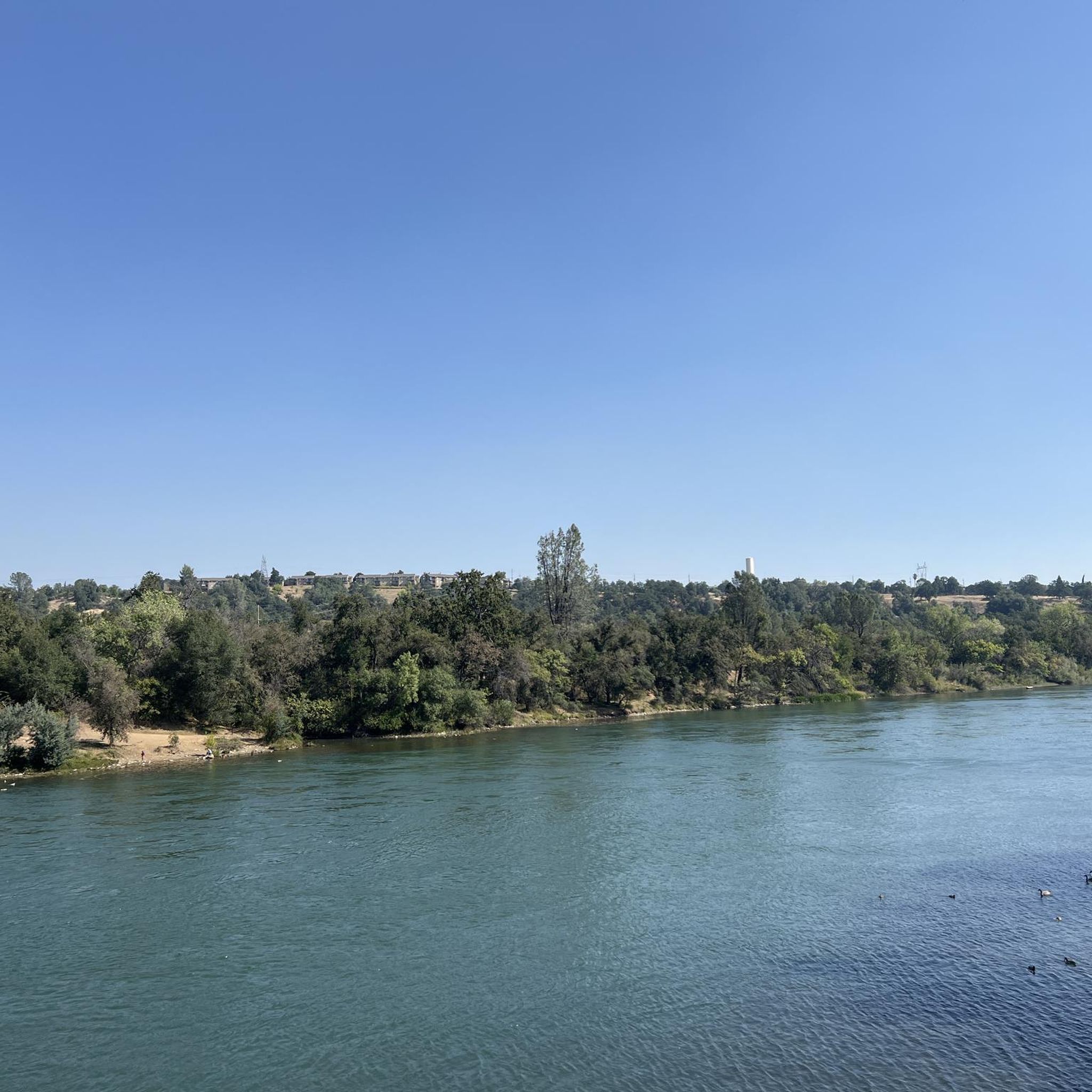
Cycling around Redding

Cycling around Bella Vista

Cycling around Keswick
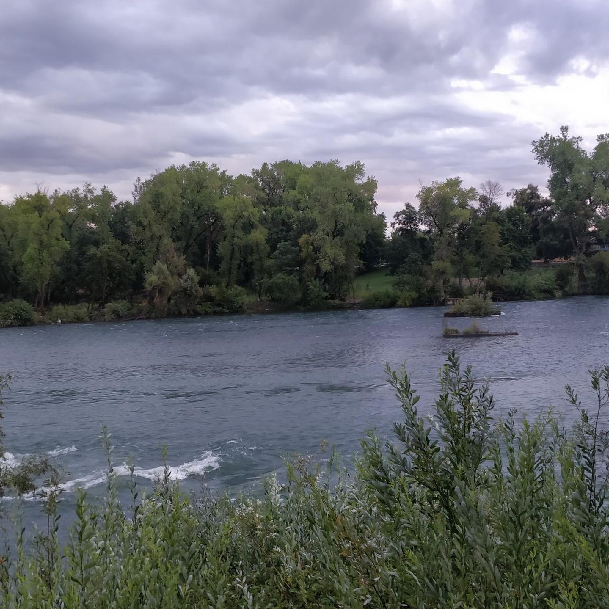
Cycling around Shasta Lake
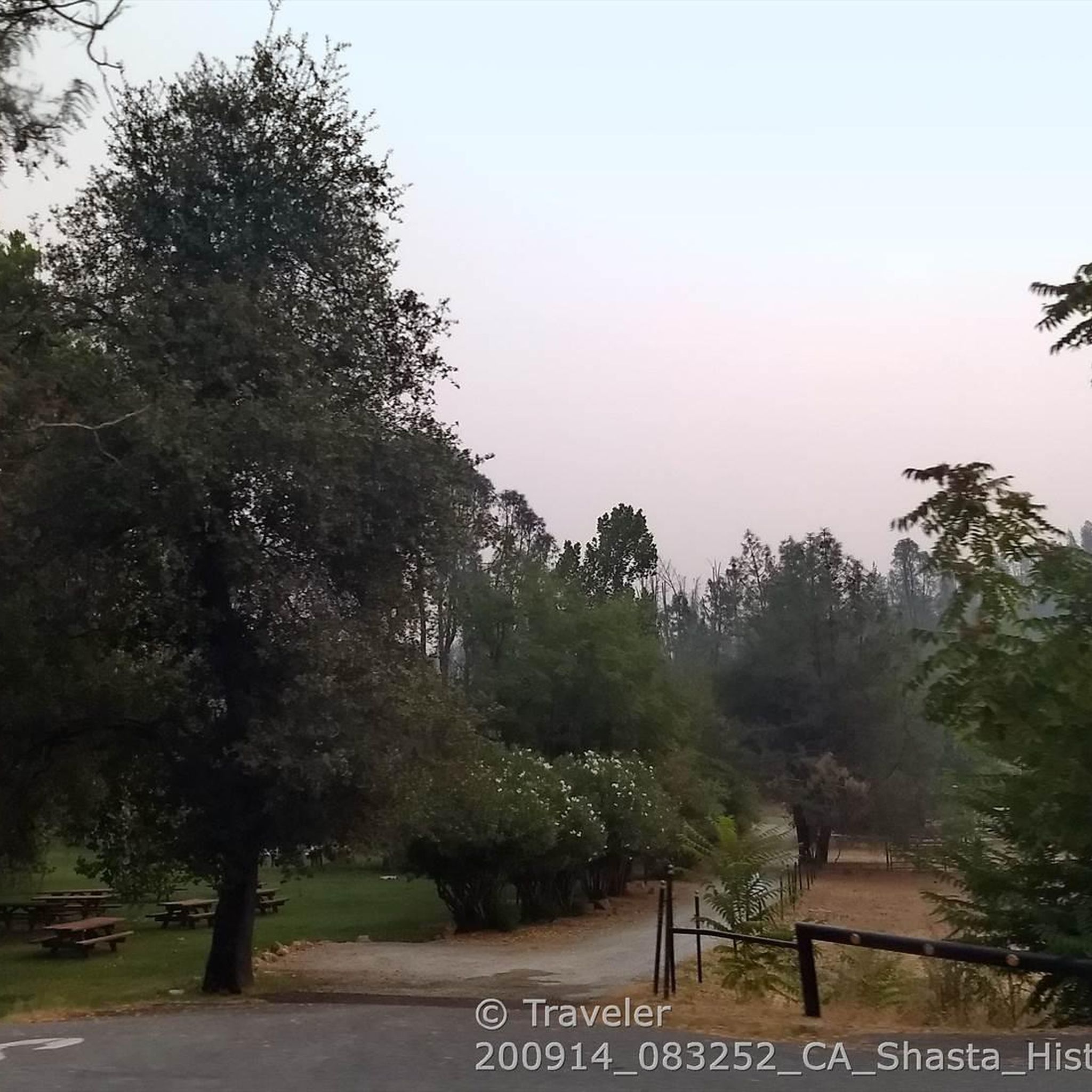
Cycling around Shasta
Cycling around Centerville
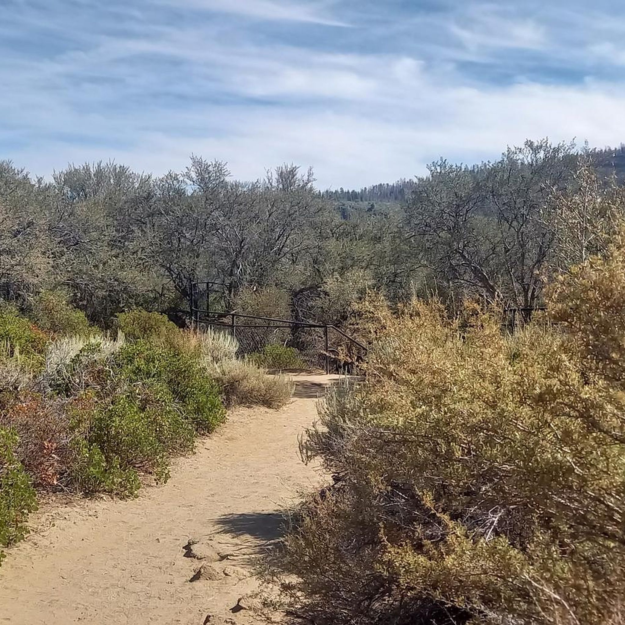
Cycling in Lassen National Forest
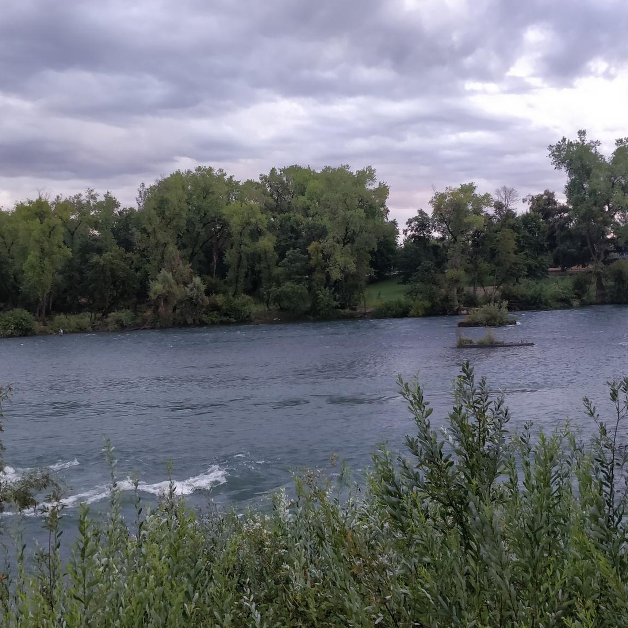
Cycling in Whiskeytown-Shasta-Trinity National Recreation Area - Whiskeytown Unit

Cycling around Palo Cedro


Tips from the Community

This man-made lake is situated in a 29-acre developed area, featuring a scenic trail that encircles it and offers stunning views of the water throughout. Recognized as a popular birding area, it's a great spot to stay on the lookout for various bird species. With its tranquil setting it is a nice place to take a break at to enjoy the view off the bike.
0
0

The Oak Savannah Arboretum is a breathtaking landscape boasting an impressive collection of native trees and plants, including tall valley oak and blue oaks. The Arboretum Loop Trail offers a scenic route around this stunning area, providing an immersive experience in nature and an ideal place to capture photos of the beauty of this serene oasis. Whether you're a cyclist, hiker, or birdwatcher, this is a perfect place for a peaceful escape from the hustle and bustle of the city.
0
0

The Sacramento River National Recreation Trail is a paved path in the heart of Redding. This trail is known for crossing the famed Sundial Bridge and can be combined with the Sacramento River Rail Trail to form a 17.4-mile trail to Shasta Dam.
0
0
The Sacramento River National Recreation Trail is a paved path in the heart of Redding. This trail is known for crossing the famed Sundial Bridge and can be combined with the Sacramento River Rail Trail to form a 17.4-mile trail to Shasta Dam.
0
0

Also known as the Hanson-Sindt Trail, in tribute to Terry Hanson and Brian Sindt, pillars of Redding's development, this path narrates nature's story. As one treads, wetlands whisper with green, while valley oaks stand tall beside their modest kin, the blue oaks, painting a tale of diverse terrains.
0
0
This man-made lake is situated in a 29-acre developed area, featuring a scenic trail that encircles it and offers stunning views of the water throughout. Recognized as a popular birding area, it's a great spot to stay on the lookout for various bird species.
2
0
The trail winds through oaks and birches, with occasional firs shading the path. Clearings reveal grassy fields, perfect for picnics and relaxation. Access points invite river activities, connecting visitors to nature's aquatic serenity.
0
0
These rugged, challenging trails beckon every adventurer. Offering breathtaking views and diverse terrain, each path ensures an unforgettable hiking experience, immersing you in nature's grandeur. Brace yourself for an awe-inspiring journey!
0
0
Frequently Asked Questions
How many touring cycling routes are available in Shasta County?
Shasta County offers a diverse selection of over 20 touring cycling routes. These routes traverse varied landscapes, from river trails to rolling hills, providing options for different skill levels.
What is the overall difficulty level of touring cycling routes in Shasta County?
The majority of touring cycling routes in Shasta County are classified as moderate, with 18 routes falling into this category. There are also 4 easy routes suitable for beginners or casual rides, and 1 more challenging route for experienced cyclists.
Are there easy touring cycling routes suitable for beginners or families?
Yes, Shasta County features several easy touring cycling routes perfect for beginners or family outings. One such route is the Sundial Bridge – Lorenz Hotel loop from Pilgrim Congregational Church, which is 11.4 miles (18.4 km) long. Another accessible option is the Cloverdale Loop Vista Point loop from Igo, covering 5.6 miles (9.1 km).
What do other touring cyclists say about the routes in Shasta County?
The touring cycling routes in Shasta County are highly regarded by the komoot community, boasting an average rating of 5.0 stars. Cyclists often praise the scenic views along the Sacramento River and the well-maintained paths that showcase the region's diverse terrain.
Are there any circular touring cycling routes in Shasta County?
Yes, many of the touring cycling routes in Shasta County are designed as loops, offering convenient starting and ending points. Examples include the popular Oak Savannah Arboretum – Sundial Bridge loop from Pilgrim Congregational Church and the Sundial Bridge – Ribbon Bridge loop from Enterprise.
What are some longer touring cycling routes for experienced riders in Shasta County?
For those seeking a longer ride, the Sundial Bridge – Ribbon Bridge loop from Enterprise is a moderate 25.4 miles (40.8 km) route that connects key landmarks. Another option is the Oak Savannah Arboretum – Sundial Bridge loop from Pilgrim Congregational Church, which spans 18.8 miles (30.3 km) and offers scenic views along the Sacramento River.
Are there touring cycling routes that feature scenic viewpoints or natural landmarks?
Absolutely. Many routes in Shasta County offer stunning views. The Oak Savannah Arboretum – Sundial Bridge loop from Pilgrim Congregational Church provides scenic views along the Sacramento River, often passing by the iconic Sundial Bridge. The region itself is home to majestic Mount Shasta and the vast Shasta Lake, offering breathtaking backdrops for your ride.
Can I find routes that pass by waterfalls in Shasta County?
While the specific touring cycling routes listed may not directly pass by major waterfalls, Shasta County is renowned for its stunning cascades. You can plan a side trip to see Burney Falls, often called the 'eighth wonder of the world,' or explore the Kings Creek Falls within Lassen Volcanic National Park.
Are there any routes that explore historic areas or urban landscapes?
Yes, the Historic Downtown Redding – Ribbon Bridge loop from Redding is a 16.0 miles (25.7 km) trail that leads through both urban and natural landscapes, allowing you to experience the charm of downtown Redding alongside the natural beauty of the river.
What kind of terrain can I expect on touring cycling routes in Shasta County?
Shasta County's diverse topography means you'll encounter a mix of terrain. Routes often feature paved paths, especially along the Sacramento River, but can also include rolling hills and segments that showcase the region's extensive forests and valleys. Some routes may have elevation changes, adding to the challenge and scenic variety.
Are there any touring cycling routes near major attractions like Shasta Dam or Lassen Volcanic National Park?
While the listed touring cycling routes are primarily centered around the Redding area, Shasta County's natural wonders are easily accessible. The Sacramento River National Recreation Trail, which connects to many of these routes, extends towards Shasta Dam. Lassen Volcanic National Park, home to peaks like Lassen Peak Summit, is about an hour's drive east, offering further exploration opportunities.
What is the best time of year for touring cycling in Shasta County?
Shasta County offers good cycling conditions for much of the year. Spring and fall generally provide the most pleasant temperatures for touring. Summer can be warm, especially in the valley, but early mornings or routes at higher elevations can still be enjoyable. Winter cycling is possible, though some higher elevation routes might be affected by snow or colder temperatures.
Most popular routes in Shasta County
Most popular attractions in Shasta County

Get inspired with the komoot mobile app


Didn’t find what you were looking for?
Check out more Cycling routes throughout Shasta County below and find the perfect route in your destination.
Explore more
Browse the best Cycling routes in other regions.
