The best walks and hikes in San Miguel County
4.8
(54)
1,757
hikers
82
hikes
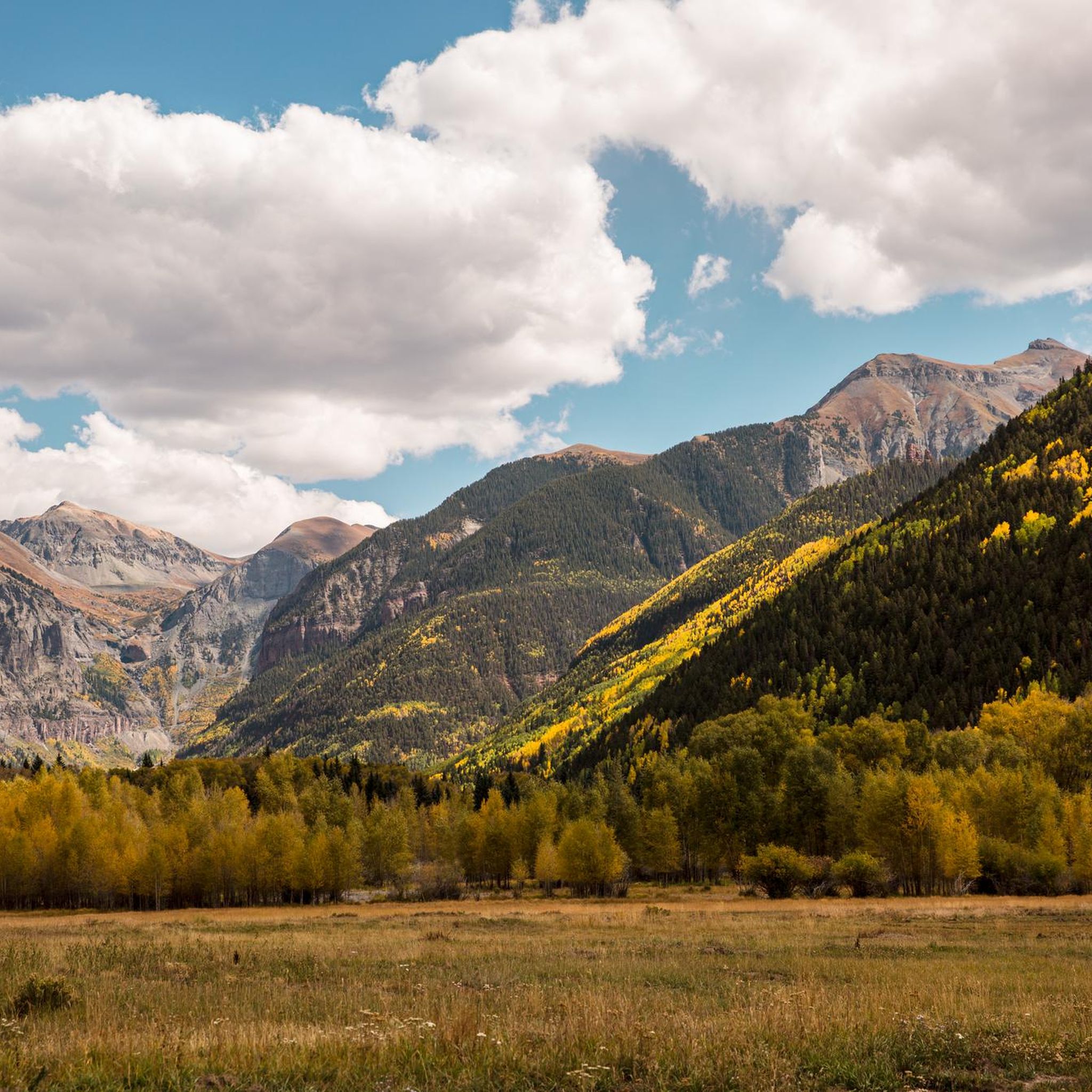
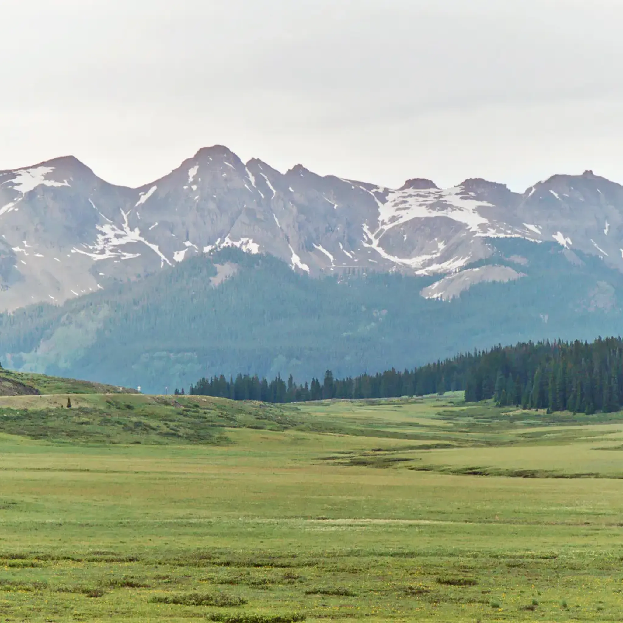
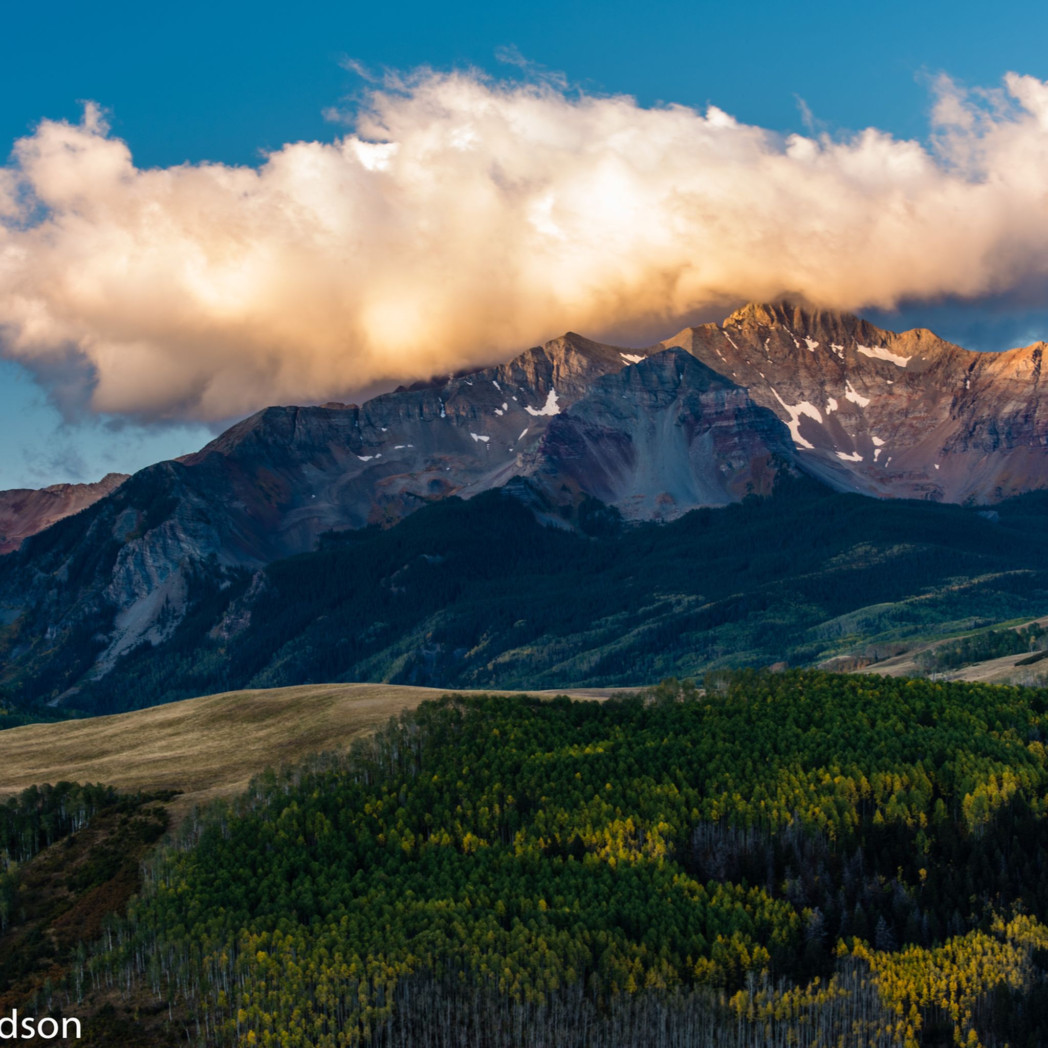
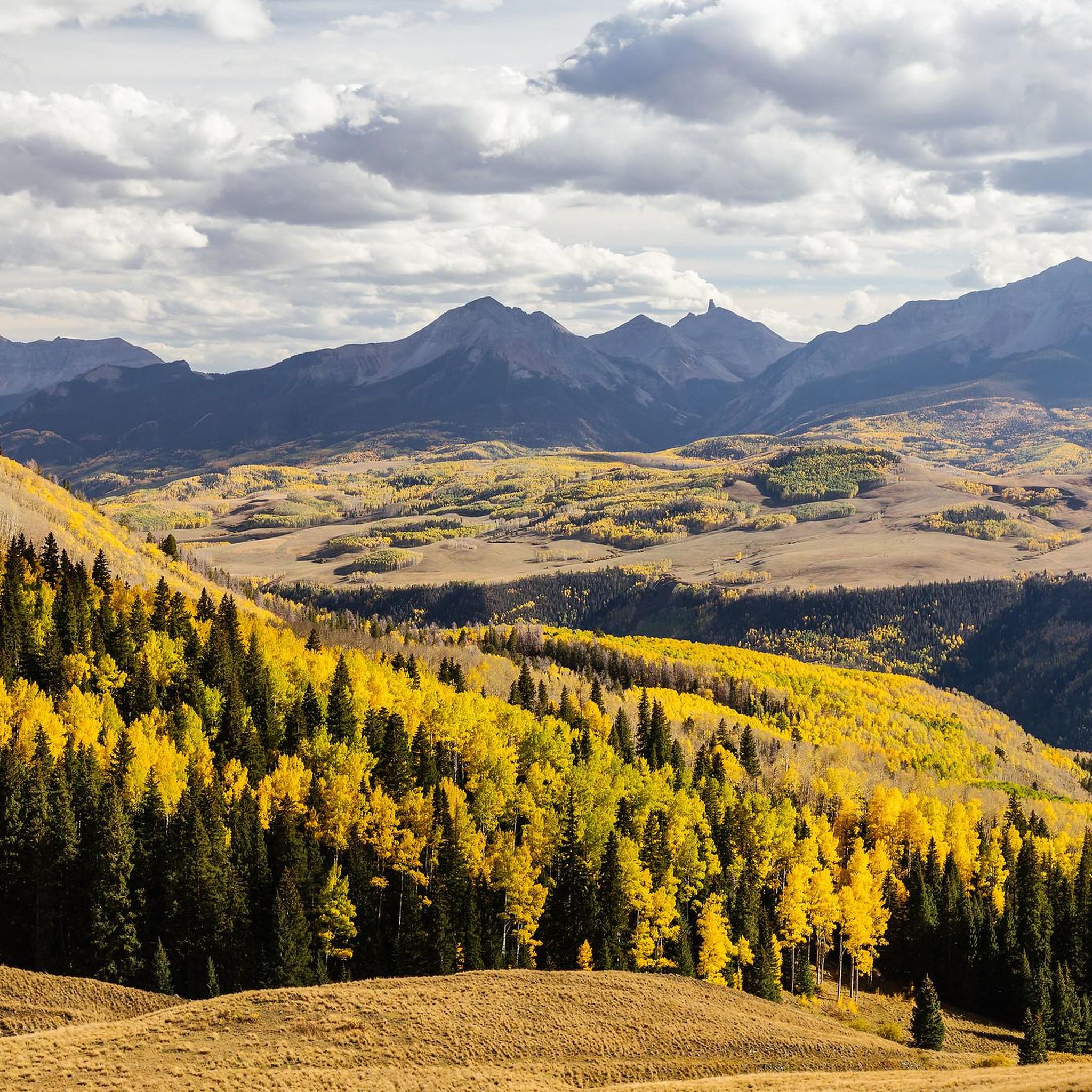
Hiking in San Miguel County offers diverse and rugged terrain within the San Juan Mountains and Uncompahgre National Forest. The region is characterized by prominent peaks, alpine lakes, and extensive trail networks. Hikers encounter a mix of spruce-fir forests, meadows, and the San Miguel River, which carves through parts of the county. This landscape provides varied environments for outdoor activities.
Best hiking trails in San Miguel County
- The most popular hiking route is Bear Creek Trail, an easy 2.2…
Last updated: July 22, 2026
4.5
(2)
90
hikers
4.28km
01:29
260m
250m
Embark on the Bridal Veil Falls, Black Bear Pass Loop, an easy 2.7-mile (4.3 km) hike that guides you through varied terrain, including some rocky sections. You will gain 853…
5.0
(1)
35
hikers
6.62km
02:31
460m
360m
Embark on the Bridal Veil Falls to Silver Lake Trail for a moderate hike that takes you from Colorado's tallest free-falling waterfall to a serene alpine lake. This 4.1 miles…

Sign up for free
14
hikers
3.10km
01:01
140m
140m
Embark on an easy hike along the Keystone Gorge Loop Trail, a 1.9-mile (3.1 km) route that takes you through picturesque aspen and fir forests. You will follow the San…
5.0
(1)
10
hikers
11.7km
03:26
250m
410m
Embark on the Sneffels Traverse, a moderate 7.3-mile (11.7 km) hike that guides you through diverse sub-alpine meadows and dense pine and aspen forests. You will gain 824 feet (251…
7
hikers
3.59km
01:04
0m
320m
Embark on the Bear Creek Trail, an easy 2.2 miles (3.6 km) hiking route that offers a gentle escape into nature. You will experience minimal elevation gain, just 1 feet…
3
hikers
4.15km
01:28
420m
0m
Embark on the Bridal Veil Falls via Black Bear Pass Road, a moderate 2.6-mile (4.1 km) hike that delivers dramatic alpine scenery. You will ascend 1375 feet (419 metres) in…
2
hikers
9.54km
04:53
870m
880m
Embark on the Liberty Bell and Sheridan Crosscut Loop, a moderate 5.9-mile (9.5 km) hike that takes you through steep sections with loose gravel, rocks, and roots. You will gain…
1
hikers
13.0km
05:00
810m
420m
The Lewis Lake and Blue Lake Trail offers a rewarding moderate hike, covering 8.1 miles (13.0 km) with a significant elevation gain of 2646 feet (806 metres). You can expect…
1
hikers
9.93km
03:25
500m
550m
Embark on the Eider Creek, Deep Creek, and Mill Creek Waterline Loop, a moderate hiking route that winds through the Uncompahgre National Forest. You will experience diverse terrain, from rocky…
1
hikers
4.41km
01:41
500m
0m
Embark on the See Forever Trail for a moderate hike that truly lives up to its name. You will gain 1630 feet (497 metres) over 2.7 miles (4.4 km), taking…
Get access to more routes and recommendations from other explorers.
Sign up for free
Already have an account?
Our route recommendations are based on thousands of hikes, rides, and runs completed by other people on komoot.
Start today with a free account
Your next adventure awaits.
Login or Signup
Other adventures in San Miguel County

Tips from the Community

A meeting point where the forested Bear Creek Trail connects with the steeper Ballard climb. It’s a good spot to pause, refill energy, and decide whether to continue deeper into the canyon or push higher toward alpine views.
0
0

That's the purpose of the hike. A little bit of freshness it can't hurt.
1
0
Shortly before you reach Bear Creek Waterfall, you have wonderful views. What to say? just enjoy.
1
0
Hikers had fun here creating cairns on a large rocky platform.
1
0
A few more switchbacks to climb, and you have this magnificent view of this incredible valley that is offered to you.
0
0
From the top of these 365 feet, the spectacular Bridal Veil Falls are the highest of the Colorado waterfalls. You should know that this is also the name of one of the Niagara Falls.
0
0

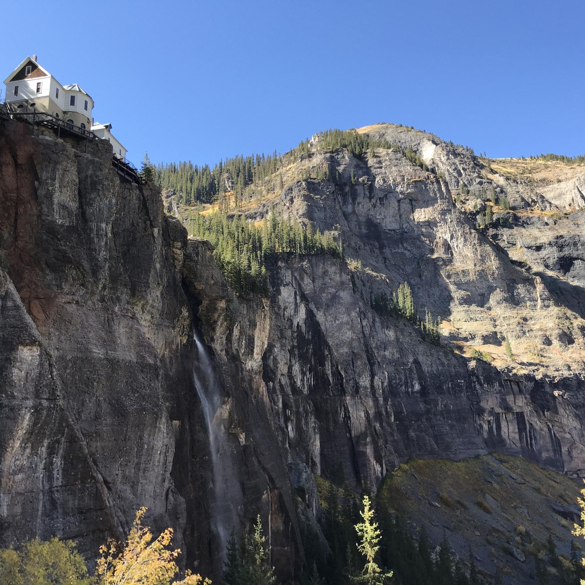
The stunning falls rush high above the mountain town of Telluride. At the top of the box canyon you can see a solitary building: the power plant that produces hydroelectricity. The trail and road up to Bridalveil Falls can still be snow covered by the end of June or even July if it is a high snow year. From the parking lot below you can take a short walk to this view of the waterfall, including the impressive switchbacks that wind up the mountain.
3
1
The trail and road up to Bridal Veil Falls might still be covered with snow into late June or even July, if it is a high snow year. From the parking lot, you can take a little walk to this view of the waterfall including the impressive switchbacks winding up the mountain.
4
0
Frequently Asked Questions
How many hiking trails are available in San Miguel County?
San Miguel County offers a wide range of hiking experiences, with over 50 routes documented on komoot. These trails cater to various skill levels, from easy strolls to challenging multi-hour ascents through high-altitude terrain.
What are some easy, family-friendly hiking options in San Miguel County?
For an easy and family-friendly experience, consider the Telluride River Trail. This route is relatively flat and offers pleasant views along the San Miguel River, making it suitable for all ages. The Gallinas Nature Trail in New Mexico is another easier option, taking about 43 minutes to complete its 3.4 km length.
Are there any trails that feature waterfalls in San Miguel County?
Yes, San Miguel County is home to stunning waterfalls. The Bear Creek Falls — Telluride trail is a popular moderate route leading directly to the scenic Bear Creek Falls. You can also experience the iconic Bridal Veil Falls via the Bridal Veil Falls View — Telluride trail. For a closer look at the falls, the View of Bridal Veil Falls and the power plant is a notable highlight.
Which trails offer views of alpine lakes?
Several trails lead to picturesque alpine lakes. The Hope Lake Trail from FSR 627 takes you through wildflower meadows to the beautiful Hope Lake. Another excellent option is the Bridal Veil Trail to Blue Lake. In New Mexico, trails like Pecos Baldy Lake, Jack's Creek Trail, and Beatty's Trail also provide access to scenic alpine lakes.
Are there any challenging hikes for experienced hikers?
Absolutely. For experienced hikers seeking a challenge, the Sneffels Highline Trail loop — Telluride is a difficult route with significant elevation gain. Another strenuous option is the Rock of Ages Trail to Wilson Peak, leading to the highest point in San Miguel Mountains. The Hermit's Peak Trail in New Mexico is also a challenging 7.8-mile trail with over 2,700 feet of elevation gain.
What is the best time of year to go hiking in San Miguel County?
The best time to hike in San Miguel County is generally from late spring through early fall (May to October). July is particularly beautiful for wildflowers in the Colorado section. While some trails like Bridal Veil Falls can be enjoyed year-round, winter hiking often requires snowshoes or spikes due to snow and ice, especially at higher elevations.
Are there any loop trails for hikers who prefer circular routes?
Yes, San Miguel County offers several excellent loop trails. The Jud Wiebe Memorial Trail — Telluride is a popular moderate loop that provides fantastic views of Telluride and the surrounding mountains. For a more challenging circular route, consider the Sneffels Highline Trail loop — Telluride.
What kind of natural features and landmarks can I expect to see on the trails?
San Miguel County's trails showcase diverse natural beauty. You'll encounter dramatic mountainous landscapes, high-elevation peaks like Wilson Peak, spruce-fir forests, and meadows abundant with wildflowers. Notable landmarks and viewpoints include the View of Bridal Veil Falls and the power plant, Trout Lake, and the Coonskin Mountain summit. The San Juan Mountains Viewpoint offers panoramic vistas.
What do other hikers say about the trails in San Miguel County?
The trails in San Miguel County are highly regarded by the komoot community, boasting an average rating of 4.9 stars from over 40 reviews. Hikers frequently praise the stunning mountain scenery, the variety of trails for different skill levels, and the pristine natural environment, especially the alpine lakes and waterfalls.
Are there any trails that lead to prominent peaks or summits?
Yes, for those aiming for summits, the Rock of Ages Trail to Wilson Peak offers a challenging ascent to Wilson Peak, the highest point in the San Miguel Mountains. Another demanding route is Bridal Veil Falls to Ajax and Telluride Peaks, which provides access to multiple high points.
What is the general difficulty level of hiking in San Miguel County?
Hiking in San Miguel County offers a wide spectrum of difficulty. While there are 13 easy routes, the majority of trails are moderate (27 routes) or difficult (17 routes), reflecting the region's rugged, high-elevation terrain. Hikers should be prepared for significant elevation changes and varying trail conditions, especially on longer routes.
Most popular routes in San Miguel County
Most popular attractions in San Miguel County

Get inspired with the komoot mobile app


Didn’t find what you were looking for?
Check out more Hikes throughout San Miguel County below and find the perfect route in your destination.
Explore more
Browse the best Hikes in other regions.
