The best road cycling routes in Wright County
4.7
(9)
230
riders
9
rides
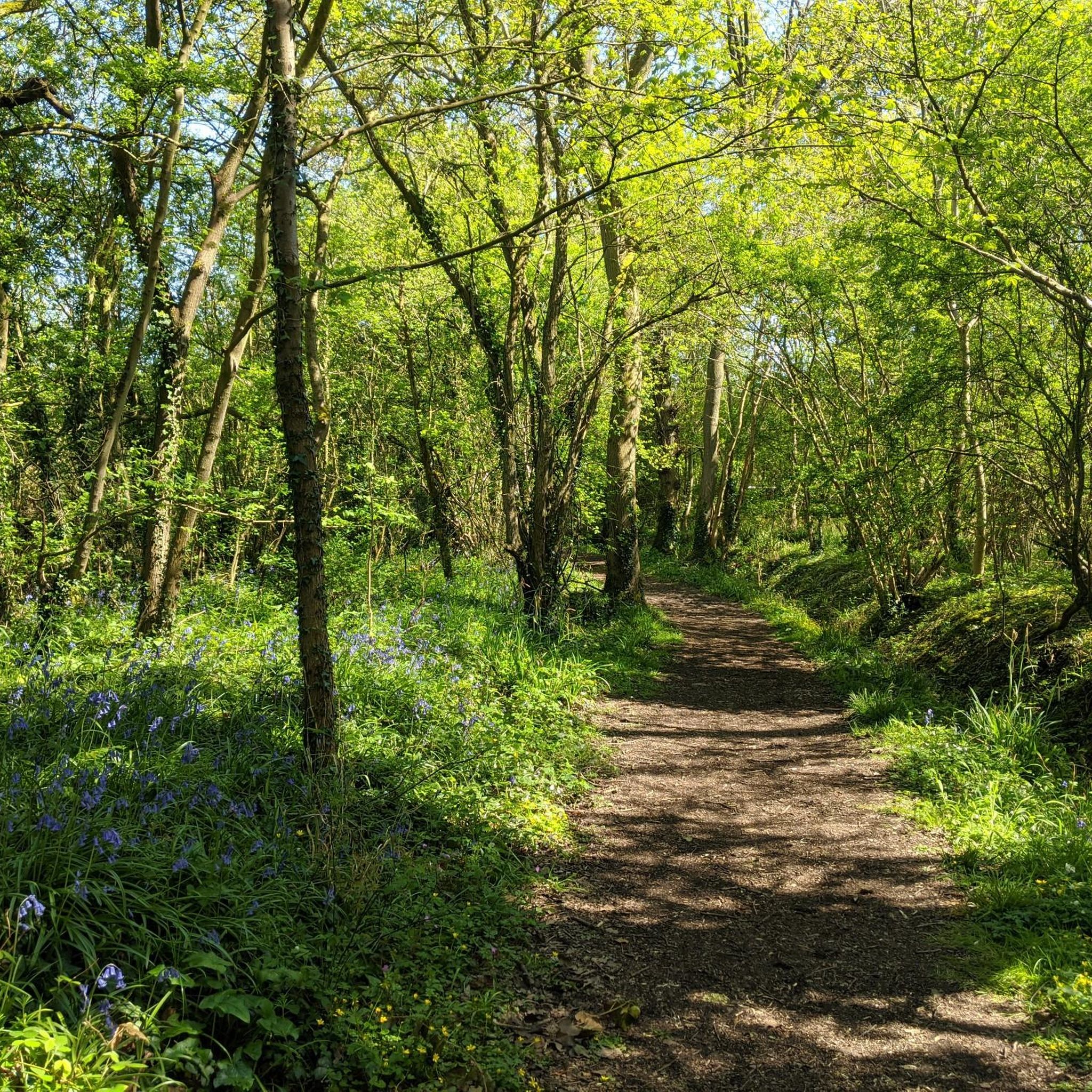
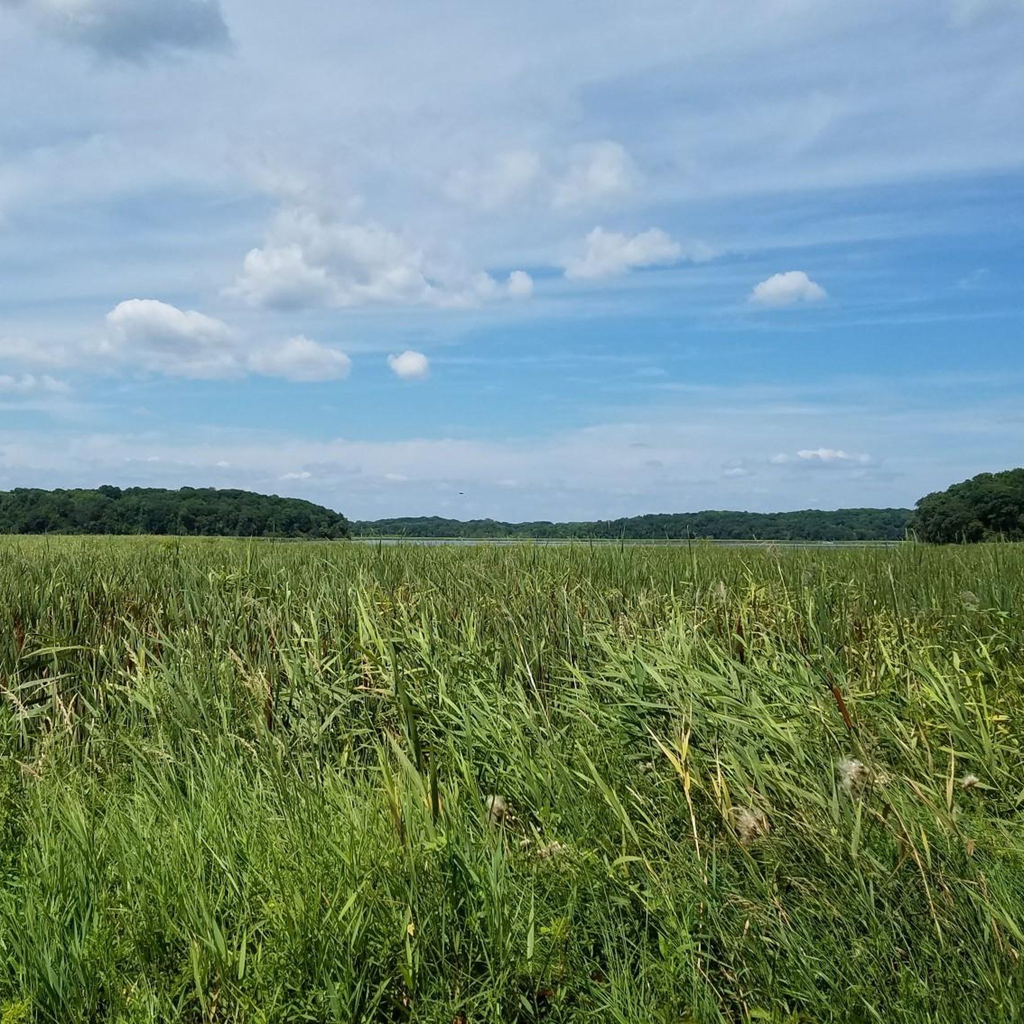
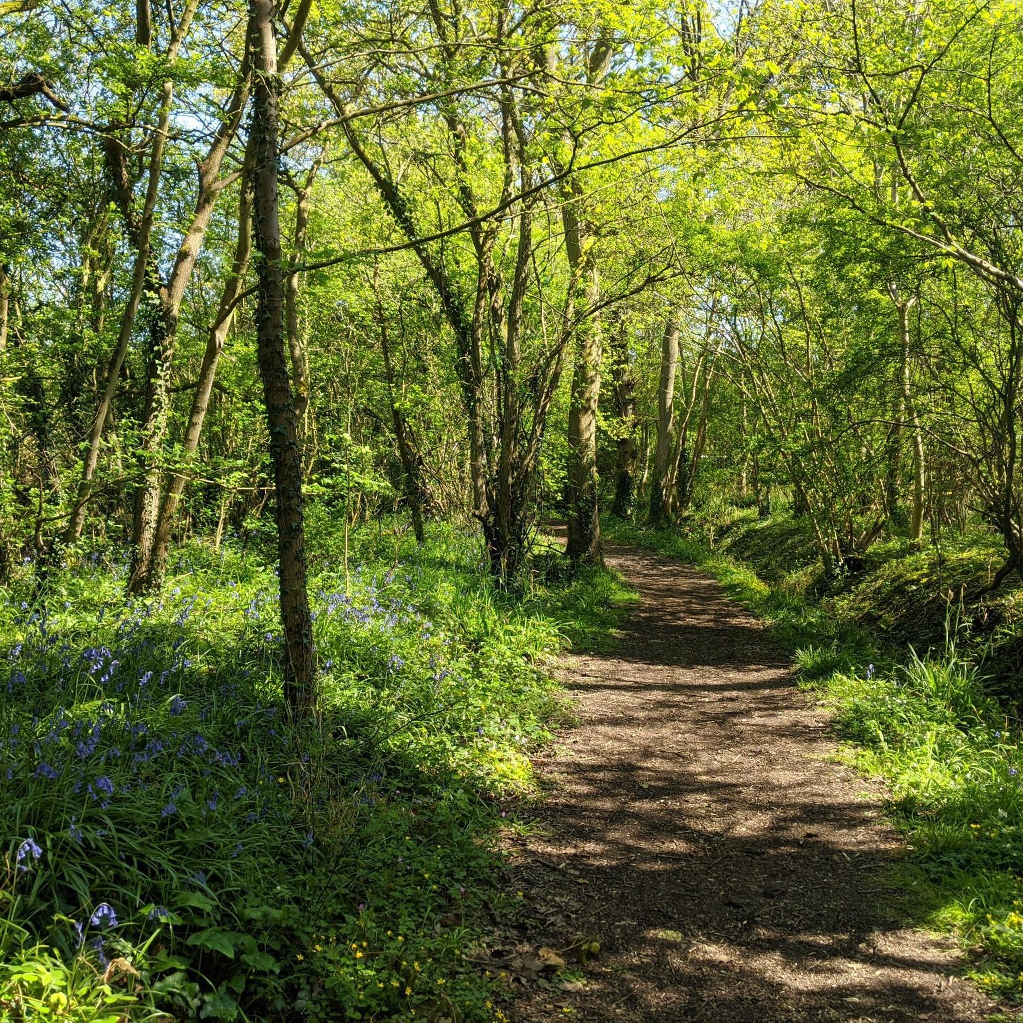
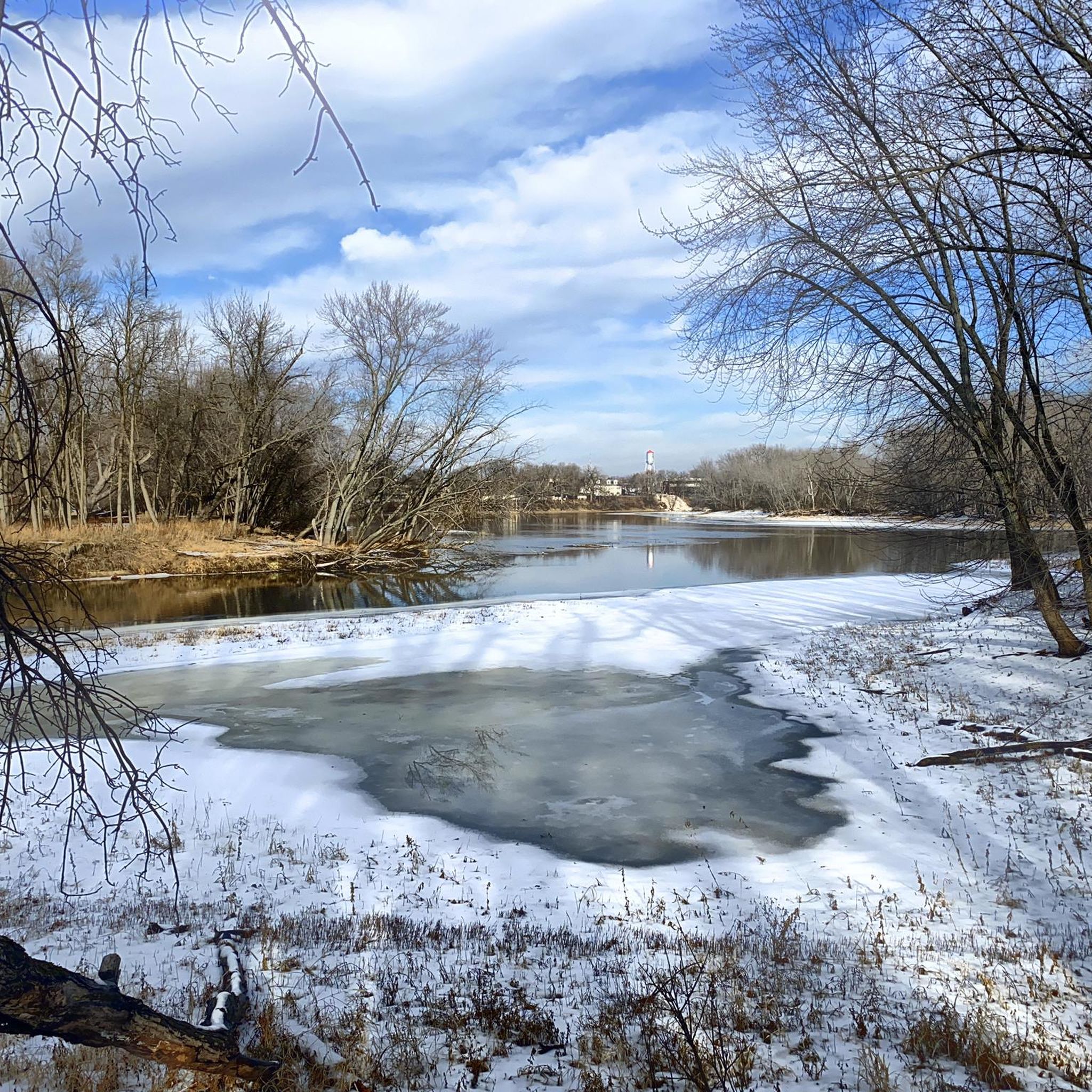
Road cycling routes in Wright County traverse a landscape characterized by rivers, numerous lakes, and rolling prairies. The region's terrain includes the Mississippi River forming its northern border and the Crow River winding through its interior, offering scenic backdrops. Cyclists encounter mild elevation changes across a mix of paved trails and low-traffic county roads. Remnants of historical woodlands, such as those found in Stanley Eddy Regional Park, also contribute to the varied scenery.
Best road cycling routes in Wright County
…Last updated: July 25, 2026
5.0
(4)
129
riders
Easy road ride. Great for any fitness level. Mostly well-paved surfaces and easy to ride.
3.7
(3)
44
riders
23.8km
00:57
110m
110m
Easy road ride. Great for any fitness level. Mostly well-paved surfaces and easy to ride.

Sign up for free
16
riders
Easy road ride. Great for any fitness level. Mostly well-paved surfaces and easy to ride.
5.0
(1)
6
riders
66.9km
02:51
400m
400m
Moderate road ride. Good fitness required. Mostly well-paved surfaces and easy to ride.
8
riders
23.1km
00:53
60m
60m
Easy road ride. Great for any fitness level. Mostly well-paved surfaces and easy to ride.
10
riders
63.3km
02:38
290m
290m
Moderate road ride. Good fitness required. Mostly well-paved surfaces and easy to ride.
5.0
(1)
8
riders
45.4km
01:56
220m
220m
Moderate road ride. Great for any fitness level. Some segments of this route may be unpaved and difficult to ride.
4
riders
54.8km
02:12
200m
200m
Moderate road ride. Good fitness required. Mostly well-paved surfaces and easy to ride.
5
riders
28.9km
01:08
100m
100m
Easy road ride. Great for any fitness level. Mostly well-paved surfaces and easy to ride.
3
riders
24.4km
00:56
70m
70m
Easy road ride. Great for any fitness level. Mostly well-paved surfaces and easy to ride.
Our route recommendations are based on thousands of hikes, rides, and runs completed by other people on komoot.
Start today with a free account
Your next adventure awaits.
Login or Signup

Tips from the Community

Lake Waconia is beautiful and huge, lots of good views as you go around.
2
0

Dayton River Road is lightly trafficked route ideal for road cycling. It runs parallel to the river, offering a steady ride with mild elevation changes. Key access points to nearby trails and parks are available along the route.
1
0
This section of Mississippi River Trail goes under the South Ferry Street Bridge. Close by, there is a boardwalk if you want to have a closer look to the river.
0
0
Dayton River Road is lightly trafficked route ideal for road cycling. It runs parallel to the river, offering a steady ride with mild elevation changes. Key access points to nearby trails and parks are available along the route.
0
0

Baker Park Reserve offers 2,700 acres of natural beauty on Lake Independence. Its amenities include a golf course, campground, playground, and paved biking/hiking paths.
0
0


The Dakota Rail Regional Trail stretches 28.1 miles from Wayzata to Lester Prairie, Minnesota, along the former Hutchinson Spur of the Great Northern Railway. This paved trail is popular with bikers, skaters, and hikers, offering a look at lakes, wetlands, woodlands, and farmlands. Starting in Wayzata, you can park at the trailhead on Grove Lane and grab a bite or fill up water downtown. The Carver County section extends an additional 12.5 miles west of St. Bonifacius to Mayer. Maps along the trail show your location, restrooms, and nearby services, with parking available at several locations.
0
0

There are many additional hiking trails in Baker Park Reserve on the north side of County Road 24.
0
0
Frequently Asked Questions
How many road cycling routes are available in Wright County?
Wright County offers over 10 road cycling routes, catering to various skill levels. You'll find 3 easy routes perfect for a relaxed ride, and 7 moderate routes for those seeking a bit more challenge.
What kind of terrain can I expect on road cycling routes in Wright County?
Road cycling in Wright County features a diverse landscape. You'll encounter routes along the scenic Mississippi and Crow Rivers, past numerous lakes, and through gently rolling prairies. The terrain generally has mild elevation changes, with options ranging from dedicated paved trails to lightly trafficked county roads.
Are there any easy road cycling routes suitable for beginners or families?
Yes, Wright County has several easy routes. A great option is the Dakota Rail Regional Trail – Dakota Rail Regional Trail loop from Saint Bonifacius, which is 14.8 miles and follows a designated regional trail for a smooth ride. Another easy choice is the Lake Rebecca Park Reserve – Kasma Marsh loop from Delano, covering 13.9 miles.
Where can I find scenic views or natural features along the routes?
Wright County is rich in natural beauty. Many routes offer views of the Mississippi River, which forms the county's northern border, and the winding Crow River. You'll also cycle past numerous lakes, including Clearwater Lake, Sugar Lake, Buffalo Lake, Howard Lake, and Maple Lake. Remnants of historical woodlands, such as those near Stanley Eddy Regional Park, also provide picturesque backdrops. For specific viewpoints, consider routes that pass near Anderson Hill Lookout.
Are there any circular road cycling routes in Wright County?
Yes, many of the routes in Wright County are designed as loops, allowing you to start and end in the same location. Examples include the popular Dakota Rail Regional Trail loop from Saint Bonifacius and the Peppermint Twist loop from Rockford, which takes you through rolling countryside.
What is the best time of year for road cycling in Wright County?
The best time for road cycling in Wright County is generally from spring through fall, when the weather is mild and the natural landscapes are vibrant. Summer offers warm temperatures and lush scenery, while spring and fall provide cooler rides and beautiful foliage. Some paved trails within parks are even plowed in winter for year-round use, though road conditions can vary.
What do other road cyclists enjoy most about road cycling in Wright County?
The road cycling experience in Wright County is highly rated by the komoot community, with an average score of 5.0 stars. Cyclists often praise the varied terrain, from dedicated paved trails to low-traffic county roads, and the beautiful natural scenery, including rivers, lakes, and rolling prairies. The network offers options for different ability levels, making it enjoyable for many.
Are there any routes that follow the Mississippi River?
Yes, the Mississippi River forms the northern border of Wright County, and the Ferry Street underpass – Dayton River Road loop from West Twin Lake is a great option that utilizes the Dayton River Road, running parallel to the river. The Mississippi River Trail (MRT) also traverses the county, offering a combination of paved trails, paved shoulders, and shared roadways for riverfront views.
What are some of the longer, more challenging road cycling routes?
For a longer, moderate challenge, consider the County road 50 – Kasma Marsh loop from County Road 110 Trail Access. This route is 40.9 miles (65.9 km) and features varied terrain along County Road 50, passing through rural landscapes and near marsh areas. Another moderate option is the County road 50 – Welcome to Loretto Sign loop from Saint Michael, which covers 30.9 miles (49.7 km).
Are there any parks with paved trails suitable for road bikes?
Yes, several parks in Wright County offer paved trails ideal for road cyclists. Montissippi County Park, for instance, features a paved walking and biking path that winds through hardwood and pine forests. Other parks like Otsego County Park and Clearwater/Pleasant County Park also have paved trails that are suitable for road cycling.
Where can I find more information about Wright County's parks and trails?
For detailed information on Wright County's extensive park system and trails, including facilities and specific regulations, you can visit the official county website at wrightcountymn.gov. This resource provides comprehensive details on the 4,717 acres of parkland available for outdoor activities.
Most popular attractions in Wright County

Get inspired with the komoot mobile app


Didn’t find what you were looking for?
Check out more Road cycling routes throughout Wright County below and find the perfect route in your destination.
Explore more
Browse the best Road cycling routes in other regions.
