The best walks and hikes around Thannhausen
4.7
(231)
977
hikers
52
hikes
Hiking around Thannhausen offers diverse landscapes characterized by rolling hills and dense forests. The Mindel River flows through the area, providing trails along its banks. Located on the edge of the Augsburg-Westliche Wälder Nature Park, the region features unique areas like the "Schluchtwald" (gorge forest), enhancing its appeal for outdoor activities.
Best hiking trails around Thannhausen
- The most popular hiking route is Hansenhohl Gorge Trail loop from Thannhausen, a 1.2 miles (2.0 km) trail that takes 33 minutes to…
Last updated: August 11, 2026
4.6
(15)
43
hikers
1.99km
00:33
30m
30m
Easy hike. Great for any fitness level. Easily-accessible paths. Suitable for all skill levels.
4.8
(4)
16
hikers
9.72km
02:41
160m
160m
Moderate hike. Good fitness required. Easily-accessible paths. Suitable for all skill levels.

Sign up for free
5.0
(4)
15
hikers
Easy hike. Great for any fitness level. Easily-accessible paths. Suitable for all skill levels.
5.0
(1)
18
hikers
3.21km
00:51
30m
30m
Easy hike. Great for any fitness level. Easily-accessible paths. Suitable for all skill levels.
5
hikers
7.96km
02:01
20m
20m
Moderate hike. Good fitness required. Easily-accessible paths. Suitable for all skill levels.
Get access to more routes and recommendations from other explorers.
Sign up for free
Already have an account?
Our route recommendations are based on thousands of hikes, rides, and runs completed by other people on komoot.
Start today with a free account
Your next adventure awaits.
Login or Signup
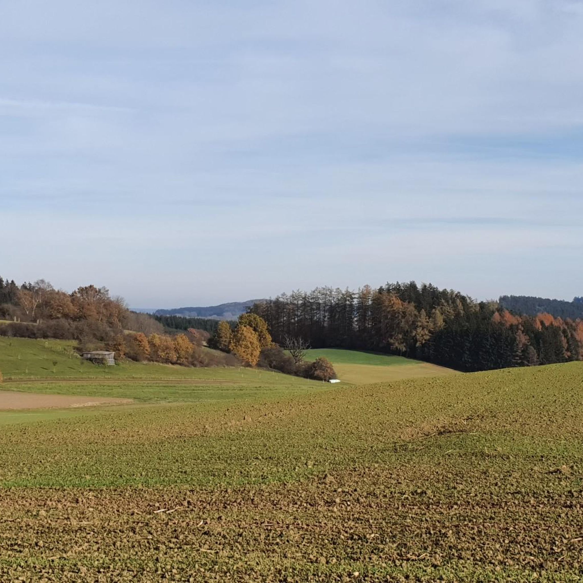
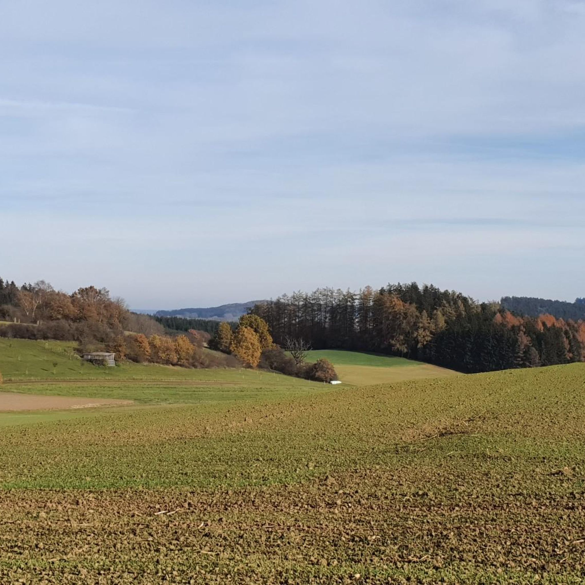
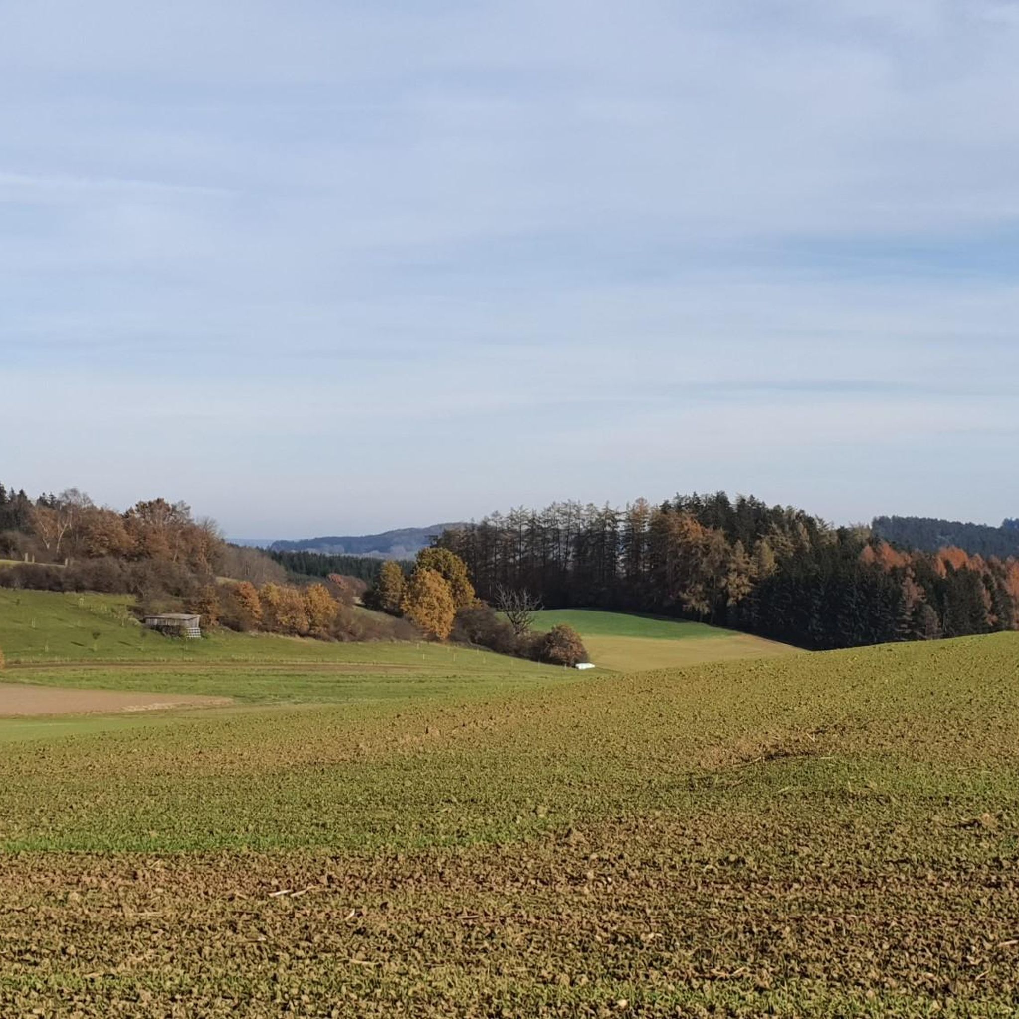
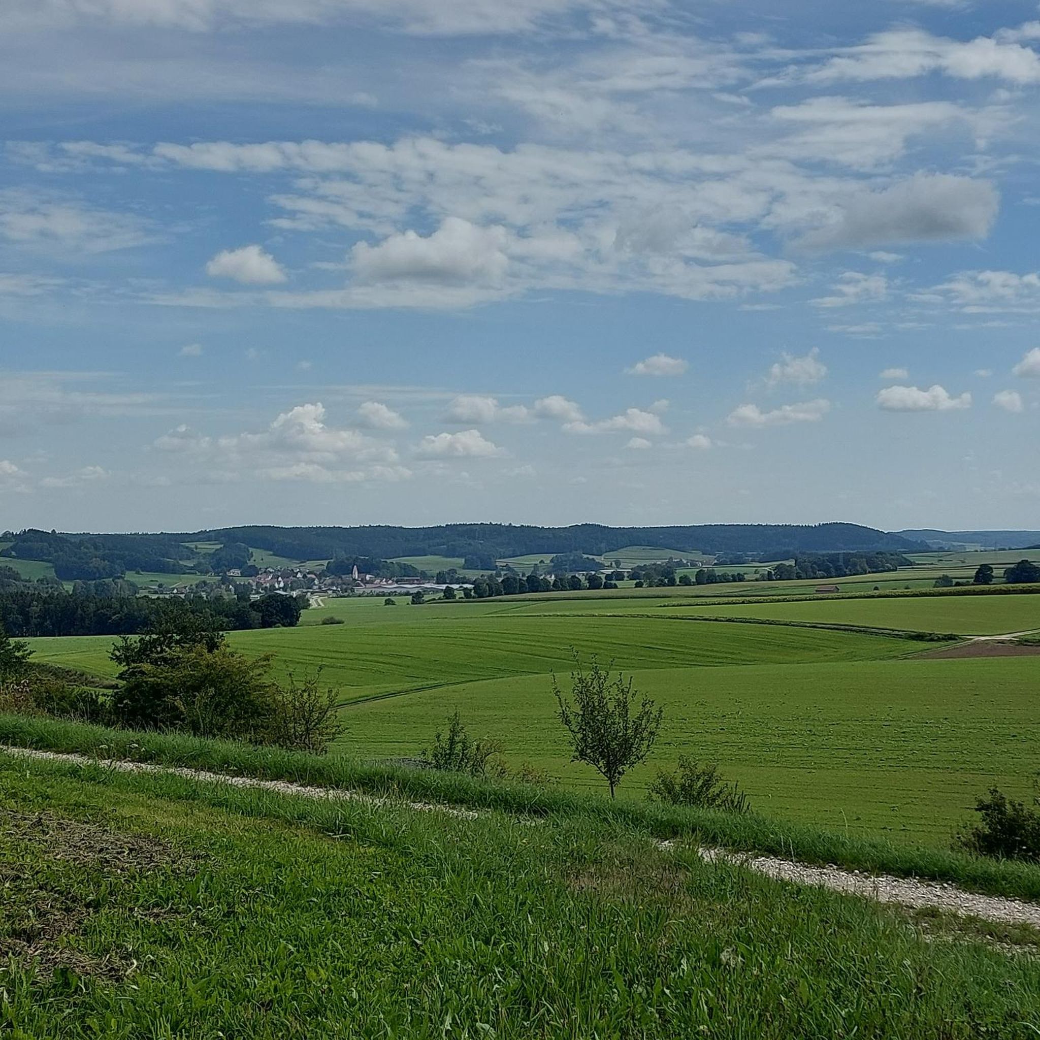

Tips from the Community

Resting place, but watch out ⚠️ for the bees 🐝 🐝🐝!
0
0

It's quite nicely done for children.
0
0

Somewhat unspectacular but not uninteresting
0
0
Autumnal atmosphere at Mehlbrünnele 🍂
0
0
Always worth a visit!🙏
0
0
Built in 2005 by Karl Miller as a thank you for all the wonderful help after a serious accident!
0
0

Nice informative trail 😀 with lots of natural steps, but unfortunately not particularly long 🥲.
0
0
Frequently Asked Questions
What kind of hiking trails can I expect around Thannhausen?
Thannhausen offers a diverse network of over 45 hiking trails, characterized by picturesque rolling hills and dense forests. The Mindel River also flows through the area, providing scenic trails along its banks. You'll find options ranging from easy strolls to more moderate excursions, catering to various fitness levels.
Are there easy hiking options suitable for beginners or a relaxed walk?
Yes, Thannhausen has numerous easy trails. For a short, distinctive experience, consider the Hansenhohl Gorge Trail loop from Thannhausen, which is just under 2 km and takes about 30 minutes. Another accessible option is the Old Stone Wayside Cross loop from Thannhausen, a 3.2 km path that offers a pleasant walk.
Are there any circular hiking routes in Thannhausen?
Many of the trails around Thannhausen are designed as loops, allowing you to start and end at the same point. For example, the Foundling – Lendele Wayside Shrine loop from Thannhausen is a moderate 9.8 km circular path that takes you past historical markers and through varied landscapes.
What natural features or landmarks can I see while hiking near Thannhausen?
The region is rich in natural beauty and points of interest. You can explore the unique 'Schluchtwald' (gorge forest) within the Augsburg-Westliche Wälder Nature Park. Along the Weir and Waterfall – Globe Sculpture loop from Thannhausen, you'll encounter a weir, a small waterfall, and a distinctive globe sculpture right along the Mindel River.
What do other hikers say about the trails in Thannhausen?
The komoot community highly rates the hiking trails in Thannhausen, with an average score of 4.7 stars from over 200 reviews. Hikers often praise the well-maintained paths, the peaceful atmosphere of the woodlands, and the diverse scenery that includes river sections and rolling hills.
Are there any family-friendly hiking trails in the area?
Yes, several trails are suitable for families. The Hansenhohl Gorge Trail loop from Thannhausen is an easy, short option perfect for families with younger children. Its distinctive gorge setting provides an engaging experience without being too strenuous.
Can I bring my dog on the hiking trails around Thannhausen?
Most hiking trails in the Thannhausen region are dog-friendly, offering plenty of opportunities for you and your canine companion to explore the natural surroundings. It's always recommended to keep dogs on a leash, especially in nature protection areas or when passing through agricultural lands, and to respect local signage.
What is the best time of year to go hiking in Thannhausen?
Thannhausen offers enjoyable hiking experiences throughout much of the year. Spring brings lush greenery and blooming wildflowers, while autumn showcases vibrant fall foliage. Summer is ideal for longer excursions, and even mild winter days can be pleasant for a crisp walk through the forests.
Are there any castles or historical sites to visit near the hiking routes?
Yes, the region around Thannhausen features several historical attractions. You can find castles like Fugger Castle, Kirchheim and Elmischwang Castle nearby, offering a glimpse into the area's rich history. Many hiking routes also pass by traditional wayside shrines and crosses.
Where can I find places to relax or eat after a hike?
After your hike, you can find options for refreshment. For example, the Klosterbräuhaus Ursberg Beer Garden is a popular spot nearby where you can enjoy local food and drinks in a relaxed atmosphere.
Are there any trails that lead along the Mindel River?
Absolutely. The Mindel River is a prominent natural feature of the area, and several trails follow its course. The Weir and Waterfall – Globe Sculpture loop from Thannhausen is a prime example, offering a pleasant walk directly along the river with interesting sights.
What is the typical elevation gain on trails around Thannhausen?
The trails around Thannhausen are characterized by rolling hills, meaning you'll encounter moderate elevation changes rather than steep mountain ascents. For instance, the Foundling – Lendele Wayside Shrine loop from Thannhausen involves an elevation gain of about 163 meters over its 9.8 km distance, providing a good workout without being overly strenuous.
Most popular routes around Thannhausen
Most popular attractions around Thannhausen

Get inspired with the komoot mobile app


Explore more
Browse the best Hikes in other regions.
