The best MTB trails in Grafton County
4.7
(18)
460
riders
38
rides
Mountain biking in Grafton County, New Hampshire, offers diverse terrain within the White Mountains region. The landscape is characterized by mountainous areas, including prominent peaks and hills, alongside numerous rivers and lakes. Dense forests of pine, maple, birch, and spruce cover much of the county, providing varied riding environments. This combination of elevation changes and natural features creates a dynamic setting for mountain bike trails.
Best mountain bike trails in Grafton County
- The most popular mountain bike trail is Green Woodlands loop, an 18.3 miles (29.4 km) trail that takes 2 hours 55 minutes to complete. This route offers extensive loops and trails within the Green Woodlands network.
- Another top favourite among local mountain bikers is Three Hills loop, a moderate 10.4 miles (16.7 km) path. This trail navigates through rolling hills and forested sections.
- Local mountain bikers also love the Mount Agassiz via Logans Trail loop, a 9.6 miles (15.5 km) trail leading through forested slopes near Mount Agassiz, often completed in about 1 hour 23 minutes.
- Mountain biking in Grafton County is defined by the White Mountains, extensive forests, and river valleys. The network offers options for various ability levels, from easy loops to more challenging technical descents.
- The routes in Grafton County are highly rated by the komoot community with an average score of 4.4 stars from over 20 reviews. More than 400 mountain bikers have used komoot to explore Grafton County's varied terrain.
Last updated: July 21, 2026
5.0
(1)
42
riders
29.4km
02:55
590m
590m
The Green Woodlands loop offers an immersive mountain biking experience through the beautiful forests of Dorchester, New Hampshire. You'll find yourself on meticulously designed, machine-built singletrack, characterized by smooth flow, berms, and rollers, rather than technical rock gardens. Keep an eye out for picturesque moments, like the views of Mount Moosilauke from higher elevations or the charming bridge crossing a stream on the Beaver Dam Trail, hinting at local wildlife.
Planning your ride here is straightforward, as access to the extensive 70-mile network is completely free. The trails are well-marked with maps at every intersection, making it easy to navigate your 18.3-mile (29.4 km) journey. Remember that the mountain biking season typically runs from June 1st to November 1st, so time your visit accordingly for the best conditions.
This moderate route, with its 1944 feet (593 metres) of elevation gain and an estimated duration of 2 hours and 54 minutes, is a testament to quality trail building by avid mountain bikers. The Green Woodlands Foundation maintains these trails with a focus on creating an enjoyable experience for all, even allowing Class 1 e-bikes. It's a fantastic option for riders seeking a challenging yet rewarding backcountry feel without the need for permits or fees.
14
riders
16.7km
01:39
340m
340m
The Three Hills loop offers a dynamic mountain biking experience, often characterized by a journey through varied terrain and up to rewarding viewpoints. Imagine tackling everything from desert singletrack with technical features and jumps, to navigating rough granite and slickrock in a high desert setting, or even winding through wooded areas on gravel fire roads and rooty sections. You'll find yourself climbing to scenic spots, potentially offering panoramic views from hill summits, much like those you'd get from Burnt Mountain.
Planning your ride on the Three Hills loop means being prepared for a moderate challenge. Parking is usually available at the trailhead, but it's smart to arrive early, especially if you're hitting the trail on a busy day. Always bring plenty of water, particularly if you're riding in warmer weather, and consider that spring and fall often provide the most comfortable conditions for mountain biking.
This trail is a solid choice for intermediate mountain bikers looking for a good workout and diverse scenery. With 10.4 miles (16.7 km) of riding and 1106 feet (337 metres) of elevation gain, you can expect a moderate effort that typically takes around 1 hour and 39 minutes to complete. It's a great way to experience different types of mountain biking landscapes, depending on the specific location of the Three Hills loop you choose.

Sign up for free
5.0
(3)
11
riders
15.5km
01:24
400m
400m
The Mount Agassiz area, located in the Sierra Nevada, is a high-altitude wilderness known for its dramatic peaks and challenging terrain, offering breathtaking views across the Palisade Basin and Kings Canyon National Park. However, if you're searching for the "Mount Agassiz via Logans Trail loop" for mountain biking, you should know that this specific route is not recognized or suitable for bikes. The landscape here features significant talus, boulder fields, and steep scree, making it a destination for experienced climbers and hikers, not mountain bikers.
Planning a visit to Mount Agassiz requires careful consideration of the actual conditions. While the Komoot tour lists this as a moderate mountain biking route of 9.6 miles (15.5 km) with 1321 feet (403 metres) of elevation gain and an estimated duration of 1 hour and 23 minutes, this data pertains to a miscategorized activity. There is no established "Logans Trail" for mountain biking in this vicinity, and the routes to Mount Agassiz's summit are off-trail and require advanced scrambling skills.
Mount Agassiz stands as one of California's highest peaks, reaching nearly 13,900 feet (4,236 meters). The region is celebrated for its alpine beauty, with trails leading to Bishop Pass passing through stunning aspen groves and alongside pristine alpine lakes. Despite the spectacular scenery, the terrain is strictly for those prepared for strenuous hiking and climbing, emphasizing the importance of understanding the true nature of the area before attempting any activity.
6.80km
01:00
500m
500m
The Welch-Dickey Loop Trail in New Hampshire's White Mountains offers a unique and extremely challenging mountain biking experience. You'll navigate extensive sections of exposed granite ledges and steep rock slabs, particularly on the upper portions, with features like "Rock Face" and "Rock Garden" demanding technical prowess. The continuous, panoramic views of the surrounding mountain ranges, including Franconia Ridge and the Sandwich Range, are a spectacular reward for the effort.
Planning your visit requires careful consideration: this 4.2-mile (6.8 km) loop with 1632 feet (497 metres) of elevation gain is rated Double Black Diamond for mountain biking, meaning it's suited only for highly experienced riders prepared for significant hike-a-bike sections. The granite surfaces become dangerously slick when wet, so dry conditions are crucial. While Komoot lists a duration of 1 hour, expect this to be much longer for mountain biking given the extreme difficulty.
What makes the Welch-Dickey Loop Trail notable is its outstanding scenic payoff for a relatively short route, providing views typically associated with much higher peaks. However, its character of steep granite and rock scrambles means it's an extremely technical endeavor for mountain biking, appealing to those seeking a very specific type of challenge rather than continuous riding. For more conventional mountain biking, consider exploring nearby options like the Brown Ash Swamp Bike Trail.
1
riders
20.4km
02:07
500m
500m
If you're seeking a true mountain biking challenge in New Hampshire, the Franconia Twelver delivers a rugged and technical experience. This moderate 12.7-mile (20.4 km) loop takes you through classic New England terrain, featuring rocky and rooty sections, winding singletrack, and steep granite slab faces. You'll be treated to stunning vistas of the White Mountains, making the 1655 feet (505 metres) of elevation gain well worth the effort over approximately 2 hours and 6 minutes of riding.
Planning your ride on the Franconia Twelver means preparing for a demanding adventure. While specific parking information for this loop isn't detailed, the Franconia area is a hub for mountain biking, so trailhead access is generally straightforward. Always check local trail conditions, especially after rain, as the technical sections can become more challenging. Bring plenty of water and snacks to fuel your ride.
What makes the Franconia Twelver stand out is its integration of some of the region's oldest and most technical trails into one extended route. This isn't a modern, purpose-built flow trail; it's a raw, natural mountain biking experience that predates many contemporary designs. It's a testament to adventure riding, offering a demanding journey through the diverse landscapes of the White Mountains.
5.0
(2)
77
riders
21.9km
02:13
480m
480m
The Norris Hill Trail loop offers a dynamic mountain biking experience, winding through beautiful hardwood forests with a distinct backcountry wilderness feel. This difficult 13.6-mile (21.9 km) route, which includes 1584 feet (483 metres) of elevation gain and takes about 2 hours and 13 minutes, features a mix of flowy singletrack and technical sections. Keep an eye out for the clearing in the upper half of the trail, which provides fantastic views of Mount Moosilauke.
You can start this adventure from The Hummingbird Center, which provides direct access to the extensive Green Woodlands trail network. While the trails are well-maintained by the Green Woodlands Foundation and are free to use, be prepared for varying conditions, including potential mud or overgrown spots. It's a good idea to check recent trail reports, especially if there's been rain.
This trail is a highlight within the larger 70-mile Green Woodlands system, known for its machine-built flow and significant downhill-primary descent of 700 to 850 feet. It caters to all-mountain riders, blending intermediate (Blue) sections with more challenging Black Diamond features like rock slabs and berms, making it a key destination for advanced mountain biking trails near The Hummingbird Center.
5.0
(1)
39
riders
33.6km
03:15
610m
610m
Hard mountain bike ride. Good fitness required. Advanced riding skills necessary. Some portions of the route may require you to push your bike.
4.0
(2)
29
riders
14.4km
01:28
340m
340m
The Pine Hill loop from Littleton offers a fantastic mountain biking experience that feels both wild and conveniently close to town. You'll pedal through towering White Pine trees and encounter impressive glacial erratics, including the 'Summit Boulder' at the highest point, all while enjoying views from the ridge. The terrain is a mix of packed earth, dirt, rock, and ledge, providing a varied ride that's generally moderate but can be extended into more challenging sections of the PARKR Mountain network.
This 9.0-mile (14.4 km) route involves 1118 feet (341 metres) of elevation gain and typically takes around 1 hour and 27 minutes to complete. Its prime location means you can start your ride directly from downtown Littleton, making it easy to grab a coffee or a meal before or after your adventure. Parking is usually straightforward in the downtown area, so you can quickly hit the trailhead.
What makes this trail particularly special is its seamless connection to the wider PARKR Mountain trail system, offering 22 miles of hand-built trails for those seeking more technical challenges. You'll also pass by historical points of interest, like the site of a 1920s ski jump, and spot unique trail markers made from can lids. It's a great option for exploring the popular mountain biking trails Littleton NH has to offer, blending natural beauty with local history.
3.8
(4)
20
riders
19.2km
01:54
410m
410m
The Pinneo Hill – Parker Reservoir loop from Ferguson Field offers a fantastic mountain biking experience, weaving through diverse woodlands and open fields. You'll navigate natural paths, including dirt roads and engaging singletrack, with the scenic Parker Reservoir as a highlight. The varied terrain and significant elevation changes make for an immersive ride, showcasing the beauty of the Hanover area.
This moderate 11.9-mile (19.2 km) mountain biking route involves 1349 feet (411 metres) of climbing and typically takes around 1 hour and 54 minutes to complete. Starting from Ferguson Field, it's a well-regarded option for riders of all skill levels, though a good level of fitness is recommended to fully enjoy the challenging sections. Consider an early start to beat any crowds and ensure easy parking.
Recognized as a top favorite among local mountain bikers in the Hanover, NH area, this loop stands out for its combination of accessible difficulty and scenic beauty. The region's mountain biking trails are known for their varied terrain and elevation changes, and this route is a prime example, offering a rewarding outdoor excursion close to town.
5.0
(1)
20
riders
19.6km
01:58
460m
460m
Moderate mountain bike ride. Good fitness required. Suitable for all skill levels.
Get access to more routes and recommendations from other explorers.
Sign up for free
Already have an account?
Our route recommendations are based on thousands of hikes, rides, and runs completed by other people on komoot.
Start today with a free account
Your next adventure awaits.
Login or Signup
Popular around Grafton County
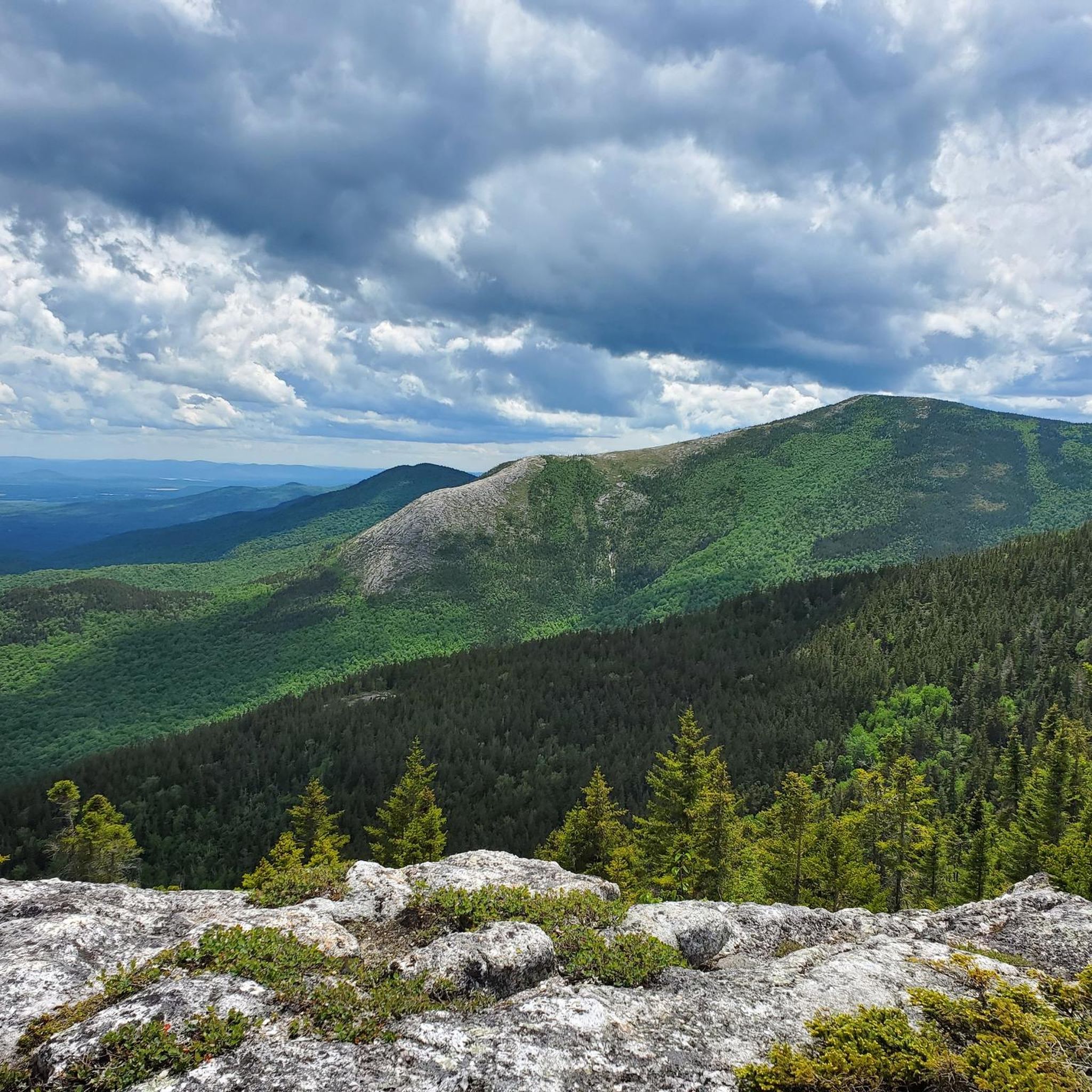
MTB Trails in White Mountain National Forest

MTB Trails around Hanover
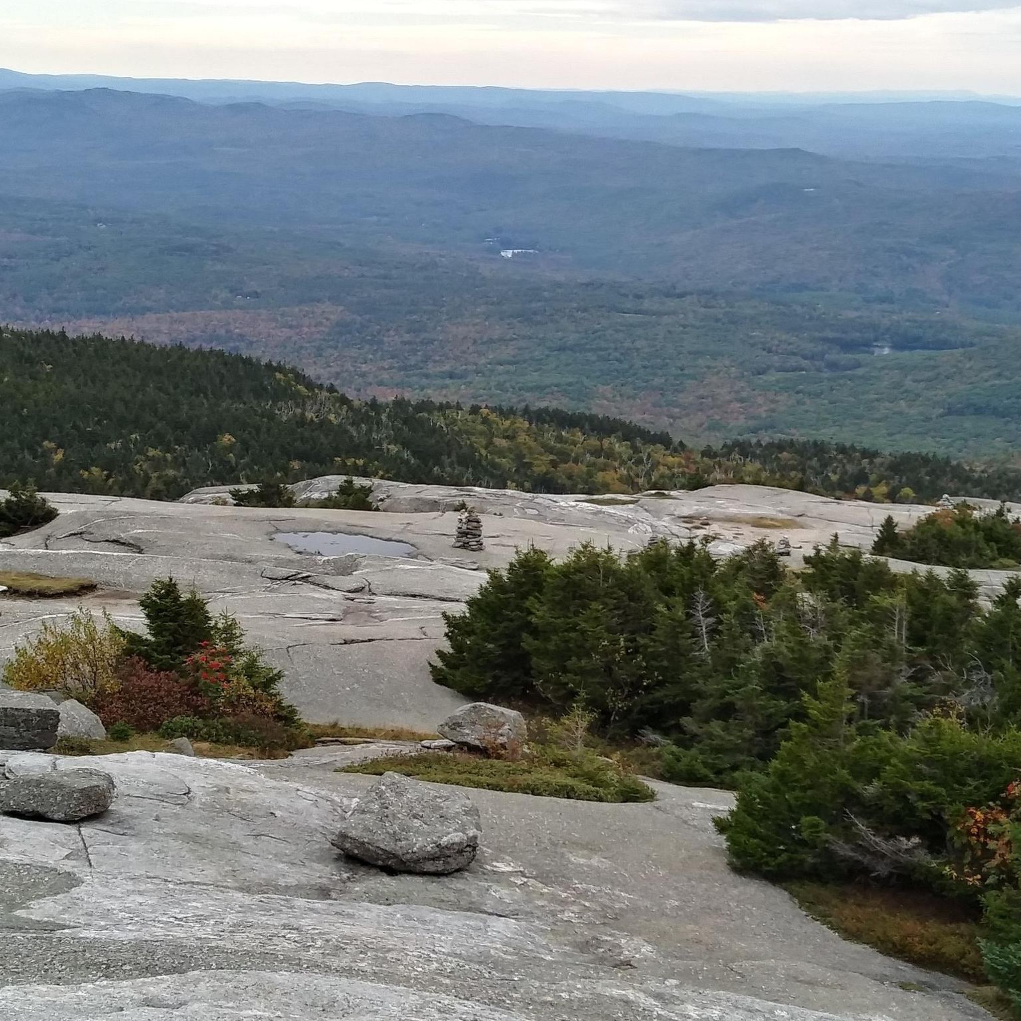
MTB Trails around Lebanon
MTB Trails in Province Road State Forest

MTB Trails around Enfield

MTB Trails around Bethlehem

MTB Trails around Littleton

MTB Trails in Strawberry Hill State Forest

The Appalachian Trail — America's most iconic long-distance hike
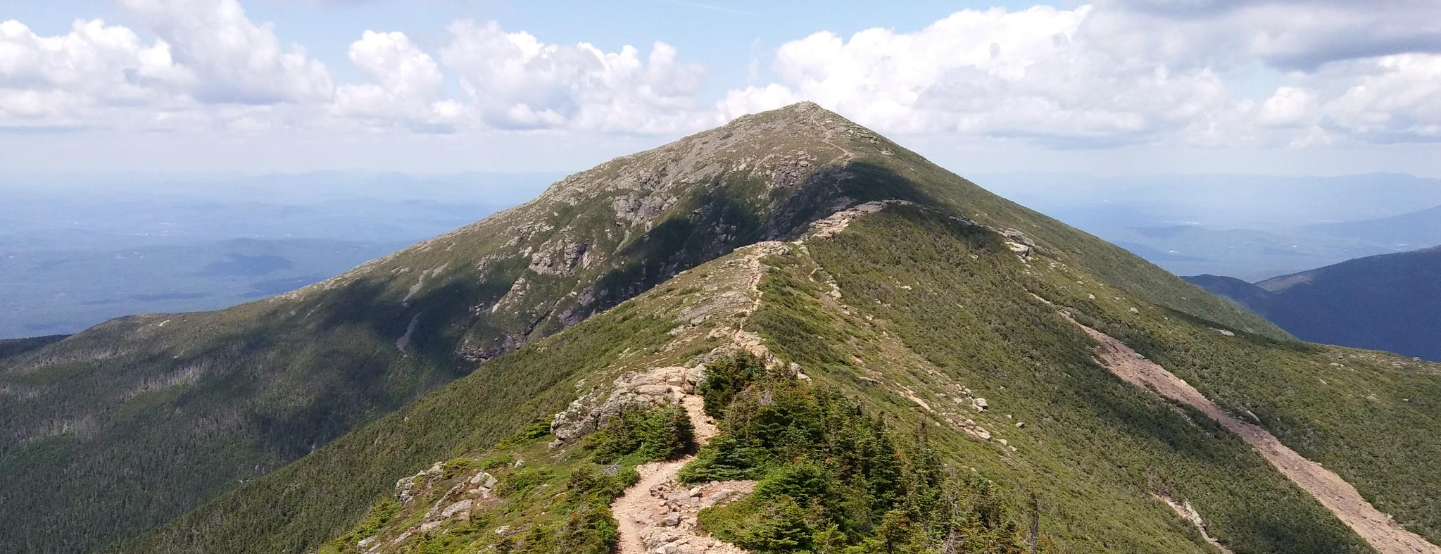
Pemigewasset Loop — A White Mountains classic I keep coming back to
Other adventures in Grafton County


Tips from the Community

Fun mix of dirt roads and singletrack around Parker Reservoir. Easy to moderate trails with forest views and open fields—great for a ride close to town.
0
0
The Chain Link Trail is one of several stellar singletrack routes within the extensive Franconia/Bethlehem/Littleton MTB network—nearly 100 miles of trails await in this area. This loop features old railroad-grade singletrack with roots, rocks, and forest shade—expect moderate tech but smooth flow.
0
0
Climb up Truckin’ for a solid workout, then drop into Shoulder Roll for a fast, flowy descent with granite slabs and jumps. Advanced riders can try Brokedown Palace for steep, technical lines. At Mount Agassiz, enjoy big views of the surrounding mountains.
0
0

Norris Hill Trail is a two-mile intermediate flowy trail that descends 700ft. It's one of the many trails in the area that has been machined-cut, graded and bermed to provide a great riding experience.
0
0
Standing at 1,029 feet, Burnt Mountain offers great views of the surrounding forests. There is a small bench that makes for a nice spot for a snack break.
0
0

Brook Trail is a short and easy hike near Dorchester, New Hampshire. It doesn't include any steep inclines and is perfectly suited for a little stroll in the forest. The trail has a natural surface and is shared by hikers and bikers.
0
0
Once you reach Burnt Mountain, it's time to relax and enjoy the view over the lush green forest below you. For the best view, there is a little stone plate from where you can see far in a southern direction.
0
0

Welch Mountain provides stunning views of granite cliffs, the Waterville Valley, and the surrounding region.
1
0
Frequently Asked Questions
How many mountain bike trails are available in Grafton County?
Grafton County offers a wide selection of mountain bike trails, with over 35 routes available for exploration. These trails cater to various skill levels, from easy to difficult.
What kind of terrain can I expect on mountain bike trails in Grafton County?
The terrain in Grafton County is diverse, characterized by the White Mountains, extensive forests, and river valleys. You'll find everything from challenging machine-built descents and technical rock gardens, particularly at places like Loon Mountain Resort and PRKR MTN, to flowy singletracks and beginner-friendly loops. Many trails feature significant elevation changes and forested sections.
Are there family-friendly mountain bike trails in Grafton County?
Yes, Grafton County has several family-friendly options. There are 15 easy-rated trails, perfect for beginners or families looking for a less strenuous ride. Areas like Green Woodlands offer extensive loops with options suitable for various skill levels, including easier sections.
Can I bring my dog on the mountain bike trails?
While many outdoor areas in Grafton County are dog-friendly, specific regulations regarding dogs on mountain bike trails can vary by network or land manager. It's always best to check the local rules for the specific trail system you plan to visit, especially regarding leash laws and waste disposal.
What are some notable natural features or landmarks I might see while mountain biking?
Grafton County is rich in natural beauty. You might encounter majestic peaks and panoramic views within the White Mountains, such as vistas of Mount Moosilauke from Loon Mountain. Other notable features include the deep stream gorge of Flume Gorge and the glacial pothole known as The Basin in Franconia Notch State Park. You could also ride near significant peaks like Mount Cardigan or explore areas with diverse forests of pine, maple, and birch.
Are there any loop trails for mountain biking in Grafton County?
Many mountain bike routes in Grafton County are designed as loops, offering a continuous riding experience. Examples include the popular Green Woodlands loop, the moderate Three Hills loop, and the Mount Agassiz via Logans Trail loop. These loops provide varied distances and difficulties.
What is the best season for mountain biking in Grafton County?
The best season for mountain biking in Grafton County is typically from late spring through fall. The autumn months are particularly stunning due to the vibrant fall foliage. Always check trail conditions, especially in early spring when trails might be muddy from snowmelt, or late fall when early snows can occur.
Where can I find parking for mountain bike trails?
Parking availability varies by trail network. Popular areas like Green Woodlands, PRKR MTN, and Boston Lot typically have designated parking areas. It's advisable to check specific trailheads or local land management websites for detailed parking information before your ride.
What do other mountain bikers say about the trails in Grafton County?
The mountain bike trails in Grafton County are highly regarded by the komoot community, holding an average rating of 4.4 stars from over 20 reviews. Riders often praise the diverse terrain, the beauty of the White Mountains, and the variety of options available for different skill levels.
Are there any advanced or difficult mountain bike trails in the area?
Yes, Grafton County offers challenging trails for experienced riders. There are 4 difficult-rated routes, including the Norris Hill Trail loop from The Hummingbird Center and the Brook Trail loop from Green Woodlands West. Areas like Loon Mountain Resort feature machine-built descents with rock slabs and berms, while PRKR MTN is known for technical rock gardens.
Can I find waterfalls near mountain bike trails in Grafton County?
Yes, Grafton County is home to several beautiful waterfalls. While not directly on every mountain bike trail, you can find stunning natural attractions like Arethusa Falls, Sabbaday Falls, and the Falling Waters Trail, which are often accessible via short hikes or located near trail networks.
Are there options for longer mountain bike rides in Grafton County?
Absolutely. For those seeking longer rides, the Green Woodlands loop spans over 18 miles (29.4 km). Another option is the Norris Hill Trail loop, which is over 13 miles (21.8 km) and offers a more challenging experience.
Most popular routes in Grafton County
Most popular attractions in Grafton County

Get inspired with the komoot mobile app


Didn’t find what you were looking for?
Check out more MTB trails throughout Grafton County below and find the perfect route in your destination.
Explore more
Browse the best MTB trails in other regions.
