The best road cycling routes in Pitkin County
4.9
(36)
1,770
riders
42
rides
Road cycling in Pitkin County offers diverse terrain set against the Rocky Mountains, featuring a network of paved trails and scenic roads. The region is characterized by high mountain passes, river valleys like the Roaring Fork, and extensive aspen groves. Cyclists can explore routes that wind through alpine landscapes, past iconic peaks, and along tranquil waterways. The varied topography provides options ranging from gentle riverside paths to challenging climbs over the Continental Divide.
Best road cycling routes in Pitkin County
- The most popular road cycling route is Maroon Lake via Maroon Creek Road, a 19.2 miles (30.9 km) trail that takes 1 hour 35 minutes to complete. This moderate route leads to the iconic Maroon Bells, offering scenic mountain views.
- Another top favourite among local road cyclists is Ashcroft Ghost Town via Castle Creek Road, a moderate 23.4 miles (37.6 km) path. This route features a consistent climb through picturesque aspen groves, leading to a historic ghost town.
- Local road cyclists also love the Independence Pass via Hwy 82, a 39.9 miles (64.3 km) trail leading through high alpine terrain, often completed in about 3 hours 29 minutes. This challenging route ascends to the Continental Divide at over 12,000 feet.
- Road cycling in Pitkin County is defined by the Rocky Mountains, the Roaring Fork River Valley, and extensive aspen groves. The network offers options for different ability levels, from gentle valley rides to demanding alpine climbs.
- The routes in Pitkin County are highly rated by the komoot community with an average score of 4.8 stars from over 30 reviews. More than 1,600 road cyclists have used komoot to explore Pitkin County's varied terrain.
Last updated: October 10, 2026
5.0
(10)
229
riders
30.9km
01:35
530m
530m
Embark on a moderate 19.2-mile (30.9 km) racebike journey along Maroon Creek Road, a paved route that takes you through stunning natural beauty. You will cycle past vibrant aspen groves, particularly picturesque in autumn, and follow the winding Maroon Creek. The route offers continuous views of towering cliffs, including Pyramid Peak, before culminating at the iconic Maroon Bells and the serene, clear waters of Maroon Lake. This ride involves a steady climb of 1740 feet (530 metres) and typically takes about 1 hour and 35 minutes to complete. Keep an eye out for wildflowers in early summer and the chance to spot moose near the creek.
Planning your ride to Maroon Lake is straightforward, but be aware of seasonal and daily access changes. The road typically opens around Memorial Day and closes by mid-October, depending on snow conditions. During peak daytime hours, usually from 9 am to 5 pm, Maroon Creek Road has vehicle restrictions, making it an ideal time for cyclists to enjoy fewer cars. You can access the Maroon Bells by bicycle at any time without a fee. If you prefer not to cycle back down, shuttle buses equipped with bike racks are available for your convenience.
This route is situated within the Maroon Bells-Snowmass Wilderness, a pristine area renowned for its dramatic peaks and alpine scenery. The iconic Maroon Bells are among the most photographed mountains in North America, offering a truly memorable backdrop to your ride. The journey along Maroon Creek provides a unique opportunity to immerse yourself in this spectacular natural environment, making it a highlight for any road cyclist visiting the region.
5.0
(1)
130
riders
37.6km
01:49
530m
530m
Embark on a moderate road cycling adventure to Ashcroft Ghost Town via Castle Creek Road. This scenic route stretches for 23.4 miles (37.6 km) and involves a steady climb of 1727 feet (526 metres), typically taking you around 1 hour and 48 minutes to complete. As you pedal, you will be surrounded by the majestic Elk Mountains, with Castle Creek flowing beside you and dense aspen groves providing a vibrant backdrop, especially beautiful during autumn.
To begin your ride, head to the roundabout just outside Aspen and follow Castle Creek Road. The path is fully paved up to Ashcroft Ghost Town and continues for about 1.5 miles beyond, offering a smooth surface for your racebike. While generally less busy than other routes in the area, it is always a good idea to check local conditions before you set out to ensure a pleasant and safe journey.
Your destination, Ashcroft Ghost Town, is a fascinating historical landmark, preserving restored silver mining buildings from the 1880s. This unique stop offers a glimpse into the past, making the ride more than just a physical challenge. Keep an eye out for local wildlife, such as elk or even bear cubs, as you traverse the White River National Forest, adding an element of natural discovery to your historical exploration.

5.0
(2)
115
riders
64.3km
03:29
1,300m
1,300m
Road cycling Independence Pass via Hwy 82 is a difficult 40.0 miles (64.3 km) route with 4280 feet of elevation gain and stunning alpine vie
5.0
(2)
45
riders
46.3km
02:00
400m
400m
This moderate 28.7-mile road cycling route from Basalt to Ruedi Reservoir offers scenic views and 1298 feet of elevation gain.
42
riders
28.4km
01:31
440m
440m
Cycle the moderate 17.7-mile Owl Creek and Brush Creek Loop, connecting Snowmass Village and Aspen with scenic ranch land and mountain views
4.0
(2)
37
riders
60.5km
03:31
930m
930m
Embark on the Rio Grande and Brush Creek Trail Loop for a diverse road cycling experience through Colorado's stunning landscapes. This route parallels the Roaring Fork River, guiding you past verdant ranchlands, through forests of ponderosa and spruce, and offering continuous river views. You might even spot bald eagles or osprey, with the majestic Mount Sopris often visible in the distance.
This difficult 37.6-mile (60.5 km) loop involves a substantial 3061 feet (933 metres) of elevation gain, typically taking around 3 hours and 30 minutes to complete. While the Rio Grande Trail is largely paved, expect varied surfaces including concrete and compacted gravel, especially on the Brush Creek Trail segment. The best time to cycle is from late spring through early fall, specifically May to October, when conditions are optimal.
This loop is a notable "rails-to-trails" project, transforming a historic railroad corridor into a multi-use path that connects communities like Snowmass Village. The separation from car traffic allows for full immersion in nature, and the Roaring Fork Transportation Authority (RFTA) bus service, equipped with bike racks, offers a convenient option for one-way rides or shuttling back to your start.
26
riders
86.4km
04:10
1,130m
1,130m
Cycle the challenging 53.7-mile Rio Grande Trail to Maroon Bells, gaining 3704 feet for iconic mountain and lake views.
5.0
(1)
19
riders
105km
04:49
1,030m
1,030m
Cycle the challenging 65.1-mile Rio Grande and Ruedi Reservoir Loop, gaining 3374 feet through diverse Colorado landscapes.
2
riders
28.8km
02:58
860m
860m
The Queens Gulch loop offers a classic Colorado road cycling experience, winding through high-country landscapes with expansive views of the Elk Mountains. You'll find well-paved surfaces for most of this 17.9-mile (28.8 km) route, but be prepared for some unpaved sections that require caution. The scenery is particularly stunning in the fall when the foliage adds a vibrant touch to the already impressive mountain backdrop.
This moderate route demands good fitness, with a significant 2823 feet (861 metres) of elevation gain packed into its roughly 2 hours and 57 minutes duration. While there's no specific trailhead parking mentioned, the route is easily accessible from Aspen, a major recreation hub. It's an ideal choice for an honest workout, especially during the early and late seasons when higher-elevation routes might still be snowbound.
Beyond the challenging climbs and rewarding views, the Queens Gulch loop stands out for its proximity to Aspen, offering a convenient escape into the Rocky Mountains. It's a great option for cyclists who appreciate a substantial physical effort paired with real mountain scenery, making it a popular choice for those seeking a genuine high-country road cycling adventure.
5.0
(3)
91
riders
47.9km
02:30
670m
670m
Moderate road ride. Good fitness required. Some segments of this route may be unpaved and difficult to ride.
Get access to more routes and recommendations from other explorers.
Already have an account?
Our route recommendations are based on thousands of hikes, rides, and runs completed by other people on komoot.
Start today with a free account
Your next adventure awaits.
Popular around Pitkin County
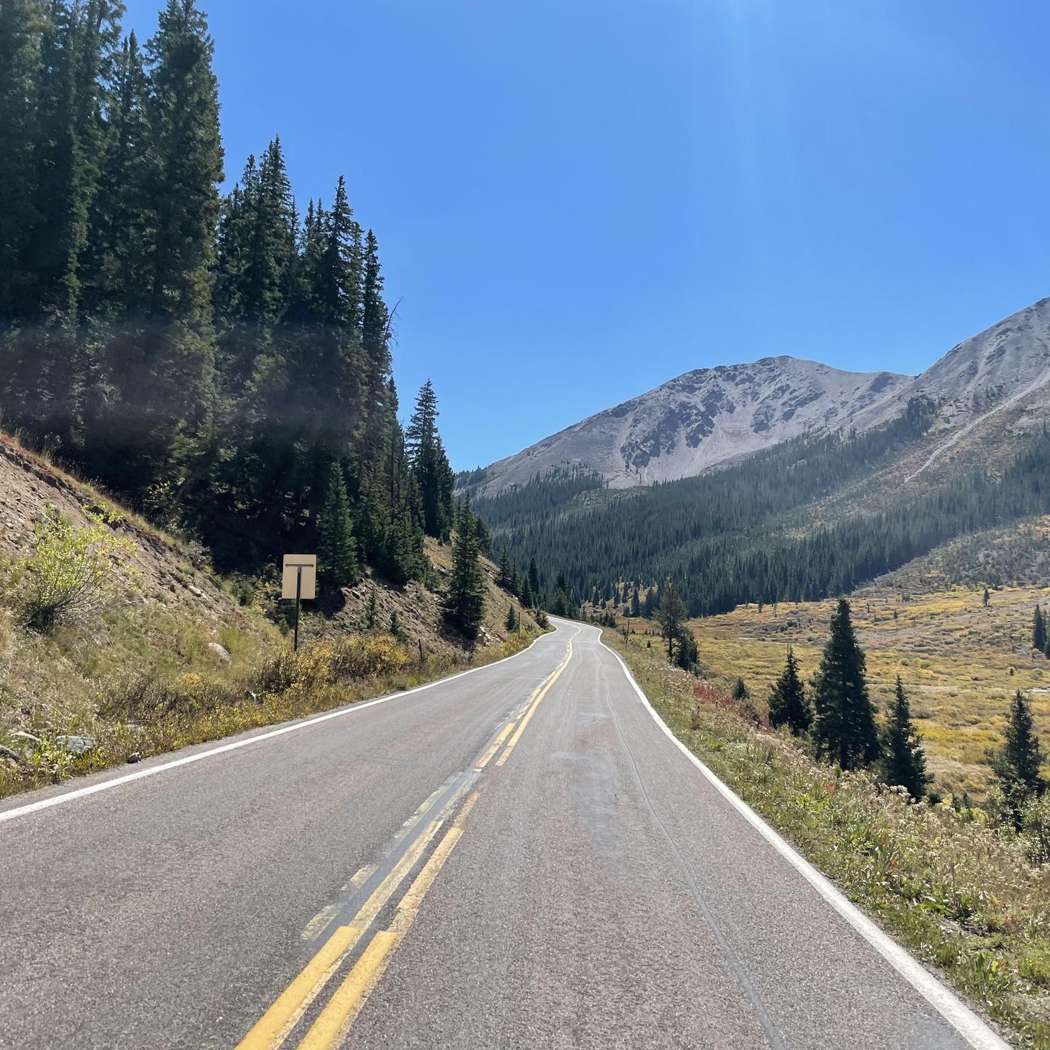
Road Cycling Routes around Aspen
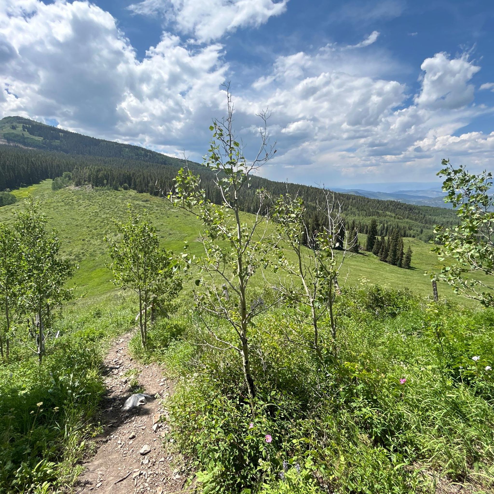
Road Cycling Routes around Snowmass Village
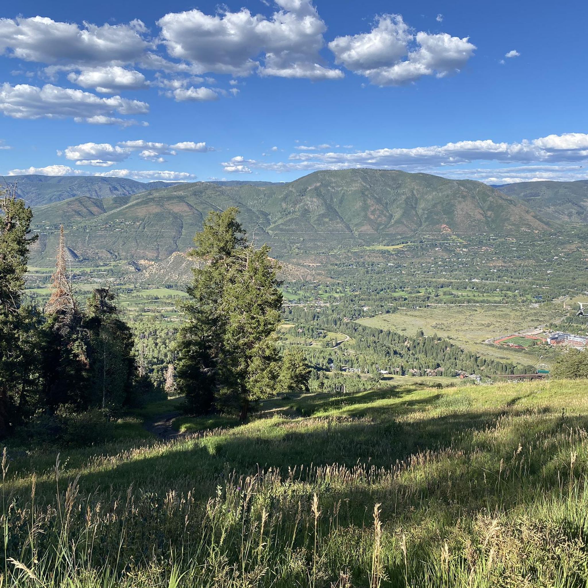
Road Cycling Routes in Hunter-Fryingpan Wilderness
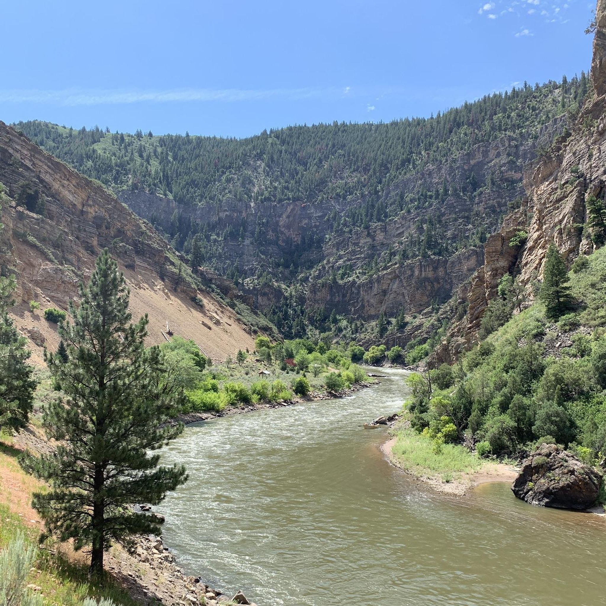
Road Cycling Routes around Basalt
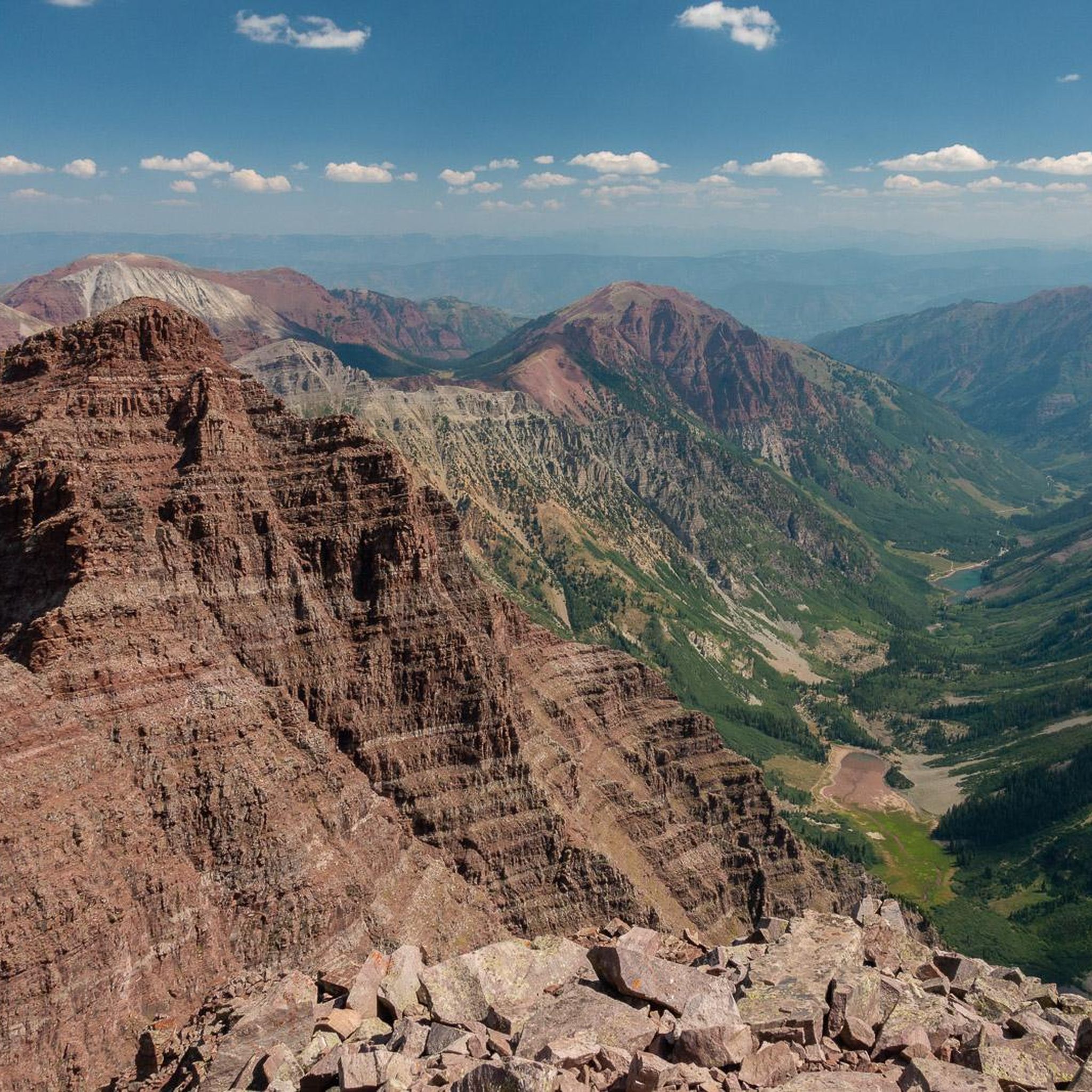
Road Cycling Routes in Maroon Bells-Snowmass Wilderness
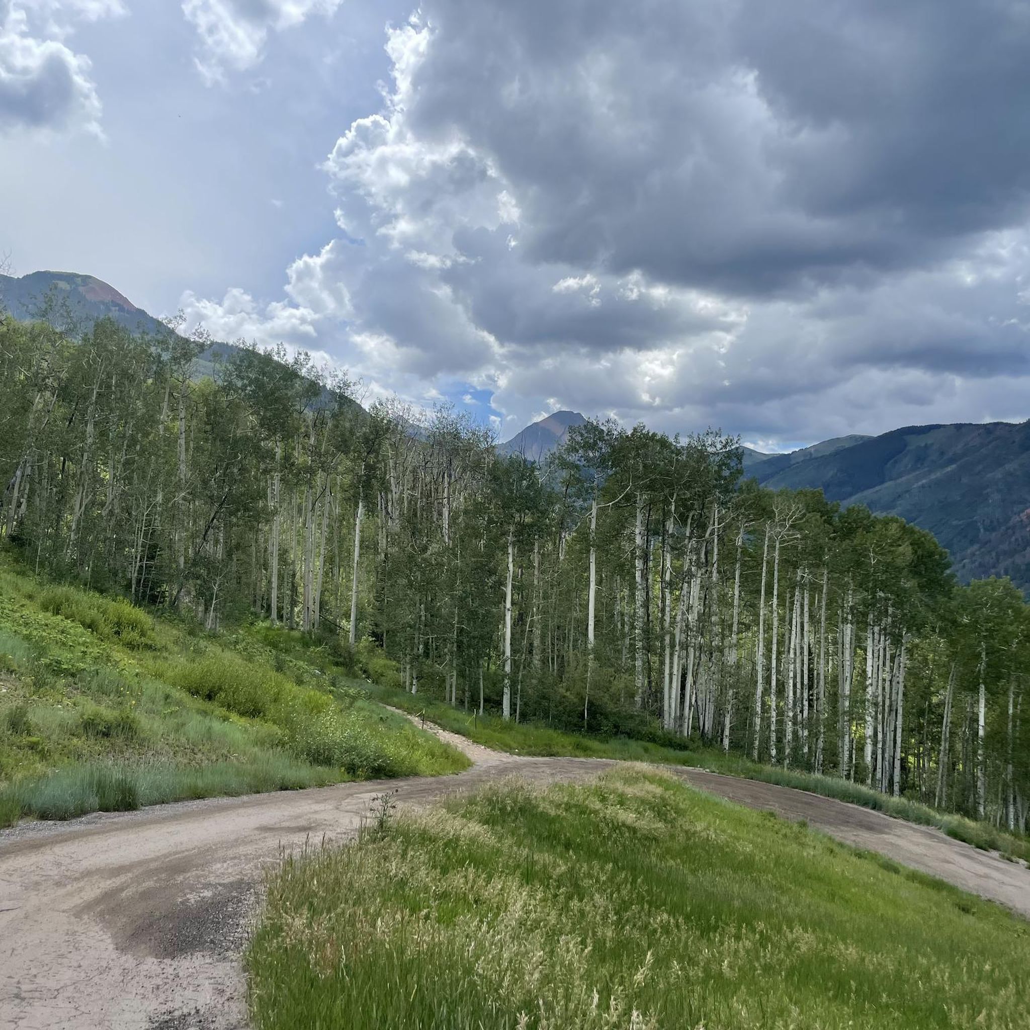
Road Cycling Routes around Woody Creek

Road Cycling Routes in Eagle Mountain Wilderness Study Area
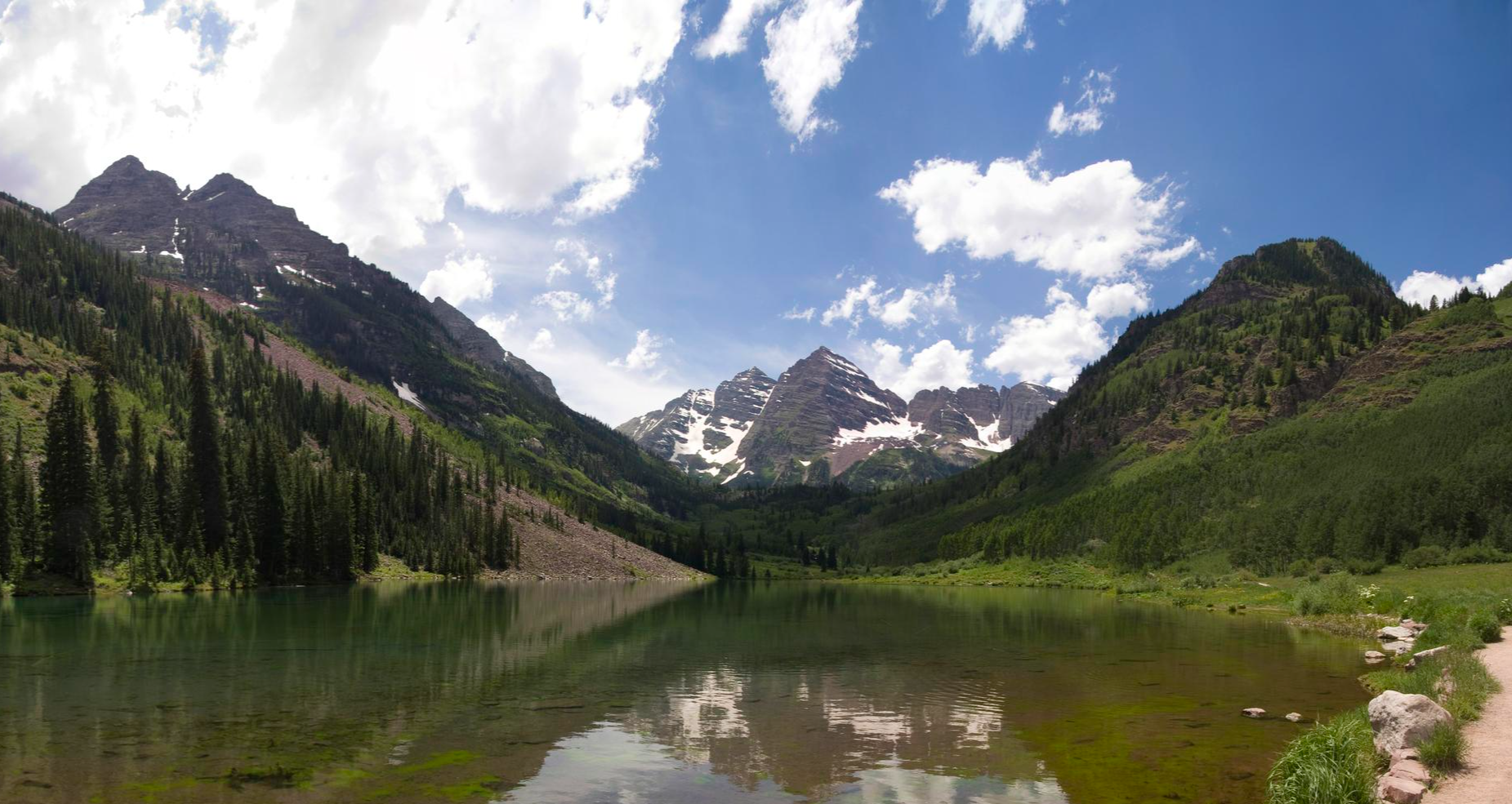
Four Pass Loop — Four times the challenge, four times the reward
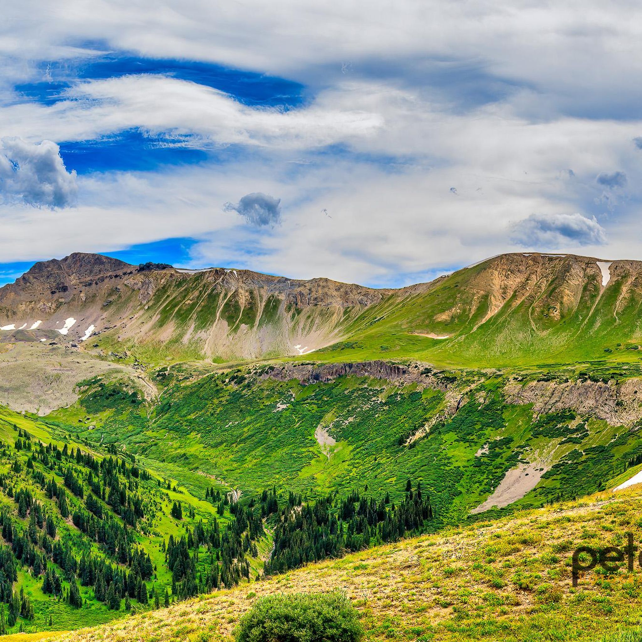
Hiking in Pitkin County
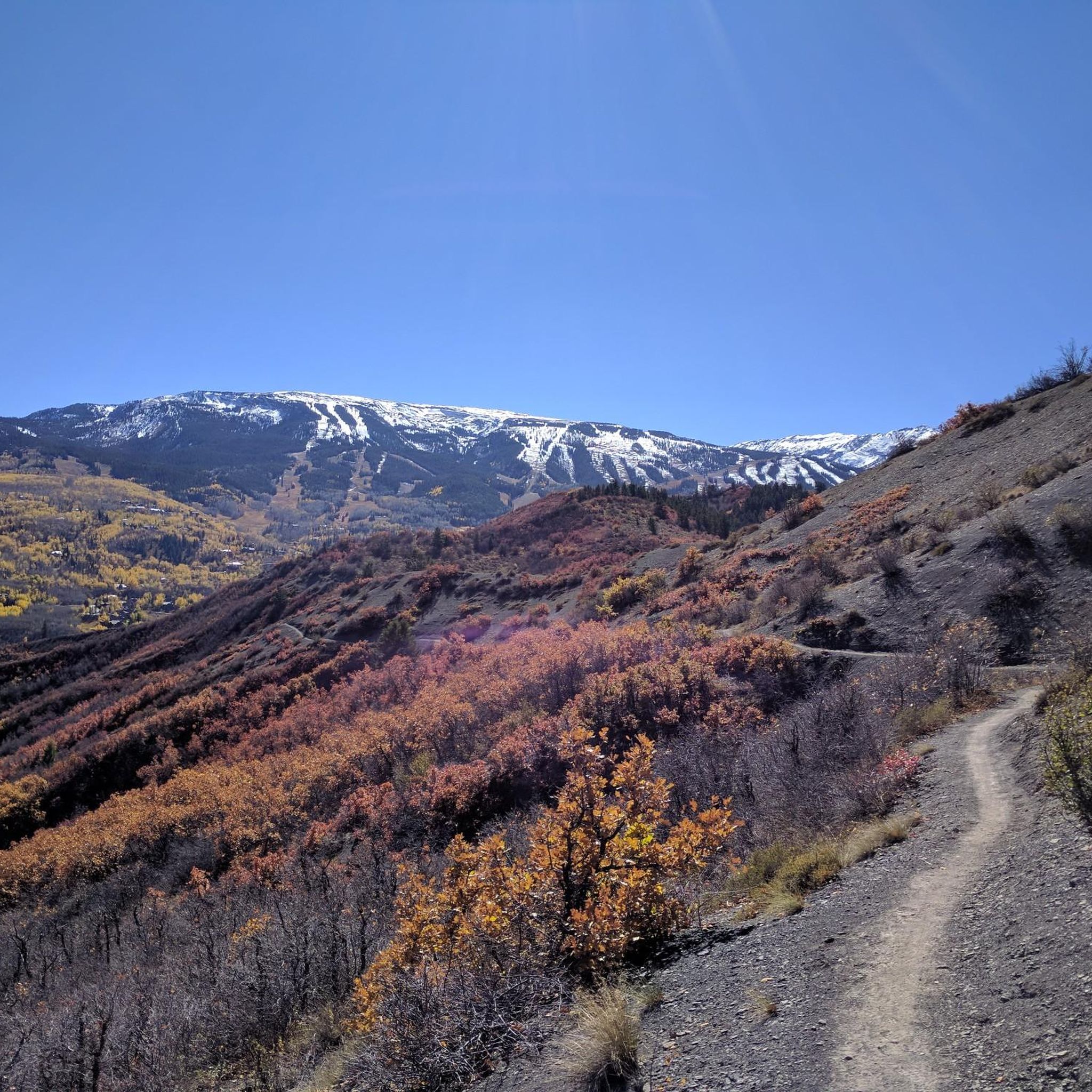
MTB Trails in Pitkin County
Other adventures in Pitkin County

Tips from the Community

The North Star Nature Preserve is an access point to the Roaring Fork River. There is kayaking access, access to the East of Aspen Trail, and parking at this south gate. Dogs are allowed on the East of Aspen Trail as long as they are leashed, but are not allowed anywhere else in the preserve so as not to disturb the moose population here.
0
0
The North Star Nature Preserve is an access point to the Roaring Fork River. There is kayaking access, access to the East of Aspen Trail, and parking at this south gate. Dogs are allowed on the East of Aspen Trail as long as they are leashed, but are not allowed anywhere else in the preserve so as not to disturb the moose population here.
0
0

Climbing Independence Pass eastwards from Aspen is a bucket-list journey to the Continental Divide, reaching an extreme altitude of 12,095ft, making it one of North America's highest paved passes. Prepare for a very long 18-20 mile and challenging climb gaining over 4000ft; while the average grade is moderate at 4-5%, expect long, sustained climbing sections particularly above the tree line, likely averaging 6-8% in parts, amplified significantly by the thin air. Along the route you'll see the stunning transition through beautiful aspen groves to breathtaking alpine tundra vistas. Be aware that services are non-existent between Aspen and Twin Lakes so be self-sufficient and check the road status before attempting the climb.
0
0
The North Star Nature Preserve is an access point to the Roaring Fork River. There is kayaking access, access to the East of Aspen Trail, and parking at this south gate. Dogs are allowed on the East of Aspen Trail as long as they are leashed, but are not allowed anywhere else in the preserve so as not to disturb to the moose population here.
0
0
The North Star Nature Preserve is an access point to the Roaring Fork River. There is kayaking access, access to the East of Aspen Trail, and parking at this south gate. Dogs are allowed on the East of Aspen Trail as long as they are leashed, but are not allowed anywhere else in the preserve so as not to disturb the moose population here.
0
0

Aspen, Colorado, the world-famous ski resort town is a great place to kick off or end your ride by exploring the historic downtown area. Cruise through the streets with Victorian architecture, checking out local shops and art galleries, grab a quick coffee at one of the nearby cafes, or stop by one of the diverse restaurants in town for a meal, before hitting the road again.
1
0

Travelling from the direction of Aspen south west towards Maroon Bells, this is a spectacular climb. Views of the mountain are incredible and at the top, Maroon Lake makes a perfect rest stop. A visit in the fall makes an incredible ride somehow even better.
0
0

Maroon Lake is an alpine lake situated at the center of the Maroon Bells Scenic Area and sits at an elevation of 9,585 feet. The view across Maroon Lake, with North Maroon Peak in the background, is the most photographed scene in Colorado. It can be very crowded in the summer; however, due to the limited access for cars, biking becomes a great option.
1
0
Frequently Asked Questions
What types of road cycling routes can I find in Pitkin County?
Pitkin County offers a diverse range of road cycling routes, from gentle riverside paths to challenging alpine climbs. You'll find over 50 miles of paved bike trails and scenic county highways. Options include routes through extensive aspen groves, along the Roaring Fork River Valley, and up to high mountain passes in the Rocky Mountains.
Are there any easy road cycling routes suitable for beginners or families?
Yes, Pitkin County has several routes suitable for beginners and families. The Rio Grande Trail is a 42-mile paved, multi-use path connecting Aspen to Glenwood Springs, offering a gentle incline and a car-free environment for much of its length. It's ideal for all ages and skill levels.
What are some challenging road cycling routes for experienced riders?
For experienced riders seeking a challenge, the ascent to Independence Pass via Hwy 82 is a demanding climb to over 12,000 feet on the Continental Divide. Another challenging option is the Rio Grande and Ruedi Reservoir Loop, which covers over 65 miles with significant elevation gain through diverse landscapes.
What natural features and landmarks can I see along the road cycling routes?
Many routes offer stunning views of the Rocky Mountains and pass through scenic aspen groves. You can cycle to the iconic Maroon Lake via Maroon Creek Road, or explore the historic Ashcroft Ghost Town by riding along Castle Creek Road. The Rio Grande Trail also provides access to the Roaring Fork River and overlooks like Slaughterhouse Falls.
When is the best time of year to go road cycling in Pitkin County?
The best time for road cycling in Pitkin County is generally from late spring through early fall. Independence Pass, for example, is particularly rewarding in late spring before it fully opens to vehicle traffic, offering a unique experience. Summer provides ideal conditions for most routes, with stunning mountain views and pleasant weather.
Are there any loop routes available for road cyclists?
Yes, Pitkin County offers several excellent loop routes. The Rio Grande and Brush Creek Trail Loop is a popular option, as is the Queens Gulch loop in Aspen. For a longer, more challenging ride, consider the Rio Grande and Ruedi Reservoir Loop.
What are the options for connecting between towns or areas like Aspen and Snowmass?
You can connect Aspen to Snowmass Base Village via routes like the Owl Creek and Brush Creek Loop. Additionally, the Rio Grande Trail offers a popular downhill cruise from Aspen to the Woody Creek Tavern, and connects to other towns like Basalt and Glenwood Springs.
What do other road cyclists enjoy most about road cycling in Pitkin County?
The area is highly rated by the komoot community, with an average score of 4.8 stars from over 30 reviews. Cyclists often praise the stunning Rocky Mountain scenery, the well-maintained paved trails, and the variety of routes catering to different skill levels, from gentle valley rides to demanding alpine climbs.
Are there any specific regulations or considerations for cycling to Maroon Bells?
During peak hours (8 am to 5 pm) in summer, Maroon Creek Road, which leads to the Maroon Bells, has bus-only access for vehicles. This makes it a cyclist's paradise with light traffic. However, it's advisable to check current access regulations and potential permit requirements, especially during peak season. You can find more information at visitmaroonbells.com.
How many road cycling routes are available in Pitkin County?
Pitkin County offers a wide selection of road cycling routes, with over 45 routes documented on komoot. These include 6 easy, 29 moderate, and 12 difficult options, ensuring there's a route for every skill level.
Can I find less crowded road cycling routes in Pitkin County?
While popular routes like Maroon Creek Road can see significant traffic, especially during peak season, exploring routes like McLain Flats Road offers gentle rolling terrain with scenic views of the Aspen/Snowmass Valley and Mount Daly, and can be a good option for a less crowded experience. Early mornings or weekdays can also help avoid crowds on more popular trails.
Most popular routes in Pitkin County
Most popular attractions in Pitkin County

Get inspired with the komoot mobile app


Didn’t find what you were looking for?
Check out more Road cycling routes throughout Pitkin County below and find the perfect route in your destination.
Explore more
Browse the best Road cycling routes in other regions.
