The best walks and hikes around Själevadsfjärden
4.4
(27)
124
hikers
16
hikes
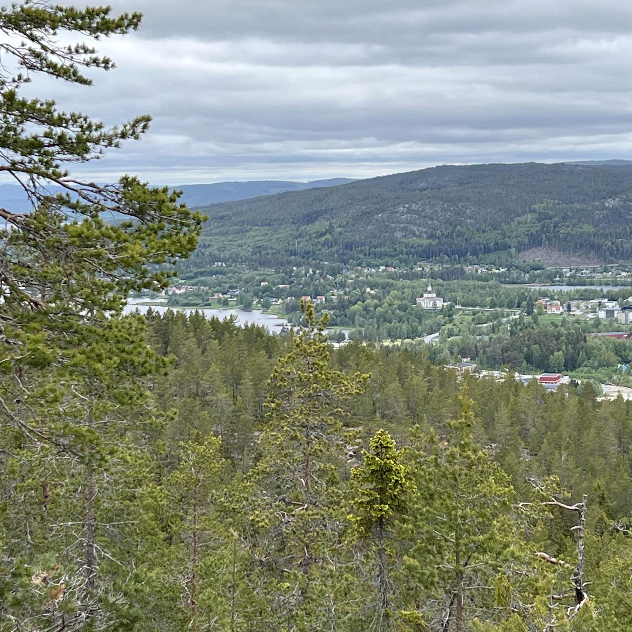
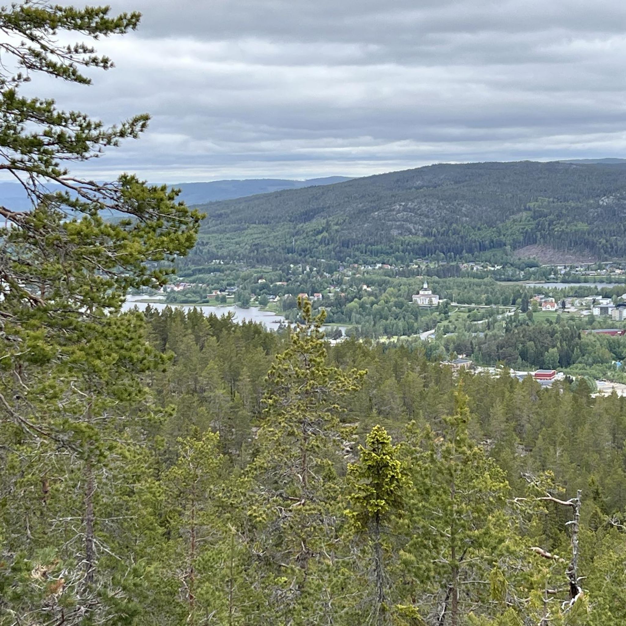
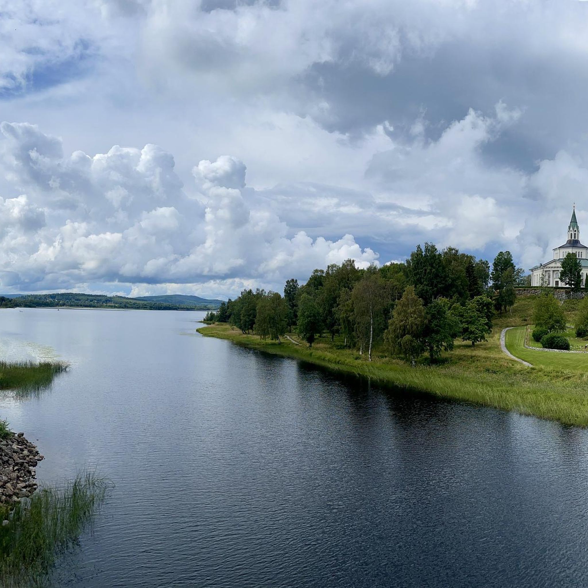
Hiking trails around Själevadsfjärden are situated within Sweden's High Coast region, characterized by its dramatic geological formations and diverse landscapes. The area features the tranquil Själevadsfjärden lake, part of the Moälven river system, with extensive reedy shores and three islands. Surrounding the lake, the terrain includes a mix of forest and agricultural lands, offering varied topography for outdoor activities.
Best hiking trails around Själevadsfjärden
- The most popular hiking route is Skellefteå City Church loop from Själevad, a 4.3 miles…
Last updated: October 29, 2026
4.0
(1)
4
hikers
7.00km
01:48
40m
40m
Easy hike. Easily walkable paths.
3
hikers
4.26km
01:29
150m
140m
Moderate hike. Mostly walkable paths. Sure-footedness required.

5.0
(1)
3
hikers
17.9km
05:15
390m
390m
Hard hike. Very good fitness required. Sure-footedness, sturdy shoes and alpine experience required.
5
hikers
2.50km
00:40
20m
20m
Easy hike. Easily walkable paths.
4.7
(9)
39
hikers
10.5km
03:45
340m
340m
Moderate hike. Good fitness required. Mostly walkable paths. Sure-footedness required.
Get access to more routes and recommendations from other explorers.
Already have an account?
Our route recommendations are based on thousands of hikes, rides, and runs completed by other people on komoot.
Start today with a free account
Your next adventure awaits.
Popular around Själevadsfjärden
Tips from the Community


On the lit loop trail, not far from the parking lot, you'll find an outdoor gym with various options for building strength.
0
0
Located near the center of Örnsköldsvik is the Hörnsjöns Nature Reserve, which is perfect for running in peaceful natural surroundings. There is a lit path through the forest and around the lake. At the parking lot, you’ll find an information board showing the marked trails.
0
0

Varvsberget is located near the centre of Örnsköldsvik. Known for the ski jump, Paradiskullen. There is a restaurant on the top, with great views of the city. It also stands as the beginning or end of the Höga Kusten-leden hiking trail.
0
0

A-Maze-Thing is an architectural windbreak project of the ArkNat program on the High Coast. It was designed in 2018 by an international team of architecture students.
0
0
Hike the Gulaleden trail to Åsberget, Örnköldsvik's town hill. This area is home to one of Sweden's northernmost deciduous forests. Oaks, beeches, and linden trees grow here, as well as hazelnuts, blackberries, and rosehips.
1
0

Strange building, but a real eye-catcher.
1
0

A weir with a kind of lifting construction using chains.
0
0
Frequently Asked Questions
How many hiking trails are there around Själevadsfjärden?
There are over 18 hiking trails available around Själevadsfjärden, offering a variety of options for different skill levels and preferences. These routes are well-regarded by the komoot community, with an average rating of 4.6 stars.
What kind of terrain can I expect on the hiking trails in Själevadsfjärden?
The terrain around Själevadsfjärden is diverse, reflecting its location within Sweden's High Coast region. You'll find a mix of forested paths, open agricultural lands, and trails along the tranquil lake with its reedy shores. Some routes, particularly those ascending Åsberget, offer more varied topography and elevated perspectives.
Are there any easy hiking trails suitable for beginners or families in Själevadsfjärden?
Yes, Själevadsfjärden offers several easy hiking trails. For example, the Skellefteå City Church loop from Själevad is an easy 4.3-mile path that provides pleasant views of the local area and the church. There are 12 easy routes in total, making it a great area for beginners or families.
Are there any challenging hikes with significant elevation gain around Själevadsfjärden?
For those seeking a challenge, the Varvsberget – Ice Cave loop from Örnsköldsvik is a difficult 11.2-mile route with substantial elevation gain, offering a more strenuous experience. Other moderate trails, like the A-Maze-Thing – Åsberget loop from Ås, also include climbs that provide varied terrain and elevated views.
What natural features or landmarks can I see while hiking in Själevadsfjärden?
Hikers can enjoy the tranquil Själevadsfjärden lake itself, with its extensive reedy shores and the three islands known as Bockholmarna. The area is part of the Moälven river system and a Natura 2000 area, indicating rich aquatic environments. You can also spot the historical Själevads kyrka (church) and the bridges at Själevadssundet, which connect the lake to Veckefjärden.
Are there any circular hiking routes in Själevadsfjärden?
Many of the trails around Själevadsfjärden are designed as loops, offering convenient circular routes. Examples include the Åsberget loop from Ås, which takes you through the Åsberget hill area, and the Hiking loop from Örnsköldsvik.
What is the best time of year to go hiking in Själevadsfjärden?
The diverse landscapes of Själevadsfjärden, with its mix of forests, agricultural lands, and lake environment, make it suitable for hiking across multiple seasons. Spring and autumn offer vibrant colors and comfortable temperatures, while summer provides longer daylight hours. Even in winter, the largest of the Bockholmarna islands serves as a resting spot for a snowmobile trail, suggesting year-round recreational use.
Is Själevadsfjärden a good place for dog-friendly hiking?
While specific regulations for dogs on trails are not detailed, the natural and varied terrain of Själevadsfjärden, with its forests and open spaces, generally offers good opportunities for hiking with dogs. Always ensure your dog is under control and check local signage for any specific restrictions in certain areas or nature reserves.
What do other hikers enjoy most about the trails in Själevadsfjärden?
The trails in Själevadsfjärden are highly rated by the komoot community, with an average score of 4.6 stars from over 20 reviews. Hikers often praise the varied topography, the tranquil lake views, and the mix of forested and open paths that cater to different ability levels.
Are there viewpoints or panoramic spots along the hiking trails?
Yes, routes that include climbs, such as the A-Maze-Thing – Åsberget loop from Ås, offer elevated perspectives and potential panoramic views over the surrounding High Coast landscape and Själevadsfjärden lake. The dramatic geological formations of the High Coast often translate to scenic vistas.
Is there parking available near the trailheads in Själevadsfjärden?
While specific parking locations are not detailed, hiking areas in Sweden, especially those integrated into local recreational networks, typically provide designated parking facilities near popular trailheads. It is advisable to check local maps or komoot tour details for specific parking information for your chosen route.
Can I reach the hiking trails in Själevadsfjärden using public transport?
Själevadsfjärden is located within the Örnsköldsvik Municipality. While specific public transport links directly to all trailheads are not provided, larger towns like Örnsköldsvik usually have public transport connections. For detailed information on reaching specific starting points, it's best to consult local public transport schedules for the Örnsköldsvik area.
Most popular routes around Själevadsfjärden

Get inspired with the komoot mobile app


Explore more
Browse the best Hikes in other regions.
