The best walks and hikes in Jackson County
4.7
(54)
954
hikers
122
hikes
Jackson County Oregon hiking offers diverse landscapes in the southwestern part of the state. The region is characterized by distinctive volcanic plateaus, such as Upper and Lower Table Rock, and features extensive trail systems within the Cascade-Siskiyou National Monument and Rogue River-Siskiyou National Forest. Geological formations like Rogue Gorge and Natural Bridge provide varied terrain for outdoor activities. This area provides a range of hiking experiences from accessible paths to more strenuous routes.
Best hiking trails in Jackson County
- The most popular hiking route is Mill Creek and Barr Creek Falls Trail, a 1.4 miles (2.3 km) trail that takes 41 minutes to complete. This easy route features waterfalls.
- Another top favourite among local hikers is Hobart Bluff Trail, an easy 2.6 miles (4.1 km) path. This trail offers views from a bluff.
- Local hikers also love the Rich Gulch, Petard Ditch and Liz's Loop, a 5.3 miles (8.5 km) trail leading through varied terrain, often completed in about 2 hours 31 minutes.
- Hiking in Jackson County is defined by volcanic plateaus, diverse ecosystems, and vast wilderness areas. The network offers options for different ability levels, from easy walks to difficult ascents.
- The routes in Jackson County are highly rated by the komoot community with an average score of 4.8 stars from over 40 reviews. More than 800 hikers have used komoot to explore Jackson County's varied terrain.
Last updated: September 27, 2026
5.0
(1)
21
hikers
2.33km
00:41
70m
70m
The Mill Creek and Barr Creek Falls Trail offers a delightful, easy hike, perfect for a quick nature fix. This 1.4-mile (2.3 km) route, with a gentle 225 feet (69 metres) of elevation gain, leads you to the impressive Mill Creek Falls Viewpoint and the distinctive Giant Boulders near Barr Creek Falls. You can comfortably complete this scenic walk in about 41 minutes, making it an excellent choice for families or those new to hiking. The trail provides a refreshing experience with the sound and sight of cascading water as your constant companion.
Planning your visit is straightforward for this accessible trail. While specific details on parking or permits are not readily available, it is always wise to check current conditions before you go. The trail is generally suitable for all ages and fitness levels, but comfortable footwear is recommended. Consider an early morning or late afternoon visit to enjoy cooler temperatures and potentially fewer people on the path.
Located in Oregon, this trail is a highlight within the broader Prospect State Scenic Viewpoint area, known for its natural beauty. Its dual waterfall feature, showcasing both Mill Creek Falls and Barr Creek Falls, makes it a notable destination for waterfall enthusiasts. The easy difficulty and relatively short duration mean you can easily combine this hike with other activities in the region, offering a perfect blend of natural exploration and accessibility.
14
hikers
4.14km
01:12
100m
100m
The Hobart Bluff Trail offers a captivating journey through varied landscapes, from peaceful meadow slopes dotted with wildflowers in spring to dense oak and fir forests. The highlight is undoubtedly Hobart Bluff itself, a dramatic volcanic outcrop providing sweeping panoramic views of the Rogue Valley, Mount McLoughlin, and the iconic Pilot Rock. It's a truly rewarding experience for its relatively short length.
Planning your visit is straightforward, though seasonal considerations are key. This easy 2.6-mile (4.1 km) hike with 335 feet (102 metres) of elevation gain typically takes around 1 hour and 12 minutes. The trail is best accessed from May to November, but be aware that snow can block the road to the trailhead in early spring, even if the bluff is clear. Parking is available at the Hobart Bluff Trailhead.
Located within the unique Cascade-Siskiyou National Monument, the area is a biodiversity hotspot where several mountain ranges converge. Keep an eye out for diverse wildlife and birds, and perhaps even the rare Mardon skipper butterfly. The trail also shares a significant portion with the Pacific Crest Trail, offering a taste of this renowned long-distance route.

13
hikers
8.48km
02:32
270m
240m
The Rich Gulch, Petard Ditch and Liz's Loop offers a pleasant escape into the natural landscape of Jackson County, Oregon. This moderate hiking trail provides a consistent workout over its 5.3 miles (8.5 km) length, with a total elevation gain of 891 feet (271 metres). You can expect varied terrain typical of the region, making it a good choice for those seeking a few hours of active outdoor enjoyment.
Planning your visit to the Rich Gulch, Petard Ditch and Liz's Loop hiking area is straightforward. The trailhead is easily accessible, though arriving earlier in the day is always a good idea to ensure parking, especially on busy weekends. Remember to bring plenty of water, particularly if you're hiking during the warmer seasons, and check local weather conditions before you go.
This loop is a solid option for hikers looking for a reliable, mid-length route that takes approximately 2 hours and 31 minutes to complete. It's a great way to experience the local environment and get some exercise without committing to an all-day adventure, fitting well into a morning or afternoon schedule.
9
hikers
17.1km
05:13
600m
610m
The Lower Wonder, Fell on Knee, and Forest Service Road 300 Loop offers a robust hiking experience near Ashland, Oregon, perfect for those seeking a challenging day in nature. This difficult route spans 10.6 miles (17.1 km) and features a substantial 1979 feet (603 metres) of elevation gain, making it a true test of endurance. You'll traverse diverse landscapes, from winding trails to sections of Forest Service Road 300, providing a varied and engaging journey that typically takes about 5 hours and 12 minutes to complete. It's an excellent choice if you're looking for a long, rewarding hike with plenty of uphill work.
When planning your visit, remember this is a demanding trail, so an early start is advisable to ensure you have enough daylight, especially if you're hiking in the shorter days of fall or spring. While specific parking information isn't detailed, look for trailhead access points along Forest Service Road 300. Always pack sufficient water, snacks, and layers, as conditions can change quickly in the mountains of Jackson County. Be prepared for a full day on the trail.
This loop combines named trails like Lower Wonder and Fell on Knee with a segment of Forest Service Road 300, creating a comprehensive tour of the local terrain. The integration of different path types means you'll experience both natural singletrack and wider, more established routes. This blend offers a unique perspective on the area's natural beauty and provides a good sense of accomplishment upon completion, making it a standout option for experienced hikers in the region.
5.0
(2)
6
hikers
15.3km
04:34
460m
480m
The Mount Ashland and Pacific Crest Trail Loop offers a rewarding mountain hiking experience, combining a significant climb with a stretch of the famous Pacific Crest Trail. You'll navigate varied terrain as you ascend towards the Mount Ashland summit, enjoying the feeling of being high up in the mountains. This 9.5-mile (15.3 km) loop is a moderate hike, providing a good physical challenge with its 1505 feet (459 metres) of elevation gain.
To plan your Mount Ashland and Pacific Crest Trail Loop hiking adventure, ensure you have adequate water and snacks for the roughly 4 hours and 33 minutes it takes to complete. The trailhead is typically easy to find, with parking available, but always confirm access roads are open, especially outside of peak summer. Early mornings are often best to avoid afternoon heat or potential weather changes.
This route is a great way to explore the higher elevations of the region, offering a taste of the Pacific Crest Trail experience without committing to a multi-day trek. The loop format means you won't retrace your steps, keeping the scenery fresh throughout. It's a popular choice for those seeking a substantial day hike with a clear objective: reaching the Mount Ashland summit.
4
hikers
8.63km
02:43
350m
320m
The Norling Gulch Loop is a moderate hiking trail that delivers a satisfying challenge for those looking to stretch their legs. You'll navigate a path that climbs steadily, offering a good workout and a chance to immerse yourself in the natural surroundings. The route covers 5.4 miles (8.6 km) and features 1161 feet (354 metres) of elevation gain, making it a rewarding experience for hikers ready for some uphill effort.
Planning your visit to the Norling Gulch Loop is straightforward. The trailhead is easily accessible, and while parking is usually available, arriving earlier in the day is advisable, particularly on busy weekends. This trail is best enjoyed during the cooler parts of the day, especially if you're tackling the 2 hours and 42 minutes estimated duration in warmer weather. Always carry enough water for the climb.
This Norling Gulch Loop is a popular choice for its balanced difficulty and manageable length, making it a great option for a half-day adventure. It provides a good sense of accomplishment without being overly strenuous for experienced hikers, and it's a solid step up for those looking to advance from easier trails. The varied terrain and consistent elevation changes keep the hike engaging from start to finish.
4
hikers
8.97km
02:44
340m
200m
If you're seeking a dynamic hike in Pinnacles National Park, the Bear Gulch to Tunnel Ridge Loop is a great option. This moderate 5.6-mile (9.0 km) loop takes you through the distinctive Bear Gulch, hinting at unique rock formations and perhaps even cave-like features, before climbing to Tunnel Ridge for impressive vistas. With 1130 feet (344 metres) of elevation gain, expect a good workout that typically takes around 2 hours and 43 minutes to complete, offering a rewarding experience for those who enjoy varied terrain and scenic overlooks.
Planning your visit to the Bear Gulch area means aiming for an early start, especially if you're driving, as Pinnacles National Park parking lots, particularly at Bear Gulch, can fill up quickly. The cooler months from fall to spring are ideal for tackling this trail, helping you avoid the intense heat that can make summer hiking challenging. Always check the park's official website for the latest information on access and any potential entry requirements.
The Bear Gulch to Tunnel Ridge Loop stands out for its combination of unique geological features and panoramic views, making it one of the best loop hikes in Pinnacles National Park. The trail's name itself suggests a journey through a gulch and over a ridge, promising diverse scenery from close-up rock formations to sweeping landscapes. Keep an eye out for local wildlife, as national parks are always home to interesting creatures.
3
hikers
8.41km
02:25
90m
420m
The East Applegate Ridge Trail offers a pleasant and accessible hiking experience, perfect for a relaxed day outdoors. This moderate route spans 5.2 miles (8.4 km) and involves a manageable 294 feet (89 metres) of elevation gain, making it suitable for most hikers. You can expect a journey that takes approximately 2 hours and 24 minutes, allowing you to immerse yourself in the natural setting of the Applegate Valley without excessive exertion. It's a great option for those seeking a gentle escape into nature.
When planning your visit, you'll find general trailhead access and parking available for the East Applegate Ridge Trail. Since specific details about permits, fees, or seasonal considerations are not provided, it's always a good idea to check local conditions before you go. Ensure you carry adequate water, especially if hiking during warmer periods, and aim to complete your hike during daylight hours for safety and enjoyment.
This trail provides a wonderful opportunity to explore the Applegate Valley, offering a taste of the region's natural beauty. While specific landmarks or unique features are not detailed, the trail's name suggests scenic ridge-top views. It's an ideal choice for families, beginners, or anyone looking for a straightforward and enjoyable hike in Jackson County, providing a refreshing break from daily routines.
3
hikers
6.34km
01:57
290m
170m
The Lewis Loops offers a refreshing escape into nature, providing a consistent and engaging hike that feels like a proper workout without being overly demanding. You'll navigate through pleasant, natural landscapes, enjoying the quiet atmosphere and the feeling of getting away from it all. The trail's gentle undulations and varied path keep things interesting, making it a great choice for a morning or afternoon adventure.
Planning your visit to the Lewis Loops is straightforward. The trailhead is easily accessible, and while parking is generally available, arriving earlier in the day is always a good idea to ensure you find a spot, especially during peak times. This easy hiking trail is suitable for most, but remember to bring water and check the weather, as conditions can change.
This popular route is an excellent option if you're seeking easy hiking trails with a decent elevation gain. Covering 3.9 miles (6.3 km) with 940 feet (287 metres) of climbing, it takes approximately 1 hour and 57 minutes to complete. It's a fantastic way to experience the natural beauty of the Jackson County area, offering a satisfying physical challenge within a manageable timeframe.
2
hikers
6.84km
02:15
350m
280m
Embark on the Catwalk and Toothpick Trail Loop, a moderate hiking route spanning 4.2 miles (6.8 km) with an elevation gain of 1143 feet (348 metres). You can expect to complete this journey in about 2 hours and 15 minutes. As you hike, you will find yourself immersed in a wooded landscape, shaded by tall ponderosa and Douglas fir trees, with varied terrain that includes an initial uphill climb and gentle rolling sections. Keep an eye out for occasional views of Ashland and Mount McLoughlin through the trees as you pass Coggins Saddle.
When planning your visit, be aware that while the Toothpick Trail is popular with hikers, the Catwalk section is primarily designed for mountain bikers. Always stay alert for others on the trail to ensure a safe experience for everyone. This route offers a cooler hiking option during hot weather, thanks to its dense tree cover, making it a pleasant choice when temperatures rise.
This loop is nestled within the Rogue River–Siskiyou National Forest, offering a refreshing escape into nature. The trail's unique combination of sections caters to different user groups, providing a dynamic experience. It's a great way to explore the local forest environment and enjoy a substantial workout without venturing too far from nearby amenities.
Get access to more routes and recommendations from other explorers.
Already have an account?
Our route recommendations are based on thousands of hikes, rides, and runs completed by other people on komoot.
Start today with a free account
Your next adventure awaits.







Other adventures in Jackson County

Tips from the Community


Scoggins Pass is a mountain pass in Ashland Research Natural Area with an elevation of 4,297 feet. You can get to the top along Catwalk Trail.
0
0

It is a steep path up to the Hobart Bluff, but it is worth the effort. There is a great view of the Soda Mountain Wilderness at the two viewing points.
0
0
Mount Ashland is the highest peak in the Siskiyou Mountains. In the winter, it is a ski resort, but in warmer weather it is a great place for a trail run. As you will be at the highest point in the area, you get great views of the valleys and nearby peaks.
0
0

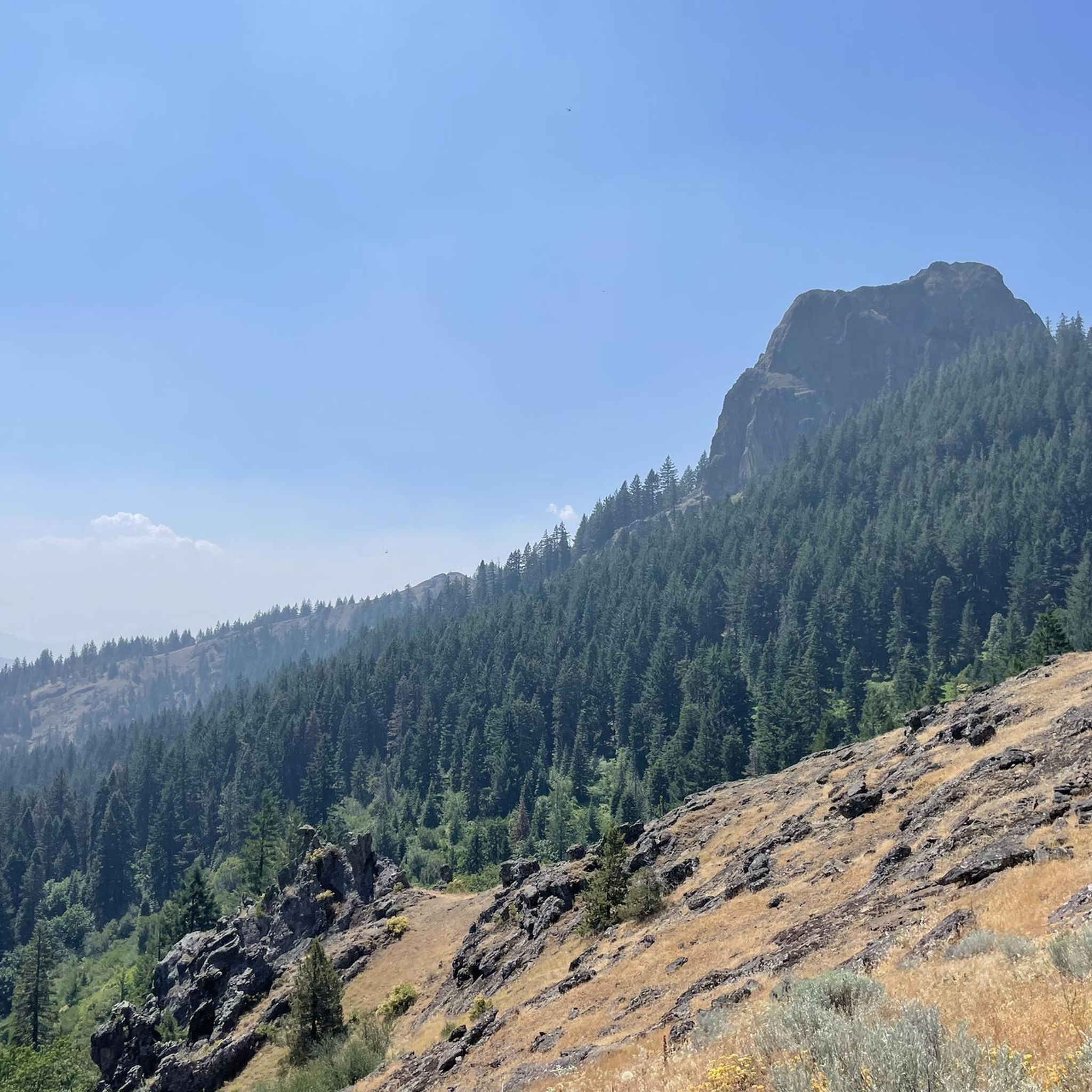
Hobart Bluff is a prominent rock formation in southern Oregon. It offers a moderately challenging hike through forest and along meadows, that features stunning views of the Rogue Valley, Mount McLoughlin, and the surrounding Siskiyou Mountains.
0
0
These Giant Boulders in the Rogue River cause a nice little cascade and if you are in the area, you should certainly visit this spot to spend some time at the river and enjoy the views of the water flowing below the nearby bridge.
0
0
Mill Creek Falls is a stunning waterfall located in Prospect, that can be perfectly seen from this viewpoint. It's part of the Mill Creek Falls Scenic Area and is known for its impressive 173-foot drop. The falls are easily accessible via a short trail and offer a beautiful natural setting.
0
0

With 7,532 feet, Mount Ashland is the highest peak in the Siskiyou Mountains in southern Oregon. It is a popular ski area, but also a very nice destination for a scenic hike. The white ball you can see up here is a weather radar station, called the Doppler.
3
0
Frequently Asked Questions
How many hiking trails are available in Jackson County?
Jackson County offers a wide variety of hiking experiences, with over 80 routes documented on komoot. These trails cater to all skill levels, from easy strolls to more challenging ascents, ensuring there's something for every hiker.
What kind of landscapes will I encounter while hiking in Jackson County?
Hiking in Jackson County, Oregon, is characterized by its unique geological features. You'll find distinctive volcanic plateaus, such as those explored on the Upper Table Rock Trail loop and the Lower Table Rock Trail. The region also features diverse ecosystems within areas like the Cascade-Siskiyou National Monument and the vast wilderness of the Rogue River-Siskiyou National Forest, offering a mix of forest, river views, and unique rock formations.
Are there any easy or family-friendly hiking options in Jackson County?
Yes, Jackson County has nearly 40 easy routes perfect for families or those seeking a gentle walk. The Upper Table Rock Trail loop is a popular easy option, offering scenic views of the volcanic plateau. Another accessible choice is the Lithia Park loop in Ashland, which provides a picturesque walk within a well-known city park.
Where can I find trails with waterfalls or scenic viewpoints?
For waterfalls, consider the easy hike to Mill Creek Falls at Prospect State Scenic Viewpoint. For stunning viewpoints, the Grizzly Peak Trail near Ashland is a local favorite, offering expansive vistas. Additionally, the Hobart Bluff via Pacific Crest National Scenic Trail provides an easy hike with rewarding views within the Cascade-Siskiyou National Monument.
Are there any loop trails for hiking in Jackson County?
Yes, Jackson County features several excellent loop trails. The Upper Table Rock Trail loop is a popular choice, offering a complete circuit around the volcanic plateau. Another notable loop is the Rogue Gorge & Natural Bridge loop, which takes you along the Upper Rogue Wild & Scenic River, showcasing interesting geological formations.
What are some challenging hikes for experienced trekkers?
For those seeking a more strenuous adventure, Jackson County offers several difficult routes. The East Applegate Ridge Trail near Jacksonville is a challenging option, covering over 16 kilometers with significant elevation gain. Another demanding but rewarding trail is the Wagner Butte Trail within the Rogue River–Siskiyou National Forest.
What do other hikers say about the trails in Jackson County?
The hiking routes in Jackson County are highly regarded by the komoot community, boasting an impressive average score of 4.9 stars from over 40 reviews. Hikers frequently praise the diverse terrain, from the unique volcanic plateaus to the scenic river paths, and the well-maintained trails that offer a range of experiences for all abilities.
Are there any notable natural attractions or landmarks to explore in Jackson County?
Beyond the trails themselves, Jackson County is home to several captivating natural attractions. The Rogue Gorge and Takelma Gorge offer dramatic geological formations. You can also visit Giant Boulders, a unique highlight along the Upper Rogue River. For a relaxing stop, Hyatt Reservoir provides a scenic lakeside setting.
Are there any accommodations or places to stay near the hiking areas?
While specific cafes and pubs are not detailed in the trail data, Jackson County does offer options for lodging. You can find places like Callahan's Lodge and Union Creek Resort, which provide convenient bases for exploring the surrounding hiking trails and natural beauty.
What is the best time of year to go hiking in Jackson County?
Jackson County, Oregon, offers hiking opportunities throughout much of the year. Spring and fall generally provide pleasant temperatures and vibrant scenery, with wildflowers in spring and colorful foliage in autumn. Summer is also popular, though some trails might be warmer. Winter hiking is possible, especially on lower elevation trails, but always check local conditions for snow or ice, particularly at higher altitudes.
Are there any trails that are part of larger national scenic routes?
Yes, Jackson County provides access to significant trail systems, including portions of the extensive Pacific Crest Trail. For example, the Hobart Bluff via Pacific Crest National Scenic Trail offers an easy hike within the Cascade-Siskiyou National Monument that connects to this renowned long-distance route.
Most popular routes in Jackson County
Most popular attractions in Jackson County

Get inspired with the komoot mobile app


Didn’t find what you were looking for?
Check out more Hikes throughout Jackson County below and find the perfect route in your destination.
Explore more
Browse the best Hikes in other regions.
