The best walks and hikes in Cheshire East
4.6
(7184)
51,992
hikers
1,816
hikes
Hikes in Cheshire East cover a varied landscape, from the western hills of the Peak District National Park to the gentler Cheshire Plain. The region's terrain includes moorlands, extensive woodlands like Macclesfield Forest, and a network of reservoirs and canals. Elevations range from flat towpaths to the area's highest point, Shining Tor, which stands at 559 meters.
Best hiking trails in Cheshire East
- The most popular hiking route is the Shining Tor, Cats Tor & Foxlow Edge loop — Peak District National Park, a 5.9 mile (9.4 km) trail that takes around 2 hours 45 minutes to complete. This route follows a ridge path to the highest point in Cheshire, offering wide views across the national park.
- Another top favourite among local hiking enthusiasts is the Three Shire Heads loop from Cat & Fiddle — Peak District National Park, a moderate 6.9 mile (11.2 km) path. The trail leads to the scenic waterfalls and packhorse bridge where the counties of Cheshire, Derbyshire, and Staffordshire meet.
- Local hiking enthusiasts also love the Shutlingsloe loop from Ridgegate Reservoir — Peak District National Park, a 4.9 mile (8.0 km) trail leading through Macclesfield Forest, often completed in about 2 hours 25 minutes.
- Hiking in Cheshire East is defined by moorland ridges, pastoral plains, and woodland trails around reservoirs. The extensive network of paths offers a range of Cheshire East circular walks for families as well as more challenging routes for experienced hikers.
- The routes in Cheshire East are highly rated by the komoot community with an average score of 4.6 stars from over 6,000 reviews. More than 46,000 hikers have used komoot to explore Cheshire East's varied terrain.
Last updated: May 10, 2026
4.8
(253)
1,132
hikers
9.44km
02:45
250m
250m
Moderate hike. Good fitness required. Easily-accessible paths. Suitable for all skill levels.
4.6
(56)
226
hikers
11.2km
03:11
260m
260m
Moderate hike. Good fitness required. Easily-accessible paths. Suitable for all skill levels.

Sign up for free
4.7
(30)
294
hikers
7.96km
02:26
290m
290m
Moderate hike. Good fitness required. Easily-accessible paths. Suitable for all skill levels.
4.6
(33)
262
hikers
6.04km
01:45
160m
160m
Easy hike. Great for any fitness level. Easily-accessible paths. Suitable for all skill levels.
4.6
(46)
181
hikers
8.95km
02:26
130m
130m
Moderate hike. Good fitness required. Easily-accessible paths. Suitable for all skill levels.
4.5
(45)
155
hikers
9.33km
02:39
210m
210m
Moderate hike. Good fitness required. Easily-accessible paths. Suitable for all skill levels.
4.8
(241)
2,027
hikers
16.6km
04:50
450m
450m
Moderate hike. Good fitness required. Easily-accessible paths. Suitable for all skill levels.
4.7
(30)
99
hikers
12.0km
03:27
290m
290m
Moderate hike. Good fitness required. Easily-accessible paths. Suitable for all skill levels.
4.6
(24)
120
hikers
4.49km
01:10
30m
30m
Easy hike. Great for any fitness level. Easily-accessible paths. Suitable for all skill levels.
4.8
(16)
134
hikers
10.5km
02:44
70m
70m
Moderate hike. Good fitness required. Easily-accessible paths. Suitable for all skill levels.
Get access to more routes and recommendations from other explorers.
Sign up for free
Already have an account?
Our route recommendations are based on thousands of hikes, rides, and runs completed by other people on komoot.
Start today with a free account
Your next adventure awaits.
Login or Signup
Popular around Cheshire East
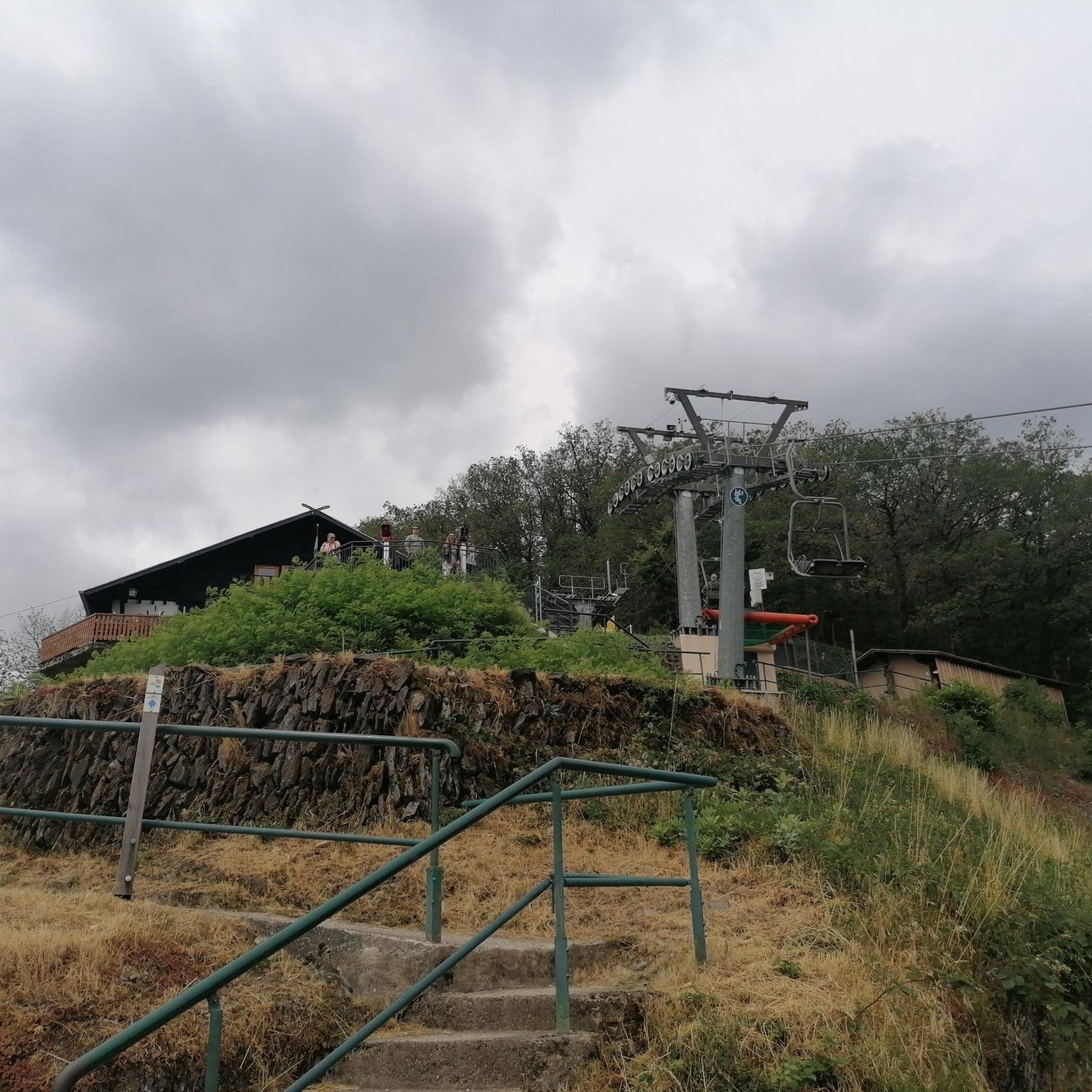
Hiking around Rostherne Mere
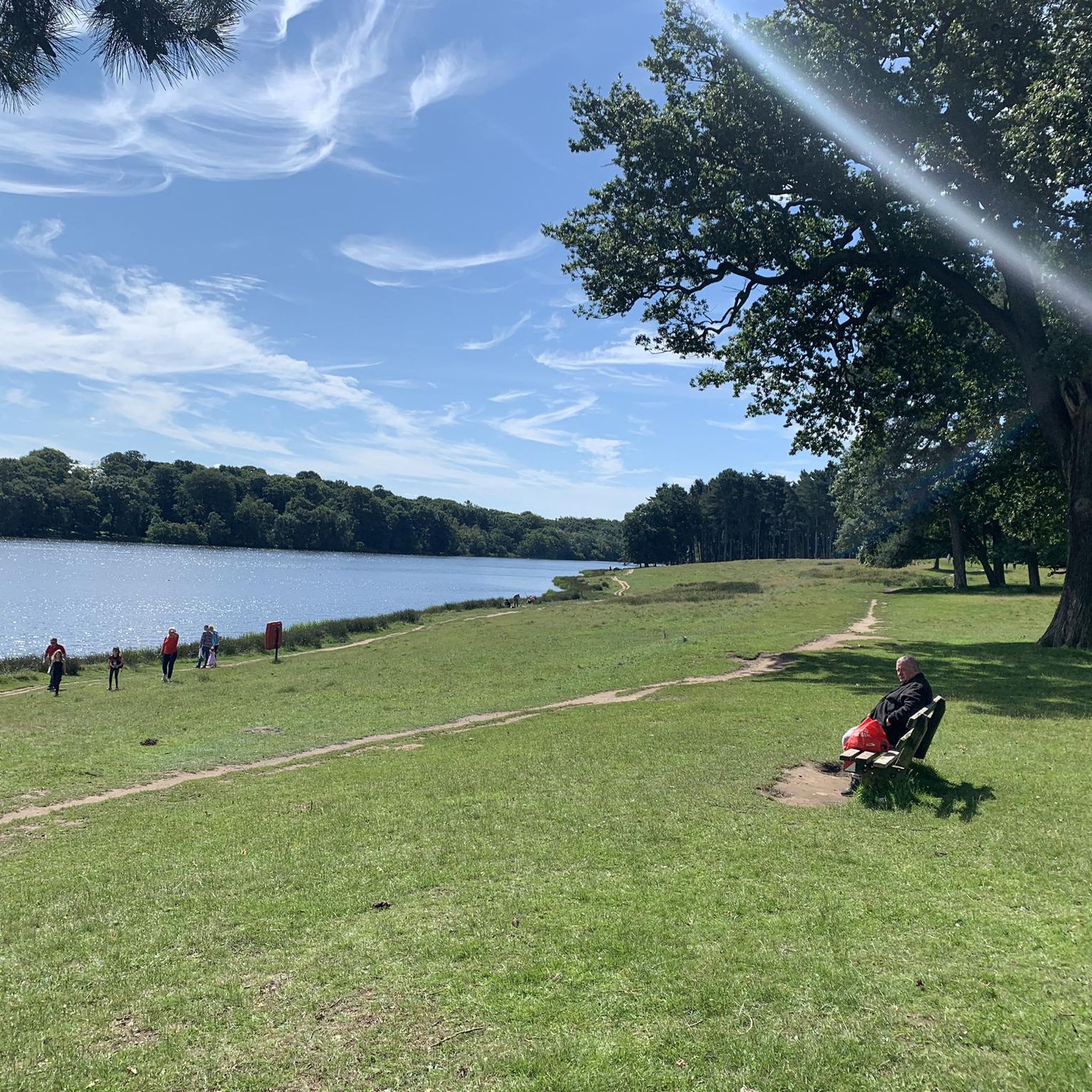
Hiking around Tatton Mere
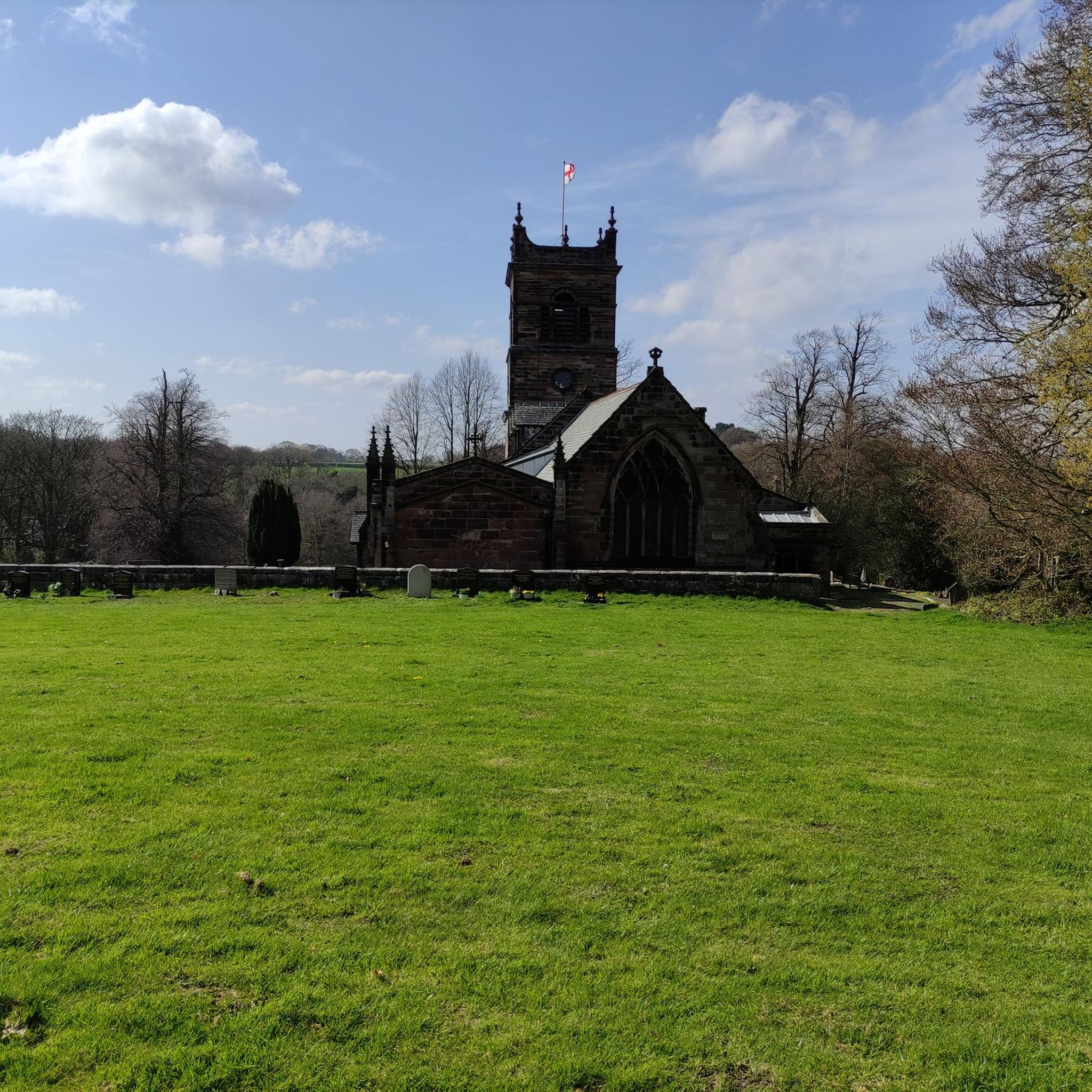
Hiking in Rostherne Mere National Nature Reserve
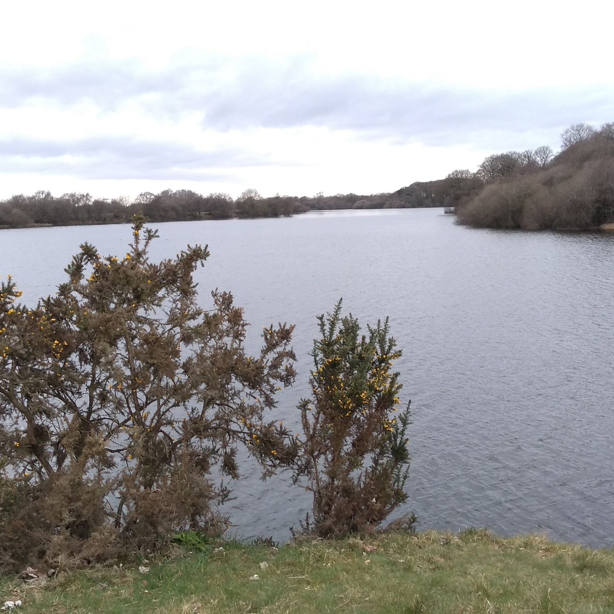
Hiking around Bosley Reservoir

Hiking around Tabley Mere
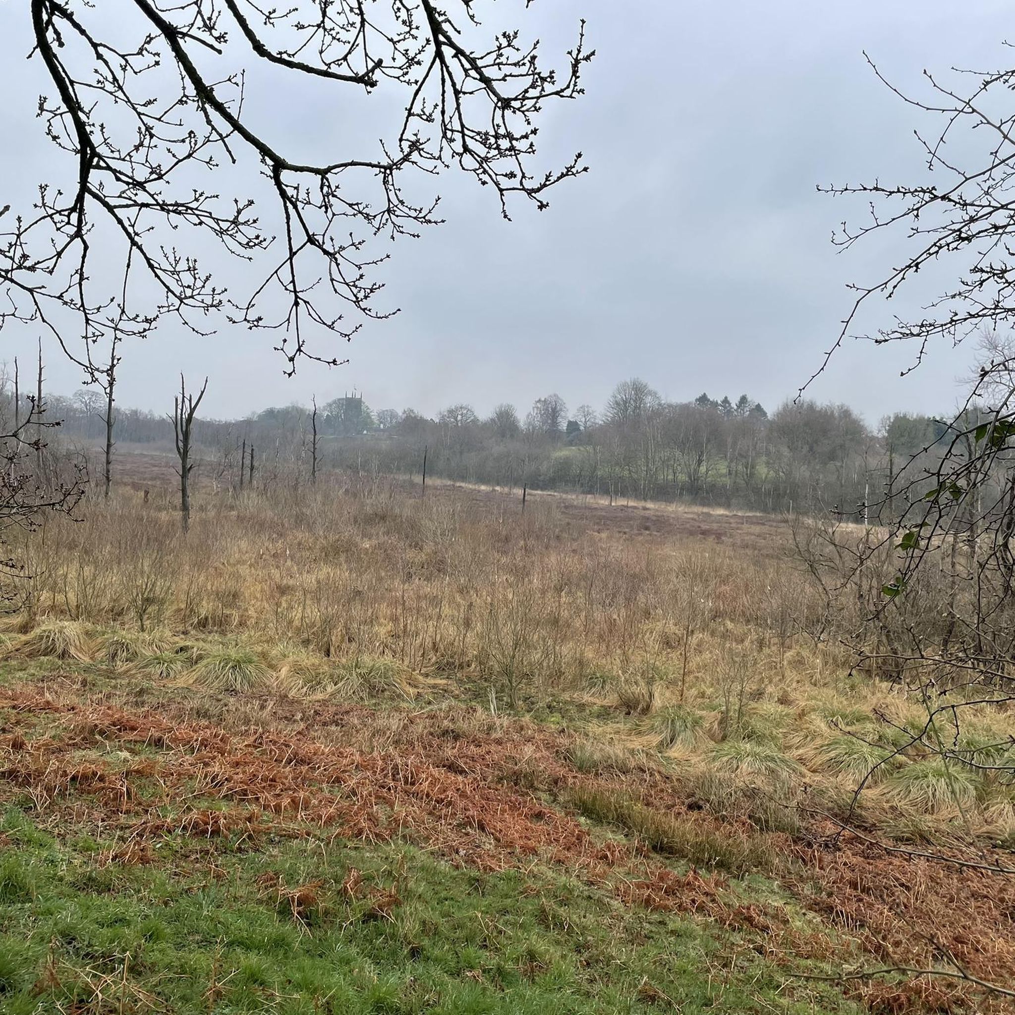
Hiking in Wybunbury Moss National Nature Reserve
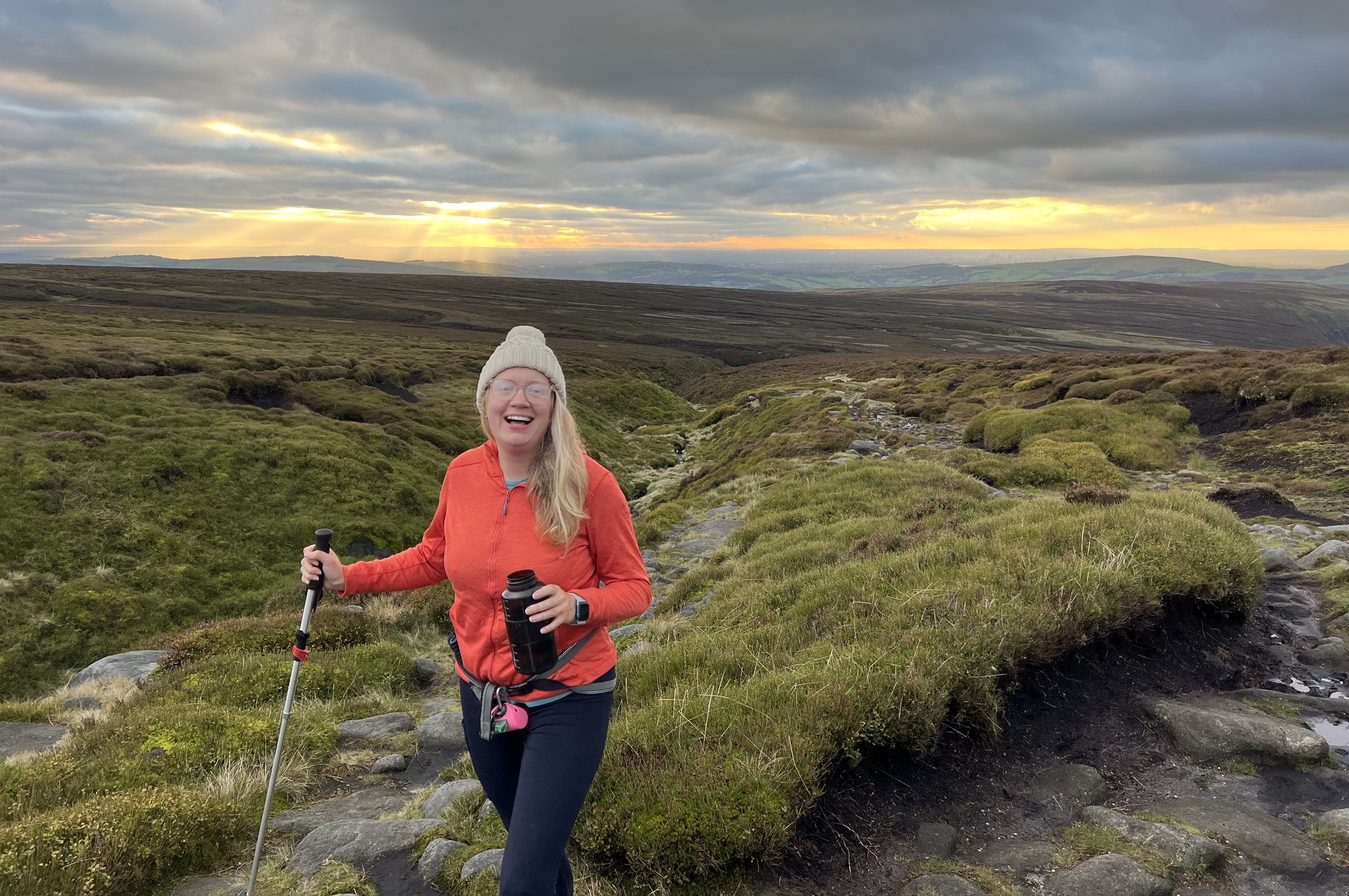
Peak District National Park – A Walk in the Parks
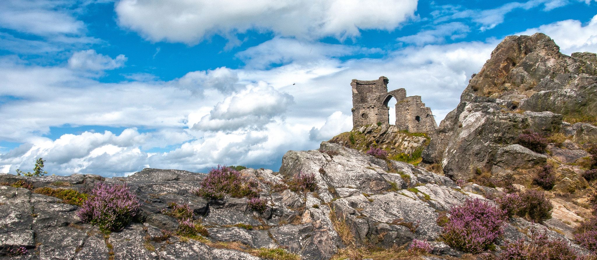
Staffordshire Way — Hike gritstone, woods, heath and scarps
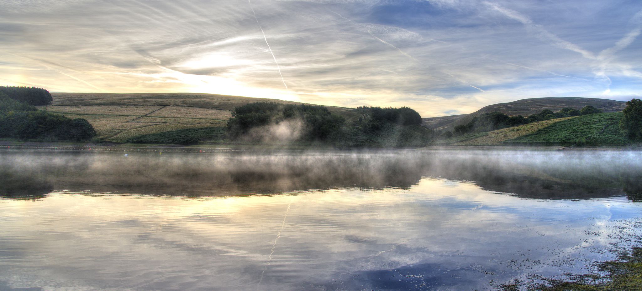
Midshires Way — An epic hike through England's rural heart
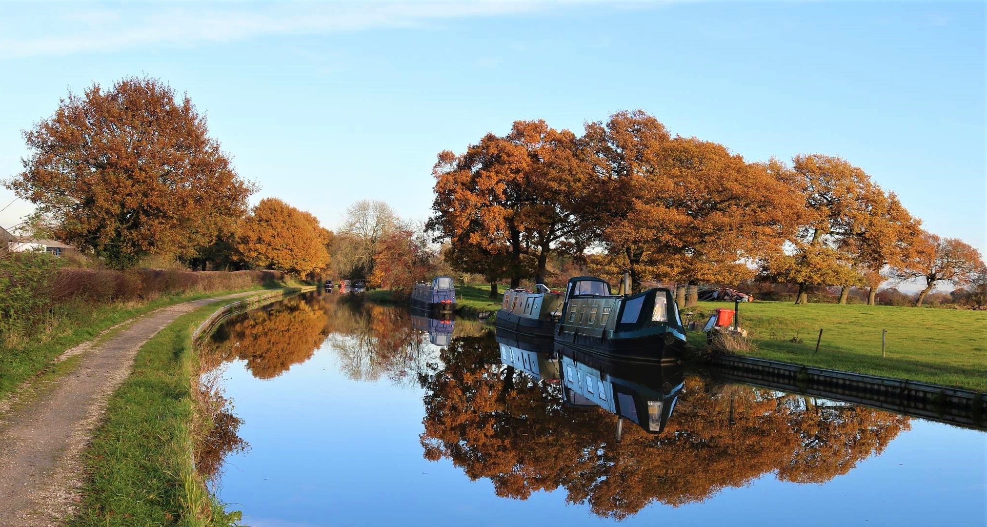
Cheshire Ring — A waterside hike along six historic canals
Other adventures in Cheshire East


Tips from the Community

Visited early evening and had the pleasure of seeing an RAF Atlas doing low level flying
0
0

Added to the collection: komoot.com/de-de/collection/3600632/-naturdenkmaeler-besondere-baeume-und-weitere-schaetze-der-natur
0
0

Old Man of Mow 337m P143 (1106ft) [List Objective: English Humps] (DoBIH Hill ID: 18980) [JNSA N/a ]
0
0

On a clear day some good views, rock formations are interesting
0
0
Good paths leading here when in top very accessible
0
0
Tough climb up, but well worth the effort with great views, I didn't get them this time but been before
0
0

At the top of Alderly Edge you will find this cafe. It is located at the start of the woodland foot paths where you can find old copper mines and tales of the wizard.
0
0

Path currently CLOSED, this section along the South Side of Ridgegate Reservoir and along the Dam wall (August 2025)
1
0
Frequently Asked Questions
Are there many circular walks in Cheshire East?
Yes, Cheshire East has a wide variety of circular walks. Many routes are designed to bring you back to your starting point, which is convenient for parking. You can explore areas like the wooded escarpment of Alderley Edge or the vast parklands of Lyme Park and Tatton Park on loop trails.
What are some good family-friendly walks in the area?
For an easy walk that's great for families, the Macclesfield Forest loop is an excellent choice. It's a relatively short trail of about 3.7 miles (6 km) through beautiful woodland with well-maintained paths, making it suitable for most abilities.
Can I take my dog on the hiking trails?
Many trails in Cheshire East are suitable for dog walking. Places like Tegg's Nose Country Park and Macclesfield Forest are popular with dog owners. However, always be mindful of local signage, especially concerning livestock in fields and wildlife during nesting seasons. It's best to keep dogs on a lead in sensitive areas.
Where can I find walks with waterfalls or scenic water features?
A highlight for many hikers is Three Shires Head, a scenic spot with charming packhorse bridges and waterfalls where Cheshire, Derbyshire, and Staffordshire meet. It's a popular destination for those looking for picturesque waterside scenery.
What are the most challenging hikes in Cheshire East?
For experienced hikers seeking a challenge, the Gritstone Trail is a 35-mile long-distance path offering panoramic views. For a shorter but demanding day hike, the Mow Cop loop involves a steep climb to its famous folly and provides a good workout with rewarding views.
What is the terrain like in Cheshire East?
The terrain is quite varied. The eastern part of the region lies within the Peak District, featuring rugged moorland, rocky ridges, and higher elevations like Shining Tor. In contrast, the Cheshire Plain to the west offers gentler, more pastoral landscapes with flatter paths, woodlands, and canal towpaths.
Are there any accessible, stile-free walking routes?
Yes, there are accessible routes available. Many of the canal towpaths, such as along the Macclesfield Canal, offer flat, easy-going surfaces. Parks like Tatton Park also have paved paths suitable for wheelchairs and pushchairs. For specific stile-free route leaflets, you can check the Cheshire East council website.
What do other hikers enjoy most about Cheshire East?
The region is highly rated by the komoot community, with an average score of 4.6 stars. Hikers often praise the diversity of the landscape, from the dramatic views in the Peak District to the peaceful walks through Macclesfield Forest and along the Sandstone Trail.
Are there any walks that are good for spotting wildlife?
Tatton Park is an excellent choice for wildlife enthusiasts. Its 1,000 acres of parkland are home to herds of red and fallow deer. The Tatton Park loop takes you around the estate, offering plenty of opportunities for wildlife spotting, especially near the meres.
How many hiking trails are there in Cheshire East?
There are over 1,700 hiking routes to discover in Cheshire East on komoot. This includes over 900 easy walks perfect for a casual day out and around 770 more moderate trails for those looking for a bit more of a challenge.
Are there any walks through historic estates?
Yes, several walks explore the region's grand historic estates. The Sponds Hill & Lyme Park loop takes you through the magnificent 1,400-acre deer park of this National Trust property, offering views of the iconic Cage.
What are some popular places for hiking in Cheshire East?
Several spots are highly regarded by local hikers for their excellent trails and scenery.
Tegg's Nose Country Park is a local favourite, offering fantastic views from its summit and varied paths through meadow and woodland. Macclesfield Forest is another top choice, known for its extensive network of trails around serene reservoirs. For a walk with a unique landmark, Three Shires Head is a must-visit, famous for its picturesque packhorse bridge and waterfalls.
Most popular routes in Cheshire East
Most popular attractions in Cheshire East

Get inspired with the komoot mobile app


Didn’t find what you were looking for?
Check out more Hikes throughout Cheshire East below and find the perfect route in your destination.
Explore more
Browse the best Hikes in other regions.
