The best road cycling routes around Comarca de Los Montes
4.6
(43)
2,106
riders
32
rides
Road cycling routes around Comarca de Los Montes traverse a varied topography, encompassing expansive hills dominated by traditional agriculture and mountains with natural vegetation. The region features a mix of low and high hills, often covered with olive groves, providing a dynamic cycling environment. Elevated areas like Sierra Arana offer challenging climbs and scenic descents, while irrigated plains along rivers like the Guadahortuna and Cubillas provide flatter sections. This diverse landscape offers a range of terrain for road cyclists.
Best road cycling routes around Comarca de Los Montes
- The most popular road cycling route is Colomera and Iznalloz — circular Sierra del Pozuelo, a 39.7 miles (63.8 km) trail that takes 2 hours 58 minutes to complete. This moderate route offers views of the Sierra del Pozuelo.
- Another top favourite among local road cyclists is Surrounding the Rio Guadahortuna — circular via Alamedilla and Dehesas de Guadix, a difficult 49.6 miles (79.9 km) path. This route follows the Rio Guadahortuna through agricultural plains and small villages.
- Local road cyclists also love the Sierra Mágina Park Loop, a 61.3 miles (98.7 km) trail leading through mountainous terrain, often completed in about 4 hours 55 minutes.
- Road cycling around Comarca de Los Montes is defined by agricultural plains, rolling hills, and the mountainous Sierra Arana. The network offers options for different ability levels, from moderate rides to more challenging climbs.
- The routes in Comarca de Los Montes are highly rated by the komoot community with an average score of 4.9 stars from over 20 reviews. More than 800 road cyclists have used komoot to explore Comarca de Los Montes's varied terrain.
Last updated: May 10, 2026
5.0
(1)
83
riders
63.8km
02:58
830m
830m
Moderate road ride. Good fitness required. Mostly well-paved surfaces and easy to ride.
5.0
(1)
8
riders
Hard road ride. Very good fitness required. Mostly well-paved surfaces and easy to ride.

Sign up for free
5
riders
98.7km
04:55
1,580m
1,580m
Hard road ride. Very good fitness required. Mostly well-paved surfaces and easy to ride.
4
riders
55.5km
02:36
570m
570m
Moderate road ride. Good fitness required. Mostly well-paved surfaces and easy to ride.
4.8
(4)
275
riders
118km
05:25
1,360m
1,360m
Hard road ride. Very good fitness required. Mostly well-paved surfaces and easy to ride.
4.8
(18)
269
riders
60.4km
02:33
470m
470m
Moderate road ride. Good fitness required. Mostly well-paved surfaces and easy to ride.
35
riders
178km
08:16
2,170m
2,170m
Hard road ride. Very good fitness required. Mostly well-paved surfaces and easy to ride.
23
riders
90.5km
04:14
1,090m
1,090m
Hard road ride. Very good fitness required. Mostly well-paved surfaces and easy to ride.
21
riders
67.0km
03:13
660m
660m
Moderate road ride. Good fitness required. Some segments of this route may be unpaved and difficult to ride.
14
riders
64.5km
03:20
1,160m
1,160m
Hard road ride. Very good fitness required. Mostly well-paved surfaces and easy to ride.
Get access to more routes and recommendations from other explorers.
Sign up for free
Already have an account?
Our route recommendations are based on thousands of hikes, rides, and runs completed by other people on komoot.
Start today with a free account
Your next adventure awaits.
Login or Signup
Popular around Comarca de Los Montes
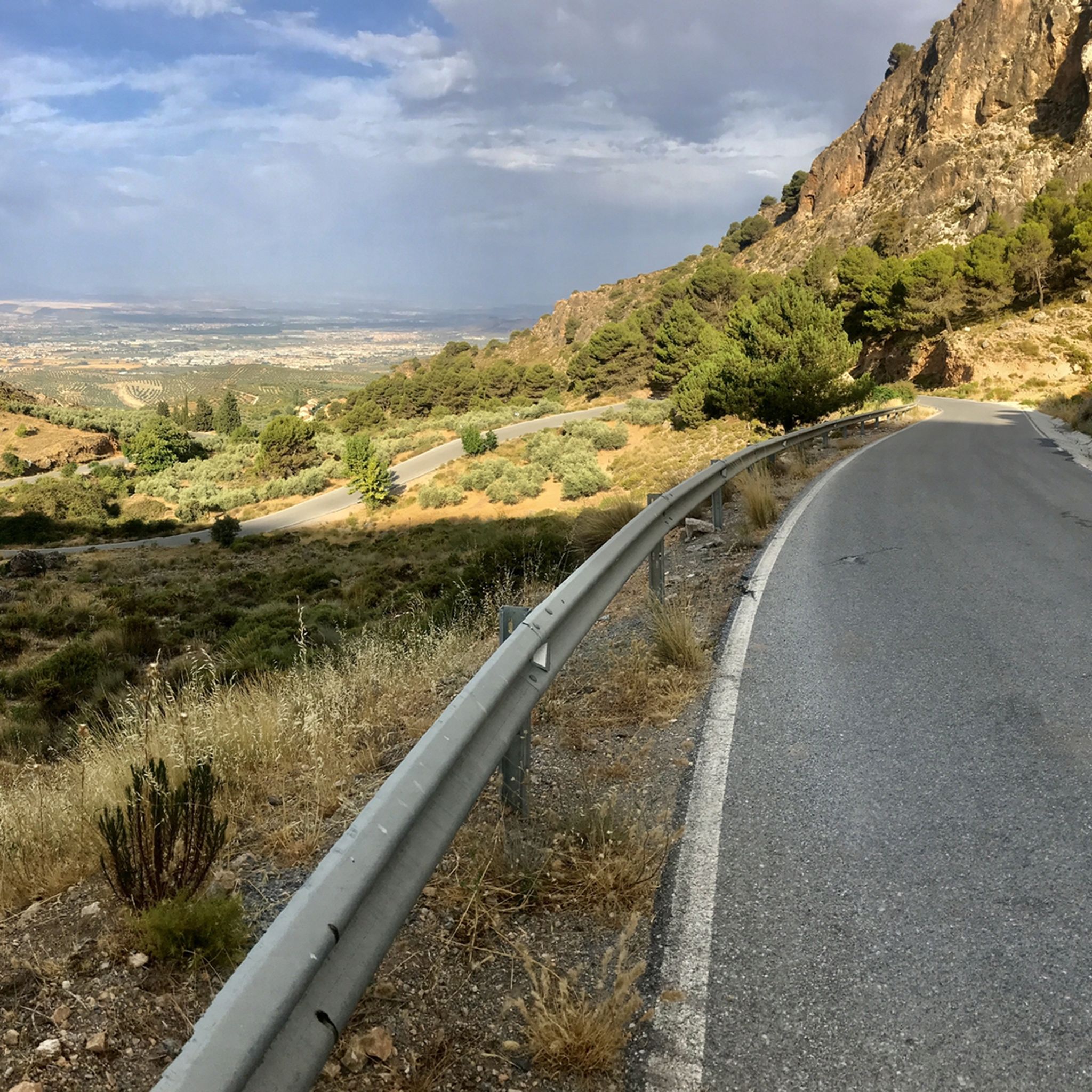
Road Cycling Routes in Sierra De Arana
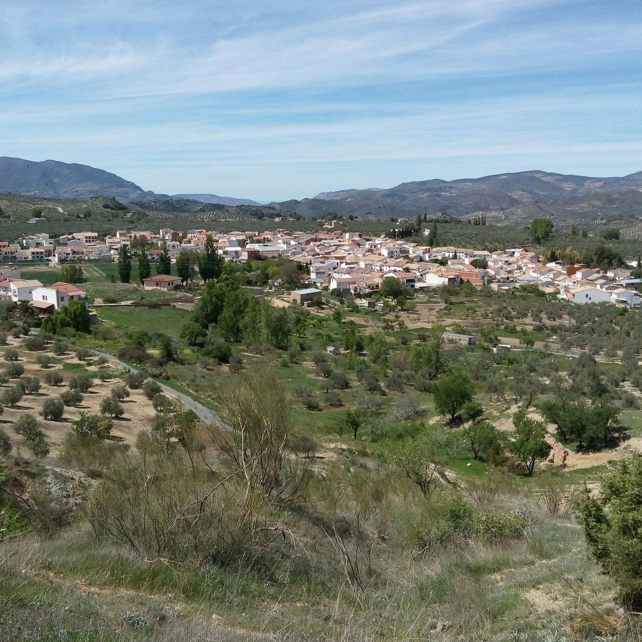
Road Cycling Routes around Montejícar
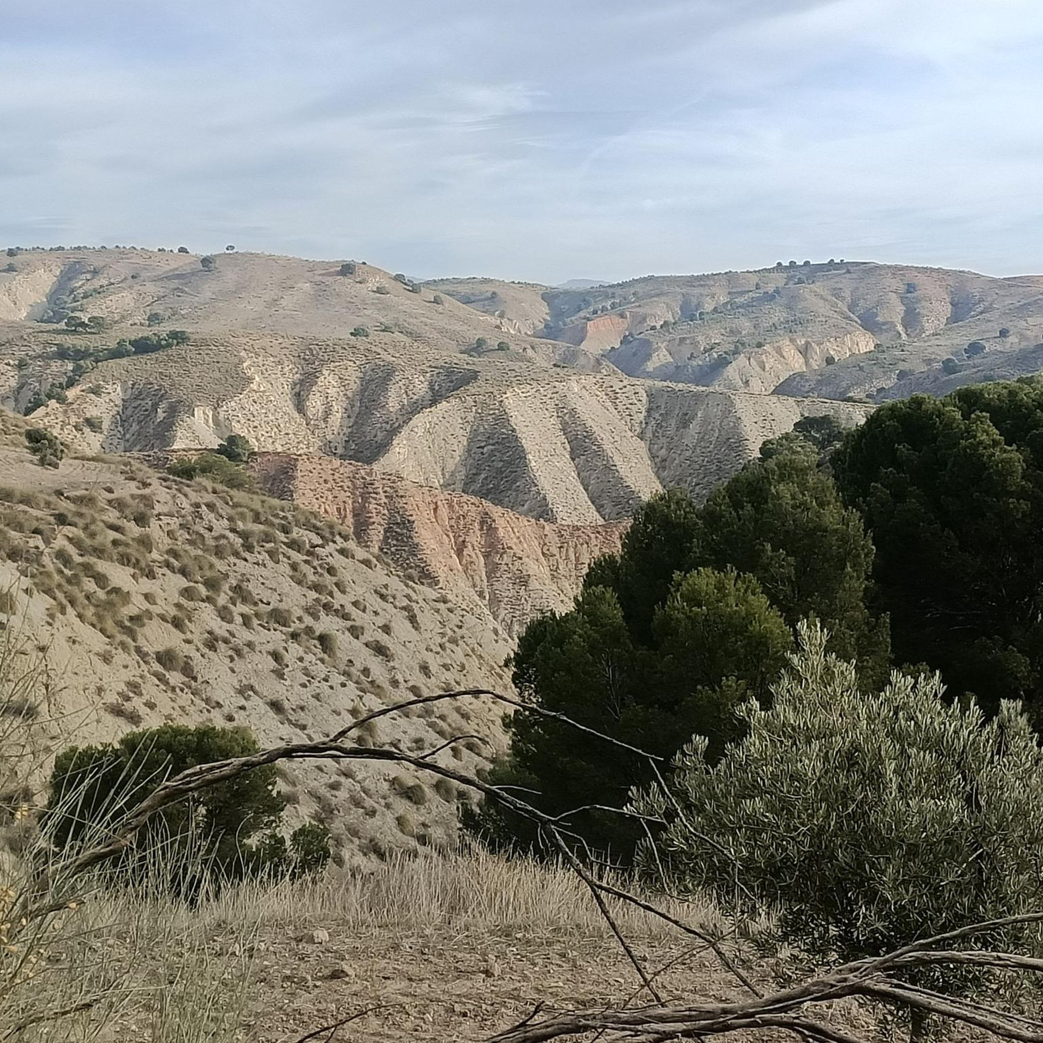
Road Cycling Routes around Alamedilla
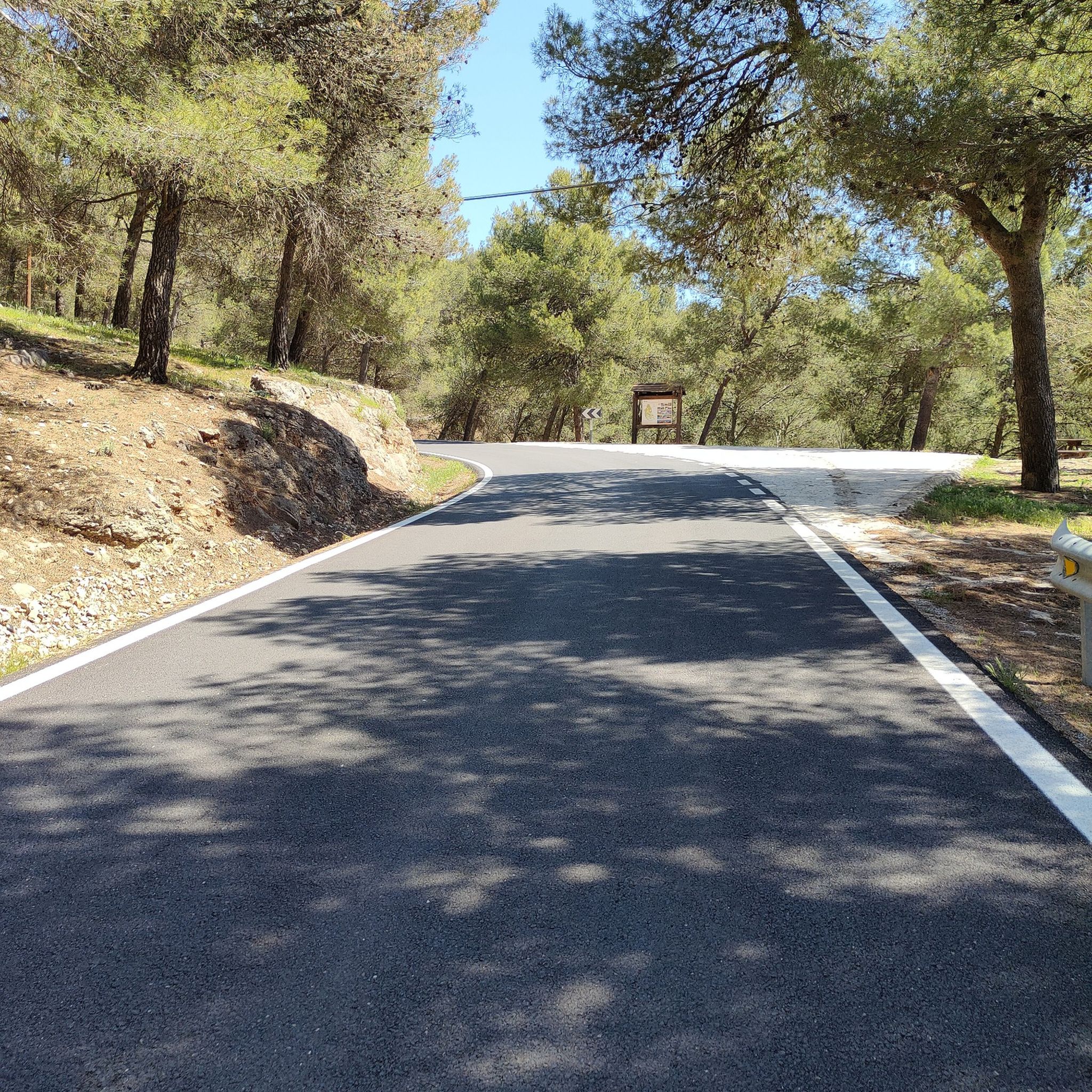
Road Cycling Routes in Sierras Del Campanario Y Las Cabras
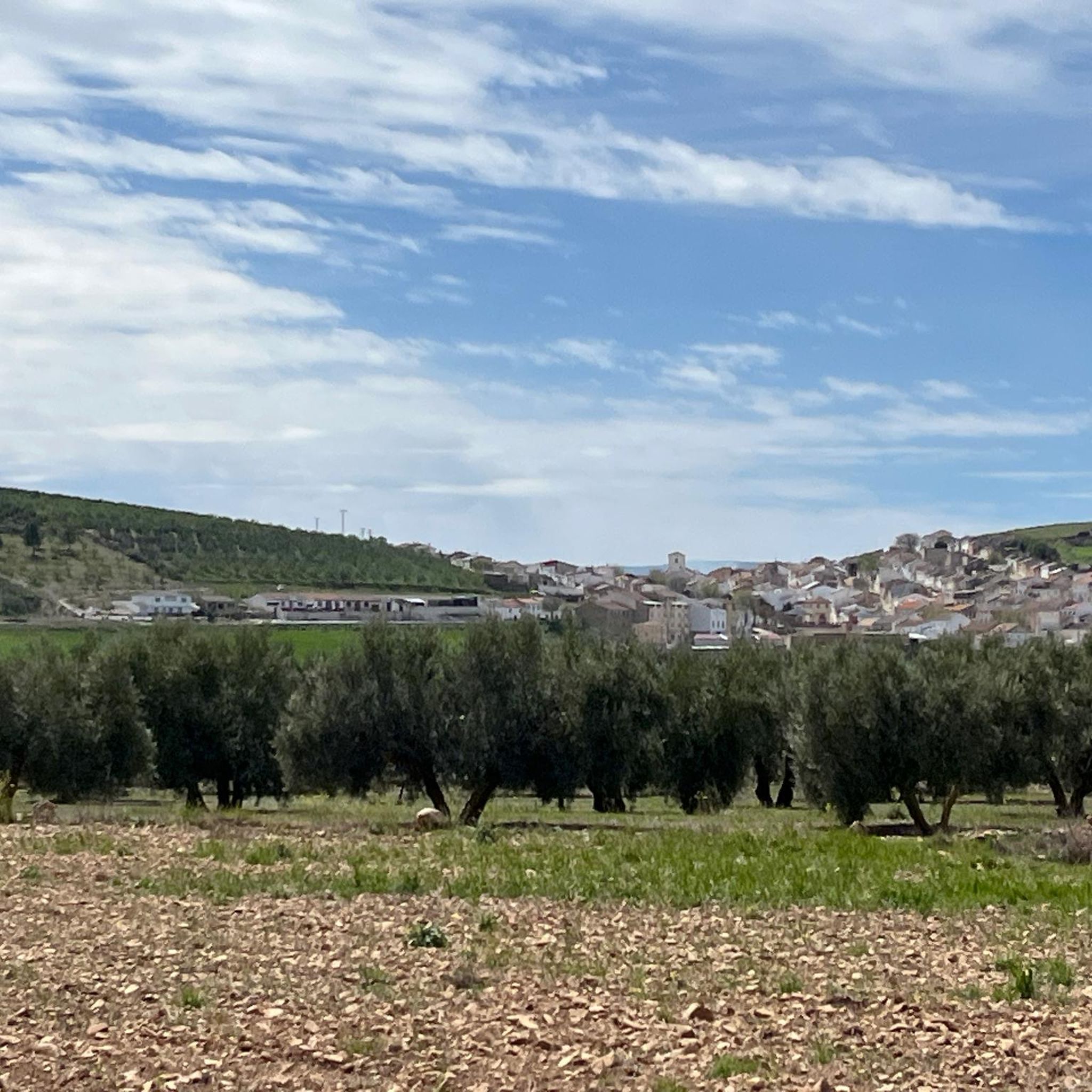
Road Cycling Routes around Guadahortuna
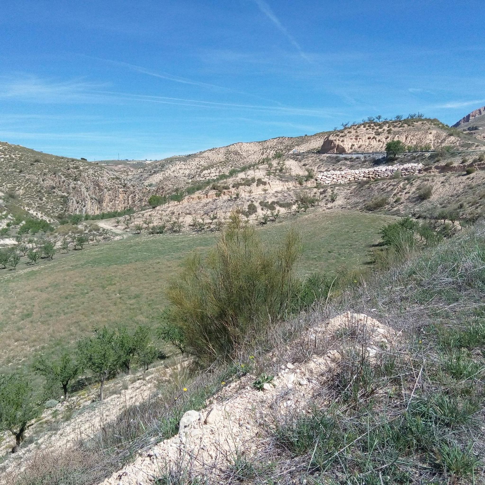
Road Cycling Routes around Pedro Martínez
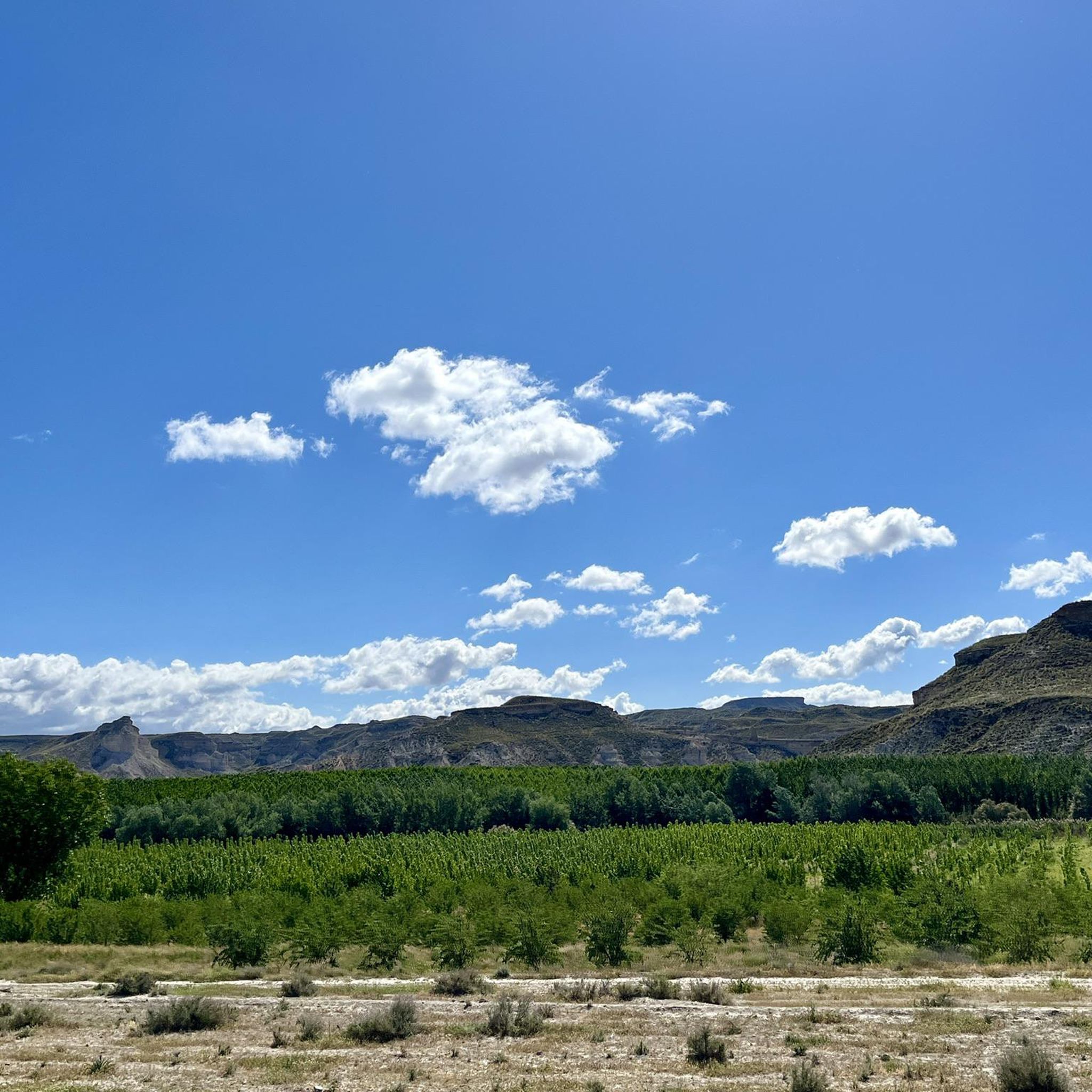
Road Cycling Routes around Morelábor
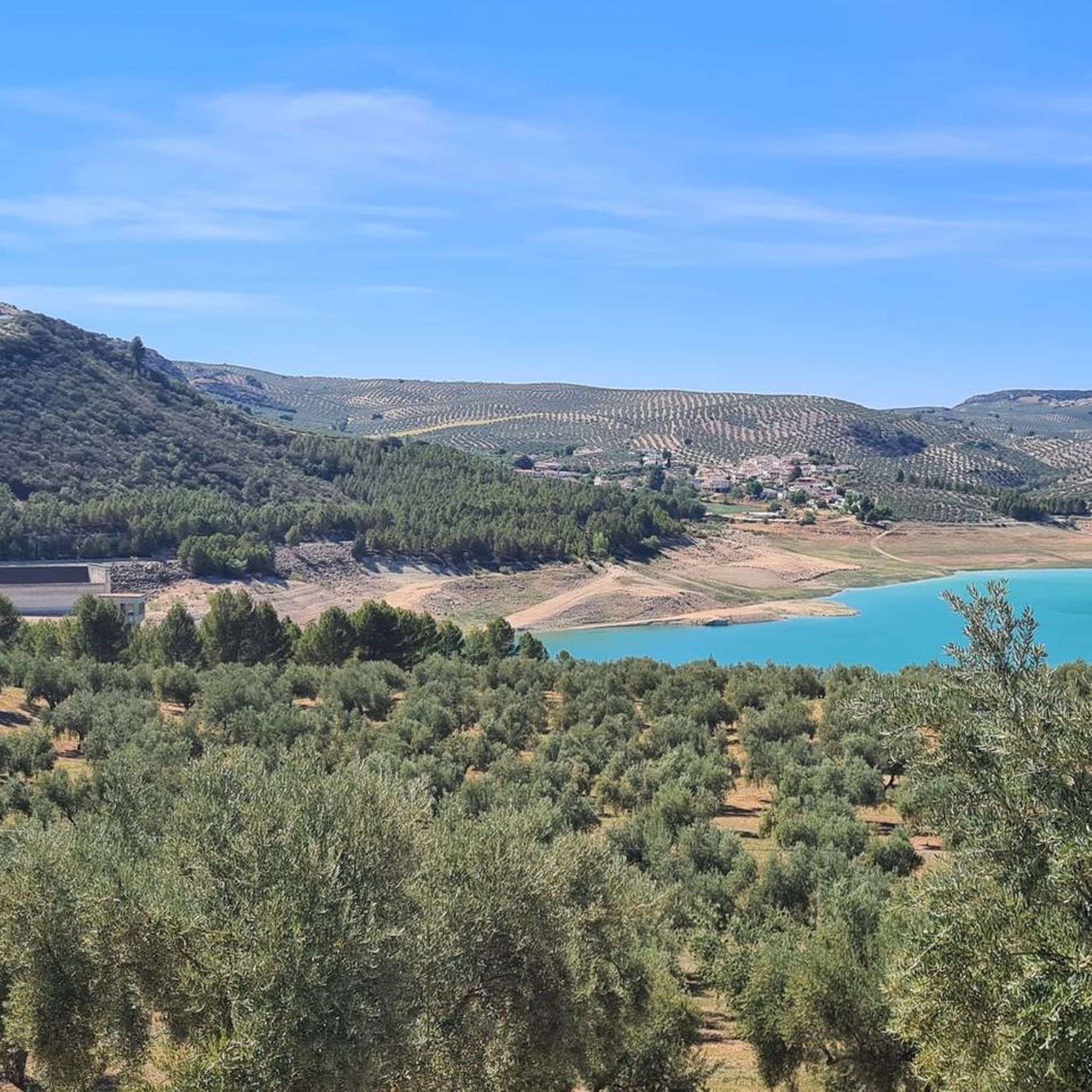
Road Cycling Routes around Colomera
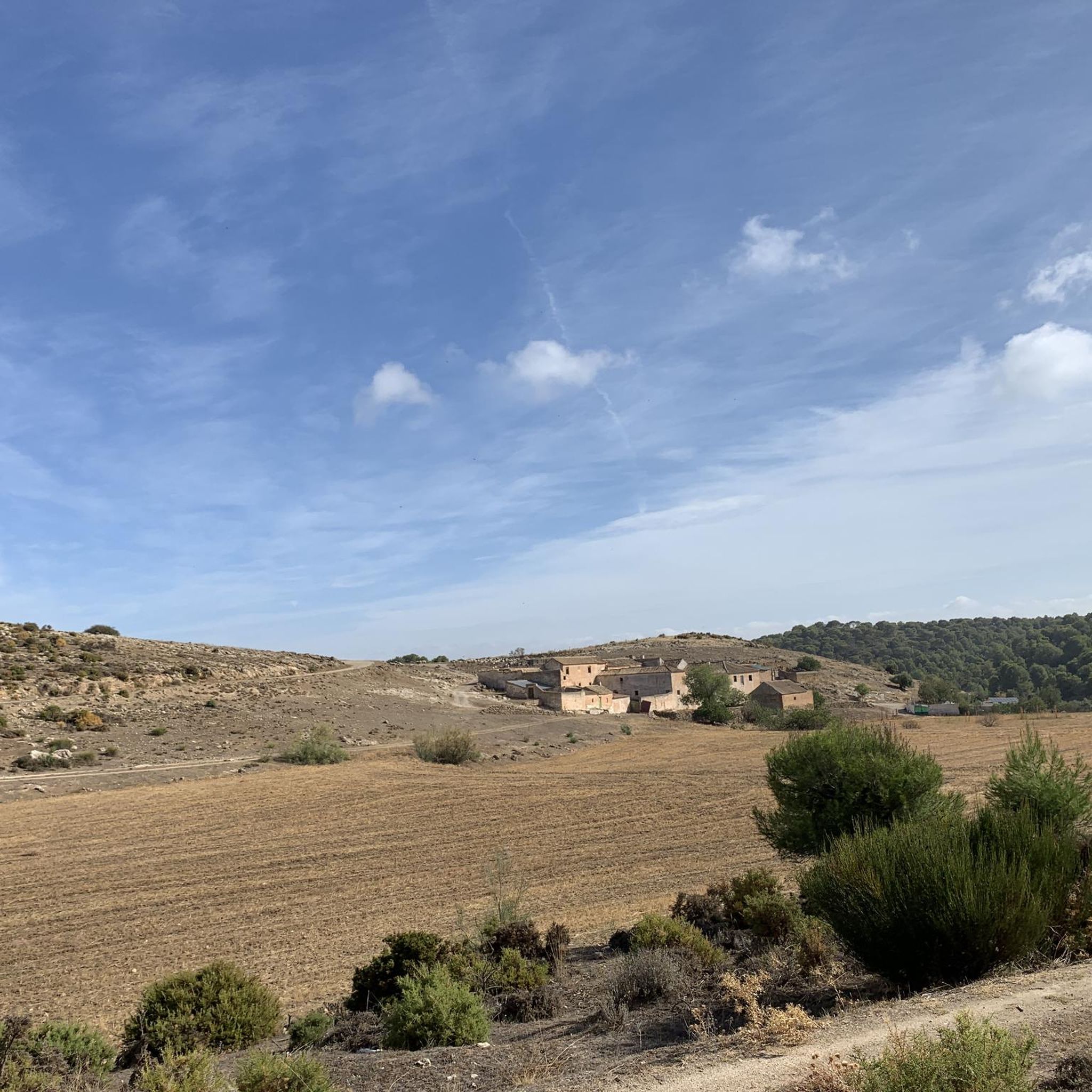
Road Cycling Routes around Píñar
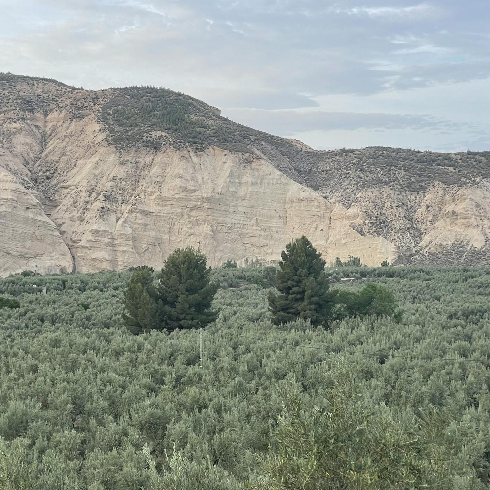
Road Cycling Routes around Torre-Cardela
Tips from the Community


We are at the crossroads between the towns of Olivares, Moclín and Colomera
15
0
Very close to the Cubillas reservoir, we find these facilities dedicated to model airplanes, where hundreds of fans practice this sport with their miniatures.
15
0

The Pantano de Quéntar is a reservoir in Quéntar, Granada, built between 1971 and 1975 and officially inaugurated on 11 May 1976. It is located at the confluence of the Aguas Blancas and Padules rivers and has a capacity of 14 million cubic metres. The reservoir plays an important role in the water supply of the city of Granada and the irrigation of the surrounding agricultural lands.
9
0

The Cubillas Reservoir extends across the municipalities of Albolote and Atarfe. It was built in 1956 and is primarily used for water supply and agricultural irrigation. The reservoir has an area of 194 hectares and a maximum depth of approximately 20 meters. The reservoir's main tributary is the Cubillas River. The reservoir's surroundings are characterized by pine forests, oak trees, and Mediterranean vegetation, and the lake is an important habitat for many fish species. The Cubillas Reservoir also serves as a resting place for various bird species, including the Great Cormorant and the Dunnock. The reservoir offers numerous recreational opportunities, including sailing, windsurfing, canoeing, jet skiing, and water skiing. There is a large picnic area on the shore and a restaurant overlooking the lake.
2
1

a spectacular area with very good roads
0
0
The Embalse de Quéntar, is also known as the Quéntar Reservoir. The reservoir is surrounded by a picturesque landscape and offers a variety of recreational opportunities. Visitors can enjoy activities such as hiking, fishing, and even water sports. The reservoir was built in the 1970s and plays an important role in the water supply of Granada and the surrounding agricultural areas.
1
0

Frequently Asked Questions
How many road cycling routes are available in Comarca de Los Montes?
There are over 30 road cycling routes available in Comarca de Los Montes, catering to various skill levels. You'll find a mix of moderate and difficult trails to explore.
What kind of terrain can I expect on road cycling routes in Comarca de Los Montes?
The region offers a diverse topography, from expansive hills dominated by traditional agriculture and olive groves to mountainous areas with natural vegetation. You'll encounter both low and high hills, providing a dynamic cycling environment with rolling terrain and more demanding ascents, particularly in areas like Sierra Arana.
Are there challenging climbs for experienced road cyclists?
Yes, experienced road cyclists will find challenging climbs, especially in the mountainous areas like Sierra Arana, which boasts an average altitude of 1,200 meters. Routes such as the Sierra Mágina Park Loop feature significant elevation gains, offering rewarding ascents and scenic descents.
What natural features or landmarks can I see along the road cycling routes?
Cyclists can enjoy a variety of natural features and historical landmarks. You might pass by the Colomera Reservoir, the historic Roman Dam of Barcinas, or the picturesque Puente del Hacho. The region is also known for its olive groves, sunflower fields near Domingo Pérez in summer, and almond fields near Deifontes.
When is the best time of year for road cycling in Comarca de Los Montes?
The Comarca de Los Montes is appealing for road cycling throughout much of the year. Spring and autumn generally offer the most pleasant temperatures. In summer, you can enjoy the vibrant sunflower fields, but be prepared for warmer conditions, especially on longer routes. The region's natural environment often features good quality roads with less traffic, making it enjoyable across seasons.
Are there any easy or family-friendly road cycling routes?
While many routes are moderate to difficult, there is at least one easy road cycling route available. The varied terrain means you can find flatter sections, particularly along river plains like the Guadahortuna and Cubillas, which might be suitable for less strenuous rides. Always check the difficulty grade of a route before setting out.
Is parking available for cyclists in Comarca de Los Montes?
While specific parking areas for cyclists are not always signposted, many villages and towns within Comarca de Los Montes offer general public parking. It's advisable to check parking options in the starting village of your chosen route, such as Iznalloz or Píñar, which are common starting points for tours.
What do other road cyclists enjoy most about road cycling in Comarca de Los Montes?
The area is highly rated by the komoot community, with an average score of 4.9 stars from over 20 reviews. Reviewers often praise the diverse landscapes, from agricultural plains to challenging mountain passes, and the tranquil roads that allow for an immersive cycling experience.
Can I find circular road cycling routes in the region?
Yes, many of the road cycling routes in Comarca de Los Montes are circular, allowing you to start and end in the same location. Examples include Colomera and Iznalloz — circular Sierra del Pozuelo and Surrounding the Rio Guadahortuna — circular via Alamedilla and Dehesas de Guadix.
Are there any routes that pass through picturesque agricultural areas?
Absolutely. The landscape is characterized by expansive hills covered with olive groves and other woody crops. Routes like Píñar and Iznalloz Almond Fields Loop offer beautiful views of these agricultural vistas, including almond fields and, in summer, vibrant sunflower fields.
Are there any routes that include water bodies or reservoirs?
Yes, some routes incorporate scenic water bodies. For instance, the Roman Dam of Barcinas – Cubillas Reservoir loop from Iznalloz passes by the Cubillas Reservoir, offering pleasant views and a change of scenery.
Do I need any special permits for road cycling in Comarca de Los Montes?
Generally, no special permits are required for road cycling on public roads and established routes in Comarca de Los Montes. However, always respect local regulations and private property signs, especially when exploring less-traveled paths.
Most popular routes around Comarca de Los Montes
Most popular attractions around Comarca de Los Montes

Get inspired with the komoot mobile app


Didn’t find what you were looking for?
Check out more Road cycling routes throughout Comarca de Los Montes below and find the perfect route in your destination.
Explore more
Browse the best Road cycling routes in other regions.
