The best road cycling routes around La Serranía
4.4
(16)
1,616
riders
103
rides
Road cycling routes around La Serranía offer diverse terrain across mountainous regions in Spain, including La Serranía de Cuenca, La Serranía de Guadalajara, and La Serranía de Ronda. The area features a network of roads with varied elevation, from challenging climbs to exhilarating descents. Cyclists encounter mostly well-paved surfaces and benefit from low traffic, providing a peaceful cycling environment. The La Serranía cycling terrain elevation difficulty ranges from easy rides to hard routes with significant elevation gains.
Best road cycling…
Last updated: September 27, 2026
33
riders
53.5km
02:49
1,030m
1,030m
Hard road ride. Very good fitness required. Mostly well-paved surfaces and easy to ride.
1
riders
65.1km
03:45
1,380m
1,380m
Hard road ride. Very good fitness required. Mostly well-paved surfaces and easy to ride.

106
riders
79.1km
04:03
1,360m
1,360m
Hard road ride. Very good fitness required. Mostly well-paved surfaces and easy to ride.
68
riders
109km
05:45
1,760m
1,760m
Hard road ride. Very good fitness required. Some segments of this route may be unpaved and difficult to ride.
5.0
(1)
53
riders
39.4km
01:45
290m
290m
Moderate road ride. Great for any fitness level. Some segments of this route may be unpaved and difficult to ride.
50
riders
89.6km
04:19
1,120m
1,120m
Hard road ride. Very good fitness required. Some segments of this route may be unpaved and difficult to ride.
3.0
(2)
43
riders
62.3km
03:12
990m
990m
Hard road ride. Very good fitness required. Mostly well-paved surfaces and easy to ride.
42
riders
108km
05:57
2,270m
2,270m
Hard road ride. Very good fitness required. Mostly well-paved surfaces and easy to ride.
38
riders
94.8km
04:47
1,480m
1,480m
Hard road ride. Very good fitness required. Mostly well-paved surfaces and easy to ride.
43
riders
114km
05:45
1,410m
1,410m
Hard road ride. Very good fitness required. Some segments of this route may be unpaved and difficult to ride.
Get access to more routes and recommendations from other explorers.
Already have an account?
Our route recommendations are based on thousands of hikes, rides, and runs completed by other people on komoot.
Start today with a free account
Your next adventure awaits.
Popular around La Serranía
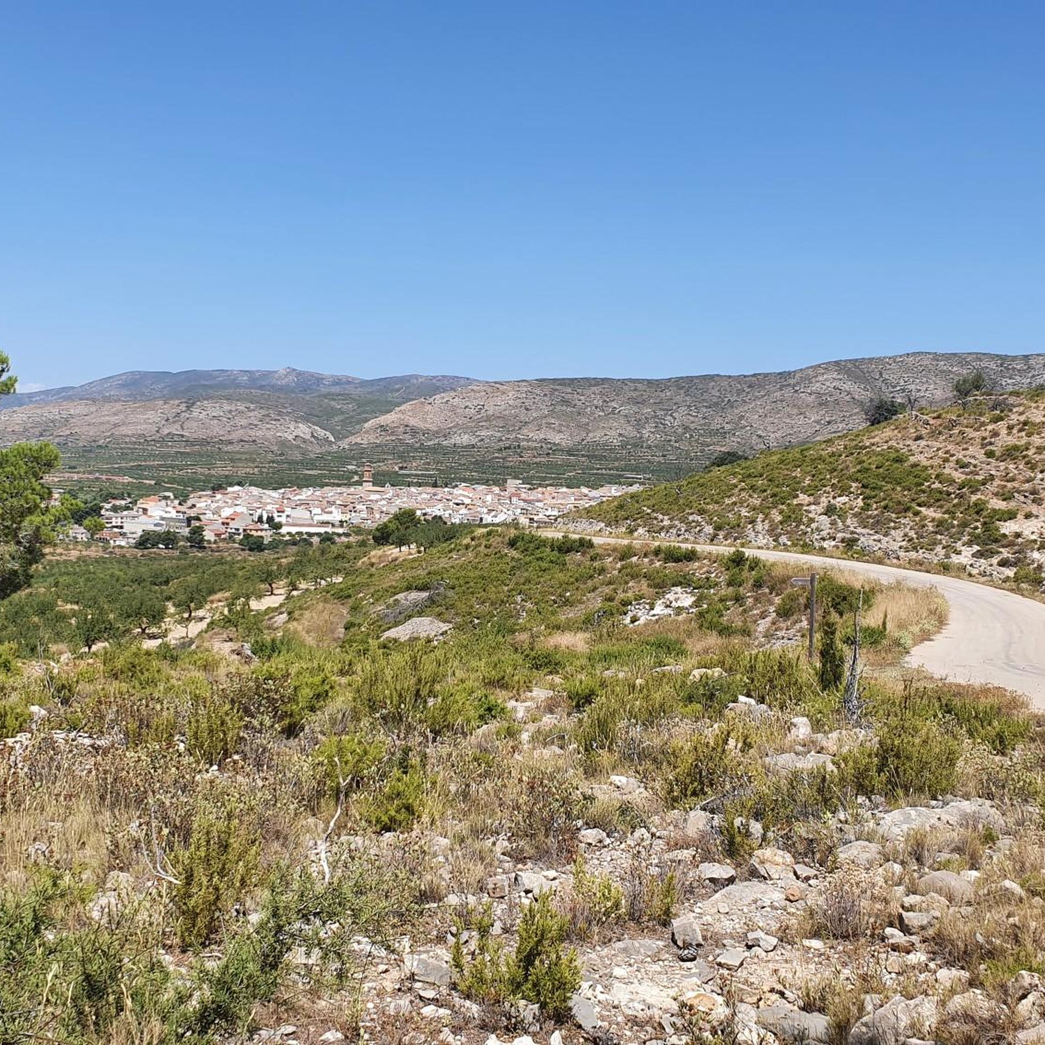
Road Cycling Routes around Alcublas
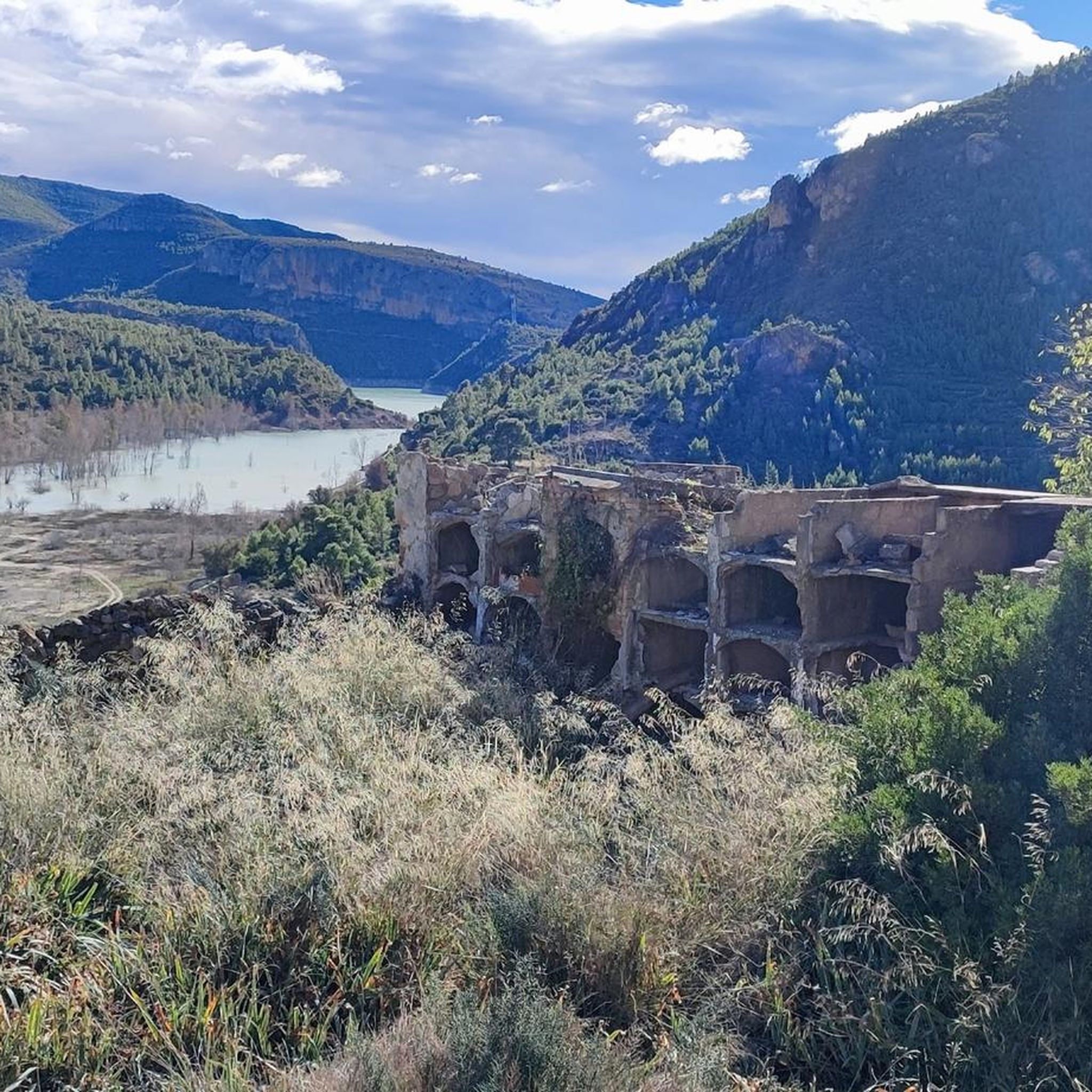
Road Cycling Routes around Domeño
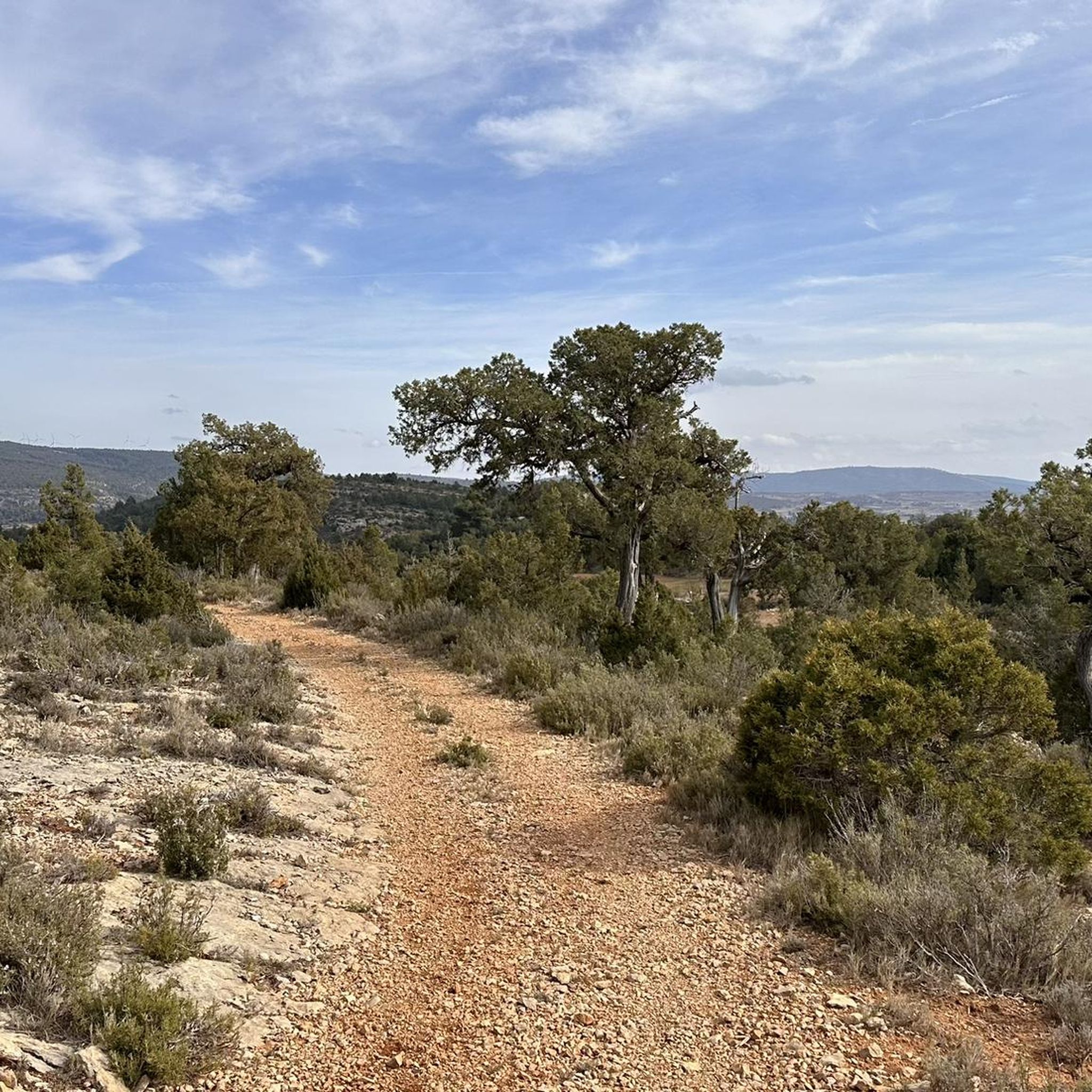
Road Cycling Routes around Alpuente
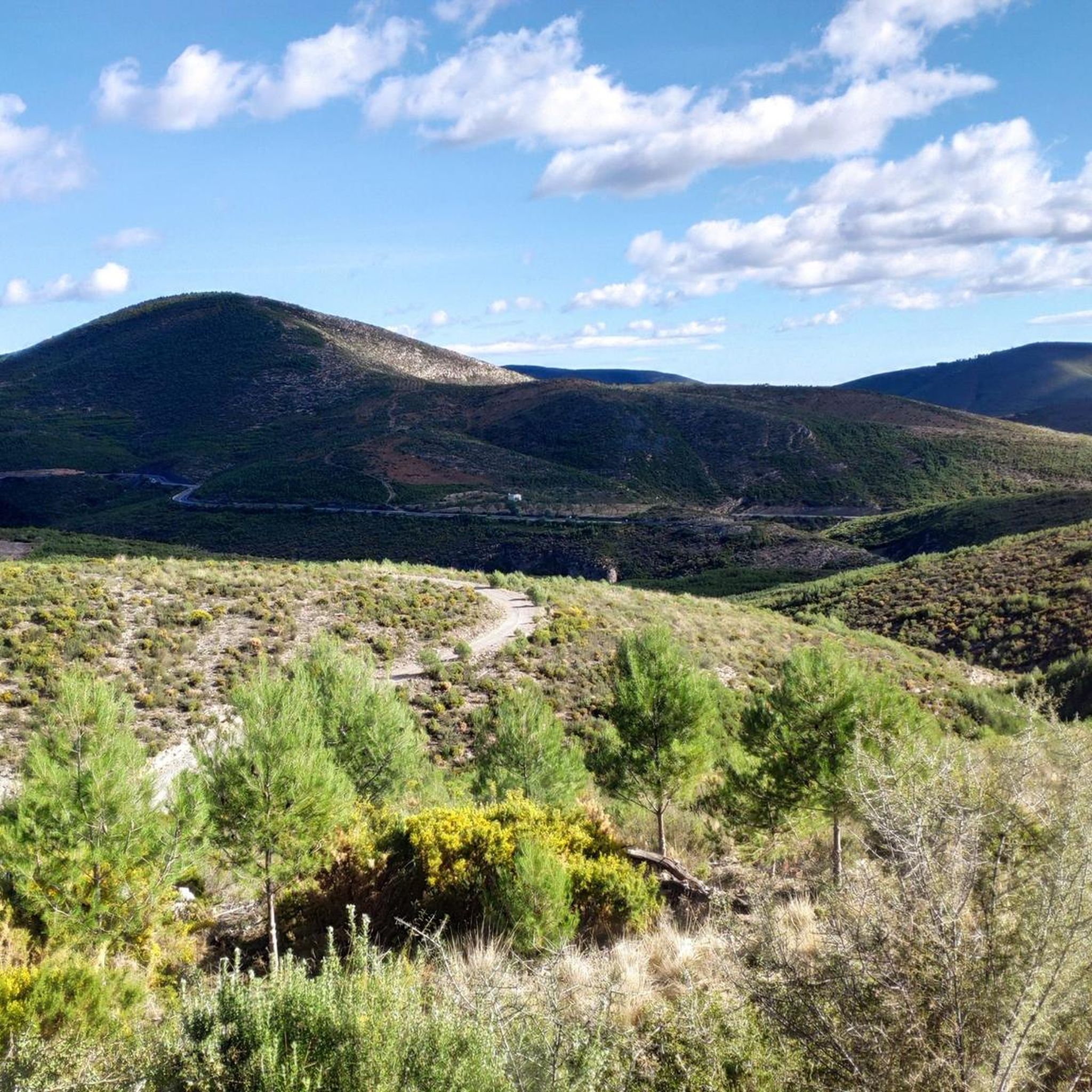
Road Cycling Routes around Andilla
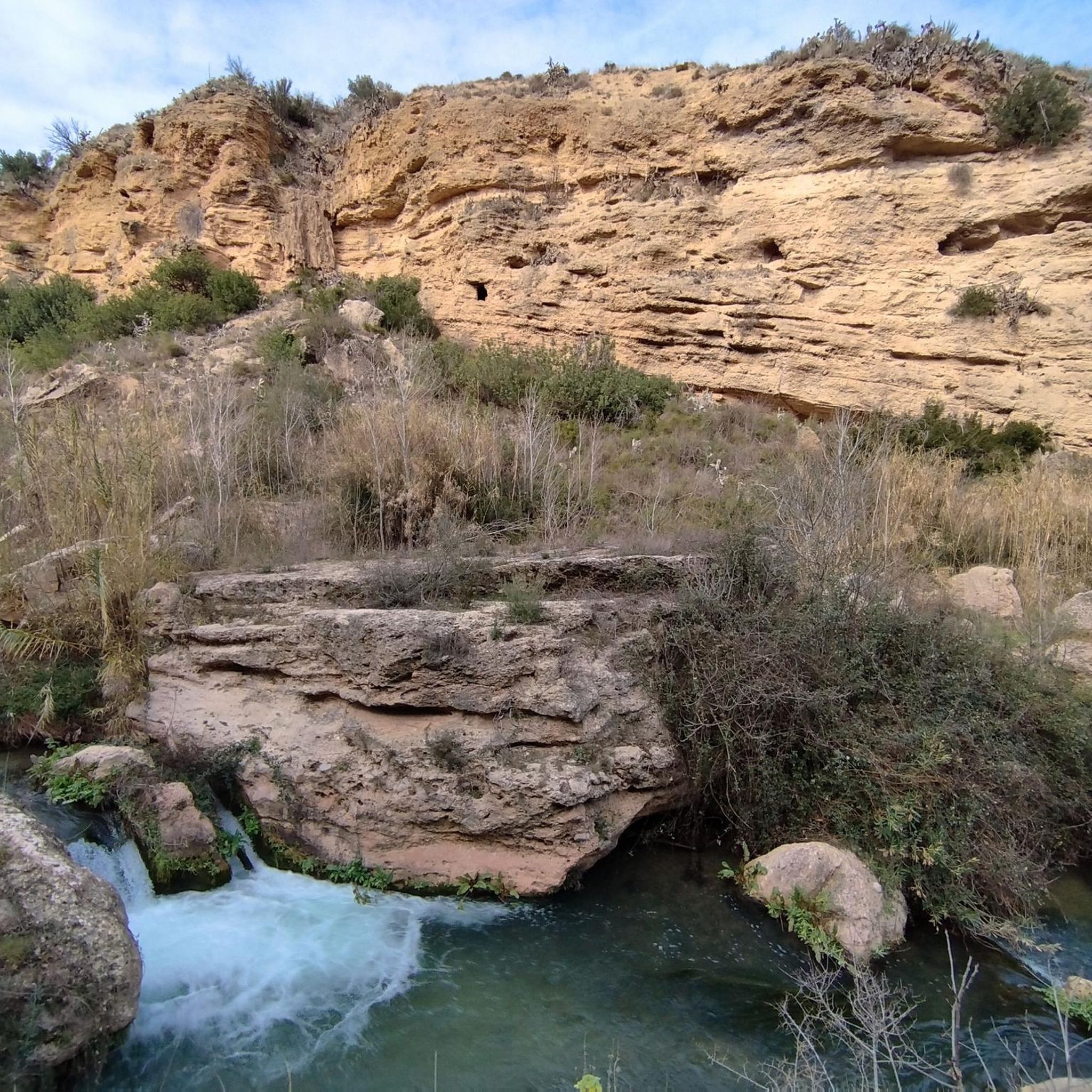
Road Cycling Routes around Chelva
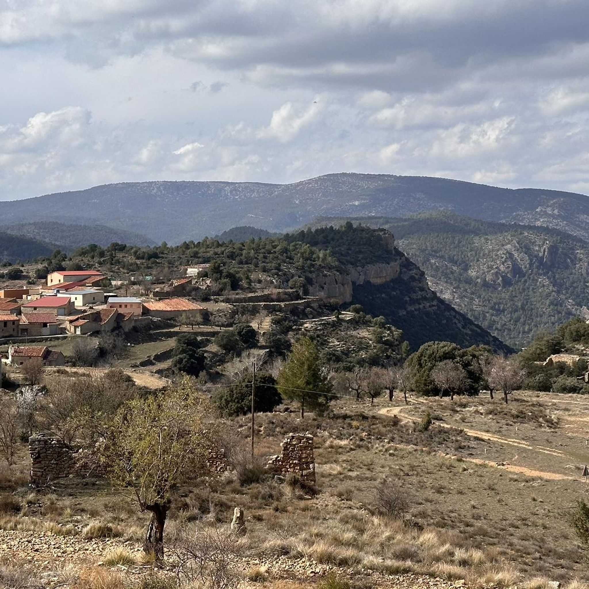
Road Cycling Routes around Aras De Los Olmos
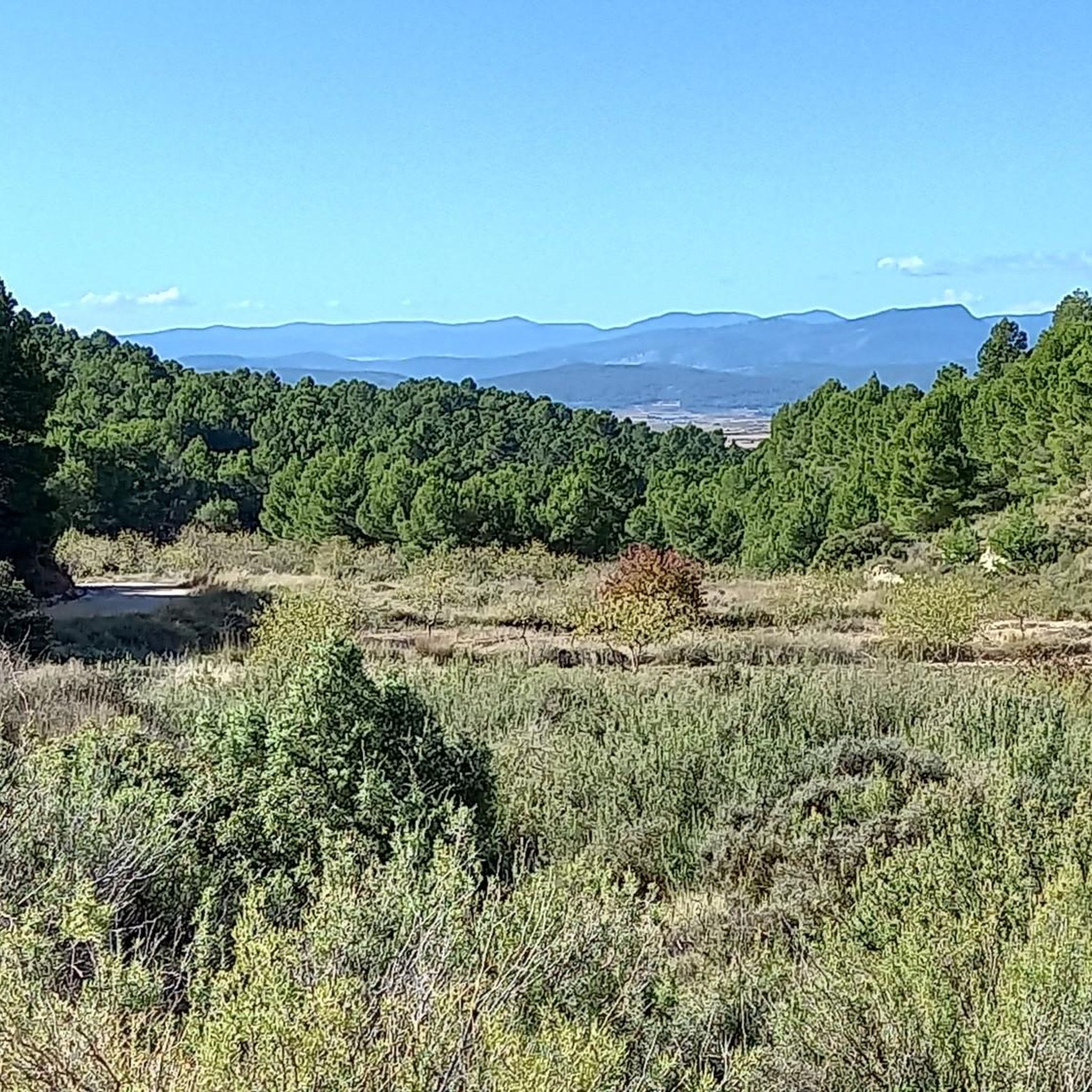
Road Cycling Routes around La Yesa
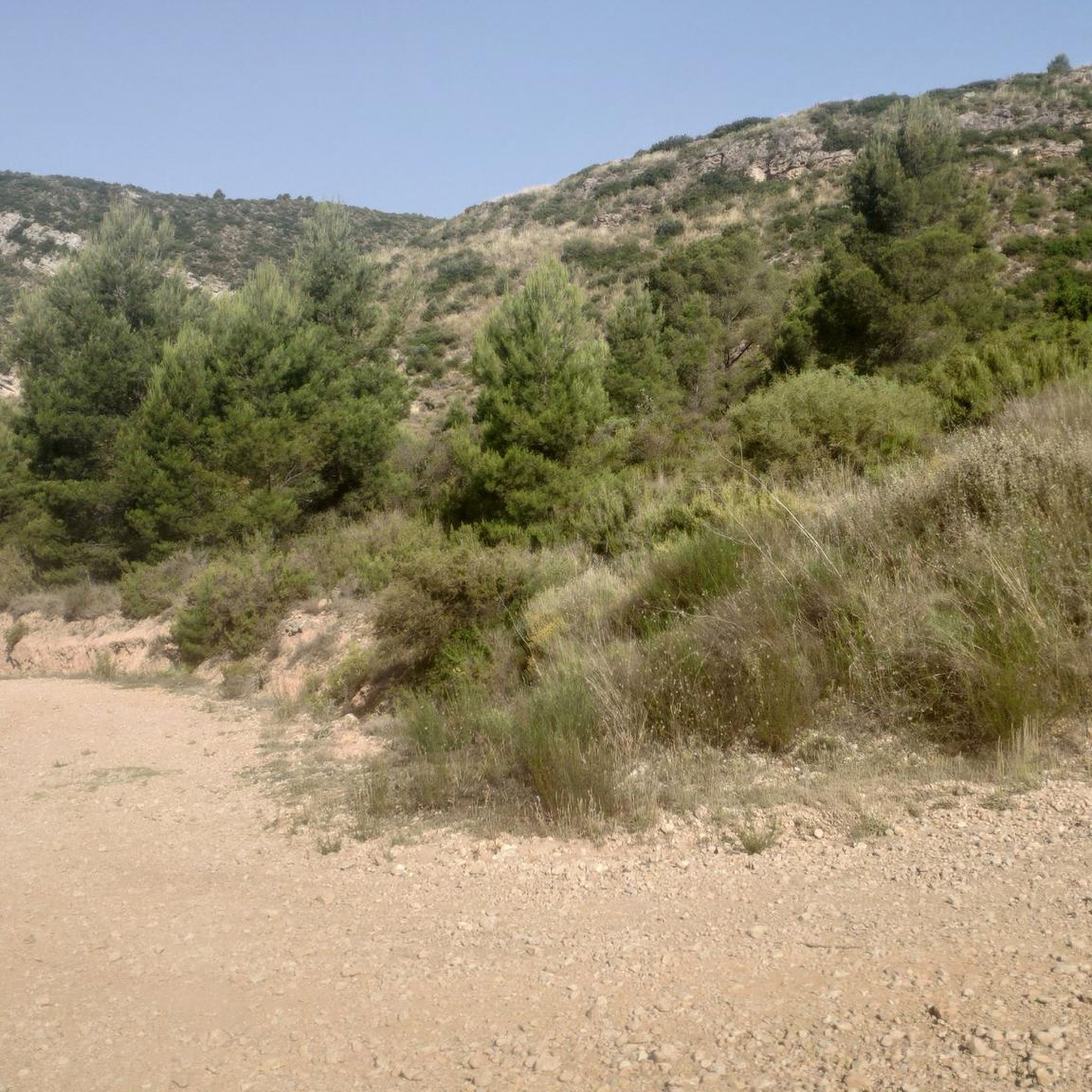
Road Cycling Routes around Losa Del Obispo
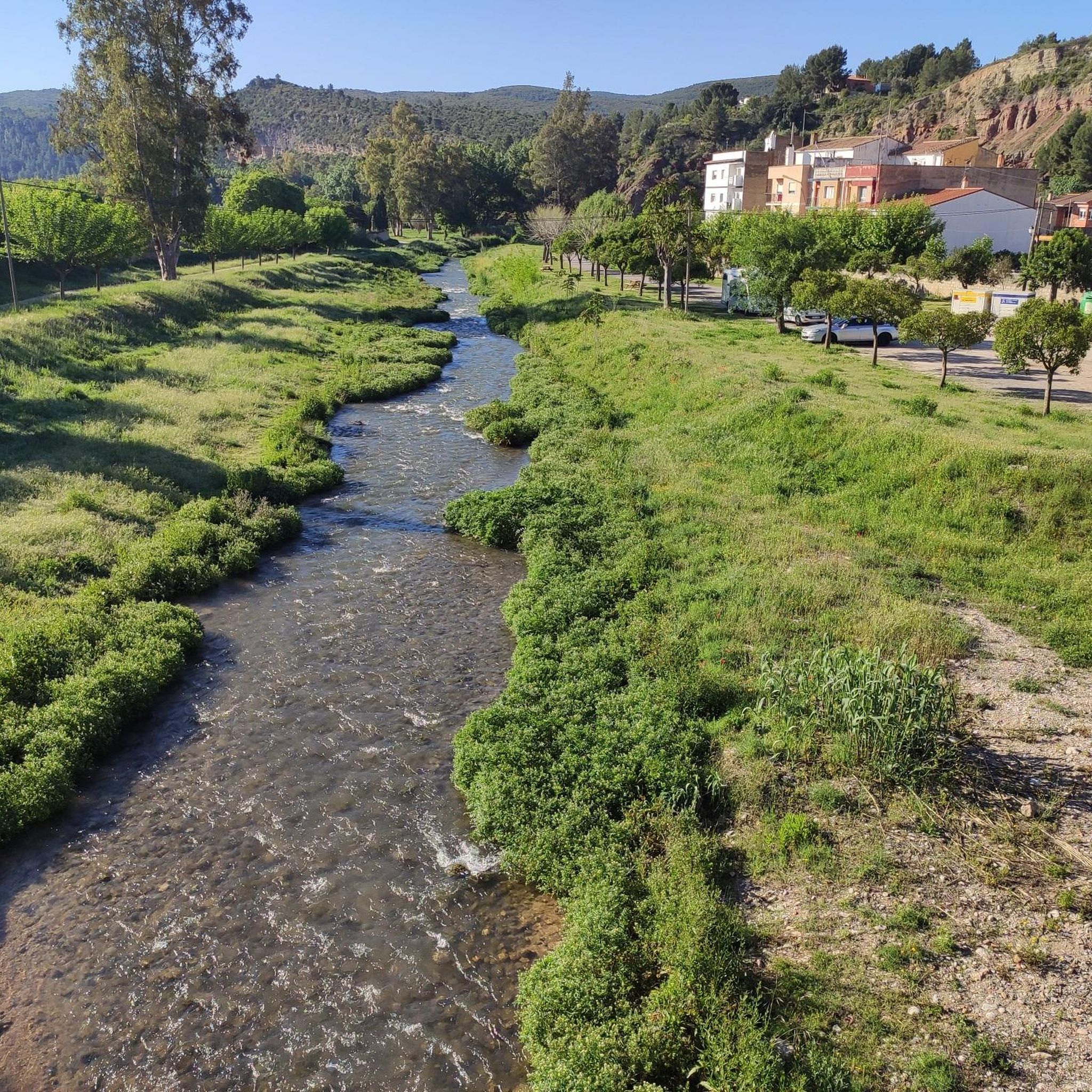
Road Cycling Routes around Calles
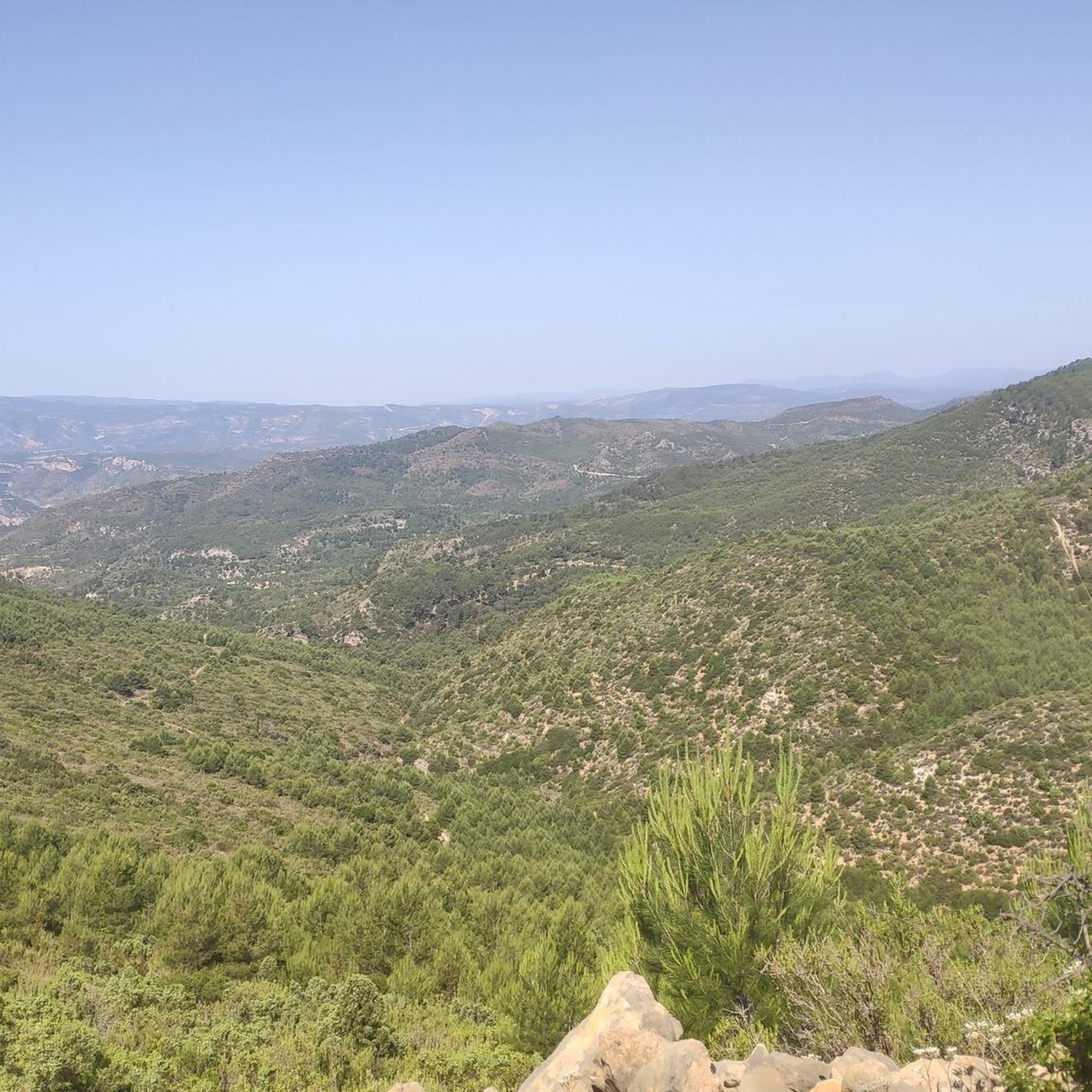
Road Cycling Routes around Villar Del Arzobispo
Other adventures around La Serranía


Tips from the Community

Fountain at the entrance of the town of Alcublas, a point to regroup before entering the town
0
0
Town in the interior of Valencia, it has services such as bars and restaurants, busy on weekends. For routes, it has the advantage that the supermarket also opens on Sundays.
0
0

The road is narrow but in excellent condition (as of 2025, it's so new it doesn't even have painted lines yet). It's 3.7 km long with an average gradient of 6.0% and a maximum gradient of 10.5%, for a total elevation gain of 221 m, reaching a summit of 409 m above sea level (according to official signage). After a short descent, you can connect to the Puerto del Barranco de la Escoba pass, or take the secondary road to climb La Marjana.
1
0
Narrow road but in very good condition. Linked from Gestalgar after the Gabaldón Pass, we find 2.8km at an average gradient of 4.8% with a maximum gradient of 9% for a difference in elevation of 135m, reaching a summit of 437m above sea level (according to the official signage).
2
0

The Los Arcos aqueduct, located in Alpuente, is a 16th and 17th-century hydraulic structure that supplied water to the town and its orchards. With its thirteen pointed arches and a length of 265 meters, the arcade bridged the uneven level of the Reguero River, although the main arch was lost in a flood in 1880. Today, it is preserved as a Site of Cultural Interest and can be easily visited from the road to La Yesa. It is an interesting spot for combining history and hiking; good footwear is recommended to explore the surroundings.
3
0
In this historic place, in 1237, King James I donated the image of the Virgin of Health to the town of Alcublas, which he carried with him on his horse.
0
0
Mural Platero and I. Caption: "Only the jet mirrors of his eyes are as hard as two black crystal scarabs."
1
0
A complex climb coming from Calles that connects Puerto de Tuejar and the east with little rest in between. It's longer than it is intense, but it adds up to almost 20 km of sustained climbs with long sections at 6%.
0
0
Frequently Asked Questions
What is the typical terrain and difficulty level for road cycling in La Serranía?
La Serranía offers a diverse range of road cycling terrain, from challenging climbs with significant elevation gains to exhilarating descents. The region features mostly well-paved surfaces and benefits from low car traffic, providing a peaceful cycling environment. You'll find routes suitable for various fitness levels, with approximately 2 easy routes, 30 moderate routes, and 45 difficult routes available.
What natural features or landmarks can I expect to see while cycling in La Serranía?
Road cycling in La Serranía allows you to explore a wealth of natural and historical wonders. In La Serranía de Cuenca, you might encounter unique geological formations like the "Enchanted City" or Las Majadas, and natural highlights such as the Cañada del Hoyo Lagoons. La Serranía de Guadalajara boasts protected natural areas like the Sierra Norte de Guadalajara and "black architecture" villages built from local slate. In La Serranía de Ronda, you can cycle through the Sierra de Grazalema and Sierra de las Nieves Natural Parks, and discover picturesque "white villages." Specific highlights include La Playeta de Chelva, Chorros de Barchel Waterfalls, and the El Frailecico Viewpoint.
Are there many circular road cycling routes available in La Serranía?
Yes, many road cycling routes in La Serranía are designed as loops or circular tours, allowing you to start and end in the same location. Examples include the challenging Climb to the port of El Remedio — Circular from Chelva and the scenic Pico del Remedio - La Serranía Loop.
Are there family-friendly road cycling routes in La Serranía?
While many routes in La Serranía feature significant elevation gains and are rated as moderate to difficult, there are a few easier options available. The region offers some routes suitable for any fitness level, which could be more appropriate for families looking for a less strenuous ride. It's always recommended to check the route profile and difficulty before setting out.
What do other road cyclists enjoy most about road cycling in La Serranía?
The area is highly rated by the komoot community, with an average score of 4.4 stars from over 10 reviews. Cyclists often praise the diverse terrain, the stunning natural beauty, and the peaceful cycling environment due to low traffic. The opportunity to explore unique geological formations, charming villages, and natural parks is also a significant draw.
What are some of the longer and more challenging road cycling routes in La Serranía?
For experienced cyclists seeking a challenge, La Serranía offers several demanding routes. The Arcos de las Salinas – Peñas de Dios Pass loop from Villar del Arzobispo is a difficult 133.6 km route with nearly 2,800 meters of elevation gain. Another significant option is the Fuente Real Pass – View of Dos Aguas loop from Loriguilla - Reva, covering 126.5 km with over 2,000 meters of ascent.
Are there any routes that offer panoramic views or notable viewpoints?
Yes, many routes in La Serranía provide spectacular panoramic views due to the mountainous terrain. The Pico del Remedio - La Serranía Loop is specifically highlighted for its panoramic vistas. Additionally, the El Frailecico Viewpoint is a notable highlight in the region, offering excellent photographic opportunities.
What is the best time of year to go road cycling in La Serranía?
La Serranía offers good cycling conditions for much of the year. The diverse climate across the different Serranías means that spring and autumn generally provide the most pleasant temperatures for cycling. Summers can be hot, especially in lower elevations, while winters can bring colder temperatures and potentially snow in higher mountain areas. It's advisable to check local weather forecasts for your specific route and time of travel.
Are there any routes that pass through charming villages or historical sites?
Absolutely. The region is rich in cultural heritage. In La Serranía de Guadalajara, you can cycle through "black architecture" villages like Campillo de Ranas. La Serranía de Ronda is famous for its picturesque "white villages" such as Zahara de la Sierra and Grazalema, which make for charming stops. Many routes will take you past rural Romanesque temples and historical castles, offering a blend of natural beauty and cultural exploration.
How long do road cycling routes in La Serranía typically take to complete?
The duration of road cycling routes in La Serranía varies significantly based on distance, elevation, and your cycling pace. For example, a difficult route like the Climb to the port of El Remedio — Circular from Chelva (53.5 km) typically takes around 2 hours and 48 minutes, while the longer Alcublas Village – Segorbe loop from El Collado de la Seca (78.6 km) might take approximately 4 hours and 4 minutes.
Are there any routes that feature water bodies like rivers or waterfalls?
Yes, La Serranía's natural landscape includes several beautiful water features. In La Serranía de Cuenca, you can find the Birth of the Júcar and Cuervo rivers, and the Cañada del Hoyo Lagoons. Specific highlights along or near cycling routes include La Playeta de Chelva, Azud de Tuéjar, and the stunning Chorros de Barchel Waterfalls.
Most popular routes around La Serranía
Most popular attractions around La Serranía

Get inspired with the komoot mobile app


Didn’t find what you were looking for?
Check out more Road cycling routes throughout La Serranía below and find the perfect route in your destination.
Explore more
Browse the best Road cycling routes in other regions.
