The best walks and hikes around Aiarako kuadrilla/Cuadrilla de Ayala
4.5
(3213)
20,870
hikers
129
hikes
Hiking around Aiarako kuadrilla/Cuadrilla de Ayala offers diverse terrain within the historical territory of Álava in the Basque Country. The region is characterized by significant natural features such as the Sierra Salvada escarpment, the Maroño Reservoir, and the high basin of the Nervión River. Hikers can explore a landscape that includes pine and oak forests, rocky outcrops, and riverine corridors. This area provides a range of hiking experiences across its varied topography.
Best hiking trails around Aiarako kuadrilla/Cuadrilla de Ayala
…Last updated: November 7, 2026
4.4
(45)
224
hikers
9.16km
02:38
220m
220m
4.4
(46)
224
hikers
9.16km
02:40
230m
230m
Moderate hike. Good fitness required. Easily walkable paths.

4.6
(23)
114
hikers
12.4km
03:25
210m
210m
Moderate hike. Good fitness required. Mostly walkable paths. Sure-footedness required.
4.3
(6)
44
hikers
14.5km
04:46
660m
670m
4.4
(10)
39
hikers
13.1km
04:32
660m
660m
4.6
(13)
73
hikers
16.3km
05:52
840m
840m
Hard hike. Very good fitness required. Mostly walkable paths. Sure-footedness required.
4.8
(4)
39
hikers
18.9km
05:59
720m
720m
Hard hike. Very good fitness required. Easily walkable paths.
4.0
(8)
64
hikers
5.42km
01:31
110m
110m
Easy hike. Easily walkable paths.
4.8
(6)
45
hikers
Moderate hike. Good fitness required. Mostly walkable paths. Sure-footedness required.
4.8
(20)
135
hikers
17.5km
05:25
600m
600m
Hard hike. Very good fitness required. Easily walkable paths.
Get access to more routes and recommendations from other explorers.
Already have an account?
Our route recommendations are based on thousands of hikes, rides, and runs completed by other people on komoot.
Start today with a free account
Your next adventure awaits.
Popular around Aiarako kuadrilla/Cuadrilla de Ayala
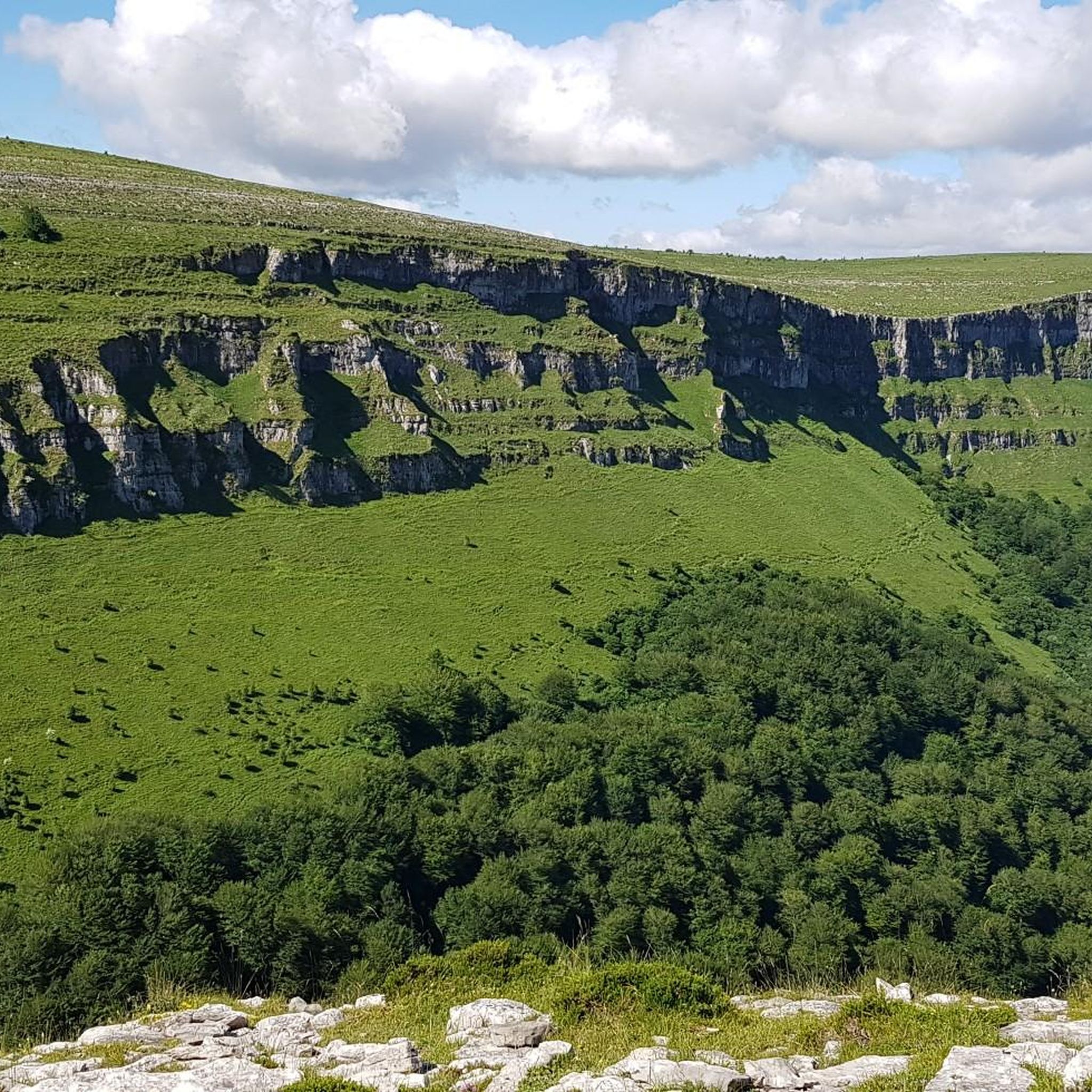
Hiking in Gorobel Mendilerroa Bbe/Zepa Sierra Sálvada
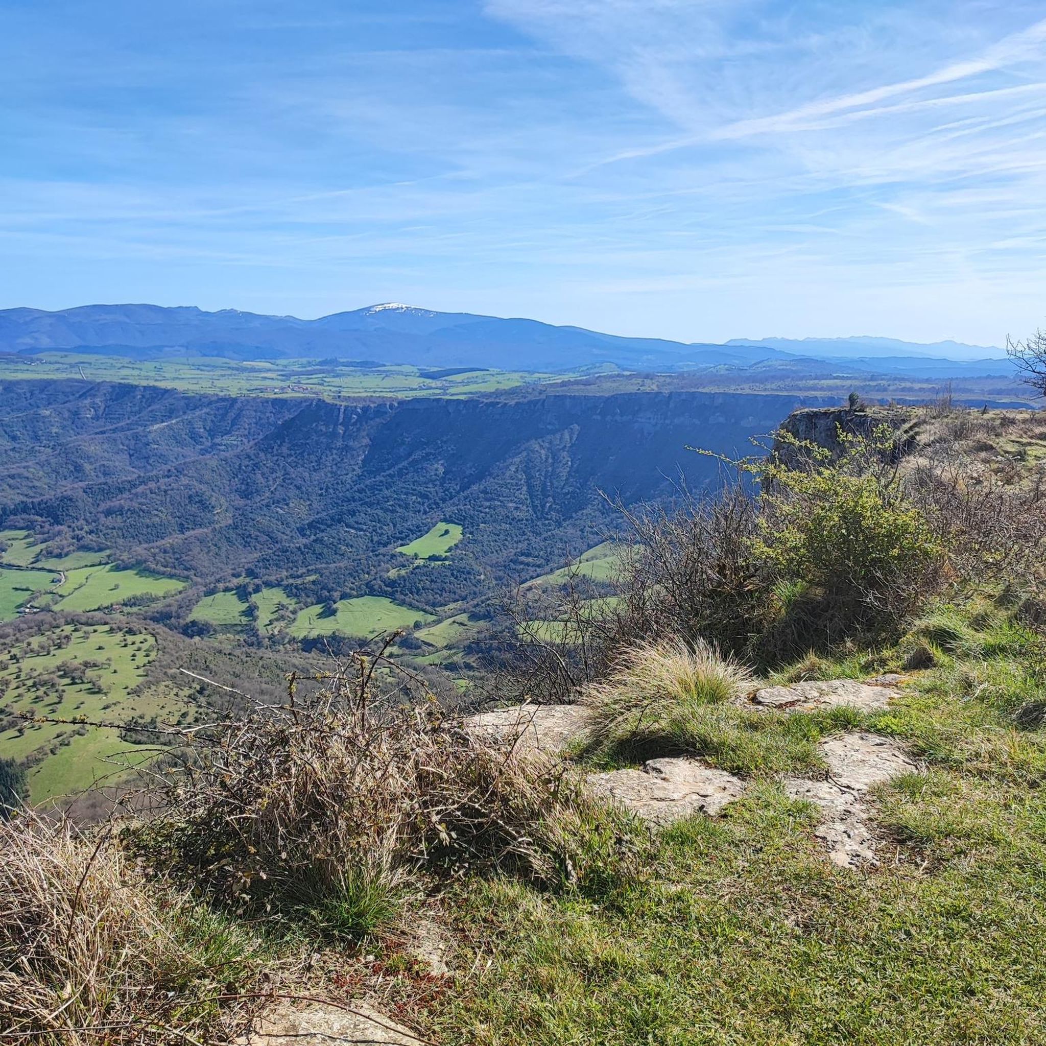
Hiking around Amurrio

Hiking around Laudio / Llodio

Hiking around Artziniega
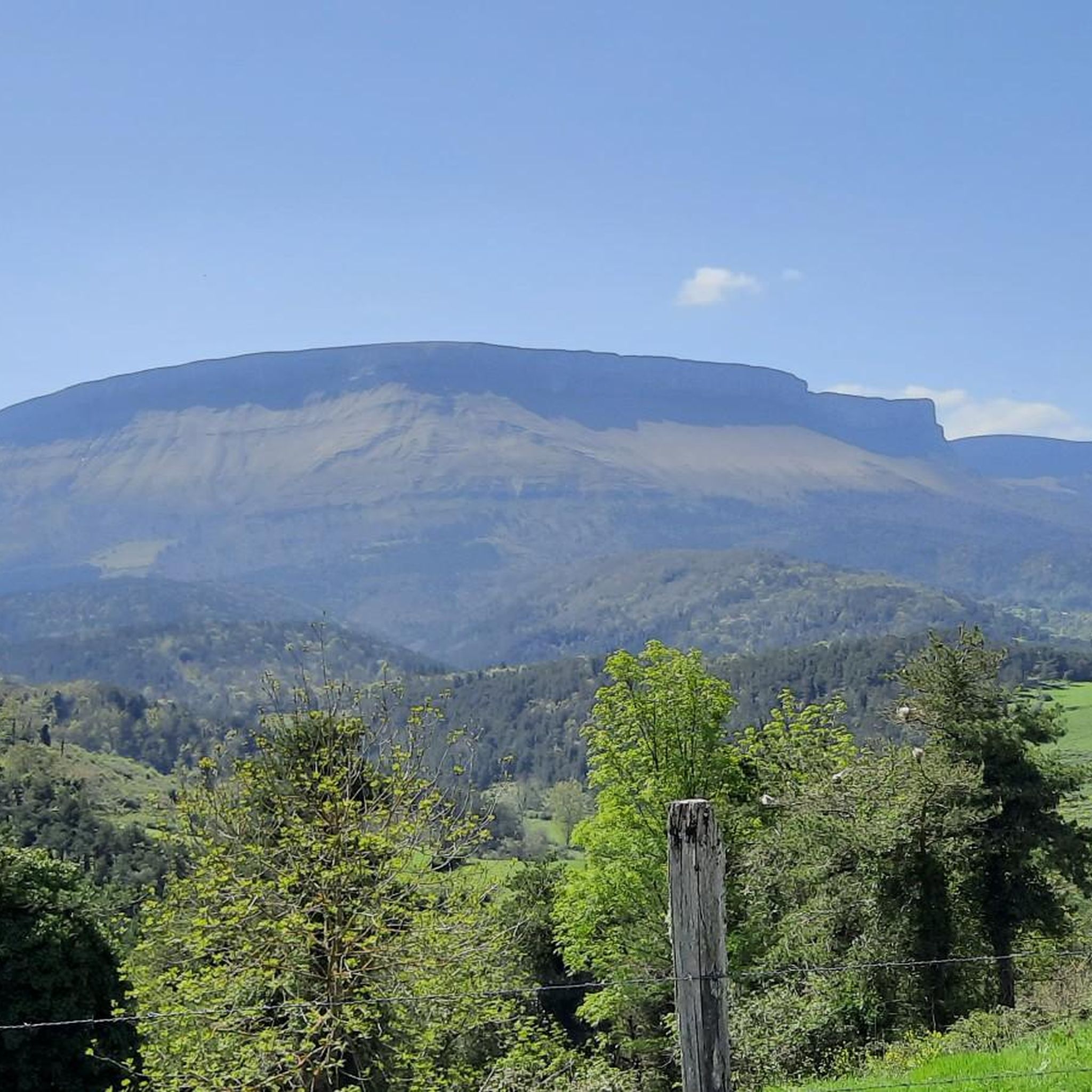
Hiking around Ayala / Aiara
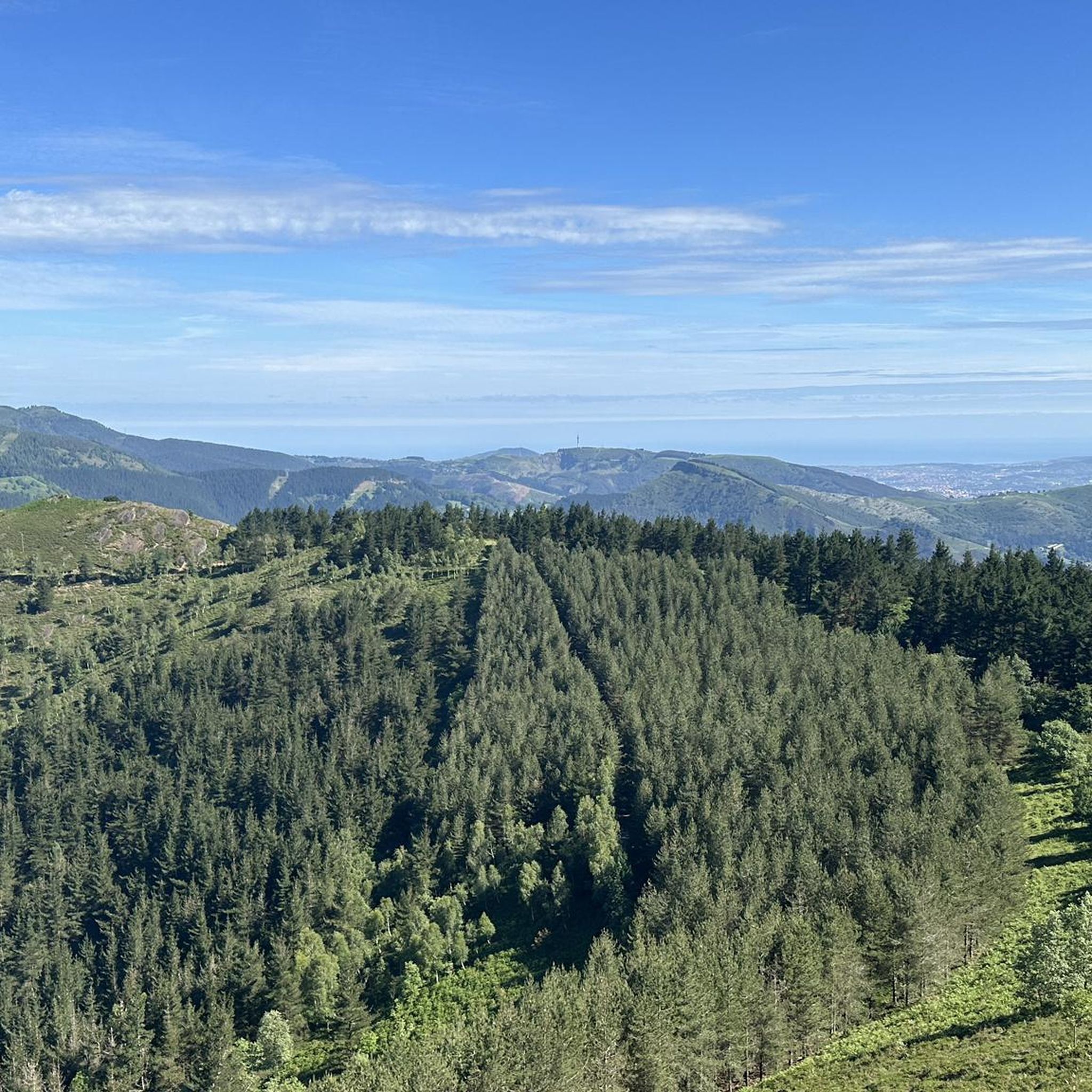
Hiking around Okondo
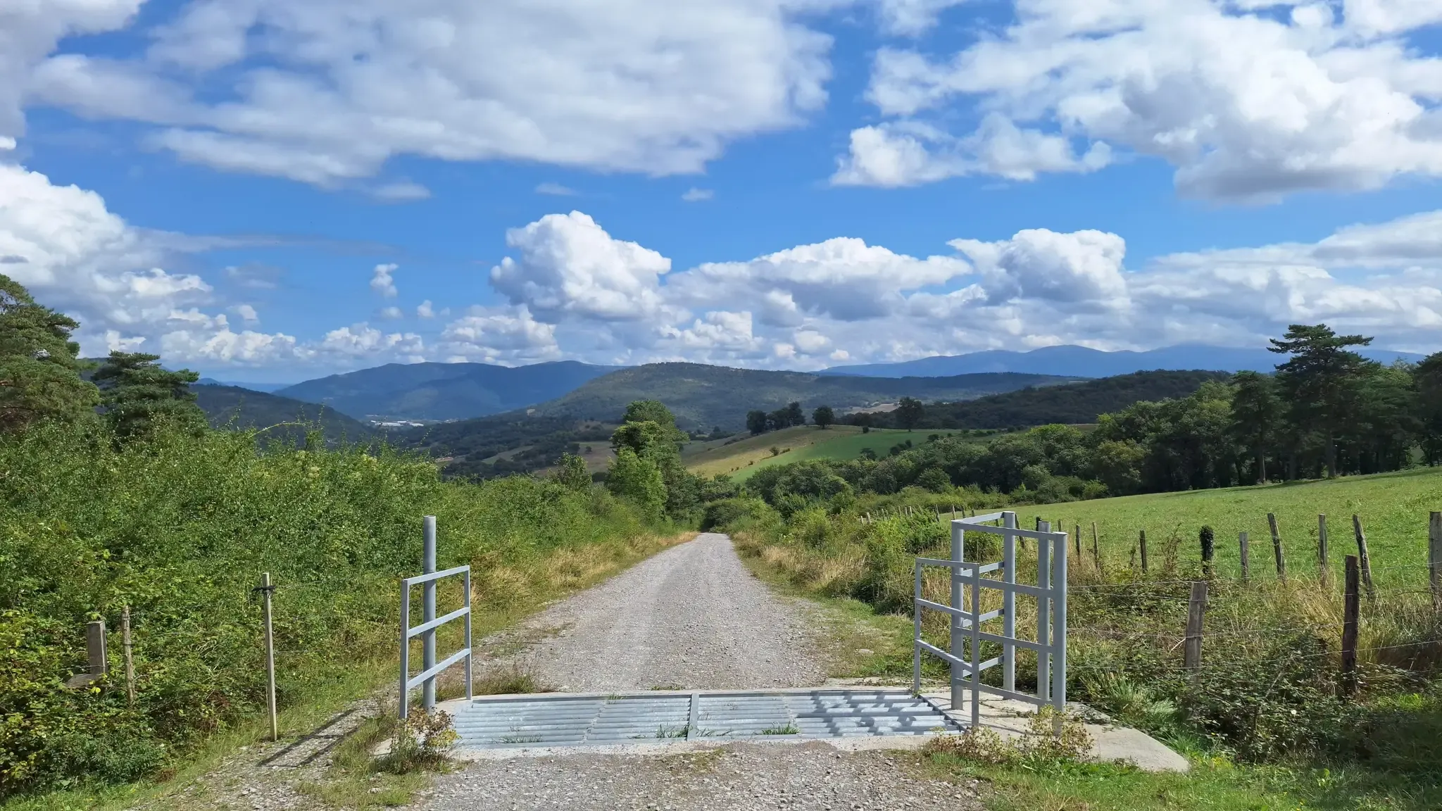
Royal Road of La Sopeña - GR 284
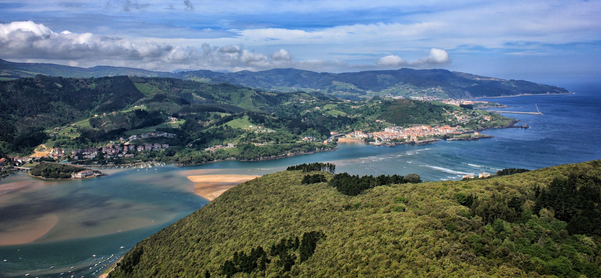
By the sea and the mountains – Tour of Biscay (GR 123)
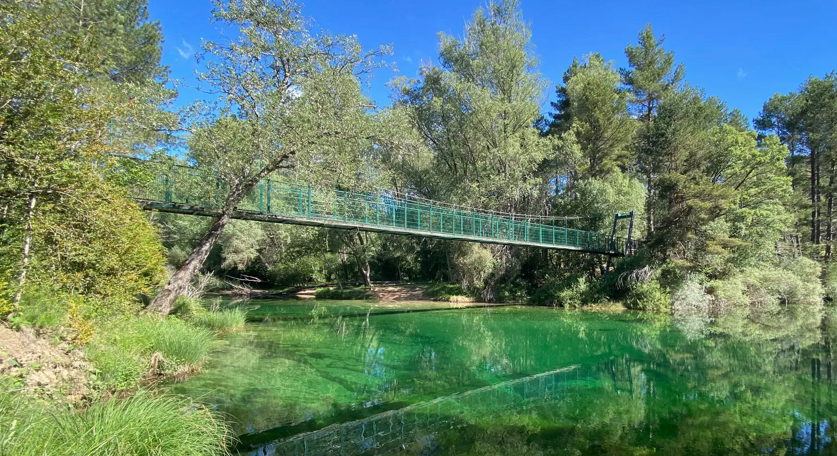
The secret routes of Spain – canyons, waterfalls and castles

Road Cycling Routes around Aiarako kuadrilla/Cuadrilla de Ayala
Other adventures around Aiarako kuadrilla/Cuadrilla de Ayala


Tips from the Community

The highest waterfall in Europe. A tough and technical climb by bike from Santa Eulalia
0
0

A fantastic waterfall, if the Rio Nervión is flowing. If not, the viewpoint is still spectacular.
2
0

Unfortunately, the Nervión has no water today, 2.5.25, so the spectacular waterfall was only a viewpoint in the canyon
4
0

Breathtaking panoramic views
0
0

Views of the valley where the Nervión River runs on its way to Bilbao, with Orduña in the background.
1
0


very beautiful view here
9
0
After rain you can have a beautiful 222 meter high waterfall in a picturesque setting with cycling and walking paths and monastery ruins. Beautiful to look at, even without water.
1
0
Frequently Asked Questions
How many hiking trails are available in Aiarako Kuadrilla/Cuadrilla de Ayala?
Aiarako Kuadrilla/Cuadrilla de Ayala offers a wide variety of hiking experiences, with over 120 routes available. These range from easy strolls to more challenging mountain treks, ensuring options for all fitness levels.
Are there many circular hiking routes in the region?
Yes, the region features numerous circular hiking routes, allowing you to start and end your journey in the same location. For example, you can explore the dramatic landscapes on the Eskutxi and Ungino — circular through Sierra Salvada trail, which offers stunning views of the Sierra Salvada escarpment.
Can I find hiking trails that feature waterfalls?
Absolutely. The region is known for its impressive waterfalls, particularly the iconic Nervión River waterfall. You can experience this natural wonder on routes like Jump from the Nervión River from Delika — Monte Santiago waterfalls. The Delika Canyon Waterfalls are also a significant attraction.
Are there any family-friendly hiking options in Aiarako Kuadrilla/Cuadrilla de Ayala?
Yes, there are 23 easy routes suitable for families, offering gentle terrain and shorter distances. These trails often pass through picturesque forests and along riverbanks, providing a pleasant outdoor experience for all ages. Look for routes with minimal elevation gain and well-maintained paths.
What kind of natural landmarks can I expect to see along the trails?
The region is rich in natural landmarks. You'll encounter the impressive Sierra Salvada escarpment, the tranquil Maroño Reservoir, and the high basin of the Nervión River. Notable summits include Views of Pico del Fraile and Ganekogorta Summit. Many trails also offer views of the Nervión River itself.
Are dogs allowed on the hiking trails in Aiarako Kuadrilla/Cuadrilla de Ayala?
Generally, dogs are welcome on most hiking trails in natural areas of Aiarako Kuadrilla/Cuadrilla de Ayala, especially if kept on a leash. It's always advisable to check specific local regulations for natural parks or protected areas, but many routes offer a great opportunity to explore with your canine companion.
What is the best time of year to hike in Aiarako Kuadrilla/Cuadrilla de Ayala?
The spring and autumn months are generally ideal for hiking in Aiarako Kuadrilla/Cuadrilla de Ayala, offering pleasant temperatures and vibrant natural scenery. Spring brings blooming flora, while autumn showcases stunning fall colors. Summer can also be enjoyable, especially for higher altitude trails, but be prepared for warmer weather.
Are there any trails that offer panoramic views of the region?
Many trails provide spectacular panoramic views, particularly those ascending the Sierra Salvada. The Views of Pico del Fraile – Txarlazo loop from Orduña is a great option for expansive vistas, including the Txarlazo summit.
What do other hikers enjoy most about hiking in Aiarako Kuadrilla/Cuadrilla de Ayala?
The area is highly rated by the komoot community, with an average score of 4.5 stars from over 650 reviews. Hikers often praise the diverse landscapes, from dramatic escarpments to tranquil river valleys, and the variety of routes suitable for different skill levels. The natural beauty and peaceful environment are frequently highlighted.
Are there any challenging hikes for experienced trekkers?
Yes, for experienced trekkers, there are 20 difficult routes available. These trails often involve significant elevation changes and longer distances. An example is the Tologorri – Barrerilla Pass loop from El Lugar, which leads through mountainous terrain and can take nearly six hours to complete.
Can I access hiking trails using public transport?
Aiarako Kuadrilla/Cuadrilla de Ayala has good communication with major cities like Bilbao and Vitoria-Gasteiz, making some areas accessible by public transport. Towns like Llodio, Ayala, and Amurrio, which are connected by the Nervión River Linear Park, often serve as starting points for trails and may have public transport links. It's recommended to check local bus or train schedules for specific trailheads.
Are there any trails that explore historical or cultural sites?
While primarily known for its natural beauty, the region also has a rich heritage. Some trails, like Kamaraka por Santa Maria del Yermo — circular por los Cinturón de Hierro, may pass near historical points of interest or through areas with cultural significance, offering a blend of nature and history.
Most popular routes around Aiarako kuadrilla/Cuadrilla de Ayala
Most popular attractions around Aiarako kuadrilla/Cuadrilla de Ayala

Get inspired with the komoot mobile app


Didn’t find what you were looking for?
Check out more Hikes throughout Aiarako kuadrilla/Cuadrilla de Ayala below and find the perfect route in your destination.
Explore more
Browse the best Hikes in other regions.
