The best road cycling routes around El Barco De Valdeorras
5.0
(8)
955
riders
81
rides
Road cycling routes around El Barco De Valdeorras traverse the picturesque Sil valley, overlooked by the Sierra del Eje, offering diverse landscapes. The region features varied elevations, from scenic river routes along the Sil River to challenging climbs through mountainous terrain. Extensive vineyards blanket the slopes, providing a unique backdrop for cycling, alongside natural features like the Serra da Enciña da Lastra Natural Park. This topography creates a rich variety of terrains suitable for different levels of road cyclists.
Best…
Last updated: July 21, 2026
26
riders
86.1km
04:34
1,660m
1,660m
This difficult 53.5-mile road cycling loop in Pena Trevinca offers 5452 feet of elevation gain, passing the scenic Prada Reservoir.
26
riders
54.5km
03:31
1,510m
1,500m
Tackle the difficult Cabeza de Manzaneda Loop from A Pobra de Trives, a 33.9-mile road cycling route with stunning panoramic views.

Sign up for free
5.0
(1)
14
riders
101km
05:20
1,950m
1,940m
Hard road ride. Very good fitness required. Mostly well-paved surfaces and easy to ride.
13
riders
91.7km
03:49
1,640m
1,640m
This difficult 57.0-mile road cycling loop, the Itinerario de Monterrei and Alto do Fojo, offers 5395 feet of gain and takes about 3 hours 4
4
riders
49.7km
02:44
1,030m
1,030m
This difficult 30.9-mile road cycling route in A Gudiña offers challenging climbs, stupendous mountain views, and passes the Portas Dam.
2
riders
78.2km
05:21
1,740m
1,740m
Hard road ride. Very good fitness required. Some segments of this route may be unpaved and difficult to ride.
1
riders
54.0km
02:45
950m
950m
Hard road ride. Very good fitness required. Mostly well-paved surfaces and easy to ride.
5.0
(2)
43
riders
90.7km
05:02
1,770m
1,770m
Hard road ride. Very good fitness required. Some segments of this route may be unpaved and difficult to ride.
40
riders
120km
07:38
3,120m
3,120m
Hard road ride. Very good fitness required. Some segments of this route may be unpaved and difficult to ride.
36
riders
Hard road ride. Very good fitness required. Mostly well-paved surfaces and easy to ride.
Get access to more routes and recommendations from other explorers.
Sign up for free
Already have an account?
Our route recommendations are based on thousands of hikes, rides, and runs completed by other people on komoot.
Start today with a free account
Your next adventure awaits.
Login or Signup
Popular around El Barco De Valdeorras
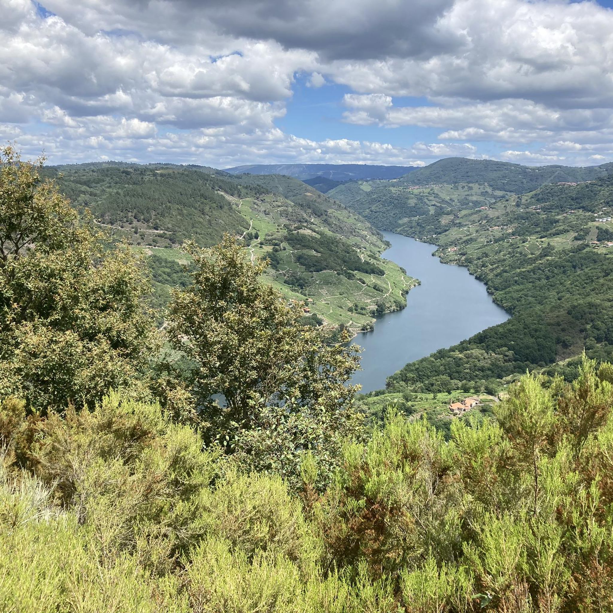
Road Cycling Routes around Montederramo
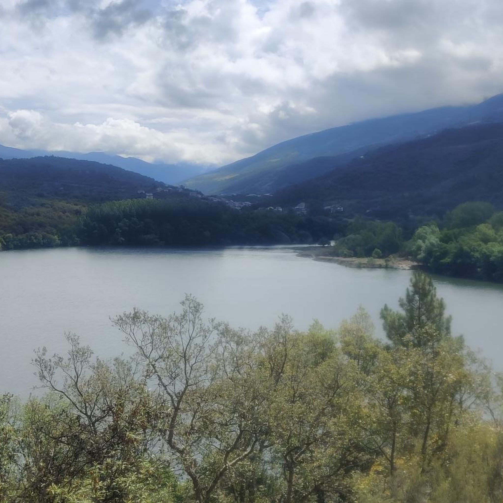
Road Cycling Routes around Carballeda De Valdeorras
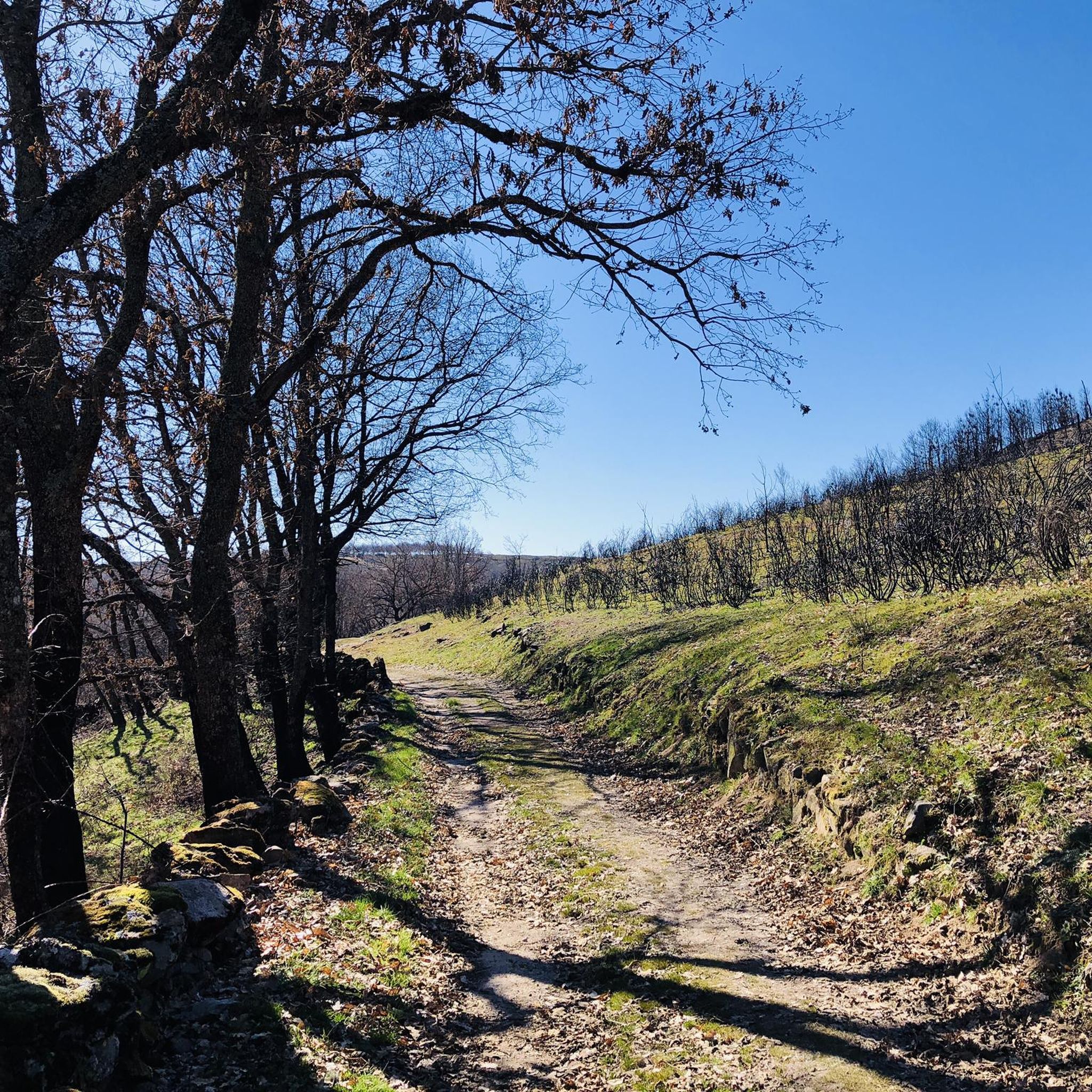
Road Cycling Routes in Pena Maseira
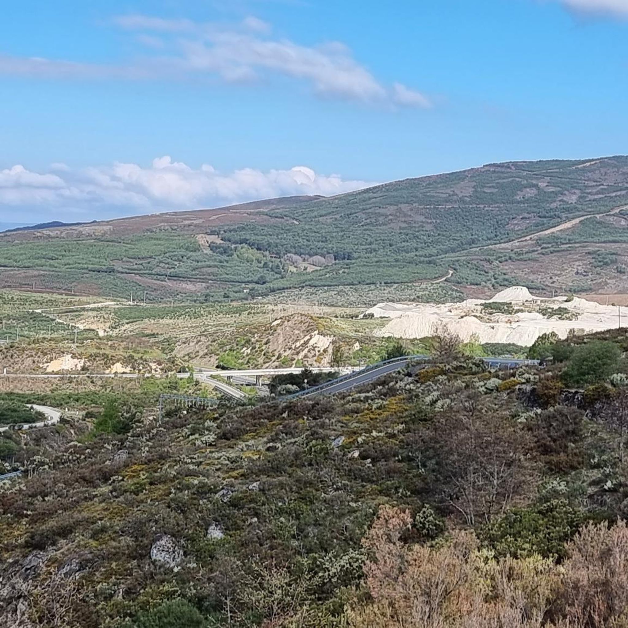
Road Cycling Routes around A Mezquita
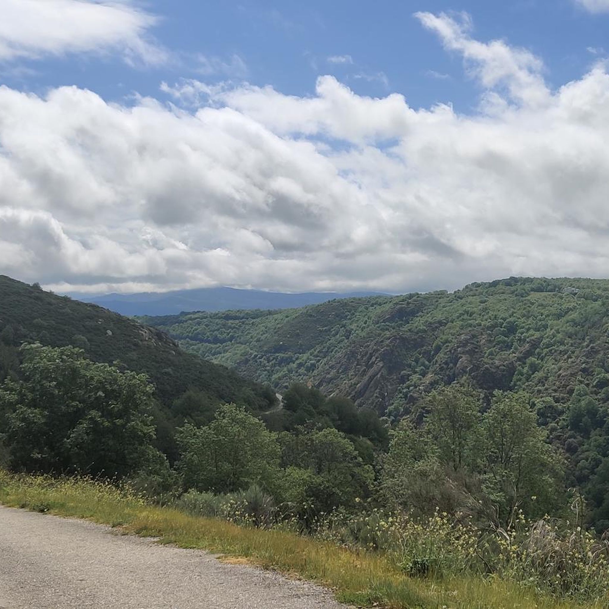
Road Cycling Routes around San Xoán De Río
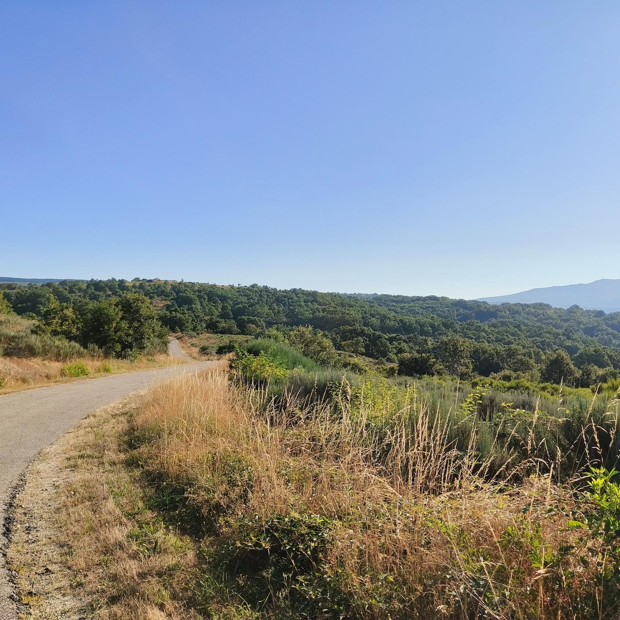
Road Cycling Routes around A Veiga
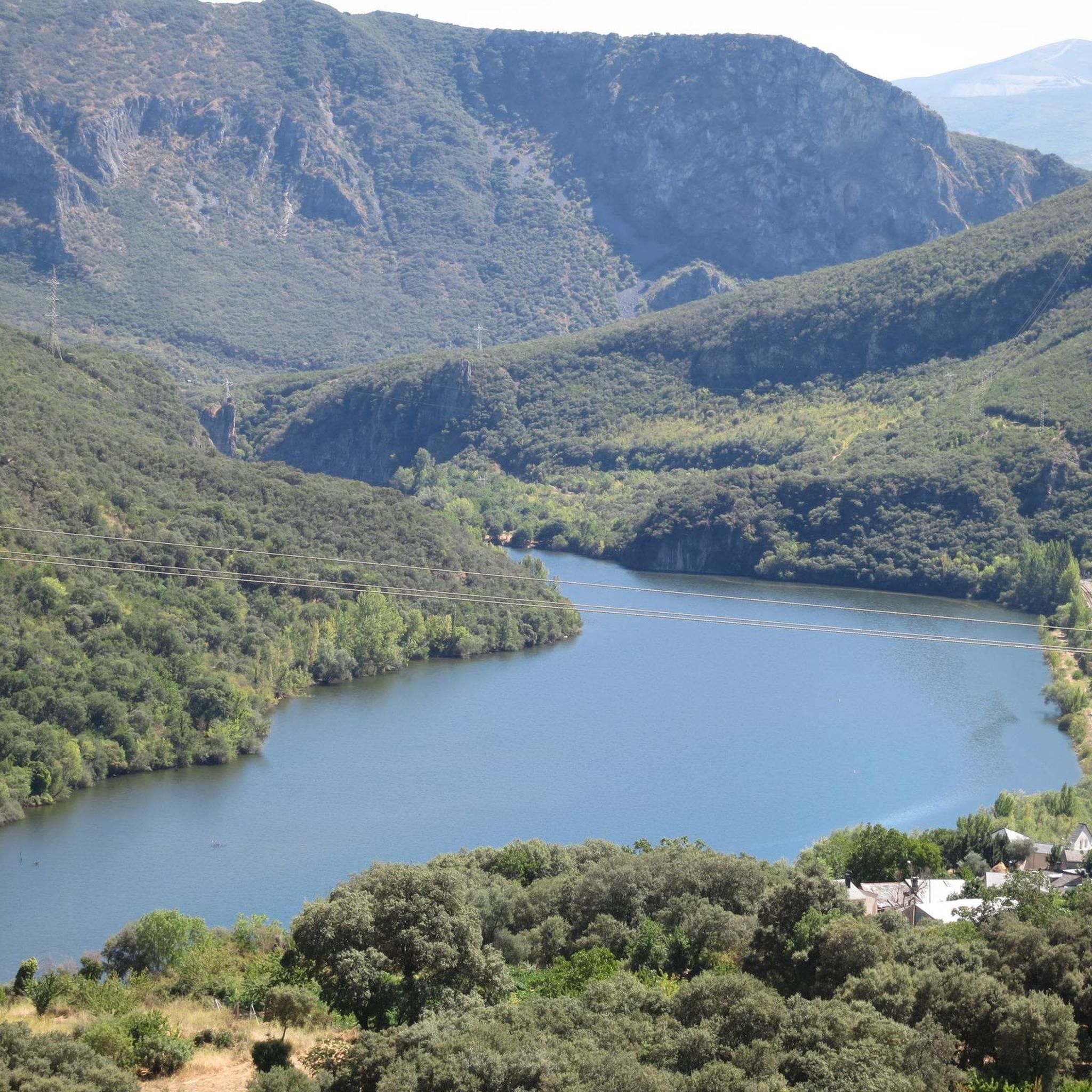
Road Cycling Routes in Serra Da Enciña Da Lastra
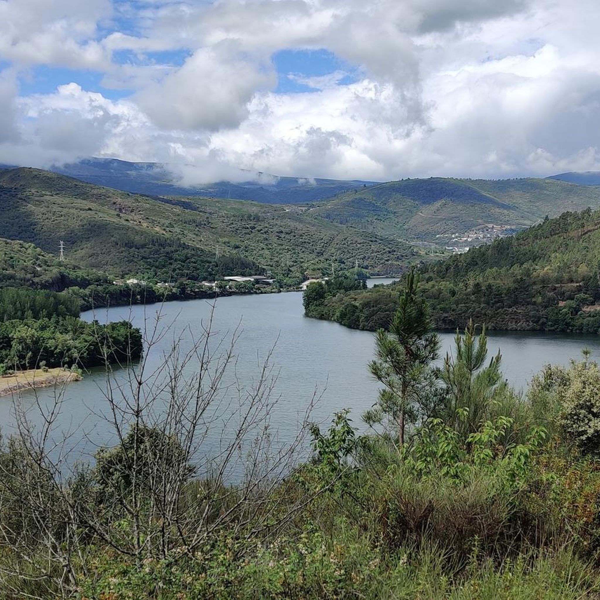
Road Cycling Routes around Rubiá
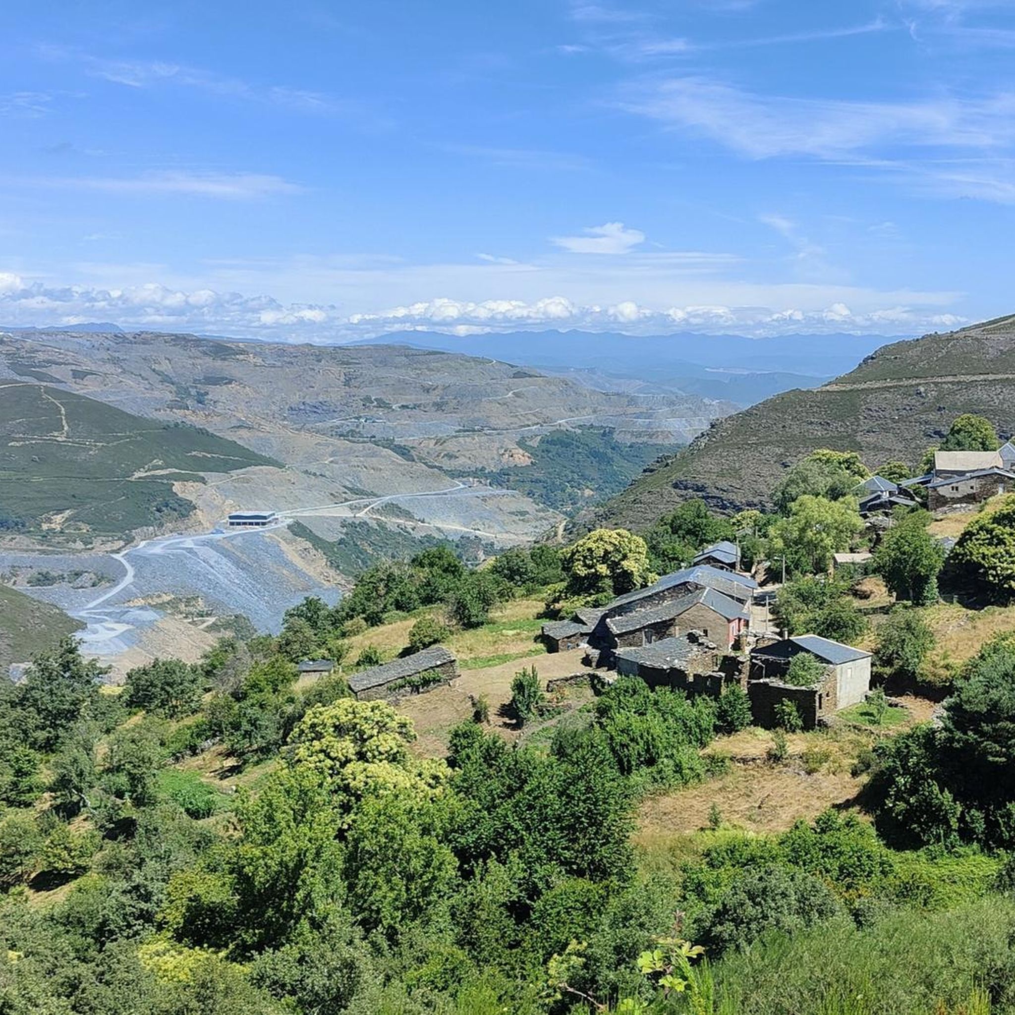
Road Cycling Routes in Pena Trevinca
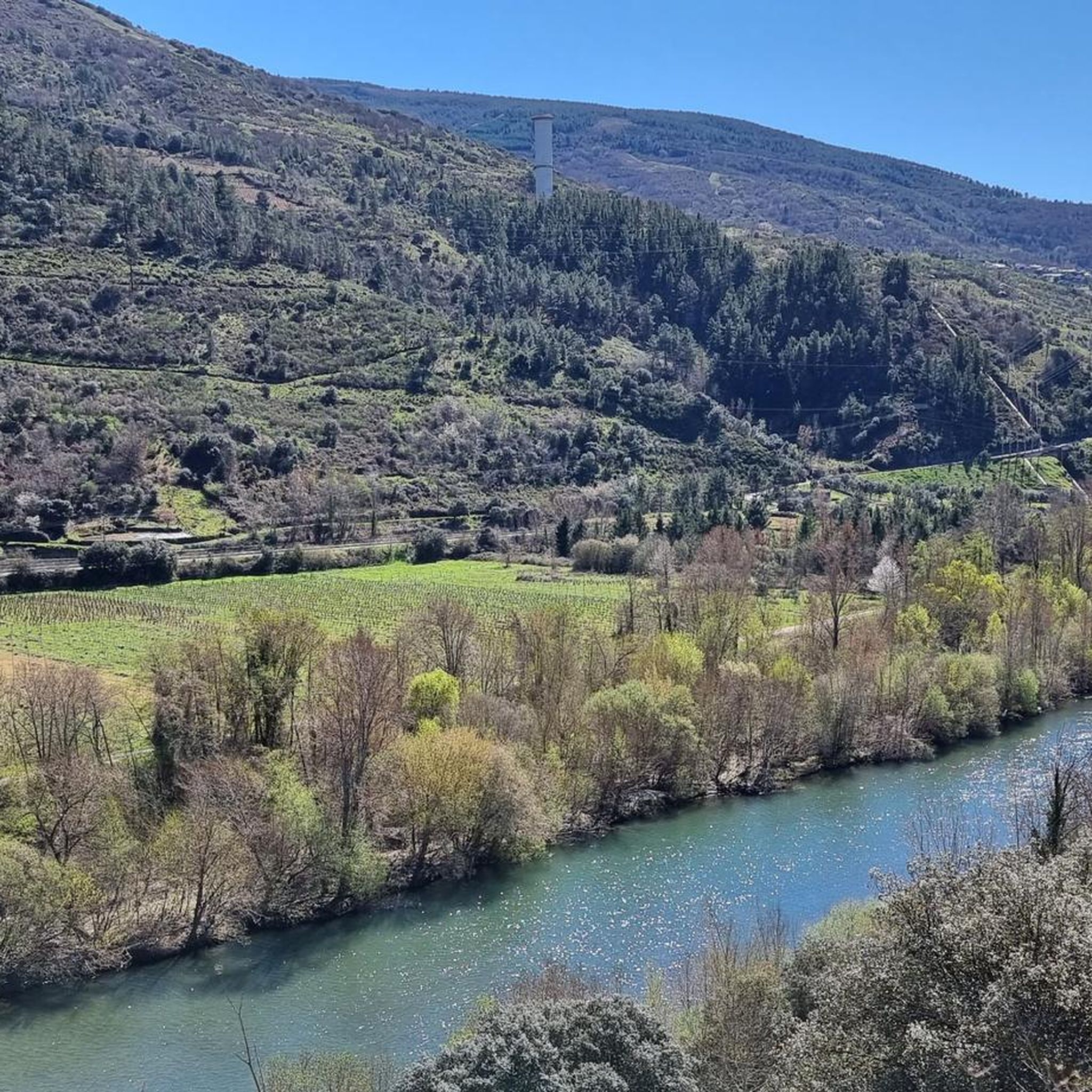
Road Cycling Routes around O Bolo
Tips from the Community

Here begins an uphill section through forests
0
1

The Portela da Canda Pass, also known as the Canda Pass or simply A Canda, is a mountain pass of great geographical, historical, and cultural value that connects Galicia (province of Ourense) with Castile and León (province of Zamora). Located in the Sierra Segundera mountain range, within the Galician Massif, it has traditionally been a crossing point for travelers, merchants, and pilgrims. It forms part of the Sanabrés Way of St. James, an extension of the Silver Route (Vía de la Plata), and is the entry point into Galicia for pilgrims coming from the south. The surrounding area features Jacobean sculptures and wayside crosses (cruceiros) that guide the route, the work of the artist Nicanor Carballo.
5
0

Visitable castle restored in different areas and worth seeing, along with the streets that surround it, medieval area of the town of Castro Caldelas
0
0

Small Zamorana town near Portugal in the Sanabria region. Picturesque town with numerous fountains and a bar where you can stop to recharge your batteries.
0
0
In the Middle Ages, the fortress of Castro Caldelas belonged to the house of Trastámara, its growth being very rapid due to trade and craft activities in which linen weavers made this place an important location for their businesses, in addition to Jews with liberal occupations.
3
0

Monastery where the school and the Town Hall are located, beautiful
0
0
With a semicircular arch façade. Inside the temple it is possible to find artistic elements such as a baroque-style altarpiece or a carving of San Antonio Abad that have a certain artistic value.
10
0

The Pumares Reservoir contains the waters of the Sil River. The reservoir is located on the border between León and Galicia next to the N-536 National Highway that runs between Ourense and Ponferrada.
1
0
Frequently Asked Questions
How many road cycling routes are available around El Barco de Valdeorras?
There are over 80 road cycling routes available around El Barco de Valdeorras. These routes traverse diverse landscapes, from the picturesque Sil valley to challenging mountainous terrain.
What kind of terrain can I expect on road cycling routes in El Barco de Valdeorras?
You can expect a rich variety of terrains. Routes often follow the scenic Sil River, wind through extensive vineyards, and climb into the mountainous Sierra del Eje and towards the Serra da Enciña da Lastra Natural Park. The region offers everything from moderate rides along river valleys to very demanding ascents.
Are there road cycling routes suitable for different skill levels?
Yes, the region caters to various skill levels. While the majority of routes are classified as difficult (over 50 routes), there are also around 25 moderate routes and a few easier options available, allowing cyclists to choose based on their experience and fitness.
Do road cycling routes in El Barco de Valdeorras involve significant climbing?
Many routes in El Barco de Valdeorras feature significant elevation gain, especially those venturing into the Sierra del Eje or towards the Macizo de Trevinca. For example, the Ponte Bibei – Alto de Covelo loop from Montemiao covers over 3,200 meters of ascent, offering a true challenge for experienced riders.
What scenic highlights or landmarks can I see while road cycling in El Barco de Valdeorras?
The region is rich in natural beauty and historical sites. You can cycle through the dramatic Sil Valley, past extensive vineyards, and discover natural parks like Serra da Enciña da Lastra. Notable viewpoints such as Balcones de Madrid Viewpoint (Os Torgás Viewpoint) and As Fontiñas Viewpoint offer panoramic views. You might also encounter historical sites like the Monastery of Santa Cristina or the O Bañadoiro Suspension Bridge.
Are there many circular road cycling routes in the El Barco de Valdeorras area?
Yes, many road cycling routes in the area are designed as loops or returns, allowing you to start and finish at the same point. An example is the challenging Alto de Covelo and Alto da Portela Loop, which offers a comprehensive tour of the local landscape.
When is the best time of year for road cycling in El Barco de Valdeorras?
The region is beautiful year-round, but spring and autumn are particularly pleasant for road cycling. Autumn offers spectacular colors from the centenary chestnut groves, while spring brings mild temperatures and blooming landscapes. Summer can be warm, especially in the valley, so early morning rides are recommended.
What do other road cyclists enjoy most about road cycling in El Barco de Valdeorras?
The area is highly rated by the komoot community, with an average score of 5.0 stars. Cyclists often praise the diverse landscapes, from the dramatic Sil Canyon to the serene vineyards, and the challenging yet rewarding climbs that offer stunning views.
Can I find routes that pass through the famous Valdeorras vineyards?
Absolutely. The Valdeorras region is renowned for its Designation of Origin wines, and many road cycling routes traverse the extensive vineyards that blanket the slopes and hillsides. These routes offer a unique blend of scenic beauty and cultural experience, often with opportunities to visit local wineries.
Are there any routes that follow the Sil River?
Yes, the Sil River is a central feature of the region, and many routes incorporate sections along its banks. The river's course shapes the valley, providing scenic and often less strenuous options compared to the mountain climbs. The Canyon do Sil Vuelta, for instance, offers dramatic views of the river canyon.
Are there any particularly long or challenging road cycling routes for experienced riders?
For experienced riders seeking a significant challenge, routes like the Sobradelo Medieval Bridge – Church of San Miguel de Biobra loop from Pumares stand out. This route covers nearly 120 km with over 3,100 meters of elevation gain, providing a demanding and rewarding experience through varied terrain.
Most popular routes around El Barco De Valdeorras
Most popular attractions around El Barco De Valdeorras

Get inspired with the komoot mobile app


Didn’t find what you were looking for?
Check out more Road cycling routes throughout El Barco De Valdeorras below and find the perfect route in your destination.
