The best walks and hikes around Castuera
4.5
(16)
122
hikers
38
hikes
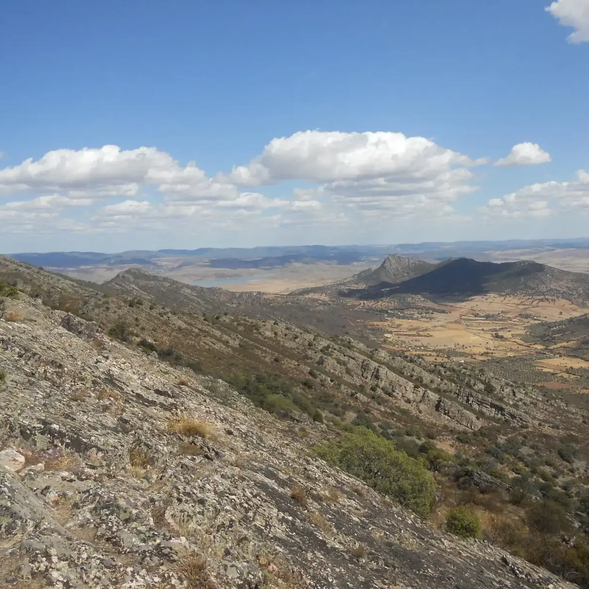
Hiking around Castuera offers a network of trails through the Extremaduran landscape. The region is characterized by rolling hills, agricultural lands, and scattered woodlands, providing varied terrain for exploration. Many routes feature historical elements and natural viewpoints. The area's topography includes gentle ascents and descents, suitable for different hiking abilities.
Best hiking trails in Castuera
- The most popular hiking route is Benquerencia Castle Trail, an easy 3.5 miles (5.7 km) trail that takes 1 hour 30 minutes to complete, leading to historical ruins.
- Another top favourite among local hikers is Cerro de San Cristóbal and La Charca Trail, a moderate 6.3 miles (10.1 km) path. This route offers views from Cerro de San Cristóbal and passes by La Charca.
- Local hikers also love the Dolmen Sierra Gorda, a 2.6 miles (4.2 km) trail leading through open countryside to an ancient megalithic site, often completed in about 1 hour 10 minutes.
- Hiking around Castuera is defined by its gentle hills, historical sites, and open landscapes. The network of hiking trails offers options for various ability levels, including easy hiking trails near Castuera.
- The routes in Castuera are highly rated by the komoot community with an average score of 4.5 stars from 13 reviews. More than 70 hikers have used komoot to explore Castuera's varied terrain.
Last updated: May 11, 2026
4.0
(1)
8
hikers
9.49km
03:02
370m
370m
Hard hike. Good fitness required. Sure-footedness, sturdy shoes and alpine experience required.
5.0
(1)
4
hikers
14.2km
04:04
320m
330m
Moderate hike. Good fitness required. Mostly accessible paths. Sure-footedness required.

Sign up for free
2
hikers
5.65km
01:32
80m
80m
Easy hike. Great for any fitness level. Easily-accessible paths. Suitable for all skill levels.
1
hikers
21.7km
06:23
590m
580m
Hard hike. Very good fitness required. Easily-accessible paths. Suitable for all skill levels.
5.0
(1)
2
hikers
14.7km
04:24
430m
430m
Moderate hike. Good fitness required. Easily-accessible paths. Suitable for all skill levels.
1
hikers
4.16km
01:11
100m
100m
Easy hike. Great for any fitness level. Easily-accessible paths. Suitable for all skill levels.
10.1km
02:42
120m
120m
Moderate hike. Good fitness required. Easily-accessible paths. Suitable for all skill levels.
14.0km
03:51
240m
240m
Moderate hike. Good fitness required. Mostly accessible paths. Sure-footedness required.
1
hikers
12.0km
03:04
40m
40m
Moderate hike. Good fitness required. Easily-accessible paths. Suitable for all skill levels.
1
hikers
12.7km
03:42
340m
340m
Moderate hike. Good fitness required. Easily-accessible paths. Suitable for all skill levels.
Get access to more routes and recommendations from other explorers.
Sign up for free
Already have an account?
Our route recommendations are based on thousands of hikes, rides, and runs completed by other people on komoot.
Start today with a free account
Your next adventure awaits.
Login or Signup
Popular around Castuera

Other adventures around Castuera

Tips from the Community

The Ermita del Calvario in Cabeza del Buey is a very special place of worship, located on top of a hill. This hermitage offers stunning views of the surrounding landscape. The route to the hermitage begins on Calle Oriente and winds along the slope of the Sierra del Pedregoso. Along the way, there are 14 crosses that symbolize the stops that Jesus made while carrying the cross before being crucified. The hermitage, built in the 18th century by the Gante family, has recently been restored and houses simple but beautiful paintings inside.
4
0
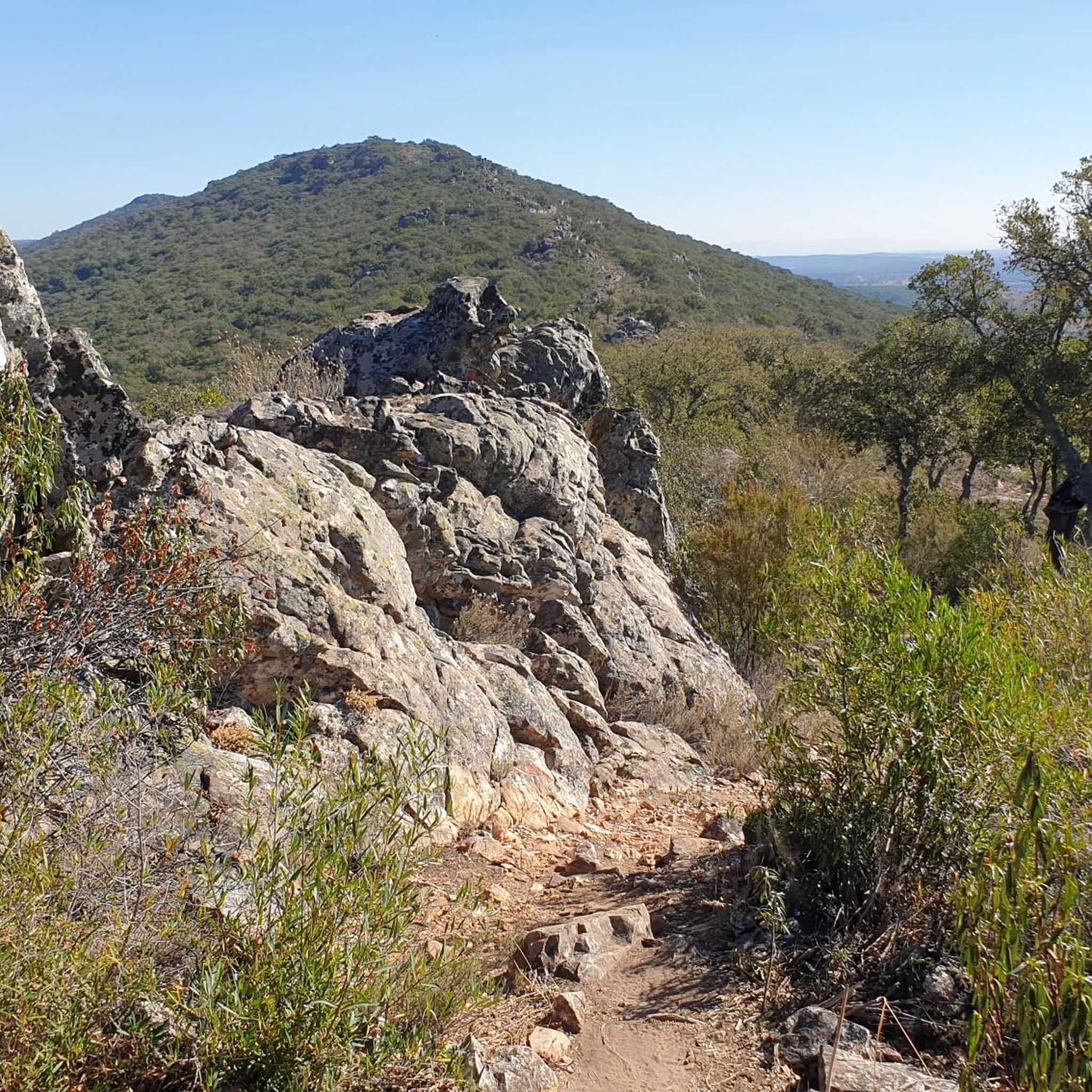
Peñón del Pez is a rock formation located in the town of Capilla, in the province of Badajoz. This rock is known for its impressive landscape and rich biodiversity, which includes species such as vultures, Bonelli's eagles, black storks and peregrine falcons.
7
0

Today, the castle is not only not in ruins (it has been restored), but for me it is one of the best preserved in the area, and can be visited. In the mornings it is open for a few hours, it has a well-preserved cistern that is interesting to see, the views, especially with the reservoir full of water, are spectacular.
0
0
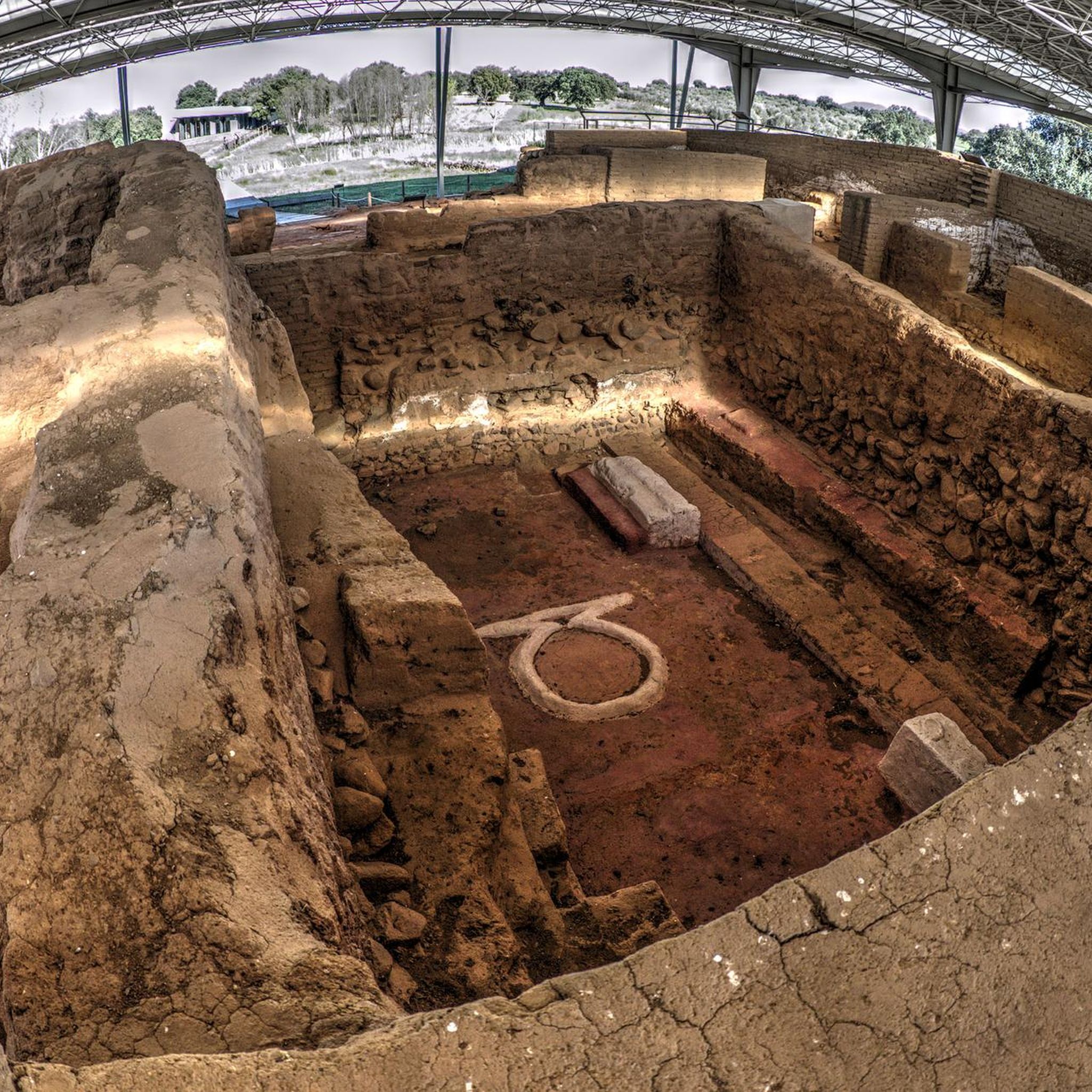
Cancho Roano is located three kilometers from Zalamea, in the direction of Quintana de la Serena, in a small valley next to the Cagancha stream. Although it was initially attributed to Tartessos, later research suggests a Phoenician architectural character. Cancho Roano invites us to explore its mystery and reflect on the ancient civilizations that left their mark on this place. 🏛️🌿
2
0

A stage destination on the Camino Mozarabe
0
1

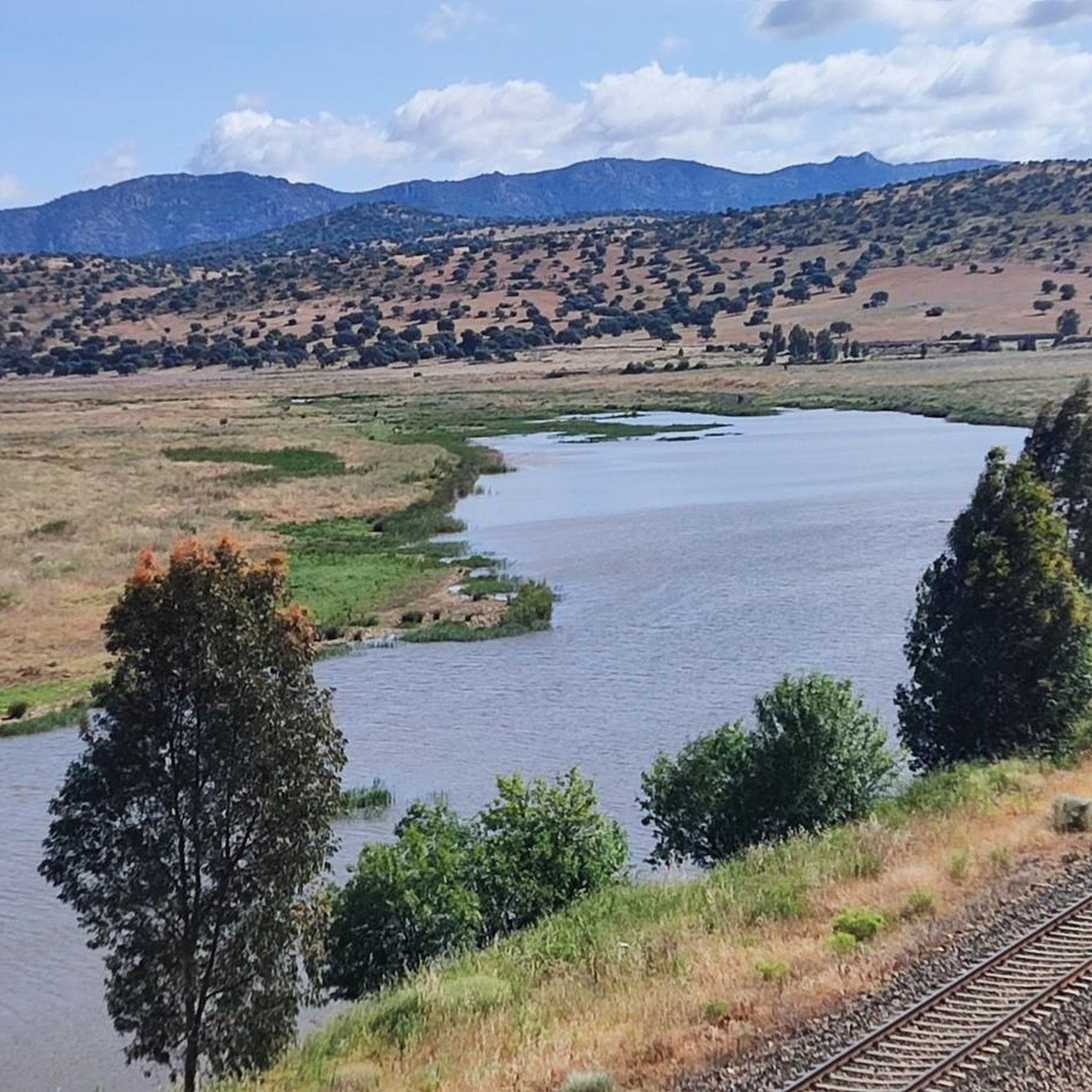
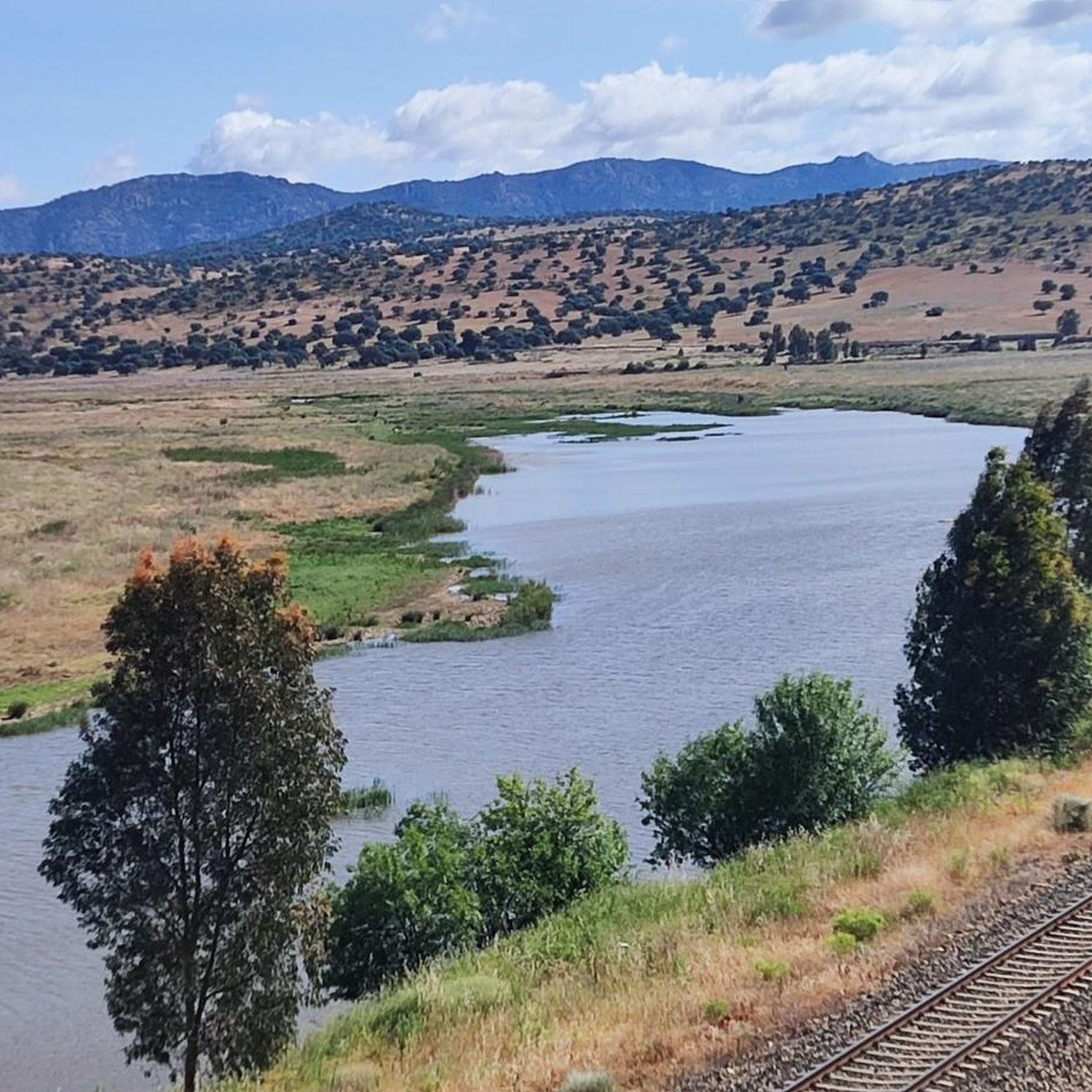
A unique beach on the shores of the Serena reservoir with an old bridge submerged when the water level in the reservoir is law. You can literally walk on water.
1
1
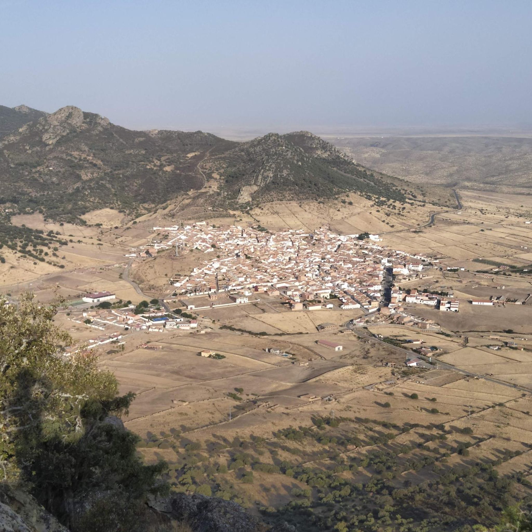
Spectacular views from the Peñón del Pez hiking trails towards Peñalsordo in the valley below and La Torreta peak beyond.
1
1
Spectacular view of Capilla from the walk to the castle above the town. On a clear day you can see it for miles.
1
0
Frequently Asked Questions
How many hiking trails are available around Castuera?
There are over 35 hiking trails around Castuera, offering a variety of options for different skill levels. This includes 17 easy routes, 15 moderate routes, and 6 difficult trails.
What kind of landscape can I expect when hiking in Castuera?
Hiking around Castuera takes you through the Extremaduran landscape, characterized by rolling hills, extensive agricultural lands, and scattered woodlands. You'll find varied terrain with gentle ascents and descents, often featuring historical elements and natural viewpoints.
Are there easy hiking trails suitable for beginners or families in Castuera?
Yes, Castuera offers several easy hiking trails perfect for beginners or families. A good option is the Benquerencia Castle Trail, an easy 3.5-mile (5.7 km) route that leads to historical ruins. Another accessible choice is the Dolmen Sierra Gorda, a 2.6-mile (4.2 km) trail through open countryside to an ancient megalithic site.
Are there any circular hiking routes in Castuera?
Yes, Castuera features several circular hiking routes. For a challenging option, consider the Peñón del Pez – circular from Peñalsordo via Capilla, which is a difficult 5.9-mile (9.5 km) loop. Another moderate circular trail is Cabeza del Bouy — circular by Ermita del Calvario and Sierra de la Vaca.
What are some moderate hiking options in Castuera?
For moderate hikes, you can explore the Cerro de San Cristóbal and La Charca Trail, a 6.3-mile (10.1 km) path offering views from Cerro de San Cristóbal. Another moderate option is the Dolmen Sierra Gorda from Valle de la Serena — round trip, a 8.7-mile (14 km) route.
What historical sites or landmarks can I see along the hiking trails?
Many trails in Castuera feature historical elements. You can visit the ancient megalithic site on the Dolmen Sierra Gorda trail. The Benquerencia Castle Trail leads to historical ruins, and you can also find the Castle of Benquerencia de la Serena nearby. The Cabeza del Bouy circular route passes by the Ermita del Calvario, which offers great views.
Are there any viewpoints or scenic spots on the trails?
Yes, the region offers several natural viewpoints. The Cerro de San Cristóbal and La Charca Trail provides excellent views from Cerro de San Cristóbal. You can also find the Alto de la Cabra Observation Tower and the Ermita del Calvario, both offering panoramic vistas of the surrounding landscape.
What do other hikers say about the trails in Castuera?
The hiking trails in Castuera are highly rated by the komoot community, with an average score of 4.5 stars from 13 reviews. Hikers often praise the varied terrain, the historical sites encountered along the way, and the peaceful Extremaduran landscape.
What is the best season for hiking in Castuera?
The best seasons for hiking in Castuera are typically spring and autumn. During these times, the weather is milder, making for more comfortable conditions to explore the rolling hills and open landscapes. Summers can be very hot, and winters can be cooler, so plan accordingly.
Are there any longer, more challenging hikes for experienced hikers?
For experienced hikers seeking a challenge, Castuera offers several difficult routes. The Sierra de Las Poyatas Circular Trail is a demanding 13.5-mile (21.7 km) route. Another difficult option is the Valle del Aliso Trail, spanning 11.6 miles (18.7 km).
Can I find trails that pass by water features?
While Castuera is not known for waterfalls, some trails do pass by water features. The Cerro de San Cristóbal and La Charca Trail passes by La Charca. Additionally, the impressive La Serena Dam is a significant man-made monument in the wider region that can be explored.
Most popular attractions around Castuera

Get inspired with the komoot mobile app


Didn’t find what you were looking for?
Check out more Hikes throughout Castuera below and find the perfect route in your destination.
Explore more
Browse the best Hikes in other regions.
