The best road cycling routes around Tierras Altas Y Valle Del Tera
4.9
(17)
1,688
riders
24
rides
Road cycling routes around Tierras Altas Y Valle Del Tera traverse a diverse landscape characterized by mountainous terrain, historic villages, and sweeping views. The region features significant elevation changes, particularly in the Soria Highlands, offering challenging climbs and descents. The Valle del Tera provides less strenuous options with routes along the Tera River. This area combines rugged natural beauty with cultural immersion, making it suitable for varied road cycling experiences.
Best road cycling routes around Tierras Altas Y Valle Del…
Last updated: July 21, 2026
54
riders
114km
05:42
1,820m
1,820m
Tackle the difficult 70.8-mile Mirador de Piqueras y Puerto de Santa Inés circular road cycling route through Sierra Cebollera Natural Park.
8
riders
124km
06:12
2,050m
2,050m
This difficult 76.9-mile (123.7 km) road cycling route through the Valles del Leza Biosphere Reserve offers varied terrain and scenic views.

Sign up for free
7
riders
61.8km
03:08
1,040m
1,040m
Hard road ride. Very good fitness required. Mostly well-paved surfaces and easy to ride.
1
riders
Hard road ride. Very good fitness required. Mostly well-paved surfaces and easy to ride.
29
riders
Moderate road ride. Good fitness required. Mostly well-paved surfaces and easy to ride.
32
riders
73.9km
03:25
870m
870m
Moderate road ride. Good fitness required. Mostly well-paved surfaces and easy to ride.
31
riders
61.5km
03:05
840m
840m
Moderate road ride. Good fitness required. Mostly well-paved surfaces and easy to ride.
5.0
(1)
22
riders
51.0km
02:16
490m
490m
Moderate road ride. Good fitness required. Mostly well-paved surfaces and easy to ride.
5.0
(1)
18
riders
39.4km
01:43
250m
250m
Easy road ride. Great for any fitness level. Mostly well-paved surfaces and easy to ride.
12
riders
79.2km
04:00
1,290m
1,290m
Hard road ride. Very good fitness required. Mostly well-paved surfaces and easy to ride.
Get access to more routes and recommendations from other explorers.
Sign up for free
Already have an account?
Our route recommendations are based on thousands of hikes, rides, and runs completed by other people on komoot.
Start today with a free account
Your next adventure awaits.
Login or Signup
Popular around Tierras Altas Y Valle Del Tera
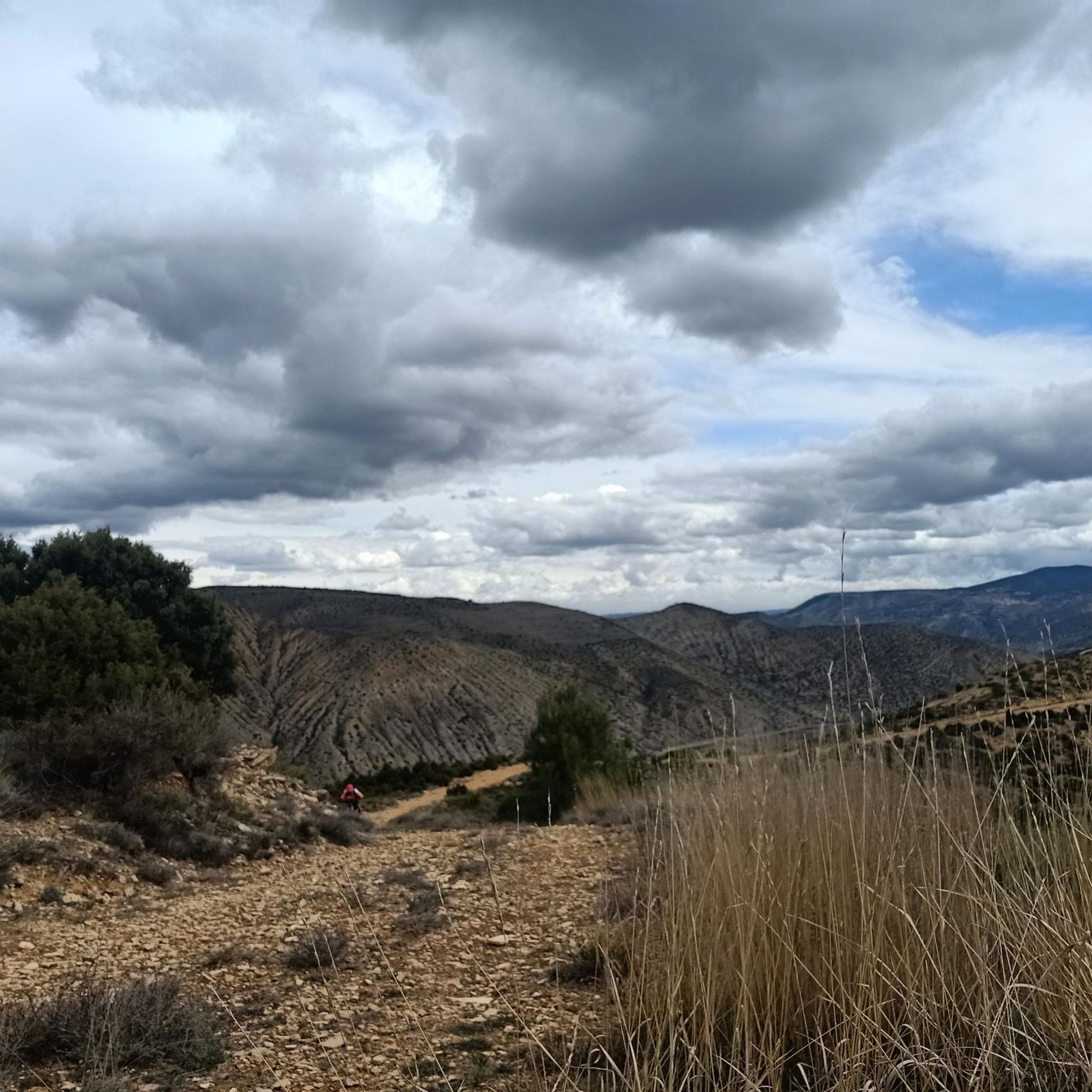
Road Cycling Routes around San Felices
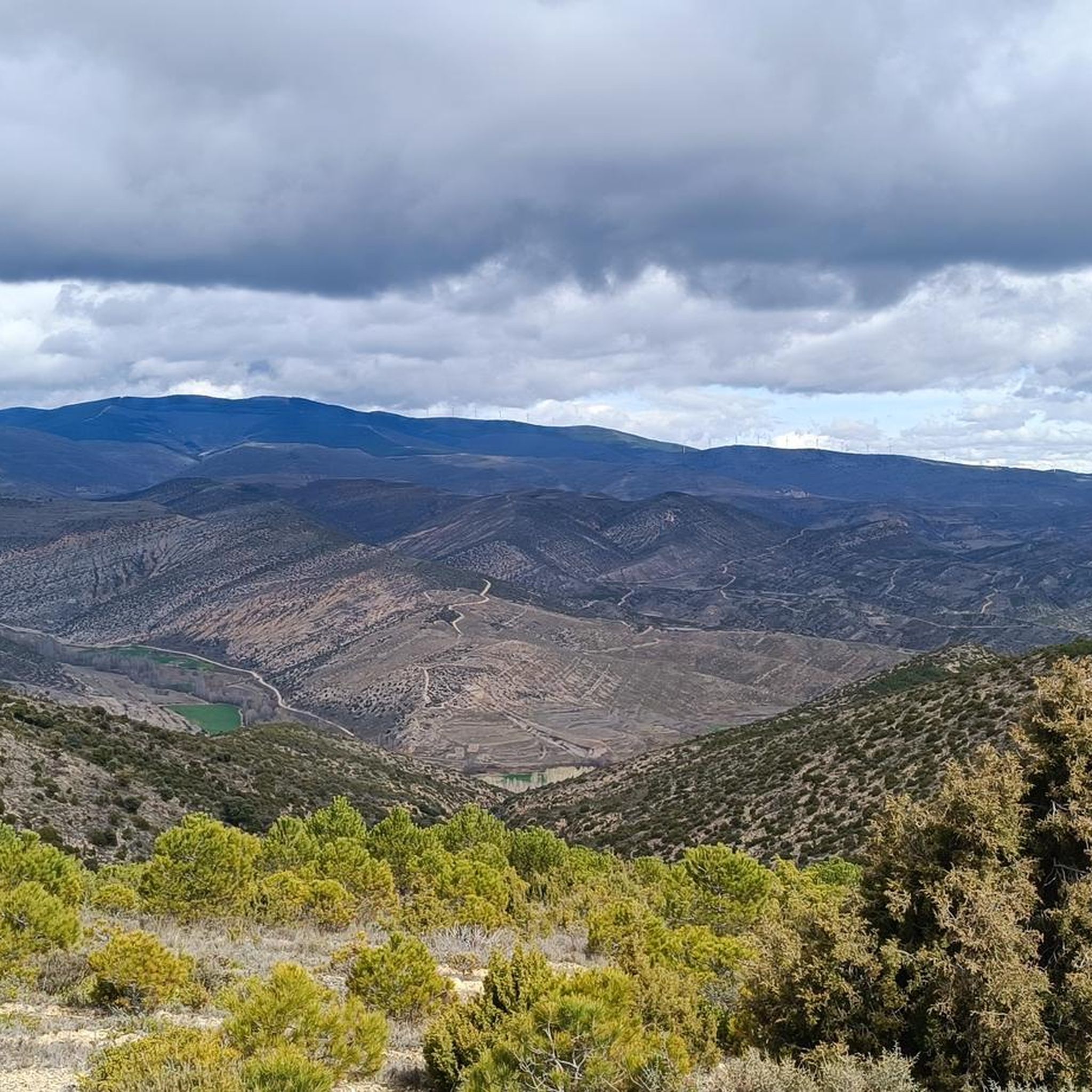
Road Cycling Routes around Cigudosa
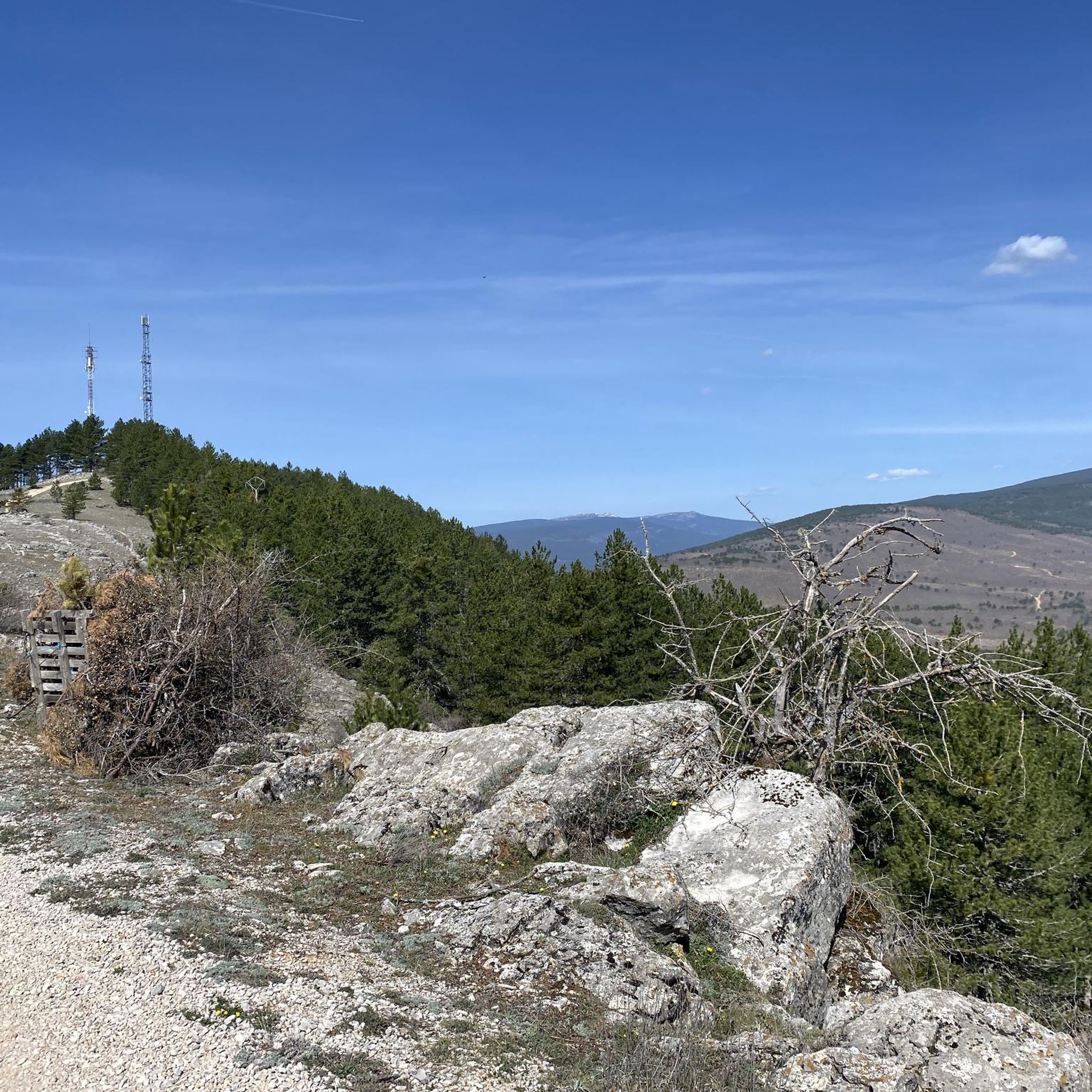
Road Cycling Routes around El Royo
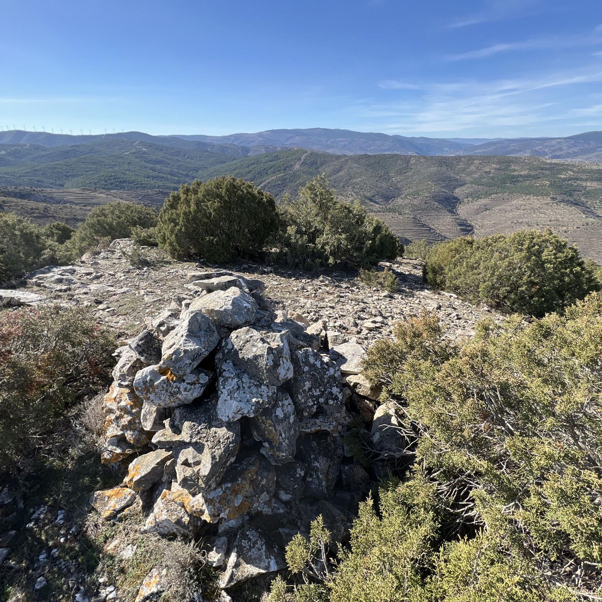
Road Cycling Routes around San Pedro Manrique

Road Cycling Routes around Valdeprado
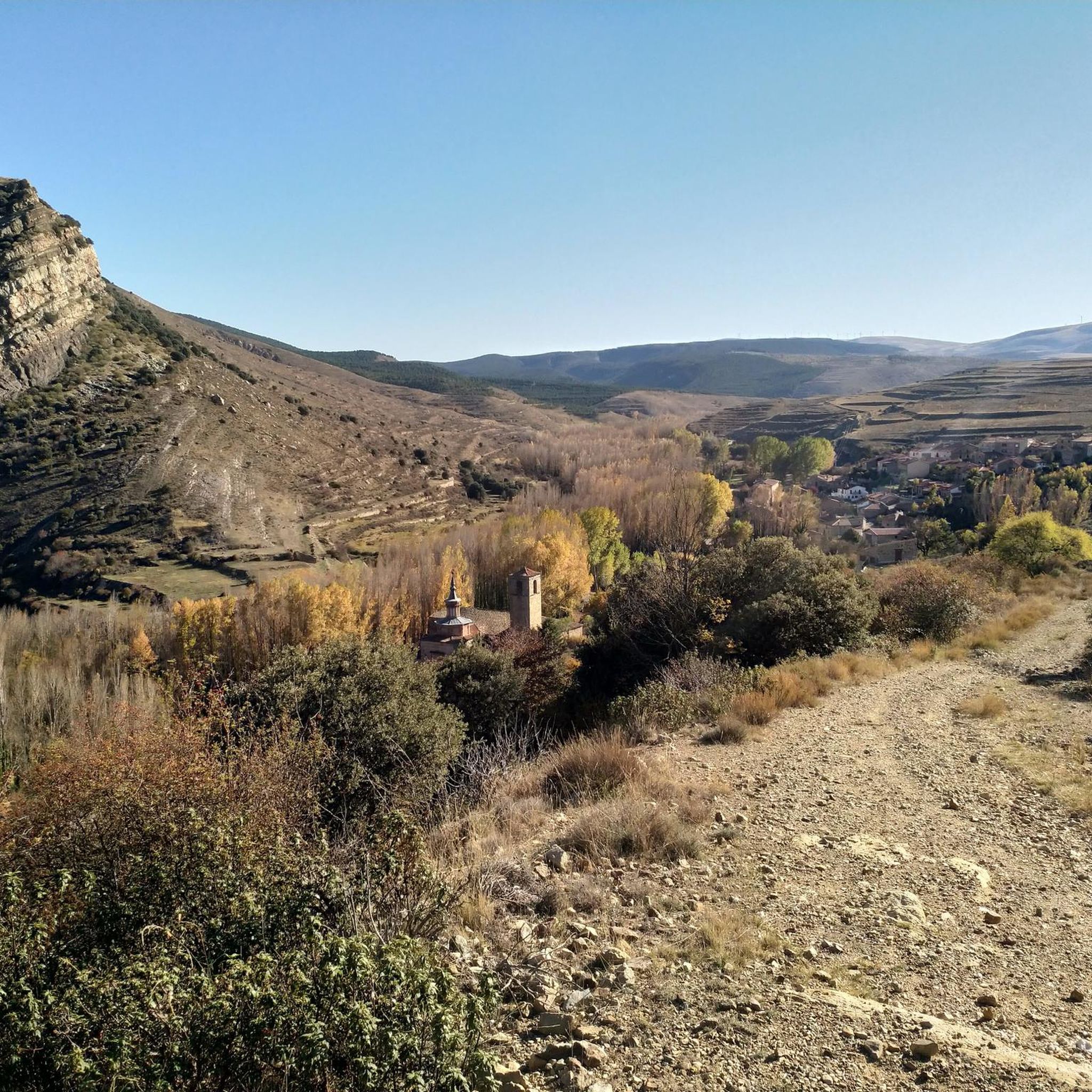
Road Cycling Routes around Villar Del Río
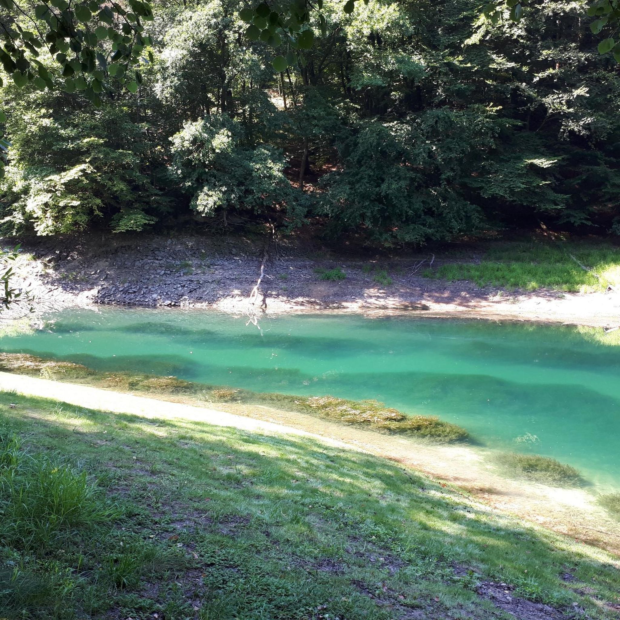
Road Cycling Routes around Valdelagua Del Cerro
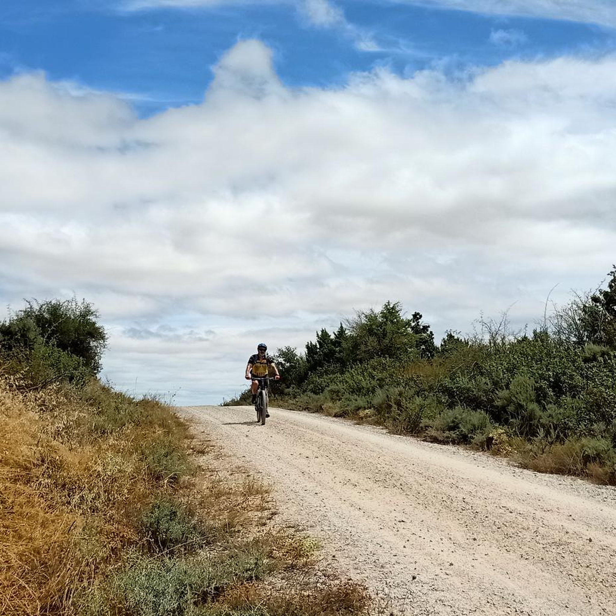
Road Cycling Routes around Trévago
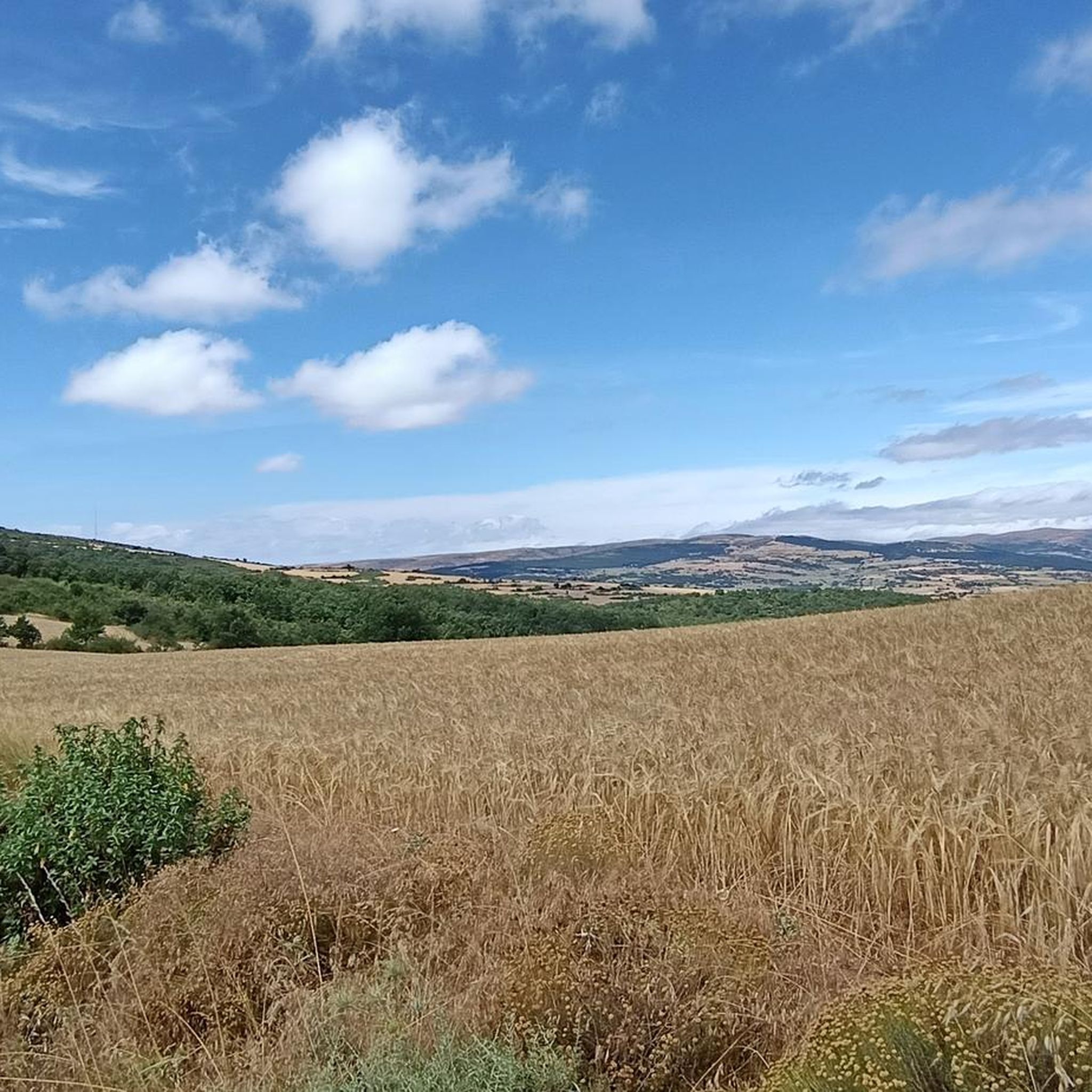
Road Cycling Routes around Magaña
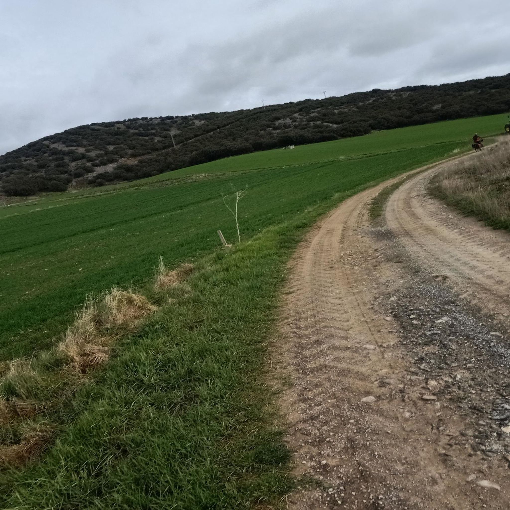
Road Cycling Routes around Fuentestrún
Other adventures around Tierras Altas Y Valle Del Tera


Tips from the Community

There is a fountain and a bar in the center of the village
0
0
Gothic church with a beautiful ribbed vault dedicated to the Virgin of the Pine
0
0

Small and pretty town, area with lots of interesting mountain bike trails
0
0

Good port; the beautiful landscape brings you
0
0
there is a fountain and bar in the square
1
0

Santa Cruz de Yanguas is a municipality in Soria in the Tierras Altas region, community of Castilla y León. During the Middle Ages it was part of the Community of Villa y Tierra de Yanguas. It is located in the Baos River basin, and has important forest and mycological resources. The municipal area is part of the Urbión Regional Reserve, with a large presence of deer, roe deer, wild boar and woodcock. Of its heritage, the Roman bridge that spans the bed of the Baos River, the church of the Santísima Trinidad (16th century) in Gothic style and the hermitage of the Virgen del Pilar stand out. As in the rest of the region, you can find dinosaur footprints (ichnites).
2
0
San Pedro Manrique is a municipality in Soria in the Tierras Altas region, in the community of Castilla y León. Its origin dates back to the Celts, Vascones, Iberians and Romans. With the passage of time, other neighboring towns such as Sarnago, Las Fuentes de San Pedro, Matasejún, Palacio de San Pedro, Taniñe, Valdenegrillos and Ventosa de San Pedro have been incorporated into the municipal area. San Pedro Manrique is well known for his particular way of celebrating San Juan Day. On the night of San Juan the well-known "paso del fuego" is carried out, in which the embers of a bonfire are stepped on by the town's natives, barefoot and carrying someone on their backs. Among its heritage, the hermitage of the Virgen de la Peña, the church of San Miguel, the remains of a castle on the outskirts and the ruins of the convent of San Pedro el Viejo stand out.
0
0
Fuentes de Magaña is a town in Soria in the Tierras Altas region, in the community of Castilla y León. During the Middle Ages it was part of the Community of Villa y Tierra de Magaña. Of its heritage, the church of the Immaculate Conception and the hermitage of San Sebastián stand out. Just 200 meters from the town, to the south, you can see some dinosaur footprints, in the area known as the Miraflores ravine.
0
0
Frequently Asked Questions
What kind of terrain can I expect when road cycling in Tierras Altas Y Valle Del Tera?
The region offers a diverse landscape. The Soria Highlands (Tierras Altas) feature rugged, mountainous terrain with significant elevation changes and challenging climbs, such as those found on the Piqueras and Santa Inés Pass Loop. In contrast, the Valle del Tera provides less strenuous options, often along paved roads beside the Tera River, making for a more moderate experience.
Are there road cycling routes suitable for beginners or those looking for an easier ride?
Yes, while many routes are challenging, there are options for easier rides. The region offers 2 easy routes and 15 moderate routes. For example, the Vinuesa – El Royo loop from El Royo is an easy route, offering a less demanding experience with beautiful scenery.
Where can I find challenging road cycling routes with significant climbs?
The Soria Highlands are ideal for challenging rides. Routes like the Piqueras and Santa Inés Pass Loop (113.9 km with 1,820m elevation gain) and the Sierra de Alcarama – Cornago Loop (123.7 km with over 2,000m elevation gain) traverse mountainous landscapes and offer considerable ascents, testing your endurance.
What natural features can I see while road cycling in Tierras Altas Y Valle Del Tera?
Road cycling routes often pass through areas of significant natural beauty. You can expect sweeping views of the Sierra Cebollera Natural Park, the Valles del Leza Biosphere Reserve, and the incredible peaks of Urbión. While not directly on all road routes, the broader region features unique ecosystems, forests, and the Tera River, enhancing the scenic experience. You might also spot the Cebollera Lagoon.
Are there any historic villages or landmarks to explore along the road cycling routes?
Absolutely. Many routes weave through ancient and historic villages, providing a cultural immersion. Notable examples include the Yanguas Historic Village and the area around San Pedro Manrique. You might also encounter historic structures like the Castle of la Nava del Marqués de Magaña or the Hinojosa de la Sierra Castle.
Are there many circular road cycling routes available in the region?
Yes, many of the road cycling routes in Tierras Altas Y Valle Del Tera are designed as circular loops. This allows cyclists to start and finish in the same location, making logistics easier. Examples include the Tierra Altas alta de Sória y San Pedro Manrique — circular desde Yaguas and the San Pedro Manrique from Magaña — circular via Santa Cruz de Yanguas and Castilfrío de la Sierra.
What is the best time of year to go road cycling in Tierras Altas Y Valle Del Tera?
The region is generally best for road cycling during the spring and autumn months when temperatures are milder and the landscapes are vibrant. Summer can be warm, especially in the valleys, while winter may bring snow to higher elevations, making some passes inaccessible. Always check local weather conditions before planning your ride.
Are the road cycling routes in Tierras Altas Y Valle Del Tera suitable for families?
While the region offers diverse terrain, many routes, especially in the Soria Highlands, involve significant elevation changes and can be quite challenging. Families with younger children or those seeking very gentle rides might find the options in the Valle del Tera more suitable, as they tend to be less strenuous and often follow paved roads. Always check the difficulty grade and elevation profile of a route before setting out with family.
Can I bring my dog on road cycling routes in Tierras Altas Y Valle Del Tera?
Road cycling, by its nature, is generally not suitable for dogs, especially on longer or faster routes, due to safety concerns for both the dog and the cyclist, and the potential for paw injury on paved surfaces. If you wish to bring your dog, consider alternative activities like hiking or gravel biking on designated trails where it is safe and permitted.
Is parking readily available near road cycling routes in Tierras Altas Y Valle Del Tera?
Parking availability varies by starting point. Many routes begin in or near villages where street parking or small public car parks may be available. For routes starting in more remote areas, designated parking might be limited. It's advisable to check the specific route details on komoot for information on recommended starting points and parking options.
How accessible are the road cycling routes by public transport?
Public transport options in the Tierras Altas Y Valle Del Tera region, particularly for reaching specific road cycling starting points, can be limited. While some larger towns may have bus connections, reaching more remote trailheads with a bicycle might be challenging. Planning your trip with a private vehicle is often the most convenient way to access the diverse range of routes.
Are there places to stop for refreshments or find accommodation along the road cycling routes?
Yes, many road cycling routes pass through or near historic villages where you can find local cafes, restaurants, and small shops for refreshments. Accommodation options, ranging from guesthouses to rural hotels, are also available in these villages, making it possible to plan multi-day tours or find a comfortable base for your cycling adventures.
What do other road cyclists say about their experience in Tierras Altas Y Valle Del Tera?
The road cycling experience in Tierras Altas Y Valle Del Tera is highly rated by the komoot community, with an average score of 5.0 stars from over 4 reviews. More than 270 road cyclists have used komoot to explore the region's varied terrain, often praising the challenging climbs, stunning panoramic vistas, and the charm of the historic villages encountered along the way.
How many road cycling routes are available in Tierras Altas Y Valle Del Tera?
There are over 20 road cycling routes available in Tierras Altas Y Valle Del Tera. This includes a mix of difficulties, with 2 easy routes, 15 moderate routes, and 7 difficult routes, ensuring options for various fitness levels and preferences.
Most popular routes around Tierras Altas Y Valle Del Tera
Most popular attractions around Tierras Altas Y Valle Del Tera

Get inspired with the komoot mobile app


Didn’t find what you were looking for?
Check out more Road cycling routes throughout Tierras Altas Y Valle Del Tera below and find the perfect route in your destination.
Explore more
Browse the best Road cycling routes in other regions.
