The best MTB trails in Περιφερειακή Ενότητα Χανίων
4.6
(234)
870
riders
78
rides
Mountain biking in Περιφερειακή Ενότητα Χανίων offers diverse terrain across its varied landscape. The region is characterized by the White Mountains, which feature peaks over 2,000 meters, along with numerous gorges and plateaus. Coastal areas provide additional riding opportunities, connecting inland features with the sea. This combination of mountainous and coastal environments creates a range of conditions suitable for mountain biking.
Best mountain bike trails in Περιφερειακή Ενότητα Χανίων
- The most popular mountain bike trail is Georgioupolis Harbor – Lake…
Last updated: August 11, 2026
4.6
(23)
70
riders
50.0km
03:05
620m
620m
Moderate mountain bike ride. Good fitness required. Suitable for all skill levels.
4.9
(15)
69
riders
Hard mountain bike ride. Very good fitness required. Suitable for all skill levels.

Sign up for free
4.4
(7)
40
riders
24.6km
02:03
360m
360m
Moderate mountain bike ride. Good fitness required. Suitable for all skill levels.
4.8
(10)
39
riders
42.4km
03:15
720m
720m
Moderate mountain bike ride. Good fitness required. Suitable for all skill levels.
4.9
(8)
28
riders
Moderate mountain bike ride. Good fitness required. Suitable for all skill levels.
5.0
(4)
24
riders
46.3km
03:11
790m
790m
Moderate mountain bike ride. Good fitness required. Suitable for all skill levels.
5.0
(4)
22
riders
44.0km
03:04
770m
770m
Moderate mountain bike ride. Good fitness required. Suitable for all skill levels.
4.6
(10)
32
riders
Moderate mountain bike ride. Good fitness required. Suitable for all skill levels.
4.5
(12)
29
riders
22.4km
01:37
470m
470m
Moderate mountain bike ride. Good fitness required. Suitable for all skill levels.
10
riders
41.9km
03:24
930m
930m
Hard mountain bike ride. Very good fitness required. Suitable for all skill levels.
Get access to more routes and recommendations from other explorers.
Sign up for free
Already have an account?
Our route recommendations are based on thousands of hikes, rides, and runs completed by other people on komoot.
Start today with a free account
Your next adventure awaits.
Login or Signup
Popular around Περιφερειακή Ενότητα Χανίων
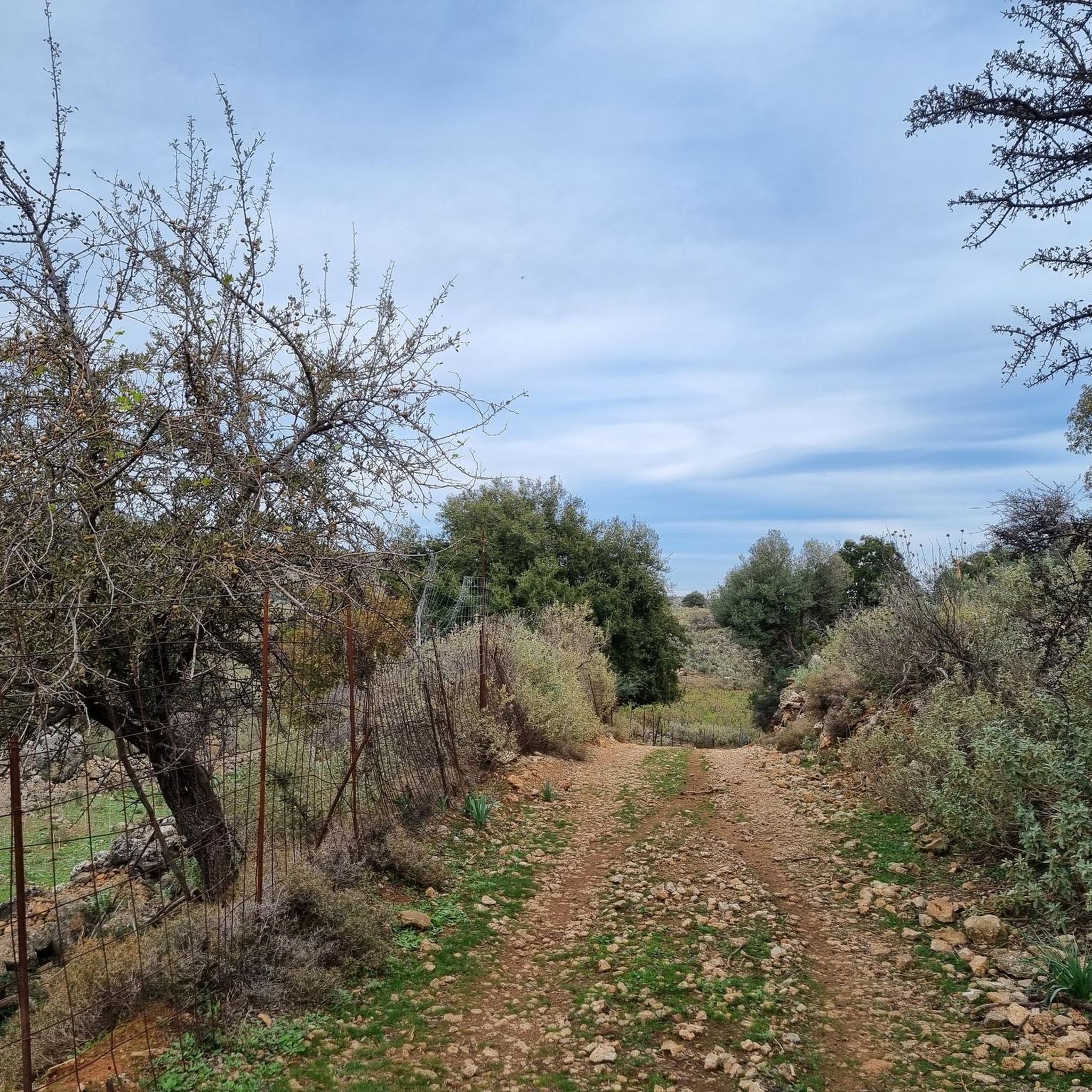
MTB Trails in Στύλου - Κατωχωρίου Δήμου Αρμένων Και Κεραμειών
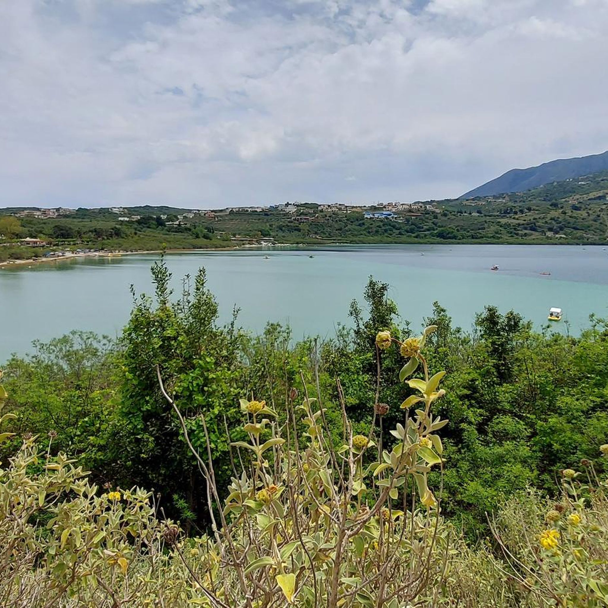
MTB Trails around Λίμνη Κουρνά Δήμου Γεωργιούπολης
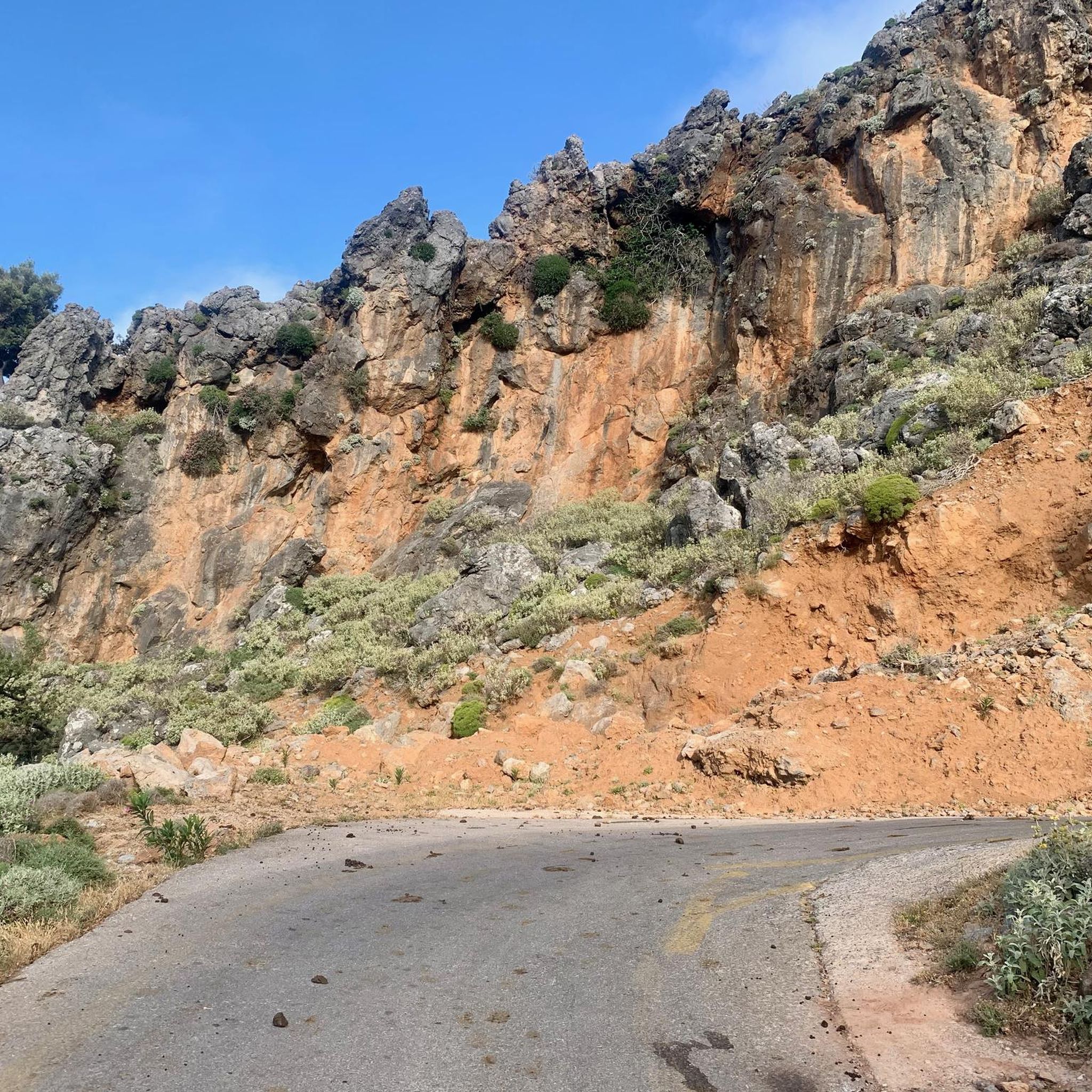
MTB Trails in Περισυνάκη - Αγριοκεφάλα - Μανίκα Δήμου Σφακίων
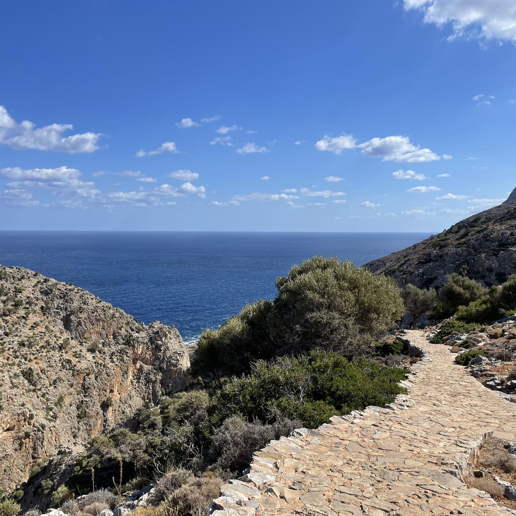
MTB Trails in Σταυρό Χορδάκι Δήμου Ακρωτηρίου
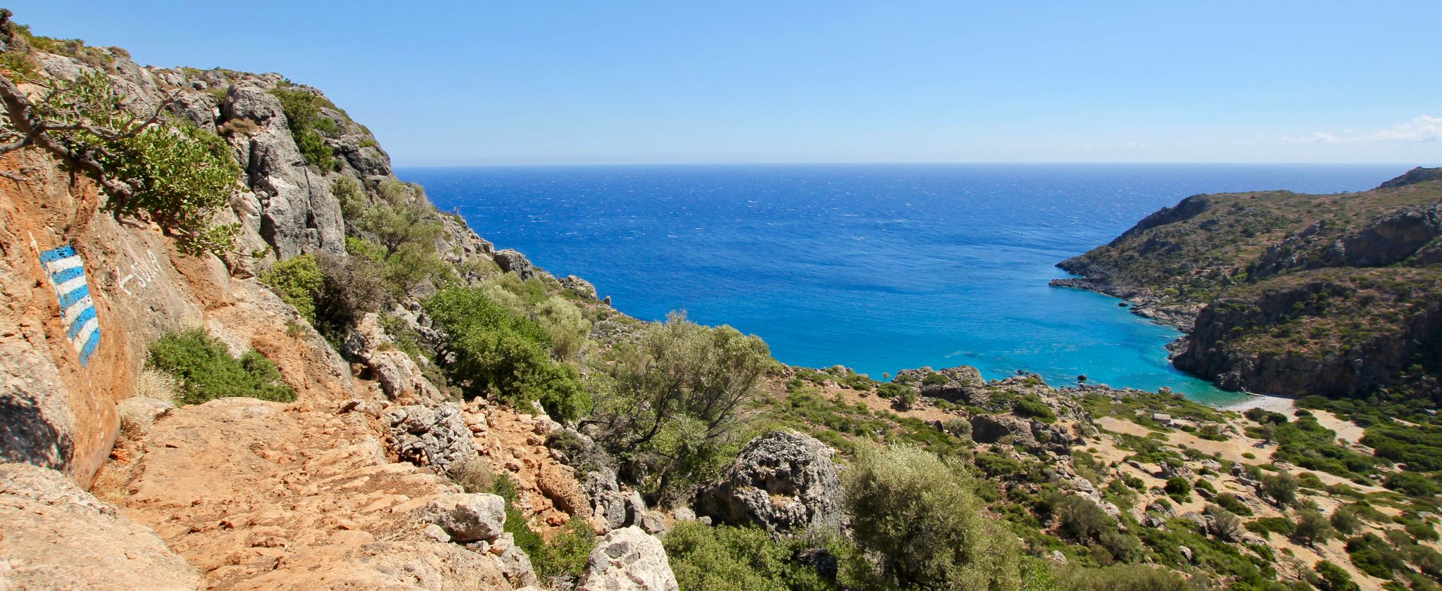
Lonely beaches & deep gorges — hiking in the south of Crete
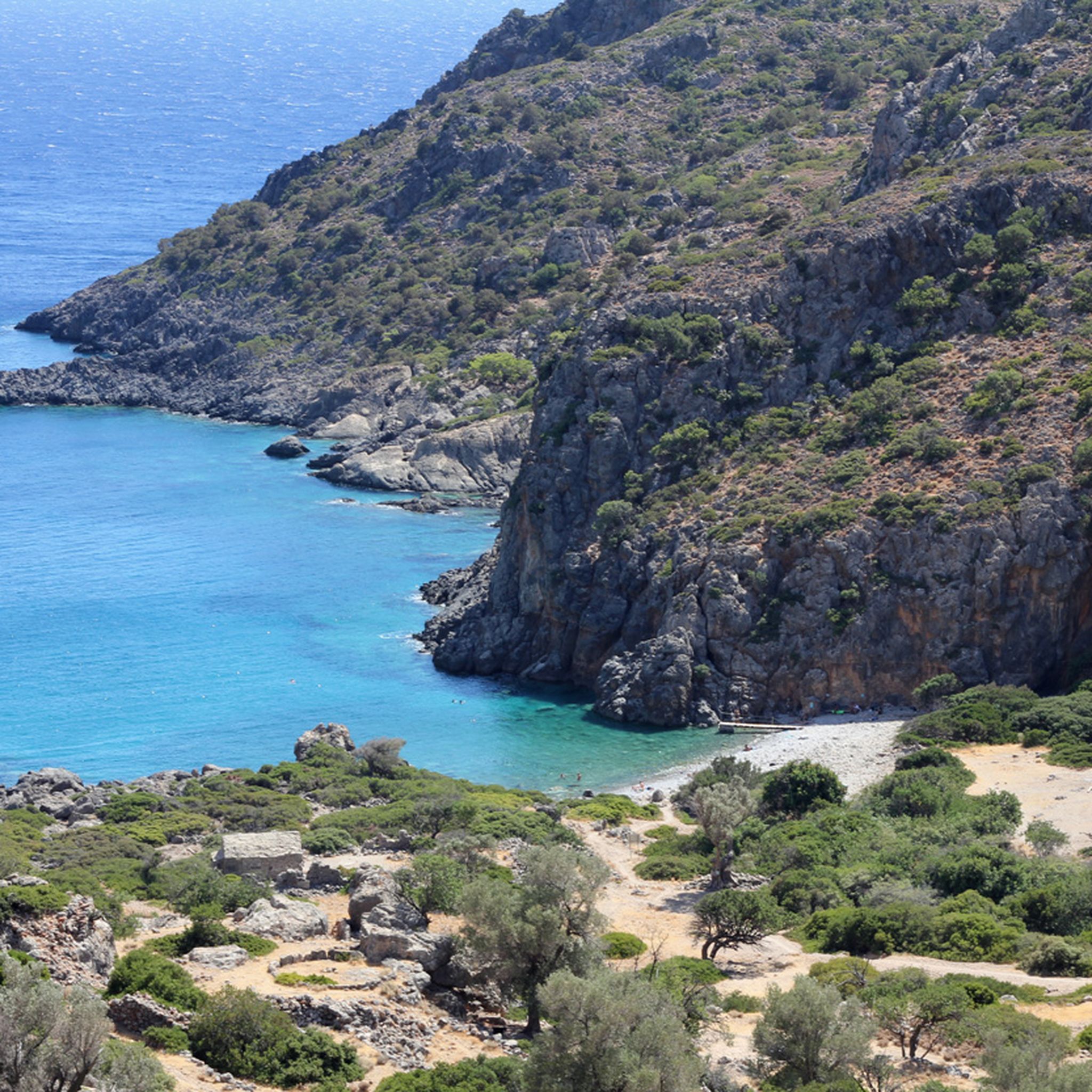
Hiking in Περιφερειακή Ενότητα Χανίων
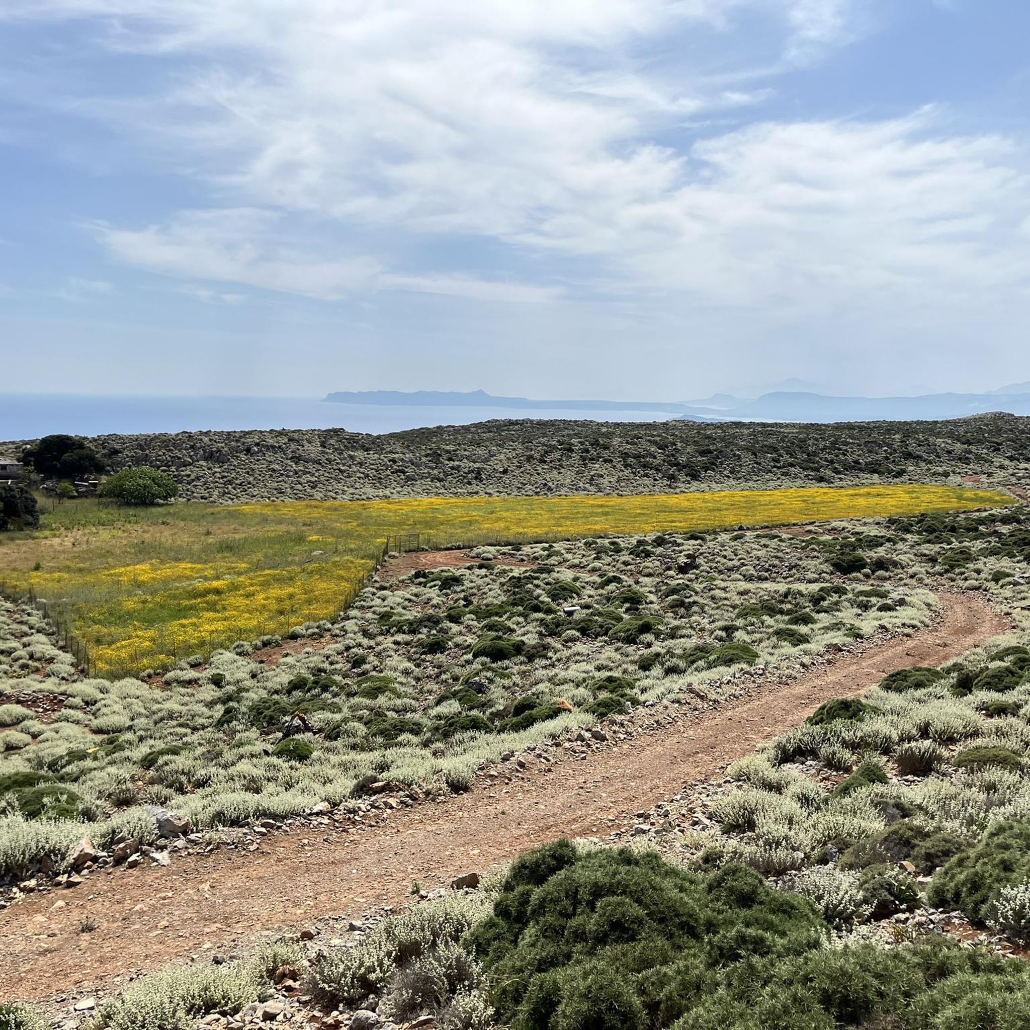
Running Trails in Περιφερειακή Ενότητα Χανίων
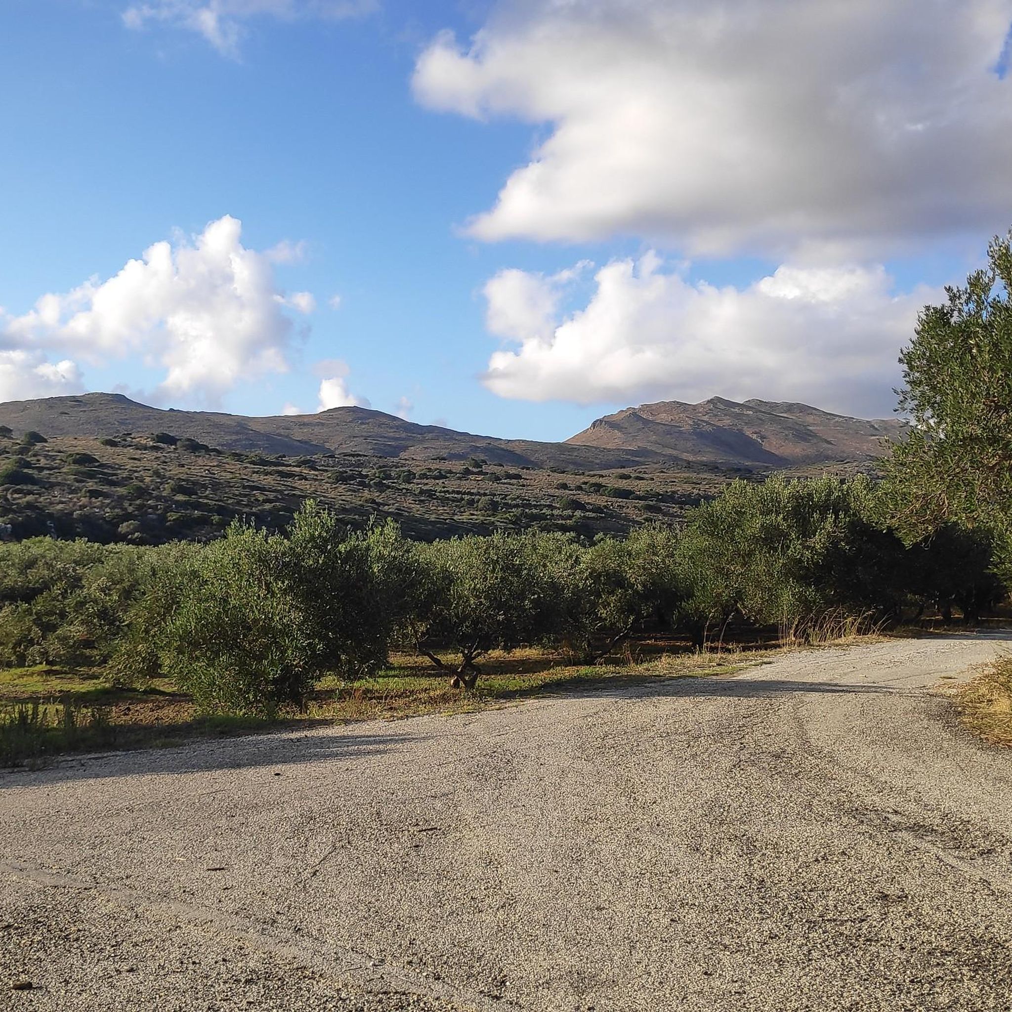
Road Cycling Routes in Περιφερειακή Ενότητα Χανίων
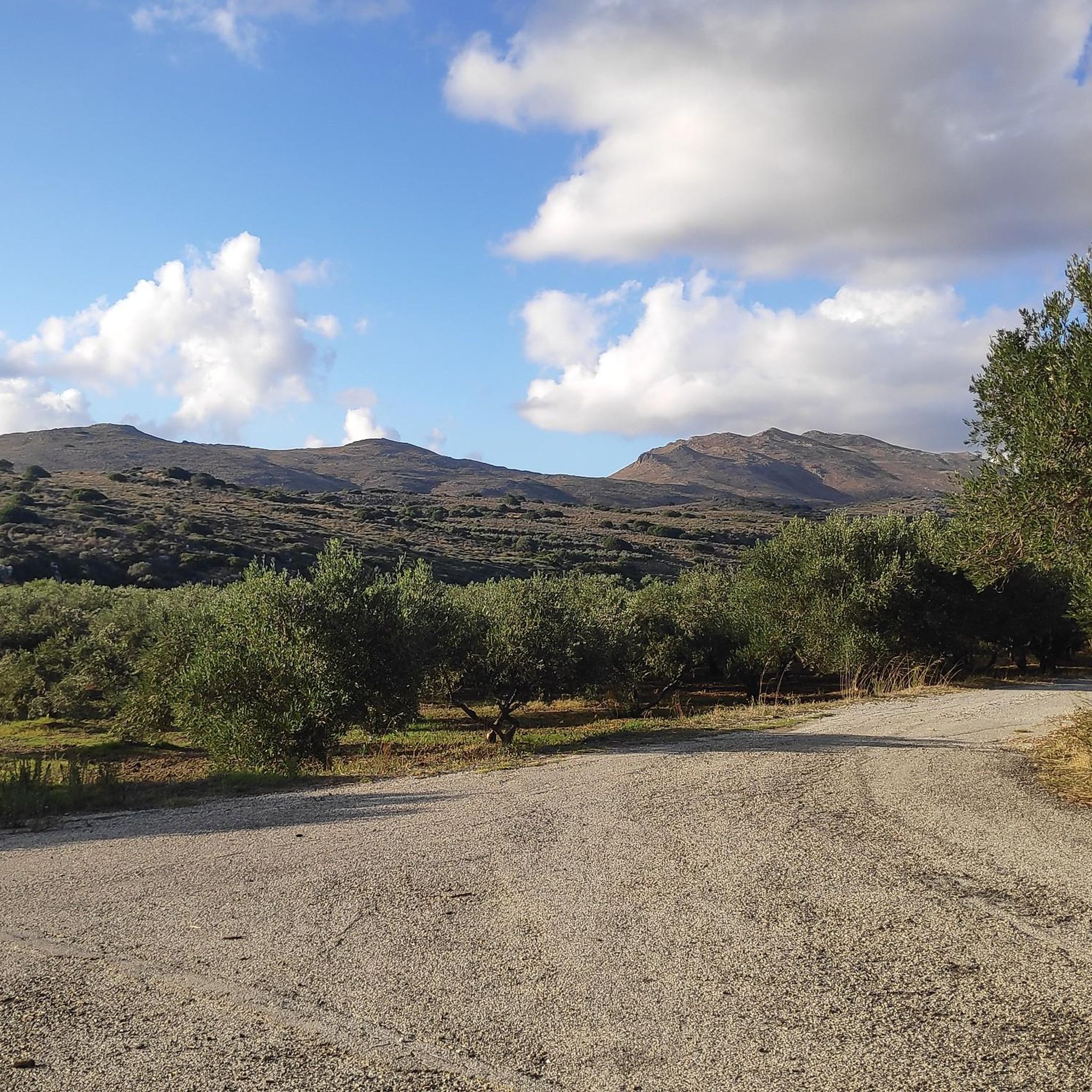
Cycling in Περιφερειακή Ενότητα Χανίων
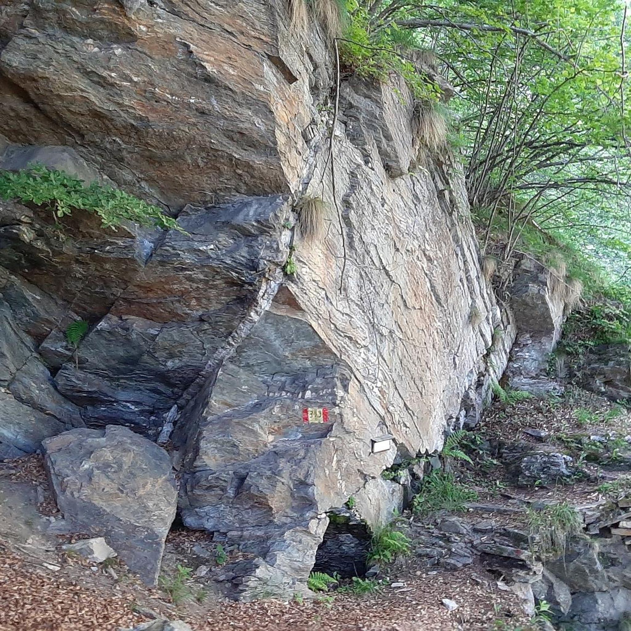
Mountain Hikes in Περιφερειακή Ενότητα Χανίων
Other adventures in Περιφερειακή Ενότητα Χανίων

Tips from the Community

Lake Kournas is today the only large natural lake in Crete and is located in an enchanting landscape. Surrounded by high mountains and olive groves. It is located next to the village of Kournas, 2.5 km southeast of Georgioupolis beach, 43 km east of Chania and 20 km west of Rethymnon. Lake Kournas and its surroundings form a very important ecosystem for Greece. Kournas is one of the very few regions of Crete where vast amounts of fresh water have been accumulated over the years. Therefore, it is protected under the Natura 2000 program. On one side of the lake are cafes and restaurants with a view of the lake. Adjacent to the cafes, small white sandy beaches form in the summer when the water level drops. Visitors can swim on these beaches and rent sun umbrellas. Visitors can also rent pedal boats and kayaks here. It is an ideal choice for the afternoon when the water takes on a wonderful color and is calm. The lake was formed by the accumulation of groundwater coming from the mountains. The water bubbles up from a spring called Amati or Mati (it means "eye"), which is above the lake's water level in the summer, while it is hidden below the surface in the winter. A second spring is below the surface all year round. The lake is small, round, and covers an area of 570 "morgen" (approx. 2.3 km²), has a maximum depth of 22.5 meters, is 1080 meters long and 880 meters wide. In summer, there are 7.5 million cubic meters of water in the lake. The lake is fed by the Delfinas river. Source: cretanbeaches.com/de/str%C3%A4nde-in-kreta/str%C3%A4nde-auf-chania-west-kreta/kournas-see-chania
2
0

This imposing stone church reflects the prosperity the village enjoyed during the late nineteenth and early twentieth centuries. Built from local limestone, its simple yet elegant façade is complemented by a separate bell tower and finely carved architectural details. One feature easily overlooked is the series of long black iron tie bars fixed across the front wall. These structural braces were installed to strengthen the masonry against the effects of earthquakes, a common requirement for large stone buildings in Crete. Rather than detracting from the church, they have become part of its character, illustrating the practical adaptations needed to preserve historic buildings on a seismically active island. Whether you stop to admire its architecture or to explore the village, the Church of Agios Nikolaos is one of the principal landmarks of Vamos and well worth a visit.
0
0
This restored Minoan tholos tomb dates from the Bronze Age and belongs to a burial tradition unique to southern and central Crete. Constructed from carefully laid limestone blocks, the tomb is approached by a narrow, sunken passage leading to a circular burial chamber, where generations of the same community were interred over many years. The massive stone doorway and corbelled construction demonstrate the skill of Minoan builders more than 3,500 years ago. These tombs were not isolated graves but places of remembrance, reflecting the importance of family, ancestry, and community in Minoan society. Standing at the entrance, it is remarkable to consider that this quiet chamber has survived earthquakes, changing civilisations, and millennia of history. It offers a direct connection to one of Europe's earliest advanced cultures and is a worthwhile stop for anyone exploring Crete's archaeological heritage.
0
0

The Byzantine Walls of Chania are a remarkable reminder of the city’s early fortifications, long before the grand Venetian walls were built. These ancient remains are mainly found on Kastelli Hill, overlooking the Old Harbor, where the Byzantine acropolis once stood proudly. Dating largely to the 7th century AD, the Byzantine fortifications were constructed over earlier Hellenistic defenses, reusing stones and architectural fragments from Ancient Kydonia—a city damaged by several earthquakes. As a result, the walls not only served as protection but also embodied centuries of Chania’s evolving history. https://chaniaexplorer.com/byzantine-walls/
1
0

The history of Georgioupolis dates back to antiquity, when the region was settled by the Minoans and later by the Romans. However, the present town was only founded in the late 19th century and named after Prince George of Greece, who was High Commissioner of Crete at the time. Originally a small fishing village, Georgioupolis began to develop as a tourist destination in the 1960s, thanks to its idyllic location and the natural beauty of the surrounding area.
3
1
The lagoon, located east of Balos Bay (Όρμος Μπάλος) between the Gramvousa Peninsula and the adjacent Cape Tigani (Ακρωτήρι Τηγάνι, meaning "pan") to the west, has a northern connection to the open sea at Gramvousa Bay (Όρμος Γραμβούσας), to which the lagoon technically belongs. The Cape Tigani Peninsula, approximately one kilometer long and 700 meters wide, rising to a height of 117 meters, is connected to the mainland at Balos only by a shallow, roughly 50-meter-wide isthmus. The lagoon extends east of this land bridge with an east-west extent of about 400 meters and approximately 600 meters south from the open sea.
2
0
Balos Bay lies on the western side of the now uninhabited Gramvousa peninsula. The peninsula, four kilometers wide in the south, stretches 12 kilometers north from the last settlement, Kaliviani, to Cape Vouxa, the northwesternmost point of Crete. At Balos, five kilometers southwest of Cape Vouxa, Gramvousa narrows to about one kilometer in width.
2
0
The Rodopos Peninsula, approximately 18 kilometers long, juts out into the Cretan Sea like an outstretched finger, measuring about 5 kilometers at its widest point. The peninsula is located in the western part of Crete's north coast. To its west lies the Bay of Kissamos and, about 15 kilometers away, the Gramvousa Peninsula with its offshore rocky islets of Imeri Gramvousa and Agria Gramvousa. To the east of Rodopos stretches the Bay of Chania. A mountain ridge runs through the peninsula from north to south, its highest peaks being Onichas (748 meters) and Spitakiou Korfi (646 meters). The northwesternmost point is Cape Spatha, which also marks the northernmost extent of the island of Crete.
2
0
Frequently Asked Questions
How many mountain bike trails are available in Περιφερειακή Ενότητα Χανίων?
There are nearly 80 mountain bike trails recorded in Περιφερειακή Ενότητα Χανίων on komoot, offering a wide range of options for different skill levels. This includes 10 easy routes, 53 moderate routes, and 16 difficult routes.
What is the best time of year for mountain biking in Περιφερειακή Ενότητα Χανίων?
The spring and autumn months are generally ideal for mountain biking in Περιφερειακή Ενότητα Χανίων. During these seasons, the weather is typically milder, avoiding the intense heat of summer and the heavier rains of winter, making for more comfortable and enjoyable rides across the region's diverse terrain.
Are there any family-friendly mountain bike trails in Περιφερειακή Ενότητα Χανίων?
Yes, there are 10 easy mountain bike routes in Περιφερειακή Ενότητα Χανίων that are suitable for families or beginners. These trails offer a gentler introduction to the region's beautiful landscapes without overly challenging terrain.
What kind of terrain can I expect on mountain bike trails in Περιφερειακή Ενότητα Χανίων?
The region offers a highly varied terrain, from the high peaks of the White Mountains with their plateaus and gorges, to scenic coastlines. You can expect a mix of challenging ascents and descents, technical sections, and smoother paths, often combining mountainous features with coastal views. The area is known for its dramatic turns and diverse landscapes.
Are there mountain bike trails that feature circular routes?
Yes, many mountain bike trails in Περιφερειακή Ενότητα Χανίων are designed as loops. For example, the Georgioupolis Harbor – Lake Kournas loop from Karga is a popular moderate route that takes you through coastal areas and past the freshwater Lake Kournas. Another option is the Chapel of Saint George – View of Balos Beach loop from Kavonisi, offering coastal and elevated views.
What are some notable natural attractions or landmarks I can see along mountain bike trails?
Many trails offer access to stunning natural beauty. You might encounter the unique geological formations of the Komolithoi near Potamida Kissamou, or ride near the shores of Lake Kournas, the island's only natural freshwater lake. The region is also famous for its numerous gorges, such as the Samaria Gorge, and impressive mountain plateaus like Omalos. Some routes, like the Chapel of Saint George – View of Balos Beach loop from Kavonisi, even offer views of iconic spots like Balos Beach.
Are there any historical sites or cultural landmarks accessible by mountain bike?
Yes, the region's rich history means you can combine your ride with cultural exploration. You might pass by historical sites such as the Venetian City Walls, Chania, or the Firkas Bastion. Some routes may also lead near monasteries or traditional villages, allowing you to experience the local culture.
What do other mountain bikers enjoy most about the trails in Περιφερειακή Ενότητα Χανίων?
The mountain bike trails in Περιφερειακή Ενότητα Χανίων are highly rated by the komoot community, with an average score of 4.7 stars from over 190 reviews. Riders often praise the diverse and challenging terrain, the breathtaking scenic views, and the opportunity to explore both mountainous landscapes and beautiful coastlines. The combination of physical activity and natural beauty is frequently highlighted.
Are there any difficult mountain bike routes for experienced riders?
Absolutely. For experienced riders seeking a challenge, there are 16 difficult mountain bike routes available. An example is the Bridge Over Koiliaris River – Footbridge Over the River loop from Karga, which is a demanding 30.7-mile (49.4 km) path featuring river crossings and more technical terrain.
Can I find mountain bike trails that offer views of the sea?
Many trails in Περιφερειακή Ενότητα Χανίων connect the inland mountainous areas with the stunning coastline, offering spectacular sea views. Routes like the View of Souda Bay and Harbor – Ruins of the Byzantine Wall loop from Souda provide panoramic vistas of the Aegean Sea and its bays.
Are there any trails that pass through gorges or river valleys?
Yes, the region is famous for its numerous gorges and river valleys, and some mountain bike trails incorporate these features. The Canal of Georgioupolis – Bridge Over Koiliaris River loop from Karga, for instance, takes you along river areas, offering lush scenery and unique riding experiences.
What is the typical elevation gain on mountain bike trails in Περιφερειακή Ενότητα Χανίων?
Given the mountainous nature of the region, many trails feature significant elevation changes. For example, the difficult Mountainbike loop from Gerani involves an elevation gain of over 930 meters, providing a substantial workout and rewarding views. Even moderate routes can have several hundred meters of ascent.
Most popular routes in Περιφερειακή Ενότητα Χανίων
Most popular attractions in Περιφερειακή Ενότητα Χανίων

Get inspired with the komoot mobile app


Didn’t find what you were looking for?
Check out more MTB trails throughout Περιφερειακή Ενότητα Χανίων below and find the perfect route in your destination.
Explore more
Browse the best MTB trails in other regions.
