The best road cycling routes around Etang De La Poiteviniere
4.3
(3)
78
riders
31
rides
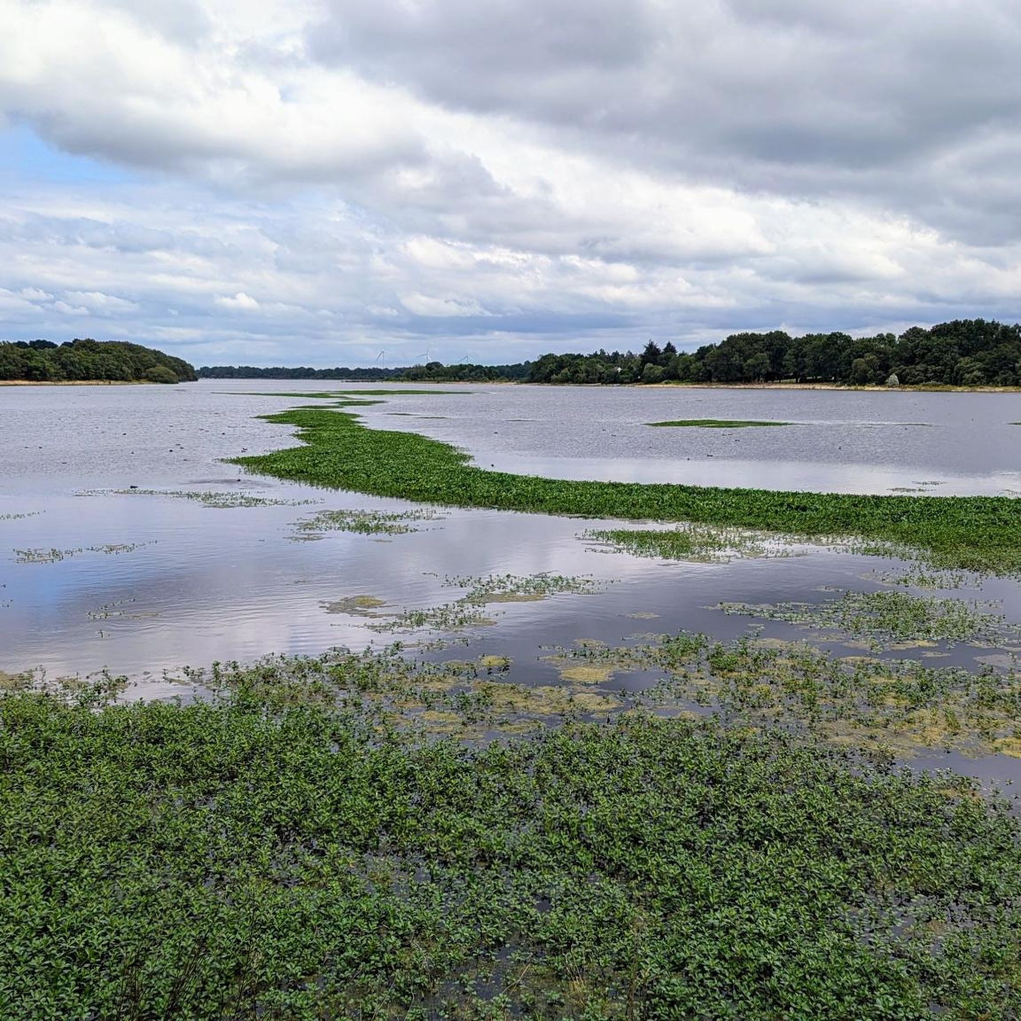
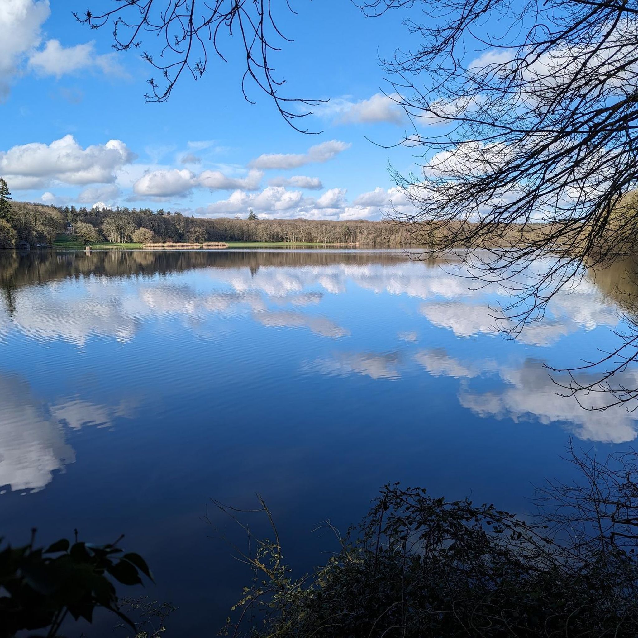
Road cycling routes around Etang De La Poiteviniere traverse a landscape characterized by an expansive lake and surrounding extensive forests. The region, including the nearby "Riante Vallée," offers a mix of wooded areas, ponds, and rolling countryside. Road cyclists can expect peaceful roads through natural settings, with gentle elevation changes.
Best road cycling routes around Etang De La Poiteviniere
- The most popular road cycling route is The blue train – Le Moulin Pelé loop from Bonnœuvre, a 30.4 miles…
Last updated: May 24, 2026
4.0
(1)
7
riders
49.1km
02:01
270m
270m
Moderate road ride. Good fitness required. Some segments of this route may be unpaved and difficult to ride.
8
riders
32.9km
01:21
190m
190m
Easy road ride. Great for any fitness level. Mostly well-paved surfaces and easy to ride.

Sign up for free
4.0
(1)
3
riders
46.6km
02:04
290m
290m
Moderate road ride. Good fitness required. Mostly well-paved surfaces and easy to ride.
3
riders
48.0km
02:22
310m
310m
Moderate road ride. Good fitness required. Some segments of this route may be unpaved and difficult to ride.
6
riders
Moderate road ride. Good fitness required. Mostly well-paved surfaces and easy to ride.
Get access to more routes and recommendations from other explorers.
Sign up for free
Already have an account?
Our route recommendations are based on thousands of hikes, rides, and runs completed by other people on komoot.
Start today with a free account
Your next adventure awaits.
Login or Signup


Tips from the Community


Medieval chapel. 11th century according to the sign. Later according to other sources. You will find a bakery nearby and a water tap in the adjoining cemetery, at the entrance on Rue Vieillevigne.
0
0

A beautiful cycle climb but unfortunately does not leave much space to stop and enjoy the magnificent view that presents itself to you.
0
0
A very clear view of the Loire and its banks but unfortunately, not very safe by bike.
0
0

Take the time to visit. With a magnificent view of the Loire.
0
0

A vast industrial forge site dating back to the 17th century. The natural setting is also remarkable, with the dam on the Don River creating a splendid reservoir that supplied the forges. A favorite is Rue des Rochers Bleus and its hanging pine tree.
1
0

The road has just been converted into a chaucidou. The bridge has become much more pleasant to cross.
0
0
Frequently Asked Questions
How many road cycling routes are available around Etang De La Poiteviniere?
There are over 30 road cycling routes available around Etang De La Poiteviniere, catering to various skill levels. You'll find a good mix of easy and moderate routes to explore the region's natural beauty.
What is the typical terrain and difficulty for road cycling in this region?
The terrain around Etang De La Poiteviniere is characterized by extensive forests, the large lake, and rolling countryside. Most routes feature gentle elevation changes, making them accessible. You'll find 9 easy routes and 22 moderate routes, offering varied experiences through natural settings and local villages.
Are there road cycling routes suitable for beginners or families?
Yes, there are several easy road cycling routes perfect for beginners or families. For instance, The blue train loop from Bonnœuvre is an easy 20.1-mile path offering a scenic ride through tranquil natural environments. Another option is the Roadbike loop from Pannecé, an easy 15.6-mile route.
What kind of elevation can I expect on road cycling routes around Etang De La Poiteviniere?
The road cycling routes in this region generally feature gentle to moderate elevation changes. For example, a moderate route like The blue train – Le Moulin Pelé loop from Bonnœuvre covers about 267 meters (876 feet) of ascent over 30.4 miles, while an easy route like The blue train loop from Bonnœuvre has around 185 meters (607 feet) of ascent over 20.1 miles. This makes for enjoyable rides without overly strenuous climbs.
Are there any notable landmarks or points of interest along the road cycling routes?
While specific attractions directly on the routes are not detailed, the region itself offers beautiful natural landmarks. You'll cycle through extensive forests surrounding the 78-hectare Etang de la Poiteviniere, and routes often pass through the 'Riante Vallée' near Riaillé, which features the Provostière Pond, a classified Natura 2000 ecological complex. The routes also lead through charming local villages, offering glimpses of rural French life.
What is the best time of year to go road cycling in this region?
The region's unspoiled natural beauty, with its extensive forests and tranquil landscapes, is enjoyable throughout the warmer months. Spring and autumn offer pleasant temperatures and vibrant scenery. Summer provides longer daylight hours, perfect for extended rides, though it can be warmer. The shaded roads through the forests can offer some respite during hotter days.
Where can I find parking for my road cycling trip around Etang De La Poiteviniere?
While specific parking locations for cyclists are not detailed, the village of Riaillé, just a short drive from Etang de la Poiteviniere, serves as a convenient base. It's likely you'll find public parking options there or at various starting points of routes in the surrounding rural areas. Always check local signage for parking regulations.
Are there circular road cycling routes available?
Yes, many of the road cycling routes around Etang De La Poiteviniere are designed as loops, allowing you to start and end at the same point. Examples include The blue train – Le Moulin Pelé loop from Bonnœuvre and Saint-Denis Church of Candé – Public Toilets of Candé loop from Bonnœuvre, providing convenient round trips.
What amenities are available near the cycling routes, like cafes or restaurants?
The village of Riaillé, located very close to Etang de la Poiteviniere, offers local amenities including opportunities for shopping and dining. You can find cafes, pubs, and restaurants there to refuel before or after your ride. Other smaller villages along the routes may also offer local establishments.
What do other cyclists say about road cycling around Etang De La Poiteviniere?
The road cycling routes in Etang De La Poiteviniere are highly rated by the komoot community, with an average score of 4.5 stars from over 2 reviews. Cyclists often praise the peaceful roads, the immersive experience in the extensive forests, and the tranquil natural environment away from heavy traffic.
Can I bring my dog on these road cycling routes?
While road cycling itself isn't typically a dog-friendly activity in the same way hiking is, the surrounding natural areas, particularly the extensive forests and hiking trails near Riaillé, are suitable for walks with dogs. If you plan to cycle, ensure your dog is safely secured if riding with you, or consider alternative activities for them in the region.
How long do the road cycling routes typically take to complete?
The duration of the routes varies depending on their distance and your pace. Easy routes like The blue train loop from Bonnœuvre (20.1 miles) typically take around 1 hour 20 minutes. Moderate routes, such as The blue train – Le Moulin Pelé loop from Bonnœuvre (30.4 miles), usually take about 2 hours.
Are there any permits required for road cycling in the Etang De La Poiteviniere region?
There is no indication that special permits are required for road cycling on public roads in the Etang De La Poiteviniere region. You are generally free to explore the network of roads. However, always respect private property and local regulations, especially if venturing off marked paths.
Most popular routes around Etang De La Poiteviniere

Get inspired with the komoot mobile app


Explore more
Browse the best Road cycling routes in other regions.
