The best road cycling routes around Lac De Charmine-Moux
4.5
(84)
1,892
riders
165
rides
Road cycling routes around Lac De Charmine-Moux traverse a diverse landscape in the Ain department of France. The region features an artificial lake, the Sauts de Charmine waterfalls, and scenic routes through forests and rural countryside. Cyclists encounter varied terrain, including deeply eroded limestone platforms and picturesque gorges, with elevation changes suitable for different skill levels. The area is characterized by its natural features and a tranquil setting.
Best road cycling routes around Lac De Charmine-Moux
- The most popular road…
Last updated: May 23, 2026
4.4
(7)
74
riders
52.8km
02:29
640m
640m
Moderate road ride. Good fitness required. Some segments of this route may be unpaved and difficult to ride.
3
riders
62.3km
03:22
1,240m
1,240m
Hard road ride. Very good fitness required. Mostly well-paved surfaces and easy to ride.

Sign up for free
5.0
(1)
16
riders
Moderate road ride. Good fitness required. Mostly well-paved surfaces and easy to ride.
5.0
(2)
24
riders
21.8km
00:59
130m
130m
Easy road ride. Great for any fitness level. Mostly well-paved surfaces and easy to ride.
4.6
(5)
45
riders
27.9km
01:16
290m
290m
Easy road ride. Great for any fitness level. Mostly well-paved surfaces and easy to ride.
Get access to more routes and recommendations from other explorers.
Sign up for free
Already have an account?
Our route recommendations are based on thousands of hikes, rides, and runs completed by other people on komoot.
Start today with a free account
Your next adventure awaits.
Login or Signup


Tips from the Community

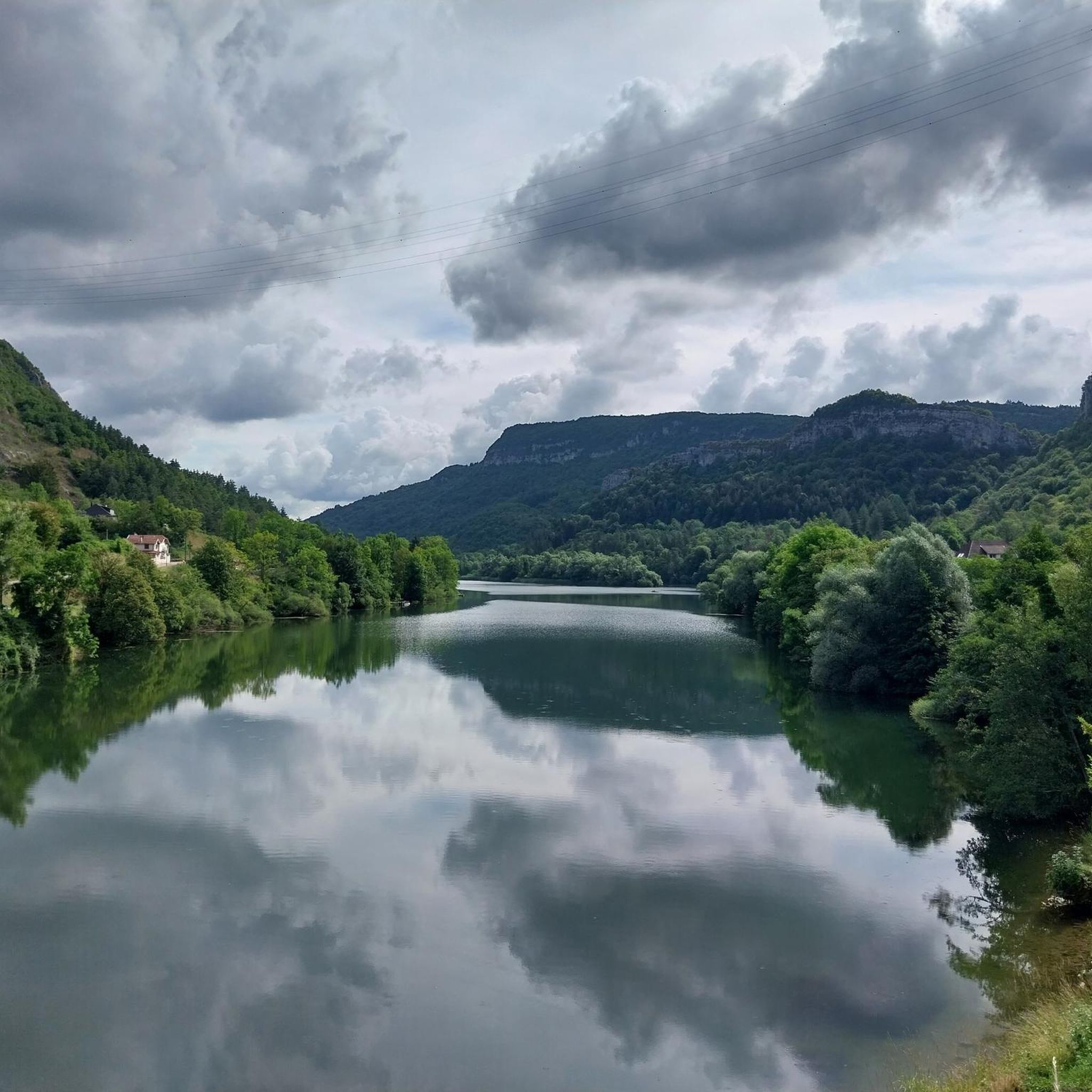
The Lac de Nantua is a superb body of water of 141 hectares. In the heart of the Jura, it offers an ideal setting for practicing a multitude of sports. It is even possible to swim in its waters.
1
0

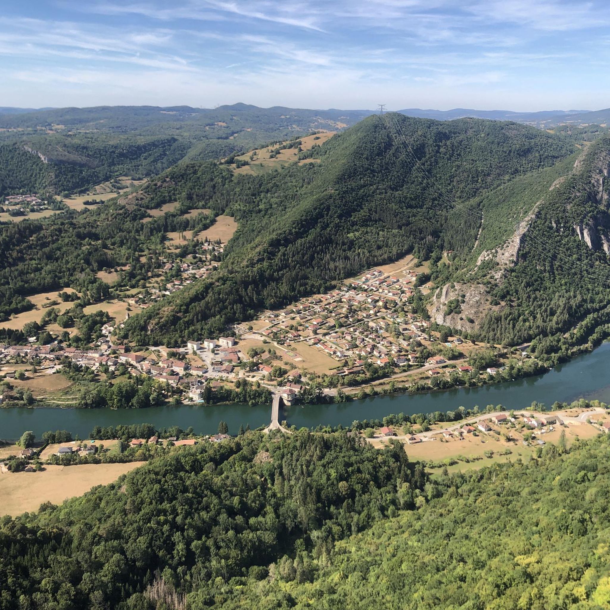
The bridge separates two departments, the Jura and the Ain. "Iron bridge. For several centuries, the Ain was crossed at Thoirette by means of a ferry, known as the bac de Christouphe, the name of the commune where the passenger resided. From 1808 to 1811, the riparian communes clubbed together to build a bridge in place of this ferry. The project had been drawn up by Mr. Cordier, of Orgelet, an engineer then in charge of the direction of the Simplon road works. Various obstacles opposed the execution of this work. It was only in 1829 that an iron bridge was built, which collapsed in 1843. The department of Ain has just replaced it with an iron bridge currently open to traffic". Statistique de la France - 1855 - Ministère de l'Agriculture par Imprimerie Impériale à Paris - p53.
0
0

Magnificent viaduct, nice spot for an outing in Ain.
0
0

Beautiful, simple, easy walk; lots of traffic noise on the "road" section, a bit of a shame, but the color of the water is magical
1
0


Small pass between Ain and Oignin. Beautiful church in the village, the hotel looked rather closed.
3
0


After a good climb, you arrive in the village with a magnificent view of the church and you can even find a shelter with a library. Enough to take a pleasant break from the effort of cycling and appreciate the present moment in front of this very pretty church.
0
0
Frequently Asked Questions
How many road cycling routes can I find around Lac De Charmine-Moux?
There are over 160 road cycling routes available around Lac De Charmine-Moux, catering to various skill levels. This includes 5 easy routes, 58 moderate routes, and 105 difficult routes, ensuring options for every cyclist.
Are there road cycling routes suitable for beginners or families in the Lac De Charmine-Moux area?
Yes, the region offers several routes suitable for beginners and families. There are 5 easy routes available, which typically feature less elevation gain and shorter distances, providing a gentle introduction to road cycling in the area. These routes often traverse rural countryside, offering a pleasant experience.
What kind of terrain can I expect on road cycling routes around Lac De Charmine-Moux?
Road cycling routes around Lac De Charmine-Moux feature a diverse landscape. You can expect to encounter serene artificial lakes, impressive waterfalls like the Sauts de Charmine, and scenic paths through forests and rural countryside. The terrain also includes deeply eroded limestone platforms and picturesque gorges, offering varied challenges and views.
Are there any circular road cycling routes around Lac De Charmine-Moux?
Yes, many routes in the area are designed as loops. For example, the Lac de Nantua – Lake Nantua loop from Matafelon-Granges is a popular moderate option that circles Lac de Nantua. Another is the Matafelon-Granges – Montréal loop from Matafelon-Granges, which takes you through rural landscapes.
What are some challenging road cycling routes for experienced riders?
For experienced riders seeking a challenge, the region offers 105 difficult routes. A notable option is the Cize-Bolozon Viaduct – Cize Viaduct loop from Matafelon-Granges, a 44.6-mile (71.8 km) trail with significant elevation gain. Another demanding route is the Thoirette on the Ain River – Simandre-sur-Suran loop from Matafelon-Granges, covering 62.3 km with over 1200 meters of elevation.
Are there any routes that offer views of the Sauts de Charmine waterfalls?
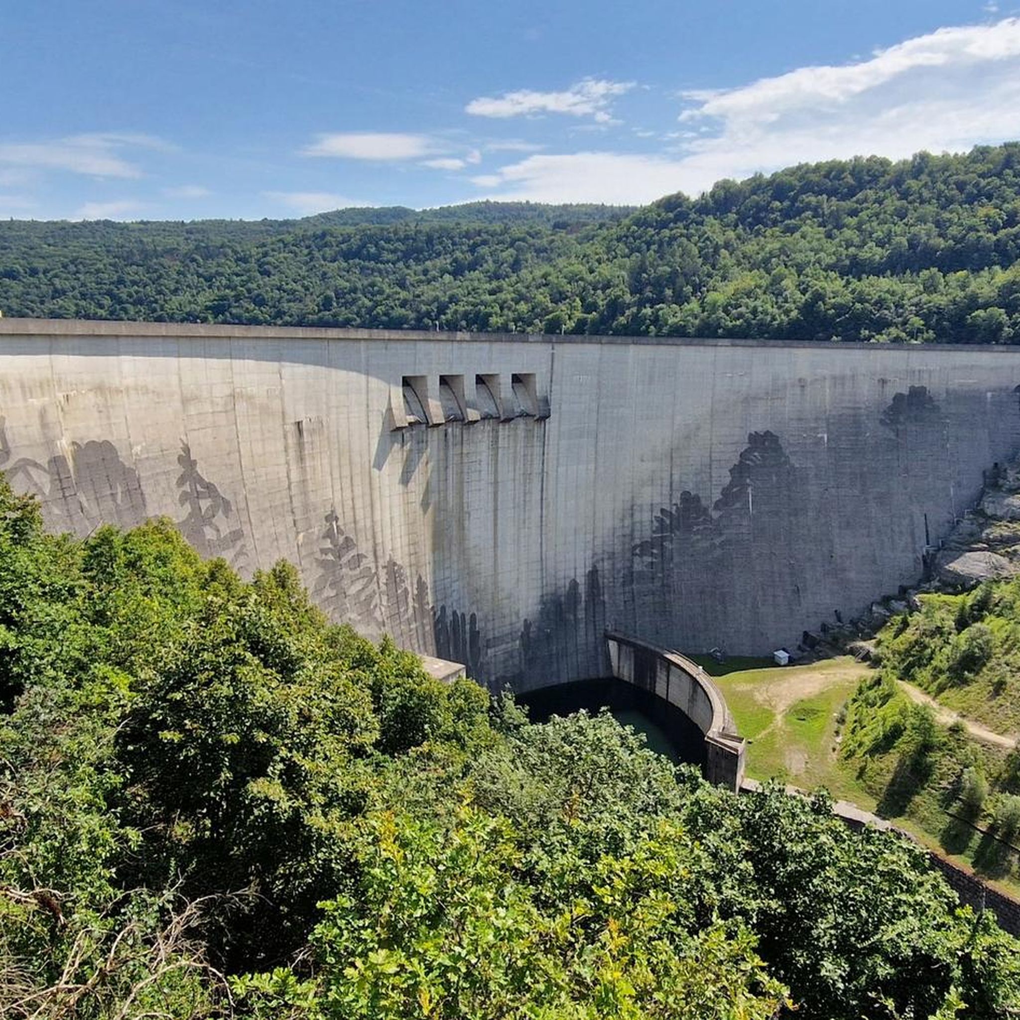
While specific road cycling routes directly passing the Sauts de Charmine waterfalls are not detailed, the waterfalls are a prominent natural feature of the region. The artificial Lac de Moux was created by a dam at Saut de Charmine. You can find more information about this protected natural site, featuring magnificent waterfalls on the Oignin river, at ain-tourisme.com.
What do other road cyclists say about the routes in Lac De Charmine-Moux?
The road cycling routes in Lac De Charmine-Moux are highly rated by the komoot community, with an average score of 4.5 stars from over 110 reviews. More than 2,800 road cyclists have explored the area, often praising the varied terrain, scenic views of lakes and forests, and the options available for different ability levels.
Are there any viewpoints or scenic spots along the road cycling routes?
Yes, the region is known for its scenic beauty. Many routes offer picturesque views of the artificial lakes, such as Lac de Nantua, and the surrounding rural scenery. The departmental road descending from Matafelon, for instance, provides scenic viewpoints over the river and gorges, offering refreshing backdrops for your ride.
What is the best time of year for road cycling in Lac De Charmine-Moux?
The Lac De Charmine-Moux area is generally pleasant for road cycling from spring through autumn. During these seasons, the weather is typically mild, and the natural landscapes, including forests and lakes, are at their most vibrant. It's always advisable to check local weather forecasts before heading out.
Are there any routes that pass by the Cize-Bolozon Viaduct?
Yes, the Cize-Bolozon Viaduct – Cize Viaduct loop from Matafelon-Granges is a difficult 44.6-mile (71.8 km) route that specifically offers views of the impressive Cize-Bolozon Viaduct and the Ain River, making it a popular choice for those interested in this landmark.
Where can I find parking for road cycling routes in Lac De Charmine-Moux?
Many routes in the area, including those starting from Matafelon-Granges, typically have accessible starting points where parking might be available. It's recommended to check the specific route details on komoot for information on designated parking areas or suitable starting locations near the trailheads.
Most popular routes around Lac De Charmine-Moux

Get inspired with the komoot mobile app


Explore more
Browse the best Road cycling routes in other regions.
