The best running trails around Etang De Pain Tourteau
4.3
(169)
2,909
runners
203
runs
Jogging around Etang De Pain Tourteau offers a variety of routes through a landscape characterized by gentle elevations and mixed terrain. The region features a network of paths that often follow water bodies or wind through local woodlands and agricultural areas. These running routes provide opportunities to explore the local environment with minimal significant climbs.
Best jogging routes around Etang De Pain Tourteau
- The most popular jogging route is Plan d'eau de la Valière loop from Le Moulin de la…
Last updated: May 24, 2026
3.8
(59)
298
runners
10.3km
01:04
60m
60m
Moderate run. Good fitness required. Mostly paved surfaces. Suitable for all skill levels.
5
runners
2.98km
00:20
10m
10m
Easy run. Great for any fitness level. Mostly paved surfaces. Suitable for all skill levels.

Sign up for free
5.0
(5)
132
runners
9.08km
00:58
50m
50m
Moderate run. Good fitness required. Mostly paved surfaces. Suitable for all skill levels.
5.0
(1)
36
runners
14.4km
01:33
150m
150m
Moderate run. Good fitness required. Mostly paved surfaces. Suitable for all skill levels.
14
runners
4.64km
00:30
80m
80m
Easy run. Great for any fitness level. Mostly paved surfaces. Suitable for all skill levels.
Get access to more routes and recommendations from other explorers.
Sign up for free
Already have an account?
Our route recommendations are based on thousands of hikes, rides, and runs completed by other people on komoot.
Start today with a free account
Your next adventure awaits.
Login or Signup



Frequently Asked Questions
How many running routes are available around Etang De Pain Tourteau?
There are over 190 running routes in the Etang De Pain Tourteau area, offering a wide range of options for different preferences and fitness levels. These routes traverse gentle elevations, mixed terrain, and often follow water bodies or wind through local woodlands.
Are there any easy or beginner-friendly jogging routes near Etang De Pain Tourteau?
Yes, the region offers several easy routes perfect for beginners. One excellent option is the Running loop from Le Moulin de la Haie, an easy 1.8-mile (3.0 km) path with minimal elevation gain. Another accessible choice is the Running loop from La Chapelle-Erbrée, a 2.9-mile (4.6 km) route also rated as easy.
What is the typical length of jogging routes around Etang De Pain Tourteau?
Running routes in Etang De Pain Tourteau vary significantly in length. You can find shorter paths like the Running loop from Le Moulin de la Haie at 1.8 miles (3.0 km), up to longer, more challenging trails such as Le Bois des Regrétis loop from La Naftrie, which spans 19.6 miles (31.5 km).
Are there family-friendly jogging routes in the Etang De Pain Tourteau area?
Absolutely. The gentle rolling terrain and minimal significant climbs make many routes suitable for families. Look for routes marked as 'easy' or 'moderate' that follow lakeside paths or wind through local woodlands, providing a pleasant experience for all ages.
Can I bring my dog on the running trails around Etang De Pain Tourteau?
Many of the trails around Etang De Pain Tourteau are suitable for running with dogs, especially those that pass through woodlands and agricultural areas. It's always recommended to keep your dog on a leash, especially near livestock or in populated areas, and to check local regulations for specific routes.
Are there circular jogging routes available?
Yes, many of the running routes in Etang De Pain Tourteau are circular, allowing you to start and finish at the same point. For example, the popular Plan d'eau de la Valière loop from Le Moulin de la Haie is a 6.4-mile (10.3 km) circular trail offering views of the local lake.
What do other runners enjoy most about jogging in Etang De Pain Tourteau?
The area is highly rated by the komoot community, with an average score of 4.4 stars from over 170 reviews. Runners often praise the varied terrain, which includes lakeside paths and sections through local forests, as well as the generally gentle elevations that make for enjoyable runs.
What kind of scenery can I expect on the jogging routes?
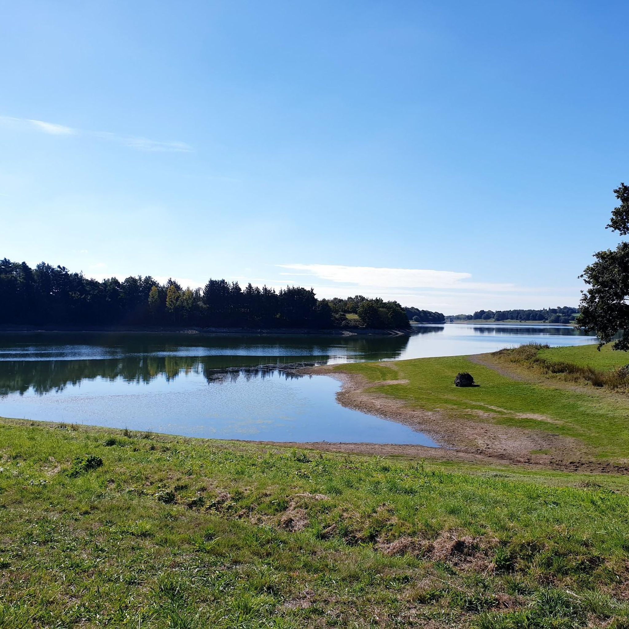
Jogging around Etang De Pain Tourteau offers diverse scenery, characterized by gentle rolling terrain, tranquil lakeside paths, and sections winding through local forests and agricultural areas. You'll often find routes following water bodies, providing picturesque views.
Are there any viewpoints or interesting spots along the running trails?
While specific named viewpoints are not highlighted, many routes offer scenic vistas as they traverse the gentle landscape. Trails often follow water bodies like the Plan d'eau de la Valière, providing pleasant lakeside views. The mixed terrain through woodlands and agricultural areas also offers varied natural beauty.
What is the best time of year for jogging in Etang De Pain Tourteau?
The region's gentle terrain makes it suitable for jogging throughout much of the year. Spring and autumn offer pleasant temperatures and beautiful natural colors. Even in winter, many routes remain accessible, though conditions can vary, so checking local weather is always advisable.
Are there any cafes or places to stop for refreshments near the jogging routes?
While specific cafes directly on the trails are not detailed, many routes start or pass near local villages and towns, such as Le Moulin de la Haie or La Chapelle-Erbrée. These locations typically offer opportunities to find refreshments before or after your run.
What is the most challenging running route in the area?
For those seeking a greater challenge, the Le Bois des Regrétis loop from La Naftrie is a difficult 19.6-mile (31.5 km) route with a significant elevation gain of 334 meters, offering a more demanding experience for experienced runners.
Most popular routes around Etang De Pain Tourteau

Get inspired with the komoot mobile app


Explore more
Browse the best Running Trails & Routes in other regions.
