The best road cycling routes around Lac Des Bouillouses
4.2
(58)
5,754
riders
28
rides
Road cycling around Lac Des Bouillouses offers a high-mountain experience in the Pyrénées-Orientales, situated at an altitude of 2,017 meters. The region is characterized by dramatic mountain vistas, including the Carlit Massif, and a diverse terrain featuring rocky landscapes, open plains, and lush forests. Cyclists navigate well-paved surfaces, often encountering steep climbs that present an enjoyable challenge. The area is dotted with numerous smaller lakes and ponds, adding to the picturesque scenery for road bike routes.
Best road cycling routes…
Last updated: July 31, 2026
5.0
(1)
38
riders
Moderate road ride. Good fitness required. Mostly well-paved surfaces and easy to ride.
4.6
(19)
857
riders
59.0km
03:26
1,130m
1,130m
Hard road ride. Very good fitness required. Mostly well-paved surfaces and easy to ride.

Sign up for free
4.5
(2)
68
riders
29.2km
01:39
590m
590m
Moderate road ride. Good fitness required. Some segments of this route may be unpaved and difficult to ride.
60
riders
Moderate road ride. Good fitness required. Mostly well-paved surfaces and easy to ride.
22
riders
38.3km
02:10
740m
740m
Moderate road ride. Good fitness required. Some segments of this route may be unpaved and difficult to ride.
Get access to more routes and recommendations from other explorers.
Sign up for free
Already have an account?
Our route recommendations are based on thousands of hikes, rides, and runs completed by other people on komoot.
Start today with a free account
Your next adventure awaits.
Login or Signup
Popular around Lac Des Bouillouses
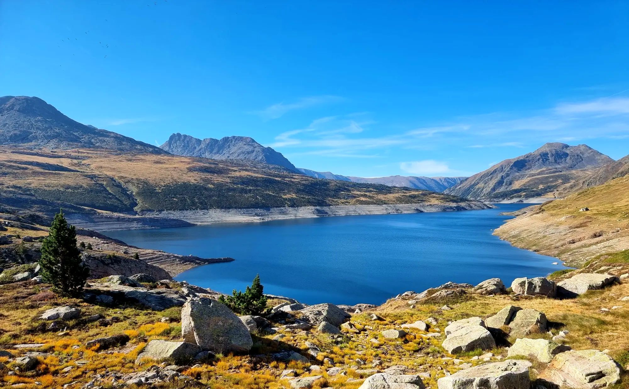
Tour des Pérics – Carlit and Grand Péric variants
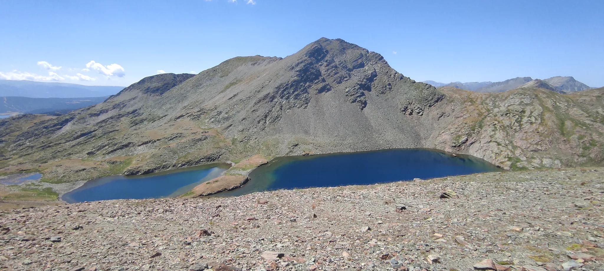
Loop of the Carlit – Tour of the massif along the lakes
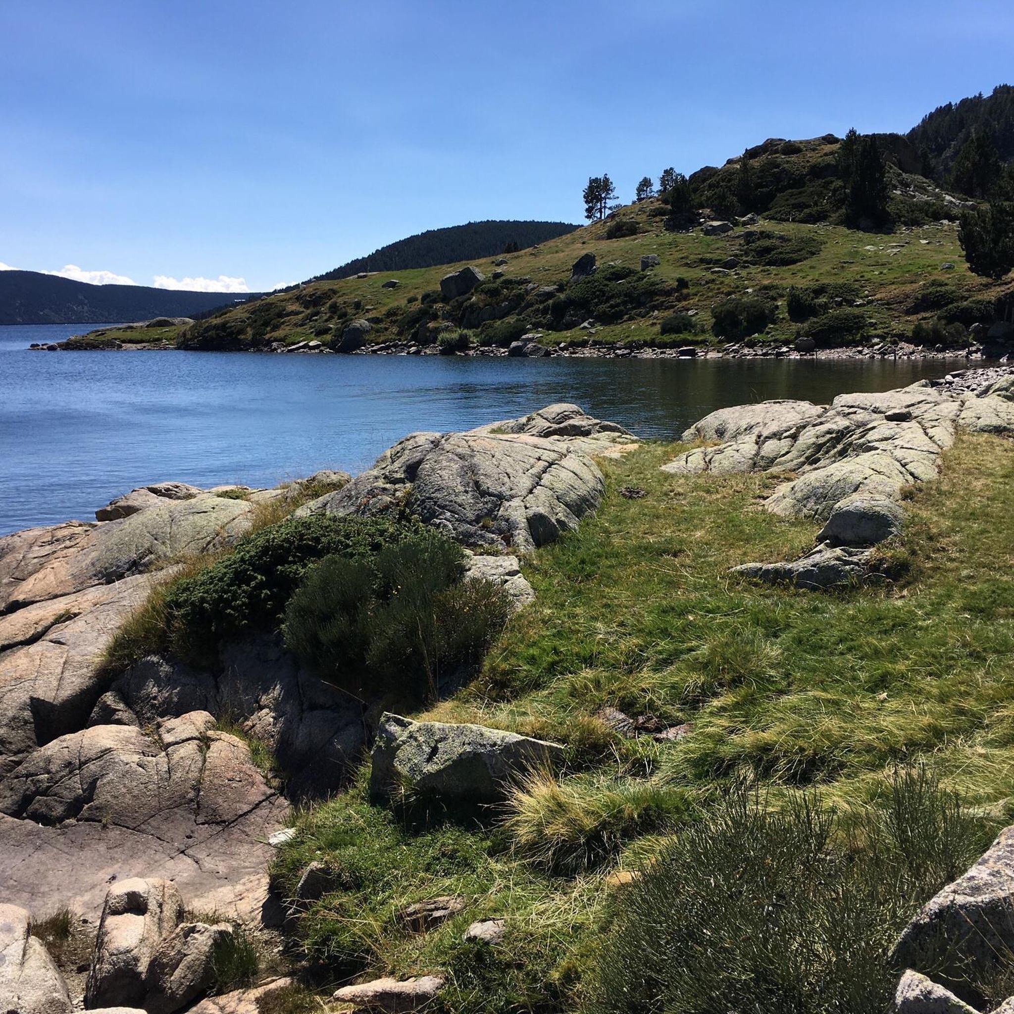
Hiking around Lac Des Bouillouses
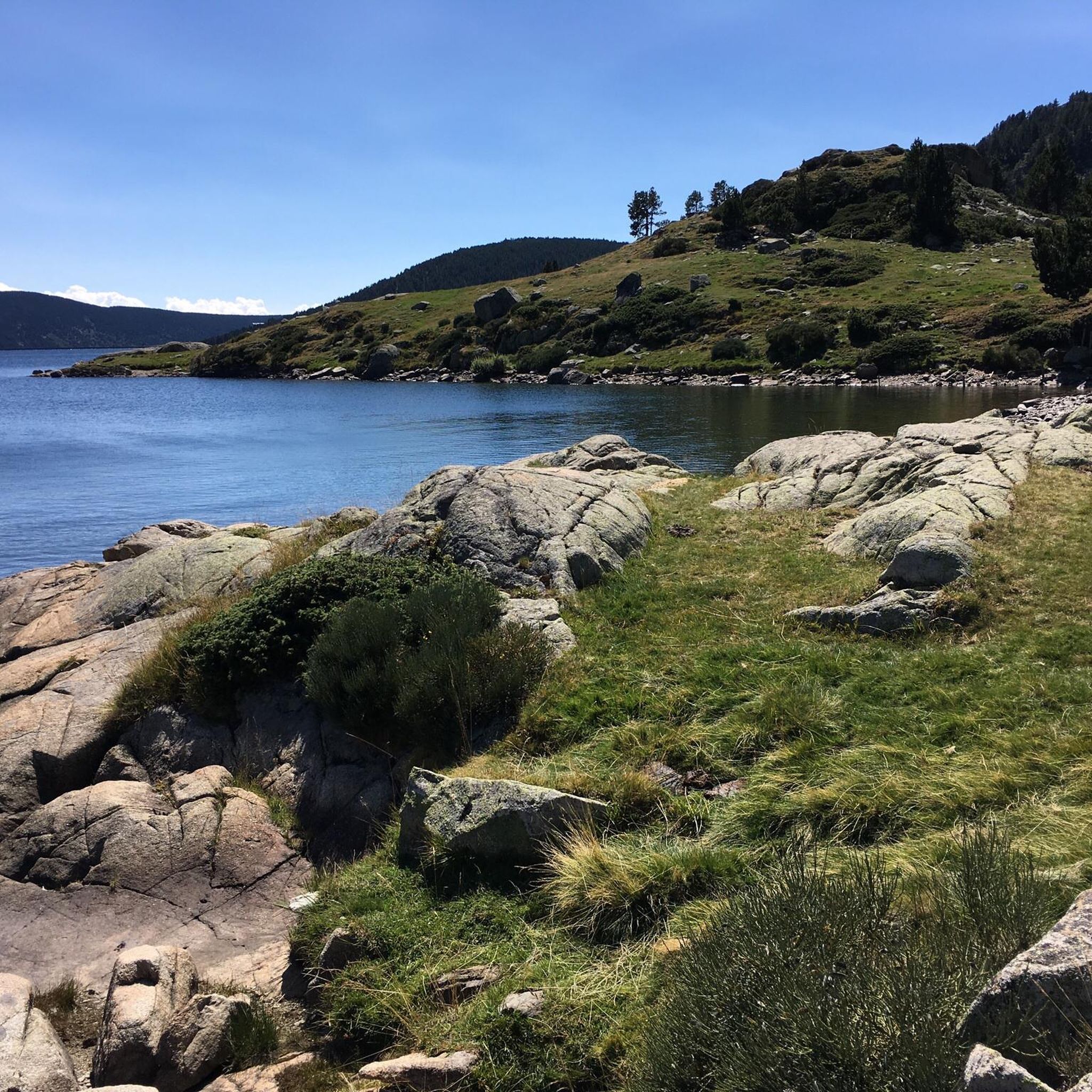
Cycling around Lac Des Bouillouses
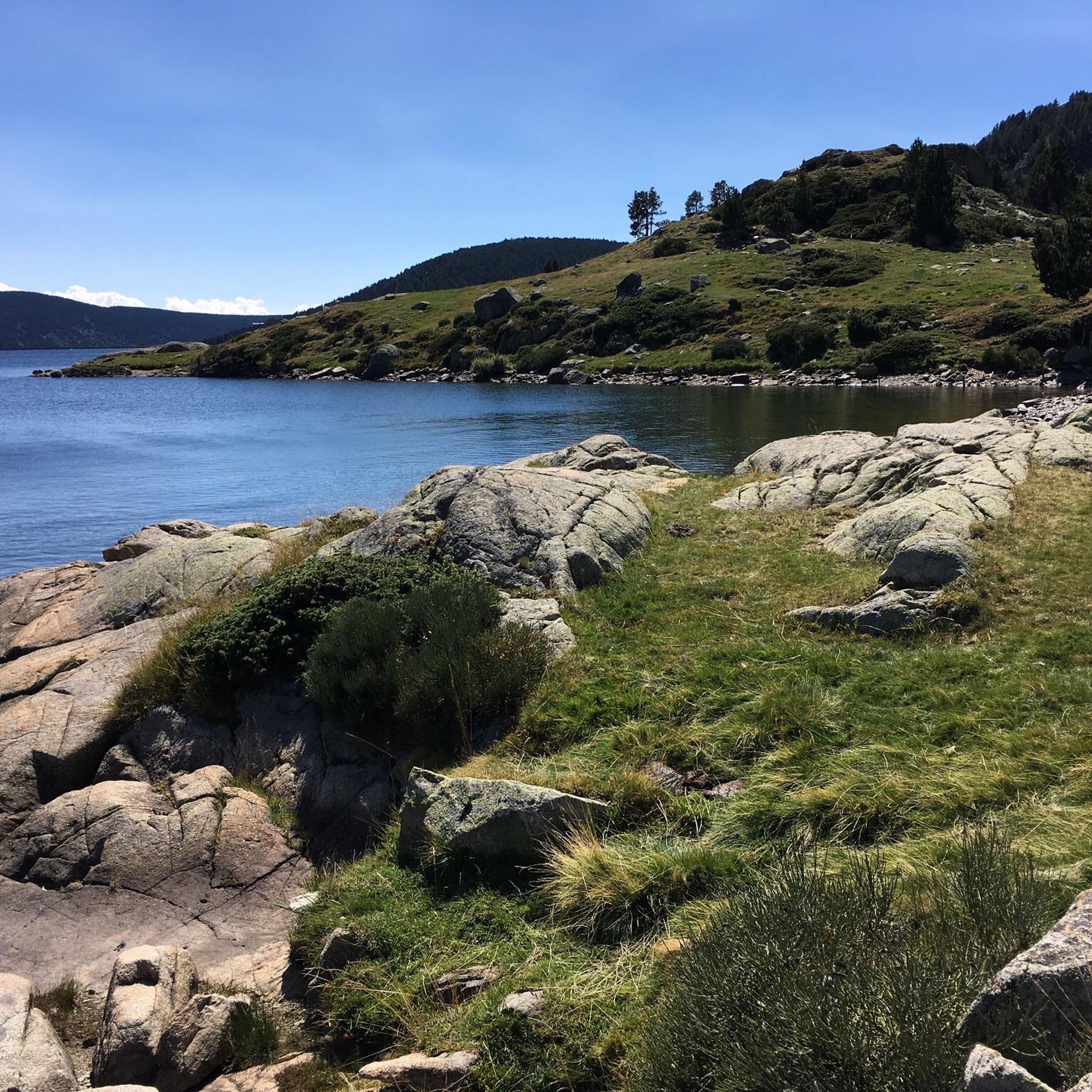
MTB Trails around Lac Des Bouillouses
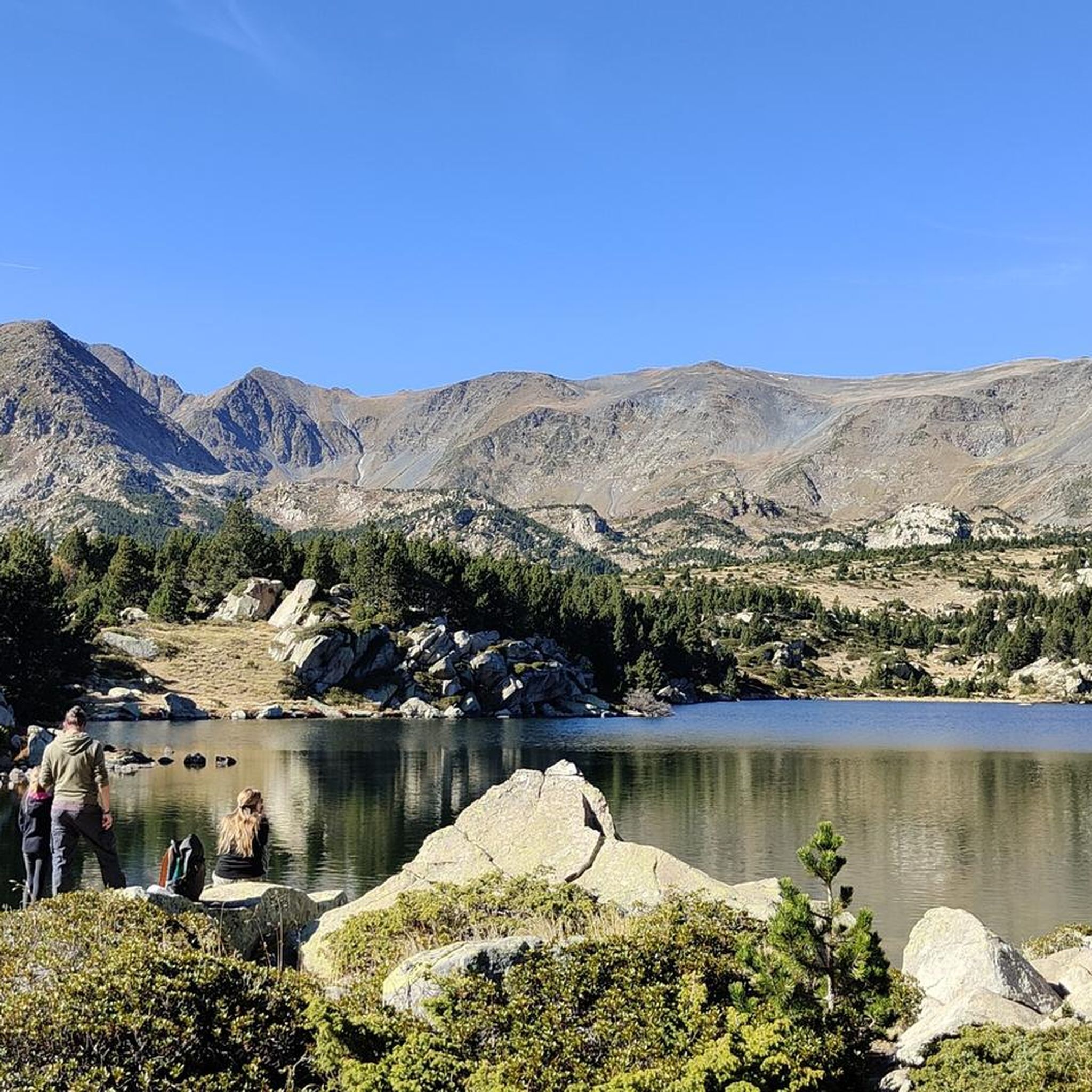
Running Trails around Lac Des Bouillouses

Gravel biking around Lac Des Bouillouses
Mountain Hikes around Lac Des Bouillouses
Other adventures around Lac Des Bouillouses

Tips from the Community

The Puyvalador dam is 160 meters long and 39 meters high. This concrete structure is used to regulate the waters of the Aude river to produce electricity. From the dam, the view is exceptional.
0
0

It's an ideal spot for a picnic. It's also an ideal place for groups of cyclists supported by vans, as there's plenty of space here to relax and not disturb anyone. The lake is at an elevated point, so accessing it from La Llagonne or Les Angles requires a steep climb, always at a lower gradient.
0
0

A drinking water tap, near the village school, always available 365/24
1
0


Beautiful view along the departmental road.
0
0
This is the highest point accessible from the Font Romeu ski resort. From the roundabout at Col de Calvaire, it's almost 5 km, passing the first ski lift area with a large parking lot called Les Airelles halfway along. Pla de Calma is an exceptional spot in summer, with many animals enjoying the pleasant temperatures and tranquility of the area.
0
0

Well, starting from Font Romeu and breaking legs from Mont Louis
0
0
Frequently Asked Questions
How many road cycling routes are available around Lac des Bouillouses?
There are 19 road cycling routes around Lac des Bouillouses listed on komoot, catering to various skill levels. This includes 7 easy, 11 moderate, and 1 difficult route, offering a diverse range of experiences in the high-mountain environment.
What kind of terrain can I expect on road cycling routes in this region?
The terrain around Lac des Bouillouses is characterized by dramatic mountain vistas, including the Carlit Massif, and diverse landscapes featuring rocky areas, open plains, and lush forests. Routes often involve well-paved surfaces with steep climbs, providing an enjoyable challenge and rewarding cyclists with breathtaking views of the surrounding peaks and numerous smaller lakes.
Are there any easy road cycling routes suitable for beginners or families?
Yes, there are several easy routes. For a pleasant ride, consider the Fountains – Church of Réal loop from Les Angles. This 21.9 km route has a moderate elevation gain of around 300 meters, making it suitable for those looking for a less strenuous experience while still enjoying the scenic beauty.
What are the most challenging road cycling routes in the Lac des Bouillouses area?
For experienced cyclists seeking a challenge, the Mont-Louis Citadel Entrance – Col de la Perche (1,579 m) loop from Les Angles is a difficult 69.2 km path. This route features significant elevation gain, passing through high-altitude landscapes and offering expansive vistas of the Pyrénées-Orientales.
What are some notable landmarks or points of interest along the road cycling routes?
Cyclists can enjoy stunning natural features and landmarks. The centerpiece is the Lac des Bouillouses itself, a high-altitude artificial lake. The routes also offer views of the Carlit massif and numerous other glacial lakes like Estany de la Pradella. You might also pass by the Carlit Inn, which provides amenities.
What do other road cyclists say about the routes in Lac des Bouillouses?
The road cycling routes around Lac des Bouillouses are highly rated by the komoot community, with an average score of 4.2 stars from over 60 reviews. Cyclists often praise the challenging climbs, the well-paved surfaces, and the breathtaking views of the Carlit Massif and surrounding lakes.
When is the best time of year for road cycling around Lac des Bouillouses?
The best time for road cycling is typically from late spring to early autumn (May to October). During these months, the weather is generally more favorable, and the high-altitude roads are clear of snow. Summer offers warmer temperatures, but access to the lake itself can be regulated, with shuttle buses and chairlifts managing tourist influx.
Are there any circular road cycling routes available?
Yes, many routes are designed as loops. A popular moderate option is the Lac des Bouillouses loop from Ermitage Notre-Dame, which is 15.9 km long and takes you through the immediate surroundings of the lake. Another is the Lake Calvet – Quillane Pass loop from Les Angles, a 34.7 km moderate route.
Can I find places to eat or stay near the cycling routes?
Yes, the area offers amenities for visitors. The Carlit Inn and Hotel des Bones Hores are examples of establishments that provide dining and accommodation, offering convenient stops for cyclists. These are particularly useful after a long ride in the mountains.
Is public transport available to access the cycling routes, or is parking an option?
Access to Lac des Bouillouses is regulated, especially in summer, with shuttle buses and chairlifts available to manage tourist influx and preserve the site. While specific public transport links directly to route starting points for cyclists might vary, parking is generally available in nearby towns like Les Angles, which serve as common starting points for many routes.
What is the average elevation gain on road cycling routes in this region?
Given the mountainous terrain, road cycling routes around Lac des Bouillouses typically involve significant elevation gain. For example, a moderate route like the Lake Calvet – Quillane Pass loop from Les Angles has an elevation gain of around 450 meters, while more difficult routes can exceed 1,000 meters of climbing.
Most popular routes around Lac Des Bouillouses

Get inspired with the komoot mobile app


Explore more
Browse the best Road cycling routes in other regions.
