The best road cycling routes around Lac De Puyvalador
4.2
(40)
2,517
riders
30
rides
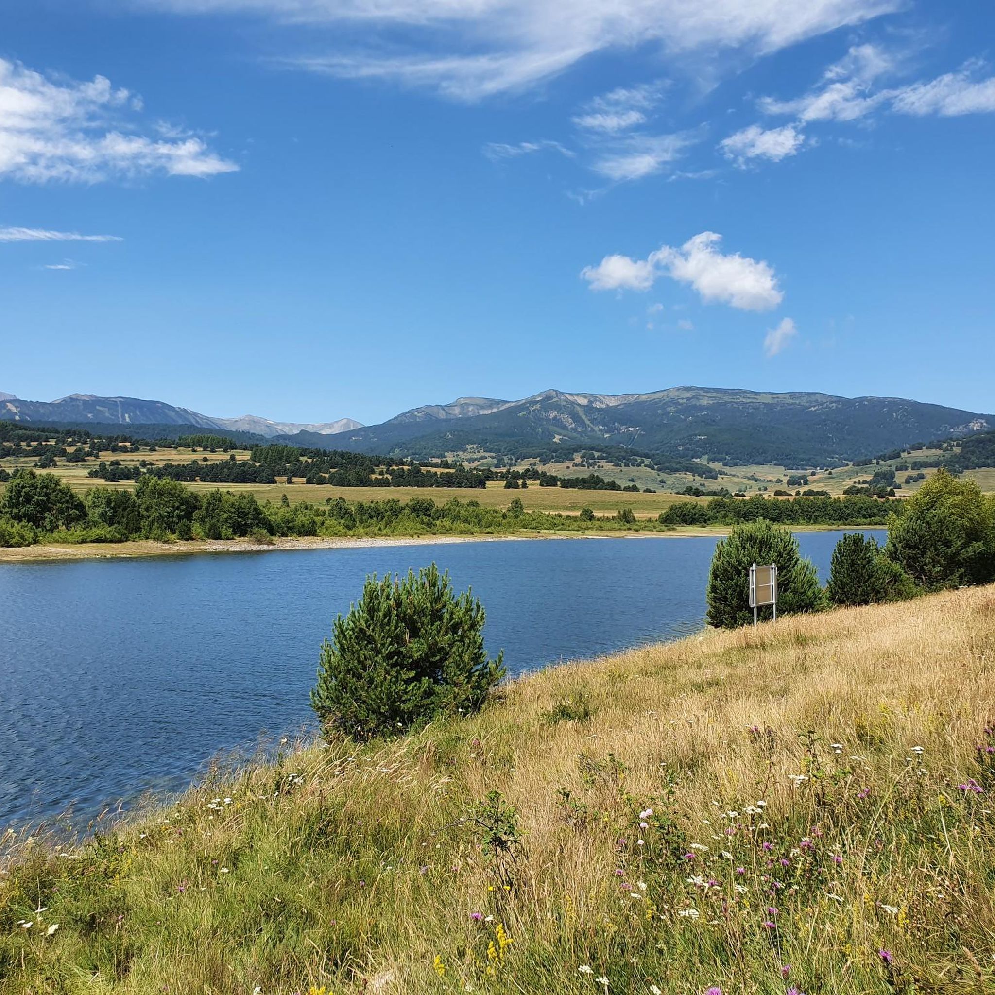
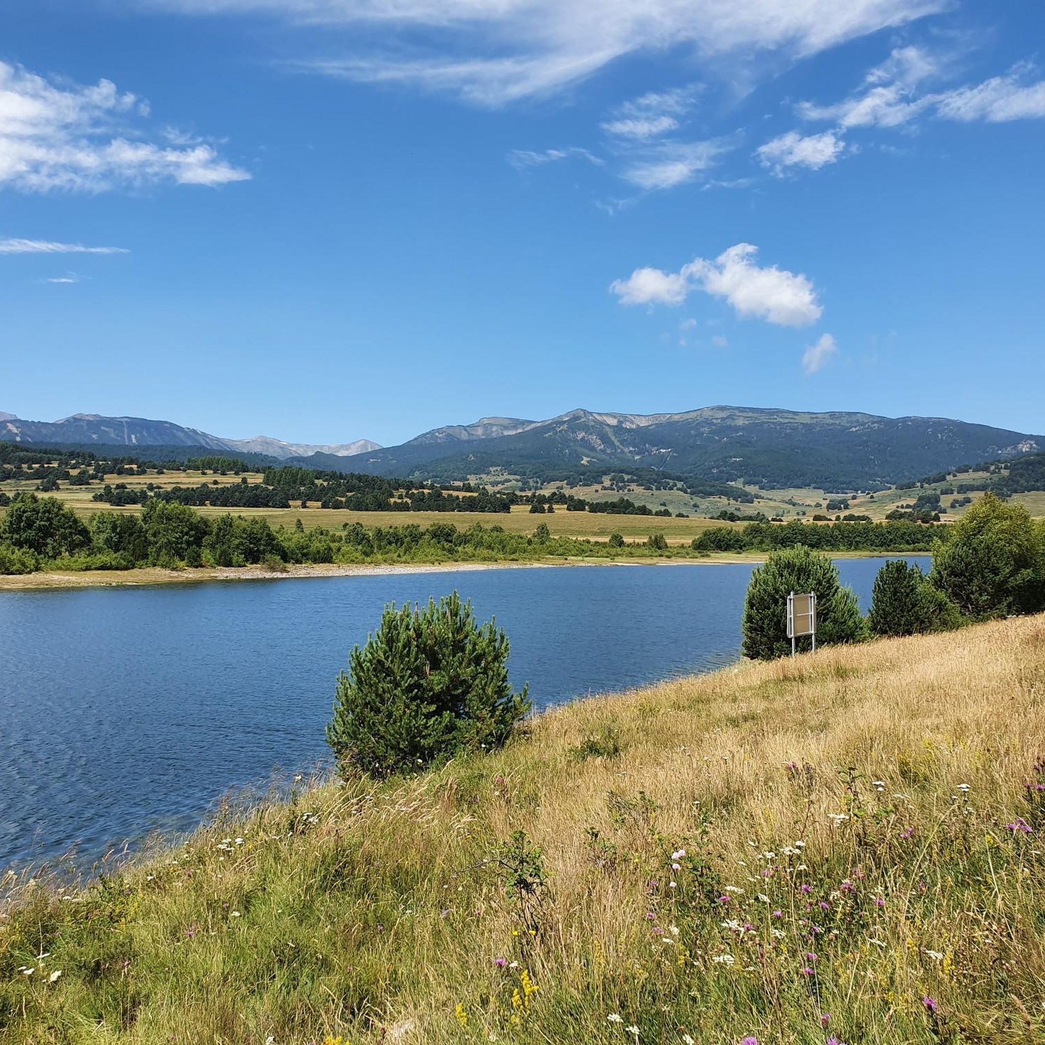
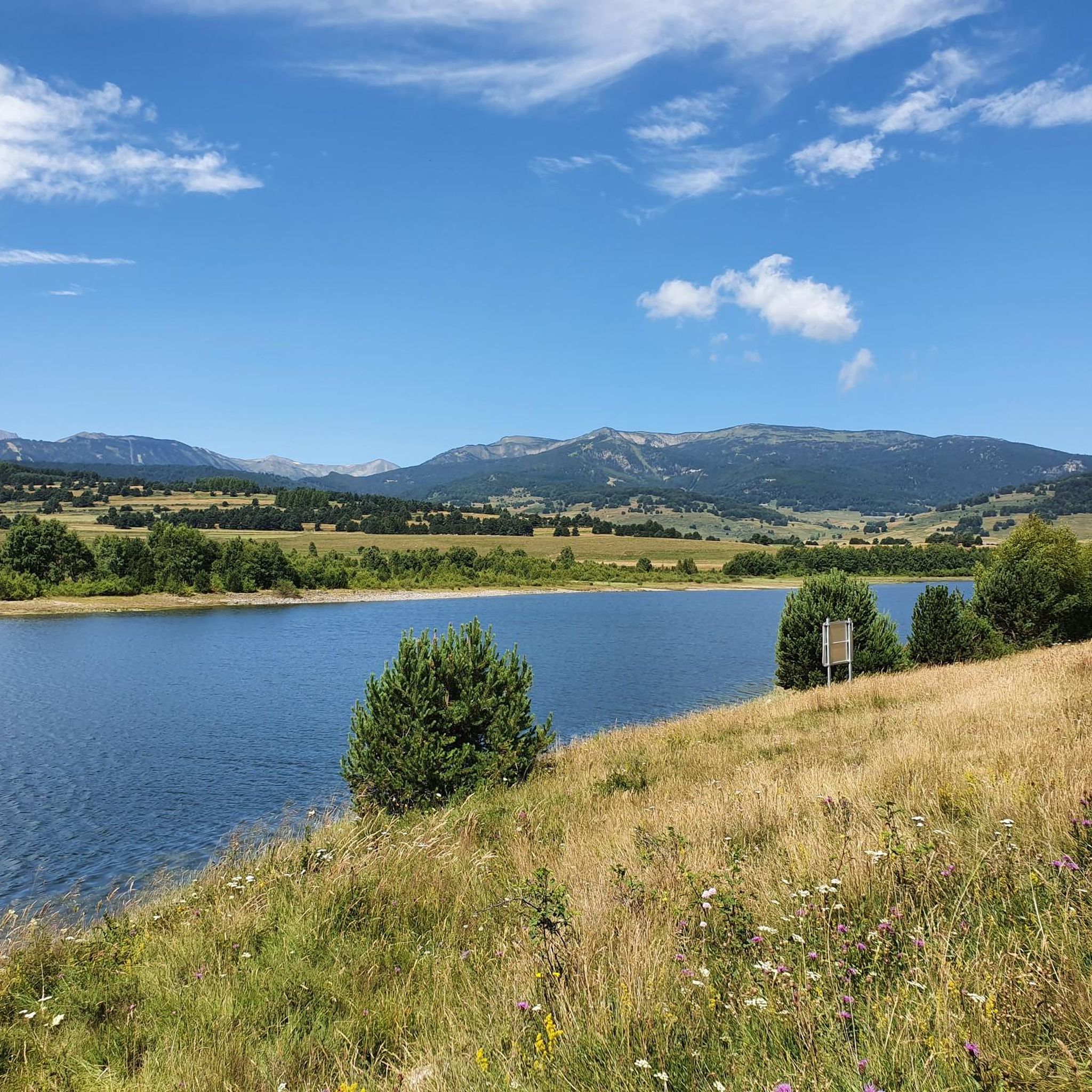
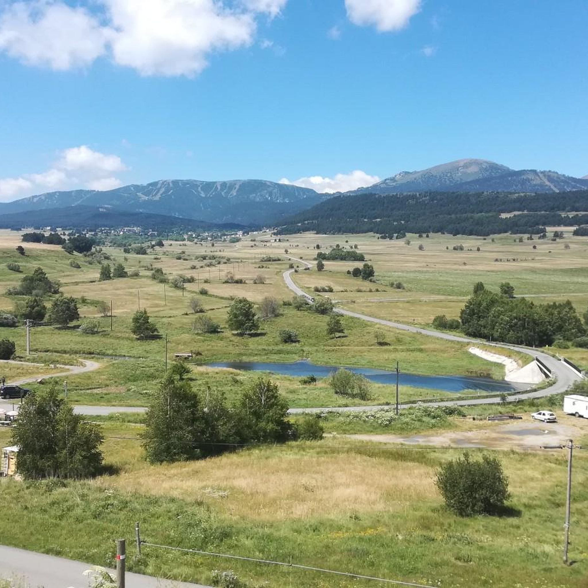
Road cycling routes around Lac De Puyvalador traverse a landscape characterized by an artificial reservoir, surrounded by Mediterranean vegetation and forested ridges. The region, nestled in the Pyrénées-Orientales, offers varying elevations, from tranquil paths around the lake to challenging ascents over mountain passes. Cyclists can explore the scenic Capcir plateau and follow routes along the Aude and Galbe rivers. The terrain provides options for different skill levels, including dedicated cycle paths like the D118 connecting Puyvalador and Formiguères.
Best road…
Last updated: May 23, 2026
4.5
(4)
519
riders
104km
06:37
3,080m
3,080m
Hard road ride. Very good fitness required. Mostly well-paved surfaces and easy to ride.
16
riders
71.0km
04:09
1,730m
1,730m
Hard road ride. Very good fitness required. Some segments of this route may be unpaved and difficult to ride.

Sign up for free
5
riders
23.6km
01:11
400m
400m
Moderate road ride. Good fitness required. Mostly well-paved surfaces and easy to ride.
5.0
(1)
21
riders
177km
10:27
4,460m
4,460m
Hard road ride. Very good fitness required. Some segments of this route may be unpaved and difficult to ride.
22
riders
22.7km
01:02
270m
270m
Easy road ride. Great for any fitness level. Mostly well-paved surfaces and easy to ride.
Get access to more routes and recommendations from other explorers.
Sign up for free
Already have an account?
Our route recommendations are based on thousands of hikes, rides, and runs completed by other people on komoot.
Start today with a free account
Your next adventure awaits.
Login or Signup


Tips from the Community


Small pass at the exit of Ayguatebia which leads back to the Col de Creu. Not cleared of snow from November to March.
0
0

Here you can get shadow, several cans (coke, Fanta, icetea) and different icecreams. Payment by PayPal possible. Washroom is also available
0
0
Go to the Mairie, there you have self service with several cans and ice, pay per cash or PayPal
0
0


After passing the village of Niort-de-Sault, this is where the climb to the Col de Pradel formally begins, as indicated by a nice sign. Despite this, the road is already climbing very slightly at 2% from the moment you take the D 107 towards the pass. I recommend taking a photo at this place to remember the start of one of the most spectacular climbs I have done in the Eastern Pyrenees.
0
0
Frequently Asked Questions
What kind of terrain can I expect when road cycling around Lac de Puyvalador?
The region offers a diverse landscape for road cycling, ranging from tranquil, less-steep paths directly around the artificial reservoir to challenging ascents over mountain passes. You'll find routes traversing Mediterranean vegetation, forested ridges, and the scenic Capcir plateau, with options along the Aude and Galbe rivers. The D118 road also features a dedicated cycle path connecting Puyvalador and Formiguères for a smoother experience.
Are there road cycling routes suitable for beginners or those looking for an easier ride?
Yes, Lac de Puyvalador offers several easier road cycling options. While some routes feature significant climbs, there are paths around the lake itself that are more tranquil and less steep, making them accessible for a range of abilities. The region has 7 routes classified as easy, providing gentler rides through the picturesque scenery.
What are some challenging road cycling routes in the Lac de Puyvalador area?
For experienced cyclists seeking a challenge, the region offers several difficult routes with substantial elevation gains. One notable option is the Pailhères Pass – Pradel Pass loop from Puyvalador, a demanding 103.9 km ride with over 3000 meters of elevation gain. Another challenging route is the Lake Matemale – Col de la Creu loop from Puyvalador, covering 71.0 km with significant climbing.
What natural features and landmarks can I see while road cycling around Lac de Puyvalador?
The routes offer stunning views of the artificial Lac de Puyvalador, reflecting the Capcir plateau landscapes. You'll encounter Mediterranean vegetation and forested ridges. Keep an eye out for the Aude and Galbe rivers, with charming 'Roman' bridges crossing the Galbe. The impressive Puyvalador Dam, a significant engineering feat, is also a notable landmark. For birdwatchers, an ornithological observatory is located on the lake's eastern bank near Réal.
Are there any family-friendly road cycling options near Lac de Puyvalador?
While many road cycling routes involve varying elevations, the dedicated cycle path along the D118 connecting Puyvalador and Formiguères provides a safe and enjoyable option for families. Additionally, the less-steep paths directly around Lac de Puyvalador can be suitable for families looking for a more relaxed ride in a beautiful setting.
Are there circular road cycling routes available in the region?
Yes, many of the road cycling routes around Lac de Puyvalador are designed as loops, allowing you to start and finish at the same point. Examples include the Lake Matemale – Col de la Perche loop from Puyvalador and the Col de Creu (1712 m) – Col de la Creu loop from Puyvalador, offering convenient options for exploring the area.
When is the best time of year for road cycling around Lac de Puyvalador?
The Pyrénées-Orientales region generally offers pleasant conditions for cycling. Spring and autumn typically provide milder temperatures and beautiful scenery, ideal for longer rides. Summer can be warm, especially at lower elevations, but higher mountain passes offer cooler air. Always check local weather forecasts before heading out.
Is parking available for cyclists near the road cycling routes?
Yes, parking is generally available in the villages and near popular starting points for routes around Lac de Puyvalador, such as in Puyvalador itself or nearby Formiguères. It's advisable to check specific starting points for designated parking areas.
What do other road cyclists enjoy most about cycling in Lac de Puyvalador?
The area is highly rated by the komoot community, with an average score of 4.2 stars from over 50 reviews. Cyclists often praise the stunning natural environment, the variety of terrain from lakeside paths to challenging mountain passes, and the serene beauty of the Capcir plateau reflected in the lake's waters. The well-integrated artificial reservoir and surrounding Mediterranean vegetation also contribute to a unique cycling experience.
Are there places to stop for refreshments or accommodation along the road cycling routes?
The villages surrounding Lac de Puyvalador, such as Puyvalador, Réal, Matemale, and Formiguères, offer options for cafes, restaurants, and accommodation. Planning your route to pass through these villages can provide convenient stops for refreshments and breaks during your ride.
How many road cycling routes are available in the Lac de Puyvalador region?
There are over 30 road cycling routes available around Lac de Puyvalador, catering to various skill levels. This includes 7 easy routes, 15 moderate routes, and 9 difficult routes, ensuring there's something for every road cyclist.
Can I find quiet road cycling routes away from heavy traffic?
Yes, many of the routes around Lac de Puyvalador traverse less-trafficked regional roads and dedicated cycle paths. The area is known for its wild and preserved character, offering opportunities for peaceful rides through natural landscapes. The D118 cycle path between Puyvalador and Formiguères is a good example of a route designed for cyclists away from main road traffic.
Most popular routes around Lac De Puyvalador

Get inspired with the komoot mobile app


Explore more
Browse the best Road cycling routes in other regions.
