The best walks and hikes around Gelmersee
4.7
(1005)
8,569
hikers
79
hikes
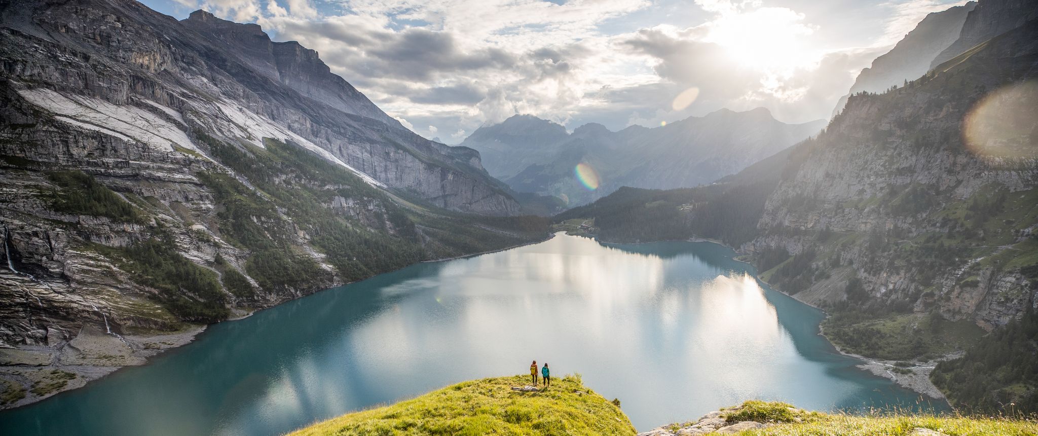
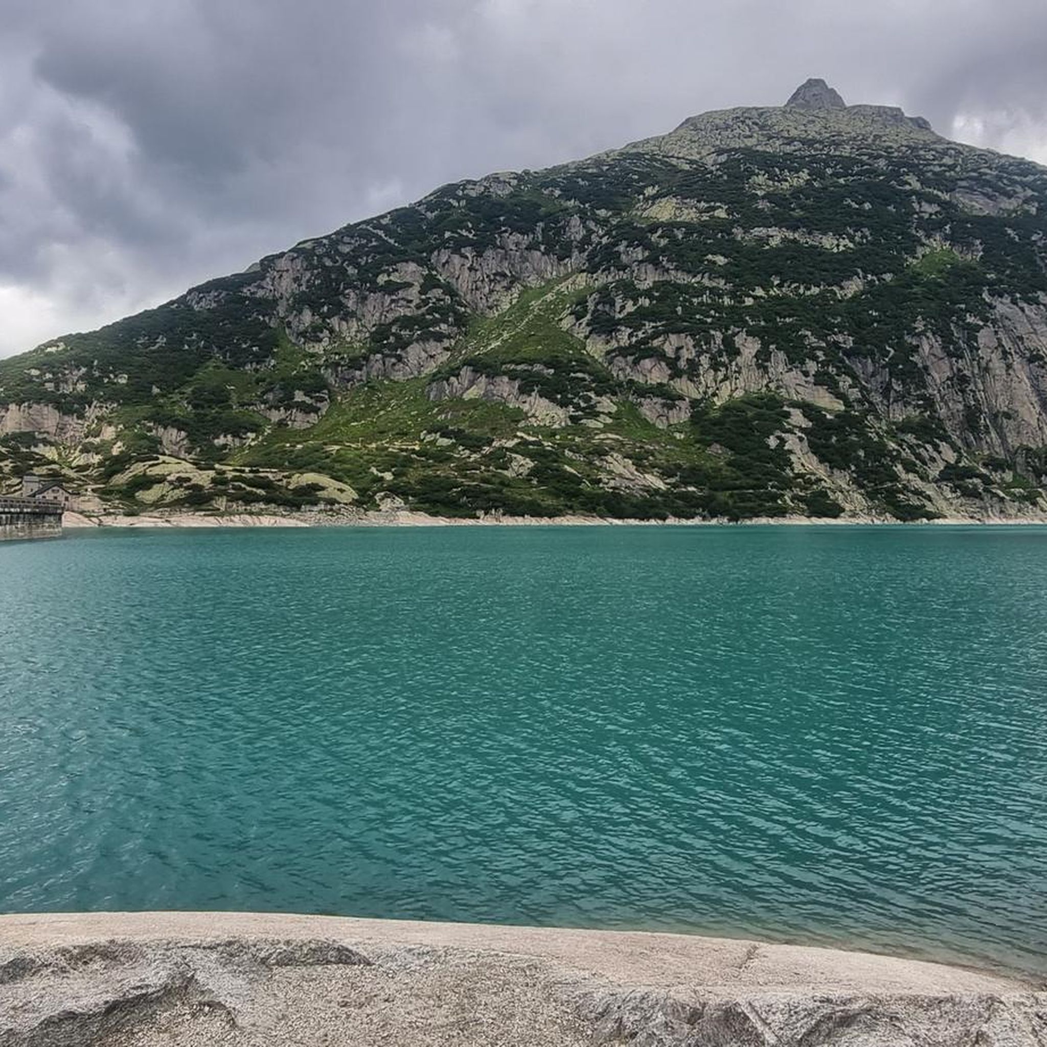
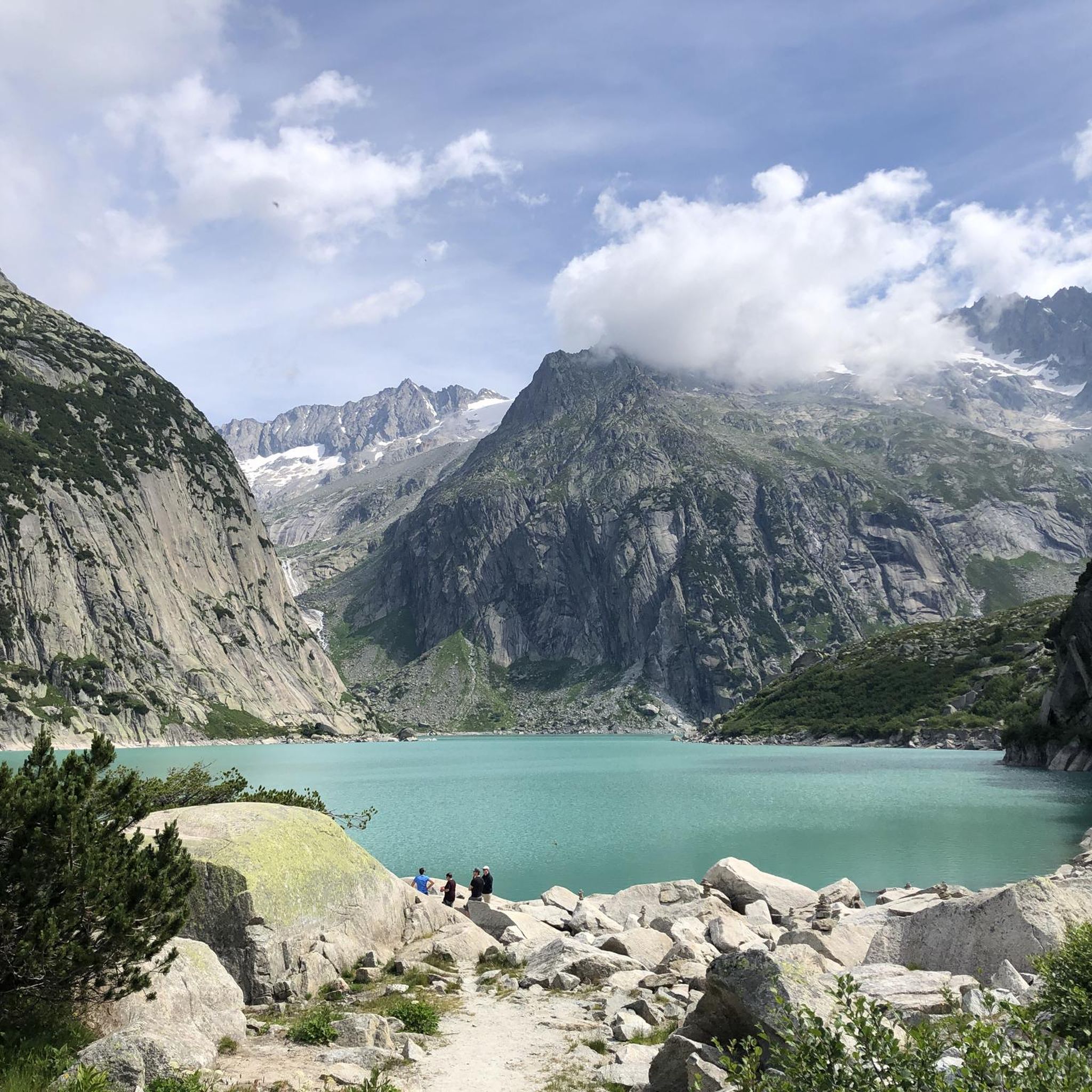
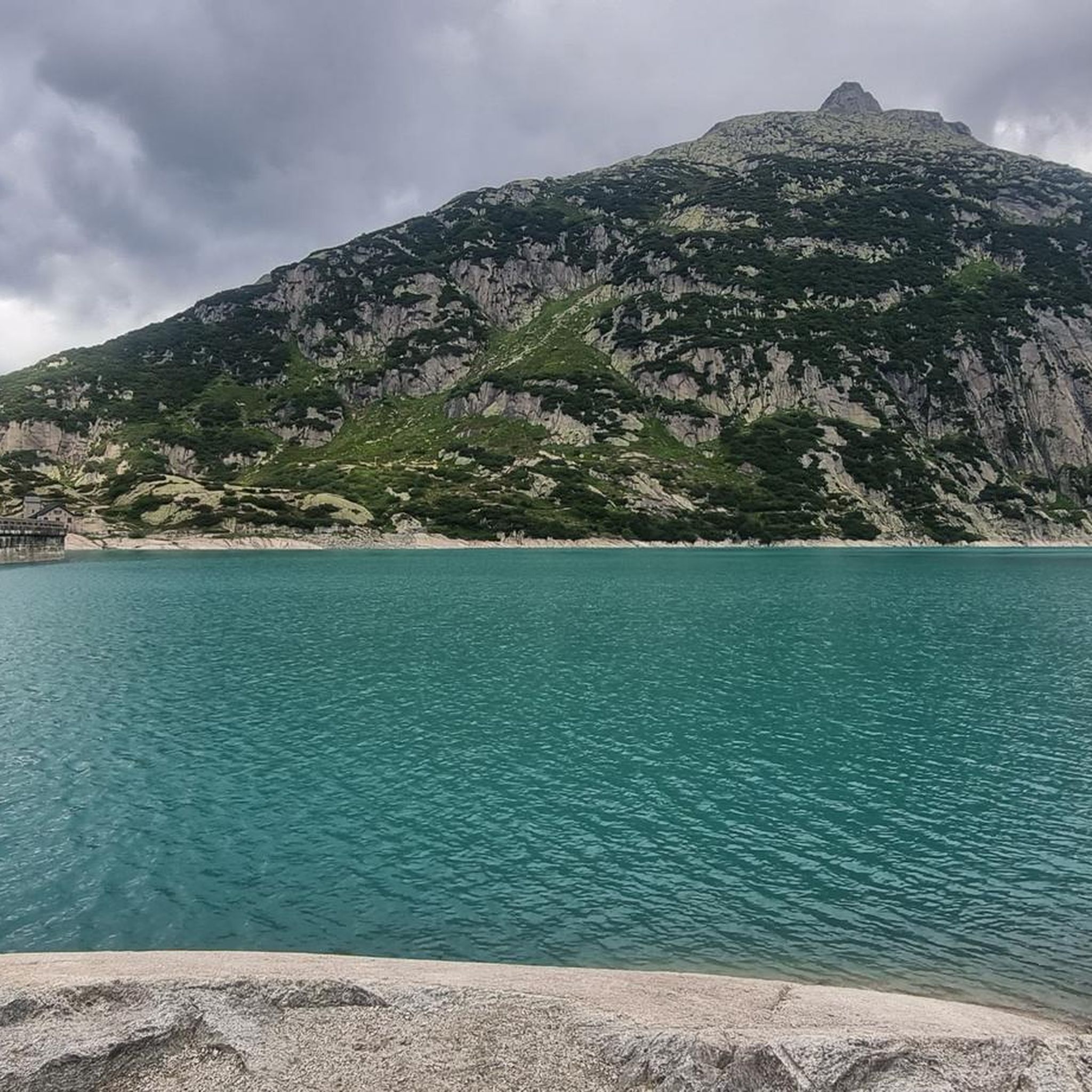
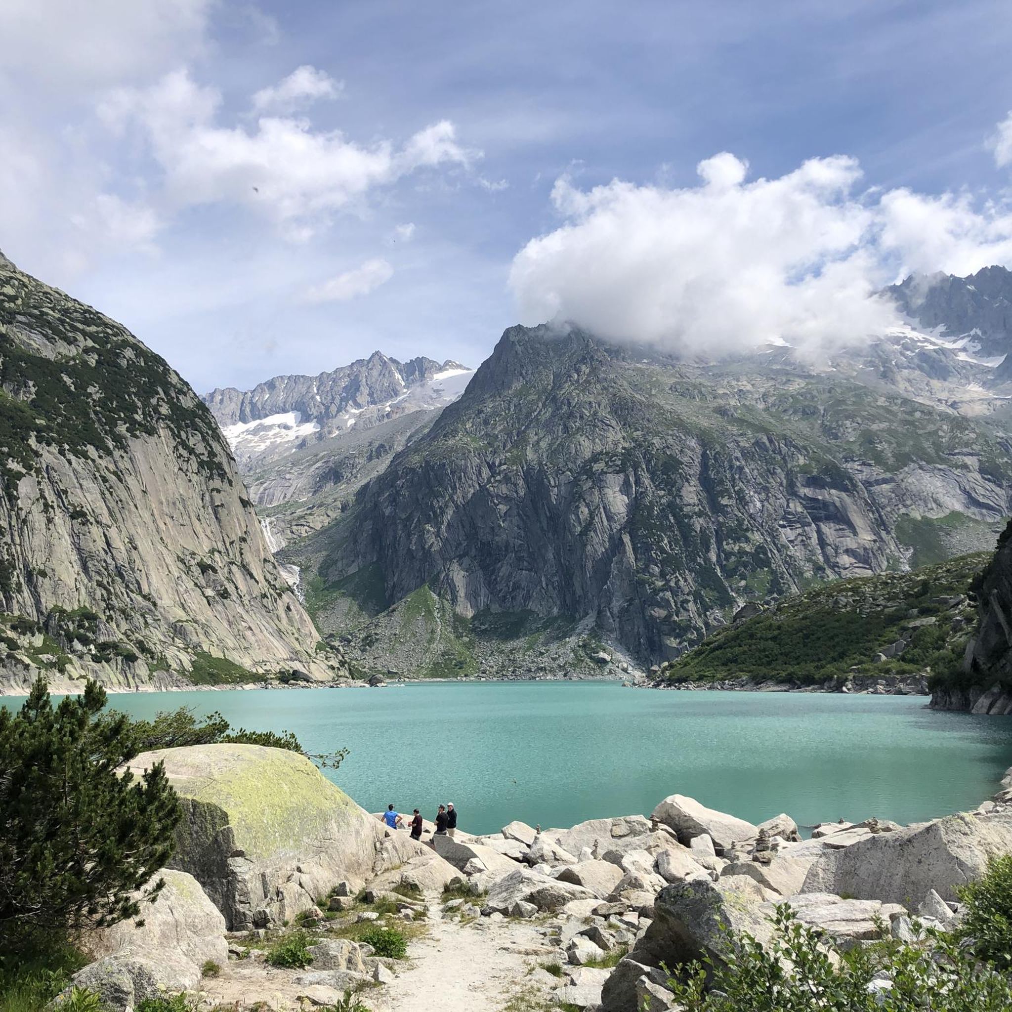
Hiking around Gelmersee offers trails through dramatic alpine scenery centered around a vivid turquoise hydroelectric reservoir. The region is characterized by steep mountains, rugged terrain, and, at higher altitudes, snow-capped peaks. Hikers can encounter several waterfalls, including those feeding the lake, and a distinctive natural rock archway along the paths. The landscape provides a challenging environment for outdoor exploration.
Best hiking trails around Gelmersee
- The most popular hiking route is View of Gelmersee – Gelmerbahn loop from Gelmersee, a 2.9 miles (4.6 km) trail that takes 1 hour 47 minutes to complete, offering panoramic views of the lake and surrounding mountains.
- Another top favourite among local hikers is Hike to Gelmerhütte – Gelmer Hut loop from Gelmersee, a difficult 3.3 miles (5.4 km) path that ascends to the Gelmerhütte, providing extended alpine views.
- Local hikers also love the Gelmerbahn Valley Station – Handeckfall Bridge loop from Gelmersee, a 1.1 miles (1.8 km) trail leading through the Handeck Gorge to the suspension bridge, often completed in about 30 minutes.
- Hiking around Gelmersee is defined by dramatic alpine scenery, vivid turquoise waters, and steep mountainous terrain. The network offers options for easy walks to challenging mountain trails, catering to different ability levels.
- The routes in Gelmersee are highly rated by the komoot community with an average score of 4.7 stars from over 800 reviews. More than 7000 hikers have used komoot to explore Gelmersee's varied terrain.
Last updated: September 27, 2026
4.9
(65)
559
hikers
4.61km
01:47
130m
120m
Hard hike. Great for any fitness level. Sure-footedness, sturdy shoes and alpine experience required.
4.8
(10)
162
hikers
5.36km
03:13
530m
540m
Hard hike. Good fitness required. Sure-footedness, sturdy shoes and alpine experience required.

4.7
(107)
872
hikers
13.3km
05:47
590m
590m
Hard hike. Very good fitness required. Sure-footedness, sturdy shoes and alpine experience required.
4.7
(3)
12
hikers
Easy hike. Great for any fitness level. Easily-accessible paths. Suitable for all skill levels.
36
hikers
12.0km
06:58
1,070m
1,070m
Hard hike. Very good fitness required. Sure-footedness, sturdy shoes and alpine experience required.
Get access to more routes and recommendations from other explorers.
Already have an account?
Our route recommendations are based on thousands of hikes, rides, and runs completed by other people on komoot.
Start today with a free account
Your next adventure awaits.
Other adventures around Gelmersee

Tips from the Community

Recently renovated SAC hut. Approach T2/T3, steep from the Gelmersee. Showers 8.-, Overnight stay, Food & Drink. Wonderful view to the lake and the jagged peaks of the Bernese Alps.
0
0

Spectacular climb on the wall, easy to climb but still a thrill.
1
0

The Gelmer Dam above Handegg is 35 meters high and 370 meters long. It dams the turquoise-colored Gelmersee at 1,850 meters, which is used to generate electricity. The steep Gelmerbahn cable car (up to 106% gradient) takes you spectacularly to the dam in just 12 minutes – from there, the circular hike around the lake begins (4.5 km / 2–3 hours / T2–T3). Surefootedness is required: narrow rocky paths, secured with ropes – not suitable for strollers. 🔹 Panoramic trail around the lake 🔹 Ascent to the Gelmerhütte SAC (2,412 meters) is possible
0
0

In foggy weather you can't sunbathe, but it is still worth seeing and definitely worth a visit.
0
0

Beautiful suspension bridge, connects the side of the hotel and the cheese factory with the Gelmerbahn
0
0
From here you can see how steep it actually is!
0
0
When the sun shines, the Caribbean flair comes to life😉
0
0

A very rocky hiking trail. Ankle-high shoes are an advantage here.
1
0
Frequently Asked Questions
How many hiking trails are available around Gelmersee?
The Gelmersee region offers a wide variety of hiking experiences, with over 80 trails available. These range from easy walks to challenging mountain routes, catering to different skill levels.
What is the general difficulty level of hiking trails in the Gelmersee region?
The majority of trails around Gelmersee are considered challenging, with 58 routes rated as difficult. There are also 22 moderate trails and a few easy options for those seeking a less strenuous experience.
Are there any easy or beginner-friendly hikes around Gelmersee?
While many trails are challenging, there are a few easier options. For instance, the Gelmerbahn Valley Station – Handeggfall Bridge loop from Gelmersee is an easy 1.8 km walk that takes you to the impressive Handeckfall Suspension Bridge.
What kind of terrain can I expect on the Gelmersee hiking trails?
The terrain around Gelmersee is predominantly rugged and mountainous, featuring steep ascents and descents. The popular circular trail around the lake, for example, is classified as a T3 challenging mountain trail, with sections requiring sure-footedness, and some parts are narrow, exposed, and secured with ropes or chains.
What natural features or landmarks can I see while hiking around Gelmersee?
Hikers can enjoy the stunning turquoise waters of Gelmersee itself, surrounded by steep mountains. Along the trails, you'll encounter several waterfalls, including the Diechterbach Stream and two waterfalls feeding the lake. A distinctive feature is the natural rock archway on the Gelmersee Trail, which adds an adventurous element to the hike.
Are there any circular hiking routes around Gelmersee?
Yes, the most popular activity is the circular trail around Gelmersee. A great option is the View of Gelmersee – Gelmerbahn loop from Gelmersee, which is approximately 4.6 km and offers panoramic views of the lake and surrounding mountains.
Can I visit the Handeckfall Suspension Bridge while hiking in the area?
Absolutely! The Handeckfall Suspension Bridge is a notable attraction near the Gelmerbahn's base station. You can experience it as part of the Gelmerbahn Valley Station – Handeggfall Bridge loop from Gelmersee, which crosses the Handeck Gorge 70 meters above the Aare river.
Are dogs allowed on the hiking trails around Gelmersee or on the Gelmerbahn funicular?
Dogs are generally welcome on the hiking trails around Gelmersee. However, if you plan to use the Gelmerbahn funicular, it's advisable to check their specific regulations regarding dogs and any associated fees, as policies can vary.
Are there any facilities or shops at Gelmersee itself?
There are no dining facilities or shops directly at Gelmersee. It is highly recommended to bring your own food and drinks for your hike. You might find amenities closer to the Gelmerbahn base station at Handegg.
What is the best time of year to hike around Gelmersee?
The hiking season around Gelmersee typically runs from late spring to early autumn, when the trails are clear of snow and the weather is most favorable. Always check current weather conditions before heading out, as alpine weather can change rapidly.
Is it possible to extend a hike beyond the Gelmersee circular trail?
Yes, for more adventurous hikers, it's possible to extend your excursion to Gelmerhütte. The Hike to Gelmerhütte – Gelmer Hut loop from Gelmersee adds approximately three hours to the hiking time, providing even more extensive alpine views.
What do other hikers enjoy the most about hiking in Gelmersee?
The area is highly rated by the komoot community, with an average score of 4.7 stars from over 800 reviews. Reviewers often praise the dramatic alpine scenery, the vivid turquoise waters of the lake, and the adventurous nature of the trails, especially the unique experience of the Gelmerbahn funicular.
Most popular routes around Gelmersee
Most popular attractions around Gelmersee

Get inspired with the komoot mobile app


Explore more
Browse the best Hikes in other regions.
