The best walks and hikes around Mattenalpsee
4.7
(1279)
8,771
hikers
50
hikes
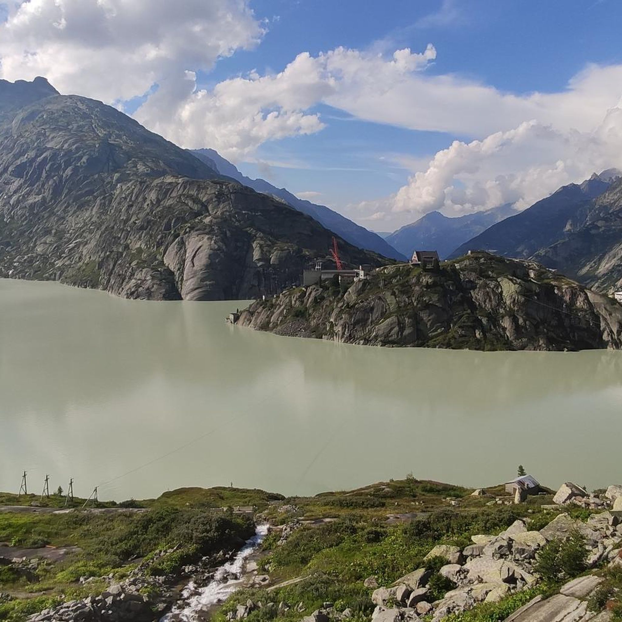
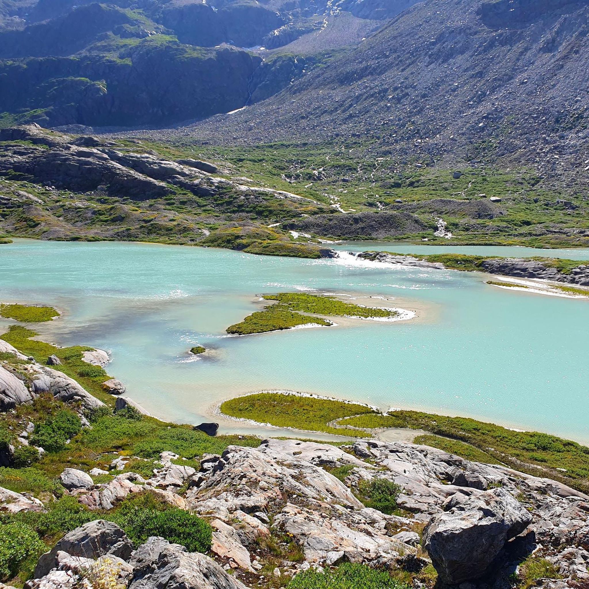
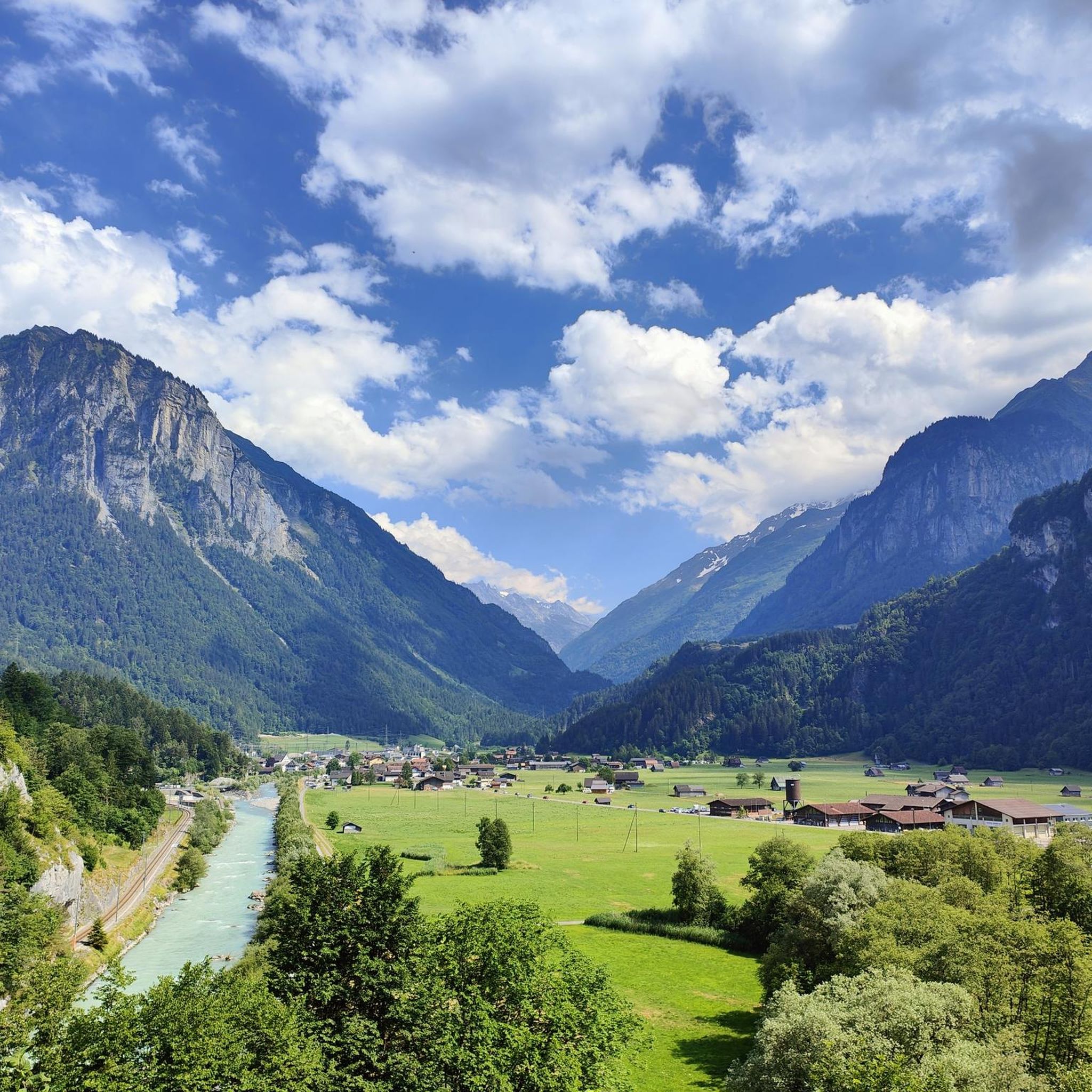
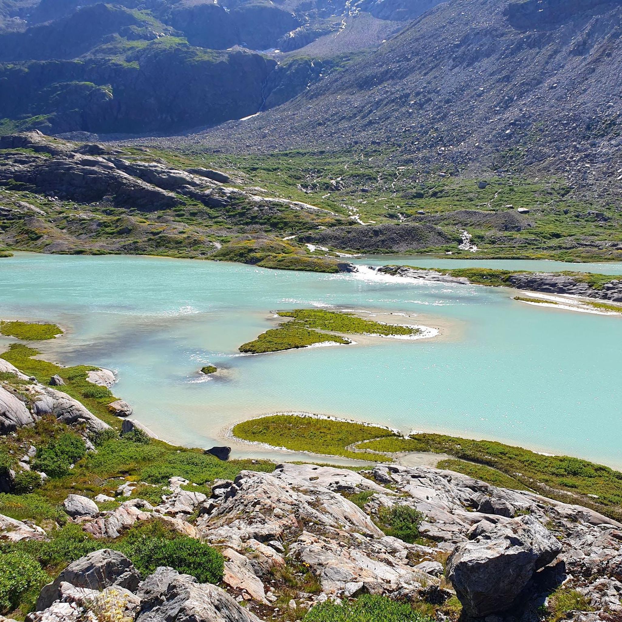
Hiking around Mattenalpsee offers access to a remote alpine environment in the Bernese Oberland, Switzerland. The region is characterized by the turquoise Mattenalpsee at 1,875 meters above sea level, fed by the Gauligletscher, and features steep, jagged mountains. Trails encompass diverse terrain, from alpine pastures and forest paths to moderately exposed sections with loose rocks. This area provides a wilderness experience with impressive alpine lakes and glaciers.
Best hiking trails around Mattenalpsee
- The most popular hiking route is View of…
Last updated: September 27, 2026
4.6
(5)
32
hikers
11.0km
05:42
910m
910m
Hard hike. Very good fitness required. Mostly accessible paths. Sure-footedness required.
5.0
(1)
7
hikers
11.5km
05:41
1,140m
1,140m
Hard hike. Very good fitness required. Sure-footedness, sturdy shoes and alpine experience required.

4.7
(107)
872
hikers
13.3km
05:47
590m
590m
Hard hike. Very good fitness required. Sure-footedness, sturdy shoes and alpine experience required.
5.0
(2)
12
hikers
10.8km
06:06
900m
900m
Hard hike. Very good fitness required. Sure-footedness, sturdy shoes and alpine experience required.
36
hikers
12.0km
06:58
1,070m
1,070m
Hard hike. Very good fitness required. Sure-footedness, sturdy shoes and alpine experience required.
Get access to more routes and recommendations from other explorers.
Already have an account?
Our route recommendations are based on thousands of hikes, rides, and runs completed by other people on komoot.
Start today with a free account
Your next adventure awaits.
Tips from the Community

Spectacular climb on the wall, easy to climb but still a thrill.
1
0

The Gelmer Dam above Handegg is 35 meters high and 370 meters long. It dams the turquoise-colored Gelmersee at 1,850 meters, which is used to generate electricity. The steep Gelmerbahn cable car (up to 106% gradient) takes you spectacularly to the dam in just 12 minutes – from there, the circular hike around the lake begins (4.5 km / 2–3 hours / T2–T3). Surefootedness is required: narrow rocky paths, secured with ropes – not suitable for strollers. 🔹 Panoramic trail around the lake 🔹 Ascent to the Gelmerhütte SAC (2,412 meters) is possible
0
0

In foggy weather you can't sunbathe, but it is still worth seeing and definitely worth a visit.
0
0

When the sun shines, the Caribbean flair comes to life😉
0
0

There are some safety ropes, but no safety devices, quite adventurous. Only accessible when dry, with a head for heights and mountain experience. Descent via the alternative hiking trail
0
0

View of Dossenhütte and Engelshörner.
0
0

The circular hike around Lake Gelmersee is a must. You can hike up or take the train.
0
0
Whether rock arch, waterfalls or the breathtaking lake, Gelmersee is absolutely worth visiting.
1
0
Frequently Asked Questions
How many hiking trails are available around Mattenalpsee?
The Mattenalpsee region offers over 50 hiking routes, catering primarily to experienced hikers, but also including some easier options. The komoot community has explored this varied terrain over 6,000 times.
What is the general difficulty level of hikes in the Mattenalpsee area?
Hikes around Mattenalpsee are generally considered challenging, with many routes rated as difficult (T2, T3, and T4 tracks). They often require very good fitness, sure-footedness, sturdy shoes, and alpine experience due to steep, moderately exposed sections with loose rocks and rugged terrain.
Are there any easier hiking options near Mattenalpsee for beginners or families?
While the region is known for its demanding trails, there are a few easier routes available. Out of the 51 trails, 7 are rated as easy and 11 as moderate, offering less strenuous options to experience the alpine environment.
What natural features and landmarks can I expect to see while hiking around Mattenalpsee?
Hikers can expect to see the stunning turquoise Mattenalpsee itself, fed by the fast-retreating Gauligletscher. Other notable features include the beautiful Gaulisee, impressive alpine lakes, glaciers, steep jagged mountains, and huge glacially-fed waterfalls on the opposite side of Mattenalpsee. The View of Gelmersee – View of Gelmersee loop from Gelmersee offers views of another prominent lake.
Is Mattenalpsee suitable for dog-friendly hikes?
The remote and rugged nature of the Mattenalpsee trails means they can be challenging for dogs, especially with steep sections and loose rocks. While dogs are generally allowed on Swiss hiking trails, it's crucial to assess your dog's fitness and ensure they are accustomed to alpine conditions. Always keep dogs on a leash, especially near livestock or wildlife.
Are there any circular hiking routes around Mattenalpsee?
Yes, several circular routes are available. For instance, the View of Holzfadghirmi (1850 m) – Gauli Area loop from Glogghüs is a difficult 11.0 km loop, and the Holzhüüs Cabin – Gasthof Bären Guttannen loop from Guttannen is another difficult 11.5 km circular path.
What is the best time of year to hike around Mattenalpsee?
The best time to hike around Mattenalpsee is typically during the summer months, from late June to early October, when the snow has melted and trails are more accessible. Early in the season, hikers may still encounter remnants of avalanches. Always check local weather and trail conditions before heading out, as alpine weather can change rapidly.
How can I get to the Mattenalpsee hiking trails using public transport?
Access to Mattenalpsee is challenging as there are no cable cars or roads directly to the lake. Public transport options would likely involve reaching a nearby village like Guttannen, and then embarking on a long hike over rugged terrain to reach the Mattenalpsee area. Planning your journey in advance with local transport schedules is essential.
Is parking available for hikers visiting Mattenalpsee?
Given the remote nature of Mattenalpsee, direct parking at the lake is not available. Hikers typically park in nearby villages or designated starting points for the longer approach hikes. For example, routes like Holzhüüs Cabin – Gasthof Bären Guttannen loop from Guttannen start from Guttannen, where parking options may be found.
Are there any accommodation options or huts for overnight stays in the Mattenalpsee region?
For those undertaking more demanding, multi-day hikes, the Gaulihütte serves as a recommended overnight stay. This allows hikers to break the journey into a two-day trek, providing a base in the remote wilderness.
Can I find places to eat or drink near the Mattenalpsee trails?
The Mattenalpsee area is characterized by its remote and untouched wilderness, meaning there are very few, if any, commercial establishments directly on the trails. For places to eat or drink, you would typically need to return to nearby villages like Guttannen. The Gaulihütte offers basic provisions for overnight guests.
What makes hiking around Mattenalpsee a unique experience?
Hiking around Mattenalpsee offers a profound sense of tranquility and a chance to experience nature away from crowds. Its remoteness, combined with the dramatic backdrop of turquoise alpine lakes, retreating glaciers, and steep, jagged mountains, provides a truly immersive wilderness experience and peaceful solitude.
Can I swim in Mattenalpsee?
Mattenalpsee is a high-alpine lake fed by the Gauligletscher, meaning its waters are extremely cold, even in summer. While there are no official restrictions against swimming, the frigid temperatures make it suitable only for the most daring and acclimatized individuals. Always exercise caution in alpine waters.
What kind of terrain should I expect on the trails to Mattenalpsee?
The trails to Mattenalpsee encompass diverse terrain, ranging from dirt roads through alpine pastures and forest paths to steeper, moderately exposed sections with loose rocks. Hikers should be prepared for rugged mountain paths and potentially challenging conditions, especially early in the season when remnants of avalanches might still be present.
Most popular routes around Mattenalpsee

Get inspired with the komoot mobile app


Explore more
Browse the best Hikes in other regions.
