The best running trails around Ballymaclanigan
46
runners
8
runs
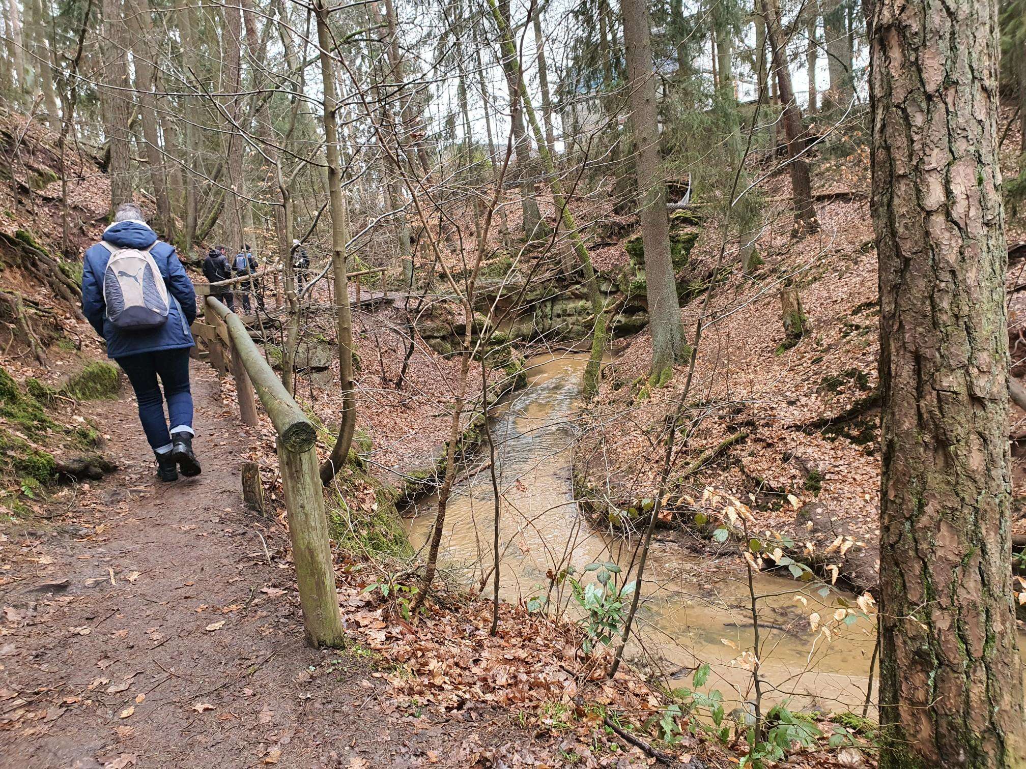
Jogging around Ballymaclanigan offers diverse terrain, characterized by elevated landscapes that provide panoramic views across Belfast and towards Cave Hill. The region features green meadows and shady paths, creating a serene environment for running. Proximity to green spaces like Belmont Park and Victoria Park Lake, along with access to the Comber Greenway, provides a variety of running options. These natural features support both challenging inclines and more gentle routes for runners.
Best jogging routes around Ballymaclanigan
- The most popular jogging…
Last updated: May 16, 2026
8
runners
5.65km
00:35
10m
10m
Moderate run. Good fitness required. Mostly paved surfaces. Suitable for all skill levels.
8
runners
8.79km
00:54
20m
20m
Moderate run. Good fitness required. Mostly paved surfaces. Suitable for all skill levels.

Sign up for free
7
runners
11.1km
01:28
310m
310m
Hard run. Very good fitness required. Mostly paved surfaces. Suitable for all skill levels.
7
runners
Moderate run. Good fitness required. Mostly paved surfaces. Suitable for all skill levels.
6
runners
19.5km
02:01
70m
70m
Hard run. Very good fitness required. Mostly paved surfaces. Suitable for all skill levels.
Get access to more routes and recommendations from other explorers.
Sign up for free
Already have an account?
Our route recommendations are based on thousands of hikes, rides, and runs completed by other people on komoot.
Start today with a free account
Your next adventure awaits.
Login or Signup
Popular around Ballymaclanigan


Frequently Asked Questions
How many running routes are available in Ballymaclanigan?
Ballymaclanigan offers a selection of 8 dedicated running routes on komoot, catering to various fitness levels. You'll find 6 moderate routes and 2 more challenging options, ensuring there's something for every runner.
What kind of terrain can I expect on Ballymaclanigan's jogging trails?
The jogging trails around Ballymaclanigan feature diverse terrain, from elevated landscapes offering panoramic views across Belfast to serene green meadows and shady forest paths. You can expect a mix of challenging inclines and more gentle, accessible sections, providing a varied and stimulating running experience.
Are there any routes with notable landmarks or scenic viewpoints?
Yes, many routes offer rewarding views. For instance, the elevated terrain provides expansive views across Belfast, including sights of Cave Hill. You can also explore the Ervey /Tamnymore Woods loop from Ness Waterfall, which leads through wooded areas and past the impressive Ness Waterfall, Northern Ireland's highest waterfall.
Are there any family-friendly running options in Ballymaclanigan?
While specific 'family-friendly' routes aren't explicitly categorized, the region's green spaces like Belmont Park and Victoria Park Lake offer quiet areas with walking trails and large greenspaces that can be suitable for families looking for less challenging, shorter runs or walks. The Running loop from Eglinton is a moderate 3.5-mile route with gentle elevation changes, which might be a good starting point.
Can I find circular running routes in Ballymaclanigan?
Yes, many of the routes in Ballymaclanigan are designed as loops, offering convenient circular runs. Examples include the popular Running loop from Eglinton and the more challenging Loughermore – Loughermore Forest loop from Loughermore River.
Are there any challenging running trails for experienced runners?
Absolutely. For experienced runners seeking a challenge, Ballymaclanigan offers routes with significant elevation gain. The Loughermore – Loughermore Forest loop from Loughermore River is a difficult 6.9-mile path leading through Loughermore Forest with substantial climbs. Another difficult option is the Park loop from Eglinton, which covers nearly 12 miles.
Are the running routes in Ballymaclanigan dog-friendly?
Many of Ballymaclanigan's green spaces and trails are generally dog-friendly, especially those in parks and natural areas. However, it's always recommended to check local signage for specific rules regarding dogs, such as leash requirements, in particular parks or nature reserves before heading out with your canine companion.
What is the best time of year to go jogging in Ballymaclanigan?
Ballymaclanigan's green meadows and shady paths make it enjoyable for jogging throughout much of the year. Spring and autumn offer pleasant temperatures and beautiful scenery. Summer provides longer daylight hours, while winter runs can be invigorating, though some paths might be muddier or require more caution due to weather conditions.
Are there any easy jogging paths for beginners?
While most routes are moderate or difficult, there is an easier option available. The Running loop from City of Derry Airport is classified as easy, covering about 1.8 miles with minimal elevation changes, making it suitable for beginners or those looking for a lighter run.
What do other runners enjoy most about jogging in Ballymaclanigan?
Runners using komoot frequently praise Ballymaclanigan's varied terrain and scenic beauty. The combination of elevated landscapes offering panoramic views, serene green meadows, and challenging forest paths provides a rewarding experience. The network of routes caters to different ability levels, making it a popular choice for many.
Are there any cafes or amenities near the running routes?
While specific cafes directly on the trails are not common, Ballymaclanigan is part of the wider Belfast area. You'll find amenities, including cafes and shops, in nearby urban centers and along main roads, especially close to larger parks like Victoria Park, which is known for its accessibility.
Most popular routes around Ballymaclanigan

Get inspired with the komoot mobile app


Explore more
Browse the best Running Trails & Routes in other regions.
