The best road cycling routes around Muldonagh
4.0
(1)
48
riders
6
rides
Road cycling routes around Muldonagh are characterized by diverse landscapes, including the scenic Strule Valley and the challenging terrain of the Sperrins mountains. The region features winding lanes and significant elevation gains, providing varied experiences for cyclists. Proximity to natural features like Learmount Forest adds to the area's appeal for outdoor activities.
Best road cycling routes around Muldonagh
- The most popular road cycling route is Draperstown, Gortin and Plumbridge loop — Sperrins, a 63.6 miles (102.3 km) trail that…
Last updated: May 16, 2026
4.0
(1)
1
riders
102km
05:08
1,350m
1,340m
Hard road ride. Very good fitness required. Mostly well-paved surfaces and easy to ride.
1
riders
96.5km
04:29
1,110m
1,110m
Hard road ride. Very good fitness required. Some segments of this route may be unpaved and difficult to ride.

Sign up for free
33
riders
109km
05:46
1,720m
1,720m
Hard road ride. Very good fitness required. Mostly well-paved surfaces and easy to ride.
3
riders
48.2km
02:21
530m
530m
Moderate road ride. Good fitness required. Mostly well-paved surfaces and easy to ride.
3
riders
31.3km
01:24
310m
310m
Moderate road ride. Good fitness required. Some segments of this route may be unpaved and difficult to ride.
Our route recommendations are based on thousands of hikes, rides, and runs completed by other people on komoot.
Start today with a free account
Your next adventure awaits.
Login or Signup
Popular around Muldonagh
Tips from the Community

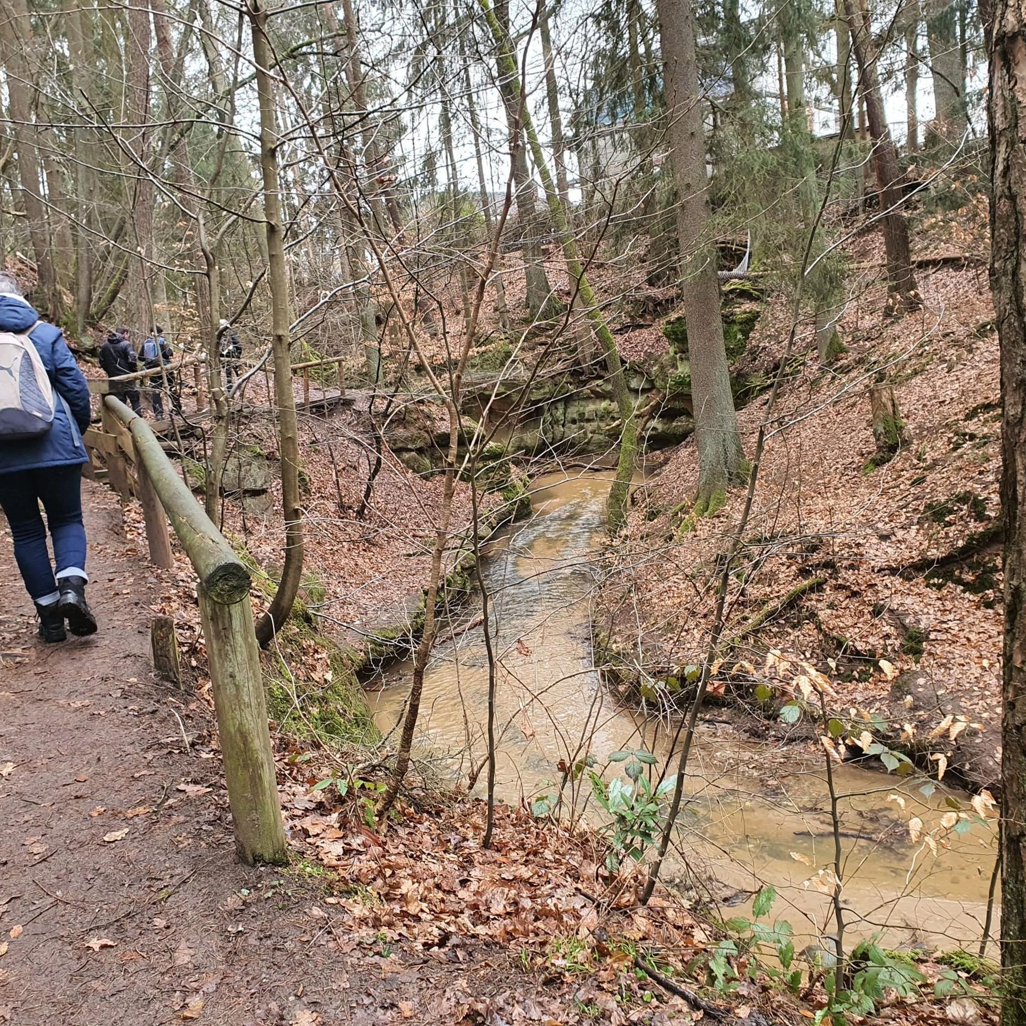
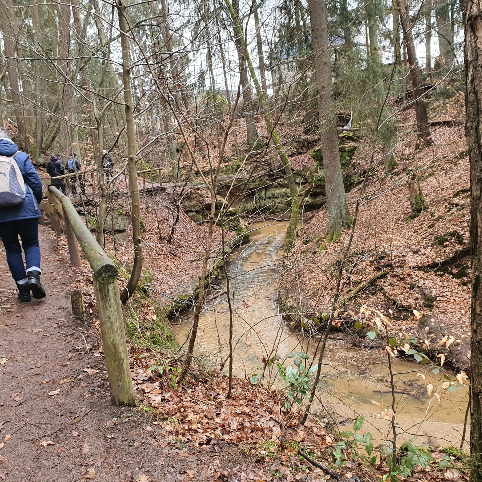
Learmount Wood is located at the foothills of the northern face of the Sperrins in Northern Ireland. The forest features a wonderful diversity of tree species, including some that have been there for over 100 years. It's a beautiful place for a stroll, featuring a stream and an abandoned mansion dating back to the 1830s.
1
0

Altinaghree Castle is also known as Liscloon House and it thought to have been built in 1860 by William Ogilby
1
0

With Barnes Top and Knockanbane Mountain to the east and Sawel Mountain to the south east, Sperrins Road carves through the landscape with cracking views all around. There is some descent climbing to get here but it's worth it.
0
0
The beautiful winding road of Tamnagh takes you through the heart of Sperrins AONB. You can enjoy views toward the Sperrins ridge including mountains Sawel, Dart, and Mullaghdoo. It's a tough climb up in this section, but the views at the top will make it all worthwhile.
1
0
The beautiful winding road of Tamnagh takes you through the heart of Sperrins AONB. You can enjoy views toward the Sperrins ridge including mountains Sawel, Dart, and Mullaghdoo.
2
0

If there's a good bench out in the wild then it's always a good idea to take a rest. You never know when you'll fund another bench.
1
0
Lough Neagh is the largest freshwater lake in all of the Ireland and the UK. Watch out for the famous eels if you go for a swm ;)
2
0

A great place to stop and refuel. Take a few moments to enjoy the peace
1
0
Frequently Asked Questions
How many road cycling routes are available around Muldonagh?
There are currently 6 road cycling routes around Muldonagh listed on komoot, offering diverse experiences for cyclists.
What kind of terrain and difficulty can I expect on road cycling routes in Muldonagh?
Muldonagh's road cycling routes feature diverse landscapes, from the scenic Strule Valley to the challenging terrain of the Sperrins mountains. You can expect winding lanes and significant elevation gains, with routes ranging from moderate to difficult. For example, the Draperstown, Gortin and Plumbridge loop — Sperrins is a difficult route with over 1300 meters of elevation gain.
Are there any easier road cycling routes suitable for beginners or those seeking a less strenuous ride?
Yes, while many routes in the Sperrins area are challenging, there are moderate options available. The Learmount Wood loop from Claudy is a moderate route covering about 31 km with around 300 meters of elevation, offering a more accessible ride.
What are some scenic viewpoints or natural features I can see along the road cycling routes?
The routes often provide views of the Sperrins mountains and the Strule Valley. You might also pass by points of interest such as Altnaheglish Reservoir, Learmount Castle, and the scenic Sperrin Road. The broader region also boasts Ness Country Park, home to Northern Ireland's highest waterfall, and Learmount Forest, known for easy hikes.
Are there any circular road cycling routes around Muldonagh?
Yes, many of the routes are designed as loops. Examples include the challenging Lough Neagh loop from Dungiven - Sperrins and the moderate Roadbike loop from Feeny, which are both circular routes.
What is the best time of year for road cycling in Muldonagh?
The Sperrins region, including Muldonagh, is best enjoyed for cycling during the warmer and drier months, typically from spring through autumn. This avoids the potentially harsh winter conditions and allows for better enjoyment of the scenic landscapes.
What do other road cyclists enjoy the most about road cycling in Muldonagh?
The area is highly rated by the komoot community, with an average score of 4.0 stars. Cyclists often praise the diverse terrain, from winding lanes to challenging mountain ascents, and the panoramic vistas offered by routes like the Lough Lark – Goles Stone Row loop from Feeny Road Bus Stop.
Are there any family-friendly road cycling options in the Muldonagh area?
While many routes in Muldonagh feature significant elevation gains and are rated moderate to difficult, the general area offers diverse outdoor activities. For families, Learmount Forest provides easy hikes, and Ness Country Park has accessible paths, which might be suitable for younger or less experienced cyclists on hybrid bikes, though dedicated easy road cycling routes for families are less common in the immediate Muldonagh area.
Where can I find parking or trailheads for road cycling routes in Muldonagh?
Specific parking information for each route trailhead is often detailed on the individual komoot tour pages. For instance, the Lough Lark – Goles Stone Row loop starts from the Feeny Road Bus Stop, indicating potential access points near public transport hubs or designated parking areas in nearby towns like Feeny, Claudy, or Dungiven.
Are there cafes or pubs along the road cycling routes in Muldonagh?
The Muldonagh area, being close to the Sperrins, has villages and towns that offer amenities. While specific cafes or pubs directly on the routes are not detailed, towns like Dungiven, Claudy, or Feeny, which serve as starting or passing points for some routes, would typically have options for refreshments and meals.
What is the longest road cycling route available around Muldonagh?
The longest route currently listed is the Lough Lark – Goles Stone Row loop from Feeny Road Bus Stop, which spans approximately 109 kilometers (67.8 miles) and features challenging ascents.
What is the shortest road cycling route available around Muldonagh?
The shortest road cycling route listed is the Learmount Wood loop from Claudy, covering about 31 kilometers (19.4 miles).
Most popular routes around Muldonagh
Most popular attractions around Muldonagh

Get inspired with the komoot mobile app


Explore more
Browse the best Road cycling routes in other regions.
