The best mountain hikes around Sämtisersee
4.8
(96)
836
hikers
53
hikes
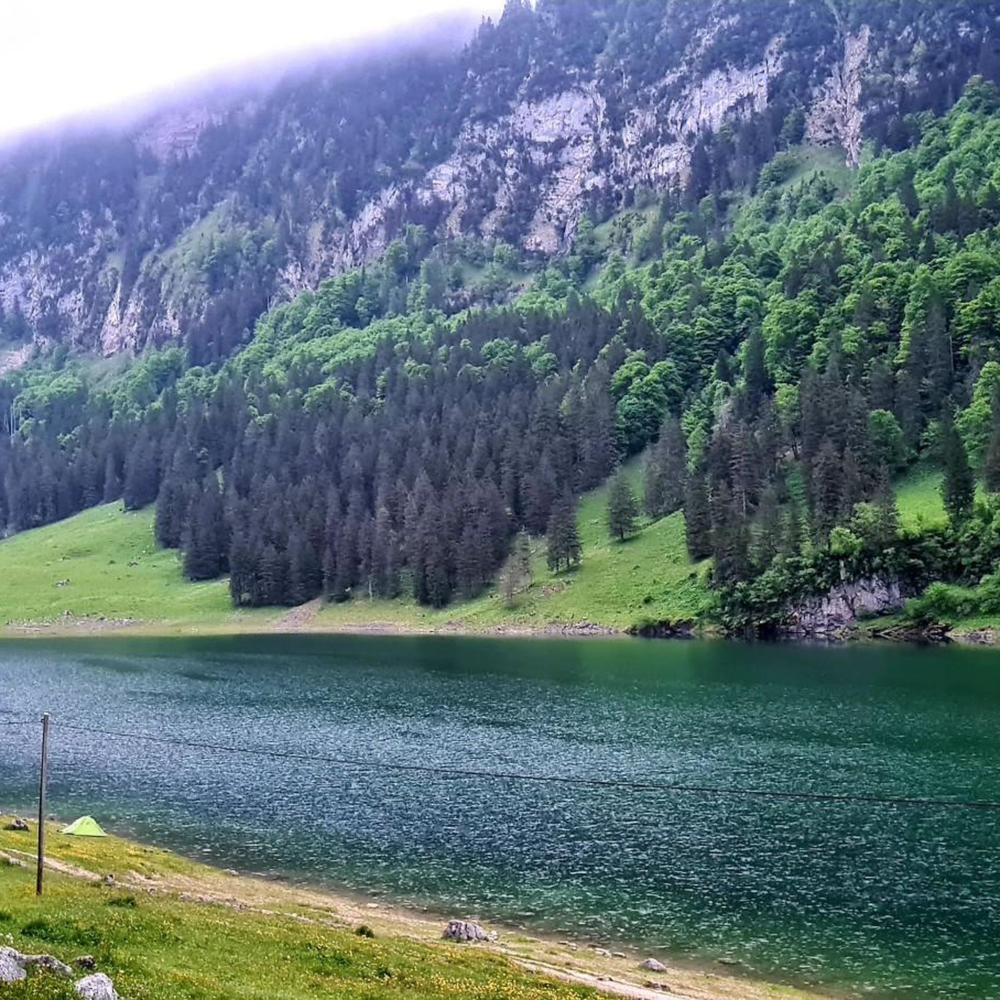
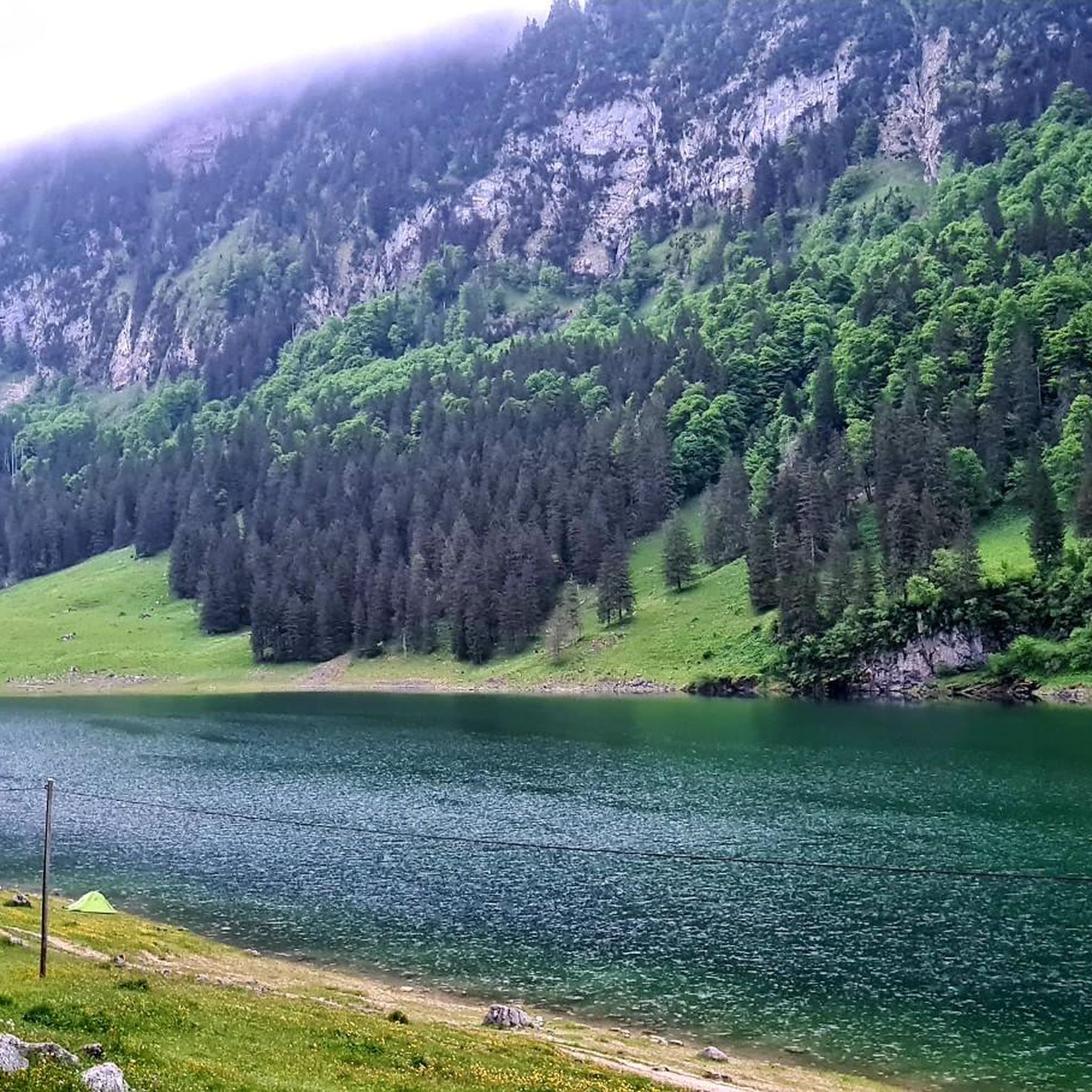
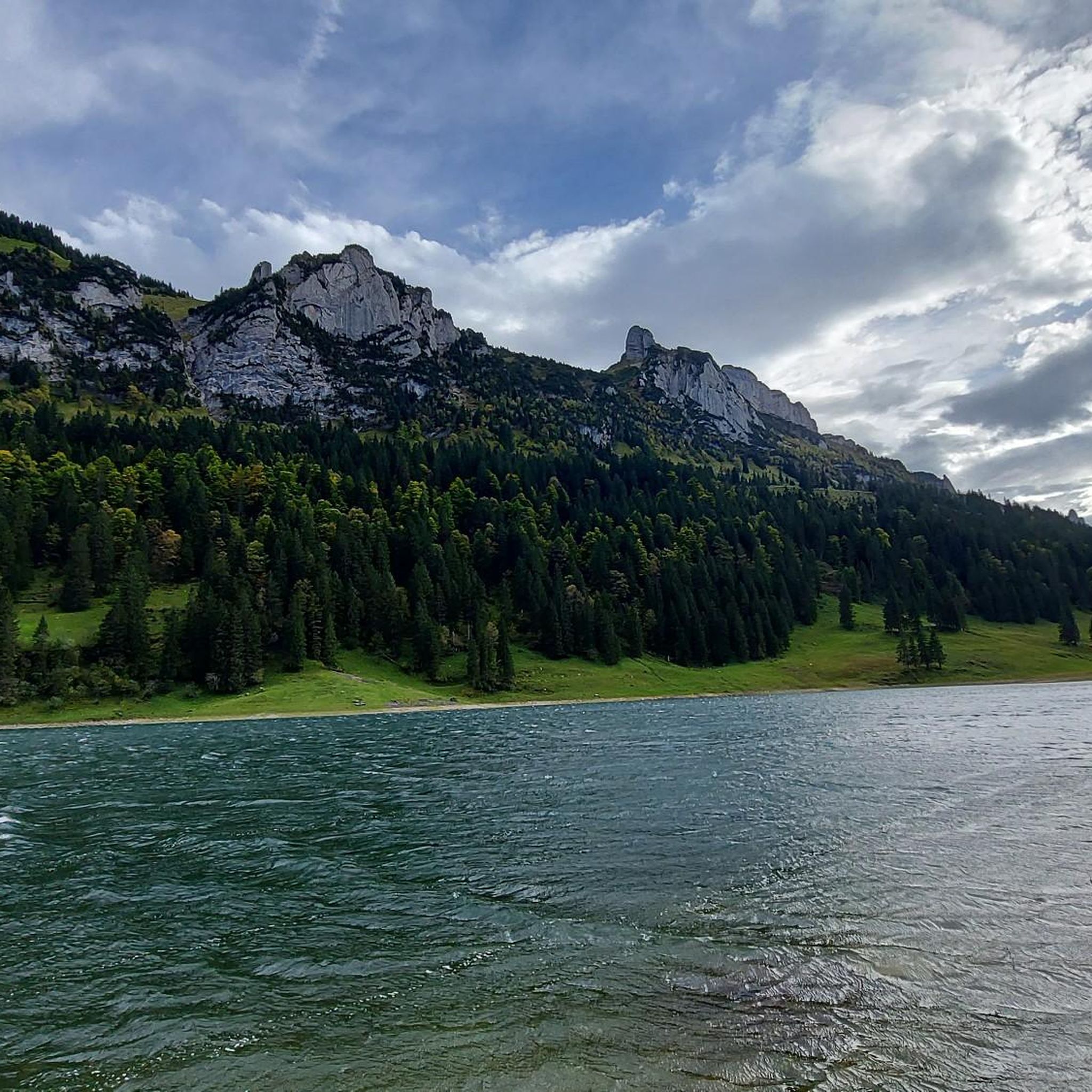
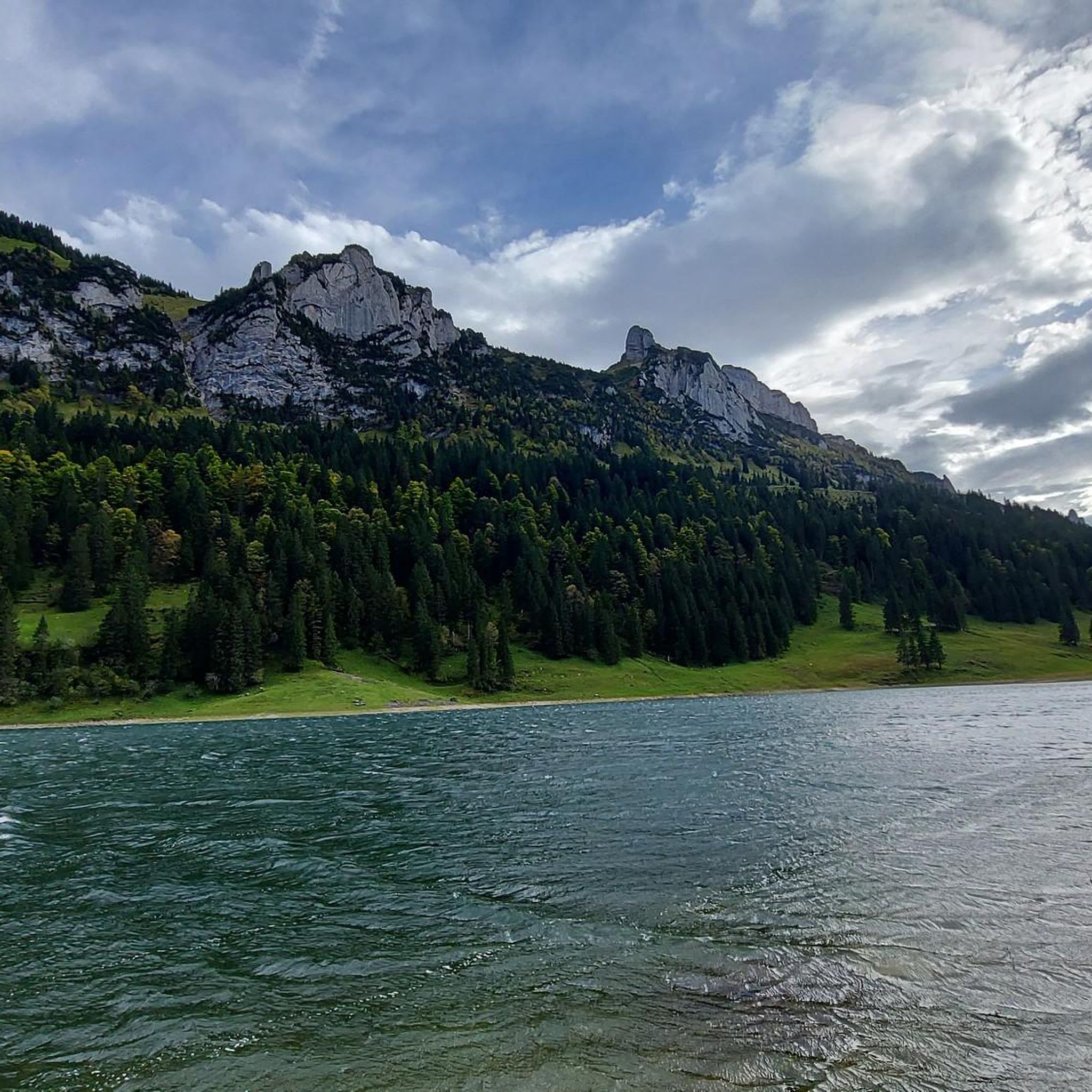
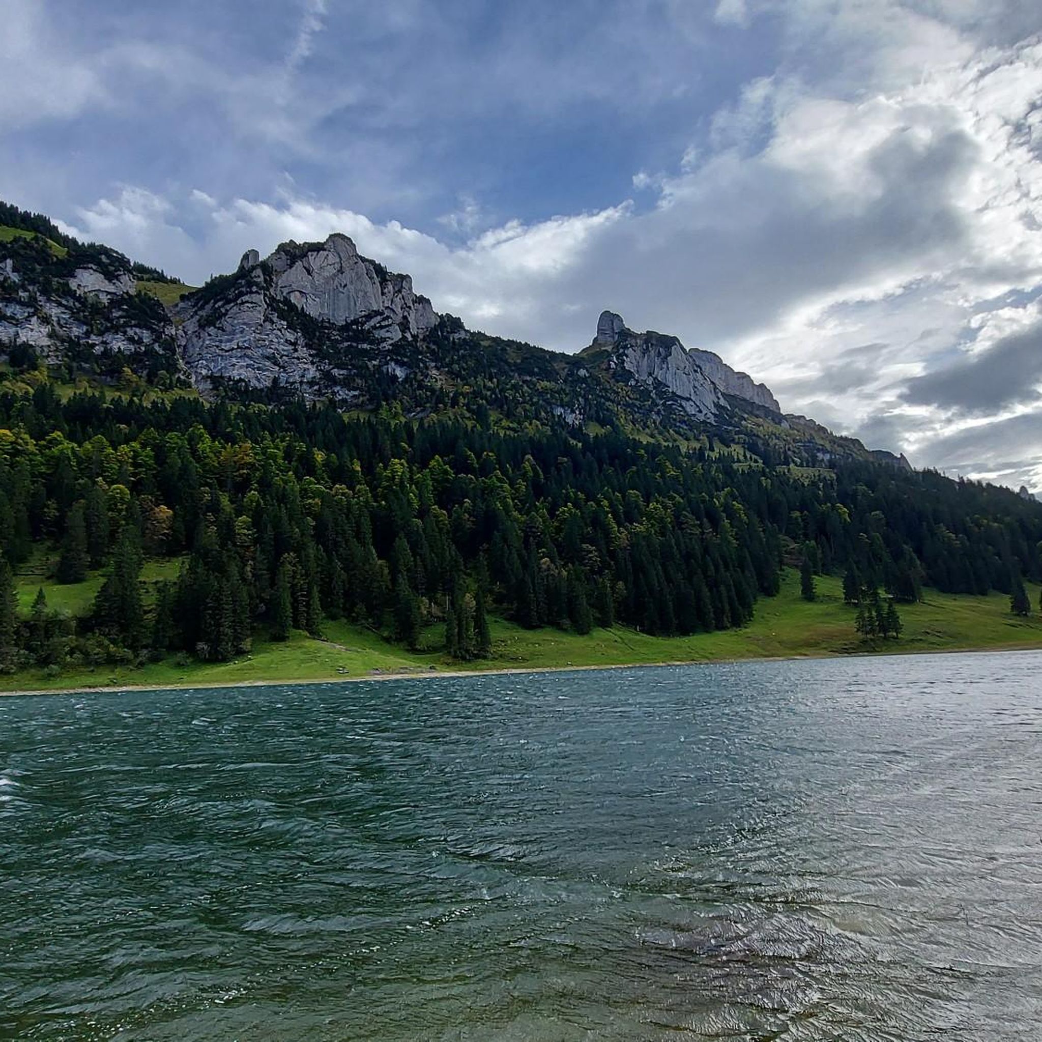
Mountaineering routes around Sämtisersee are situated within the Alpstein massif in northeastern Switzerland, characterized by steep mountain walls, rugged peaks, and crystal-clear blue-green waters. The region features diverse terrain, including alpine pastures, limestone formations, and climactic ridges, with the lake itself at an elevation of approximately 1,205 meters. This landscape offers significant elevation changes and exposed areas, making it suitable for varied mountaineering experiences.
Best mountaineering routes around Sämtisersee
- The most popular mountaineering route is Bollenwees Mountain Inn – Staubern…
Last updated: August 3, 2026
4.6
(15)
36
hikers
8.15km
03:18
390m
400m
Moderate mountaineering route. Good fitness required. Mostly accessible paths. Sure-footedness required.
5.0
(2)
23
hikers
6.79km
02:36
250m
250m
Moderate mountaineering route. Good fitness required. Mostly accessible paths. Sure-footedness required.

Sign up for free
4.8
(10)
65
hikers
18.6km
07:37
1,130m
1,130m
Hard mountaineering route. Very good fitness required. Sure-footedness, sturdy shoes and alpine experience required.
29
hikers
12.3km
05:00
870m
880m
Moderate mountaineering route. Good fitness required. Mostly accessible paths. Sure-footedness required.
5.0
(2)
21
hikers
9.01km
04:27
830m
840m
Hard mountaineering route. Good fitness required. Sure-footedness, sturdy shoes and alpine experience required.
Get access to more routes and recommendations from other explorers.
Sign up for free
Already have an account?
Our route recommendations are based on thousands of hikes, rides, and runs completed by other people on komoot.
Start today with a free account
Your next adventure awaits.
Login or Signup
Tips from the Community

The Saxer Lücke (approx. 1,670 m above sea level) is a striking rocky notch in the Alpstein between the cantons of Appenzell Innerrhoden and St. Gallen. It is one of the best-known viewpoints in Eastern Switzerland and offers a spectacular view of the jagged rock peaks, the Rhine Valley, and the Vorarlberg Alps. The Saxer Lücke is accessible via well-maintained mountain hiking trails, including from the Staubern mountain inn or from Frümsel. The traverse between Staubern and Hohen Kasten is particularly popular. In summer, the impressive landscape and alpine flora are a draw, while in autumn, seas of fog in the Rhine Valley often create unforgettable panoramas.
6
0


Good view of the Saxerlücke...
6
0

nice viewpoint but very busy.... remember to arrive early to be quiet (before 8am)
1
0

A true highlight of my hike – emotional and deeply moving! The Saxer Lücke had been on my to-do list for a long time, and I finally got to experience this special place.
0
0

Some caution is advised on this section. The ground is rocky and uneven.
0
0
View of Lake Fälen and the mountains
1
0

Coming from Mutschen, after the Saxer Lücke, the path goes steeply up to the ridge... the view of the Kreuzberge is very impressive...
2
0
Frequently Asked Questions
What kind of terrain can I expect on mountaineering routes around Sämtisersee?
The Alpstein massif, where Sämtisersee is located, offers incredibly diverse terrain. You'll encounter alpine pastures, dense forests, and dramatic limestone formations, including vertical towers and climactic ridges. Many routes feature significant elevation changes and can include exposed areas with fixed cables, rungs, and metal-braced stairs, especially on higher trails. The crystal-clear blue-green waters of Sämtisersee itself provide a stunning backdrop to these rugged landscapes.
Are there mountaineering routes suitable for different experience levels around Sämtisersee?
Yes, the region offers a range of mountaineering experiences. While many routes are challenging and suitable for experienced hikers comfortable with steep drop-offs and secured sections, there are also moderate options. For instance, the Staubern Mountain Inn – Bollenwees Mountain Inn loop from Staubernkanzel is a moderate 8.2 km path, offering a mix of alpine scenery. Overall, komoot lists 17 moderate and 40 difficult mountaineering routes in the area.
How long do mountaineering routes around Sämtisersee typically take to complete?
The duration varies significantly depending on the route's length and difficulty. For example, the Staubern Mountain Inn – Saxer Lücke loop from Sämtisersee, a moderate 6.8 km trail, can be completed in about 2 hours 36 minutes. More challenging routes, like the Bollenwees Mountain Inn – Staubern Mountain Inn loop from Hoher Kasten, which is 17.6 km with substantial ascents, typically take around 7 hours.
What are some notable natural features or landmarks I might see on a mountaineering tour?
Beyond the stunning Sämtisersee itself, the Alpstein region is home to other beautiful mountain lakes like Fählensee and Seealpsee, which are often connected by popular trails. You might also encounter the charming Maria Heimsuchung Chapel, nestled in a forest clearing. The dramatic peaks like Hoher Kasten and Säntis offer expansive views, and the unique limestone formations are a constant feature of the landscape.
Are there any circular mountaineering routes available?
Yes, several routes offer a circular experience, allowing you to start and end at the same point. A popular option is the Bollenwees Mountain Inn – Staubern Mountain Inn loop from Hoher Kasten, which is a challenging 17.6 km tour. Another is the Kamor Summit loop from Rüte, a moderate 12.2 km route.
What do other mountaineers enjoy most about the routes around Sämtisersee?
The mountaineering routes around Sämtisersee are highly rated by the komoot community, with an average score of 4.9 stars from over 120 reviews. Reviewers often praise the breathtaking panoramic views of the Alpstein region, the diverse and challenging terrain, and the opportunity to experience the serene beauty of the mountain lakes and rugged peaks.
Is it possible to reach the trailheads using public transport?
The Alpstein region is generally well-connected, and many trailheads are accessible via public transport, often involving a combination of buses and cableways. For specific routes, it's advisable to check local transport schedules to plan your journey to the starting points.
Are there options for food and accommodation along the mountaineering routes?
Yes, the region is known for its cozy mountain inns (Berggasthäuser) situated along many routes. These inns, such as the Bollenwees Mountain Inn and Staubern Mountain Inn, offer opportunities for rest, traditional meals, and sometimes overnight stays, making hut-to-hut trekking a popular option in the Alpstein.
Can I bring my dog on mountaineering routes around Sämtisersee?
Many trails in the Alpstein region are dog-friendly, but it's essential to be aware of the specific conditions. Some routes feature steep, exposed sections with fixed cables or ladders, which can be challenging or unsafe for dogs. Always keep your dog on a leash, especially in alpine pastures where livestock may be present, and ensure they are fit enough for the chosen route. Check specific route details for any restrictions.
What is the best time of year for mountaineering around Sämtisersee?
The best time for mountaineering around Sämtisersee is typically from late spring to early autumn (June to October). During these months, the weather is generally more stable, snow has melted from higher elevations, and mountain inns are open. Some challenging routes may still have snow patches early in the season. Winter mountaineering is possible but requires specialized equipment and experience due to snow, ice, and avalanche risks.
Are there any less crowded mountaineering routes or areas to explore?
While popular spots like Sämtisersee and Seealpsee can attract many visitors, the Alpstein boasts Switzerland's densest hiking trail network, offering numerous alternatives. Exploring routes that venture slightly off the main paths or starting early in the morning can help you find more solitude. The Fälensee – Bollenwees Mountain Inn loop from Rüte, a difficult 17 km route, might offer a more secluded experience compared to the most popular trails.
Most popular routes around Sämtisersee

Get inspired with the komoot mobile app


Explore more
Browse the best Mountain Hikes & Routes in other regions.
